Lavaca County Rolled Sketch 5

Print $40.00
- Digital $50.00
Lavaca County Rolled Sketch 5
Size: 37.0 x 49.1 inches
10288
Lavaca County Rolled Sketch 7

Print $20.00
- Digital $50.00
Lavaca County Rolled Sketch 7
Size: 37.4 x 32.7 inches
10291
Colorado County Sketch File 12

Print $20.00
- Digital $50.00
Colorado County Sketch File 12
Size: 14.6 x 17.8 inches
11135
Lavaca County Sketch File 4

Print $6.00
- Digital $50.00
Lavaca County Sketch File 4
Size: 8.2 x 15.3 inches
29636
Lavaca County Sketch File 6

Print $2.00
- Digital $50.00
Lavaca County Sketch File 6
Size: 7.3 x 3.2 inches
29641
Lavaca County Sketch File 9

Print $22.00
- Digital $50.00
Lavaca County Sketch File 9
Size: 7.2 x 13.4 inches
29646
Lavaca County Sketch File 20

Print $8.00
- Digital $50.00
Lavaca County Sketch File 20
Size: 10.0 x 8.0 inches
29650
Lavaca County Boundary File 58

Print $20.00
- Digital $50.00
Lavaca County Boundary File 58
Size: 8.5 x 7.1 inches
56259
[San Antonio & Aransas Pass]
Print $40.00
- Digital $50.00
[San Antonio & Aransas Pass]
Size: 17.0 x 50.7 inches
64208
[San Antonio & Aransas Pass]
Print $20.00
- Digital $50.00
[San Antonio & Aransas Pass]
Size: 15.2 x 45.5 inches
64209
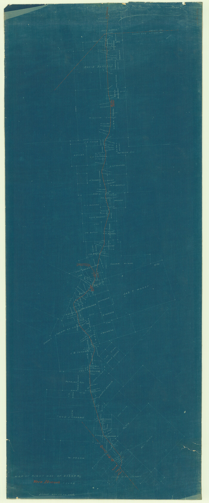
[San Antonio & Aransas Pass]
Print $20.00
- Digital $50.00
[San Antonio & Aransas Pass]
Size: 35.4 x 14.8 inches
64210
[San Antonio & Aransas Pass]
Print $2.00
- Digital $50.00
[San Antonio & Aransas Pass]
Size: 11.6 x 8.2 inches
64211
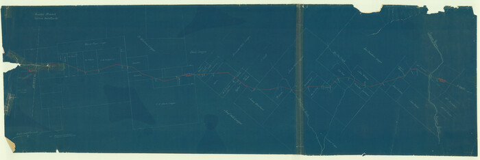
San Antonio & Aransas Pass

Print $40.00
- Digital $50.00
San Antonio & Aransas Pass
Size: 30.9 x 74.5 inches
64633
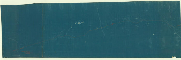
San Antonio & Aransas Pass

Print $40.00
- Digital $50.00
San Antonio & Aransas Pass
Size: 30.4 x 81.6 inches
64634
Wharton County Working Sketch 1

Print $20.00
- Digital $50.00
Wharton County Working Sketch 1
Size: 23.3 x 21.4 inches
72465
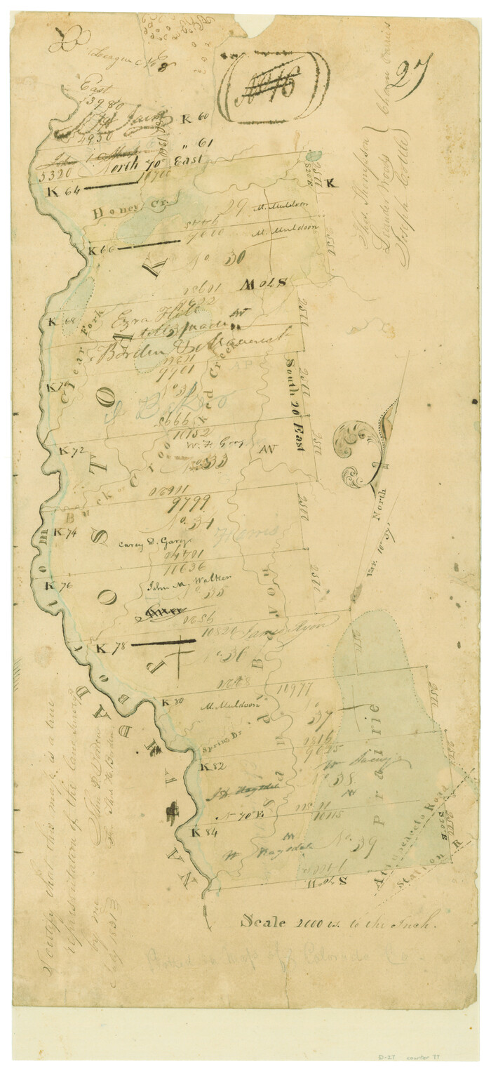
[Surveys in Austin's Colony along the Navidad River; John P. Borden for Thos. H. Borden]
Print $20.00
- Digital $50.00
[Surveys in Austin's Colony along the Navidad River; John P. Borden for Thos. H. Borden]
1831
Size: 20.6 x 9.3 inches
77
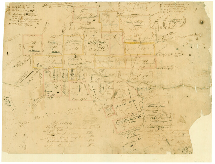
Connected Map of DeWitt's Colony compiled from the surveys of Byrd Lockhart

Print $40.00
- Digital $50.00
Connected Map of DeWitt's Colony compiled from the surveys of Byrd Lockhart
1831
Size: 39.2 x 54.0 inches
1942
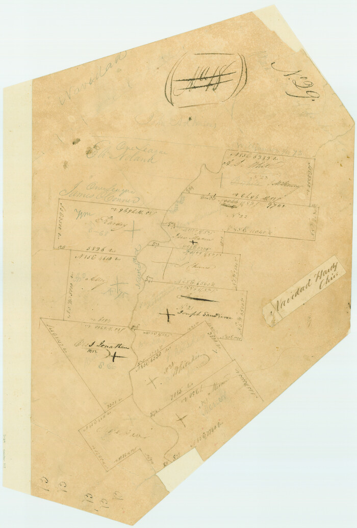
[Surveys in Austin's Colony on both sides of the Navidad River]
Print $20.00
- Digital $50.00
[Surveys in Austin's Colony on both sides of the Navidad River]
1831
Size: 18.8 x 12.7 inches
217
[Surveys in Austin's Colony along the Navidad River, Caney Fork, and upper Rocky Creek]
Print $20.00
- Digital $50.00
[Surveys in Austin's Colony along the Navidad River, Caney Fork, and upper Rocky Creek]
1831
Size: 20.5 x 26.7 inches
201
English Field Notes of the Spanish Archives - Book Lockhart

English Field Notes of the Spanish Archives - Book Lockhart
1832
96539
English Field Notes of the Spanish Archives - Book 1

English Field Notes of the Spanish Archives - Book 1
1833
96527
English Field Notes of the Spanish Archives - Book 2

English Field Notes of the Spanish Archives - Book 2
1835
96528
English Field Notes of the Spanish Archives - Book 5

English Field Notes of the Spanish Archives - Book 5
1835
96531
English Field Notes of the Spanish Archives - Book 7

English Field Notes of the Spanish Archives - Book 7
1835
96533
English Field Notes of the Spanish Archives - Book 10

English Field Notes of the Spanish Archives - Book 10
1835
96536
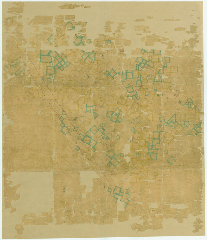
Connected Map of the County of Victoria

Print $40.00
- Digital $50.00
Connected Map of the County of Victoria
1838
Size: 79.7 x 49.0 inches
1946
A Map of Gonzales County

Print $20.00
- Digital $50.00
A Map of Gonzales County
1838
Size: 34.7 x 39.2 inches
16838
[Gonzales District]
Print $20.00
- Digital $50.00
[Gonzales District]
1840
Size: 42.8 x 37.0 inches
16837
Plat of All Surveys on the Lavaca Not Heretofor Returned

Print $2.00
- Digital $50.00
Plat of All Surveys on the Lavaca Not Heretofor Returned
1841
Size: 12.5 x 7.8 inches
78361
Plot of a survey made to connect the surveys in Jackson County with those heretofore made in connection with Colorado County

Print $2.00
- Digital $50.00
Plot of a survey made to connect the surveys in Jackson County with those heretofore made in connection with Colorado County
1847
Size: 12.8 x 7.7 inches
188
Lavaca County Rolled Sketch 5
Print $40.00
- Digital $50.00
Lavaca County Rolled Sketch 5
-
Size
37.0 x 49.1 inches
-
Map/Doc
10288
Lavaca County Rolled Sketch 7
Print $20.00
- Digital $50.00
Lavaca County Rolled Sketch 7
-
Size
37.4 x 32.7 inches
-
Map/Doc
10291
Colorado County Sketch File 12
Print $20.00
- Digital $50.00
Colorado County Sketch File 12
-
Size
14.6 x 17.8 inches
-
Map/Doc
11135
Lavaca County Sketch File 4
Print $6.00
- Digital $50.00
Lavaca County Sketch File 4
-
Size
8.2 x 15.3 inches
-
Map/Doc
29636
Lavaca County Sketch File 6
Print $2.00
- Digital $50.00
Lavaca County Sketch File 6
-
Size
7.3 x 3.2 inches
-
Map/Doc
29641
Lavaca County Sketch File 9
Print $22.00
- Digital $50.00
Lavaca County Sketch File 9
-
Size
7.2 x 13.4 inches
-
Map/Doc
29646
Lavaca County Sketch File 20
Print $8.00
- Digital $50.00
Lavaca County Sketch File 20
-
Size
10.0 x 8.0 inches
-
Map/Doc
29650
Lavaca County Boundary File 58
Print $20.00
- Digital $50.00
Lavaca County Boundary File 58
-
Size
8.5 x 7.1 inches
-
Map/Doc
56259
[San Antonio & Aransas Pass]
Print $40.00
- Digital $50.00
[San Antonio & Aransas Pass]
-
Size
17.0 x 50.7 inches
-
Map/Doc
64208
[San Antonio & Aransas Pass]
Print $20.00
- Digital $50.00
[San Antonio & Aransas Pass]
-
Size
15.2 x 45.5 inches
-
Map/Doc
64209
[San Antonio & Aransas Pass]
Print $20.00
- Digital $50.00
[San Antonio & Aransas Pass]
-
Size
35.4 x 14.8 inches
-
Map/Doc
64210
[San Antonio & Aransas Pass]
Print $2.00
- Digital $50.00
[San Antonio & Aransas Pass]
-
Size
11.6 x 8.2 inches
-
Map/Doc
64211
San Antonio & Aransas Pass
Print $40.00
- Digital $50.00
San Antonio & Aransas Pass
-
Size
30.9 x 74.5 inches
-
Map/Doc
64633
San Antonio & Aransas Pass
Print $40.00
- Digital $50.00
San Antonio & Aransas Pass
-
Size
30.4 x 81.6 inches
-
Map/Doc
64634
Wharton County Working Sketch 1
Print $20.00
- Digital $50.00
Wharton County Working Sketch 1
-
Size
23.3 x 21.4 inches
-
Map/Doc
72465
[Surveys in Austin's Colony along the Navidad River; John P. Borden for Thos. H. Borden]
Print $20.00
- Digital $50.00
[Surveys in Austin's Colony along the Navidad River; John P. Borden for Thos. H. Borden]
1831
-
Size
20.6 x 9.3 inches
-
Map/Doc
77
-
Creation Date
1831
Connected Map of DeWitt's Colony compiled from the surveys of Byrd Lockhart
Print $40.00
- Digital $50.00
Connected Map of DeWitt's Colony compiled from the surveys of Byrd Lockhart
1831
-
Size
39.2 x 54.0 inches
-
Map/Doc
1942
-
Creation Date
1831
[Surveys in Austin's Colony on both sides of the Navidad River]
Print $20.00
- Digital $50.00
[Surveys in Austin's Colony on both sides of the Navidad River]
1831
-
Size
18.8 x 12.7 inches
-
Map/Doc
217
-
Creation Date
1831
[Surveys in Austin's Colony along the Navidad River, Caney Fork, and upper Rocky Creek]
Print $20.00
- Digital $50.00
[Surveys in Austin's Colony along the Navidad River, Caney Fork, and upper Rocky Creek]
1831
-
Size
20.5 x 26.7 inches
-
Map/Doc
201
-
Creation Date
1831
English Field Notes of the Spanish Archives - Book Lockhart
English Field Notes of the Spanish Archives - Book Lockhart
1832
-
Map/Doc
96539
-
Creation Date
1832
English Field Notes of the Spanish Archives - Book 1
English Field Notes of the Spanish Archives - Book 1
1833
-
Map/Doc
96527
-
Creation Date
1833
English Field Notes of the Spanish Archives - Book 2
English Field Notes of the Spanish Archives - Book 2
1835
-
Map/Doc
96528
-
Creation Date
1835
English Field Notes of the Spanish Archives - Book 5
English Field Notes of the Spanish Archives - Book 5
1835
-
Map/Doc
96531
-
Creation Date
1835
English Field Notes of the Spanish Archives - Book 7
English Field Notes of the Spanish Archives - Book 7
1835
-
Map/Doc
96533
-
Creation Date
1835
English Field Notes of the Spanish Archives - Book 10
English Field Notes of the Spanish Archives - Book 10
1835
-
Map/Doc
96536
-
Creation Date
1835
Connected Map of the County of Victoria
Print $40.00
- Digital $50.00
Connected Map of the County of Victoria
1838
-
Size
79.7 x 49.0 inches
-
Map/Doc
1946
-
Creation Date
1838
A Map of Gonzales County
Print $20.00
- Digital $50.00
A Map of Gonzales County
1838
-
Size
34.7 x 39.2 inches
-
Map/Doc
16838
-
Creation Date
1838
[Gonzales District]
Print $20.00
- Digital $50.00
[Gonzales District]
1840
-
Size
42.8 x 37.0 inches
-
Map/Doc
16837
-
Creation Date
1840
Plat of All Surveys on the Lavaca Not Heretofor Returned
Print $2.00
- Digital $50.00
Plat of All Surveys on the Lavaca Not Heretofor Returned
1841
-
Size
12.5 x 7.8 inches
-
Map/Doc
78361
-
Creation Date
1841
Plot of a survey made to connect the surveys in Jackson County with those heretofore made in connection with Colorado County
Print $2.00
- Digital $50.00
Plot of a survey made to connect the surveys in Jackson County with those heretofore made in connection with Colorado County
1847
-
Size
12.8 x 7.7 inches
-
Map/Doc
188
-
Creation Date
1847