89 results

Texas Hill Country Trail Region
96871.tif

Texas Hill Country Trail Region

2017

Size: 18.2 x 24.3 inches
96871
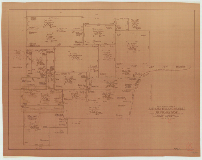
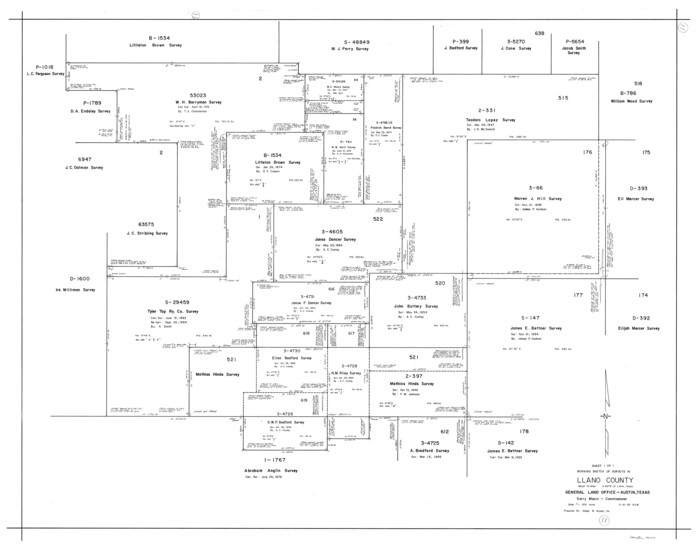
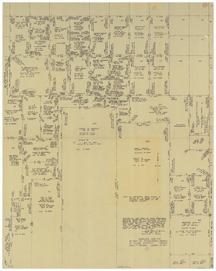
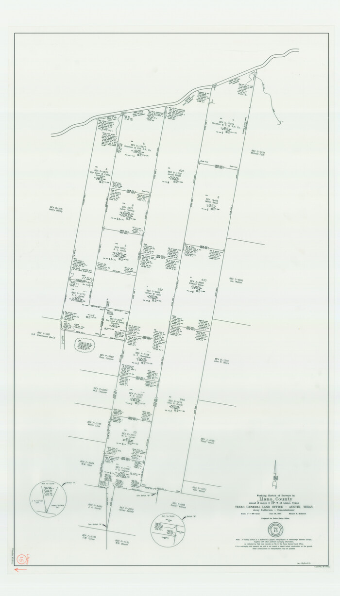
Llano County Working Sketch 15
87372.tif
Print $20.00 - Digital $50.00

Llano County Working Sketch 15

2007

Size: 46.0 x 26.2 inches
87372
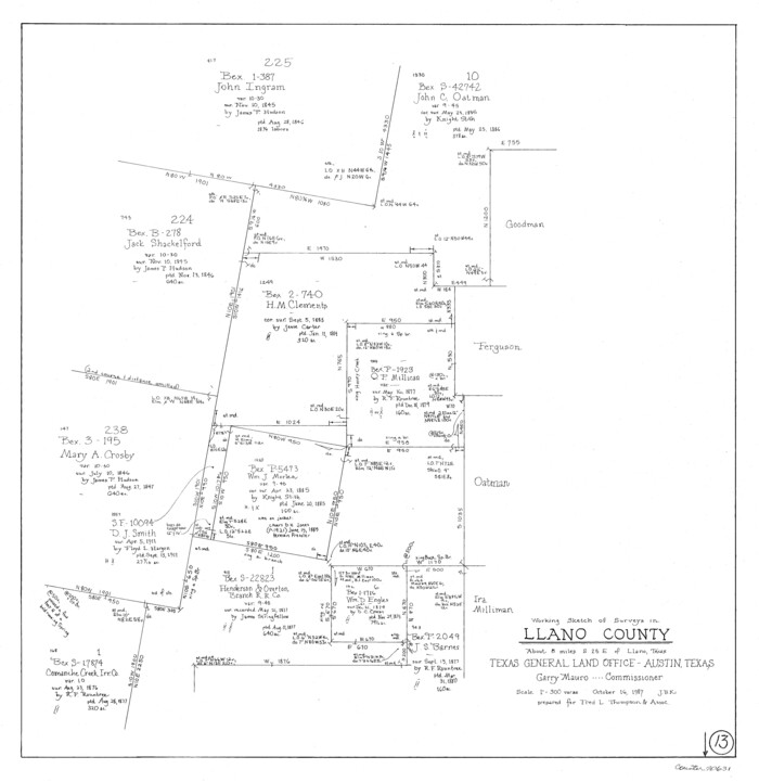
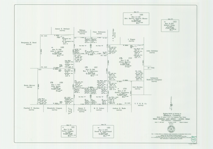
Blanco County Working Sketch 45
88609.tif
Print $6.00 - Digital $50.00

Blanco County Working Sketch 45

2007
Size: 23.9 x 34.0 inches
88609
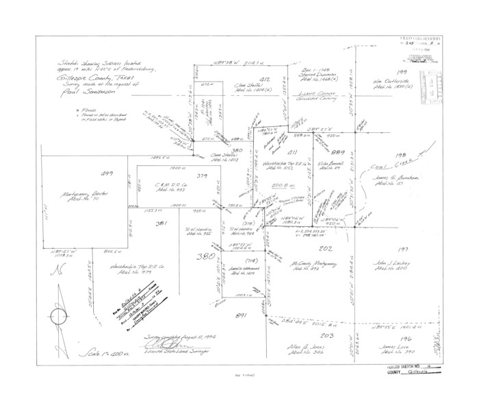
Gillespie County Rolled Sketch 4
6011.tif
Print $20.00 - Digital $50.00

Gillespie County Rolled Sketch 4

1994

Size: 23.3 x 27.1 inches
6011
Gillespie County Rolled Sketch 2
6009.tif
Print $20.00 - Digital $50.00

Gillespie County Rolled Sketch 2

1977

Size: 22.8 x 22.7 inches
6009
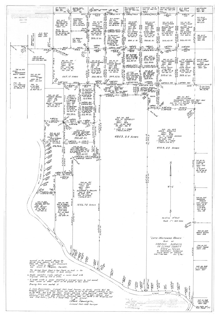
Llano County Rolled Sketch 1
9458.tif
Print $20.00 - Digital $50.00

Llano County Rolled Sketch 1

1961

Size: 43.9 x 30.3 inches
9458
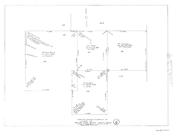
Llano County Sketch File 19
30397, Llano County Sketch File 19, General Map Collection
Print $16.00 - Digital $50.00

Llano County Sketch File 19

1961

Size: 14.2 x 8.7 inches
30397
General Highway Map, Llano County, Texas
79576.tif
Print $20.00

General Highway Map, Llano County, Texas

1961
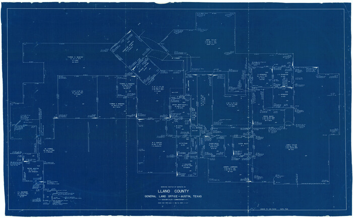
Size: 18.2 x 24.6 inches
79576
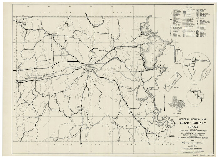
General Highway Map Llano County Texas
92883.tif
Print $20.00 - Digital $50.00

General Highway Map Llano County Texas

1953
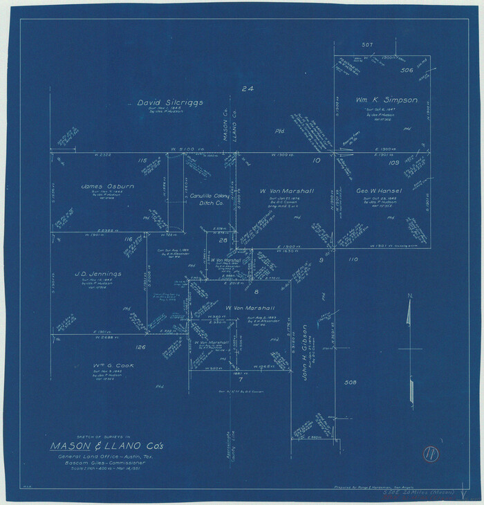
Size: 17.1 x 12.5 inches
92883
Llano County Sketch File 18
12013, Llano County Sketch File 18, General Map Collection
Print $20.00 - Digital $50.00

Llano County Sketch File 18

1949

Size: 22.3 x 20.0 inches
12013
Llano County Sketch File 17
12012, Llano County Sketch File 17, General Map Collection
Print $20.00 - Digital $50.00

Llano County Sketch File 17

1949

Size: 21.8 x 20.2 inches
12012
Highland Lakes of Central Texas
60291-GC.tif
Print $20.00 - Digital $50.00

Highland Lakes of Central Texas

1947

Size: 18.2 x 21.9 inches
60291
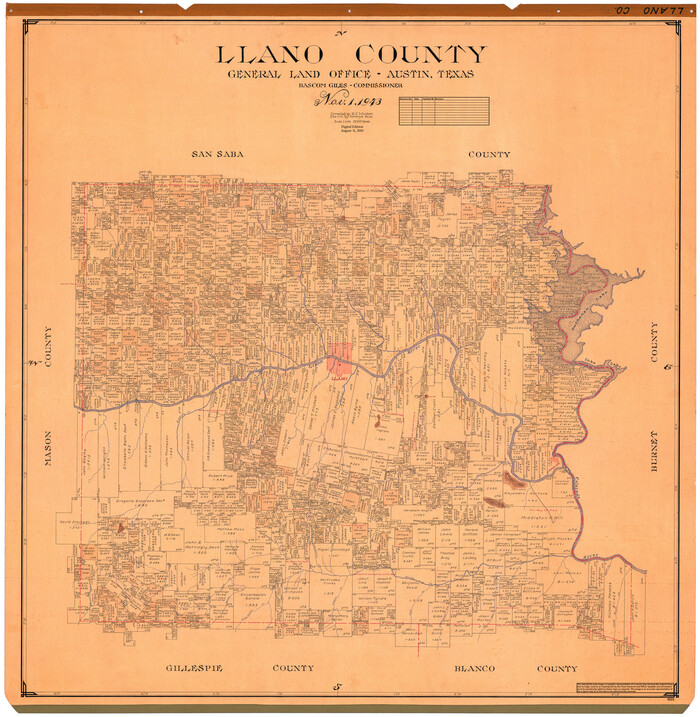
Llano County
1885.tif
Print $20.00 - Digital $50.00

Llano County

1943

Size: 44.2 x 42.8 inches
1885
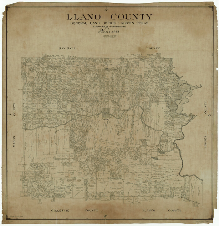
Llano County
73224.tif
Print $20.00 - Digital $50.00

Llano County

1943

Size: 44.1 x 42.6 inches
73224
Llano County Working Sketch Graphic Index
76624.tif
Print $20.00 - Digital $50.00

Llano County Working Sketch Graphic Index

1943

Size: 43.7 x 42.6 inches
76624
Llano County
95574.tif
Print $20.00 - Digital $50.00

Llano County

1943

Size: 45.5 x 44.2 inches
95574
Llano County
77357-1.tif
Print $20.00 - Digital $50.00

Llano County

1943

Size: 42.4 x 40.9 inches
77357
General Highway Map, Llano County, Texas
79178.tif
Print $20.00

General Highway Map, Llano County, Texas

1940

Size: 18.4 x 24.9 inches
79178
Burnet County Sketch File 36
11025, Burnet County Sketch File 36, General Map Collection
Print $60.00 - Digital $50.00

Burnet County Sketch File 36

1935

Size: 25.7 x 17.6 inches
11025
Burnet County Sketch File 37
16754, Burnet County Sketch File 37, General Map Collection
Print $2.00 - Digital $50.00

Burnet County Sketch File 37

1935

Size: 10.1 x 8.2 inches
16754
Lake Buchanan, Burnet and Llano Counties, Texas
3136-GC.tif
Print $20.00 - Digital $50.00

Lake Buchanan, Burnet and Llano Counties, Texas

1935

Size: 20.7 x 14.4 inches
3136
Mason County Sketch File 23
30723, Mason County Sketch File 23, General Map Collection
Print $42.00 - Digital $50.00

Mason County Sketch File 23

1932

Size: 11.2 x 8.8 inches
30723
Mason County Sketch File 22
30719, Mason County Sketch File 22, General Map Collection
Print $8.00 - Digital $50.00

Mason County Sketch File 22

1932

Size: 11.1 x 8.9 inches
30719
Mason County Sketch File 21A
12037, Mason County Sketch File 21A, General Map Collection
Print $20.00 - Digital $50.00

Mason County Sketch File 21A

1932

Size: 19.2 x 26.6 inches
12037
Water-Shed of the Colorado River
65261-1.tif
Print $40.00 - Digital $50.00

Water-Shed of the Colorado River

1925

Size: 37.1 x 79.8 inches
65261
Right of Way and Track Map Houston & Texas Central R.R. operated by the T. & N.O. R.R. Co., Austin Branch
64553.tif
Print $40.00 - Digital $50.00

Right of Way and Track Map Houston & Texas Central R.R. operated by the T. & N.O. R.R. Co., Austin Branch

1918

Size: 25.5 x 57.7 inches
64553
Right of Way and Track Map Houston & Texas Central R.R. operated by the T. & N.O. R.R. Co., Austin Branch
64554.tif
Print $40.00 - Digital $50.00

Right of Way and Track Map Houston & Texas Central R.R. operated by the T. & N.O. R.R. Co., Austin Branch

1918

Size: 25.8 x 58.2 inches
64554
Right of Way and Track Map Houston & Texas Central R.R. operated by the T. & N.O. R.R. Co., Austin Branch
64555-GC.tif
Print $40.00 - Digital $50.00

Right of Way and Track Map Houston & Texas Central R.R. operated by the T. & N.O. R.R. Co., Austin Branch

1918

Size: 25.6 x 57.8 inches
64555
Right of Way and Track Map Houston & Texas Central R.R. operated by the T. & N.O. R.R. Co., Austin Branch
64556-1.tif
Print $40.00 - Digital $50.00

Right of Way and Track Map Houston & Texas Central R.R. operated by the T. & N.O. R.R. Co., Austin Branch

1918

Size: 26.0 x 58.4 inches
64556
Right of Way and Track Map Houston & Texas Central R.R. operated by the T. & N.O. R.R. Co., Austin Branch
64557-1.tif
Print $40.00 - Digital $50.00

Right of Way and Track Map Houston & Texas Central R.R. operated by the T. & N.O. R.R. Co., Austin Branch

1918

Size: 26.0 x 57.9 inches
64557
Texas Hill Country Trail Region
96871, Texas Hill Country Trail Region, General Map Collection

Texas Hill Country Trail Region

2017

  • Size

    18.2 x 24.3 inches

  • Map/Doc

    96871

  • Creation Date

    2017

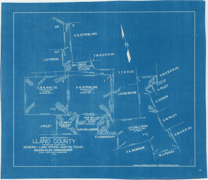
Llano County Working Sketch 15
87372, Llano County Working Sketch 15, General Map Collection
Print $20.00 - Digital $50.00

Llano County Working Sketch 15

2007

  • Size

    46.0 x 26.2 inches

  • Map/Doc

    87372

  • Creation Date

    2007

Blanco County Working Sketch 45
88609, Blanco County Working Sketch 45, General Map Collection
Print $6.00 - Digital $50.00

Blanco County Working Sketch 45

2007

  • Size

    23.9 x 34.0 inches

  • Map/Doc

    88609

  • Creation Date

    2007

Gillespie County Rolled Sketch 4
6011, Gillespie County Rolled Sketch 4, General Map Collection
Print $20.00 - Digital $50.00

Gillespie County Rolled Sketch 4

1994

  • Size

    23.3 x 27.1 inches

  • Map/Doc

    6011

  • Creation Date

    1994

Gillespie County Rolled Sketch 2
6009, Gillespie County Rolled Sketch 2, General Map Collection
Print $20.00 - Digital $50.00

Gillespie County Rolled Sketch 2

1977

  • Size

    22.8 x 22.7 inches

  • Map/Doc

    6009

  • Creation Date

    1977

Llano County Rolled Sketch 1
9458, Llano County Rolled Sketch 1, General Map Collection
Print $20.00 - Digital $50.00

Llano County Rolled Sketch 1

1961

  • Size

    43.9 x 30.3 inches

  • Map/Doc

    9458

  • Creation Date

    1961

Llano County Sketch File 19
30397, Llano County Sketch File 19, General Map Collection
Print $16.00 - Digital $50.00

Llano County Sketch File 19

1961

  • Size

    14.2 x 8.7 inches

  • Map/Doc

    30397

  • Creation Date

    1961

General Highway Map, Llano County, Texas
79576, General Highway Map, Llano County, Texas, Texas State Library and Archives
Print $20.00

General Highway Map, Llano County, Texas

1961

  • Size

    18.2 x 24.6 inches

  • Map/Doc

    79576

  • Creation Date

    1961

General Highway Map Llano County Texas
92883, General Highway Map Llano County Texas, Twichell Survey Records
Print $20.00 - Digital $50.00

General Highway Map Llano County Texas

1953

  • Size

    17.1 x 12.5 inches

  • Map/Doc

    92883

  • Creation Date

    1953

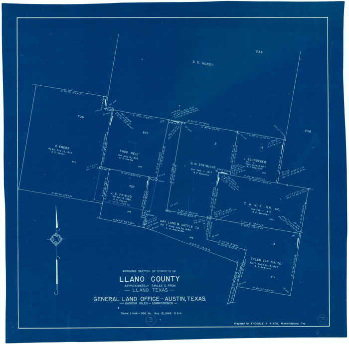
Llano County Sketch File 18
12013, Llano County Sketch File 18, General Map Collection
Print $20.00 - Digital $50.00

Llano County Sketch File 18

1949

  • Size

    22.3 x 20.0 inches

  • Map/Doc

    12013

  • Creation Date

    1949

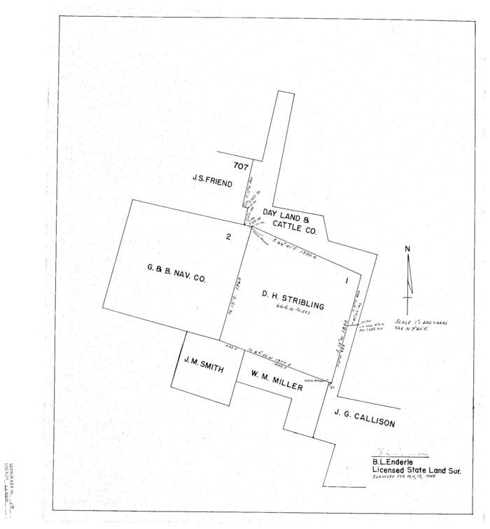
Llano County Sketch File 17
12012, Llano County Sketch File 17, General Map Collection
Print $20.00 - Digital $50.00

Llano County Sketch File 17

1949

  • Size

    21.8 x 20.2 inches

  • Map/Doc

    12012

  • Creation Date

    1949

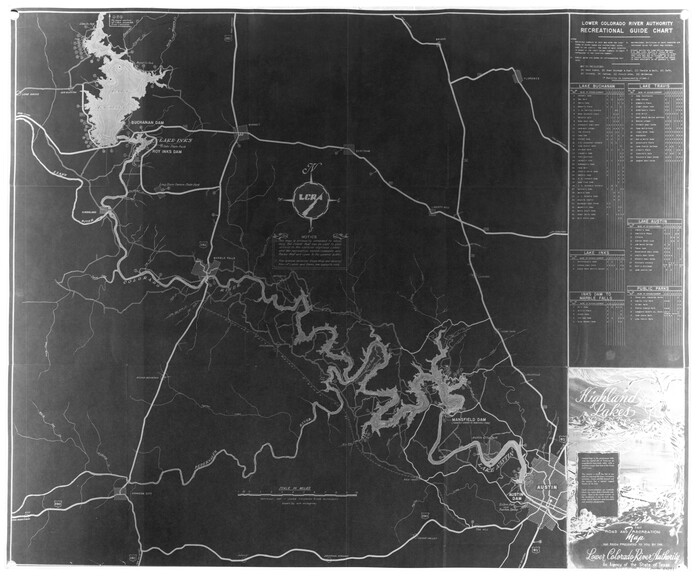
Highland Lakes of Central Texas
60291, Highland Lakes of Central Texas, General Map Collection
Print $20.00 - Digital $50.00

Highland Lakes of Central Texas

1947

  • Size

    18.2 x 21.9 inches

  • Map/Doc

    60291

  • Creation Date

    1947

Llano County
1885, Llano County, General Map Collection
Print $20.00 - Digital $50.00

Llano County

1943

  • Size

    44.2 x 42.8 inches

  • Map/Doc

    1885

  • Creation Date

    1943

Llano County
73224, Llano County, General Map Collection
Print $20.00 - Digital $50.00

Llano County

1943

  • Size

    44.1 x 42.6 inches

  • Map/Doc

    73224

  • Creation Date

    1943

Llano County Working Sketch Graphic Index
76624, Llano County Working Sketch Graphic Index, General Map Collection
Print $20.00 - Digital $50.00

Llano County Working Sketch Graphic Index

1943

  • Size

    43.7 x 42.6 inches

  • Map/Doc

    76624

  • Creation Date

    1943

Llano County
95574, Llano County, General Map Collection
Print $20.00 - Digital $50.00

Llano County

1943

  • Size

    45.5 x 44.2 inches

  • Map/Doc

    95574

  • Creation Date

    1943

Llano County
77357, Llano County, General Map Collection
Print $20.00 - Digital $50.00

Llano County

1943

  • Size

    42.4 x 40.9 inches

  • Map/Doc

    77357

  • Creation Date

    1943

General Highway Map, Llano County, Texas
79178, General Highway Map, Llano County, Texas, Texas State Library and Archives
Print $20.00

General Highway Map, Llano County, Texas

1940

  • Size

    18.4 x 24.9 inches

  • Map/Doc

    79178

  • Creation Date

    1940

Burnet County Sketch File 36
11025, Burnet County Sketch File 36, General Map Collection
Print $60.00 - Digital $50.00

Burnet County Sketch File 36

1935

  • Size

    25.7 x 17.6 inches

  • Map/Doc

    11025

  • Creation Date

    1935

Burnet County Sketch File 37
16754, Burnet County Sketch File 37, General Map Collection
Print $2.00 - Digital $50.00

Burnet County Sketch File 37

1935

  • Size

    10.1 x 8.2 inches

  • Map/Doc

    16754

  • Creation Date

    1935

Lake Buchanan, Burnet and Llano Counties, Texas
3136, Lake Buchanan, Burnet and Llano Counties, Texas, General Map Collection
Print $20.00 - Digital $50.00

Lake Buchanan, Burnet and Llano Counties, Texas

1935

  • Size

    20.7 x 14.4 inches

  • Map/Doc

    3136

  • Creation Date

    1935

Mason County Sketch File 23
30723, Mason County Sketch File 23, General Map Collection
Print $42.00 - Digital $50.00

Mason County Sketch File 23

1932

  • Size

    11.2 x 8.8 inches

  • Map/Doc

    30723

  • Creation Date

    1932

Mason County Sketch File 22
30719, Mason County Sketch File 22, General Map Collection
Print $8.00 - Digital $50.00

Mason County Sketch File 22

1932

  • Size

    11.1 x 8.9 inches

  • Map/Doc

    30719

  • Creation Date

    1932

Mason County Sketch File 21A
12037, Mason County Sketch File 21A, General Map Collection
Print $20.00 - Digital $50.00

Mason County Sketch File 21A

1932

  • Size

    19.2 x 26.6 inches

  • Map/Doc

    12037

  • Creation Date

    1932

Water-Shed of the Colorado River
65261, Water-Shed of the Colorado River, General Map Collection
Print $40.00 - Digital $50.00

Water-Shed of the Colorado River

1925

  • Size

    37.1 x 79.8 inches

  • Map/Doc

    65261

  • Creation Date

    1925

Right of Way and Track Map Houston & Texas Central R.R. operated by the T. & N.O. R.R. Co., Austin Branch
64553, Right of Way and Track Map Houston & Texas Central R.R. operated by the T. & N.O. R.R. Co., Austin Branch, General Map Collection
Print $40.00 - Digital $50.00

Right of Way and Track Map Houston & Texas Central R.R. operated by the T. & N.O. R.R. Co., Austin Branch

1918

  • Size

    25.5 x 57.7 inches

  • Map/Doc

    64553

  • Creation Date

    1918

Right of Way and Track Map Houston & Texas Central R.R. operated by the T. & N.O. R.R. Co., Austin Branch
64554, Right of Way and Track Map Houston & Texas Central R.R. operated by the T. & N.O. R.R. Co., Austin Branch, General Map Collection
Print $40.00 - Digital $50.00

Right of Way and Track Map Houston & Texas Central R.R. operated by the T. & N.O. R.R. Co., Austin Branch

1918

  • Size

    25.8 x 58.2 inches

  • Map/Doc

    64554

  • Creation Date

    1918

Right of Way and Track Map Houston & Texas Central R.R. operated by the T. & N.O. R.R. Co., Austin Branch
64555, Right of Way and Track Map Houston & Texas Central R.R. operated by the T. & N.O. R.R. Co., Austin Branch, General Map Collection
Print $40.00 - Digital $50.00

Right of Way and Track Map Houston & Texas Central R.R. operated by the T. & N.O. R.R. Co., Austin Branch

1918

  • Size

    25.6 x 57.8 inches

  • Map/Doc

    64555

  • Creation Date

    1918

Right of Way and Track Map Houston & Texas Central R.R. operated by the T. & N.O. R.R. Co., Austin Branch
64556, Right of Way and Track Map Houston & Texas Central R.R. operated by the T. & N.O. R.R. Co., Austin Branch, General Map Collection
Print $40.00 - Digital $50.00

Right of Way and Track Map Houston & Texas Central R.R. operated by the T. & N.O. R.R. Co., Austin Branch

1918

  • Size

    26.0 x 58.4 inches

  • Map/Doc

    64556

  • Creation Date

    1918

Right of Way and Track Map Houston & Texas Central R.R. operated by the T. & N.O. R.R. Co., Austin Branch
64557, Right of Way and Track Map Houston & Texas Central R.R. operated by the T. & N.O. R.R. Co., Austin Branch, General Map Collection
Print $40.00 - Digital $50.00

Right of Way and Track Map Houston & Texas Central R.R. operated by the T. & N.O. R.R. Co., Austin Branch

1918

  • Size

    26.0 x 57.9 inches

  • Map/Doc

    64557

  • Creation Date

    1918