
Matagorda County Rolled Sketch 37A

Matagorda County Rolled Sketch 37C

Jackson County Sketch File 8
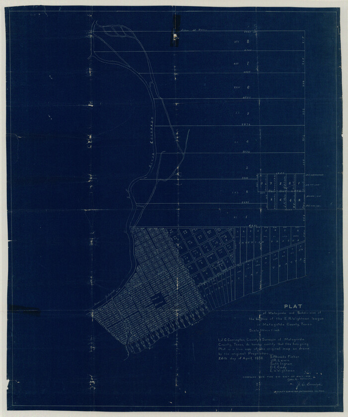
Matagorda County Sketch File 32
1918

Matagorda County Rolled Sketch 39
1973
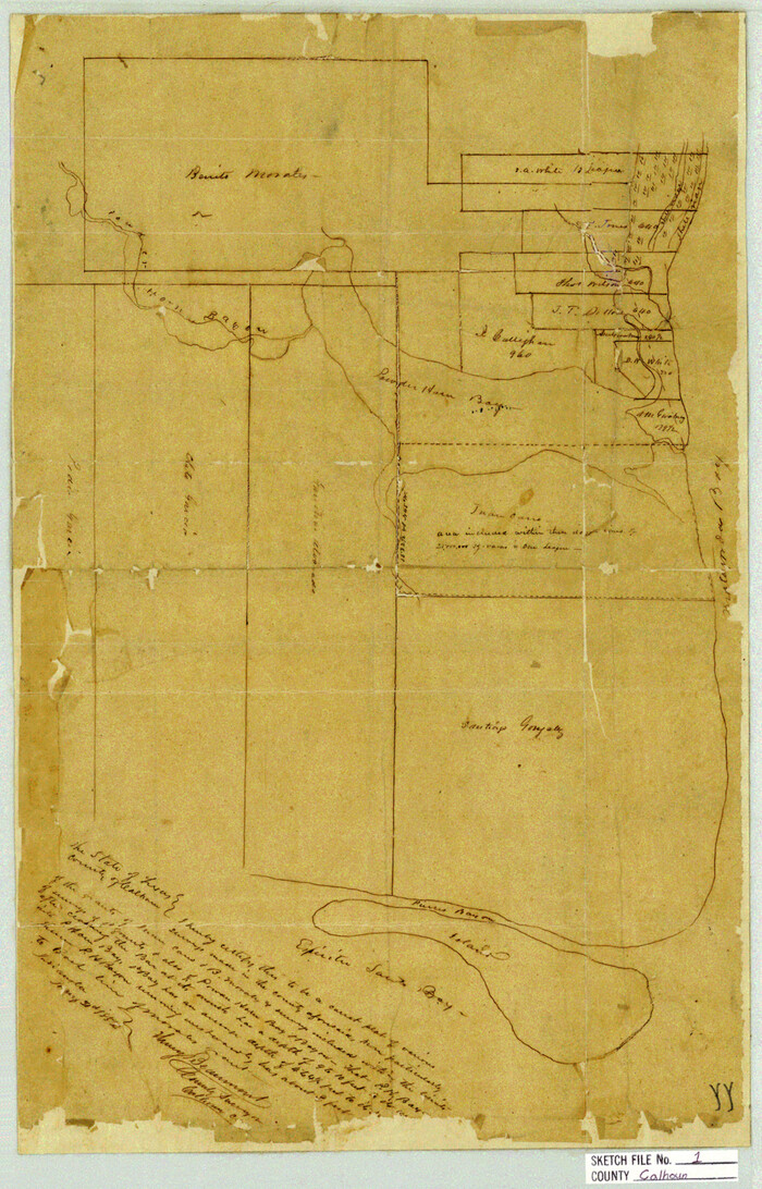
Calhoun County Sketch File 1
1855
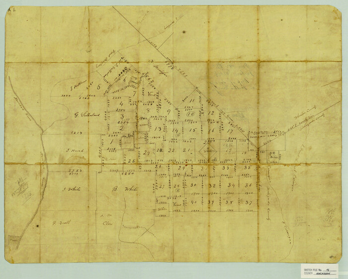
Jackson County Sketch File 4
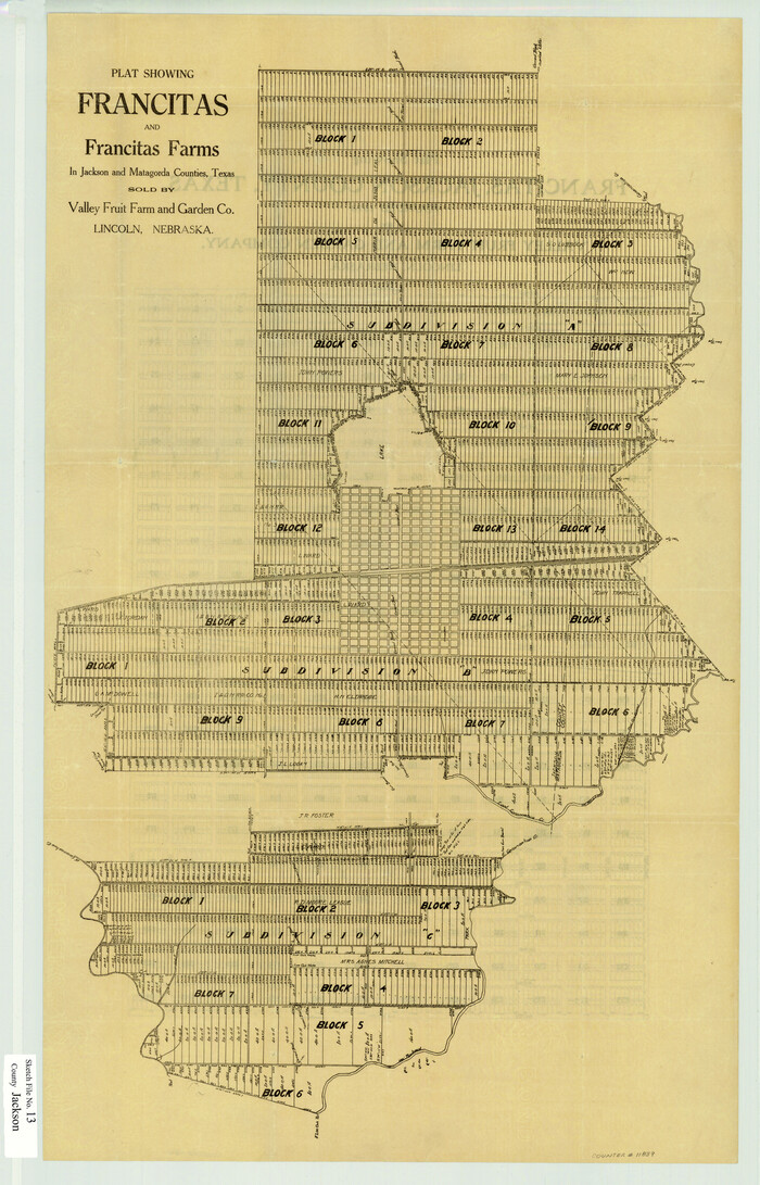
Jackson County Sketch File 13
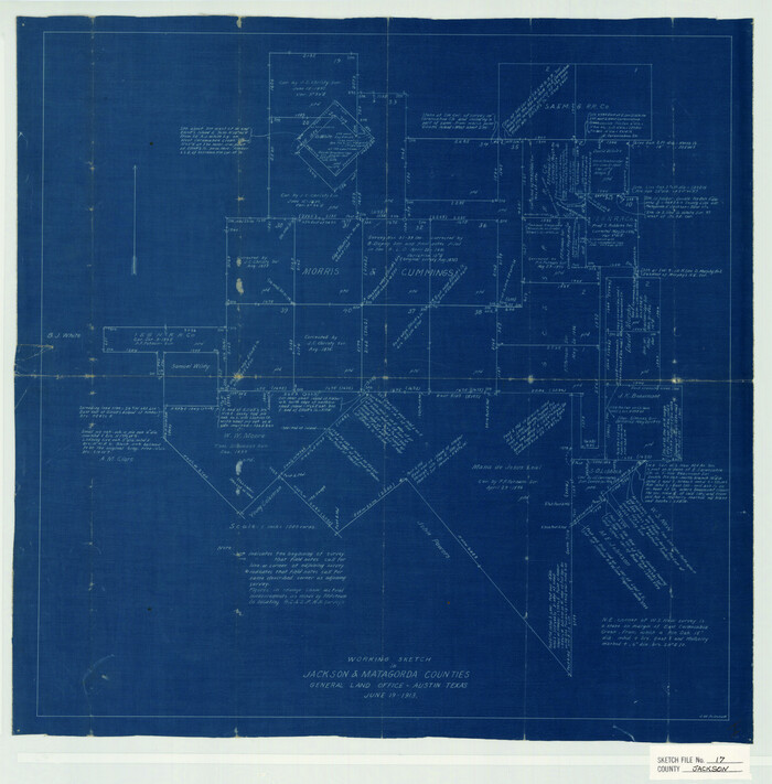
Jackson County Sketch File 17
1913
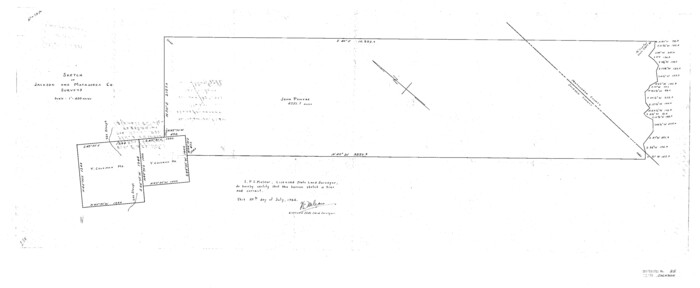
Jackson County Sketch File 25
1942
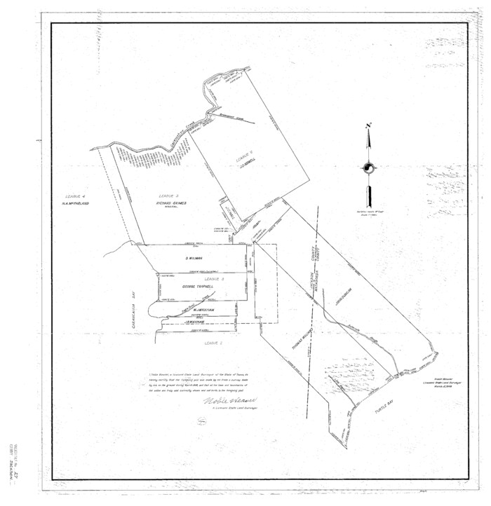
Jackson County Sketch File 27
1938
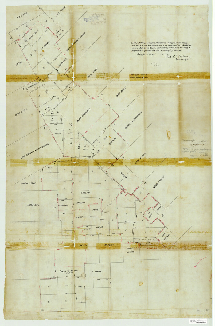
Matagorda County Sketch File 7
1890
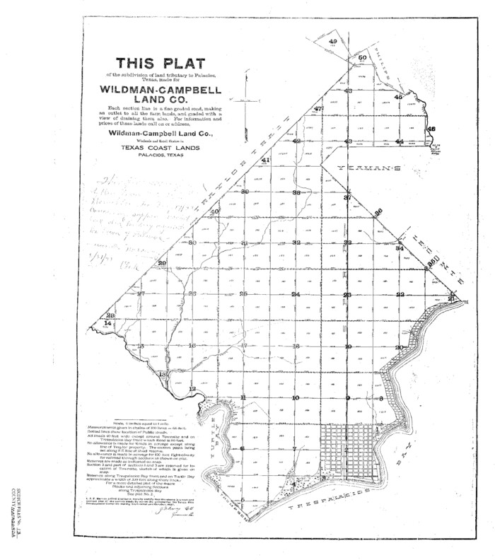
Matagorda County Sketch File 13
1902
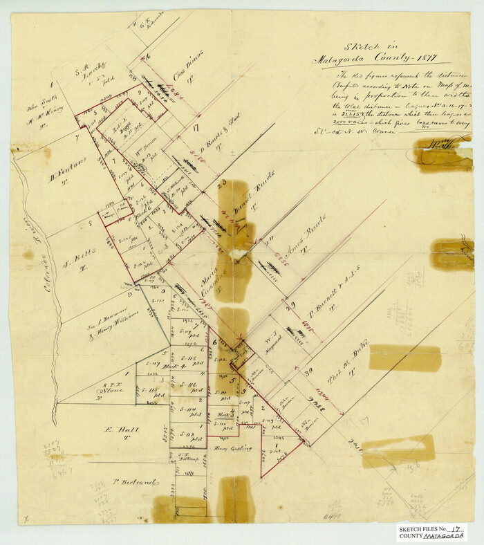
Matagorda County Sketch File 17
1877
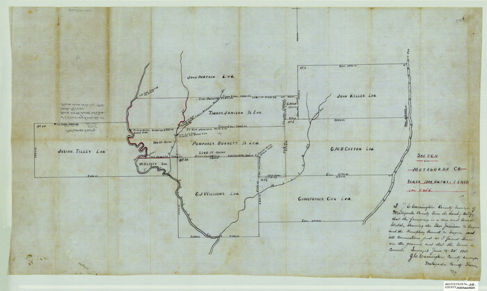
Matagorda County Sketch File 25
1903
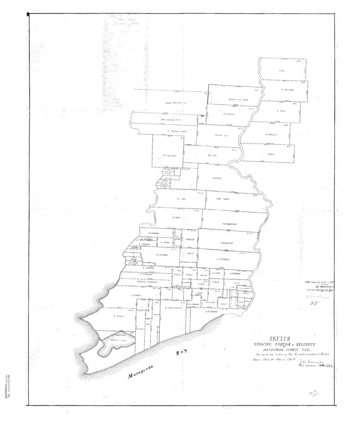
Matagorda County Sketch File 29
1909
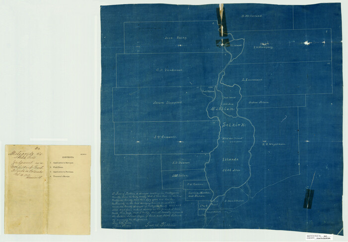
Matagorda County Sketch File 30
1911

Matagorda County Sketch File 38
1904

Matagorda County Sketch File 39
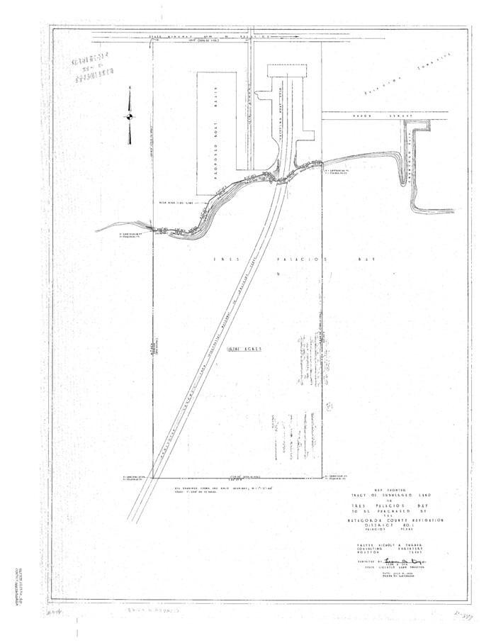
Matagorda County Sketch File 40
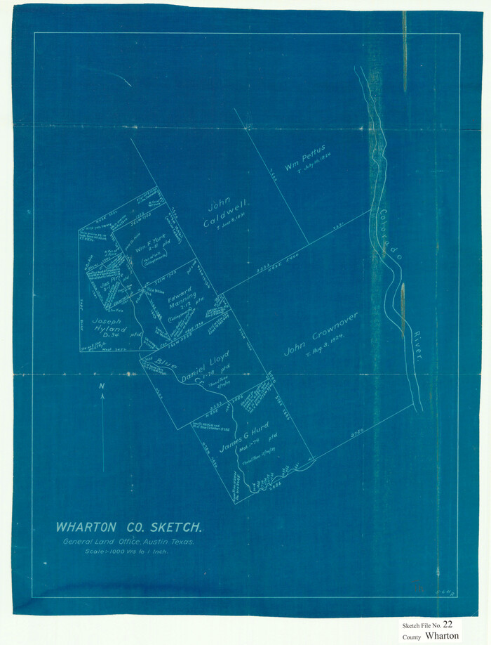
Wharton County Sketch File 22
1911
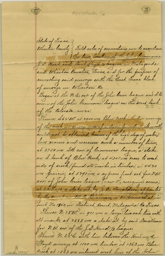
Wharton County Sketch File A3
1899
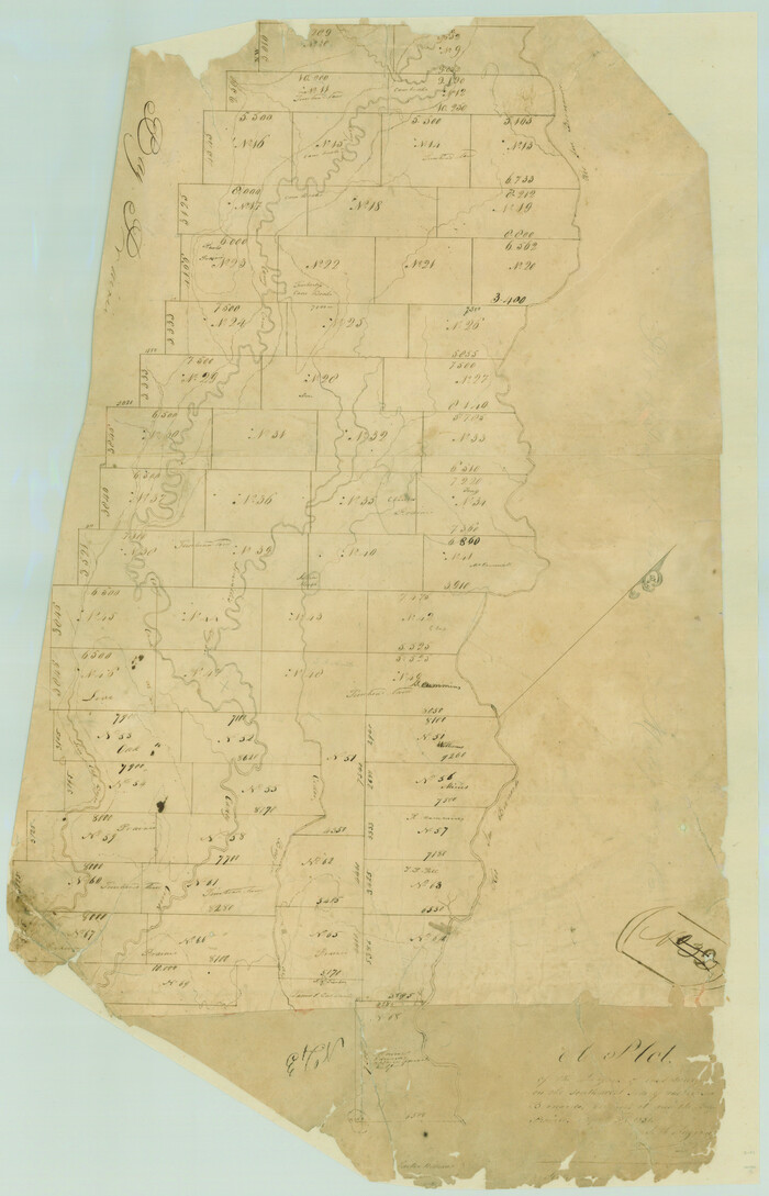
A Plat of the League of land surveyed on the south-west side of the Rio San Bernardo between it and the Bay-Prairie
1831
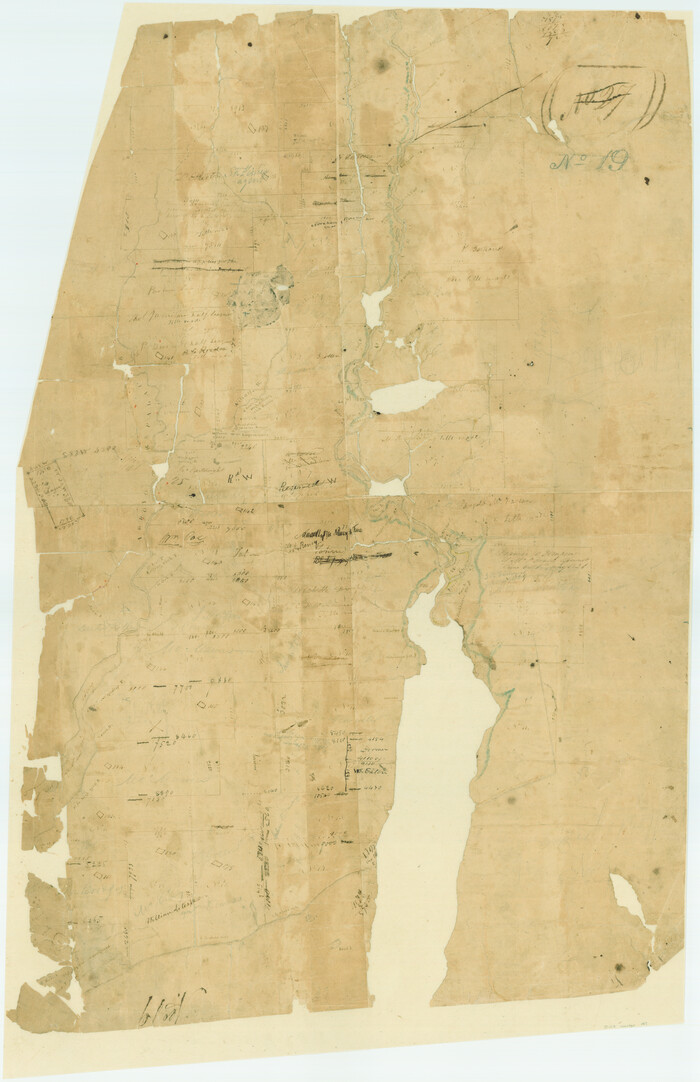
[Surveys in Austin's Colony at Matagorda Bay and along the Trespalacios and Colorado Rivers]
1821
Brazoria County Sketch File 38
1917
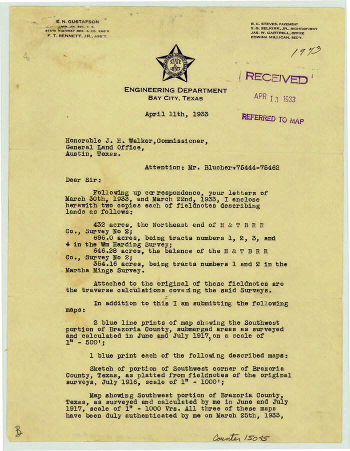
Brazoria County Sketch File 39
1933
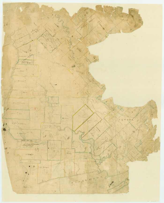
[Surveys in Austin's Colony on the east side of the Colorado River]
1830
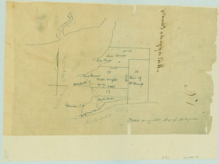
[Surveys on Trespalacios Bay]

Texas Gulf Coast, from the Sabine River to the Rio Grande as Subdivided for Mineral Development; Galveston, Brazoria and Matagorda Counties
1976

Texas Gulf Coast, from the Sabine River to the Rio Grande as Subdivided for Mineral Development; Matagorda, Calhoun and Aransas Counties
1976

Matagorda County Rolled Sketch 37A
-
Size
48.7 x 41.1 inches
-
Map/Doc
10195

Matagorda County Rolled Sketch 37C
-
Size
11.6 x 14.3 inches
-
Map/Doc
10197

Jackson County Sketch File 8
-
Size
30.5 x 35.7 inches
-
Map/Doc
10503

Matagorda County Sketch File 32
1918
-
Size
36.5 x 30.4 inches
-
Map/Doc
10531
-
Creation Date
1918

Matagorda County Rolled Sketch 39
1973
-
Size
24.4 x 114.0 inches
-
Map/Doc
10743
-
Creation Date
1973

Calhoun County Sketch File 1
1855
-
Size
17.1 x 11.0 inches
-
Map/Doc
11031
-
Creation Date
1855

Jackson County Sketch File 4
-
Size
18.2 x 22.7 inches
-
Map/Doc
11834

Jackson County Sketch File 13
-
Size
29.0 x 18.6 inches
-
Map/Doc
11839

Jackson County Sketch File 17
1913
-
Size
19.4 x 19.1 inches
-
Map/Doc
11841
-
Creation Date
1913

Jackson County Sketch File 25
1942
-
Size
15.4 x 37.4 inches
-
Map/Doc
11845
-
Creation Date
1942

Jackson County Sketch File 27
1938
-
Size
25.6 x 24.8 inches
-
Map/Doc
11847
-
Creation Date
1938

Matagorda County Sketch File 7
1890
-
Size
37.3 x 24.6 inches
-
Map/Doc
12038
-
Creation Date
1890

Matagorda County Sketch File 13
1902
-
Size
21.5 x 19.0 inches
-
Map/Doc
12039
-
Creation Date
1902

Matagorda County Sketch File 17
1877
-
Size
16.4 x 14.5 inches
-
Map/Doc
12040
-
Creation Date
1877

Matagorda County Sketch File 25
1903
-
Size
18.1 x 30.3 inches
-
Map/Doc
12041
-
Creation Date
1903

Matagorda County Sketch File 29
1909
-
Size
33.4 x 27.9 inches
-
Map/Doc
12044
-
Creation Date
1909

Matagorda County Sketch File 30
1911
-
Size
22.2 x 31.9 inches
-
Map/Doc
12045
-
Creation Date
1911

Matagorda County Sketch File 38
1904
-
Size
24.4 x 33.0 inches
-
Map/Doc
12046
-
Creation Date
1904

Matagorda County Sketch File 39
-
Size
31.1 x 24.3 inches
-
Map/Doc
12047

Matagorda County Sketch File 40
-
Size
33.0 x 25.5 inches
-
Map/Doc
12048

Wharton County Sketch File 22
1911
-
Size
20.1 x 15.4 inches
-
Map/Doc
12666
-
Creation Date
1911

Wharton County Sketch File A3
1899
-
Size
18.2 x 18.6 inches
-
Map/Doc
12671
-
Creation Date
1899

A Plat of the League of land surveyed on the south-west side of the Rio San Bernardo between it and the Bay-Prairie
1831
-
Size
37.3 x 24.0 inches
-
Map/Doc
13
-
Creation Date
1831
![147, [Surveys in Austin's Colony at Matagorda Bay and along the Trespalacios and Colorado Rivers], General Map Collection](https://historictexasmaps.com/wmedia_w700/maps/147.tif.jpg)
[Surveys in Austin's Colony at Matagorda Bay and along the Trespalacios and Colorado Rivers]
1821
-
Size
31.6 x 20.5 inches
-
Map/Doc
147
-
Creation Date
1821

Brazoria County Sketch File 38
1917
-
Size
17.1 x 14.5 inches
-
Map/Doc
15043
-
Creation Date
1917

Brazoria County Sketch File 39
1933
-
Size
11.3 x 8.8 inches
-
Map/Doc
15045
-
Creation Date
1933
![167, [Surveys in Austin's Colony on the east side of the Colorado River], General Map Collection](https://historictexasmaps.com/wmedia_w700/maps/167.tif.jpg)
[Surveys in Austin's Colony on the east side of the Colorado River]
1830
-
Size
30.9 x 25.1 inches
-
Map/Doc
167
-
Creation Date
1830
![19, [Surveys on Trespalacios Bay], General Map Collection](https://historictexasmaps.com/wmedia_w700/maps/19.tif.jpg)
[Surveys on Trespalacios Bay]
-
Size
7.2 x 9.6 inches
-
Map/Doc
19

Texas Gulf Coast, from the Sabine River to the Rio Grande as Subdivided for Mineral Development; Galveston, Brazoria and Matagorda Counties
1976
-
Size
43.8 x 69.3 inches
-
Map/Doc
1938
-
Creation Date
1976

Texas Gulf Coast, from the Sabine River to the Rio Grande as Subdivided for Mineral Development; Matagorda, Calhoun and Aransas Counties
1976
-
Size
43.0 x 90.9 inches
-
Map/Doc
1939
-
Creation Date
1976