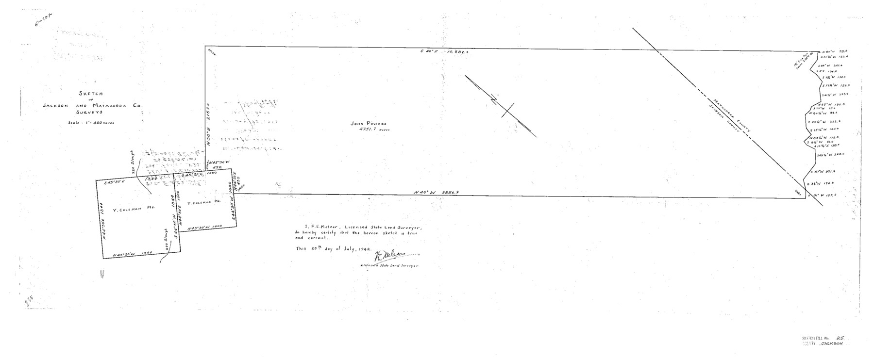
Jackson County Sketch File 25
Sketch of Jackson and Matagorda Co. Surveys
-
Map/Doc
11845
-
Collection
General Map Collection
-
Object Dates
7/22/1942 (Creation Date)
12/2/1975 (File Date)
7/20/1942 (Survey Date)
-
People and Organizations
F.E. Melear (Surveyor/Engineer)
-
Counties
Jackson Matagorda
-
Subjects
Surveying Sketch File
-
Height x Width
15.4 x 37.4 inches
39.1 x 95.0 cm
-
Medium
paper, print
-
Scale
1" = 400 varas
Part of: General Map Collection
Travis County Sketch File XYZ

Print $4.00
- Digital $50.00
Travis County Sketch File XYZ
Size 10.1 x 8.3 inches
Map/Doc 38352
Flight Mission No. DQN-7K, Frame 30, Calhoun County

Print $20.00
- Digital $50.00
Flight Mission No. DQN-7K, Frame 30, Calhoun County
1953
Size 18.6 x 22.1 inches
Map/Doc 84468
Hardin County Sketch File 58

Print $6.00
- Digital $50.00
Hardin County Sketch File 58
1929
Size 14.3 x 11.5 inches
Map/Doc 25230
Starr County Sketch File 32A

Print $26.00
- Digital $50.00
Starr County Sketch File 32A
1938
Size 14.2 x 8.6 inches
Map/Doc 36967
Palo Pinto County Working Sketch 9

Print $20.00
- Digital $50.00
Palo Pinto County Working Sketch 9
1922
Map/Doc 71392
Mason County Sketch File 14

Print $20.00
- Digital $50.00
Mason County Sketch File 14
1884
Size 15.2 x 16.4 inches
Map/Doc 12035
Matagorda County

Print $40.00
- Digital $50.00
Matagorda County
1920
Size 39.7 x 49.1 inches
Map/Doc 77368
Houston County Working Sketch 24

Print $40.00
- Digital $50.00
Houston County Working Sketch 24
1983
Size 43.9 x 77.2 inches
Map/Doc 66254
Spanish Province of Texas compiled from map on file among archives at Saltillo

Print $20.00
- Digital $50.00
Spanish Province of Texas compiled from map on file among archives at Saltillo
1897
Size 13.6 x 16.0 inches
Map/Doc 93412
Map of Webb County

Print $20.00
- Digital $50.00
Map of Webb County
1878
Size 37.0 x 26.0 inches
Map/Doc 4130
Flight Mission No. DQN-2K, Frame 189, Calhoun County

Print $20.00
- Digital $50.00
Flight Mission No. DQN-2K, Frame 189, Calhoun County
1953
Size 16.1 x 16.0 inches
Map/Doc 84330
Map of Galveston Harbor and City

Print $40.00
- Digital $50.00
Map of Galveston Harbor and City
1850
Size 31.0 x 52.0 inches
Map/Doc 69856
You may also like
Cooke County Working Sketch 5

Print $20.00
- Digital $50.00
Cooke County Working Sketch 5
1928
Size 16.1 x 17.2 inches
Map/Doc 68242
Flight Mission No. BQR-4K, Frame 58, Brazoria County

Print $20.00
- Digital $50.00
Flight Mission No. BQR-4K, Frame 58, Brazoria County
1952
Size 18.7 x 22.4 inches
Map/Doc 83991
The Republic County of Fayette. Created, December 14, 1837

Print $20.00
The Republic County of Fayette. Created, December 14, 1837
2020
Size 14.7 x 21.7 inches
Map/Doc 96131
Blanco County Working Sketch 17

Print $20.00
- Digital $50.00
Blanco County Working Sketch 17
1954
Size 31.6 x 30.3 inches
Map/Doc 67377
El Paso County Sketch File 25

Print $20.00
- Digital $50.00
El Paso County Sketch File 25
Size 18.5 x 22.3 inches
Map/Doc 11456
Calcasieu Pass to Sabine Pass

Print $20.00
- Digital $50.00
Calcasieu Pass to Sabine Pass
1976
Size 44.6 x 35.3 inches
Map/Doc 69813
Hutchinson County Sketch File 25

Print $6.00
- Digital $50.00
Hutchinson County Sketch File 25
1922
Size 11.2 x 8.8 inches
Map/Doc 27258
Flight Mission No. DQO-3K, Frame 38, Galveston County

Print $20.00
- Digital $50.00
Flight Mission No. DQO-3K, Frame 38, Galveston County
1952
Size 18.7 x 22.3 inches
Map/Doc 85079
Garza County Sketch File 25

Print $4.00
- Digital $50.00
Garza County Sketch File 25
1907
Size 7.6 x 7.9 inches
Map/Doc 24086

Gaines County Rolled Sketch 29

Print $20.00
- Digital $50.00
Gaines County Rolled Sketch 29
1990
Size 14.7 x 20.5 inches
Map/Doc 5942
Flight Mission No. DQO-1K, Frame 146, Galveston County

Print $20.00
- Digital $50.00
Flight Mission No. DQO-1K, Frame 146, Galveston County
1952
Size 18.9 x 22.5 inches
Map/Doc 84999