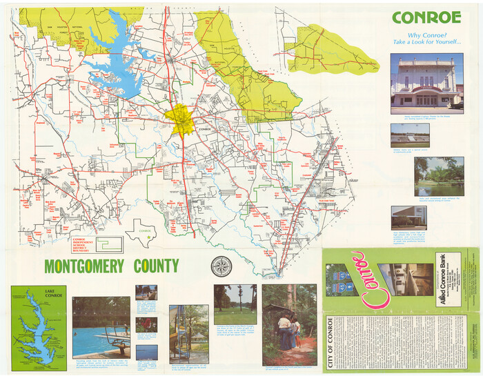
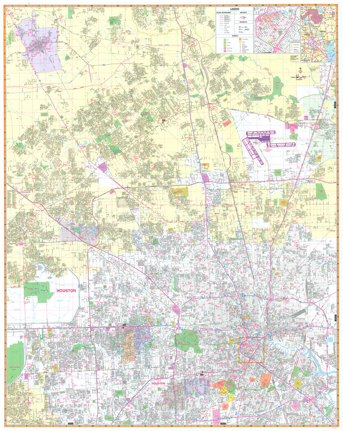
Atlas T - Titles to Frontier Settlers issued by the Commissioner Carlos S. Taylor


Atlas T - Titles to Frontier Settlers issued by the Commissioner Carlos S. Taylor
1834
94536
Caney Cr. of East San Jacinto


Print $2.00
- Digital $50.00
Caney Cr. of East San Jacinto
Size: 5.3 x 6.7 inches
69745
Central & Montgomery


Print $40.00
- Digital $50.00
Central & Montgomery
1941
Size: 25.6 x 122.2 inches
64522
Central & Montgomery


Print $40.00
- Digital $50.00
Central & Montgomery
1941
Size: 26.1 x 123.0 inches
64523
Central & Montgomery


Print $20.00
- Digital $50.00
Central & Montgomery
1941
Size: 24.9 x 24.2 inches
64524
English Field Notes of the Spanish Archives - Book 1


English Field Notes of the Spanish Archives - Book 1
1833
96527
English Field Notes of the Spanish Archives - Book 12


English Field Notes of the Spanish Archives - Book 12
1832
96538
English Field Notes of the Spanish Archives - Book 2


English Field Notes of the Spanish Archives - Book 2
1835
96528
English Field Notes of the Spanish Archives - Book 4 & W


English Field Notes of the Spanish Archives - Book 4 & W
1836
96530
English Field Notes of the Spanish Archives - Book 5


English Field Notes of the Spanish Archives - Book 5
1835
96531
English Field Notes of the Spanish Archives - Book 6


English Field Notes of the Spanish Archives - Book 6
1836
96532
English Field Notes of the Spanish Archives - Books DB3 & WR


English Field Notes of the Spanish Archives - Books DB3 & WR
1835
96548
English Field Notes of the Spanish Archives - Books R & MC


English Field Notes of the Spanish Archives - Books R & MC
1835
96552
General Highway Map, Montgomery County, Texas
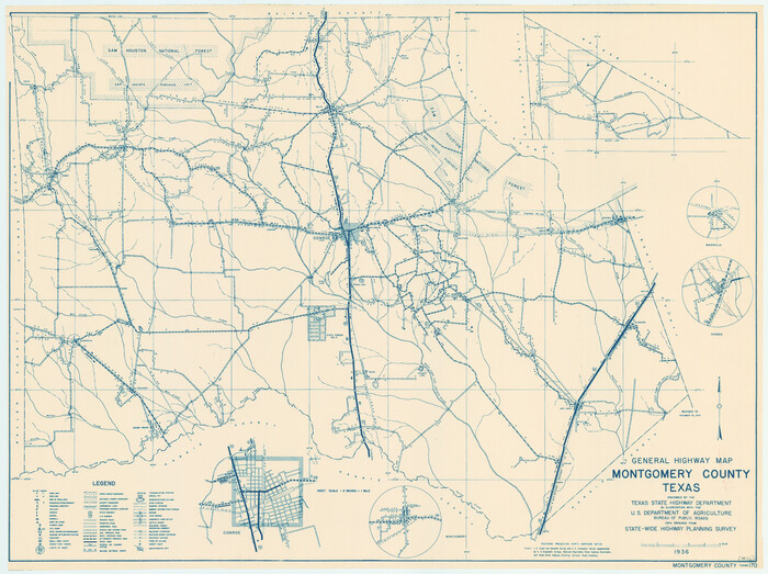

Print $20.00
General Highway Map, Montgomery County, Texas
1939
Size: 18.4 x 24.6 inches
79202
General Highway Map, Montgomery County, Texas
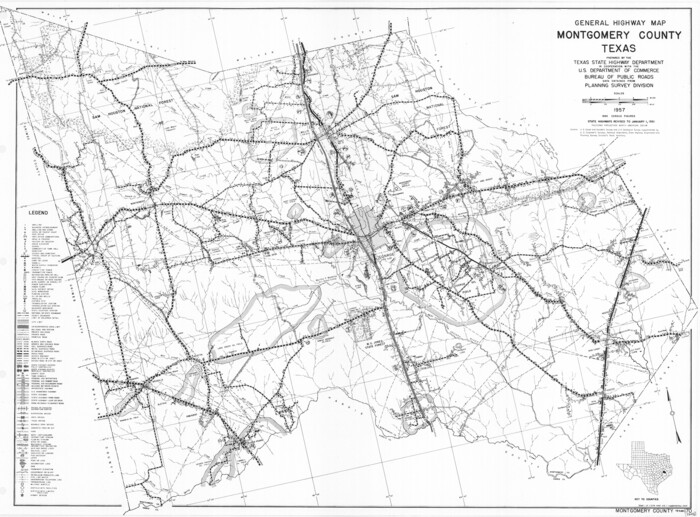

Print $20.00
General Highway Map, Montgomery County, Texas
1961
Size: 18.2 x 24.6 inches
79602
General Highway Map. Detail of Cities and Towns in Montgomery County, Texas
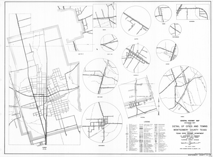

Print $20.00
General Highway Map. Detail of Cities and Towns in Montgomery County, Texas
1961
Size: 18.1 x 24.5 inches
79603
Grimes County Sketch File 3
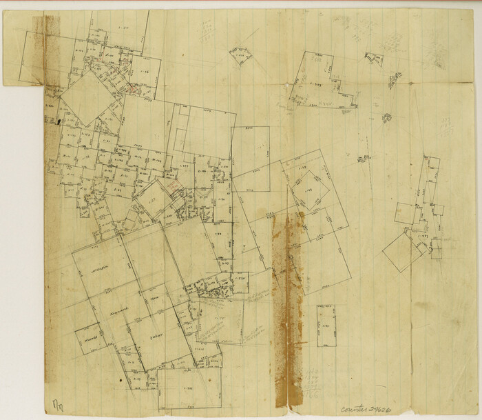

Print $20.00
- Digital $50.00
Grimes County Sketch File 3
1871
Size: 10.6 x 12.1 inches
24626
Grimes County Sketch File 4b
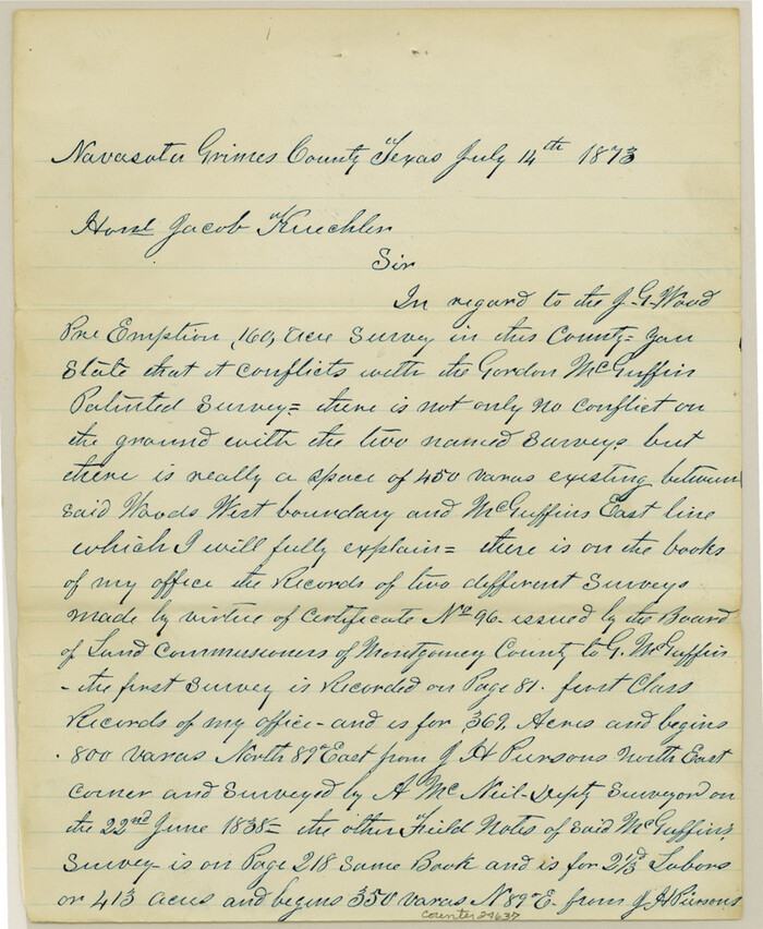

Print $10.00
- Digital $50.00
Grimes County Sketch File 4b
1873
Size: 10.2 x 8.4 inches
24637
Grimes County Working Sketch 1


Print $20.00
- Digital $50.00
Grimes County Working Sketch 1
1920
Size: 33.1 x 30.7 inches
63292
Harris County Sketch File 100
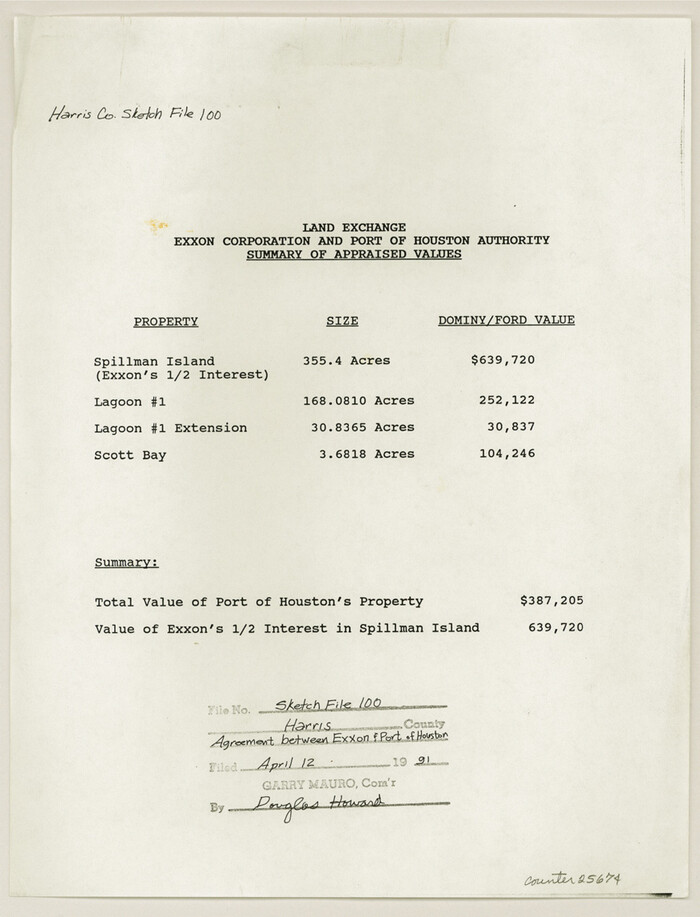

Print $518.00
- Digital $50.00
Harris County Sketch File 100
1991
Size: 11.5 x 8.8 inches
25674
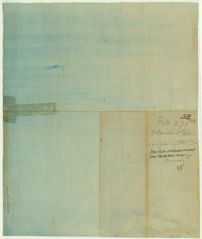
Harris County Sketch File 13

Print $40.00
- Digital $50.00
Harris County Sketch File 13
Size: 14.4 x 12.2 inches
25355
Harris County Working Sketch 5


Print $20.00
- Digital $50.00
Harris County Working Sketch 5
Size: 35.1 x 28.0 inches
65897
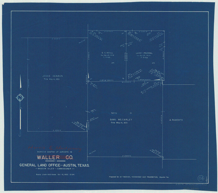
Harris County Working Sketch 54

Print $20.00
- Digital $50.00
Harris County Working Sketch 54
1950
Size: 21.3 x 24.1 inches
65946
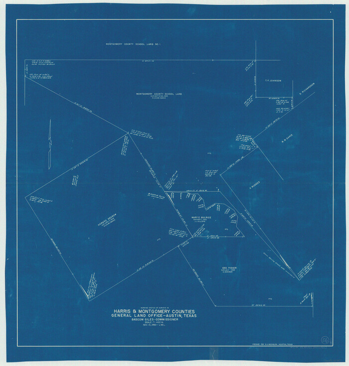
Harris County Working Sketch 56

Print $20.00
- Digital $50.00
Harris County Working Sketch 56
1950
Size: 33.2 x 31.6 inches
65948
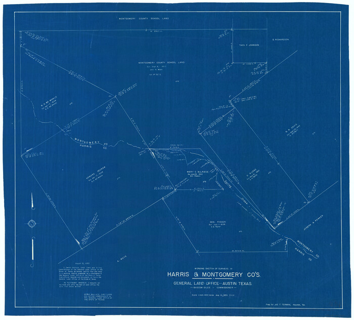
Harris County Working Sketch 60

Print $20.00
- Digital $50.00
Harris County Working Sketch 60
1953
Size: 31.8 x 35.2 inches
65952
Harris County Working Sketch 7


Print $20.00
- Digital $50.00
Harris County Working Sketch 7
1900
Size: 34.2 x 28.6 inches
65899
Atlas T - Titles to Frontier Settlers issued by the Commissioner Carlos S. Taylor


Atlas T - Titles to Frontier Settlers issued by the Commissioner Carlos S. Taylor
1834
-
Map/Doc
94536
-
Creation Date
1834
Caney Cr. of East San Jacinto


Print $2.00
- Digital $50.00
Caney Cr. of East San Jacinto
-
Size
5.3 x 6.7 inches
-
Map/Doc
69745
Central & Montgomery


Print $40.00
- Digital $50.00
Central & Montgomery
1941
-
Size
25.6 x 122.2 inches
-
Map/Doc
64522
-
Creation Date
1941
Central & Montgomery


Print $40.00
- Digital $50.00
Central & Montgomery
1941
-
Size
26.1 x 123.0 inches
-
Map/Doc
64523
-
Creation Date
1941
Central & Montgomery


Print $20.00
- Digital $50.00
Central & Montgomery
1941
-
Size
24.9 x 24.2 inches
-
Map/Doc
64524
-
Creation Date
1941
English Field Notes of the Spanish Archives - Book 1


English Field Notes of the Spanish Archives - Book 1
1833
-
Map/Doc
96527
-
Creation Date
1833
English Field Notes of the Spanish Archives - Book 12


English Field Notes of the Spanish Archives - Book 12
1832
-
Map/Doc
96538
-
Creation Date
1832
English Field Notes of the Spanish Archives - Book 2


English Field Notes of the Spanish Archives - Book 2
1835
-
Map/Doc
96528
-
Creation Date
1835
English Field Notes of the Spanish Archives - Book 4 & W


English Field Notes of the Spanish Archives - Book 4 & W
1836
-
Map/Doc
96530
-
Creation Date
1836
English Field Notes of the Spanish Archives - Book 5


English Field Notes of the Spanish Archives - Book 5
1835
-
Map/Doc
96531
-
Creation Date
1835
English Field Notes of the Spanish Archives - Book 6


English Field Notes of the Spanish Archives - Book 6
1836
-
Map/Doc
96532
-
Creation Date
1836
English Field Notes of the Spanish Archives - Books DB3 & WR


English Field Notes of the Spanish Archives - Books DB3 & WR
1835
-
Map/Doc
96548
-
Creation Date
1835
English Field Notes of the Spanish Archives - Books R & MC


English Field Notes of the Spanish Archives - Books R & MC
1835
-
Map/Doc
96552
-
Creation Date
1835
General Highway Map, Montgomery County, Texas


Print $20.00
General Highway Map, Montgomery County, Texas
1939
-
Size
18.4 x 24.6 inches
-
Map/Doc
79202
-
Creation Date
1939
General Highway Map, Montgomery County, Texas


Print $20.00
General Highway Map, Montgomery County, Texas
1961
-
Size
18.2 x 24.6 inches
-
Map/Doc
79602
-
Creation Date
1961
General Highway Map. Detail of Cities and Towns in Montgomery County, Texas


Print $20.00
General Highway Map. Detail of Cities and Towns in Montgomery County, Texas
1961
-
Size
18.1 x 24.5 inches
-
Map/Doc
79603
-
Creation Date
1961
Grimes County Sketch File 3


Print $20.00
- Digital $50.00
Grimes County Sketch File 3
1871
-
Size
10.6 x 12.1 inches
-
Map/Doc
24626
-
Creation Date
1871
Grimes County Sketch File 4b


Print $10.00
- Digital $50.00
Grimes County Sketch File 4b
1873
-
Size
10.2 x 8.4 inches
-
Map/Doc
24637
-
Creation Date
1873
Grimes County Working Sketch 1


Print $20.00
- Digital $50.00
Grimes County Working Sketch 1
1920
-
Size
33.1 x 30.7 inches
-
Map/Doc
63292
-
Creation Date
1920
Harris County Sketch File 100


Print $518.00
- Digital $50.00
Harris County Sketch File 100
1991
-
Size
11.5 x 8.8 inches
-
Map/Doc
25674
-
Creation Date
1991
Harris County Sketch File 13


Print $40.00
- Digital $50.00
Harris County Sketch File 13
-
Size
14.4 x 12.2 inches
-
Map/Doc
25355
Harris County Working Sketch 5


Print $20.00
- Digital $50.00
Harris County Working Sketch 5
-
Size
35.1 x 28.0 inches
-
Map/Doc
65897
Harris County Working Sketch 54


Print $20.00
- Digital $50.00
Harris County Working Sketch 54
1950
-
Size
21.3 x 24.1 inches
-
Map/Doc
65946
-
Creation Date
1950
Harris County Working Sketch 56


Print $20.00
- Digital $50.00
Harris County Working Sketch 56
1950
-
Size
33.2 x 31.6 inches
-
Map/Doc
65948
-
Creation Date
1950
Harris County Working Sketch 60


Print $20.00
- Digital $50.00
Harris County Working Sketch 60
1953
-
Size
31.8 x 35.2 inches
-
Map/Doc
65952
-
Creation Date
1953
Harris County Working Sketch 7


Print $20.00
- Digital $50.00
Harris County Working Sketch 7
1900
-
Size
34.2 x 28.6 inches
-
Map/Doc
65899
-
Creation Date
1900
