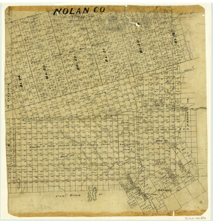
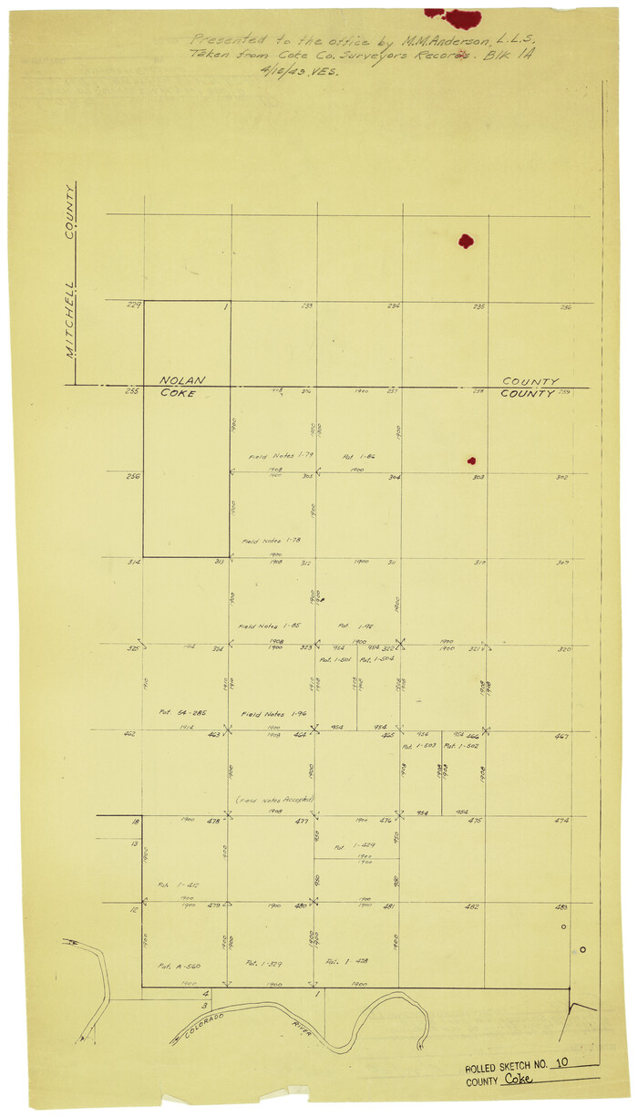
Coke County Rolled Sketch 10

Print $20.00
- Digital $50.00
Coke County Rolled Sketch 10
1949
Size: 25.3 x 15.0 inches
5509
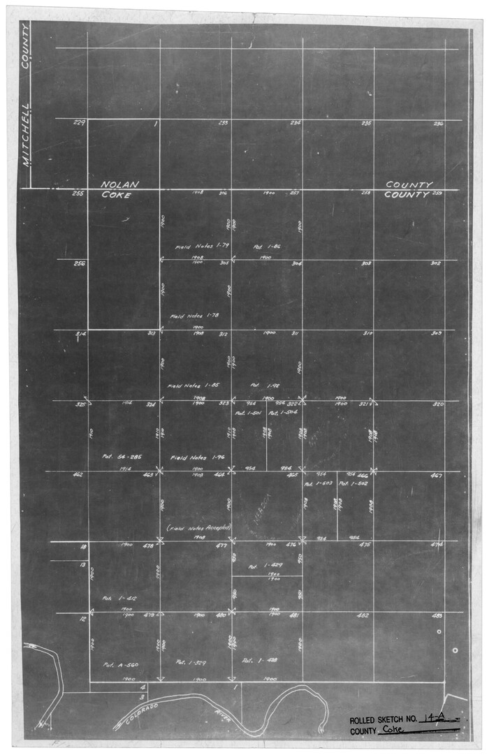
Coke County Rolled Sketch 14A

Print $20.00
- Digital $50.00
Coke County Rolled Sketch 14A
Size: 21.0 x 14.1 inches
5515
Coke County Sketch File 13


Print $40.00
- Digital $50.00
Coke County Sketch File 13
Size: 17.5 x 13.1 inches
18596
Coke County Sketch File 34


Print $20.00
- Digital $50.00
Coke County Sketch File 34
1888
Size: 17.2 x 21.7 inches
11116
Coke County Sketch File 4


Print $46.00
- Digital $50.00
Coke County Sketch File 4
1884
Size: 9.2 x 7.7 inches
18566
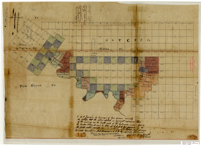
Coke County Sketch File 8

Print $20.00
- Digital $50.00
Coke County Sketch File 8
Size: 20.2 x 27.8 inches
11106
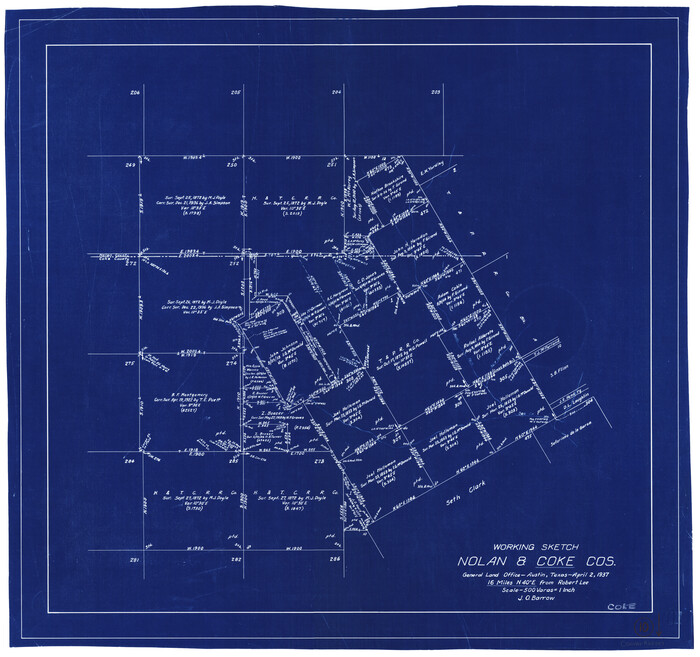
Coke County Working Sketch 10

Print $20.00
- Digital $50.00
Coke County Working Sketch 10
1937
Size: 25.1 x 26.7 inches
68047
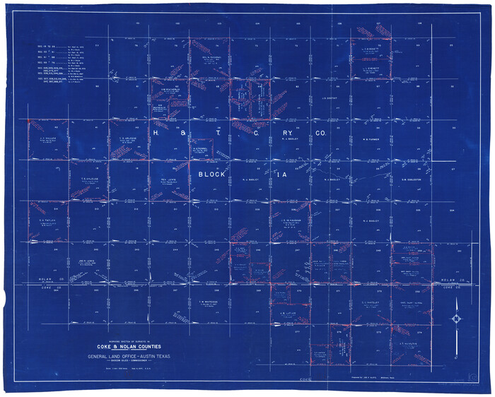
Coke County Working Sketch 12

Print $20.00
- Digital $50.00
Coke County Working Sketch 12
1947
Size: 36.7 x 45.6 inches
68049
Fisher County Sketch File 10


Print $20.00
- Digital $50.00
Fisher County Sketch File 10
Size: 9.7 x 37.0 inches
11477
General Highway Map, Nolan County, Texas


Print $20.00
General Highway Map, Nolan County, Texas
1940
Size: 18.4 x 24.7 inches
79208
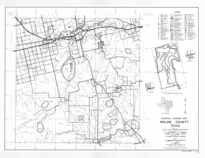
General Highway Map, Nolan County, Texas

Print $20.00
General Highway Map, Nolan County, Texas
1961
Size: 19.3 x 25.0 inches
79614
Jones County Sketch File 11a


Print $40.00
- Digital $50.00
Jones County Sketch File 11a
Size: 37.5 x 49.5 inches
10510
Map of Nolan County


Print $20.00
- Digital $50.00
Map of Nolan County
1902
Size: 45.9 x 38.4 inches
16780
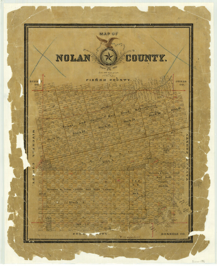
Map of Nolan County

Print $20.00
- Digital $50.00
Map of Nolan County
1896
Size: 28.8 x 23.5 inches
3915
Map of Nolan County


Print $20.00
- Digital $50.00
Map of Nolan County
1902
Size: 47.4 x 37.5 inches
5021
Map of Nolan County, Texas
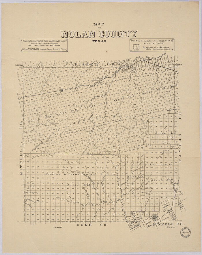

Print $20.00
Map of Nolan County, Texas
1890
Size: 24.4 x 19.3 inches
88984
Map of Runnels County, Texas


Print $20.00
- Digital $50.00
Map of Runnels County, Texas
1879
Size: 28.7 x 22.5 inches
604
Map of the Texas & Pacific Railway from Fort Worth to El Paso


Print $40.00
- Digital $50.00
Map of the Texas & Pacific Railway from Fort Worth to El Paso
Size: 24.0 x 76.5 inches
64511
Mitchell County Sketch File 5


Print $20.00
- Digital $50.00
Mitchell County Sketch File 5
1906
Size: 17.5 x 22.2 inches
12095
Mitchell County Sketch File 7
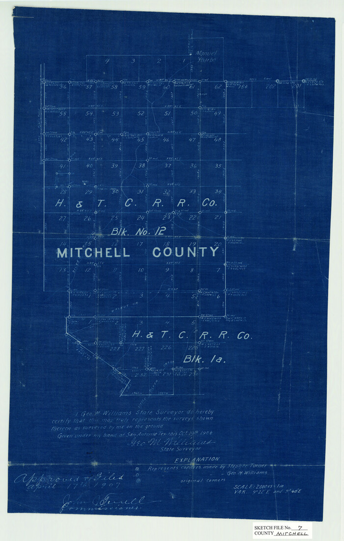

Print $20.00
- Digital $50.00
Mitchell County Sketch File 7
1906
Size: 19.4 x 12.4 inches
12096
Mitchell County Sketch File 7A


Print $20.00
- Digital $50.00
Mitchell County Sketch File 7A
1906
Size: 20.4 x 14.0 inches
12097
Mitchell County Working Sketch 5


Print $40.00
- Digital $50.00
Mitchell County Working Sketch 5
1956
Size: 60.4 x 28.2 inches
71062
Nolan County Boundary File 1

Print $60.00
- Digital $50.00
Nolan County Boundary File 1
Size: 8.8 x 3.9 inches
57617
Coke County Rolled Sketch 10


Print $20.00
- Digital $50.00
Coke County Rolled Sketch 10
1949
-
Size
25.3 x 15.0 inches
-
Map/Doc
5509
-
Creation Date
1949
Coke County Rolled Sketch 14A


Print $20.00
- Digital $50.00
Coke County Rolled Sketch 14A
-
Size
21.0 x 14.1 inches
-
Map/Doc
5515
Coke County Sketch File 13


Print $40.00
- Digital $50.00
Coke County Sketch File 13
-
Size
17.5 x 13.1 inches
-
Map/Doc
18596
Coke County Sketch File 34


Print $20.00
- Digital $50.00
Coke County Sketch File 34
1888
-
Size
17.2 x 21.7 inches
-
Map/Doc
11116
-
Creation Date
1888
Coke County Sketch File 4


Print $46.00
- Digital $50.00
Coke County Sketch File 4
1884
-
Size
9.2 x 7.7 inches
-
Map/Doc
18566
-
Creation Date
1884
Coke County Sketch File 8


Print $20.00
- Digital $50.00
Coke County Sketch File 8
-
Size
20.2 x 27.8 inches
-
Map/Doc
11106
Coke County Working Sketch 10


Print $20.00
- Digital $50.00
Coke County Working Sketch 10
1937
-
Size
25.1 x 26.7 inches
-
Map/Doc
68047
-
Creation Date
1937
Coke County Working Sketch 12


Print $20.00
- Digital $50.00
Coke County Working Sketch 12
1947
-
Size
36.7 x 45.6 inches
-
Map/Doc
68049
-
Creation Date
1947
Fisher County
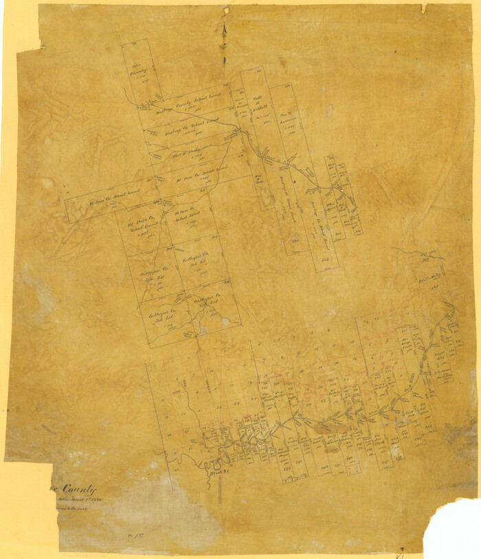

Print $20.00
- Digital $50.00
Fisher County
1880
-
Size
29.4 x 25.3 inches
-
Map/Doc
75772
-
Creation Date
1880
Fisher County Sketch File 10


Print $20.00
- Digital $50.00
Fisher County Sketch File 10
-
Size
9.7 x 37.0 inches
-
Map/Doc
11477
General Highway Map, Nolan County, Texas


Print $20.00
General Highway Map, Nolan County, Texas
1940
-
Size
18.4 x 24.7 inches
-
Map/Doc
79208
-
Creation Date
1940
General Highway Map, Nolan County, Texas


Print $20.00
General Highway Map, Nolan County, Texas
1961
-
Size
19.3 x 25.0 inches
-
Map/Doc
79614
-
Creation Date
1961
Jones County Sketch File 11a


Print $40.00
- Digital $50.00
Jones County Sketch File 11a
-
Size
37.5 x 49.5 inches
-
Map/Doc
10510
Map of Nolan County


Print $20.00
- Digital $50.00
Map of Nolan County
1902
-
Size
45.9 x 38.4 inches
-
Map/Doc
16780
-
Creation Date
1902
Map of Nolan County


Print $20.00
- Digital $50.00
Map of Nolan County
1896
-
Size
28.8 x 23.5 inches
-
Map/Doc
3915
-
Creation Date
1896
Map of Nolan County


Print $20.00
- Digital $50.00
Map of Nolan County
1902
-
Size
47.4 x 37.5 inches
-
Map/Doc
5021
-
Creation Date
1902
Map of Nolan County, Texas


Print $20.00
Map of Nolan County, Texas
1890
-
Size
24.4 x 19.3 inches
-
Map/Doc
88984
-
Creation Date
1890
Map of Runnels County, Texas


Print $20.00
- Digital $50.00
Map of Runnels County, Texas
1879
-
Size
28.7 x 22.5 inches
-
Map/Doc
604
-
Creation Date
1879
Map of the Texas & Pacific Railway from Fort Worth to El Paso


Print $40.00
- Digital $50.00
Map of the Texas & Pacific Railway from Fort Worth to El Paso
-
Size
24.0 x 76.5 inches
-
Map/Doc
64511
Mitchell County Sketch File 5


Print $20.00
- Digital $50.00
Mitchell County Sketch File 5
1906
-
Size
17.5 x 22.2 inches
-
Map/Doc
12095
-
Creation Date
1906
Mitchell County Sketch File 7


Print $20.00
- Digital $50.00
Mitchell County Sketch File 7
1906
-
Size
19.4 x 12.4 inches
-
Map/Doc
12096
-
Creation Date
1906
Mitchell County Sketch File 7A


Print $20.00
- Digital $50.00
Mitchell County Sketch File 7A
1906
-
Size
20.4 x 14.0 inches
-
Map/Doc
12097
-
Creation Date
1906
Mitchell County Working Sketch 5


Print $40.00
- Digital $50.00
Mitchell County Working Sketch 5
1956
-
Size
60.4 x 28.2 inches
-
Map/Doc
71062
-
Creation Date
1956
Nolan County


Print $20.00
- Digital $50.00
Nolan County
1880
-
Size
25.9 x 20.1 inches
-
Map/Doc
3917
-
Creation Date
1880
Nolan County


Print $20.00
- Digital $50.00
Nolan County
1935
-
Size
44.4 x 38.0 inches
-
Map/Doc
66954
-
Creation Date
1935
Nolan County
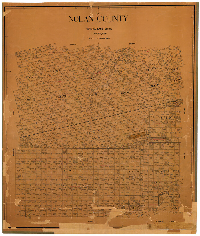

Print $20.00
- Digital $50.00
Nolan County
1935
-
Size
42.2 x 36.4 inches
-
Map/Doc
73251
-
Creation Date
1935
Nolan County
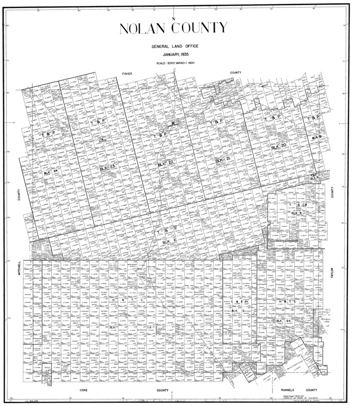

Print $20.00
- Digital $50.00
Nolan County
1935
-
Size
41.0 x 35.5 inches
-
Map/Doc
77384
-
Creation Date
1935
Nolan County
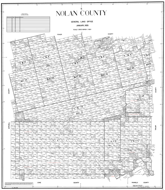

Print $20.00
- Digital $50.00
Nolan County
1935
-
Size
42.6 x 36.2 inches
-
Map/Doc
95601
-
Creation Date
1935
Nolan County Boundary File 1


Print $60.00
- Digital $50.00
Nolan County Boundary File 1
-
Size
8.8 x 3.9 inches
-
Map/Doc
57617
