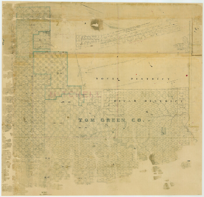
[Tom Green County]

Print $20.00
- Digital $50.00
[Tom Green County]
1888
Size: 33.2 x 34.4 inches
16901
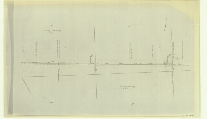
[Right of Way & Track Map, The Texas & Pacific Ry. Co. Main Line]

Print $20.00
- Digital $50.00
[Right of Way & Track Map, The Texas & Pacific Ry. Co. Main Line]
Size: 11.0 x 19.0 inches
64686
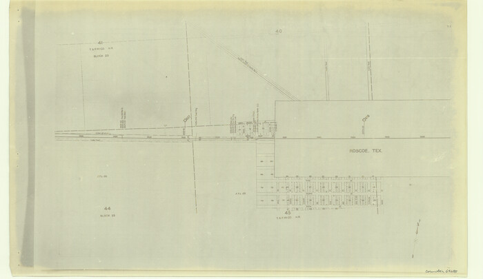
[Right of Way & Track Map, The Texas & Pacific Ry. Co. Main Line]

Print $20.00
- Digital $50.00
[Right of Way & Track Map, The Texas & Pacific Ry. Co. Main Line]
Size: 11.0 x 19.0 inches
64688
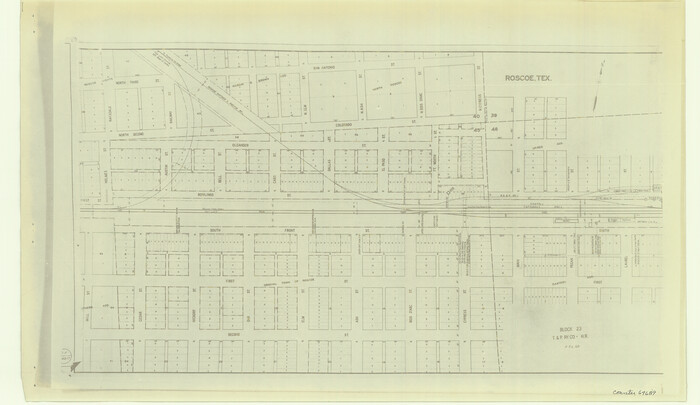
[Right of Way & Track Map, The Texas & Pacific Ry. Co. Main Line]

Print $20.00
- Digital $50.00
[Right of Way & Track Map, The Texas & Pacific Ry. Co. Main Line]
Size: 11.0 x 19.0 inches
64689
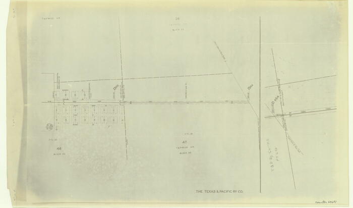
[Right of Way & Track Map, The Texas & Pacific Ry. Co. Main Line]

Print $20.00
- Digital $50.00
[Right of Way & Track Map, The Texas & Pacific Ry. Co. Main Line]
Size: 10.9 x 18.6 inches
64691
[Plat No. 1, Connecting line from SW corner of Jones Co. to SE corner of Borden Co.]


Print $40.00
- Digital $50.00
[Plat No. 1, Connecting line from SW corner of Jones Co. to SE corner of Borden Co.]
1908
Size: 18.1 x 128.8 inches
1698
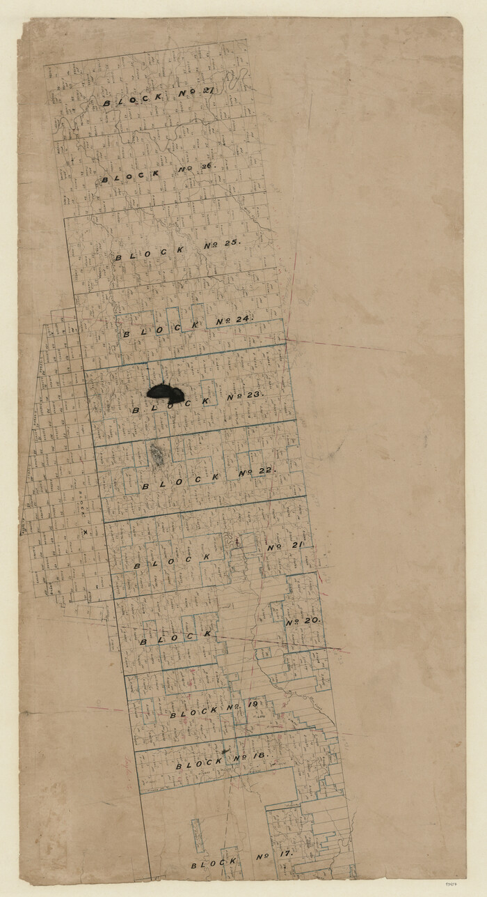
[Map of Texas and Pacific Blocks from Brazos River westward through Palo Pinto, Stephens, Shackelford, Jones, Callahan, Taylor, Fisher, Nolan and Mitchell Counties]

Print $20.00
- Digital $50.00
[Map of Texas and Pacific Blocks from Brazos River westward through Palo Pinto, Stephens, Shackelford, Jones, Callahan, Taylor, Fisher, Nolan and Mitchell Counties]
Size: 35.0 x 19.3 inches
93457
[Map of Texas and Pacific Blocks from Brazos River westward through Palo Pinto, Stephens, Shackelford, Jones, Callahan, Taylor, Fisher, Nolan and Mitchell Counties]


Print $40.00
- Digital $50.00
[Map of Texas and Pacific Blocks from Brazos River westward through Palo Pinto, Stephens, Shackelford, Jones, Callahan, Taylor, Fisher, Nolan and Mitchell Counties]
Size: 87.1 x 18.8 inches
93460
Water-Shed of the Colorado River


Print $40.00
- Digital $50.00
Water-Shed of the Colorado River
1925
Size: 37.1 x 79.8 inches
65261
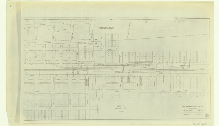
The Texas and Pacific Ry. Co., Station Map, Roscoe, Texas

Print $20.00
- Digital $50.00
The Texas and Pacific Ry. Co., Station Map, Roscoe, Texas
Size: 11.0 x 19.0 inches
64690
Taylor County Sketch File A


Print $2.00
- Digital $50.00
Taylor County Sketch File A
Size: 8.8 x 11.3 inches
37773
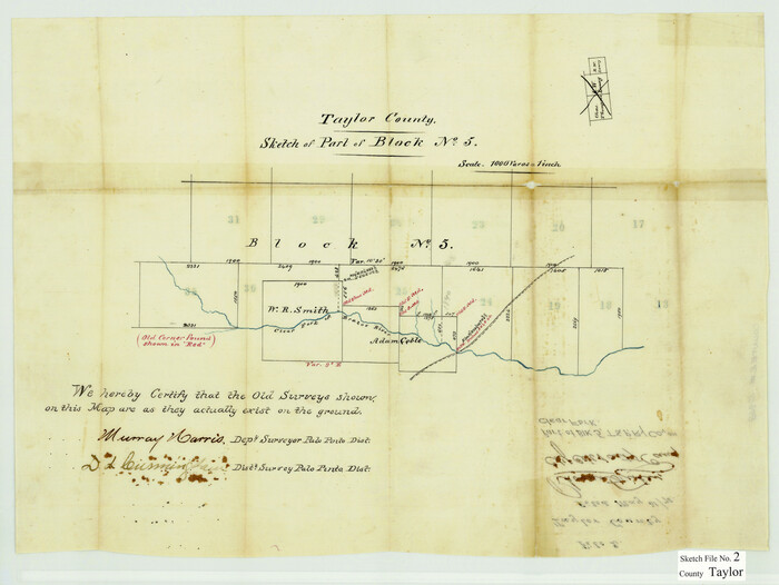
Taylor County Sketch File 2

Print $20.00
- Digital $50.00
Taylor County Sketch File 2
Size: 13.8 x 18.4 inches
12408
Taylor County Sketch File 1a
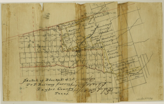

Print $4.00
- Digital $50.00
Taylor County Sketch File 1a
Size: 9.0 x 14.2 inches
37776
Taylor County Sketch File 19


Print $10.00
- Digital $50.00
Taylor County Sketch File 19
1945
Size: 14.2 x 8.8 inches
37816
Taylor County Sketch File 17


Print $40.00
- Digital $50.00
Taylor County Sketch File 17
Size: 14.5 x 17.7 inches
37811
Taylor County Sketch File 11
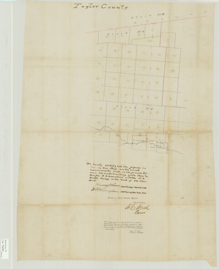

Print $20.00
- Digital $50.00
Taylor County Sketch File 11
Size: 34.8 x 28.3 inches
10384
Runnels County Working Sketch 4


Print $20.00
- Digital $50.00
Runnels County Working Sketch 4
1906
Size: 15.1 x 19.3 inches
63600
Runnels County Working Sketch 3


Print $20.00
- Digital $50.00
Runnels County Working Sketch 3
1888
Size: 22.1 x 20.3 inches
63599
Runnels County Working Sketch 11
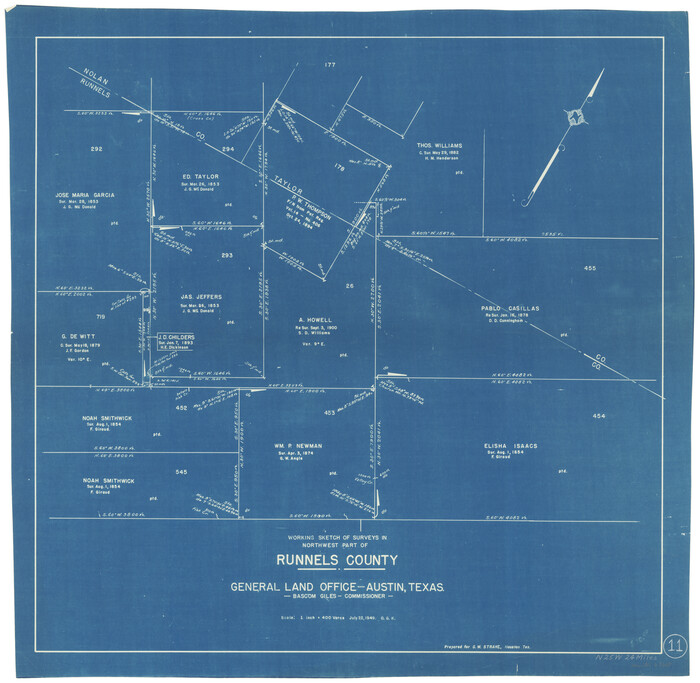

Print $20.00
- Digital $50.00
Runnels County Working Sketch 11
1949
Size: 24.6 x 25.2 inches
63607
Runnels County Sketch File 8


Print $40.00
Runnels County Sketch File 8
Size: 37.9 x 37.5 inches
10591
Runnels County Rolled Sketch 46
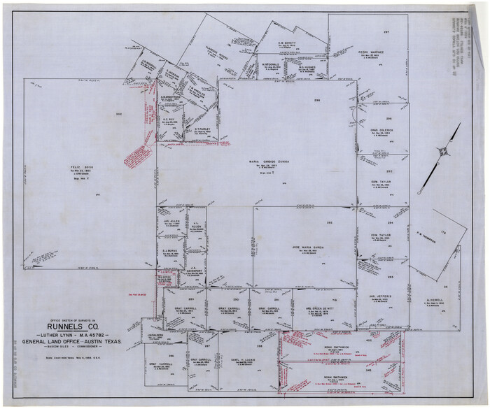

Print $20.00
- Digital $50.00
Runnels County Rolled Sketch 46
1954
Size: 32.3 x 38.5 inches
10622
Runnels County Rolled Sketch 46


Print $20.00
- Digital $50.00
Runnels County Rolled Sketch 46
1954
Size: 33.5 x 39.0 inches
9872
Runnels County Rolled Sketch 45


Print $20.00
- Digital $50.00
Runnels County Rolled Sketch 45
1954
Size: 32.1 x 41.0 inches
7532
Runnels County Rolled Sketch 35


Print $20.00
- Digital $50.00
Runnels County Rolled Sketch 35
1950
Size: 34.1 x 44.6 inches
7523
Right of Way & Track Map, The Texas & Pacific Ry. Co. Main Line


Print $20.00
- Digital $50.00
Right of Way & Track Map, The Texas & Pacific Ry. Co. Main Line
Size: 11.0 x 19.0 inches
64685
Right of Way & Track Map, The Texas & Pacific Ry. Co. Main Line
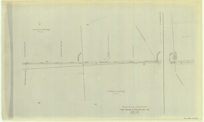

Print $20.00
- Digital $50.00
Right of Way & Track Map, The Texas & Pacific Ry. Co. Main Line
Size: 11.0 x 18.3 inches
64687
Nolan County, Texas


Print $20.00
- Digital $50.00
Nolan County, Texas
1880
Size: 29.5 x 22.7 inches
588
Nolan County, Texas


Print $20.00
- Digital $50.00
Nolan County, Texas
1870
Size: 23.9 x 19.5 inches
744
Nolan County Working Sketch Graphic Index


Print $20.00
- Digital $50.00
Nolan County Working Sketch Graphic Index
1935
Size: 41.6 x 36.9 inches
76654
Nolan County Working Sketch 9


Print $20.00
- Digital $50.00
Nolan County Working Sketch 9
1964
Size: 25.0 x 36.8 inches
71300
[Tom Green County]
![16901, [Tom Green County], General Map Collection](https://historictexasmaps.com/wmedia_w700/maps/16901.tif.jpg)
![16901, [Tom Green County], General Map Collection](https://historictexasmaps.com/wmedia_w700/maps/16901.tif.jpg)
Print $20.00
- Digital $50.00
[Tom Green County]
1888
-
Size
33.2 x 34.4 inches
-
Map/Doc
16901
-
Creation Date
1888
[Right of Way & Track Map, The Texas & Pacific Ry. Co. Main Line]
![64686, [Right of Way & Track Map, The Texas & Pacific Ry. Co. Main Line], General Map Collection](https://historictexasmaps.com/wmedia_w700/maps/64686.tif.jpg)
![64686, [Right of Way & Track Map, The Texas & Pacific Ry. Co. Main Line], General Map Collection](https://historictexasmaps.com/wmedia_w700/maps/64686.tif.jpg)
Print $20.00
- Digital $50.00
[Right of Way & Track Map, The Texas & Pacific Ry. Co. Main Line]
-
Size
11.0 x 19.0 inches
-
Map/Doc
64686
[Right of Way & Track Map, The Texas & Pacific Ry. Co. Main Line]
![64688, [Right of Way & Track Map, The Texas & Pacific Ry. Co. Main Line], General Map Collection](https://historictexasmaps.com/wmedia_w700/maps/64688.tif.jpg)
![64688, [Right of Way & Track Map, The Texas & Pacific Ry. Co. Main Line], General Map Collection](https://historictexasmaps.com/wmedia_w700/maps/64688.tif.jpg)
Print $20.00
- Digital $50.00
[Right of Way & Track Map, The Texas & Pacific Ry. Co. Main Line]
-
Size
11.0 x 19.0 inches
-
Map/Doc
64688
[Right of Way & Track Map, The Texas & Pacific Ry. Co. Main Line]
![64689, [Right of Way & Track Map, The Texas & Pacific Ry. Co. Main Line], General Map Collection](https://historictexasmaps.com/wmedia_w700/maps/64689.tif.jpg)
![64689, [Right of Way & Track Map, The Texas & Pacific Ry. Co. Main Line], General Map Collection](https://historictexasmaps.com/wmedia_w700/maps/64689.tif.jpg)
Print $20.00
- Digital $50.00
[Right of Way & Track Map, The Texas & Pacific Ry. Co. Main Line]
-
Size
11.0 x 19.0 inches
-
Map/Doc
64689
[Right of Way & Track Map, The Texas & Pacific Ry. Co. Main Line]
![64691, [Right of Way & Track Map, The Texas & Pacific Ry. Co. Main Line], General Map Collection](https://historictexasmaps.com/wmedia_w700/maps/64691.tif.jpg)
![64691, [Right of Way & Track Map, The Texas & Pacific Ry. Co. Main Line], General Map Collection](https://historictexasmaps.com/wmedia_w700/maps/64691.tif.jpg)
Print $20.00
- Digital $50.00
[Right of Way & Track Map, The Texas & Pacific Ry. Co. Main Line]
-
Size
10.9 x 18.6 inches
-
Map/Doc
64691
[Plat No. 1, Connecting line from SW corner of Jones Co. to SE corner of Borden Co.]
![1698, [Plat No. 1, Connecting line from SW corner of Jones Co. to SE corner of Borden Co.], General Map Collection](https://historictexasmaps.com/wmedia_w700/maps/1698.tif.jpg)
![1698, [Plat No. 1, Connecting line from SW corner of Jones Co. to SE corner of Borden Co.], General Map Collection](https://historictexasmaps.com/wmedia_w700/maps/1698.tif.jpg)
Print $40.00
- Digital $50.00
[Plat No. 1, Connecting line from SW corner of Jones Co. to SE corner of Borden Co.]
1908
-
Size
18.1 x 128.8 inches
-
Map/Doc
1698
-
Creation Date
1908
[Map of Texas and Pacific Blocks from Brazos River westward through Palo Pinto, Stephens, Shackelford, Jones, Callahan, Taylor, Fisher, Nolan and Mitchell Counties]
![93457, [Map of Texas and Pacific Blocks from Brazos River westward through Palo Pinto, Stephens, Shackelford, Jones, Callahan, Taylor, Fisher, Nolan and Mitchell Counties], General Map Collection](https://historictexasmaps.com/wmedia_w700/maps/93457-1.tif.jpg)
![93457, [Map of Texas and Pacific Blocks from Brazos River westward through Palo Pinto, Stephens, Shackelford, Jones, Callahan, Taylor, Fisher, Nolan and Mitchell Counties], General Map Collection](https://historictexasmaps.com/wmedia_w700/maps/93457-1.tif.jpg)
Print $20.00
- Digital $50.00
[Map of Texas and Pacific Blocks from Brazos River westward through Palo Pinto, Stephens, Shackelford, Jones, Callahan, Taylor, Fisher, Nolan and Mitchell Counties]
-
Size
35.0 x 19.3 inches
-
Map/Doc
93457
[Map of Texas and Pacific Blocks from Brazos River westward through Palo Pinto, Stephens, Shackelford, Jones, Callahan, Taylor, Fisher, Nolan and Mitchell Counties]
![93460, [Map of Texas and Pacific Blocks from Brazos River westward through Palo Pinto, Stephens, Shackelford, Jones, Callahan, Taylor, Fisher, Nolan and Mitchell Counties], General Map Collection](https://historictexasmaps.com/wmedia_w700/maps/93460.tif.jpg)
![93460, [Map of Texas and Pacific Blocks from Brazos River westward through Palo Pinto, Stephens, Shackelford, Jones, Callahan, Taylor, Fisher, Nolan and Mitchell Counties], General Map Collection](https://historictexasmaps.com/wmedia_w700/maps/93460.tif.jpg)
Print $40.00
- Digital $50.00
[Map of Texas and Pacific Blocks from Brazos River westward through Palo Pinto, Stephens, Shackelford, Jones, Callahan, Taylor, Fisher, Nolan and Mitchell Counties]
-
Size
87.1 x 18.8 inches
-
Map/Doc
93460
Water-Shed of the Colorado River


Print $40.00
- Digital $50.00
Water-Shed of the Colorado River
1925
-
Size
37.1 x 79.8 inches
-
Map/Doc
65261
-
Creation Date
1925
The Texas and Pacific Ry. Co., Station Map, Roscoe, Texas


Print $20.00
- Digital $50.00
The Texas and Pacific Ry. Co., Station Map, Roscoe, Texas
-
Size
11.0 x 19.0 inches
-
Map/Doc
64690
Taylor County Sketch File A


Print $2.00
- Digital $50.00
Taylor County Sketch File A
-
Size
8.8 x 11.3 inches
-
Map/Doc
37773
Taylor County Sketch File 2


Print $20.00
- Digital $50.00
Taylor County Sketch File 2
-
Size
13.8 x 18.4 inches
-
Map/Doc
12408
Taylor County Sketch File 1a


Print $4.00
- Digital $50.00
Taylor County Sketch File 1a
-
Size
9.0 x 14.2 inches
-
Map/Doc
37776
Taylor County Sketch File 19


Print $10.00
- Digital $50.00
Taylor County Sketch File 19
1945
-
Size
14.2 x 8.8 inches
-
Map/Doc
37816
-
Creation Date
1945
Taylor County Sketch File 17


Print $40.00
- Digital $50.00
Taylor County Sketch File 17
-
Size
14.5 x 17.7 inches
-
Map/Doc
37811
Taylor County Sketch File 11


Print $20.00
- Digital $50.00
Taylor County Sketch File 11
-
Size
34.8 x 28.3 inches
-
Map/Doc
10384
Runnels County Working Sketch 4


Print $20.00
- Digital $50.00
Runnels County Working Sketch 4
1906
-
Size
15.1 x 19.3 inches
-
Map/Doc
63600
-
Creation Date
1906
Runnels County Working Sketch 3


Print $20.00
- Digital $50.00
Runnels County Working Sketch 3
1888
-
Size
22.1 x 20.3 inches
-
Map/Doc
63599
-
Creation Date
1888
Runnels County Working Sketch 11


Print $20.00
- Digital $50.00
Runnels County Working Sketch 11
1949
-
Size
24.6 x 25.2 inches
-
Map/Doc
63607
-
Creation Date
1949
Runnels County Sketch File 8


Print $40.00
Runnels County Sketch File 8
-
Size
37.9 x 37.5 inches
-
Map/Doc
10591
Runnels County Rolled Sketch 46


Print $20.00
- Digital $50.00
Runnels County Rolled Sketch 46
1954
-
Size
32.3 x 38.5 inches
-
Map/Doc
10622
-
Creation Date
1954
Runnels County Rolled Sketch 46


Print $20.00
- Digital $50.00
Runnels County Rolled Sketch 46
1954
-
Size
33.5 x 39.0 inches
-
Map/Doc
9872
-
Creation Date
1954
Runnels County Rolled Sketch 45


Print $20.00
- Digital $50.00
Runnels County Rolled Sketch 45
1954
-
Size
32.1 x 41.0 inches
-
Map/Doc
7532
-
Creation Date
1954
Runnels County Rolled Sketch 35


Print $20.00
- Digital $50.00
Runnels County Rolled Sketch 35
1950
-
Size
34.1 x 44.6 inches
-
Map/Doc
7523
-
Creation Date
1950
Right of Way & Track Map, The Texas & Pacific Ry. Co. Main Line


Print $20.00
- Digital $50.00
Right of Way & Track Map, The Texas & Pacific Ry. Co. Main Line
-
Size
11.0 x 19.0 inches
-
Map/Doc
64685
Right of Way & Track Map, The Texas & Pacific Ry. Co. Main Line


Print $20.00
- Digital $50.00
Right of Way & Track Map, The Texas & Pacific Ry. Co. Main Line
-
Size
11.0 x 18.3 inches
-
Map/Doc
64687
Nolan County, Texas


Print $20.00
- Digital $50.00
Nolan County, Texas
1880
-
Size
29.5 x 22.7 inches
-
Map/Doc
588
-
Creation Date
1880
Nolan County, Texas


Print $20.00
- Digital $50.00
Nolan County, Texas
1870
-
Size
23.9 x 19.5 inches
-
Map/Doc
744
-
Creation Date
1870
Nolan County Working Sketch Graphic Index


Print $20.00
- Digital $50.00
Nolan County Working Sketch Graphic Index
1935
-
Size
41.6 x 36.9 inches
-
Map/Doc
76654
-
Creation Date
1935
Nolan County Working Sketch 9


Print $20.00
- Digital $50.00
Nolan County Working Sketch 9
1964
-
Size
25.0 x 36.8 inches
-
Map/Doc
71300
-
Creation Date
1964