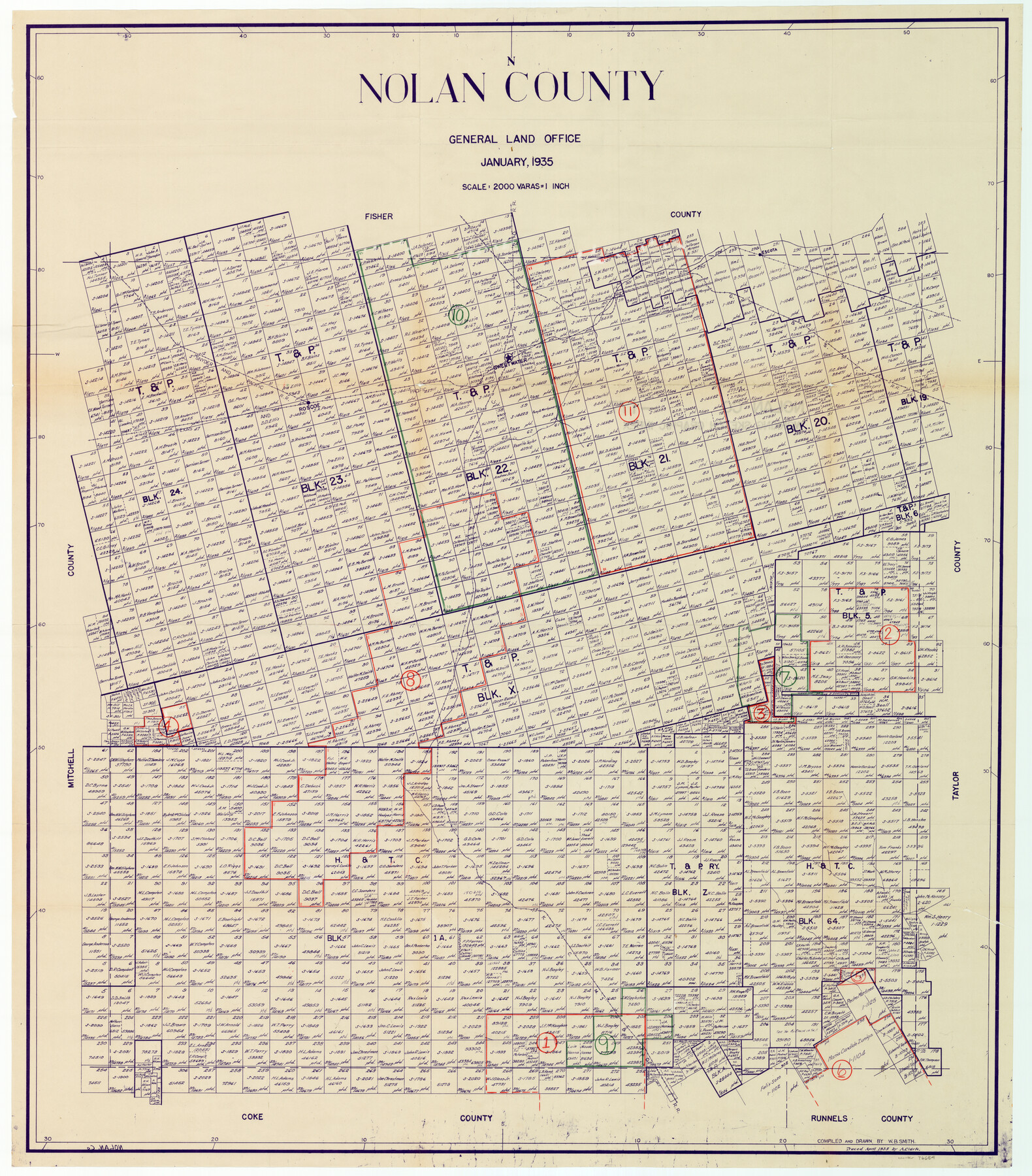
Nolan County Working Sketch Graphic Index
-
Map/Doc
76654
-
Collection
General Map Collection
-
Object Dates
1/1935 (Creation Date)
-
People and Organizations
W.B. Smith (Draftsman)
-
Counties
Nolan
-
Subjects
County Surveying Working Sketch
-
Height x Width
41.6 x 36.9 inches
105.7 x 93.7 cm
-
Scale
1" = 2000 varas
Part of: General Map Collection
Flight Mission No. BRA-7M, Frame 189, Jefferson County

Print $20.00
- Digital $50.00
Flight Mission No. BRA-7M, Frame 189, Jefferson County
1953
Size 18.5 x 22.3 inches
Map/Doc 85557
Hardeman County Working Sketch 15

Print $40.00
- Digital $50.00
Hardeman County Working Sketch 15
1981
Size 42.9 x 49.1 inches
Map/Doc 63396
Duval County Rolled Sketch 14

Print $20.00
- Digital $50.00
Duval County Rolled Sketch 14
1940
Size 35.8 x 25.9 inches
Map/Doc 5736
Webb County Rolled Sketch 46

Print $20.00
- Digital $50.00
Webb County Rolled Sketch 46
1942
Size 25.8 x 27.6 inches
Map/Doc 8202
Garza County Rolled Sketch 3

Print $2.00
- Digital $50.00
Garza County Rolled Sketch 3
Size 10.0 x 8.1 inches
Map/Doc 75940
Travis County Boundary File 3

Print $41.00
- Digital $50.00
Travis County Boundary File 3
Size 9.5 x 8.6 inches
Map/Doc 59409
United States Gulf Coast - from Galveston to the Rio Grande

Print $20.00
- Digital $50.00
United States Gulf Coast - from Galveston to the Rio Grande
1915
Size 26.6 x 18.3 inches
Map/Doc 72734
Coleman County Working Sketch 23

Print $20.00
- Digital $50.00
Coleman County Working Sketch 23
1958
Size 30.4 x 29.5 inches
Map/Doc 68276
Presidio County Sketch File 105

Print $20.00
- Digital $50.00
Presidio County Sketch File 105
Size 15.6 x 42.6 inches
Map/Doc 11726
Kinney County

Print $40.00
- Digital $50.00
Kinney County
1955
Size 50.5 x 47.0 inches
Map/Doc 73209
Carta Hidrografica

Print $20.00
- Digital $50.00
Carta Hidrografica
1897
Size 26.0 x 34.3 inches
Map/Doc 96803
Mason County Rolled Sketch 4

Print $20.00
- Digital $50.00
Mason County Rolled Sketch 4
1983
Size 23.3 x 26.9 inches
Map/Doc 6677
You may also like
Angelina County Sketch File 18

Print $4.00
- Digital $50.00
Angelina County Sketch File 18
Size 8.6 x 3.9 inches
Map/Doc 13028
Burleson County Sketch File 6

Print $4.00
- Digital $50.00
Burleson County Sketch File 6
1865
Size 8.0 x 9.3 inches
Map/Doc 16651
Hutchinson County

Print $20.00
- Digital $50.00
Hutchinson County
1922
Size 14.8 x 17.9 inches
Map/Doc 92168
Flight Mission No. BRE-1P, Frame 47, Nueces County

Print $20.00
- Digital $50.00
Flight Mission No. BRE-1P, Frame 47, Nueces County
1956
Size 18.4 x 22.3 inches
Map/Doc 86636
Saline Ranch in Mason, Kimble and Menard Counties

Print $20.00
- Digital $50.00
Saline Ranch in Mason, Kimble and Menard Counties
1916
Size 28.3 x 27.2 inches
Map/Doc 75806
Revised Map of Matagorda Bay and Vicinity in Matagorda and Calhoun Counties showing subdivision for mineral development

Print $40.00
- Digital $50.00
Revised Map of Matagorda Bay and Vicinity in Matagorda and Calhoun Counties showing subdivision for mineral development
1941
Size 44.3 x 60.0 inches
Map/Doc 2933
Menard County Working Sketch 6

Print $20.00
- Digital $50.00
Menard County Working Sketch 6
1924
Size 24.4 x 15.3 inches
Map/Doc 70953
Kleberg County Rolled Sketch 10-13

Print $20.00
- Digital $50.00
Kleberg County Rolled Sketch 10-13
1952
Size 37.0 x 32.5 inches
Map/Doc 9391
Die Eisenbahm von dem Missisippi nach dem stillen Ocean (Californien)

Print $20.00
- Digital $50.00
Die Eisenbahm von dem Missisippi nach dem stillen Ocean (Californien)
1856
Size 14.0 x 14.8 inches
Map/Doc 94075
Coleman County Working Sketch 13

Print $20.00
- Digital $50.00
Coleman County Working Sketch 13
1952
Size 37.1 x 26.3 inches
Map/Doc 68079
Starr County Sketch File 34

Print $20.00
- Digital $50.00
Starr County Sketch File 34
1939
Size 15.8 x 17.6 inches
Map/Doc 12337
Jasper County Working Sketch 25

Print $20.00
- Digital $50.00
Jasper County Working Sketch 25
1951
Size 21.6 x 32.3 inches
Map/Doc 66487