
Nolan County Rolled Sketch 4
1982
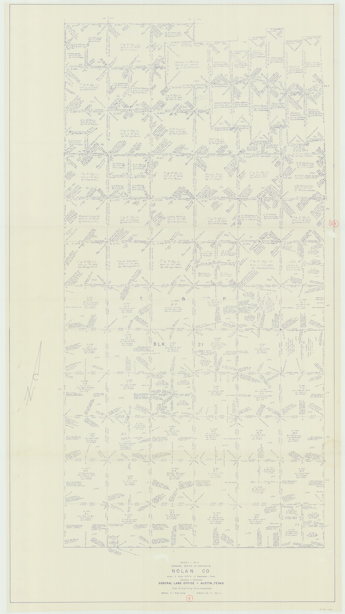
Nolan County Working Sketch 11
1971
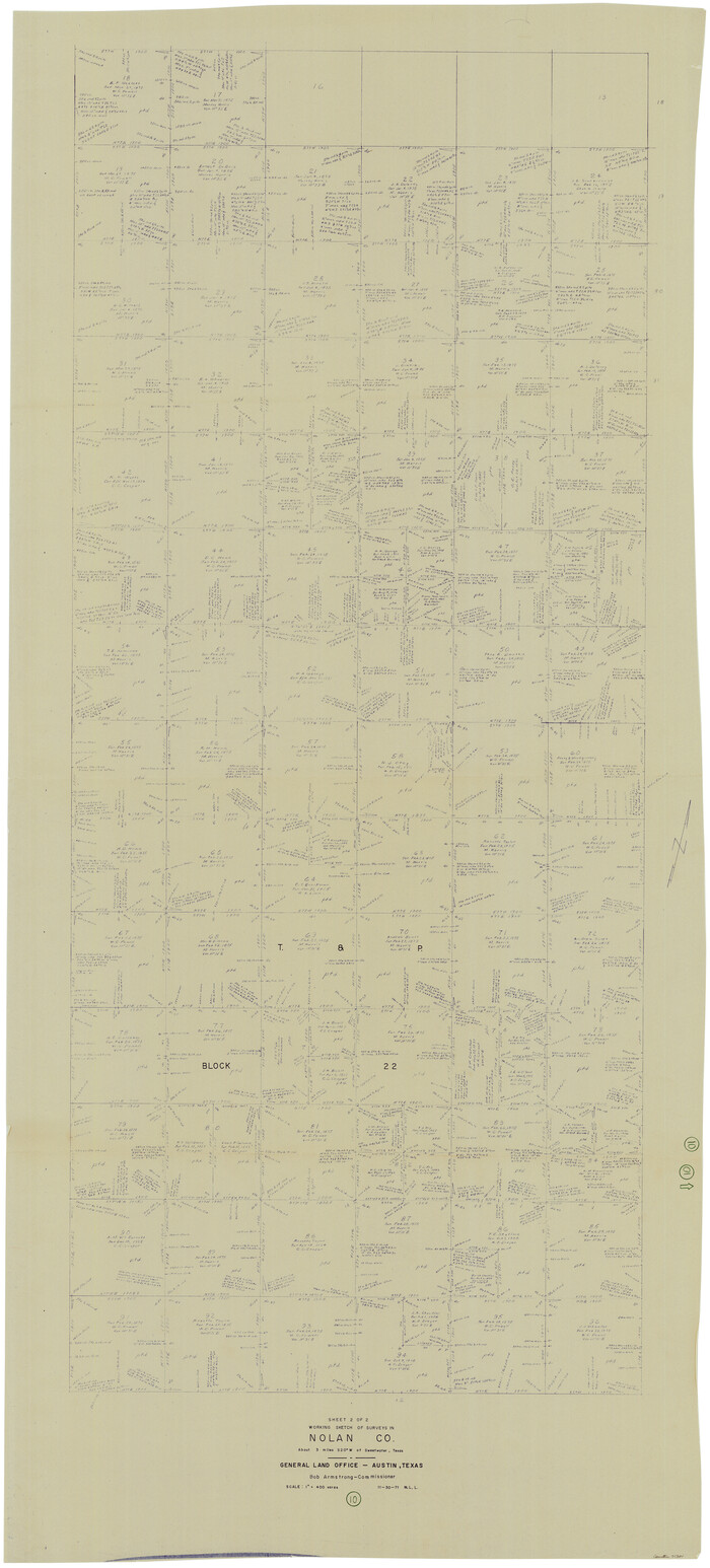
Nolan County Working Sketch 10
1971

Nolan County Working Sketch 9
1964
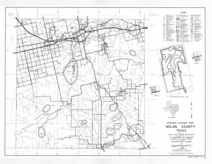
General Highway Map, Nolan County, Texas
1961

Nolan County Rolled Sketch 2
1956

Mitchell County Working Sketch 5
1956

Nolan County Working Sketch 8
1956

Runnels County Rolled Sketch 46
1954

Runnels County Rolled Sketch 45
1954
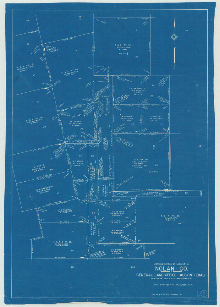
Nolan County Working Sketch 7
1954
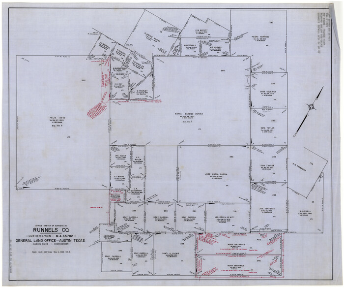
Runnels County Rolled Sketch 46
1954

Nolan County Sketch File 20
1954

Runnels County Rolled Sketch 35
1950
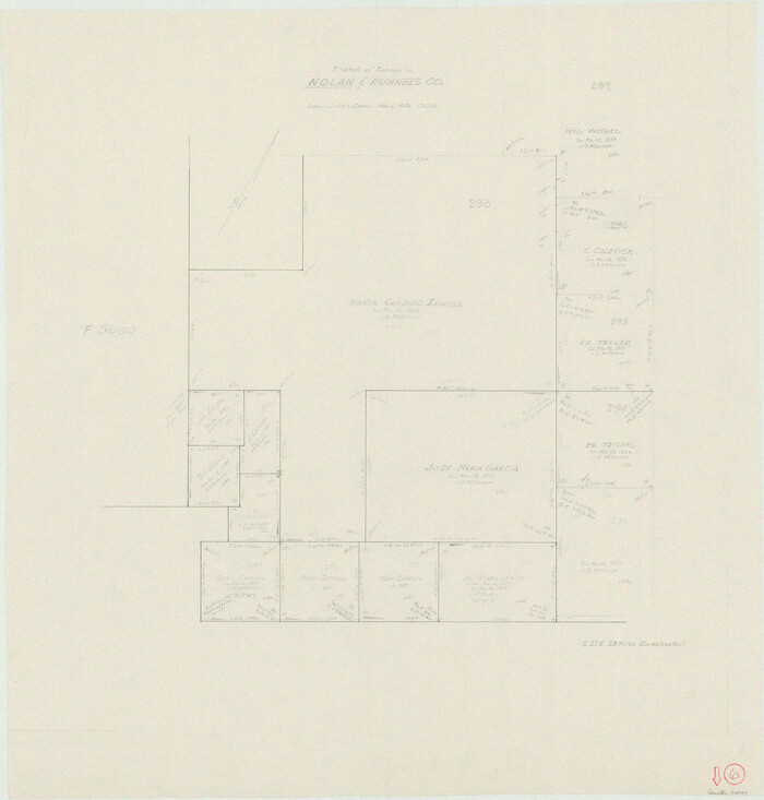
Nolan County Working Sketch 6
1950

Nolan County Working Sketch 5
1950
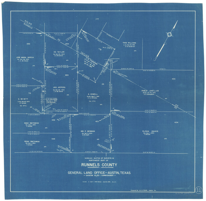
Runnels County Working Sketch 11
1949
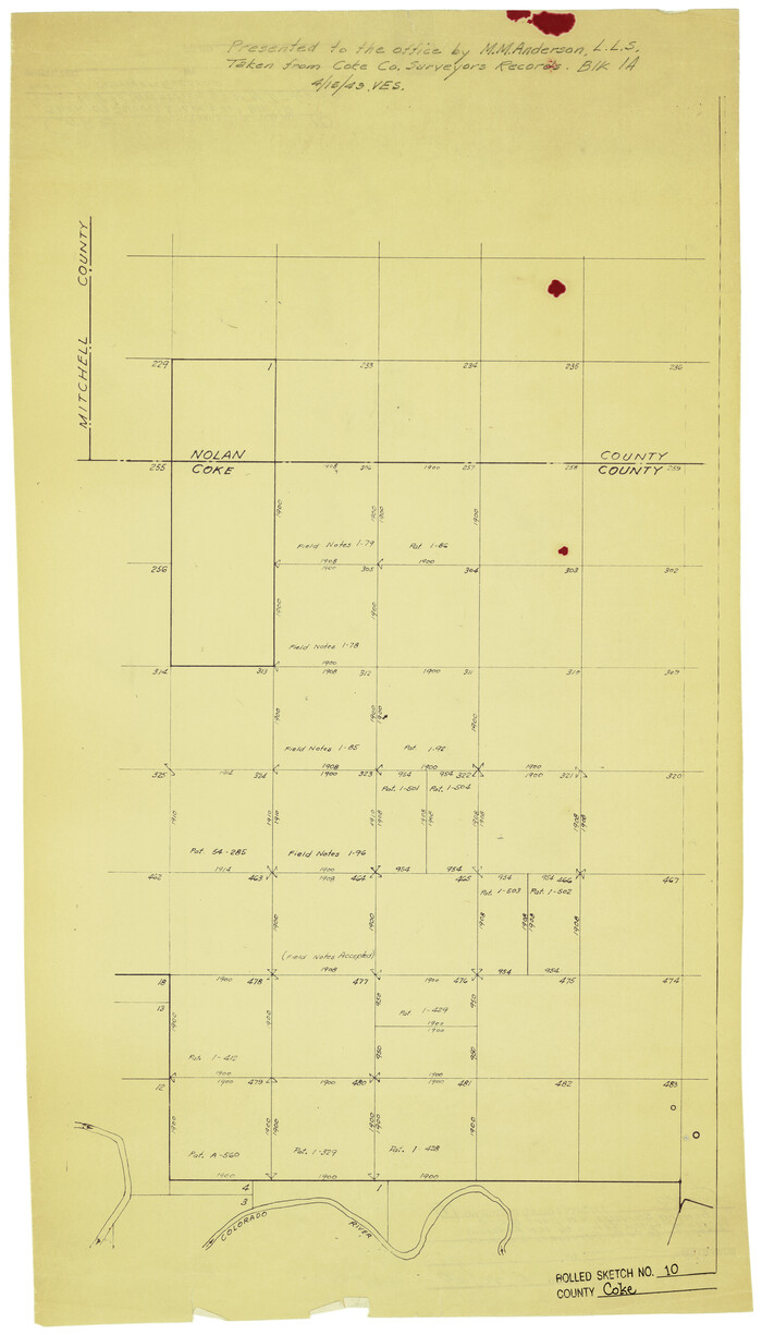
Coke County Rolled Sketch 10
1949

Nolan County Working Sketch 4
1948
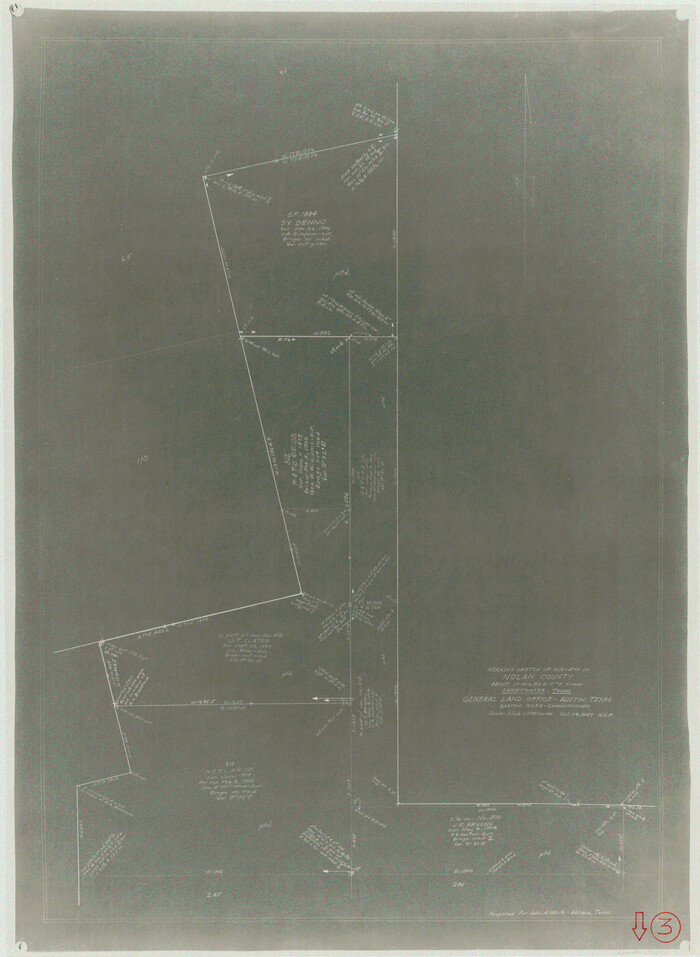
Nolan County Working Sketch 3
1947
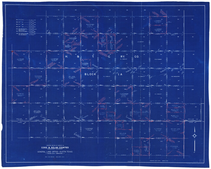
Coke County Working Sketch 12
1947

Taylor County Sketch File 19
1945
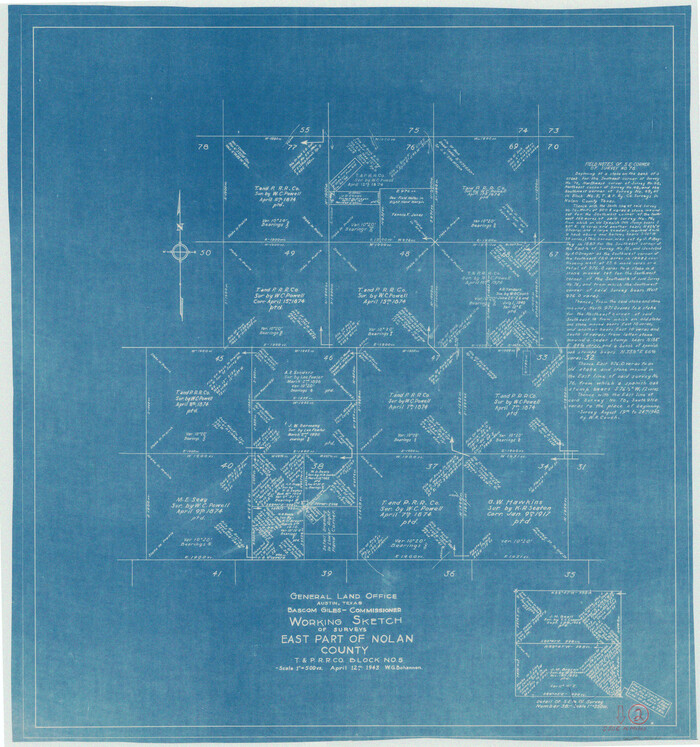
Nolan County Working Sketch 2
1943
Nolan County Sketch File 17
1940

General Highway Map, Nolan County, Texas
1940

Nolan County Sketch File 16
1938
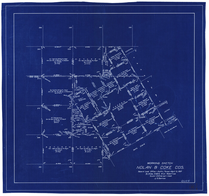
Coke County Working Sketch 10
1937

Nolan County Sketch File 19
1937

Nolan County Rolled Sketch 4
1982
-
Size
21.7 x 25.2 inches
-
Map/Doc
6862
-
Creation Date
1982

Nolan County Working Sketch 11
1971
-
Size
67.1 x 37.8 inches
-
Map/Doc
71302
-
Creation Date
1971

Nolan County Working Sketch 10
1971
-
Size
78.9 x 37.0 inches
-
Map/Doc
71301
-
Creation Date
1971

Nolan County Working Sketch 9
1964
-
Size
25.0 x 36.8 inches
-
Map/Doc
71300
-
Creation Date
1964

General Highway Map, Nolan County, Texas
1961
-
Size
19.3 x 25.0 inches
-
Map/Doc
79614
-
Creation Date
1961

Nolan County Rolled Sketch 2
1956
-
Size
27.7 x 35.0 inches
-
Map/Doc
6860
-
Creation Date
1956

Mitchell County Working Sketch 5
1956
-
Size
60.4 x 28.2 inches
-
Map/Doc
71062
-
Creation Date
1956

Nolan County Working Sketch 8
1956
-
Size
70.8 x 33.0 inches
-
Map/Doc
71299
-
Creation Date
1956

Runnels County Rolled Sketch 46
1954
-
Size
33.5 x 39.0 inches
-
Map/Doc
9872
-
Creation Date
1954

Runnels County Rolled Sketch 45
1954
-
Size
32.1 x 41.0 inches
-
Map/Doc
7532
-
Creation Date
1954

Nolan County Working Sketch 7
1954
-
Size
33.9 x 24.3 inches
-
Map/Doc
71298
-
Creation Date
1954

Runnels County Rolled Sketch 46
1954
-
Size
32.3 x 38.5 inches
-
Map/Doc
10622
-
Creation Date
1954

Nolan County Sketch File 20
1954
-
Size
21.1 x 22.4 inches
-
Map/Doc
42168
-
Creation Date
1954

Runnels County Rolled Sketch 35
1950
-
Size
34.1 x 44.6 inches
-
Map/Doc
7523
-
Creation Date
1950

Nolan County Working Sketch 6
1950
-
Size
27.2 x 26.0 inches
-
Map/Doc
71297
-
Creation Date
1950

Nolan County Working Sketch 5
1950
-
Size
9.7 x 13.9 inches
-
Map/Doc
71296
-
Creation Date
1950

Runnels County Working Sketch 11
1949
-
Size
24.6 x 25.2 inches
-
Map/Doc
63607
-
Creation Date
1949

Coke County Rolled Sketch 10
1949
-
Size
25.3 x 15.0 inches
-
Map/Doc
5509
-
Creation Date
1949

Nolan County Working Sketch 4
1948
-
Size
21.6 x 28.9 inches
-
Map/Doc
71295
-
Creation Date
1948

Nolan County Working Sketch 3
1947
-
Size
23.5 x 17.2 inches
-
Map/Doc
71294
-
Creation Date
1947

Coke County Working Sketch 12
1947
-
Size
36.7 x 45.6 inches
-
Map/Doc
68049
-
Creation Date
1947

Taylor County Sketch File 19
1945
-
Size
14.2 x 8.8 inches
-
Map/Doc
37816
-
Creation Date
1945

Nolan County Working Sketch 2
1943
-
Size
26.7 x 25.0 inches
-
Map/Doc
71293
-
Creation Date
1943

Nolan County Sketch File 17
1940
-
Size
17.9 x 10.1 inches
-
Map/Doc
32487
-
Creation Date
1940

General Highway Map, Nolan County, Texas
1940
-
Size
18.4 x 24.7 inches
-
Map/Doc
79208
-
Creation Date
1940

Nolan County Sketch File 16
1938
-
Size
18.9 x 23.4 inches
-
Map/Doc
42166
-
Creation Date
1938

Coke County Working Sketch 10
1937
-
Size
25.1 x 26.7 inches
-
Map/Doc
68047
-
Creation Date
1937

Nolan County Sketch File 19
1937
-
Size
17.3 x 19.6 inches
-
Map/Doc
42167
-
Creation Date
1937

Nolan County
1935
-
Size
44.4 x 38.0 inches
-
Map/Doc
66954
-
Creation Date
1935
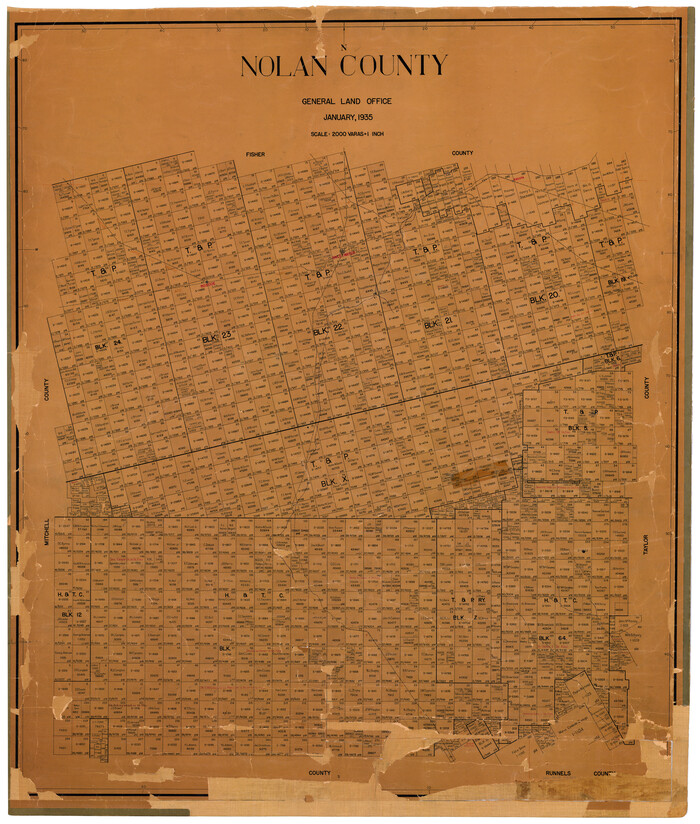
Nolan County
1935
-
Size
42.2 x 36.4 inches
-
Map/Doc
73251
-
Creation Date
1935