Parker County State Real Property Sketch 1


Print $20.00
- Digital $50.00
Parker County State Real Property Sketch 1
2022
Size: 47.4 x 35.1 inches
96678
Parker County Sketch File 50


Print $68.00
- Digital $50.00
Parker County Sketch File 50
2022
Size: 11.0 x 8.5 inches
96679
Palo Pinto County Working Sketch 27


Print $20.00
- Digital $50.00
Palo Pinto County Working Sketch 27
2006
83609
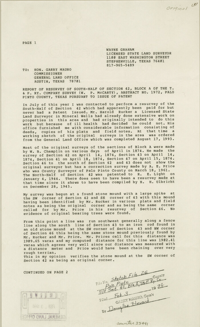
Palo Pinto County Sketch File 26

Print $8.00
- Digital $50.00
Palo Pinto County Sketch File 26
1993
Size: 14.0 x 8.6 inches
33441
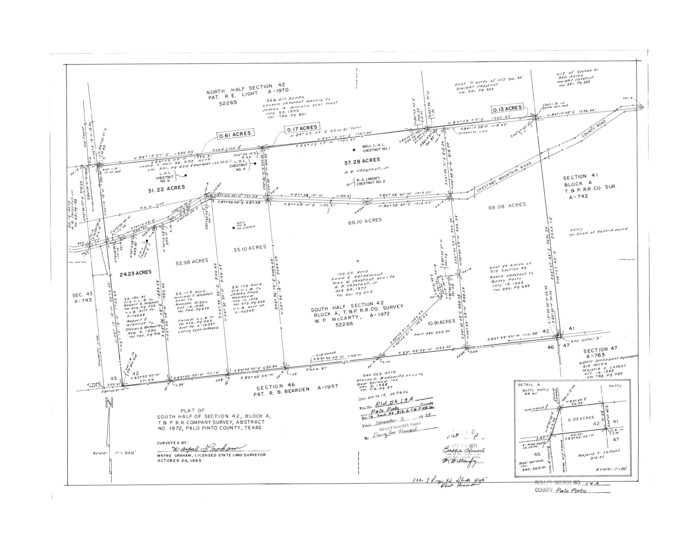
Palo Pinto County Rolled Sketch 14A

Print $20.00
- Digital $50.00
Palo Pinto County Rolled Sketch 14A
1993
Size: 21.8 x 28.2 inches
7195
Palo Pinto County Working Sketch 26


Print $20.00
- Digital $50.00
Palo Pinto County Working Sketch 26
1993
71409
Palo Pinto County Working Sketch 25


Print $20.00
- Digital $50.00
Palo Pinto County Working Sketch 25
1991
71408
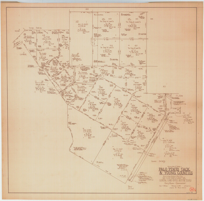
Palo Pinto County Working Sketch 24

Print $20.00
- Digital $50.00
Palo Pinto County Working Sketch 24
1990
71407
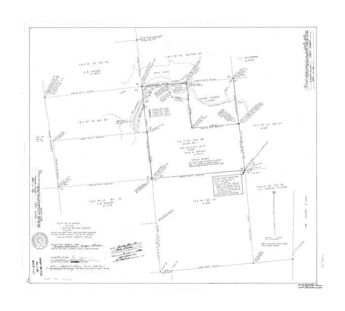
Palo Pinto County Rolled Sketch 13

Print $20.00
- Digital $50.00
Palo Pinto County Rolled Sketch 13
1986
Size: 29.0 x 32.2 inches
7193
Palo Pinto County Working Sketch 23
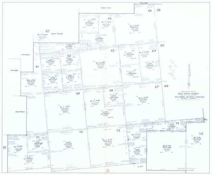

Print $40.00
- Digital $50.00
Palo Pinto County Working Sketch 23
1985
71406
Palo Pinto County Working Sketch 22
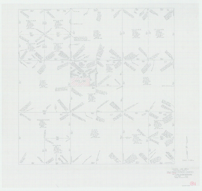

Print $20.00
- Digital $50.00
Palo Pinto County Working Sketch 22
1985
71405
Palo Pinto County Rolled Sketch 12


Print $20.00
- Digital $50.00
Palo Pinto County Rolled Sketch 12
1984
Size: 32.2 x 28.9 inches
7192
Palo Pinto County Working Sketch 21


Print $20.00
- Digital $50.00
Palo Pinto County Working Sketch 21
1984
Size: 37.9 x 39.9 inches
71404
Hudspeth County Sketch File 47
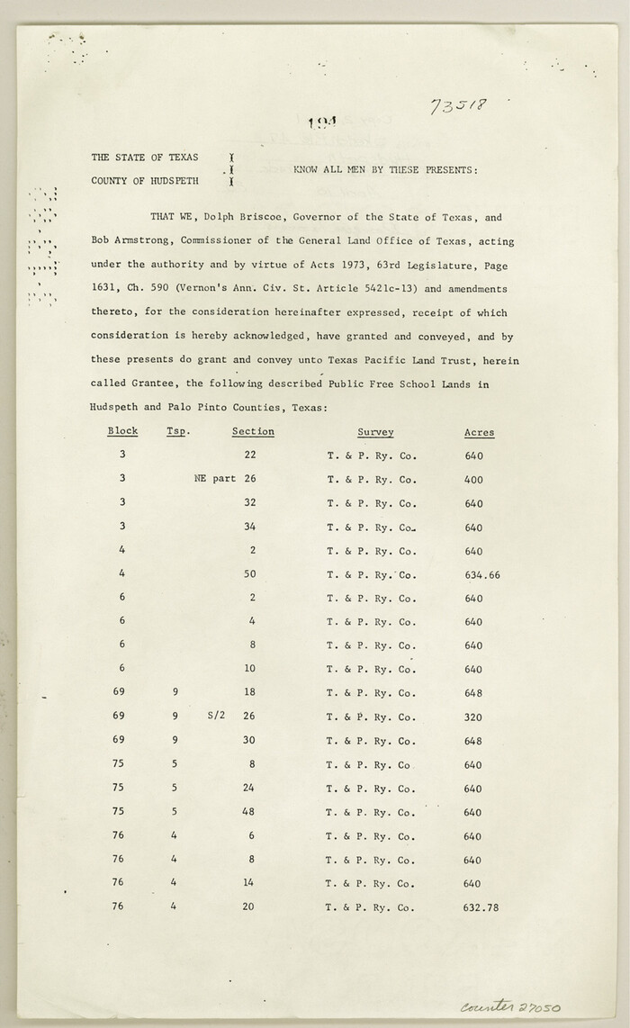

Print $30.00
- Digital $50.00
Hudspeth County Sketch File 47
1978
Size: 14.5 x 8.9 inches
27050
Palo Pinto County Working Sketch 20


Print $20.00
- Digital $50.00
Palo Pinto County Working Sketch 20
1977
Size: 30.2 x 38.1 inches
71403
Palo Pinto County Rolled Sketch 11
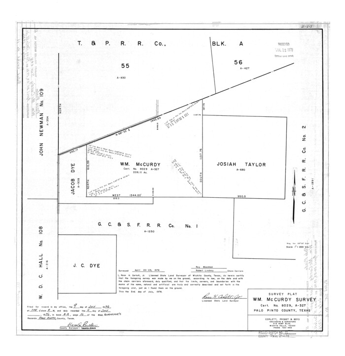

Print $20.00
- Digital $50.00
Palo Pinto County Rolled Sketch 11
1976
Size: 20.5 x 19.9 inches
7191
Palo Pinto County Working Sketch 19


Print $40.00
- Digital $50.00
Palo Pinto County Working Sketch 19
1975
Size: 34.0 x 55.5 inches
71402
Palo Pinto County Working Sketch 18


Print $20.00
- Digital $50.00
Palo Pinto County Working Sketch 18
1974
Size: 30.5 x 37.3 inches
71401
Palo Pinto County Working Sketch 17


Print $40.00
- Digital $50.00
Palo Pinto County Working Sketch 17
1974
Size: 30.0 x 53.8 inches
71400
Palo Pinto County Working Sketch 16
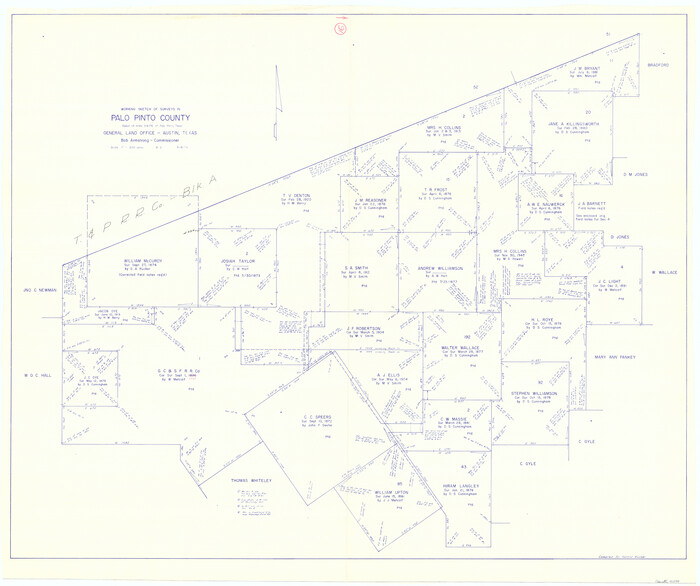

Print $20.00
- Digital $50.00
Palo Pinto County Working Sketch 16
1974
Size: 35.5 x 42.4 inches
71399
Palo Pinto County Working Sketch 15


Print $20.00
- Digital $50.00
Palo Pinto County Working Sketch 15
1971
Size: 26.4 x 30.8 inches
71398
Erath County Sketch File 33
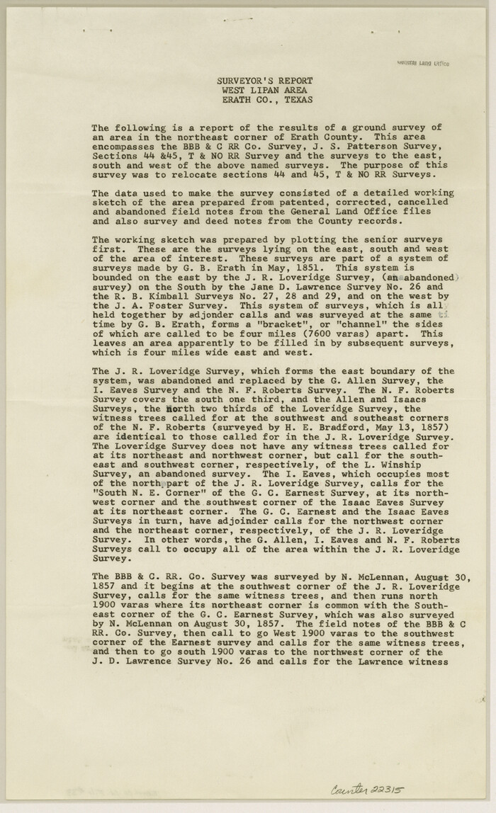

Print $11.00
- Digital $50.00
Erath County Sketch File 33
1962
Size: 14.4 x 8.8 inches
22315
Erath County Rolled Sketch 1
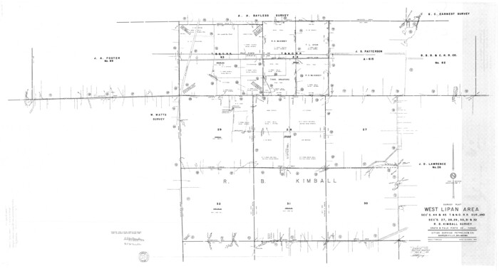

Print $40.00
- Digital $50.00
Erath County Rolled Sketch 1
1962
Size: 37.6 x 69.0 inches
8882
General Highway Map, Palo Pinto County, Texas


Print $20.00
General Highway Map, Palo Pinto County, Texas
1961
Size: 18.3 x 24.4 inches
79623
Young County Working Sketch 1


Print $20.00
- Digital $50.00
Young County Working Sketch 1
1960
Size: 31.1 x 41.9 inches
62024
Palo Pinto County Working Sketch 14
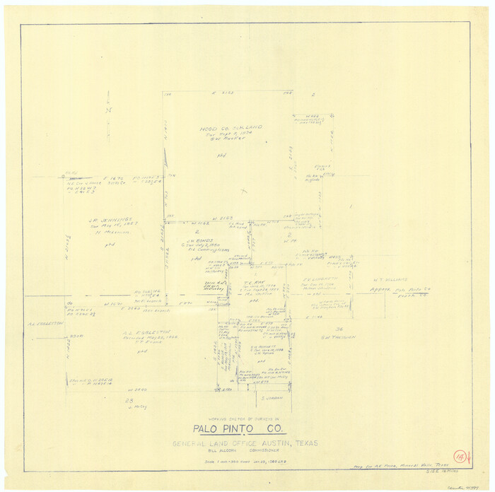

Print $20.00
- Digital $50.00
Palo Pinto County Working Sketch 14
1960
Size: 27.2 x 27.4 inches
71397
Young County Working Sketch 17


Print $20.00
- Digital $50.00
Young County Working Sketch 17
1958
Size: 20.7 x 28.6 inches
62040
Young County Working Sketch 16


Print $20.00
- Digital $50.00
Young County Working Sketch 16
1955
Size: 23.8 x 21.7 inches
62039
Palo Pinto County Rolled Sketch 10


Print $20.00
- Digital $50.00
Palo Pinto County Rolled Sketch 10
1954
Size: 35.4 x 34.1 inches
9676
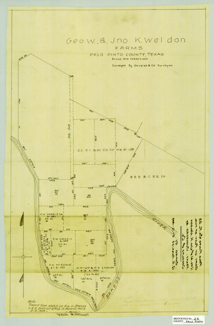
Palo Pinto County Sketch File 23

Print $20.00
- Digital $50.00
Palo Pinto County Sketch File 23
1949
Size: 23.5 x 15.4 inches
12135
Parker County State Real Property Sketch 1


Print $20.00
- Digital $50.00
Parker County State Real Property Sketch 1
2022
-
Size
47.4 x 35.1 inches
-
Map/Doc
96678
-
Creation Date
2022
Parker County Sketch File 50


Print $68.00
- Digital $50.00
Parker County Sketch File 50
2022
-
Size
11.0 x 8.5 inches
-
Map/Doc
96679
-
Creation Date
2022
Palo Pinto County Working Sketch 27


Print $20.00
- Digital $50.00
Palo Pinto County Working Sketch 27
2006
-
Map/Doc
83609
-
Creation Date
2006
Palo Pinto County Sketch File 26


Print $8.00
- Digital $50.00
Palo Pinto County Sketch File 26
1993
-
Size
14.0 x 8.6 inches
-
Map/Doc
33441
-
Creation Date
1993
Palo Pinto County Rolled Sketch 14A


Print $20.00
- Digital $50.00
Palo Pinto County Rolled Sketch 14A
1993
-
Size
21.8 x 28.2 inches
-
Map/Doc
7195
-
Creation Date
1993
Palo Pinto County Working Sketch 26


Print $20.00
- Digital $50.00
Palo Pinto County Working Sketch 26
1993
-
Map/Doc
71409
-
Creation Date
1993
Palo Pinto County Working Sketch 25


Print $20.00
- Digital $50.00
Palo Pinto County Working Sketch 25
1991
-
Map/Doc
71408
-
Creation Date
1991
Palo Pinto County Working Sketch 24


Print $20.00
- Digital $50.00
Palo Pinto County Working Sketch 24
1990
-
Map/Doc
71407
-
Creation Date
1990
Palo Pinto County Rolled Sketch 13


Print $20.00
- Digital $50.00
Palo Pinto County Rolled Sketch 13
1986
-
Size
29.0 x 32.2 inches
-
Map/Doc
7193
-
Creation Date
1986
Palo Pinto County Working Sketch 23


Print $40.00
- Digital $50.00
Palo Pinto County Working Sketch 23
1985
-
Map/Doc
71406
-
Creation Date
1985
Palo Pinto County Working Sketch 22


Print $20.00
- Digital $50.00
Palo Pinto County Working Sketch 22
1985
-
Map/Doc
71405
-
Creation Date
1985
Palo Pinto County Rolled Sketch 12


Print $20.00
- Digital $50.00
Palo Pinto County Rolled Sketch 12
1984
-
Size
32.2 x 28.9 inches
-
Map/Doc
7192
-
Creation Date
1984
Palo Pinto County Working Sketch 21


Print $20.00
- Digital $50.00
Palo Pinto County Working Sketch 21
1984
-
Size
37.9 x 39.9 inches
-
Map/Doc
71404
-
Creation Date
1984
Hudspeth County Sketch File 47


Print $30.00
- Digital $50.00
Hudspeth County Sketch File 47
1978
-
Size
14.5 x 8.9 inches
-
Map/Doc
27050
-
Creation Date
1978
Palo Pinto County Working Sketch 20


Print $20.00
- Digital $50.00
Palo Pinto County Working Sketch 20
1977
-
Size
30.2 x 38.1 inches
-
Map/Doc
71403
-
Creation Date
1977
Palo Pinto County Rolled Sketch 11


Print $20.00
- Digital $50.00
Palo Pinto County Rolled Sketch 11
1976
-
Size
20.5 x 19.9 inches
-
Map/Doc
7191
-
Creation Date
1976
Palo Pinto County Working Sketch 19


Print $40.00
- Digital $50.00
Palo Pinto County Working Sketch 19
1975
-
Size
34.0 x 55.5 inches
-
Map/Doc
71402
-
Creation Date
1975
Palo Pinto County Working Sketch 18


Print $20.00
- Digital $50.00
Palo Pinto County Working Sketch 18
1974
-
Size
30.5 x 37.3 inches
-
Map/Doc
71401
-
Creation Date
1974
Palo Pinto County Working Sketch 17


Print $40.00
- Digital $50.00
Palo Pinto County Working Sketch 17
1974
-
Size
30.0 x 53.8 inches
-
Map/Doc
71400
-
Creation Date
1974
Palo Pinto County Working Sketch 16


Print $20.00
- Digital $50.00
Palo Pinto County Working Sketch 16
1974
-
Size
35.5 x 42.4 inches
-
Map/Doc
71399
-
Creation Date
1974
Palo Pinto County Working Sketch 15


Print $20.00
- Digital $50.00
Palo Pinto County Working Sketch 15
1971
-
Size
26.4 x 30.8 inches
-
Map/Doc
71398
-
Creation Date
1971
Erath County Sketch File 33


Print $11.00
- Digital $50.00
Erath County Sketch File 33
1962
-
Size
14.4 x 8.8 inches
-
Map/Doc
22315
-
Creation Date
1962
Erath County Rolled Sketch 1


Print $40.00
- Digital $50.00
Erath County Rolled Sketch 1
1962
-
Size
37.6 x 69.0 inches
-
Map/Doc
8882
-
Creation Date
1962
General Highway Map, Palo Pinto County, Texas


Print $20.00
General Highway Map, Palo Pinto County, Texas
1961
-
Size
18.3 x 24.4 inches
-
Map/Doc
79623
-
Creation Date
1961
Young County Working Sketch 1


Print $20.00
- Digital $50.00
Young County Working Sketch 1
1960
-
Size
31.1 x 41.9 inches
-
Map/Doc
62024
-
Creation Date
1960
Palo Pinto County Working Sketch 14


Print $20.00
- Digital $50.00
Palo Pinto County Working Sketch 14
1960
-
Size
27.2 x 27.4 inches
-
Map/Doc
71397
-
Creation Date
1960
Young County Working Sketch 17


Print $20.00
- Digital $50.00
Young County Working Sketch 17
1958
-
Size
20.7 x 28.6 inches
-
Map/Doc
62040
-
Creation Date
1958
Young County Working Sketch 16


Print $20.00
- Digital $50.00
Young County Working Sketch 16
1955
-
Size
23.8 x 21.7 inches
-
Map/Doc
62039
-
Creation Date
1955
Palo Pinto County Rolled Sketch 10


Print $20.00
- Digital $50.00
Palo Pinto County Rolled Sketch 10
1954
-
Size
35.4 x 34.1 inches
-
Map/Doc
9676
-
Creation Date
1954
Palo Pinto County Sketch File 23


Print $20.00
- Digital $50.00
Palo Pinto County Sketch File 23
1949
-
Size
23.5 x 15.4 inches
-
Map/Doc
12135
-
Creation Date
1949