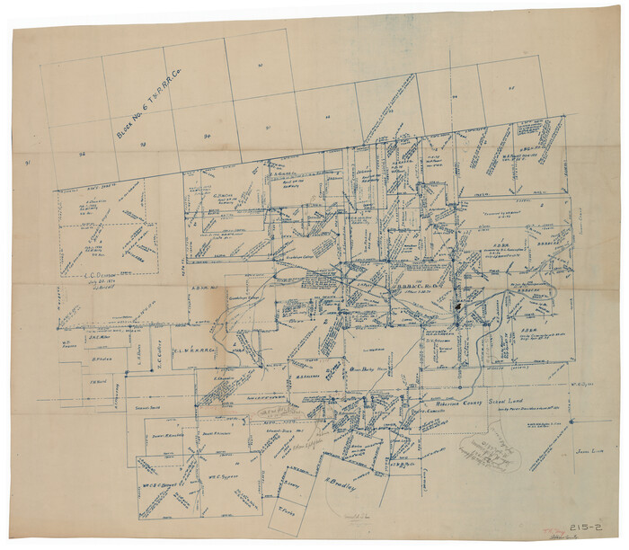
[Southeast part of Stephens County]

Print $20.00
- Digital $50.00
[Southeast part of Stephens County]
Size: 37.2 x 32.7 inches
91844
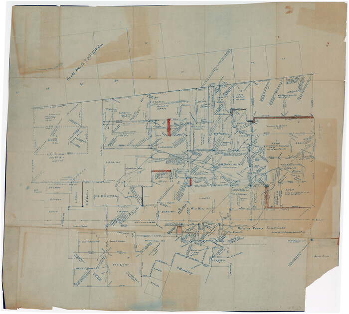
[SE Pt. of Stephens County]

Print $20.00
- Digital $50.00
[SE Pt. of Stephens County]
Size: 38.1 x 35.9 inches
89639
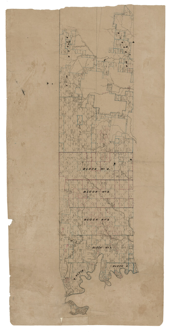
[Map of Texas and Pacific Blocks from Brazos River westward through Palo Pinto, Stephens, Shackelford, Jones, Callahan, Taylor, Fisher, Nolan and Mitchell Counties]

Print $20.00
- Digital $50.00
[Map of Texas and Pacific Blocks from Brazos River westward through Palo Pinto, Stephens, Shackelford, Jones, Callahan, Taylor, Fisher, Nolan and Mitchell Counties]
Size: 35.5 x 19.0 inches
64510
[Map of Texas and Pacific Blocks from Brazos River westward through Palo Pinto, Stephens, Shackelford, Jones, Callahan, Taylor, Fisher, Nolan and Mitchell Counties]


Print $40.00
- Digital $50.00
[Map of Texas and Pacific Blocks from Brazos River westward through Palo Pinto, Stephens, Shackelford, Jones, Callahan, Taylor, Fisher, Nolan and Mitchell Counties]
Size: 87.1 x 18.8 inches
93460
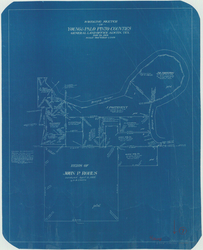
Young County Working Sketch 7

Print $20.00
- Digital $50.00
Young County Working Sketch 7
1919
Size: 24.3 x 19.8 inches
62030
Young County Working Sketch 17


Print $20.00
- Digital $50.00
Young County Working Sketch 17
1958
Size: 20.7 x 28.6 inches
62040
Young County Working Sketch 16


Print $20.00
- Digital $50.00
Young County Working Sketch 16
1955
Size: 23.8 x 21.7 inches
62039
Young County Working Sketch 1


Print $20.00
- Digital $50.00
Young County Working Sketch 1
1960
Size: 31.1 x 41.9 inches
62024
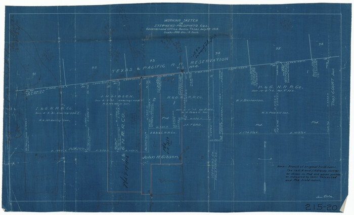
Working Sketch in Stephens-Palo Pinto Cos.

Print $20.00
- Digital $50.00
Working Sketch in Stephens-Palo Pinto Cos.
1919
Size: 21.7 x 13.2 inches
91887
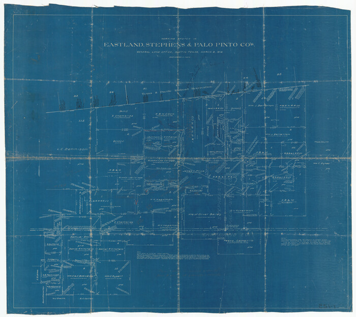
Working Sketch in Eastland, Stephens, and Palo Pinto Co's.

Print $20.00
- Digital $50.00
Working Sketch in Eastland, Stephens, and Palo Pinto Co's.
1919
Size: 40.3 x 35.7 inches
91995
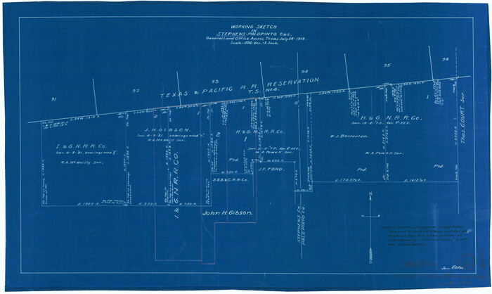
Stephens County Working Sketch 6

Print $20.00
- Digital $50.00
Stephens County Working Sketch 6
1919
Size: 13.1 x 22.0 inches
63949
Stephens County Working Sketch 2


Print $20.00
- Digital $50.00
Stephens County Working Sketch 2
1918
Size: 17.1 x 21.1 inches
63945
Sketch showing the Connnecting Lines run by Olliver Hedgcoxe for the Texan Emigration and Land Company connecting their Surveys made by them in Peters' Colony, Texas


Print $40.00
- Digital $50.00
Sketch showing the Connnecting Lines run by Olliver Hedgcoxe for the Texan Emigration and Land Company connecting their Surveys made by them in Peters' Colony, Texas
1854
Size: 45.8 x 61.9 inches
1969
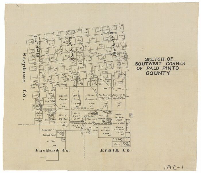
Sketch of Southwest Corner of Palo Pinto County

Print $20.00
- Digital $50.00
Sketch of Southwest Corner of Palo Pinto County
Size: 13.9 x 12.0 inches
91647
Parker County Working Sketch 2


Print $20.00
- Digital $50.00
Parker County Working Sketch 2
1920
71452
Parker County State Real Property Sketch 1


Print $20.00
- Digital $50.00
Parker County State Real Property Sketch 1
2022
Size: 47.4 x 35.1 inches
96678
Parker County Sketch File 50


Print $68.00
- Digital $50.00
Parker County Sketch File 50
2022
Size: 11.0 x 8.5 inches
96679
Parker County Sketch File 48


Print $20.00
- Digital $50.00
Parker County Sketch File 48
1858
Size: 17.6 x 22.3 inches
12152
Parker County Sketch File 47


Print $20.00
- Digital $50.00
Parker County Sketch File 47
1857
Size: 16.4 x 34.7 inches
12151
Parker County Sketch File 38


Print $20.00
- Digital $50.00
Parker County Sketch File 38
Size: 21.7 x 13.3 inches
12149
Parker County Sketch File 27


Print $20.00
- Digital $50.00
Parker County Sketch File 27
1876
Size: 23.7 x 23.8 inches
12146
Parker County Sketch File 21
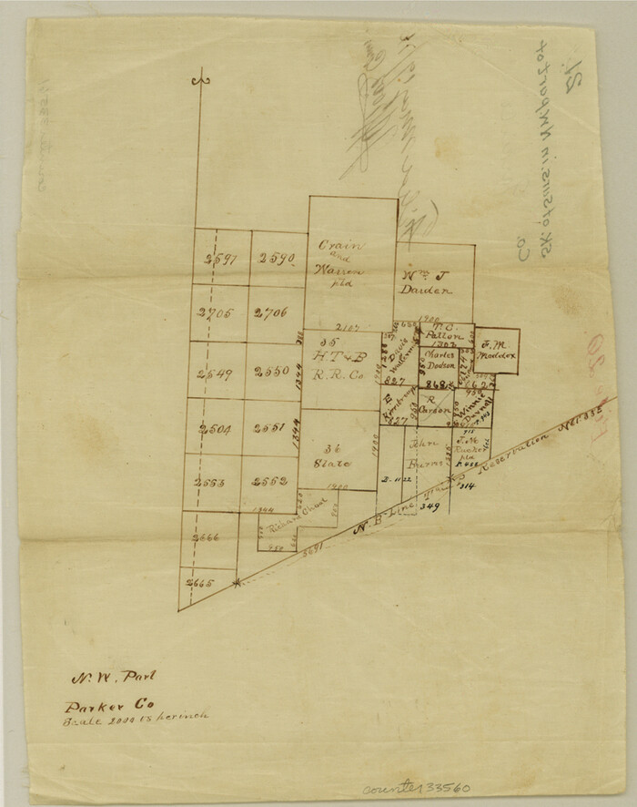

Print $4.00
- Digital $50.00
Parker County Sketch File 21
Size: 9.6 x 7.6 inches
33560
Parker County Sketch File 16


Print $22.00
- Digital $50.00
Parker County Sketch File 16
1870
Size: 12.9 x 16.3 inches
33550
Parker County Sketch File 15A


Print $20.00
- Digital $50.00
Parker County Sketch File 15A
1875
Size: 28.5 x 13.6 inches
12144
Parker County Sketch File 14
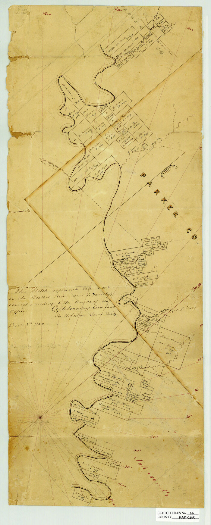

Print $20.00
- Digital $50.00
Parker County Sketch File 14
1853
Size: 25.6 x 10.3 inches
12143
Parker County Sketch File 10


Print $40.00
- Digital $50.00
Parker County Sketch File 10
Size: 43.5 x 37.8 inches
10567
Palo Pinto County, Texas


Print $20.00
- Digital $50.00
Palo Pinto County, Texas
1879
Size: 17.8 x 19.0 inches
529
Palo Pinto County, Texas
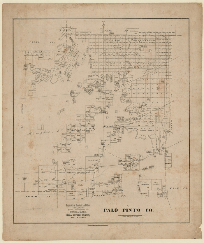

Print $20.00
- Digital $50.00
Palo Pinto County, Texas
1871
Size: 28.8 x 23.4 inches
660
Palo Pinto County Working Sketch Graphic Index
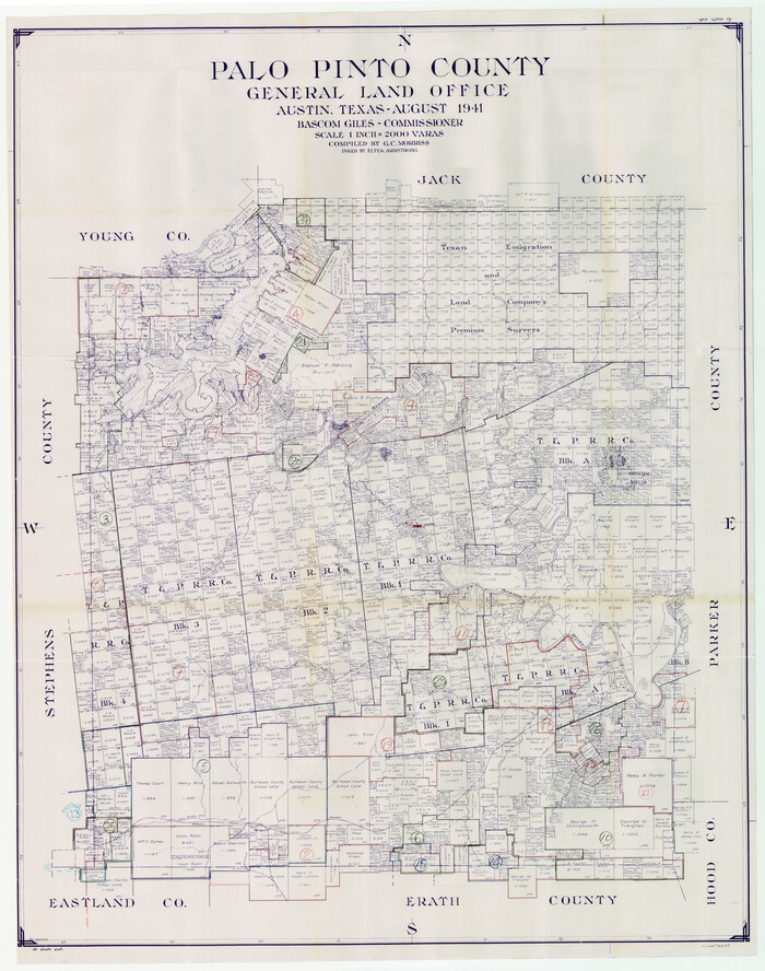

Print $20.00
- Digital $50.00
Palo Pinto County Working Sketch Graphic Index
1941
76659
[Southeast part of Stephens County]
![91844, [Southeast part of Stephens County], Twichell Survey Records](https://historictexasmaps.com/wmedia_w700/maps/91844-1.tif.jpg)
![91844, [Southeast part of Stephens County], Twichell Survey Records](https://historictexasmaps.com/wmedia_w700/maps/91844-1.tif.jpg)
Print $20.00
- Digital $50.00
[Southeast part of Stephens County]
-
Size
37.2 x 32.7 inches
-
Map/Doc
91844
[SE Pt. of Stephens County]
![89639, [SE Pt. of Stephens County], Twichell Survey Records](https://historictexasmaps.com/wmedia_w700/maps/89639-1.tif.jpg)
![89639, [SE Pt. of Stephens County], Twichell Survey Records](https://historictexasmaps.com/wmedia_w700/maps/89639-1.tif.jpg)
Print $20.00
- Digital $50.00
[SE Pt. of Stephens County]
-
Size
38.1 x 35.9 inches
-
Map/Doc
89639
[Map of Texas and Pacific Blocks from Brazos River westward through Palo Pinto, Stephens, Shackelford, Jones, Callahan, Taylor, Fisher, Nolan and Mitchell Counties]
![64510, [Map of Texas and Pacific Blocks from Brazos River westward through Palo Pinto, Stephens, Shackelford, Jones, Callahan, Taylor, Fisher, Nolan and Mitchell Counties], General Map Collection](https://historictexasmaps.com/wmedia_w700/maps/64510-1.tif.jpg)
![64510, [Map of Texas and Pacific Blocks from Brazos River westward through Palo Pinto, Stephens, Shackelford, Jones, Callahan, Taylor, Fisher, Nolan and Mitchell Counties], General Map Collection](https://historictexasmaps.com/wmedia_w700/maps/64510-1.tif.jpg)
Print $20.00
- Digital $50.00
[Map of Texas and Pacific Blocks from Brazos River westward through Palo Pinto, Stephens, Shackelford, Jones, Callahan, Taylor, Fisher, Nolan and Mitchell Counties]
-
Size
35.5 x 19.0 inches
-
Map/Doc
64510
[Map of Texas and Pacific Blocks from Brazos River westward through Palo Pinto, Stephens, Shackelford, Jones, Callahan, Taylor, Fisher, Nolan and Mitchell Counties]
![93460, [Map of Texas and Pacific Blocks from Brazos River westward through Palo Pinto, Stephens, Shackelford, Jones, Callahan, Taylor, Fisher, Nolan and Mitchell Counties], General Map Collection](https://historictexasmaps.com/wmedia_w700/maps/93460.tif.jpg)
![93460, [Map of Texas and Pacific Blocks from Brazos River westward through Palo Pinto, Stephens, Shackelford, Jones, Callahan, Taylor, Fisher, Nolan and Mitchell Counties], General Map Collection](https://historictexasmaps.com/wmedia_w700/maps/93460.tif.jpg)
Print $40.00
- Digital $50.00
[Map of Texas and Pacific Blocks from Brazos River westward through Palo Pinto, Stephens, Shackelford, Jones, Callahan, Taylor, Fisher, Nolan and Mitchell Counties]
-
Size
87.1 x 18.8 inches
-
Map/Doc
93460
Young County Working Sketch 7


Print $20.00
- Digital $50.00
Young County Working Sketch 7
1919
-
Size
24.3 x 19.8 inches
-
Map/Doc
62030
-
Creation Date
1919
Young County Working Sketch 17


Print $20.00
- Digital $50.00
Young County Working Sketch 17
1958
-
Size
20.7 x 28.6 inches
-
Map/Doc
62040
-
Creation Date
1958
Young County Working Sketch 16


Print $20.00
- Digital $50.00
Young County Working Sketch 16
1955
-
Size
23.8 x 21.7 inches
-
Map/Doc
62039
-
Creation Date
1955
Young County Working Sketch 1


Print $20.00
- Digital $50.00
Young County Working Sketch 1
1960
-
Size
31.1 x 41.9 inches
-
Map/Doc
62024
-
Creation Date
1960
Working Sketch in Stephens-Palo Pinto Cos.


Print $20.00
- Digital $50.00
Working Sketch in Stephens-Palo Pinto Cos.
1919
-
Size
21.7 x 13.2 inches
-
Map/Doc
91887
-
Creation Date
1919
Working Sketch in Eastland, Stephens, and Palo Pinto Co's.


Print $20.00
- Digital $50.00
Working Sketch in Eastland, Stephens, and Palo Pinto Co's.
1919
-
Size
40.3 x 35.7 inches
-
Map/Doc
91995
-
Creation Date
1919
Stephens County Working Sketch 6


Print $20.00
- Digital $50.00
Stephens County Working Sketch 6
1919
-
Size
13.1 x 22.0 inches
-
Map/Doc
63949
-
Creation Date
1919
Stephens County Working Sketch 2


Print $20.00
- Digital $50.00
Stephens County Working Sketch 2
1918
-
Size
17.1 x 21.1 inches
-
Map/Doc
63945
-
Creation Date
1918
Sketch showing the Connnecting Lines run by Olliver Hedgcoxe for the Texan Emigration and Land Company connecting their Surveys made by them in Peters' Colony, Texas


Print $40.00
- Digital $50.00
Sketch showing the Connnecting Lines run by Olliver Hedgcoxe for the Texan Emigration and Land Company connecting their Surveys made by them in Peters' Colony, Texas
1854
-
Size
45.8 x 61.9 inches
-
Map/Doc
1969
-
Creation Date
1854
Sketch of Southwest Corner of Palo Pinto County


Print $20.00
- Digital $50.00
Sketch of Southwest Corner of Palo Pinto County
-
Size
13.9 x 12.0 inches
-
Map/Doc
91647
Parker County Working Sketch 2


Print $20.00
- Digital $50.00
Parker County Working Sketch 2
1920
-
Map/Doc
71452
-
Creation Date
1920
Parker County State Real Property Sketch 1


Print $20.00
- Digital $50.00
Parker County State Real Property Sketch 1
2022
-
Size
47.4 x 35.1 inches
-
Map/Doc
96678
-
Creation Date
2022
Parker County Sketch File 50


Print $68.00
- Digital $50.00
Parker County Sketch File 50
2022
-
Size
11.0 x 8.5 inches
-
Map/Doc
96679
-
Creation Date
2022
Parker County Sketch File 48


Print $20.00
- Digital $50.00
Parker County Sketch File 48
1858
-
Size
17.6 x 22.3 inches
-
Map/Doc
12152
-
Creation Date
1858
Parker County Sketch File 47


Print $20.00
- Digital $50.00
Parker County Sketch File 47
1857
-
Size
16.4 x 34.7 inches
-
Map/Doc
12151
-
Creation Date
1857
Parker County Sketch File 38


Print $20.00
- Digital $50.00
Parker County Sketch File 38
-
Size
21.7 x 13.3 inches
-
Map/Doc
12149
Parker County Sketch File 27


Print $20.00
- Digital $50.00
Parker County Sketch File 27
1876
-
Size
23.7 x 23.8 inches
-
Map/Doc
12146
-
Creation Date
1876
Parker County Sketch File 21


Print $4.00
- Digital $50.00
Parker County Sketch File 21
-
Size
9.6 x 7.6 inches
-
Map/Doc
33560
Parker County Sketch File 16


Print $22.00
- Digital $50.00
Parker County Sketch File 16
1870
-
Size
12.9 x 16.3 inches
-
Map/Doc
33550
-
Creation Date
1870
Parker County Sketch File 15A


Print $20.00
- Digital $50.00
Parker County Sketch File 15A
1875
-
Size
28.5 x 13.6 inches
-
Map/Doc
12144
-
Creation Date
1875
Parker County Sketch File 14


Print $20.00
- Digital $50.00
Parker County Sketch File 14
1853
-
Size
25.6 x 10.3 inches
-
Map/Doc
12143
-
Creation Date
1853
Parker County Sketch File 10


Print $40.00
- Digital $50.00
Parker County Sketch File 10
-
Size
43.5 x 37.8 inches
-
Map/Doc
10567
Palo Pinto County, Texas


Print $20.00
- Digital $50.00
Palo Pinto County, Texas
1879
-
Size
17.8 x 19.0 inches
-
Map/Doc
529
-
Creation Date
1879
Palo Pinto County, Texas


Print $20.00
- Digital $50.00
Palo Pinto County, Texas
1871
-
Size
28.8 x 23.4 inches
-
Map/Doc
660
-
Creation Date
1871
Palo Pinto County, Texas
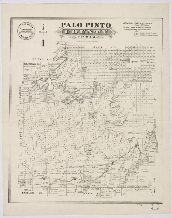

Print $20.00
Palo Pinto County, Texas
-
Size
24.6 x 19.5 inches
-
Map/Doc
88986
Palo Pinto County Working Sketch Graphic Index


Print $20.00
- Digital $50.00
Palo Pinto County Working Sketch Graphic Index
1941
-
Map/Doc
76659
-
Creation Date
1941