123 results

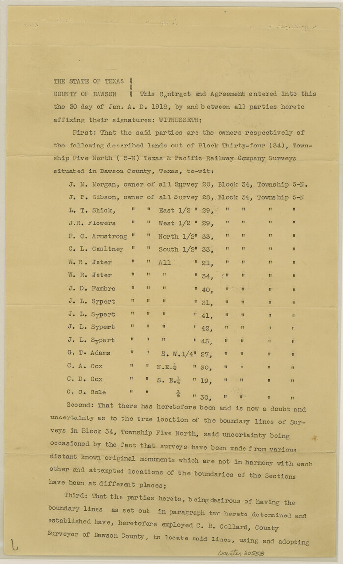
Dawson County Sketch File 17
20558, Dawson County Sketch File 17, General Map Collection
Print $18.00 - Digital $50.00

Dawson County Sketch File 17

Size: 14.4 x 8.8 inches
20558
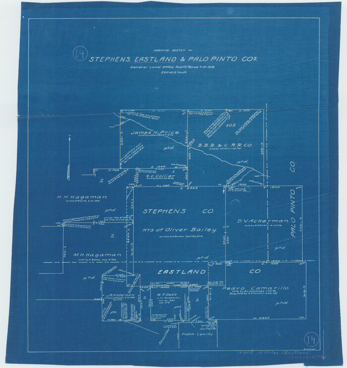
Eastland County Sketch File 14
21595, Eastland County Sketch File 14, General Map Collection
Print $8.00 - Digital $50.00

Eastland County Sketch File 14

Size: 11.5 x 9.2 inches
21595
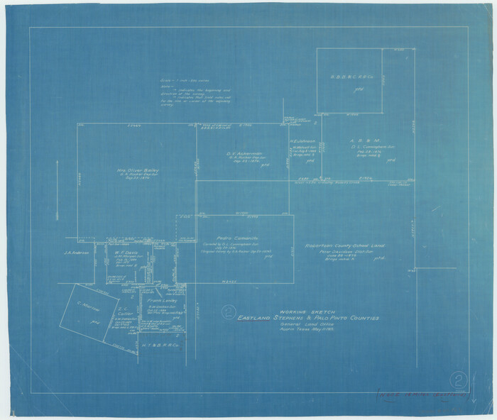
Eastland County Sketch File 7
21574, Eastland County Sketch File 7, General Map Collection
Print $4.00 - Digital $50.00

Eastland County Sketch File 7

1872

Size: 12.6 x 8.5 inches
21574
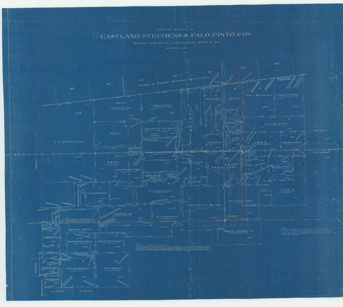
Eastland County Working Sketch 5
68786-1.tif
Print $20.00 - Digital $50.00

Eastland County Working Sketch 5

1918
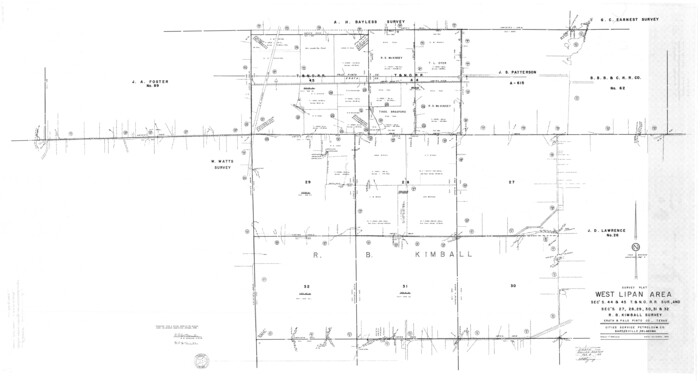
Size: 16.1 x 19.3 inches
68786
Erath County Rolled Sketch 1
8882.tif
Print $40.00 - Digital $50.00

Erath County Rolled Sketch 1

1962

Size: 69.5 x 41.4 inches
8882
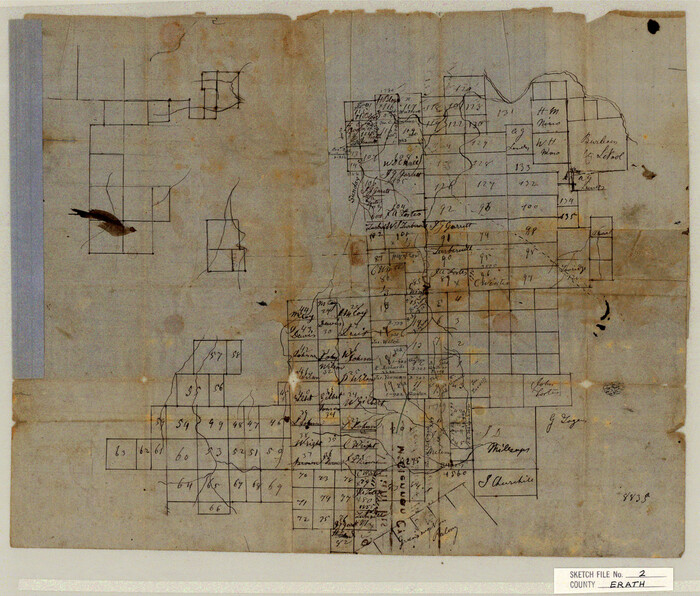
Erath County Sketch File 2
11463, Erath County Sketch File 2, General Map Collection
Print $20.00 - Digital $50.00

Erath County Sketch File 2

Size: 13.2 x 15.5 inches
11463
Erath County Sketch File 33
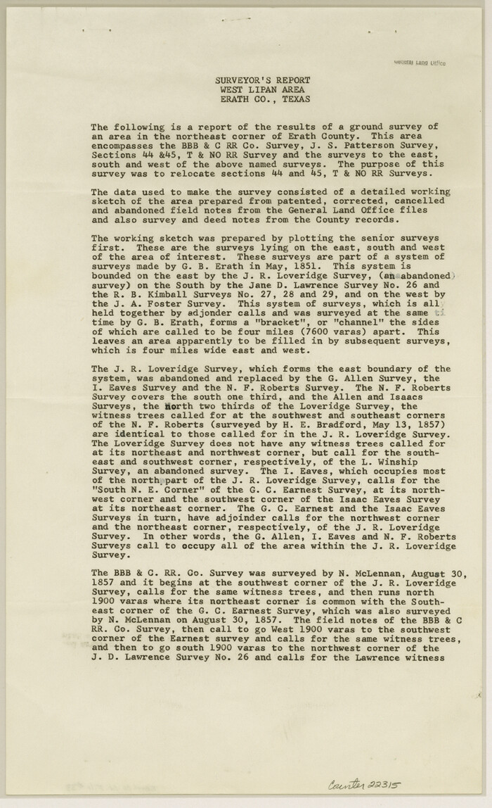
22315, Erath County Sketch File 33, General Map Collection
Print $11.00 - Digital $50.00

Erath County Sketch File 33

1962

Size: 14.4 x 8.8 inches
22315
General Highway Map, Palo Pinto County, Texas
79213.tif
Print $20.00

General Highway Map, Palo Pinto County, Texas

1940

Size: 18.2 x 24.6 inches
79213
General Highway Map, Palo Pinto County, Texas
79623.tif
Print $20.00

General Highway Map, Palo Pinto County, Texas

1961

Size: 18.3 x 24.4 inches
79623
Gulf, Texas & Western Railway
64441.tif
Print $40.00 - Digital $50.00

Gulf, Texas & Western Railway

1913

Size: 19.8 x 64.7 inches
64441
Hudspeth County Sketch File 47
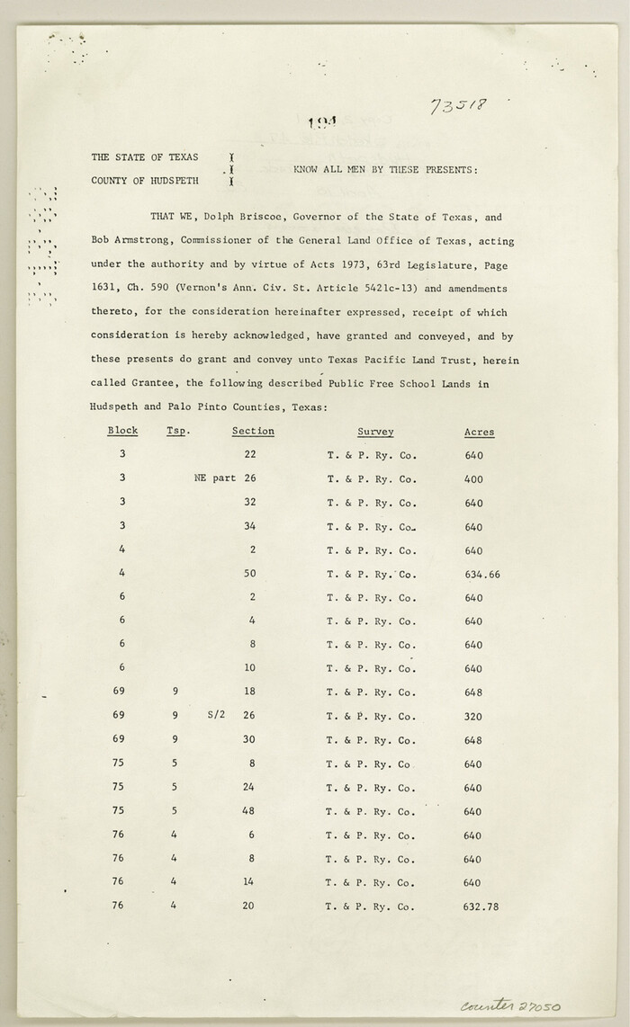
27050, Hudspeth County Sketch File 47, General Map Collection
Print $30.00 - Digital $50.00

Hudspeth County Sketch File 47

1978

Size: 14.5 x 8.9 inches
27050
Jack County Sketch File 15
27545, Jack County Sketch File 15, General Map Collection
Print $4.00 - Digital $50.00

Jack County Sketch File 15

1880

Size: 7.3 x 13.7 inches
27545
Jack County Sketch File 4
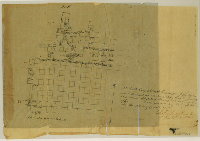
27506, Jack County Sketch File 4, General Map Collection
Print $4.00 - Digital $50.00

Jack County Sketch File 4

1857

Size: 9.0 x 12.7 inches
27506
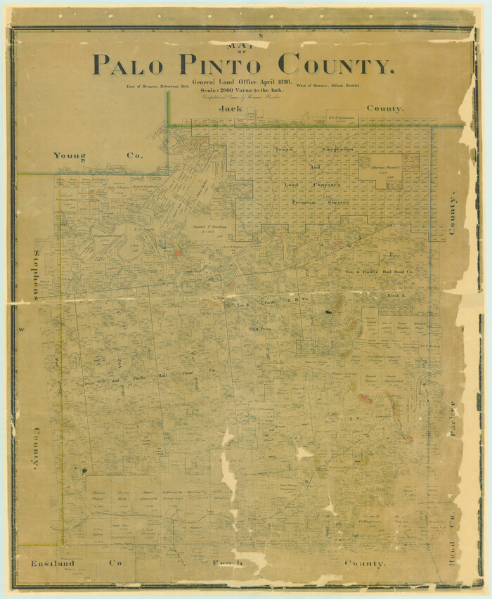
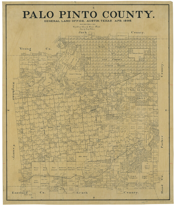
Map of Palo Pinto County
16783.tif
Print $20.00 - Digital $50.00

Map of Palo Pinto County

1898

Size: 45.8 x 37.6 inches
16783
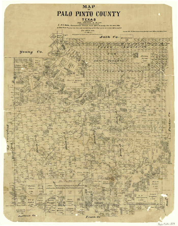
Map of Palo Pinto County Texas
3933.tif
Print $20.00 - Digital $50.00

Map of Palo Pinto County Texas

1879

Size: 22.0 x 17.3 inches
3933
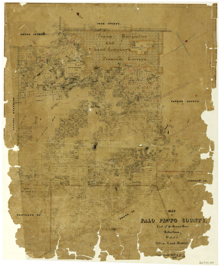
Map of Palo Pinto County, east of the Brazos River, Robertson - west of it, Milam Land District
3935.tif
Print $20.00 - Digital $50.00

Map of Palo Pinto County, east of the Brazos River, Robertson - west of it, Milam Land District

1859
Size: 27.4 x 22.3 inches
3935
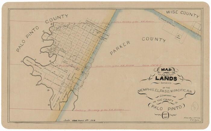
Map of the Lands Surveyed by the Memphis, El Paso & Pacific R.R. Company
4850.tif
Print $20.00 - Digital $50.00

Map of the Lands Surveyed by the Memphis, El Paso & Pacific R.R. Company

1859

Size: 11.4 x 18.6 inches
4850
Map of the Recognised Line, M. El. P. & P. RR. from Texas & Arkansas State Line to Milam & Bexar Land District Line
64638.tif
Print $40.00 - Digital $50.00

Map of the Recognised Line, M. El. P. & P. RR. from Texas & Arkansas State Line to Milam & Bexar Land District Line

Size: 15.3 x 89.4 inches
64638
Map of the Texas & Pacific Railway from Fort Worth to El Paso
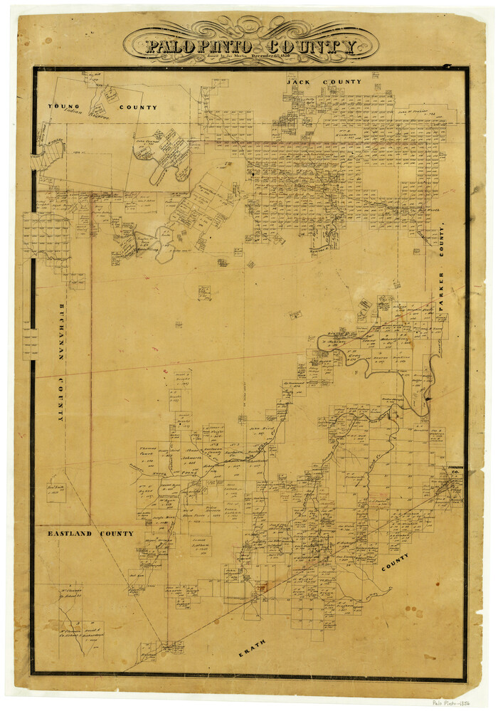
64511.tif
Print $40.00 - Digital $50.00

Map of the Texas & Pacific Railway from Fort Worth to El Paso

Size: 24.0 x 76.5 inches
64511
Milam [District]
1948.tif
Print $40.00 - Digital $50.00

Milam [District]

1850

Size: 60.8 x 46.4 inches
1948
Palo Pinto County
1394-1.tif
Print $20.00 - Digital $50.00

Palo Pinto County

1856

Size: 29.9 x 20.9 inches
1394
Palo Pinto County
3934-1.tif
Print $20.00 - Digital $50.00

Palo Pinto County

1879

Size: 24.8 x 18.4 inches
3934
Palo Pinto County
3936.tif
Print $20.00 - Digital $50.00

Palo Pinto County

Size: 23.7 x 18.6 inches
3936
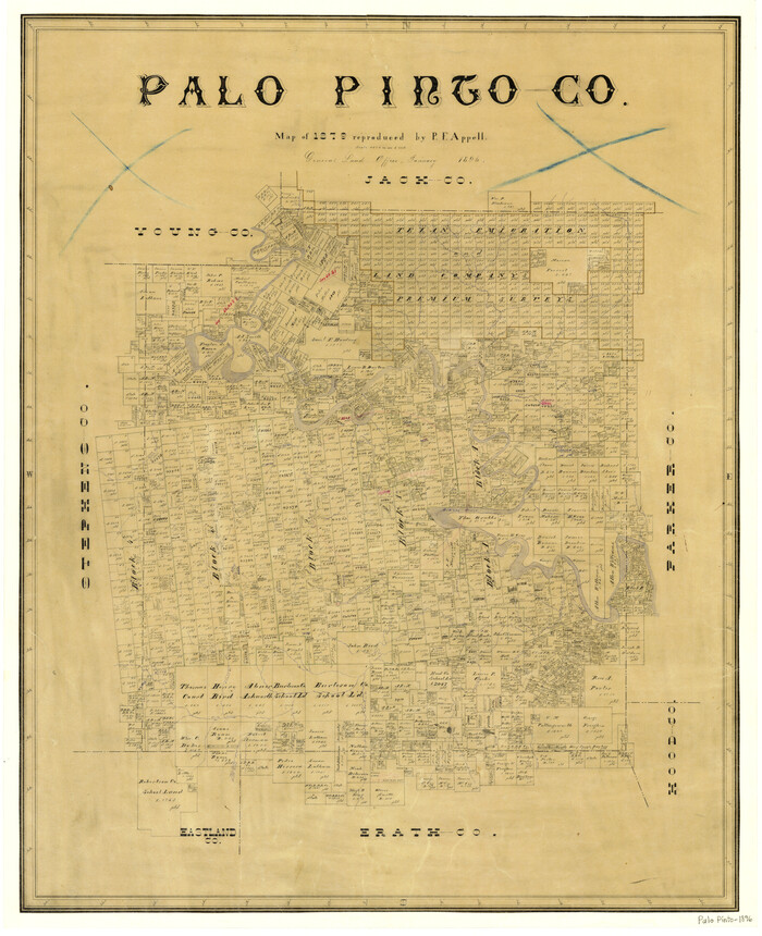
Palo Pinto County
3937.tif
Print $20.00 - Digital $50.00

Palo Pinto County

1896

Size: 27.2 x 22.1 inches
3937
Palo Pinto County
66964-1.tif
Print $20.00 - Digital $50.00

Palo Pinto County

1898

Size: 44.8 x 38.0 inches
66964
Palo Pinto County
66965.tif
Print $20.00 - Digital $50.00

Palo Pinto County

1898

Size: 46.3 x 39.1 inches
66965
Palo Pinto County
66966.tif
Print $40.00 - Digital $50.00

Palo Pinto County

1941

Size: 48.3 x 39.4 inches
66966
Palo Pinto County
73256.tif
Print $40.00 - Digital $50.00

Palo Pinto County

1941

Size: 48.3 x 39.3 inches
73256
Palo Pinto County
77389.tif
Print $20.00 - Digital $50.00

Palo Pinto County

1941

Size: 44.9 x 35.9 inches
77389
Palo Pinto County
78400.tif
Print $20.00 - Digital $50.00

Palo Pinto County

1898

Size: 44.3 x 37.3 inches
78400
Dawson County Sketch File 17
20558, Dawson County Sketch File 17, General Map Collection
Print $18.00 - Digital $50.00

Dawson County Sketch File 17

  • Size

    14.4 x 8.8 inches

  • Map/Doc

    20558

Eastland County Sketch File 14
21595, Eastland County Sketch File 14, General Map Collection
Print $8.00 - Digital $50.00

Eastland County Sketch File 14

  • Size

    11.5 x 9.2 inches

  • Map/Doc

    21595

Eastland County Sketch File 7
21574, Eastland County Sketch File 7, General Map Collection
Print $4.00 - Digital $50.00

Eastland County Sketch File 7

1872

  • Size

    12.6 x 8.5 inches

  • Map/Doc

    21574

  • Creation Date

    1872

Eastland County Working Sketch 5
68786, Eastland County Working Sketch 5, General Map Collection
Print $20.00 - Digital $50.00

Eastland County Working Sketch 5

1918

  • Size

    16.1 x 19.3 inches

  • Map/Doc

    68786

  • Creation Date

    1918

Erath County Rolled Sketch 1
8882, Erath County Rolled Sketch 1, General Map Collection
Print $40.00 - Digital $50.00

Erath County Rolled Sketch 1

1962

  • Size

    69.5 x 41.4 inches

  • Map/Doc

    8882

  • Creation Date

    1962

Erath County Sketch File 2
11463, Erath County Sketch File 2, General Map Collection
Print $20.00 - Digital $50.00

Erath County Sketch File 2

  • Size

    13.2 x 15.5 inches

  • Map/Doc

    11463

Erath County Sketch File 33
22315, Erath County Sketch File 33, General Map Collection
Print $11.00 - Digital $50.00

Erath County Sketch File 33

1962

  • Size

    14.4 x 8.8 inches

  • Map/Doc

    22315

  • Creation Date

    1962

General Highway Map, Palo Pinto County, Texas
79213, General Highway Map, Palo Pinto County, Texas, Texas State Library and Archives
Print $20.00

General Highway Map, Palo Pinto County, Texas

1940

  • Size

    18.2 x 24.6 inches

  • Map/Doc

    79213

  • Creation Date

    1940

General Highway Map, Palo Pinto County, Texas
79623, General Highway Map, Palo Pinto County, Texas, Texas State Library and Archives
Print $20.00

General Highway Map, Palo Pinto County, Texas

1961

  • Size

    18.3 x 24.4 inches

  • Map/Doc

    79623

  • Creation Date

    1961

Gulf, Texas & Western Railway
64441, Gulf, Texas & Western Railway, General Map Collection
Print $40.00 - Digital $50.00

Gulf, Texas & Western Railway

1913

  • Size

    19.8 x 64.7 inches

  • Map/Doc

    64441

  • Creation Date

    1913

Hudspeth County Sketch File 47
27050, Hudspeth County Sketch File 47, General Map Collection
Print $30.00 - Digital $50.00

Hudspeth County Sketch File 47

1978

  • Size

    14.5 x 8.9 inches

  • Map/Doc

    27050

  • Creation Date

    1978

Jack County Sketch File 15
27545, Jack County Sketch File 15, General Map Collection
Print $4.00 - Digital $50.00

Jack County Sketch File 15

1880

  • Size

    7.3 x 13.7 inches

  • Map/Doc

    27545

  • Creation Date

    1880

Jack County Sketch File 4
27506, Jack County Sketch File 4, General Map Collection
Print $4.00 - Digital $50.00

Jack County Sketch File 4

1857

  • Size

    9.0 x 12.7 inches

  • Map/Doc

    27506

  • Creation Date

    1857

Map of Palo Pinto County
16783, Map of Palo Pinto County, General Map Collection
Print $20.00 - Digital $50.00

Map of Palo Pinto County

1898

  • Size

    45.8 x 37.6 inches

  • Map/Doc

    16783

  • Creation Date

    1898

Map of Palo Pinto County Texas
3933, Map of Palo Pinto County Texas, General Map Collection
Print $20.00 - Digital $50.00

Map of Palo Pinto County Texas

1879

  • Size

    22.0 x 17.3 inches

  • Map/Doc

    3933

  • Creation Date

    1879

Map of Palo Pinto County, east of the Brazos River, Robertson - west of it, Milam Land District
3935, Map of Palo Pinto County, east of the Brazos River, Robertson - west of it, Milam Land District, General Map Collection
Print $20.00 - Digital $50.00

Map of Palo Pinto County, east of the Brazos River, Robertson - west of it, Milam Land District

1859

  • Size

    27.4 x 22.3 inches

  • Map/Doc

    3935

  • Creation Date

    1859

Map of the Lands Surveyed by the Memphis, El Paso & Pacific R.R. Company
4850, Map of the Lands Surveyed by the Memphis, El Paso & Pacific R.R. Company, General Map Collection
Print $20.00 - Digital $50.00

Map of the Lands Surveyed by the Memphis, El Paso & Pacific R.R. Company

1859

  • Size

    11.4 x 18.6 inches

  • Map/Doc

    4850

  • Creation Date

    1859

Map of the Recognised Line, M. El. P. & P. RR. from Texas & Arkansas State Line to Milam & Bexar Land District Line
64638, Map of the Recognised Line, M. El. P. & P. RR. from Texas & Arkansas State Line to Milam & Bexar Land District Line, General Map Collection
Print $40.00 - Digital $50.00

Map of the Recognised Line, M. El. P. & P. RR. from Texas & Arkansas State Line to Milam & Bexar Land District Line

  • Size

    15.3 x 89.4 inches

  • Map/Doc

    64638

Map of the Texas & Pacific Railway from Fort Worth to El Paso
64511, Map of the Texas & Pacific Railway from Fort Worth to El Paso, General Map Collection
Print $40.00 - Digital $50.00

Map of the Texas & Pacific Railway from Fort Worth to El Paso

  • Size

    24.0 x 76.5 inches

  • Map/Doc

    64511

Milam [District]
1948, Milam [District], General Map Collection
Print $40.00 - Digital $50.00

Milam [District]

1850

  • Size

    60.8 x 46.4 inches

  • Map/Doc

    1948

  • Creation Date

    1850

Palo Pinto County
1394, Palo Pinto County, General Map Collection
Print $20.00 - Digital $50.00

Palo Pinto County

1856

  • Size

    29.9 x 20.9 inches

  • Map/Doc

    1394

  • Creation Date

    1856

Palo Pinto County
3934, Palo Pinto County, General Map Collection
Print $20.00 - Digital $50.00

Palo Pinto County

1879

  • Size

    24.8 x 18.4 inches

  • Map/Doc

    3934

  • Creation Date

    1879

Palo Pinto County
3936, Palo Pinto County, General Map Collection
Print $20.00 - Digital $50.00

Palo Pinto County

  • Size

    23.7 x 18.6 inches

  • Map/Doc

    3936

Palo Pinto County
3937, Palo Pinto County, General Map Collection
Print $20.00 - Digital $50.00

Palo Pinto County

1896

  • Size

    27.2 x 22.1 inches

  • Map/Doc

    3937

  • Creation Date

    1896

Palo Pinto County
66964, Palo Pinto County, General Map Collection
Print $20.00 - Digital $50.00

Palo Pinto County

1898

  • Size

    44.8 x 38.0 inches

  • Map/Doc

    66964

  • Creation Date

    1898

Palo Pinto County
66965, Palo Pinto County, General Map Collection
Print $20.00 - Digital $50.00

Palo Pinto County

1898

  • Size

    46.3 x 39.1 inches

  • Map/Doc

    66965

  • Creation Date

    1898

Palo Pinto County
66966, Palo Pinto County, General Map Collection
Print $40.00 - Digital $50.00

Palo Pinto County

1941

  • Size

    48.3 x 39.4 inches

  • Map/Doc

    66966

  • Creation Date

    1941

Palo Pinto County
73256, Palo Pinto County, General Map Collection
Print $40.00 - Digital $50.00

Palo Pinto County

1941

  • Size

    48.3 x 39.3 inches

  • Map/Doc

    73256

  • Creation Date

    1941

Palo Pinto County
77389, Palo Pinto County, General Map Collection
Print $20.00 - Digital $50.00

Palo Pinto County

1941

  • Size

    44.9 x 35.9 inches

  • Map/Doc

    77389

  • Creation Date

    1941

Palo Pinto County
78400, Palo Pinto County, General Map Collection
Print $20.00 - Digital $50.00

Palo Pinto County

1898

  • Size

    44.3 x 37.3 inches

  • Map/Doc

    78400

  • Creation Date

    1898