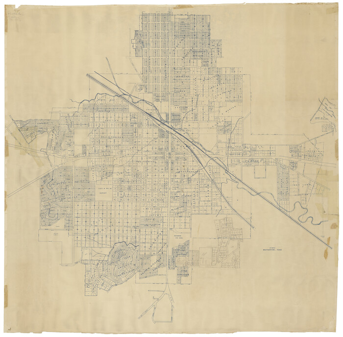
City Map of Weatherford, Texas
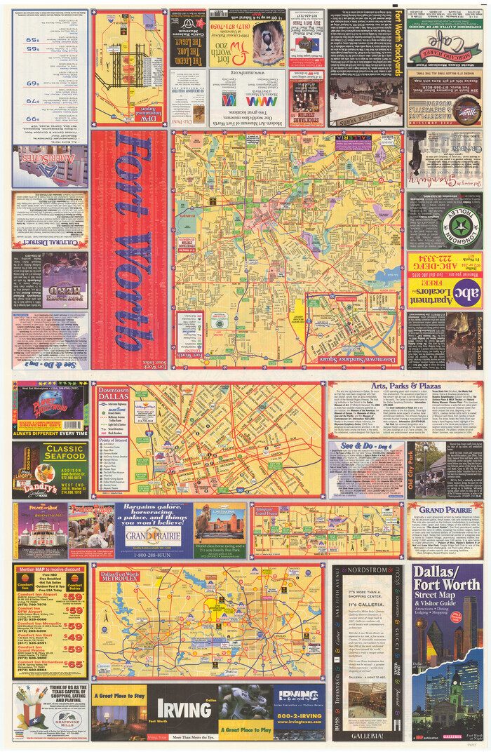
Dallas/Fort Worth Street Map & Visitor Guide
2000

General Highway Map, Parker County, Texas
1940
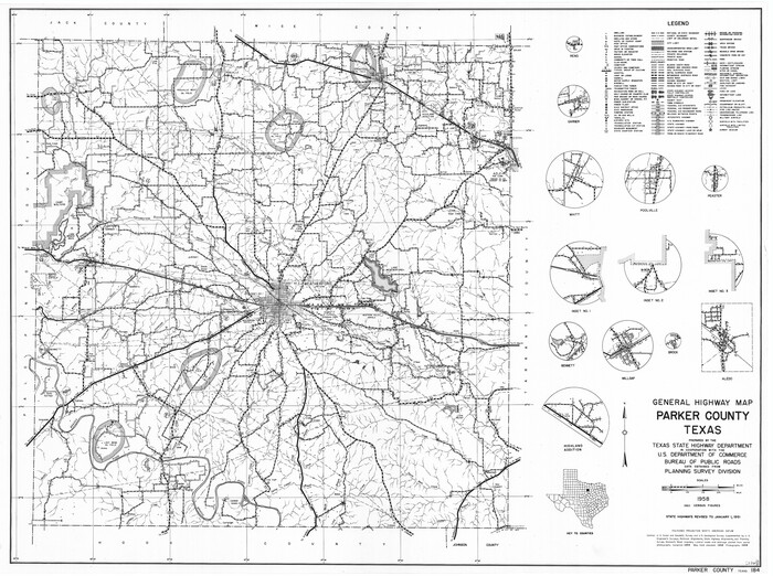
General Highway Map, Parker County, Texas
1961
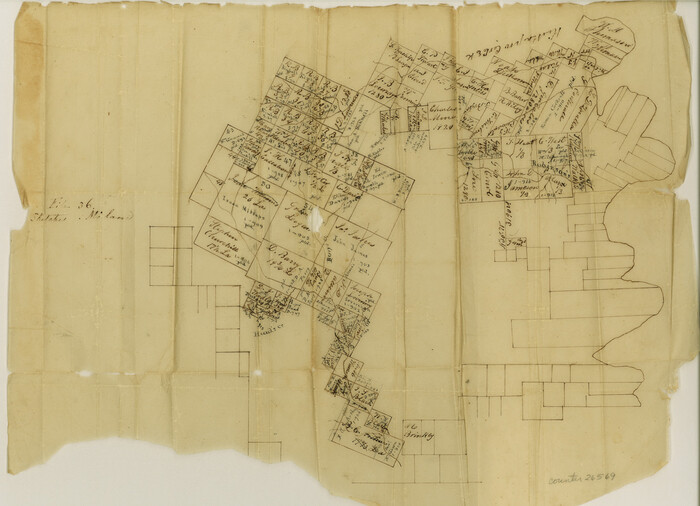
Hood County Sketch File 1

Hood County Sketch File 16
1860
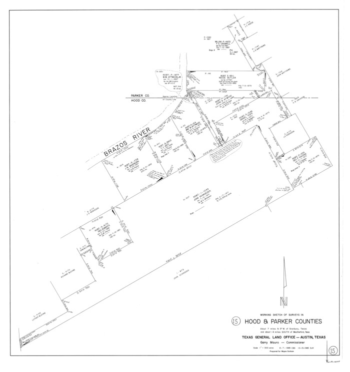
Hood County Working Sketch 15
1985
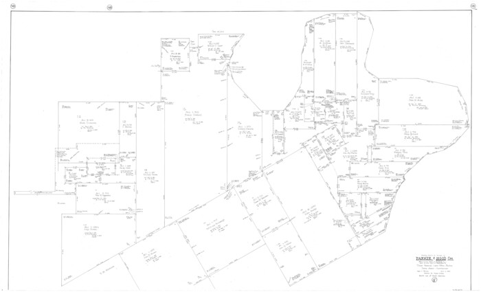
Hood County Working Sketch 16
1987

Johnson County Sketch File 23
1857
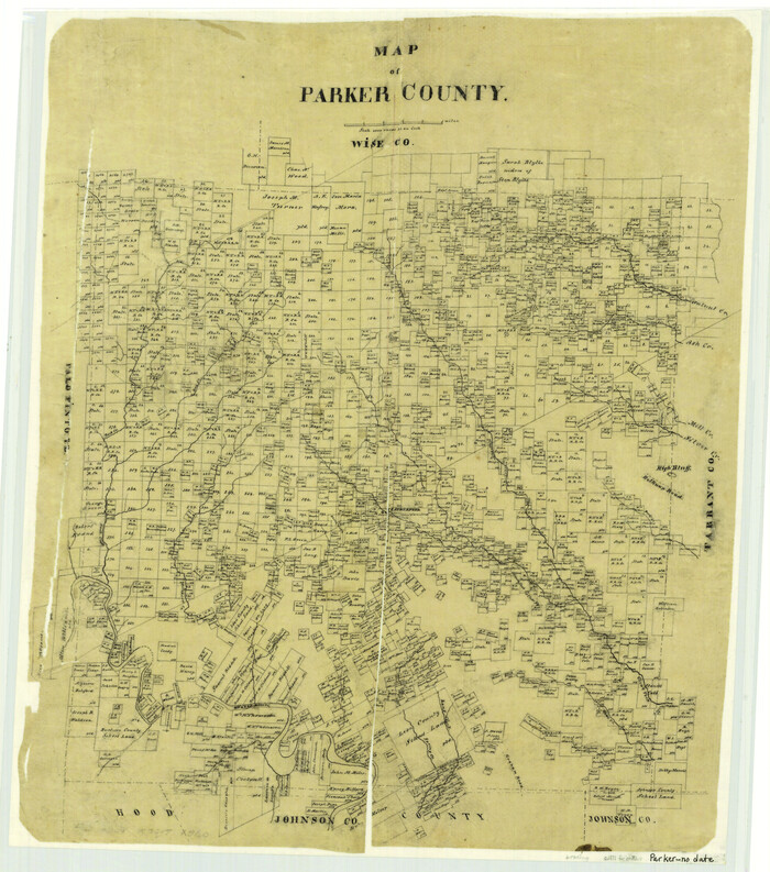
Map of Parker County
1871
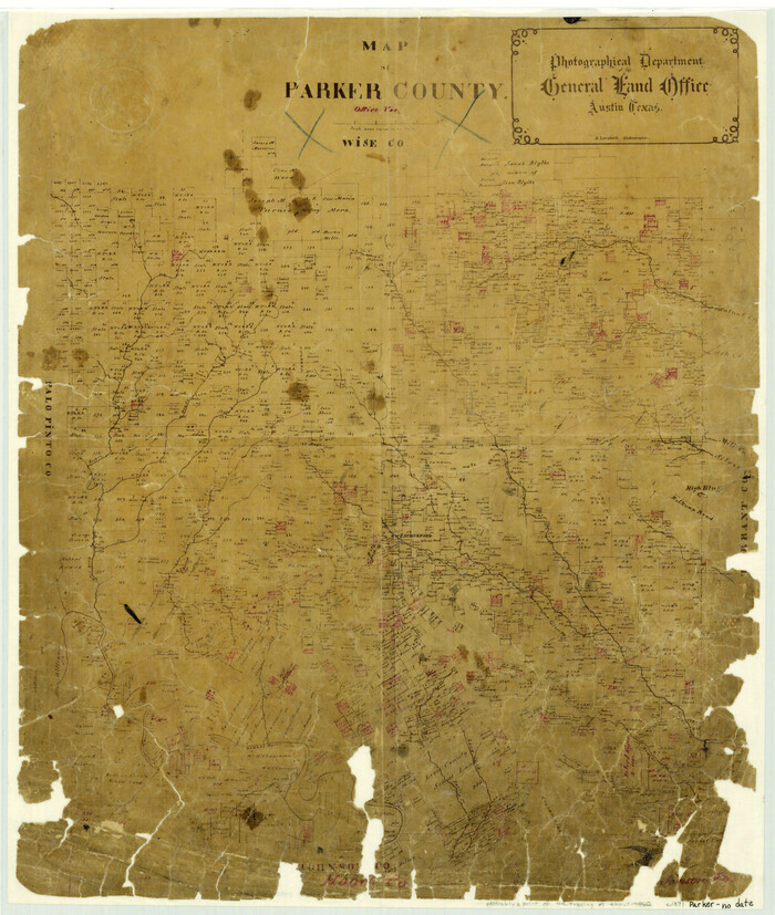
Map of Parker County
1871

Map of Parker County
1860

Map of Parker County
1879
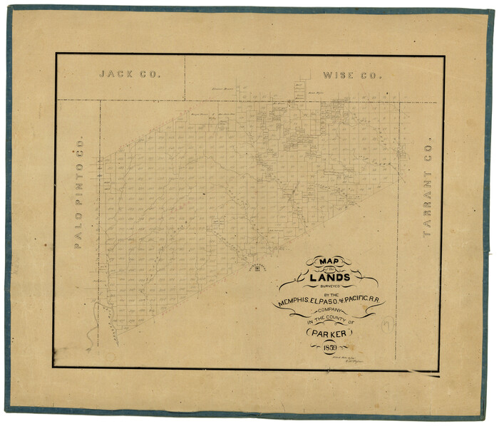
Map of the Lands Surveyed by the Memphis, El Paso & Pacific R.R. Company
1859

Map of the Recognised Line, M. El. P. & P. RR. from Texas & Arkansas State Line to Milam & Bexar Land District Line

Map of the Texas & Pacific Railway from Fort Worth to El Paso

Palo Pinto County Sketch File 7
1870
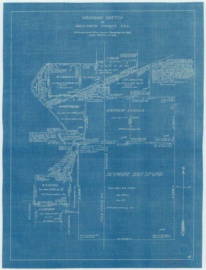
Palo Pinto County Working Sketch 7
1922

City Map of Weatherford, Texas
-
Size
46.0 x 46.8 inches
-
Map/Doc
93697

Dallas/Fort Worth Street Map & Visitor Guide
2000
-
Size
35.6 x 23.2 inches
-
Map/Doc
94295
-
Creation Date
2000

General Highway Map, Parker County, Texas
1940
-
Size
18.3 x 24.7 inches
-
Map/Doc
79215
-
Creation Date
1940

General Highway Map, Parker County, Texas
1961
-
Size
18.3 x 24.5 inches
-
Map/Doc
79625
-
Creation Date
1961

Hood County Sketch File 1
-
Size
11.0 x 15.2 inches
-
Map/Doc
26569

Hood County Sketch File 16
1860
-
Size
10.2 x 8.2 inches
-
Map/Doc
26597
-
Creation Date
1860

Hood County Working Sketch 15
1985
-
Size
30.0 x 28.2 inches
-
Map/Doc
66209
-
Creation Date
1985

Hood County Working Sketch 16
1987
-
Size
45.2 x 71.4 inches
-
Map/Doc
66210
-
Creation Date
1987

Johnson County Sketch File 23
1857
-
Size
8.1 x 12.6 inches
-
Map/Doc
28456
-
Creation Date
1857

Map of Parker County
1871
-
Size
20.9 x 18.4 inches
-
Map/Doc
3942
-
Creation Date
1871

Map of Parker County
1871
-
Size
20.1 x 17.0 inches
-
Map/Doc
3944
-
Creation Date
1871

Map of Parker County
1860
-
Size
24.1 x 19.0 inches
-
Map/Doc
3945
-
Creation Date
1860

Map of Parker County
1879
-
Size
23.9 x 19.0 inches
-
Map/Doc
3947
-
Creation Date
1879

Map of the Lands Surveyed by the Memphis, El Paso & Pacific R.R. Company
1859
-
Size
19.7 x 23.3 inches
-
Map/Doc
4847
-
Creation Date
1859

Map of the Recognised Line, M. El. P. & P. RR. from Texas & Arkansas State Line to Milam & Bexar Land District Line
-
Size
15.3 x 89.4 inches
-
Map/Doc
64638

Map of the Texas & Pacific Railway from Fort Worth to El Paso
-
Size
24.0 x 76.5 inches
-
Map/Doc
64511
![1948, Milam [District], General Map Collection](https://historictexasmaps.com/wmedia_w700/maps/1948.tif.jpg)
Milam [District]
1850
-
Size
60.8 x 46.4 inches
-
Map/Doc
1948
-
Creation Date
1850

Palo Pinto County Sketch File 7
1870
-
Size
13.0 x 8.2 inches
-
Map/Doc
33398
-
Creation Date
1870

Palo Pinto County Working Sketch 7
1922
-
Map/Doc
71390
-
Creation Date
1922

Parker Co.
1889
-
Size
40.3 x 36.5 inches
-
Map/Doc
5081
-
Creation Date
1889
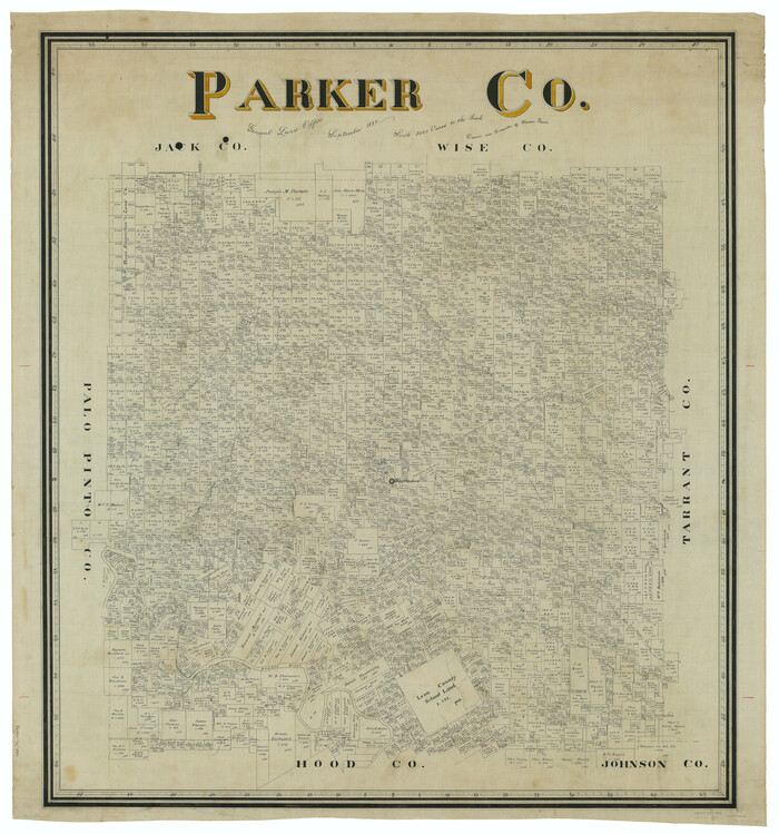
Parker Co.
1889
-
Size
42.9 x 39.6 inches
-
Map/Doc
66970
-
Creation Date
1889
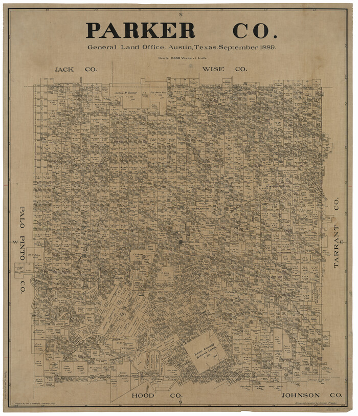
Parker Co.
1889
-
Size
41.0 x 35.4 inches
-
Map/Doc
66971
-
Creation Date
1889

Parker Co.
1889
-
Size
41.4 x 37.8 inches
-
Map/Doc
78427
-
Creation Date
1889
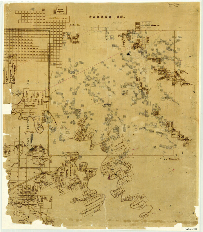
Parker County
1856
-
Size
26.1 x 22.9 inches
-
Map/Doc
3946
-
Creation Date
1856
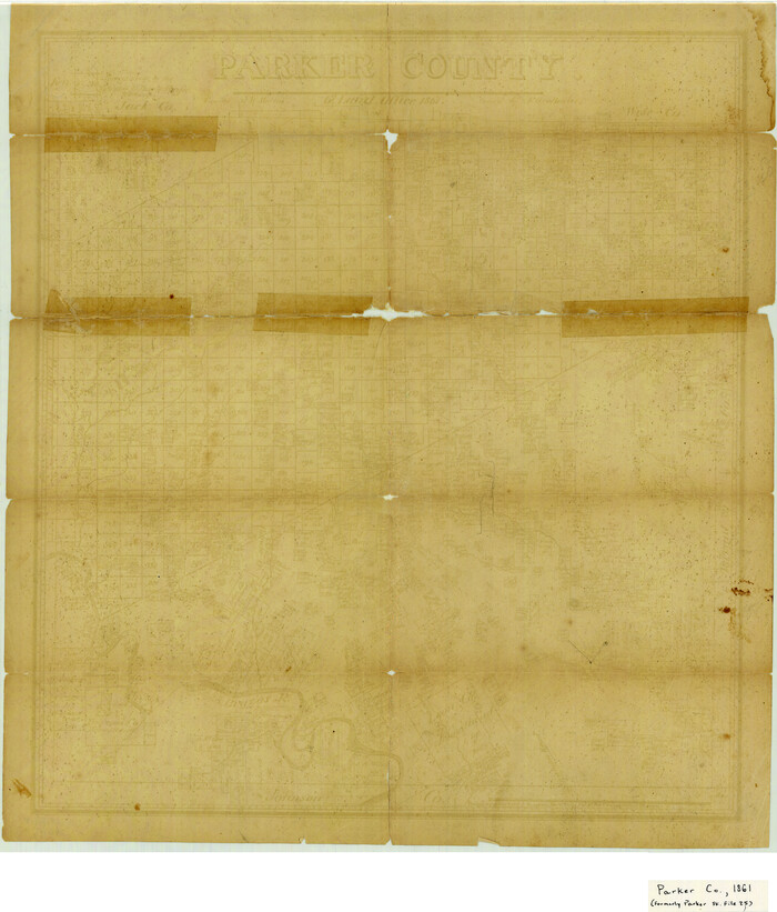
Parker County
1861
-
Size
19.4 x 16.5 inches
-
Map/Doc
4611
-
Creation Date
1861

Parker County
1889
-
Size
32.2 x 42.7 inches
-
Map/Doc
493
-
Creation Date
1889
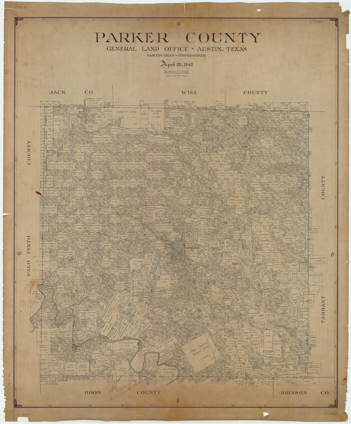
Parker County
1942
-
Size
45.7 x 37.8 inches
-
Map/Doc
66972
-
Creation Date
1942

Parker County
1942
-
Size
46.7 x 37.9 inches
-
Map/Doc
73258
-
Creation Date
1942
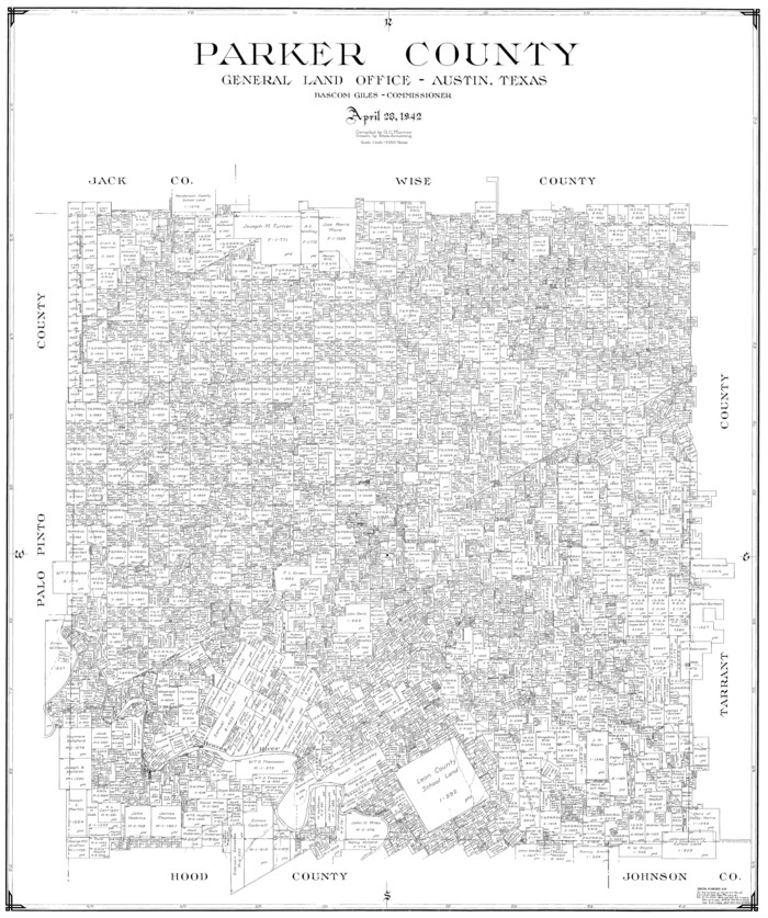
Parker County
1942
-
Size
42.4 x 35.5 inches
-
Map/Doc
77391
-
Creation Date
1942
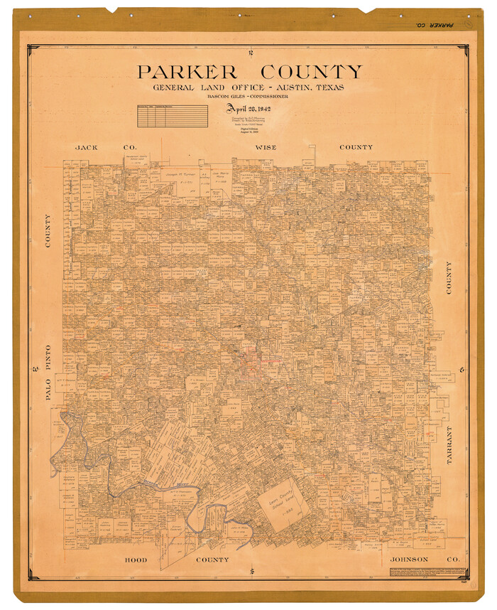
Parker County
1942
-
Size
47.7 x 38.9 inches
-
Map/Doc
95609
-
Creation Date
1942