
Tarrant County Sketch File 31

Parker County Sketch File 10
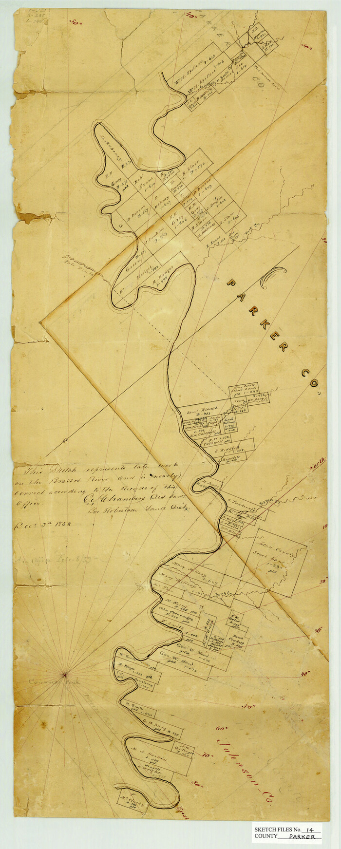
Parker County Sketch File 14
1853

Parker County Sketch File 15A
1875

Parker County Sketch File 23
1876

Parker County Sketch File 27
1876
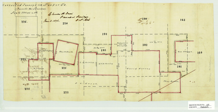
Parker County Sketch File 29
1876
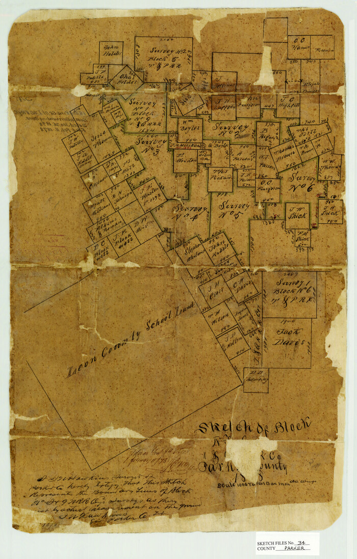
Parker County Sketch File 34
1878

Parker County Sketch File 38

Parker County Sketch File 47
1857

Parker County Sketch File 48
1858

Wise County Sketch File F
1857

Sketch showing the Connnecting Lines run by Olliver Hedgcoxe for the Texan Emigration and Land Company connecting their Surveys made by them in Peters' Colony, Texas
1854
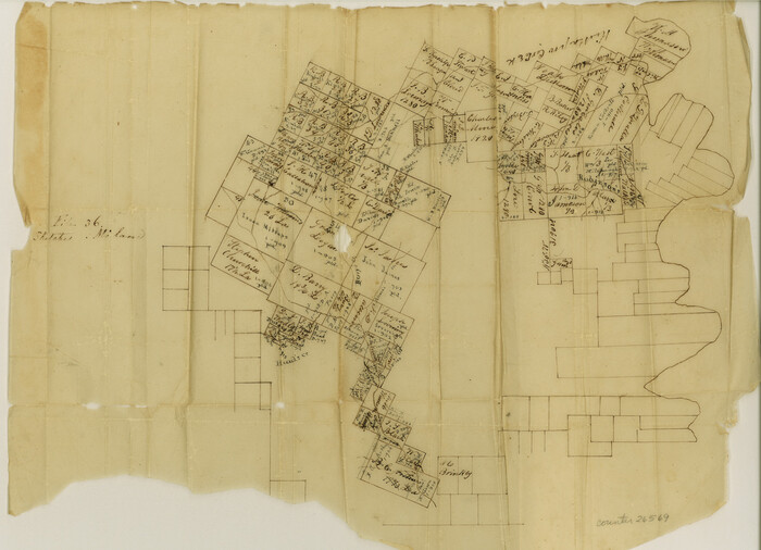
Hood County Sketch File 1

Hood County Sketch File 16
1860

Johnson County Sketch File 23
1857

Palo Pinto County Sketch File 7
1870
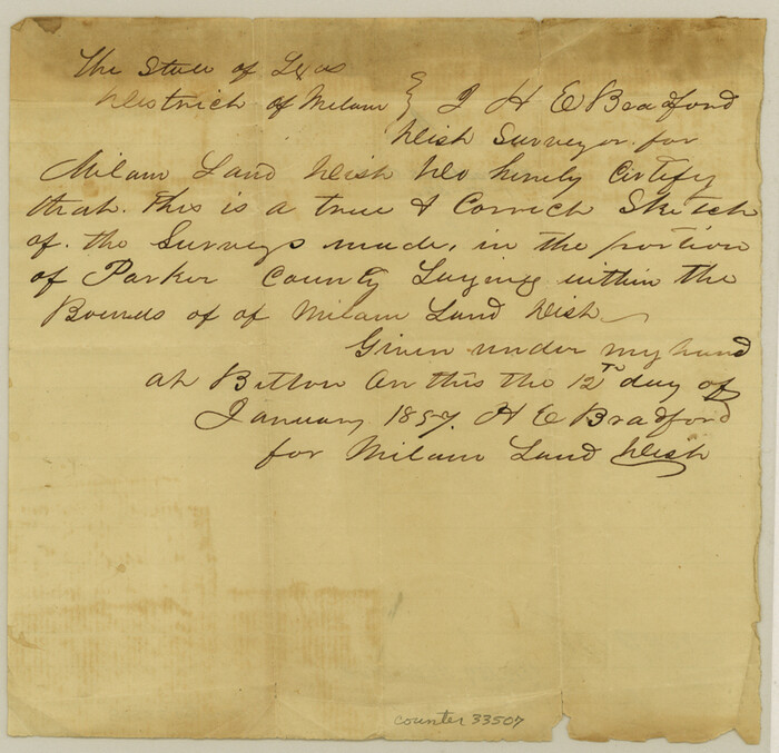
Parker County Sketch File A
1857
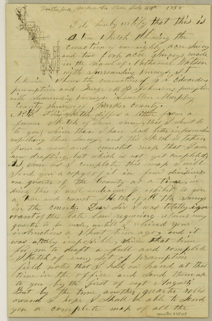
Parker County Sketch File B
1858

Parker County Sketch File C
1857

Parker County Sketch File D

Parker County Sketch File 1
Parker County Sketch File 1a
1859

Parker County Sketch File 2
1856
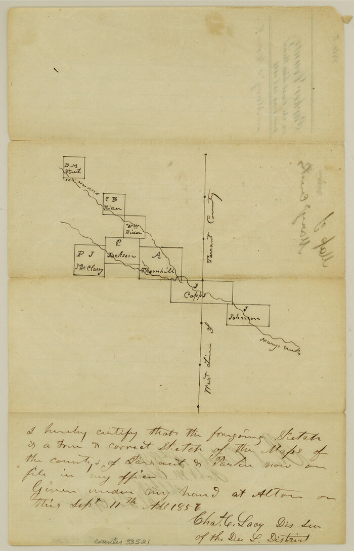
Parker County Sketch File 3
1856

Parker County Sketch File 3a
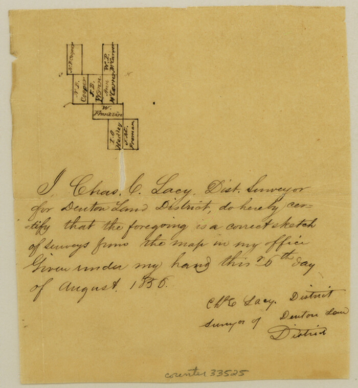
Parker County Sketch File 4
1856
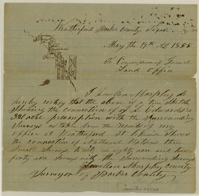
Parker County Sketch File 5
1858
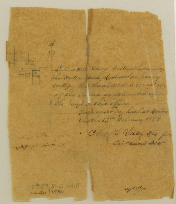
Parker County Sketch File 6
1858

Tarrant County Sketch File 31
-
Size
27.2 x 39.3 inches
-
Map/Doc
10380

Parker County Sketch File 10
-
Size
43.5 x 37.8 inches
-
Map/Doc
10567

Parker County Sketch File 14
1853
-
Size
25.6 x 10.3 inches
-
Map/Doc
12143
-
Creation Date
1853

Parker County Sketch File 15A
1875
-
Size
28.5 x 13.6 inches
-
Map/Doc
12144
-
Creation Date
1875

Parker County Sketch File 23
1876
-
Size
18.8 x 22.8 inches
-
Map/Doc
12145
-
Creation Date
1876

Parker County Sketch File 27
1876
-
Size
23.7 x 23.8 inches
-
Map/Doc
12146
-
Creation Date
1876

Parker County Sketch File 29
1876
-
Size
10.1 x 19.7 inches
-
Map/Doc
12147
-
Creation Date
1876

Parker County Sketch File 34
1878
-
Size
21.3 x 13.6 inches
-
Map/Doc
12148
-
Creation Date
1878

Parker County Sketch File 38
-
Size
21.7 x 13.3 inches
-
Map/Doc
12149

Parker County Sketch File 47
1857
-
Size
16.4 x 34.7 inches
-
Map/Doc
12151
-
Creation Date
1857

Parker County Sketch File 48
1858
-
Size
17.6 x 22.3 inches
-
Map/Doc
12152
-
Creation Date
1858

Wise County Sketch File F
1857
-
Size
16.2 x 29.2 inches
-
Map/Doc
12704
-
Creation Date
1857
![1948, Milam [District], General Map Collection](https://historictexasmaps.com/wmedia_w700/maps/1948.tif.jpg)
Milam [District]
1850
-
Size
60.8 x 46.4 inches
-
Map/Doc
1948
-
Creation Date
1850

Sketch showing the Connnecting Lines run by Olliver Hedgcoxe for the Texan Emigration and Land Company connecting their Surveys made by them in Peters' Colony, Texas
1854
-
Size
45.8 x 61.9 inches
-
Map/Doc
1969
-
Creation Date
1854

Hood County Sketch File 1
-
Size
11.0 x 15.2 inches
-
Map/Doc
26569

Hood County Sketch File 16
1860
-
Size
10.2 x 8.2 inches
-
Map/Doc
26597
-
Creation Date
1860

Johnson County Sketch File 23
1857
-
Size
8.1 x 12.6 inches
-
Map/Doc
28456
-
Creation Date
1857

Palo Pinto County Sketch File 7
1870
-
Size
13.0 x 8.2 inches
-
Map/Doc
33398
-
Creation Date
1870

Parker County Sketch File A
1857
-
Size
7.9 x 8.2 inches
-
Map/Doc
33507
-
Creation Date
1857

Parker County Sketch File B
1858
-
Size
12.5 x 8.2 inches
-
Map/Doc
33509
-
Creation Date
1858

Parker County Sketch File C
1857
-
Size
6.1 x 7.8 inches
-
Map/Doc
33512
-
Creation Date
1857

Parker County Sketch File D
-
Size
9.9 x 8.2 inches
-
Map/Doc
33514

Parker County Sketch File 1
-
Size
8.5 x 10.4 inches
-
Map/Doc
33516

Parker County Sketch File 1a
1859
-
Size
8.6 x 5.5 inches
-
Map/Doc
33518
-
Creation Date
1859

Parker County Sketch File 2
1856
-
Size
12.7 x 8.2 inches
-
Map/Doc
33519
-
Creation Date
1856

Parker County Sketch File 3
1856
-
Size
12.2 x 7.9 inches
-
Map/Doc
33521
-
Creation Date
1856

Parker County Sketch File 3a
-
Size
12.7 x 12.8 inches
-
Map/Doc
33523

Parker County Sketch File 4
1856
-
Size
6.2 x 5.8 inches
-
Map/Doc
33525
-
Creation Date
1856

Parker County Sketch File 5
1858
-
Size
8.1 x 8.2 inches
-
Map/Doc
33528
-
Creation Date
1858

Parker County Sketch File 6
1858
-
Size
6.9 x 6.0 inches
-
Map/Doc
33530
-
Creation Date
1858