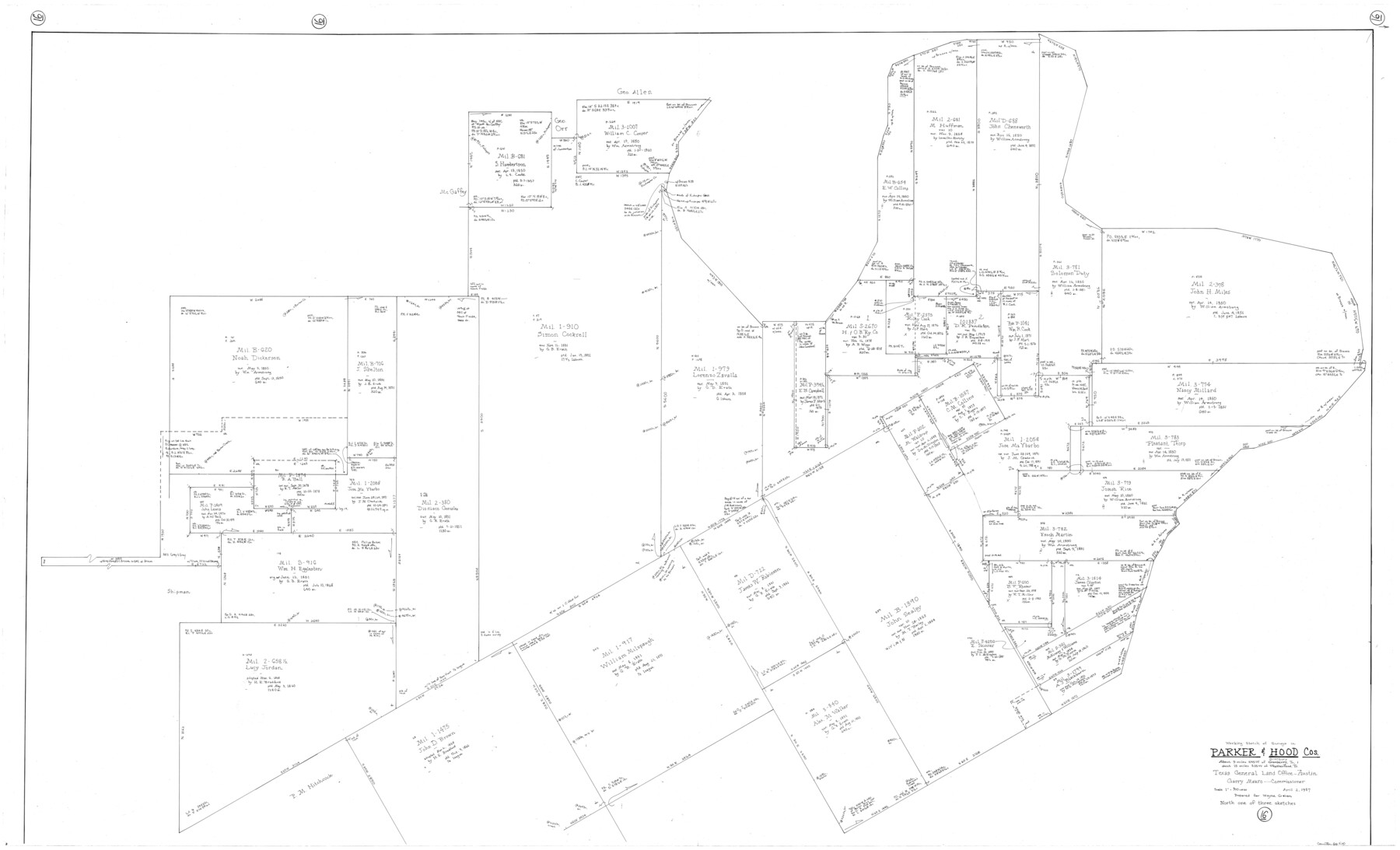
Hood County Working Sketch 16
-
Map/Doc
66210
-
Collection
General Map Collection
-
Object Dates
4/2/1987 (Creation Date)
-
People and Organizations
Joan Kilpatrick (Draftsman)
-
Counties
Hood Parker
-
Subjects
Surveying Working Sketch
-
Height x Width
45.2 x 71.4 inches
114.8 x 181.4 cm
-
Scale
1" = 300 varas
Part of: General Map Collection
Brewster County Rolled Sketch 114


Print $20.00
- Digital $50.00
Brewster County Rolled Sketch 114
1964
Size 11.9 x 18.4 inches
Map/Doc 5279
Ward County Rolled Sketch 24C

Print $40.00
- Digital $50.00
Ward County Rolled Sketch 24C
1967
Size 54.8 x 24.4 inches
Map/Doc 10114
Presidio County Working Sketch 121b


Print $20.00
- Digital $50.00
Presidio County Working Sketch 121b
1984
Size 36.0 x 41.5 inches
Map/Doc 71799
Kerr County Working Sketch 10

Print $20.00
- Digital $50.00
Kerr County Working Sketch 10
1951
Size 22.3 x 16.0 inches
Map/Doc 70041
Flight Mission No. DQO-3K, Frame 16, Galveston County

Print $20.00
- Digital $50.00
Flight Mission No. DQO-3K, Frame 16, Galveston County
1952
Size 18.9 x 22.5 inches
Map/Doc 85057
Flight Mission No. BRE-2P, Frame 46, Nueces County

Print $20.00
- Digital $50.00
Flight Mission No. BRE-2P, Frame 46, Nueces County
1956
Size 18.7 x 22.7 inches
Map/Doc 86748
Sketch exhibiting the San Antonio River from the source to the fork of Goliad


Print $20.00
- Digital $50.00
Sketch exhibiting the San Antonio River from the source to the fork of Goliad
Size 27.5 x 16.6 inches
Map/Doc 73009
Hardin County Sketch File 2


Print $7.00
- Digital $50.00
Hardin County Sketch File 2
Size 12.7 x 8.4 inches
Map/Doc 25083
Wichita County Sketch File 35


Print $8.00
- Digital $50.00
Wichita County Sketch File 35
1950
Size 14.3 x 8.5 inches
Map/Doc 40157
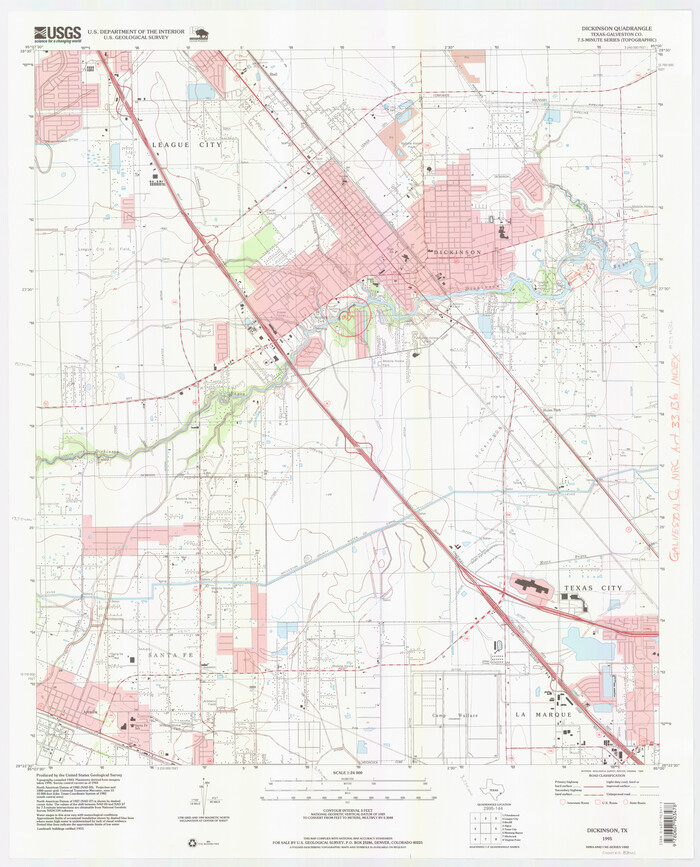
Galveston County NRC Article 33.136 Location Key Sheet

Print $20.00
- Digital $50.00
Galveston County NRC Article 33.136 Location Key Sheet
1995
Size 27.0 x 22.0 inches
Map/Doc 83001
Stephens County Sketch File 9


Print $42.00
- Digital $50.00
Stephens County Sketch File 9
Size 8.2 x 5.5 inches
Map/Doc 37029
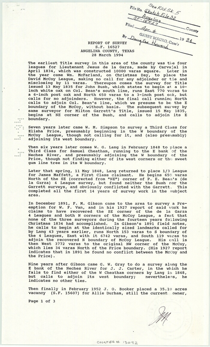
Angelina County Sketch File 32

Print $18.00
- Digital $50.00
Angelina County Sketch File 32
1994
Size 14.2 x 8.6 inches
Map/Doc 13092
You may also like
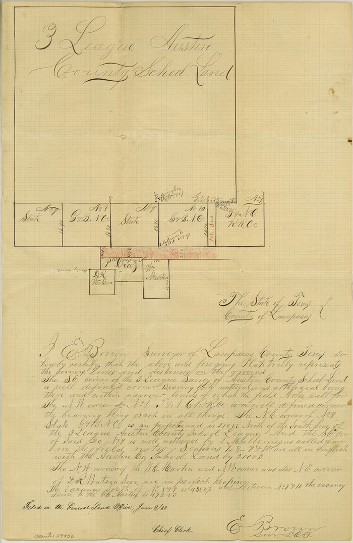
Lampasas County Sketch File 14

Print $6.00
- Digital $50.00
Lampasas County Sketch File 14
Size 16.2 x 10.5 inches
Map/Doc 29426
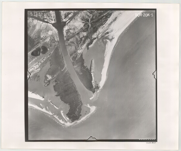
Flight Mission No. BQR-20K, Frame 5, Brazoria County

Print $20.00
- Digital $50.00
Flight Mission No. BQR-20K, Frame 5, Brazoria County
1952
Size 18.6 x 22.3 inches
Map/Doc 84107
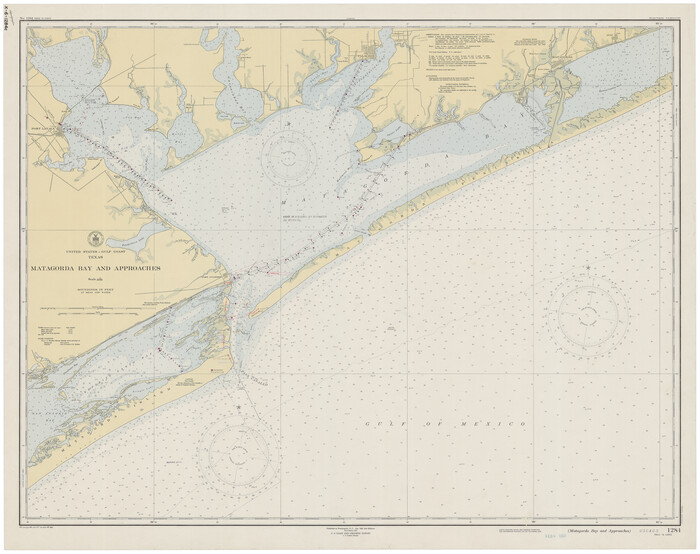
Matagorda Bay and Approaches

Print $20.00
- Digital $50.00
Matagorda Bay and Approaches
1948
Size 35.3 x 45.0 inches
Map/Doc 73380
Coryell County Sketch File 10

Print $6.00
- Digital $50.00
Coryell County Sketch File 10
1861
Size 8.6 x 7.2 inches
Map/Doc 19361
Armstrong County Sketch File 4a


Print $4.00
- Digital $50.00
Armstrong County Sketch File 4a
1883
Size 14.3 x 8.9 inches
Map/Doc 13687
The Republic County of Harris. January 25, 1840


Print $20.00
The Republic County of Harris. January 25, 1840
2020
Size 17.7 x 21.7 inches
Map/Doc 96165
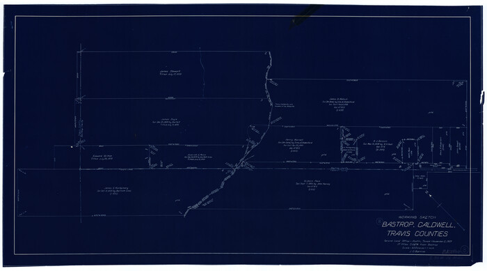
Bastrop County Working Sketch 8

Print $20.00
- Digital $50.00
Bastrop County Working Sketch 8
1937
Size 23.9 x 43.1 inches
Map/Doc 67308
Tom Green County Sketch File 65
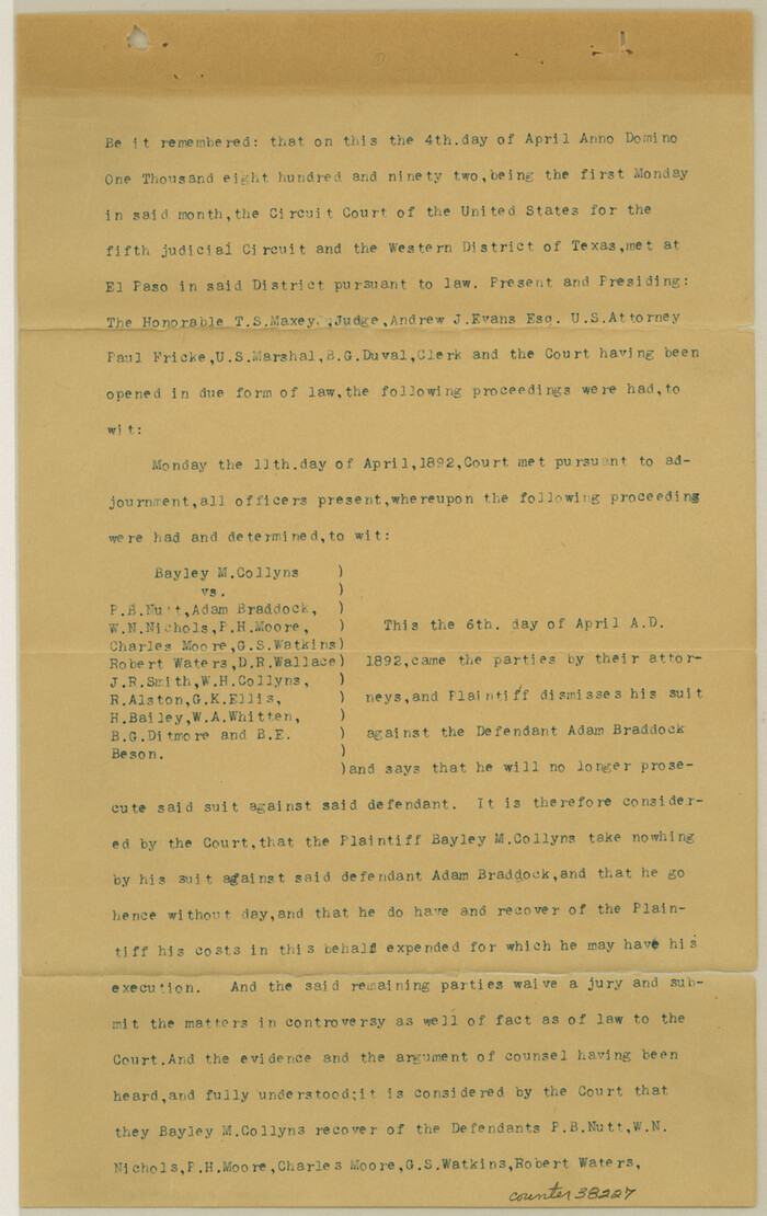

Print $18.00
- Digital $50.00
Tom Green County Sketch File 65
1892
Size 13.3 x 8.4 inches
Map/Doc 38227
[Worksheets related to the Wilson Strickland survey and vicinity]
![91391, [Worksheets related to the Wilson Strickland survey and vicinity], Twichell Survey Records](https://historictexasmaps.com/wmedia_w700/maps/91391-1.tif.jpg)
![91391, [Worksheets related to the Wilson Strickland survey and vicinity], Twichell Survey Records](https://historictexasmaps.com/wmedia_w700/maps/91391-1.tif.jpg)
Print $20.00
- Digital $50.00
[Worksheets related to the Wilson Strickland survey and vicinity]
Size 42.8 x 19.6 inches
Map/Doc 91391
Cameron County Rolled Sketch Z7
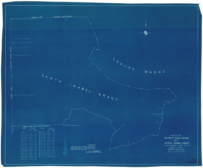

Print $20.00
- Digital $50.00
Cameron County Rolled Sketch Z7
1937
Size 28.3 x 34.1 inches
Map/Doc 5405
Red River County Sketch File 12
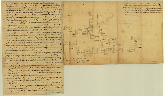

Print $40.00
- Digital $50.00
Red River County Sketch File 12
Size 12.5 x 21.5 inches
Map/Doc 35129
Lampasas County Working Sketch 13


Print $20.00
- Digital $50.00
Lampasas County Working Sketch 13
1973
Size 34.4 x 27.7 inches
Map/Doc 70290
