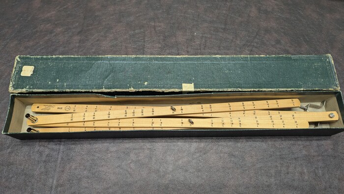
[Worksheets related to the Wilson Strickland survey and vicinity]
170-14
-
Map/Doc
91391
-
Collection
Twichell Survey Records
-
Counties
Montgomery
-
Height x Width
42.8 x 19.6 inches
108.7 x 49.8 cm
-
Comments
One of 17 worksheets. To view all sheets, click here.
Related maps
[Worksheets related to the Wilson Strickland survey and vicinity]
![89714, [Vicinity and related to the Wilson Strickland Survey], Twichell Survey Records](https://historictexasmaps.com/wmedia_w700/maps/89714-1.tif.jpg)
![89714, [Vicinity and related to the Wilson Strickland Survey], Twichell Survey Records](https://historictexasmaps.com/wmedia_w700/maps/89714-1.tif.jpg)
Print $20.00
- Digital $50.00
[Worksheets related to the Wilson Strickland survey and vicinity]
Size 40.9 x 43.1 inches
Map/Doc 89714
[Worksheets related to the Wilson Strickland survey and vicinity]
![89715, [Vicinity and related to the Wilson Strickland Survey], Twichell Survey Records](https://historictexasmaps.com/wmedia_w700/maps/89715-1.tif.jpg)
![89715, [Vicinity and related to the Wilson Strickland Survey], Twichell Survey Records](https://historictexasmaps.com/wmedia_w700/maps/89715-1.tif.jpg)
Print $20.00
- Digital $50.00
[Worksheets related to the Wilson Strickland survey and vicinity]
Size 34.7 x 43.0 inches
Map/Doc 89715
[Worksheets related to the Wilson Strickland survey and vicinity]
![91265, [Vicinity and related to the Wilson Strickland Survey], Twichell Survey Records](https://historictexasmaps.com/wmedia_w700/maps/91265-1.tif.jpg)
![91265, [Vicinity and related to the Wilson Strickland Survey], Twichell Survey Records](https://historictexasmaps.com/wmedia_w700/maps/91265-1.tif.jpg)
Print $20.00
- Digital $50.00
[Worksheets related to the Wilson Strickland survey and vicinity]
Size 39.0 x 11.6 inches
Map/Doc 91265
[Worksheets related to the Wilson Strickland survey and vicinity]
![91266, [Vicinity and related to the Wilson Strickland Survey], Twichell Survey Records](https://historictexasmaps.com/wmedia_w700/maps/91266-1.tif.jpg)
![91266, [Vicinity and related to the Wilson Strickland Survey], Twichell Survey Records](https://historictexasmaps.com/wmedia_w700/maps/91266-1.tif.jpg)
Print $20.00
- Digital $50.00
[Worksheets related to the Wilson Strickland survey and vicinity]
Size 35.8 x 17.5 inches
Map/Doc 91266
[Worksheets related to the Wilson Strickland survey and vicinity]
![91267, [Vicinity and related to the Wilson Strickland Survey], Twichell Survey Records](https://historictexasmaps.com/wmedia_w700/maps/91267-1.tif.jpg)
![91267, [Vicinity and related to the Wilson Strickland Survey], Twichell Survey Records](https://historictexasmaps.com/wmedia_w700/maps/91267-1.tif.jpg)
Print $20.00
- Digital $50.00
[Worksheets related to the Wilson Strickland survey and vicinity]
Size 21.7 x 19.4 inches
Map/Doc 91267
[Worksheets related to the Wilson Strickland survey and vicinity]
![91268, [Vicinity and related to the Wilson Strickland Survey], Twichell Survey Records](https://historictexasmaps.com/wmedia_w700/maps/91268-1.tif.jpg)
![91268, [Vicinity and related to the Wilson Strickland Survey], Twichell Survey Records](https://historictexasmaps.com/wmedia_w700/maps/91268-1.tif.jpg)
Print $20.00
- Digital $50.00
[Worksheets related to the Wilson Strickland survey and vicinity]
Size 21.1 x 18.9 inches
Map/Doc 91268
[Worksheets related to the Wilson Strickland survey and vicinity]
![91269, [Worksheets related to the Wilson Strickland survey and vicinity], Twichell Survey Records](https://historictexasmaps.com/wmedia_w700/maps/91269.tif.jpg)
![91269, [Worksheets related to the Wilson Strickland survey and vicinity], Twichell Survey Records](https://historictexasmaps.com/wmedia_w700/maps/91269.tif.jpg)
Print $20.00
- Digital $50.00
[Worksheets related to the Wilson Strickland survey and vicinity]
Size 25.7 x 21.7 inches
Map/Doc 91269
[Worksheets related to the Wilson Strickland survey and vicinity]
![91281, [Worksheets related to the Wilson Strickland survey and vicinity], Twichell Survey Records](https://historictexasmaps.com/wmedia_w700/maps/91281-1.tif.jpg)
![91281, [Worksheets related to the Wilson Strickland survey and vicinity], Twichell Survey Records](https://historictexasmaps.com/wmedia_w700/maps/91281-1.tif.jpg)
Print $20.00
- Digital $50.00
[Worksheets related to the Wilson Strickland survey and vicinity]
Size 22.6 x 10.2 inches
Map/Doc 91281
[Worksheets related to the Wilson Strickland survey and vicinity]
![91282, [Worksheets related to the Wilson Strickland survey and vicinity], Twichell Survey Records](https://historictexasmaps.com/wmedia_w700/maps/91282-1.tif.jpg)
![91282, [Worksheets related to the Wilson Strickland survey and vicinity], Twichell Survey Records](https://historictexasmaps.com/wmedia_w700/maps/91282-1.tif.jpg)
Print $20.00
- Digital $50.00
[Worksheets related to the Wilson Strickland survey and vicinity]
Size 7.9 x 24.3 inches
Map/Doc 91282
[Worksheets related to the Wilson Strickland survey and vicinity]
![91283, [Worksheets related to the Wilson Strickland survey and vicinity], Twichell Survey Records](https://historictexasmaps.com/wmedia_w700/maps/91283-1.tif.jpg)
![91283, [Worksheets related to the Wilson Strickland survey and vicinity], Twichell Survey Records](https://historictexasmaps.com/wmedia_w700/maps/91283-1.tif.jpg)
Print $20.00
- Digital $50.00
[Worksheets related to the Wilson Strickland survey and vicinity]
Size 9.9 x 29.7 inches
Map/Doc 91283
[Worksheets related to the Wilson Strickland survey and vicinity]
![91302, [Worksheets related to the Wilson Strickland survey and vicinity], Twichell Survey Records](https://historictexasmaps.com/wmedia_w700/maps/91302-1.tif.jpg)
![91302, [Worksheets related to the Wilson Strickland survey and vicinity], Twichell Survey Records](https://historictexasmaps.com/wmedia_w700/maps/91302-1.tif.jpg)
Print $20.00
- Digital $50.00
[Worksheets related to the Wilson Strickland survey and vicinity]
Size 22.0 x 25.6 inches
Map/Doc 91302
[Worksheets related to the Wilson Strickland survey and vicinity]
![91349, [Worksheets related to the Wilson Strickland survey and vicinity], Twichell Survey Records](https://historictexasmaps.com/wmedia_w700/maps/91349-1.tif.jpg)
![91349, [Worksheets related to the Wilson Strickland survey and vicinity], Twichell Survey Records](https://historictexasmaps.com/wmedia_w700/maps/91349-1.tif.jpg)
Print $20.00
- Digital $50.00
[Worksheets related to the Wilson Strickland survey and vicinity]
Size 22.9 x 13.8 inches
Map/Doc 91349
[Worksheets related to the Wilson Strickland survey and vicinity]
![91350, [Worksheets related to the Wilson Strickland survey and vicinity], Twichell Survey Records](https://historictexasmaps.com/wmedia_w700/maps/91350-1.tif.jpg)
![91350, [Worksheets related to the Wilson Strickland survey and vicinity], Twichell Survey Records](https://historictexasmaps.com/wmedia_w700/maps/91350-1.tif.jpg)
Print $20.00
- Digital $50.00
[Worksheets related to the Wilson Strickland survey and vicinity]
Size 29.6 x 43.6 inches
Map/Doc 91350
[Worksheets related to the Wilson Strickland survey and vicinity]
![91381, [Worksheets related to the Wilson Strickland survey and vicinity], Twichell Survey Records](https://historictexasmaps.com/wmedia_w700/maps/91381-1.tif.jpg)
![91381, [Worksheets related to the Wilson Strickland survey and vicinity], Twichell Survey Records](https://historictexasmaps.com/wmedia_w700/maps/91381-1.tif.jpg)
Print $20.00
- Digital $50.00
[Worksheets related to the Wilson Strickland survey and vicinity]
Size 20.1 x 24.8 inches
Map/Doc 91381
[Worksheets related to the Wilson Strickland survey and vicinity]
![91383, [Worksheets related to the Wilson Strickland survey and vicinity], Twichell Survey Records](https://historictexasmaps.com/wmedia_w700/maps/91383-1.tif.jpg)
![91383, [Worksheets related to the Wilson Strickland survey and vicinity], Twichell Survey Records](https://historictexasmaps.com/wmedia_w700/maps/91383-1.tif.jpg)
Print $20.00
- Digital $50.00
[Worksheets related to the Wilson Strickland survey and vicinity]
Size 36.0 x 15.7 inches
Map/Doc 91383
[Worksheets related to the Wilson Strickland survey and vicinity]
![91384, [Worksheets related to the Wilson Strickland survey and vicinity], Twichell Survey Records](https://historictexasmaps.com/wmedia_w700/maps/91384-1.tif.jpg)
![91384, [Worksheets related to the Wilson Strickland survey and vicinity], Twichell Survey Records](https://historictexasmaps.com/wmedia_w700/maps/91384-1.tif.jpg)
Print $20.00
- Digital $50.00
[Worksheets related to the Wilson Strickland survey and vicinity]
Size 23.6 x 28.0 inches
Map/Doc 91384
Part of: Twichell Survey Records
[Wilson Strickland Survey]
![91285, [Wilson Strickland Survey], Twichell Survey Records](https://historictexasmaps.com/wmedia_w700/maps/91285-1.tif.jpg)
![91285, [Wilson Strickland Survey], Twichell Survey Records](https://historictexasmaps.com/wmedia_w700/maps/91285-1.tif.jpg)
Print $20.00
- Digital $50.00
[Wilson Strickland Survey]
Size 12.7 x 19.2 inches
Map/Doc 91285
Rhyne Simpson Addition City of Lubbock Section 3, Block O


Print $20.00
- Digital $50.00
Rhyne Simpson Addition City of Lubbock Section 3, Block O
1951
Size 18.2 x 23.4 inches
Map/Doc 92845
[Sketch of Blks. 2, 2B, 3B]
![89638, [Sketch of Blks. 2, 2B, 3B], Twichell Survey Records](https://historictexasmaps.com/wmedia_w700/maps/89638-1.tif.jpg)
![89638, [Sketch of Blks. 2, 2B, 3B], Twichell Survey Records](https://historictexasmaps.com/wmedia_w700/maps/89638-1.tif.jpg)
Print $20.00
- Digital $50.00
[Sketch of Blks. 2, 2B, 3B]
1918
Size 38.0 x 33.2 inches
Map/Doc 89638
[Sections 51-80 Block 47 and part of Block 3]
![91810, [Sections 51-80 Block 47 and part of Block 3], Twichell Survey Records](https://historictexasmaps.com/wmedia_w700/maps/91810-1.tif.jpg)
![91810, [Sections 51-80 Block 47 and part of Block 3], Twichell Survey Records](https://historictexasmaps.com/wmedia_w700/maps/91810-1.tif.jpg)
Print $20.00
- Digital $50.00
[Sections 51-80 Block 47 and part of Block 3]
Size 25.0 x 32.8 inches
Map/Doc 91810
Howard T. Trigg's Official Map of Amarillo


Print $40.00
- Digital $50.00
Howard T. Trigg's Official Map of Amarillo
Size 79.1 x 54.0 inches
Map/Doc 93196
[Block N and part of Block B]
![90363, [Block N and part of Block B], Twichell Survey Records](https://historictexasmaps.com/wmedia_w700/maps/90363-1.tif.jpg)
![90363, [Block N and part of Block B], Twichell Survey Records](https://historictexasmaps.com/wmedia_w700/maps/90363-1.tif.jpg)
Print $3.00
- Digital $50.00
[Block N and part of Block B]
Size 9.6 x 12.8 inches
Map/Doc 90363
Block D14 Terry County


Print $20.00
- Digital $50.00
Block D14 Terry County
Size 17.0 x 17.7 inches
Map/Doc 92416
'O Bar O' Ranch


Print $20.00
- Digital $50.00
'O Bar O' Ranch
1946
Size 21.1 x 36.2 inches
Map/Doc 92162
[Strip Map showing T. & P. connecting lines]
![93182, [Strip Map showing T. & P. connecting lines], Twichell Survey Records](https://historictexasmaps.com/wmedia_w700/maps/93182-1.tif.jpg)
![93182, [Strip Map showing T. & P. connecting lines], Twichell Survey Records](https://historictexasmaps.com/wmedia_w700/maps/93182-1.tif.jpg)
Print $40.00
- Digital $50.00
[Strip Map showing T. & P. connecting lines]
Size 13.6 x 92.6 inches
Map/Doc 93182
[Sketch showing a stretch of T. & P. RR. Line between PSL Blocks B-15 and B-16]
![90902, [Sketch showing a stretch of T. & P. RR. Line between PSL Blocks B-15 and B-16], Twichell Survey Records](https://historictexasmaps.com/wmedia_w700/maps/90902-1.tif.jpg)
![90902, [Sketch showing a stretch of T. & P. RR. Line between PSL Blocks B-15 and B-16], Twichell Survey Records](https://historictexasmaps.com/wmedia_w700/maps/90902-1.tif.jpg)
Print $20.00
- Digital $50.00
[Sketch showing a stretch of T. & P. RR. Line between PSL Blocks B-15 and B-16]
Size 37.9 x 25.5 inches
Map/Doc 90902
[Nathaniel H. Cochran Survey and Vicinity]
![91497, [Nathaniel H. Cochran Survey and Vicinity], Twichell Survey Records](https://historictexasmaps.com/wmedia_w700/maps/91497-1.tif.jpg)
![91497, [Nathaniel H. Cochran Survey and Vicinity], Twichell Survey Records](https://historictexasmaps.com/wmedia_w700/maps/91497-1.tif.jpg)
Print $20.00
- Digital $50.00
[Nathaniel H. Cochran Survey and Vicinity]
Size 25.5 x 18.8 inches
Map/Doc 91497
[Canadian River and surveys north]
![91780, [Canadian River and surveys north], Twichell Survey Records](https://historictexasmaps.com/wmedia_w700/maps/91780-1.tif.jpg)
![91780, [Canadian River and surveys north], Twichell Survey Records](https://historictexasmaps.com/wmedia_w700/maps/91780-1.tif.jpg)
Print $20.00
- Digital $50.00
[Canadian River and surveys north]
Size 38.3 x 21.6 inches
Map/Doc 91780
You may also like
Map of Swisher Addition


Print $20.00
- Digital $50.00
Map of Swisher Addition
1910
Size 18.0 x 13.3 inches
Map/Doc 646
Hutchinson County Sketch File 28


Print $6.00
- Digital $50.00
Hutchinson County Sketch File 28
1926
Size 11.3 x 8.8 inches
Map/Doc 27261
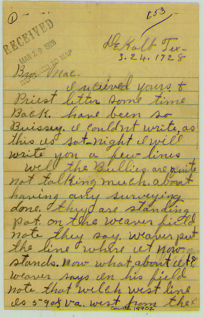
Bowie County Sketch File 8f

Print $10.00
- Digital $50.00
Bowie County Sketch File 8f
1928
Size 8.1 x 5.2 inches
Map/Doc 14902
Oldham County Sketch File 14


Print $20.00
- Digital $50.00
Oldham County Sketch File 14
1904
Size 20.0 x 24.6 inches
Map/Doc 12115
Aransas County Rolled Sketch 10


Print $58.00
- Digital $50.00
Aransas County Rolled Sketch 10
1936
Size 10.6 x 15.4 inches
Map/Doc 42208
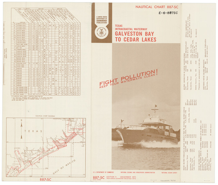
Nautical Chart 887-SC Intracoastal Waterway - Galveston Bay to Cedar Lakes including the Brazos and San Bernard Rivers, Texas

Print $20.00
- Digital $50.00
Nautical Chart 887-SC Intracoastal Waterway - Galveston Bay to Cedar Lakes including the Brazos and San Bernard Rivers, Texas
1971
Size 16.2 x 18.9 inches
Map/Doc 75911
Pecos County Boundary File 1


Print $2.00
- Digital $50.00
Pecos County Boundary File 1
Size 10.1 x 8.0 inches
Map/Doc 57854
[Sketch of E.L. RR. Blks. 1, 2, 7]
![89963, [Sketch of E.L. RR. Blks. 1, 2, 7], Twichell Survey Records](https://historictexasmaps.com/wmedia_w700/maps/89963-1.tif.jpg)
![89963, [Sketch of E.L. RR. Blks. 1, 2, 7], Twichell Survey Records](https://historictexasmaps.com/wmedia_w700/maps/89963-1.tif.jpg)
Print $20.00
- Digital $50.00
[Sketch of E.L. RR. Blks. 1, 2, 7]
Size 36.8 x 42.8 inches
Map/Doc 89963
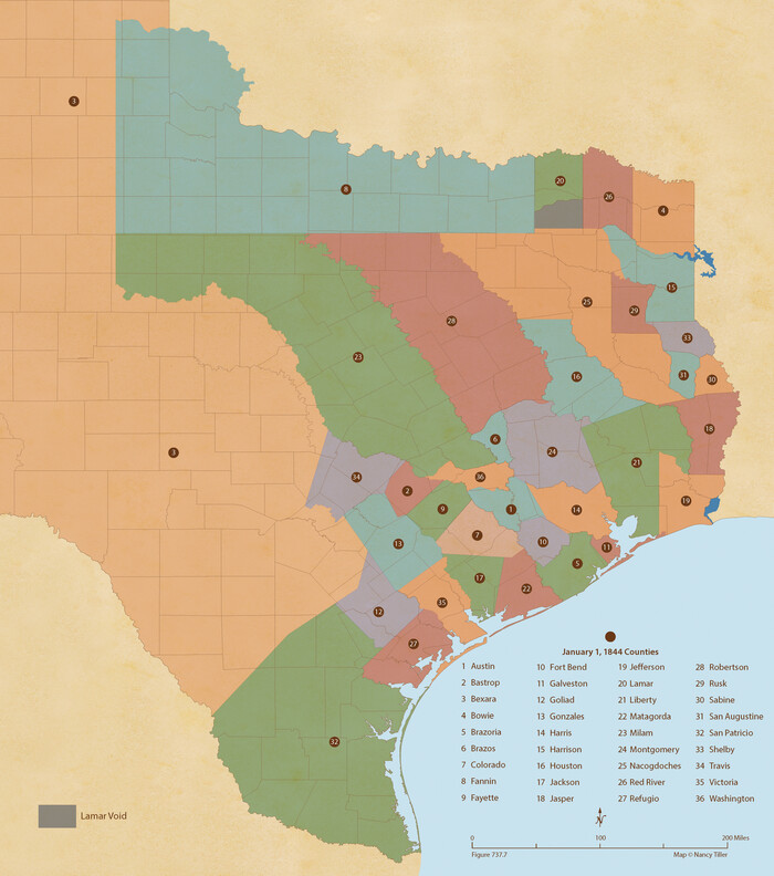
Republic Counties. January 1, 1844

Print $20.00
Republic Counties. January 1, 1844
2020
Size 24.5 x 21.7 inches
Map/Doc 96317
[Block XO3, Parts of Blocks Y2 and 1, and vicinity]
![91182, [Block XO3, Parts of Blocks Y2 and 1, and vicinity], Twichell Survey Records](https://historictexasmaps.com/wmedia_w700/maps/91182-1.tif.jpg)
![91182, [Block XO3, Parts of Blocks Y2 and 1, and vicinity], Twichell Survey Records](https://historictexasmaps.com/wmedia_w700/maps/91182-1.tif.jpg)
Print $20.00
- Digital $50.00
[Block XO3, Parts of Blocks Y2 and 1, and vicinity]
Size 13.1 x 13.9 inches
Map/Doc 91182
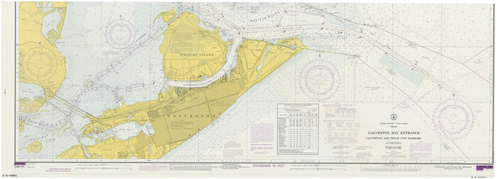
Galveston Bay Entrance, Series No. 518

Print $40.00
- Digital $50.00
Galveston Bay Entrance, Series No. 518
1971
Size 18.0 x 49.9 inches
Map/Doc 69862
![91391, [Worksheets related to the Wilson Strickland survey and vicinity], Twichell Survey Records](https://historictexasmaps.com/wmedia_w1800h1800/maps/91391-1.tif.jpg)
