Andrews County Rolled Sketch 42


Print $20.00
- Digital $50.00
Andrews County Rolled Sketch 42
Size: 27.3 x 36.0 inches
77182
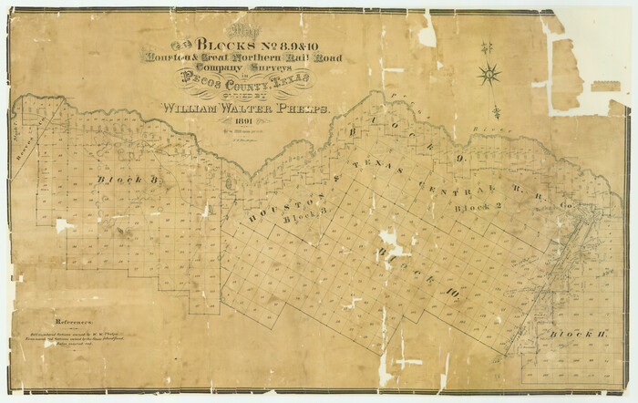
Blocks No. 8, 9 & 10 Houston & Great Northern Rail Road Company Surveys in Pecos County, Texas

Print $20.00
- Digital $50.00
Blocks No. 8, 9 & 10 Houston & Great Northern Rail Road Company Surveys in Pecos County, Texas
1891
Size: 24.5 x 38.7 inches
3955
Brewster County Rolled Sketch 127


Print $20.00
- Digital $50.00
Brewster County Rolled Sketch 127
1969
Size: 39.0 x 43.8 inches
8521
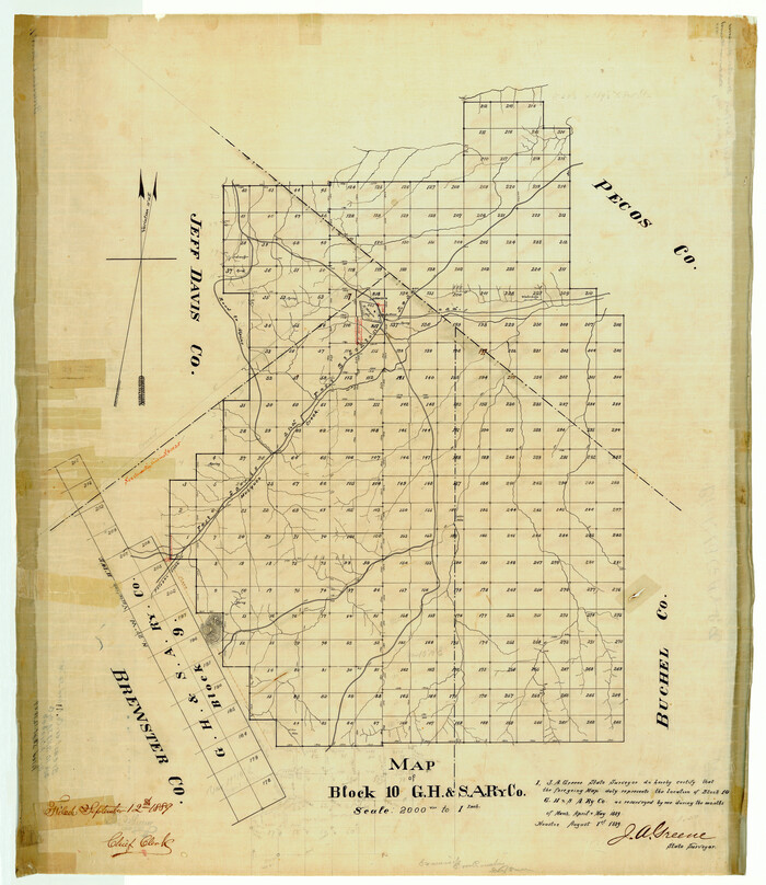
Brewster County Rolled Sketch 14

Print $20.00
- Digital $50.00
Brewster County Rolled Sketch 14
1889
Size: 31.5 x 27.3 inches
8469
Brewster County Rolled Sketch 61


Print $40.00
- Digital $50.00
Brewster County Rolled Sketch 61
1939
Size: 43.7 x 70.3 inches
8486
Brewster County Rolled Sketch 74


Print $20.00
- Digital $50.00
Brewster County Rolled Sketch 74
1941
Size: 22.8 x 15.8 inches
5240
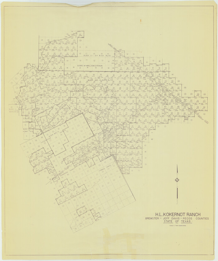
Brewster County Rolled Sketch 81

Print $20.00
- Digital $50.00
Brewster County Rolled Sketch 81
Size: 38.9 x 32.6 inches
41812
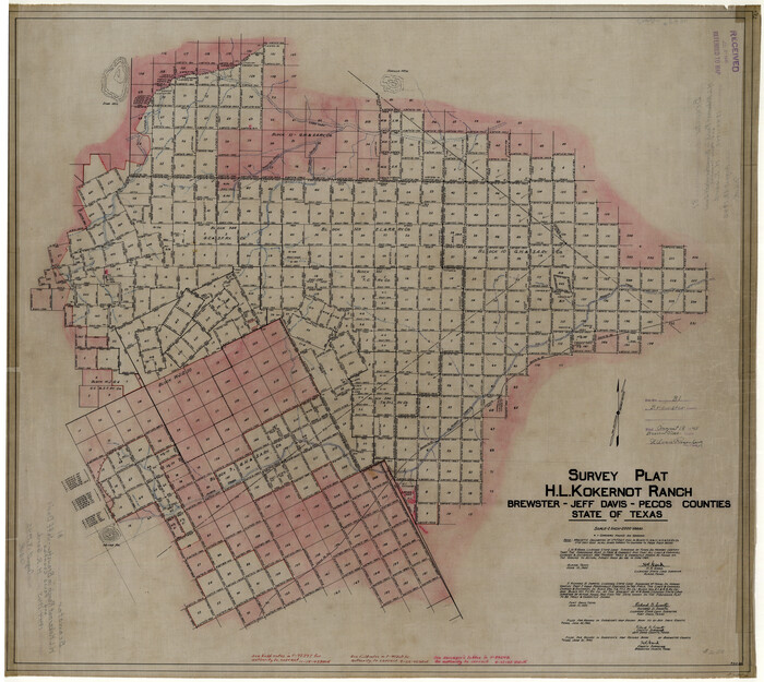
Brewster County Rolled Sketch 81

Print $20.00
- Digital $50.00
Brewster County Rolled Sketch 81
1945
Size: 30.8 x 33.9 inches
8494
Brewster County Rolled Sketch 94


Print $40.00
- Digital $50.00
Brewster County Rolled Sketch 94
1941
Size: 26.8 x 58.6 inches
8507
Brewster County Rolled Sketch 95


Print $20.00
- Digital $50.00
Brewster County Rolled Sketch 95
1947
Size: 29.4 x 38.0 inches
5252
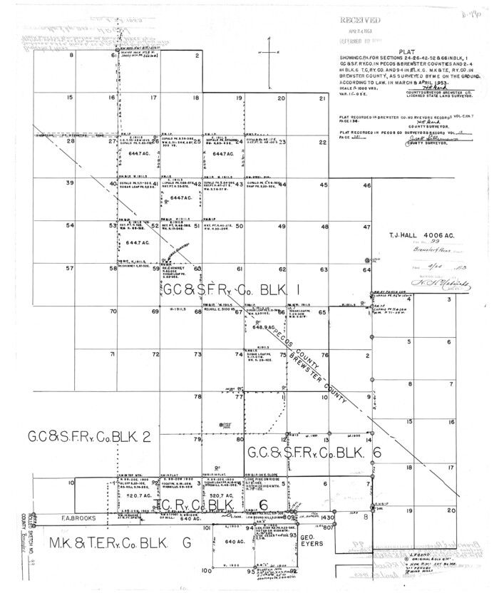
Brewster County Rolled Sketch 99

Print $20.00
- Digital $50.00
Brewster County Rolled Sketch 99
1953
Size: 26.6 x 22.4 inches
5255
Brewster County Sketch File N-20


Print $40.00
- Digital $50.00
Brewster County Sketch File N-20
1941
Size: 16.5 x 20.5 inches
10967
Brewster County Sketch File N-21


Print $40.00
- Digital $50.00
Brewster County Sketch File N-21
1951
Size: 18.0 x 18.6 inches
10968
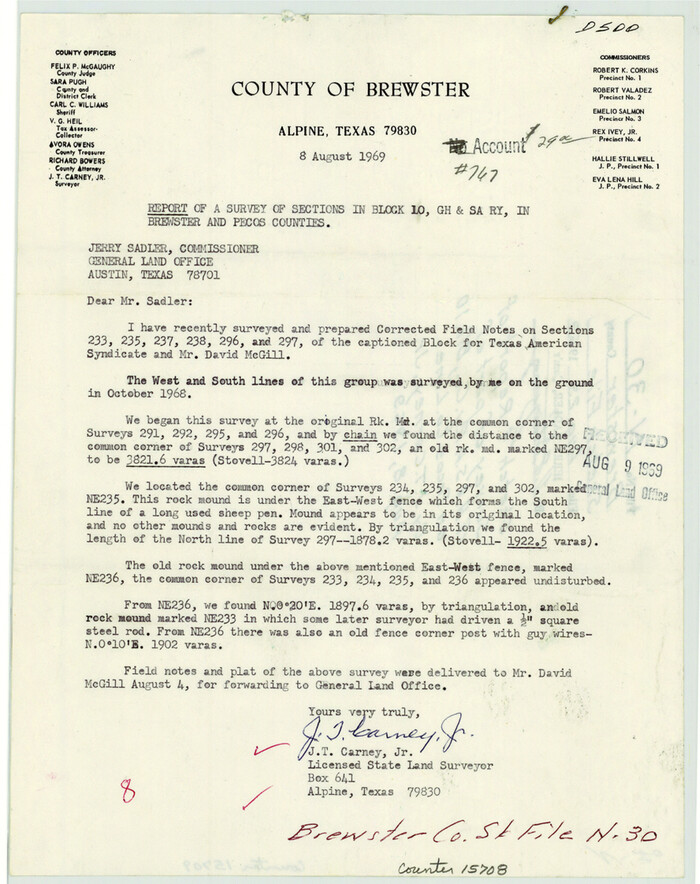
Brewster County Sketch File N-30

Print $6.00
- Digital $50.00
Brewster County Sketch File N-30
1969
Size: 11.2 x 8.9 inches
15708
Brewster County Sketch File NS-14

Print $160.00
- Digital $50.00
Brewster County Sketch File NS-14
1970
Size: 8.2 x 6.5 inches
16224
Brewster County Working Sketch 103


Print $40.00
- Digital $50.00
Brewster County Working Sketch 103
1980
Size: 48.4 x 31.1 inches
67703
Brewster County Working Sketch 106


Print $20.00
- Digital $50.00
Brewster County Working Sketch 106
1980
Size: 43.3 x 31.8 inches
67706
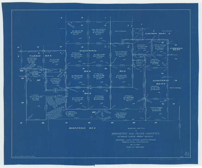
Brewster County Working Sketch 44

Print $20.00
- Digital $50.00
Brewster County Working Sketch 44
1947
Size: 28.9 x 34.8 inches
67578
Classification of Blocks 1 to 58, Set Apart to University by Constitution of 1876 by M. B. Moore
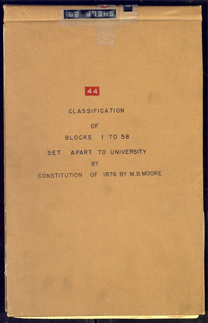

Classification of Blocks 1 to 58, Set Apart to University by Constitution of 1876 by M. B. Moore
81726
Corrected Map of T&P Ry. surveys in counties Pecos-Presidio-El Paso


Print $20.00
- Digital $50.00
Corrected Map of T&P Ry. surveys in counties Pecos-Presidio-El Paso
1884
Size: 27.9 x 39.0 inches
2301
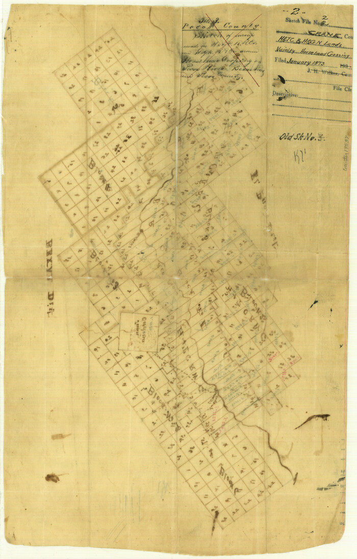
Crane County Sketch File 2

Print $6.00
- Digital $50.00
Crane County Sketch File 2
1873
Size: 17.5 x 11.2 inches
19557
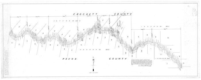
Crockett County Rolled Sketch 5

Print $40.00
- Digital $50.00
Crockett County Rolled Sketch 5
Size: 25.0 x 63.0 inches
8689
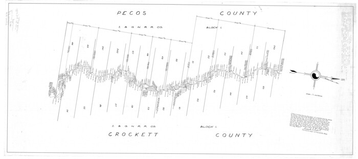
Crockett County Rolled Sketch 6

Print $40.00
- Digital $50.00
Crockett County Rolled Sketch 6
Size: 54.7 x 24.3 inches
8690
Crockett County Rolled Sketch 91


Print $40.00
- Digital $50.00
Crockett County Rolled Sketch 91
1928
Size: 26.0 x 70.5 inches
8737
Crockett County Rolled Sketch 91


Print $40.00
- Digital $50.00
Crockett County Rolled Sketch 91
1928
Size: 26.0 x 63.9 inches
9033
Crockett County Rolled Sketch CP
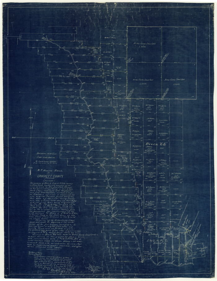

Print $20.00
- Digital $50.00
Crockett County Rolled Sketch CP
1928
Size: 39.9 x 30.8 inches
8695
Crockett County Rolled Sketch P


Print $20.00
- Digital $50.00
Crockett County Rolled Sketch P
1927
Size: 24.3 x 47.3 inches
8696
Crockett County Sketch File 10
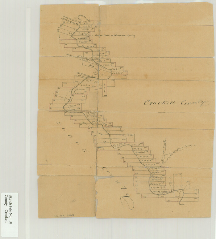

Print $20.00
- Digital $50.00
Crockett County Sketch File 10
Size: 14.0 x 12.7 inches
75924
Crockett County Sketch File 75a
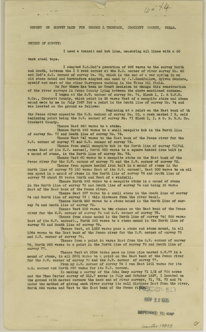

Print $6.00
- Digital $50.00
Crockett County Sketch File 75a
Size: 14.2 x 8.8 inches
19873
General Highway Map, Pecos County, Texas
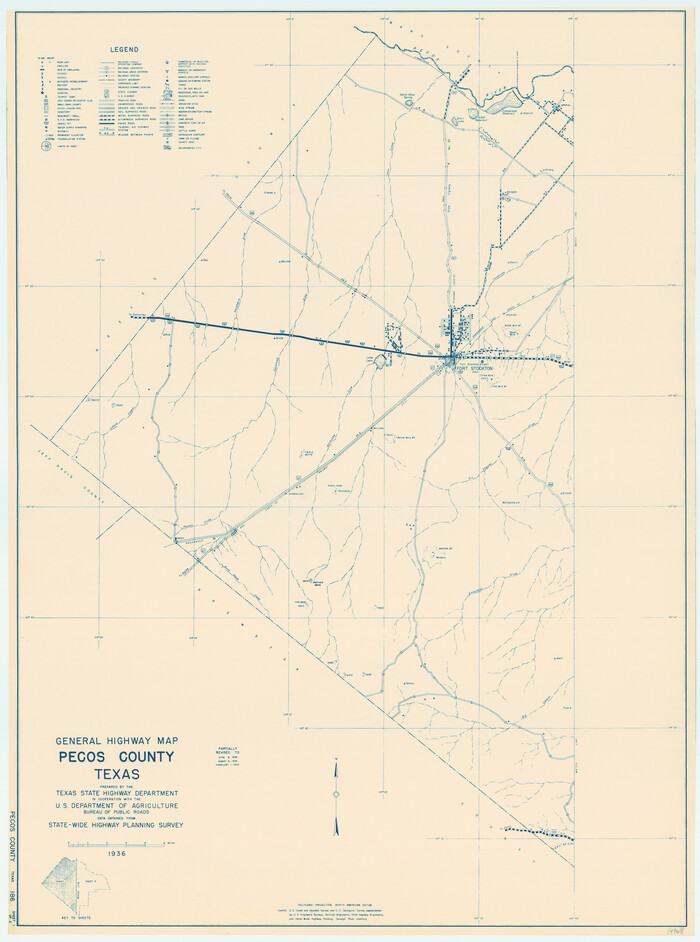

Print $20.00
General Highway Map, Pecos County, Texas
1940
Size: 24.6 x 18.3 inches
79217
Andrews County Rolled Sketch 42


Print $20.00
- Digital $50.00
Andrews County Rolled Sketch 42
-
Size
27.3 x 36.0 inches
-
Map/Doc
77182
Blocks No. 8, 9 & 10 Houston & Great Northern Rail Road Company Surveys in Pecos County, Texas


Print $20.00
- Digital $50.00
Blocks No. 8, 9 & 10 Houston & Great Northern Rail Road Company Surveys in Pecos County, Texas
1891
-
Size
24.5 x 38.7 inches
-
Map/Doc
3955
-
Creation Date
1891
Brewster County Rolled Sketch 127


Print $20.00
- Digital $50.00
Brewster County Rolled Sketch 127
1969
-
Size
39.0 x 43.8 inches
-
Map/Doc
8521
-
Creation Date
1969
Brewster County Rolled Sketch 14


Print $20.00
- Digital $50.00
Brewster County Rolled Sketch 14
1889
-
Size
31.5 x 27.3 inches
-
Map/Doc
8469
-
Creation Date
1889
Brewster County Rolled Sketch 61


Print $40.00
- Digital $50.00
Brewster County Rolled Sketch 61
1939
-
Size
43.7 x 70.3 inches
-
Map/Doc
8486
-
Creation Date
1939
Brewster County Rolled Sketch 74


Print $20.00
- Digital $50.00
Brewster County Rolled Sketch 74
1941
-
Size
22.8 x 15.8 inches
-
Map/Doc
5240
-
Creation Date
1941
Brewster County Rolled Sketch 81


Print $20.00
- Digital $50.00
Brewster County Rolled Sketch 81
-
Size
38.9 x 32.6 inches
-
Map/Doc
41812
Brewster County Rolled Sketch 81


Print $20.00
- Digital $50.00
Brewster County Rolled Sketch 81
1945
-
Size
30.8 x 33.9 inches
-
Map/Doc
8494
-
Creation Date
1945
Brewster County Rolled Sketch 94


Print $40.00
- Digital $50.00
Brewster County Rolled Sketch 94
1941
-
Size
26.8 x 58.6 inches
-
Map/Doc
8507
-
Creation Date
1941
Brewster County Rolled Sketch 95


Print $20.00
- Digital $50.00
Brewster County Rolled Sketch 95
1947
-
Size
29.4 x 38.0 inches
-
Map/Doc
5252
-
Creation Date
1947
Brewster County Rolled Sketch 99


Print $20.00
- Digital $50.00
Brewster County Rolled Sketch 99
1953
-
Size
26.6 x 22.4 inches
-
Map/Doc
5255
-
Creation Date
1953
Brewster County Sketch File N-20


Print $40.00
- Digital $50.00
Brewster County Sketch File N-20
1941
-
Size
16.5 x 20.5 inches
-
Map/Doc
10967
-
Creation Date
1941
Brewster County Sketch File N-21


Print $40.00
- Digital $50.00
Brewster County Sketch File N-21
1951
-
Size
18.0 x 18.6 inches
-
Map/Doc
10968
-
Creation Date
1951
Brewster County Sketch File N-30


Print $6.00
- Digital $50.00
Brewster County Sketch File N-30
1969
-
Size
11.2 x 8.9 inches
-
Map/Doc
15708
-
Creation Date
1969
Brewster County Sketch File NS-14


Print $160.00
- Digital $50.00
Brewster County Sketch File NS-14
1970
-
Size
8.2 x 6.5 inches
-
Map/Doc
16224
-
Creation Date
1970
Brewster County Working Sketch 103


Print $40.00
- Digital $50.00
Brewster County Working Sketch 103
1980
-
Size
48.4 x 31.1 inches
-
Map/Doc
67703
-
Creation Date
1980
Brewster County Working Sketch 106


Print $20.00
- Digital $50.00
Brewster County Working Sketch 106
1980
-
Size
43.3 x 31.8 inches
-
Map/Doc
67706
-
Creation Date
1980
Brewster County Working Sketch 44


Print $20.00
- Digital $50.00
Brewster County Working Sketch 44
1947
-
Size
28.9 x 34.8 inches
-
Map/Doc
67578
-
Creation Date
1947
Classification of Blocks 1 to 58, Set Apart to University by Constitution of 1876 by M. B. Moore


Classification of Blocks 1 to 58, Set Apart to University by Constitution of 1876 by M. B. Moore
-
Map/Doc
81726
Corrected Map of T&P Ry. surveys in counties Pecos-Presidio-El Paso


Print $20.00
- Digital $50.00
Corrected Map of T&P Ry. surveys in counties Pecos-Presidio-El Paso
1884
-
Size
27.9 x 39.0 inches
-
Map/Doc
2301
-
Creation Date
1884
Crane County Sketch File 2


Print $6.00
- Digital $50.00
Crane County Sketch File 2
1873
-
Size
17.5 x 11.2 inches
-
Map/Doc
19557
-
Creation Date
1873
Crockett County Rolled Sketch 5


Print $40.00
- Digital $50.00
Crockett County Rolled Sketch 5
-
Size
25.0 x 63.0 inches
-
Map/Doc
8689
Crockett County Rolled Sketch 6


Print $40.00
- Digital $50.00
Crockett County Rolled Sketch 6
-
Size
54.7 x 24.3 inches
-
Map/Doc
8690
Crockett County Rolled Sketch 91


Print $40.00
- Digital $50.00
Crockett County Rolled Sketch 91
1928
-
Size
26.0 x 70.5 inches
-
Map/Doc
8737
-
Creation Date
1928
Crockett County Rolled Sketch 91


Print $40.00
- Digital $50.00
Crockett County Rolled Sketch 91
1928
-
Size
26.0 x 63.9 inches
-
Map/Doc
9033
-
Creation Date
1928
Crockett County Rolled Sketch CP


Print $20.00
- Digital $50.00
Crockett County Rolled Sketch CP
1928
-
Size
39.9 x 30.8 inches
-
Map/Doc
8695
-
Creation Date
1928
Crockett County Rolled Sketch P


Print $20.00
- Digital $50.00
Crockett County Rolled Sketch P
1927
-
Size
24.3 x 47.3 inches
-
Map/Doc
8696
-
Creation Date
1927
Crockett County Sketch File 10


Print $20.00
- Digital $50.00
Crockett County Sketch File 10
-
Size
14.0 x 12.7 inches
-
Map/Doc
75924
Crockett County Sketch File 75a


Print $6.00
- Digital $50.00
Crockett County Sketch File 75a
-
Size
14.2 x 8.8 inches
-
Map/Doc
19873
General Highway Map, Pecos County, Texas


Print $20.00
General Highway Map, Pecos County, Texas
1940
-
Size
24.6 x 18.3 inches
-
Map/Doc
79217
-
Creation Date
1940