
Reeves County Rolled Sketch 35
2013
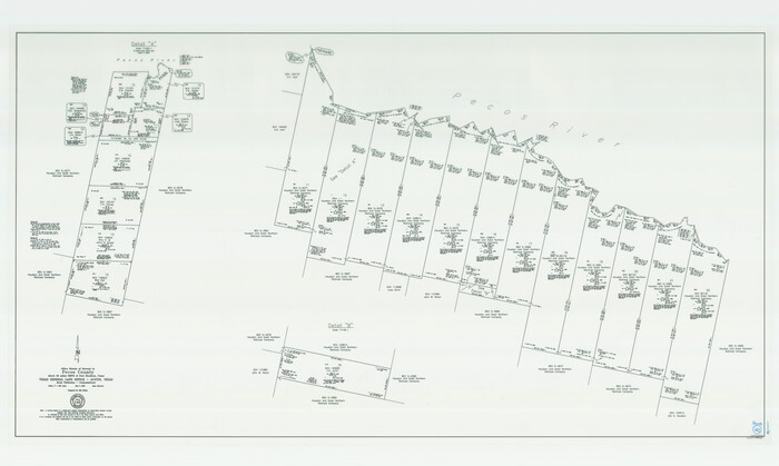
Pecos County Working Sketch 142
2007

Pecos County Rolled Sketch 190
2005

Pecos County Rolled Sketch 189
1998

Reeves County Working Sketch 65
1990

Pecos County Rolled Sketch 185
1985
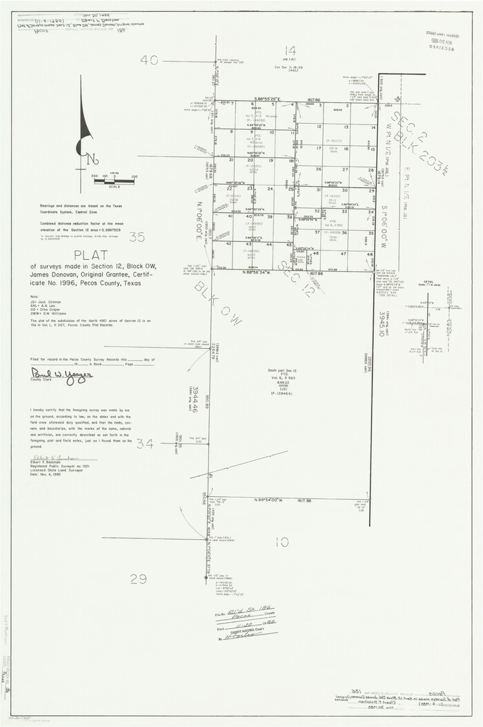
Pecos County Rolled Sketch 186
1985

Pecos County Rolled Sketch 187
1985

Pecos County Rolled Sketch 188
1984
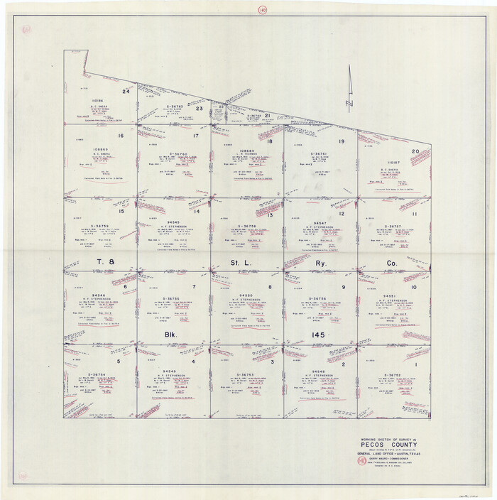
Pecos County Working Sketch 140
1983
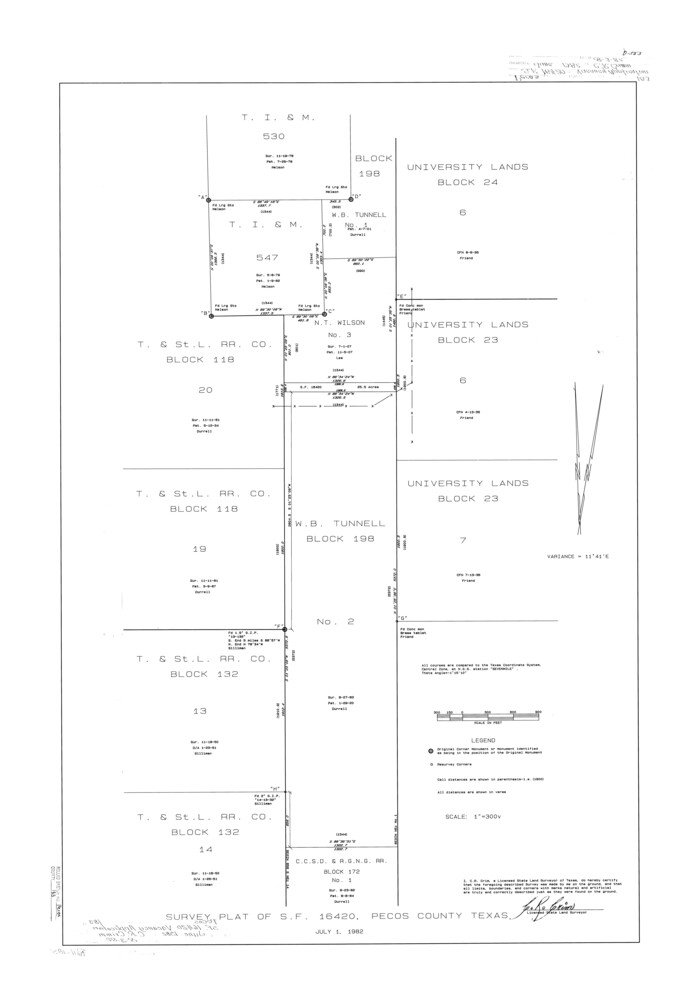
Pecos County Rolled Sketch 183
1982

Pecos County Sketch File 109
1982
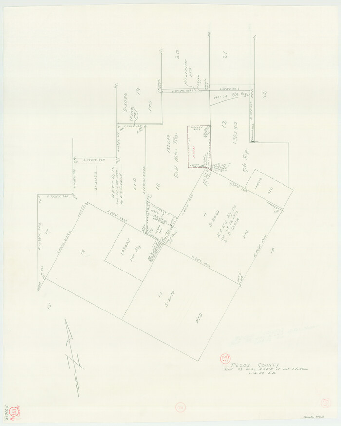
Pecos County Working Sketch 139
1982
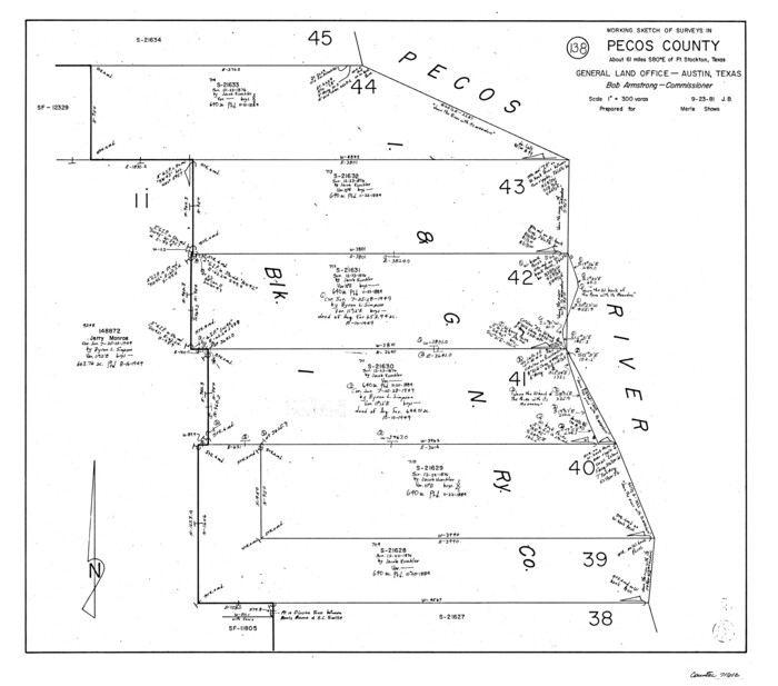
Pecos County Working Sketch 138
1981

Pecos County Working Sketch 136
1981
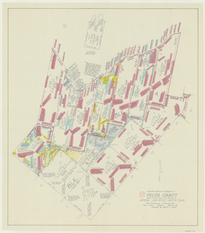
Pecos County Working Sketch 137
1981
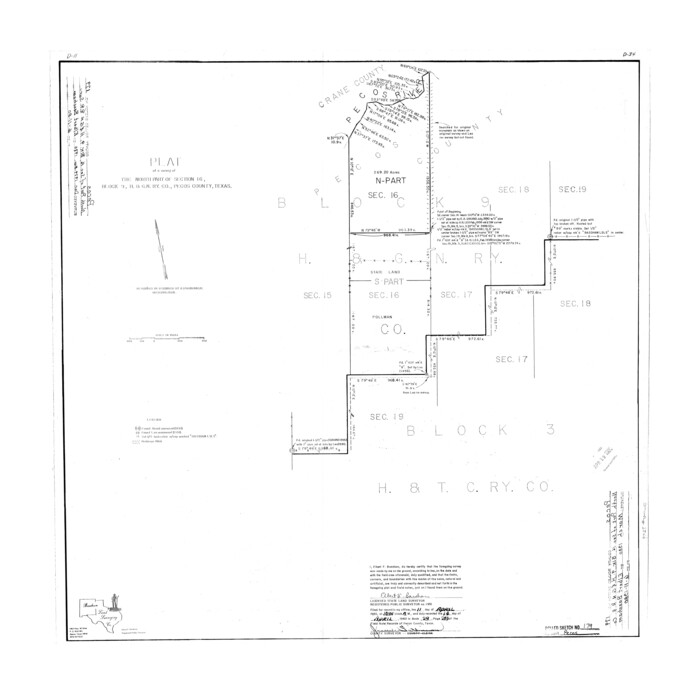
Pecos County Rolled Sketch 179
1980
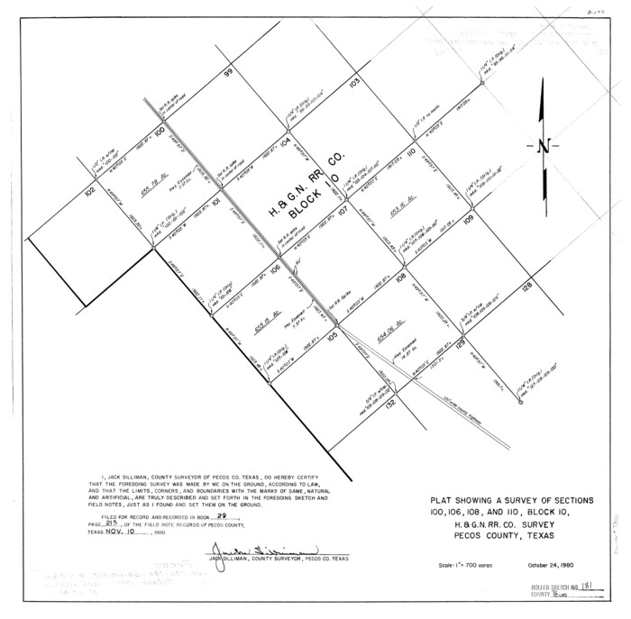
Pecos County Rolled Sketch 181
1980

Brewster County Working Sketch 106
1980

Brewster County Working Sketch 103
1980
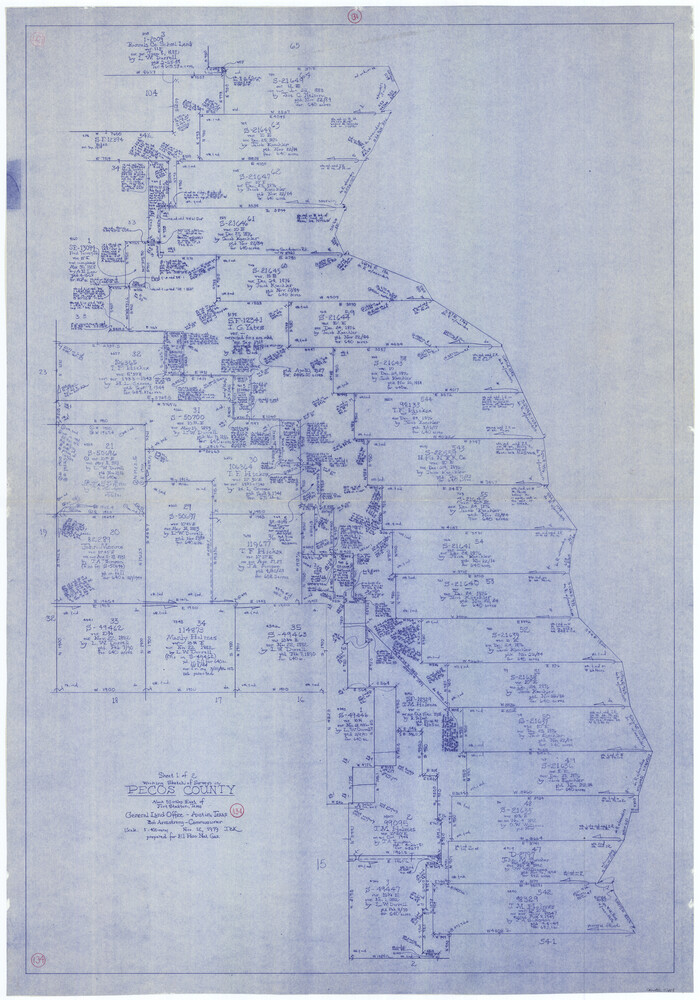
Pecos County Working Sketch 134
1979
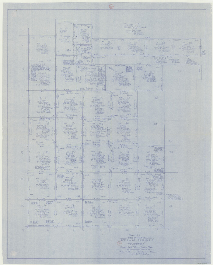
Pecos County Working Sketch 135
1979

Pecos County Working Sketch 133
1979
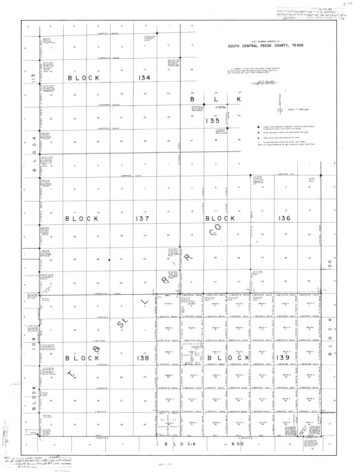
Pecos County Rolled Sketch 178
1979
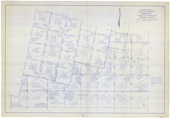
Pecos County Working Sketch 132
1979

Reeves County Rolled Sketch 21
1978

Pecos County Rolled Sketch 176
1978

Pecos County Rolled Sketch 184
1977
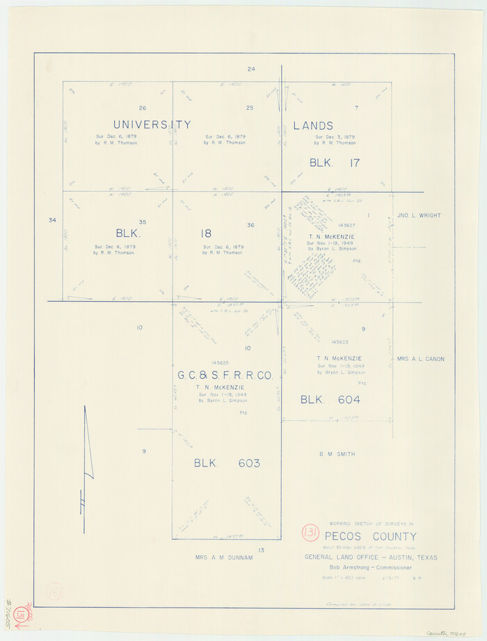
Pecos County Working Sketch 131
1977
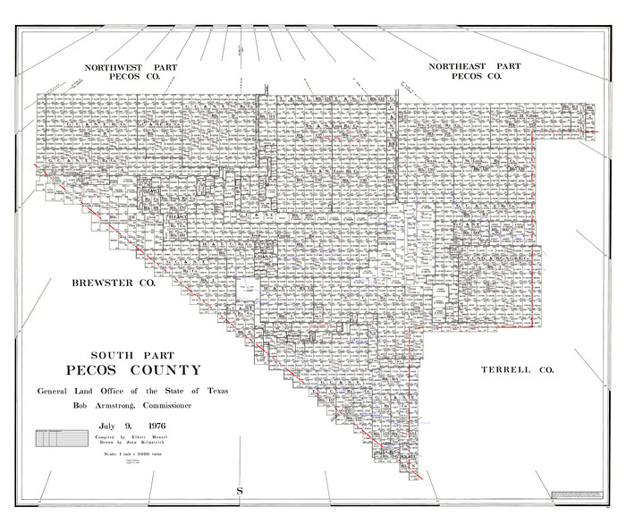
South Part Pecos County
1976

Reeves County Rolled Sketch 35
2013
-
Size
25.3 x 36.8 inches
-
Map/Doc
93706
-
Creation Date
2013

Pecos County Working Sketch 142
2007
-
Size
38.0 x 63.4 inches
-
Map/Doc
88610
-
Creation Date
2007

Pecos County Rolled Sketch 190
2005
-
Size
20.3 x 26.1 inches
-
Map/Doc
83284
-
Creation Date
2005

Pecos County Rolled Sketch 189
1998
-
Size
22.2 x 33.7 inches
-
Map/Doc
7307
-
Creation Date
1998

Reeves County Working Sketch 65
1990
-
Size
17.3 x 19.7 inches
-
Map/Doc
63508
-
Creation Date
1990

Pecos County Rolled Sketch 185
1985
-
Size
34.9 x 29.0 inches
-
Map/Doc
7304
-
Creation Date
1985

Pecos County Rolled Sketch 186
1985
-
Size
39.3 x 27.5 inches
-
Map/Doc
7305
-
Creation Date
1985

Pecos County Rolled Sketch 187
1985
-
Size
17.8 x 22.9 inches
-
Map/Doc
7306
-
Creation Date
1985

Pecos County Rolled Sketch 188
1984
-
Size
59.4 x 43.5 inches
-
Map/Doc
9753
-
Creation Date
1984

Pecos County Working Sketch 140
1983
-
Size
43.1 x 42.9 inches
-
Map/Doc
71614
-
Creation Date
1983

Pecos County Rolled Sketch 183
1982
-
Size
39.6 x 27.5 inches
-
Map/Doc
7302
-
Creation Date
1982

Pecos County Sketch File 109
1982
-
Size
14.8 x 9.3 inches
-
Map/Doc
34039
-
Creation Date
1982

Pecos County Working Sketch 139
1982
-
Size
31.1 x 24.9 inches
-
Map/Doc
71613
-
Creation Date
1982

Pecos County Working Sketch 138
1981
-
Size
23.2 x 26.3 inches
-
Map/Doc
71612
-
Creation Date
1981

Pecos County Working Sketch 136
1981
-
Size
31.8 x 28.4 inches
-
Map/Doc
71610
-
Creation Date
1981

Pecos County Working Sketch 137
1981
-
Size
32.3 x 28.4 inches
-
Map/Doc
71611
-
Creation Date
1981

Pecos County Rolled Sketch 179
1980
-
Size
28.0 x 28.2 inches
-
Map/Doc
7299
-
Creation Date
1980

Pecos County Rolled Sketch 181
1980
-
Size
18.4 x 18.7 inches
-
Map/Doc
7300
-
Creation Date
1980

Brewster County Working Sketch 106
1980
-
Size
43.3 x 31.8 inches
-
Map/Doc
67706
-
Creation Date
1980

Brewster County Working Sketch 103
1980
-
Size
48.4 x 31.1 inches
-
Map/Doc
67703
-
Creation Date
1980

Pecos County Working Sketch 134
1979
-
Size
53.3 x 37.3 inches
-
Map/Doc
71608
-
Creation Date
1979

Pecos County Working Sketch 135
1979
-
Size
46.4 x 37.3 inches
-
Map/Doc
71609
-
Creation Date
1979

Pecos County Working Sketch 133
1979
-
Size
44.0 x 37.2 inches
-
Map/Doc
71607
-
Creation Date
1979

Pecos County Rolled Sketch 178
1979
-
Size
38.5 x 28.7 inches
-
Map/Doc
7298
-
Creation Date
1979

Pecos County Working Sketch 132
1979
-
Size
34.6 x 49.3 inches
-
Map/Doc
71606
-
Creation Date
1979

Reeves County Rolled Sketch 21
1978
-
Size
27.6 x 27.6 inches
-
Map/Doc
7489
-
Creation Date
1978

Pecos County Rolled Sketch 176
1978
-
Size
14.1 x 33.6 inches
-
Map/Doc
7296
-
Creation Date
1978

Pecos County Rolled Sketch 184
1977
-
Size
44.4 x 30.0 inches
-
Map/Doc
7303
-
Creation Date
1977

Pecos County Working Sketch 131
1977
-
Size
27.8 x 21.1 inches
-
Map/Doc
71605
-
Creation Date
1977

South Part Pecos County
1976
-
Size
37.9 x 45.3 inches
-
Map/Doc
95613
-
Creation Date
1976