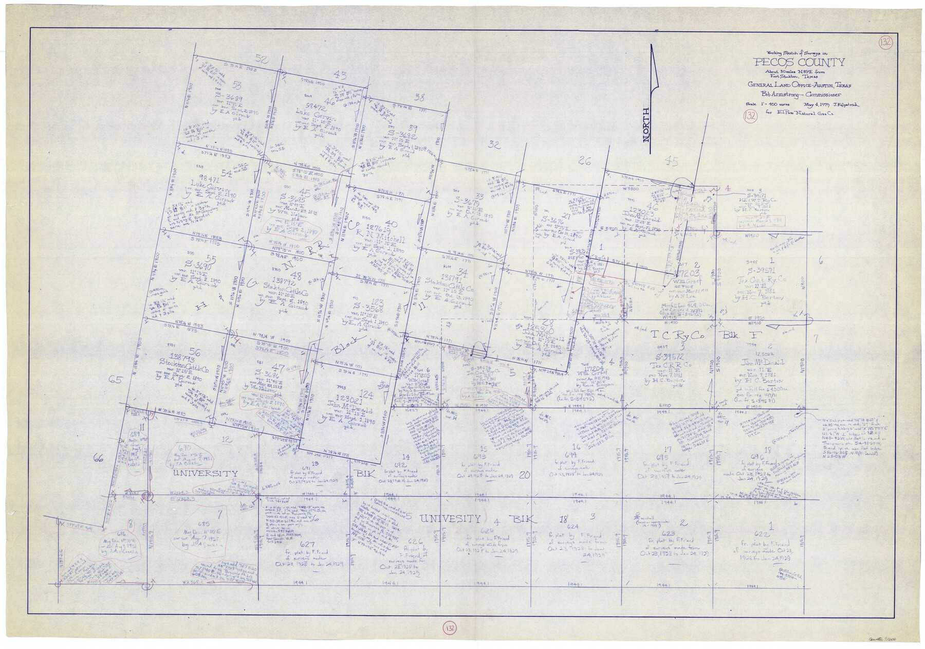
Pecos County Working Sketch 132
-
Map/Doc
71606
-
Collection
General Map Collection
-
Object Dates
5/4/1979 (Creation Date)
-
People and Organizations
Joan Kilpatrick (Draftsman)
-
Counties
Pecos
-
Subjects
Surveying Working Sketch
-
Height x Width
34.6 x 49.3 inches
87.9 x 125.2 cm
-
Scale
1" = 400 varas
Part of: General Map Collection
Uvalde County Working Sketch 25

Print $20.00
- Digital $50.00
Uvalde County Working Sketch 25
1954
Size 24.5 x 33.3 inches
Map/Doc 72095
Uvalde County Sketch File 31

Print $4.00
- Digital $50.00
Uvalde County Sketch File 31
Size 11.2 x 8.8 inches
Map/Doc 81529

Childress County Boundary File 2

Print $66.00
- Digital $50.00
Childress County Boundary File 2
Size 7.3 x 3.9 inches
Map/Doc 51306
[Beaumont, Sour Lake and Western Ry. Right of Way and Alignment - Frisco]
![64114, [Beaumont, Sour Lake and Western Ry. Right of Way and Alignment - Frisco], General Map Collection](https://historictexasmaps.com/wmedia_w700/maps/64114.tif.jpg)
Print $20.00
- Digital $50.00
[Beaumont, Sour Lake and Western Ry. Right of Way and Alignment - Frisco]
1910
Size 19.9 x 46.0 inches
Map/Doc 64114
Brewster County Rolled Sketch 138

Print $20.00
- Digital $50.00
Brewster County Rolled Sketch 138
1982
Size 24.5 x 38.0 inches
Map/Doc 5306
Jefferson County Rolled Sketch 28

Print $20.00
- Digital $50.00
Jefferson County Rolled Sketch 28
1948
Size 22.4 x 32.9 inches
Map/Doc 6391
Flight Mission No. DAG-24K, Frame 46, Matagorda County

Print $20.00
- Digital $50.00
Flight Mission No. DAG-24K, Frame 46, Matagorda County
1953
Size 18.5 x 22.2 inches
Map/Doc 86533
Maps of Gulf Intracoastal Waterway, Texas - Sabine River to the Rio Grande and connecting waterways including ship channels

Print $20.00
- Digital $50.00
Maps of Gulf Intracoastal Waterway, Texas - Sabine River to the Rio Grande and connecting waterways including ship channels
1966
Size 14.6 x 22.2 inches
Map/Doc 61979
[Red River & Southwestern Ry. Co. from Henrietta to Archer City]
![64147, [Red River & Southwestern Ry. Co. from Henrietta to Archer City], General Map Collection](https://historictexasmaps.com/wmedia_w700/maps/64147.tif.jpg)
Print $20.00
- Digital $50.00
[Red River & Southwestern Ry. Co. from Henrietta to Archer City]
Size 14.3 x 21.1 inches
Map/Doc 64147
Houston Ship Channel, Alexander Island to Carpenter Bayou

Print $20.00
- Digital $50.00
Houston Ship Channel, Alexander Island to Carpenter Bayou
1960
Size 35.2 x 46.5 inches
Map/Doc 69905
Official Map of the Highway System of Texas

Digital $50.00
Official Map of the Highway System of Texas
1935
Size 25.1 x 25.9 inches
Map/Doc 93721
You may also like
Dimmit County Sketch File 21

Print $16.00
- Digital $50.00
Dimmit County Sketch File 21
1898
Size 14.4 x 8.8 inches
Map/Doc 21115
Presidio County Working Sketch 26

Print $20.00
- Digital $50.00
Presidio County Working Sketch 26
1945
Size 41.9 x 24.3 inches
Map/Doc 71702
Map of Kimble County, Texas

Print $20.00
- Digital $50.00
Map of Kimble County, Texas
1879
Size 18.1 x 28.3 inches
Map/Doc 527
Concho County Sketch File 24

Print $12.00
- Digital $50.00
Concho County Sketch File 24
1885
Size 11.1 x 8.4 inches
Map/Doc 19149
Bowie County Sketch File 8

Print $42.00
- Digital $50.00
Bowie County Sketch File 8
1927
Size 8.9 x 3.8 inches
Map/Doc 14872
Delta County, Texas

Print $20.00
- Digital $50.00
Delta County, Texas
1884
Size 14.1 x 20.0 inches
Map/Doc 416
General Highway Map, Callahan County, Texas

Print $20.00
General Highway Map, Callahan County, Texas
1940
Size 25.3 x 18.4 inches
Map/Doc 79037
Flight Mission No. DAH-10M, Frame 41, Orange County

Print $20.00
- Digital $50.00
Flight Mission No. DAH-10M, Frame 41, Orange County
1953
Size 18.7 x 22.5 inches
Map/Doc 86876
Dickens County Sketch File 22

Print $8.00
- Digital $50.00
Dickens County Sketch File 22
1913
Size 11.2 x 9.1 inches
Map/Doc 20985
Foard County Sketch File 18

Print $6.00
- Digital $50.00
Foard County Sketch File 18
1888
Size 13.0 x 8.5 inches
Map/Doc 22834
Grimes County Rolled Sketch 1

Print $20.00
- Digital $50.00
Grimes County Rolled Sketch 1
1945
Size 34.6 x 35.0 inches
Map/Doc 9007
Grayson County Boundary File 5

Print $4.00
- Digital $50.00
Grayson County Boundary File 5
Size 11.2 x 8.7 inches
Map/Doc 53959