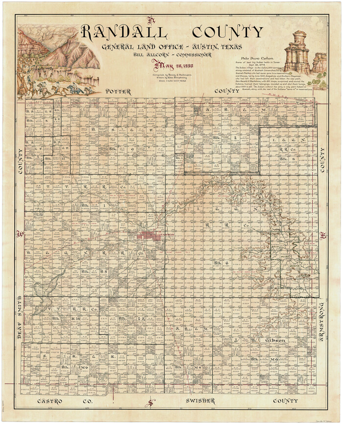
146 results

Randall County Rolled Sketch 9A
10314.tif
Print $20.00 - Digital $50.00

Randall County Rolled Sketch 9A

1985

Size: 44.5 x 35.0 inches
10314
Randall County Rolled Sketch 9B
9810.tif
Print $20.00 - Digital $50.00

Randall County Rolled Sketch 9B

1985

Size: 45.0 x 34.5 inches
9810
Castro County Sketch File 17
11063, Castro County Sketch File 17, General Map Collection
Print $20.00 - Digital $50.00

Castro County Sketch File 17

1981

Size: 14.8 x 25.7 inches
11063
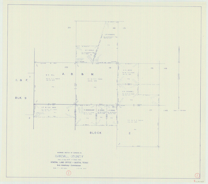
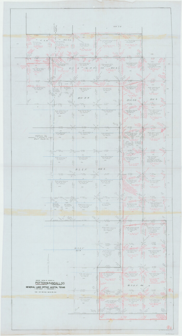
Randall County Rolled Sketch 8
10620-1.tif
Print $20.00 - Digital $50.00

Randall County Rolled Sketch 8

1975

Size: 33.7 x 43.7 inches
10620
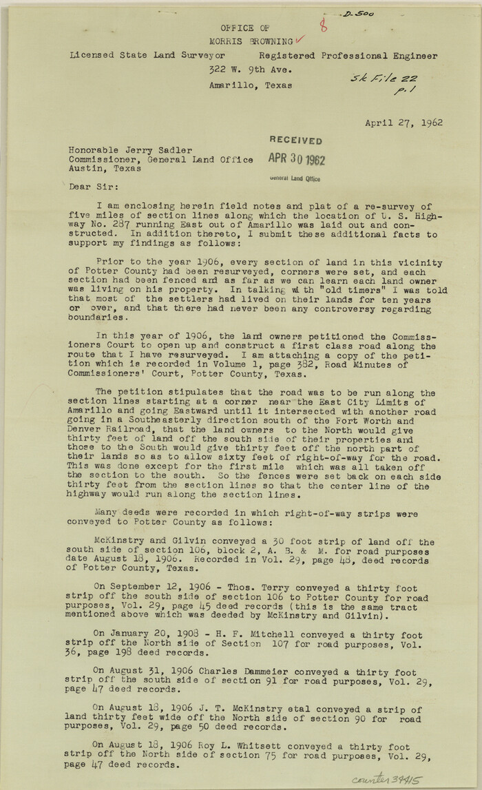
Potter County Sketch File 22
34415, Potter County Sketch File 22, General Map Collection
Print $30.00 - Digital $50.00

Potter County Sketch File 22

1962

Size: 14.2 x 8.6 inches
34415
General Highway Map, Randall County, Texas
79635.tif
Print $20.00

General Highway Map, Randall County, Texas

1961
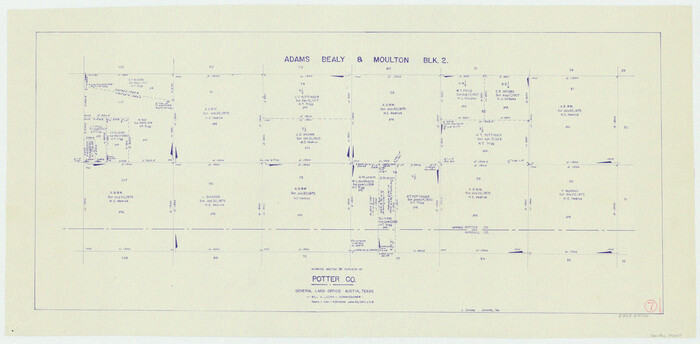
Size: 18.1 x 24.5 inches
79635
Randall County
73269.tif
Print $20.00 - Digital $50.00

Randall County

1958

Size: 43.0 x 35.1 inches
73269
Randall County Working Sketch Graphic Index
76676.tif
Print $20.00 - Digital $50.00

Randall County Working Sketch Graphic Index

1958
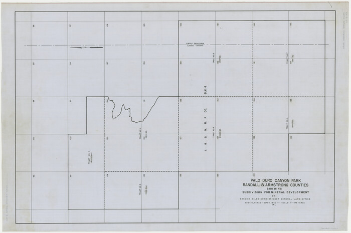
Size: 41.2 x 33.2 inches
76676
Randall County
77402.tif
Print $20.00 - Digital $50.00

Randall County

1958

Size: 41.0 x 33.0 inches
77402
Randall County
95620.tif
Print $20.00 - Digital $50.00

Randall County

1958

Size: 46.2 x 39.9 inches
95620
Palo Duro Canyon Park
73567.tif
Print $20.00 - Digital $50.00

Palo Duro Canyon Park

1950

Size: 25.2 x 37.9 inches
73567
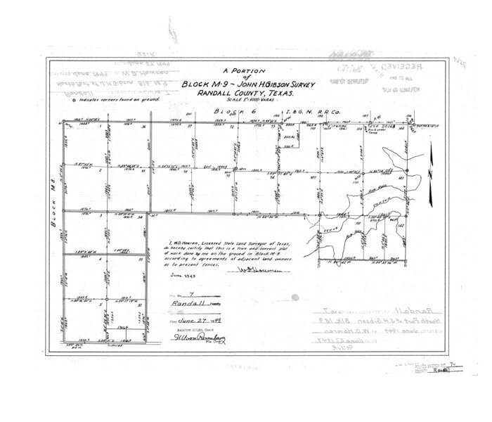
Randall County Rolled Sketch 7
7427.tif
Print $20.00 - Digital $50.00

Randall County Rolled Sketch 7

1949

Size: 18.9 x 22.1 inches
7427
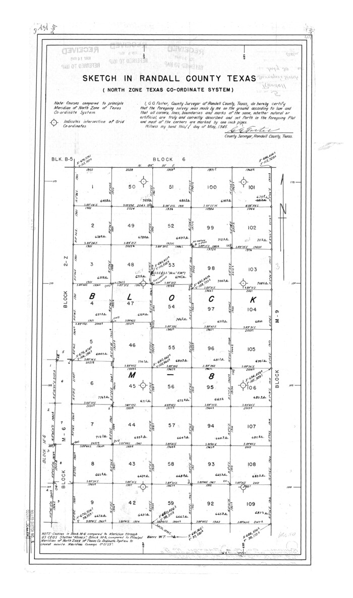
Randall County Rolled Sketch 5
7425.tif
Print $20.00 - Digital $50.00

Randall County Rolled Sketch 5

1945

Size: 29.7 x 17.6 inches
7425
Randall County Sketch File 12
34976, Randall County Sketch File 12, General Map Collection
Print $6.00 - Digital $50.00

Randall County Sketch File 12

1945

Size: 11.3 x 8.9 inches
34976
Sketch in Block 9, Potter County Texas
91719-1.tif
Print $20.00 - Digital $50.00

Sketch in Block 9, Potter County Texas

1945
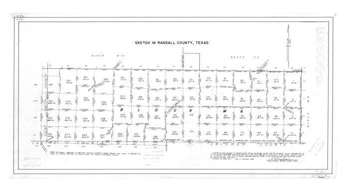
Size: 15.7 x 18.5 inches
91719
Randall County Rolled Sketch 4
7424.tif
Print $20.00 - Digital $50.00

Randall County Rolled Sketch 4

1944

Size: 21.7 x 39.7 inches
7424
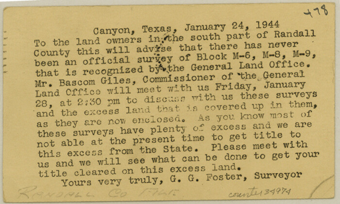
Randall County Sketch File 11
34974, Randall County Sketch File 11, General Map Collection
Print $4.00 - Digital $50.00

Randall County Sketch File 11

1944

Size: 3.4 x 5.7 inches
34974
Randall County Sketch File 10
34972, Randall County Sketch File 10, General Map Collection
Print $4.00 - Digital $50.00

Randall County Sketch File 10

1941

Size: 11.4 x 8.8 inches
34972
General Highway Map, Randall County, Texas
79224.tif
Print $20.00

General Highway Map, Randall County, Texas

1940
Size: 18.3 x 25.0 inches
79224
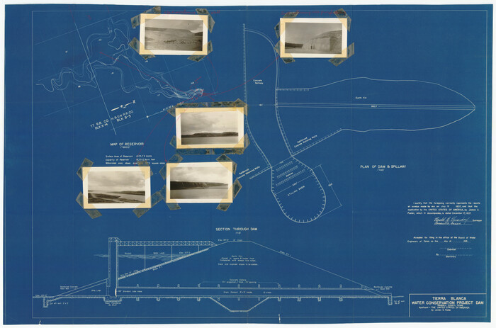
Tierra Blanca Water Conservation Project Dam
92157-1.tif
Print $20.00 - Digital $50.00

Tierra Blanca Water Conservation Project Dam

1937

Size: 37.7 x 25.1 inches
92157
Randall County Sketch File 5
10583, Randall County Sketch File 5, General Map Collection
Print $20.00 - Digital $50.00

Randall County Sketch File 5

1931

Size: 23.9 x 41.7 inches
10583
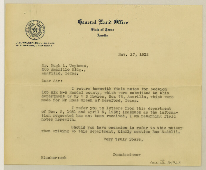
Randall County Sketch File 7
34963, Randall County Sketch File 7, General Map Collection
Print $14.00 - Digital $50.00

Randall County Sketch File 7

1931

Size: 7.3 x 8.9 inches
34963
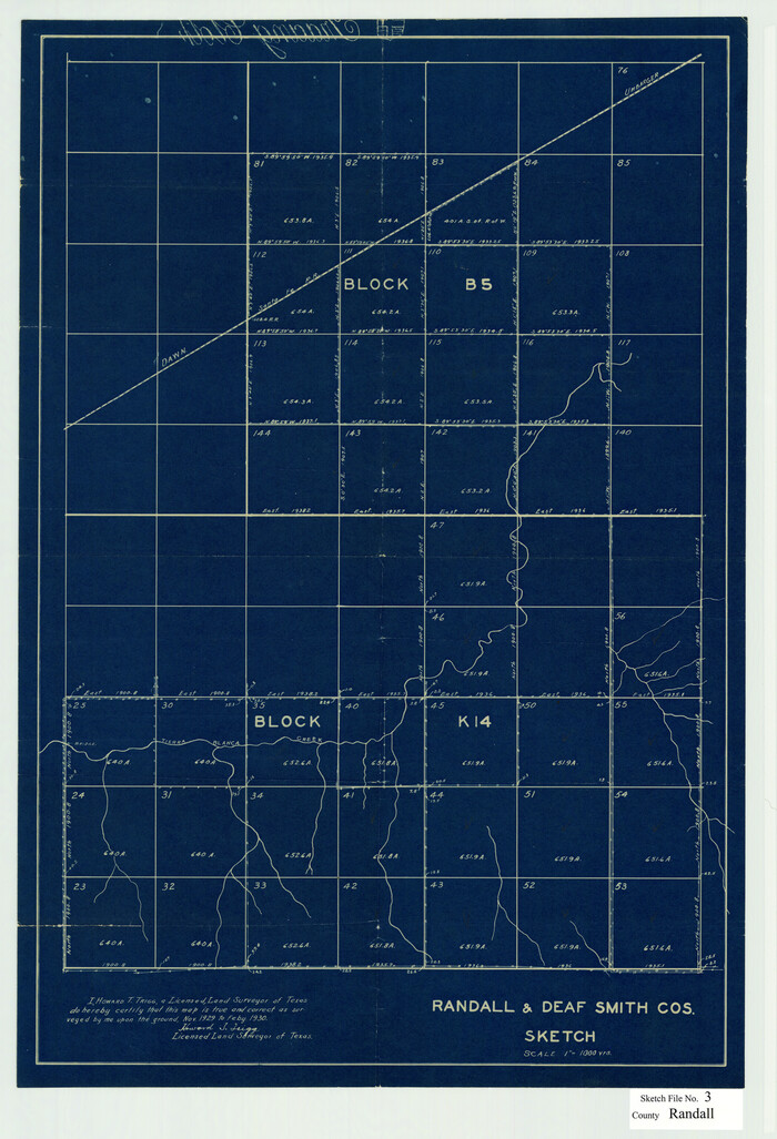
Randall County Sketch File 3
12206, Randall County Sketch File 3, General Map Collection
Print $20.00 - Digital $50.00

Randall County Sketch File 3

1930

Size: 23.8 x 16.3 inches
12206
[Sketch showing I. & G. N. Block 8]
91798-1.tif
Print $2.00 - Digital $50.00

[Sketch showing I. & G. N. Block 8]

1919

Size: 7.6 x 12.6 inches
91798
[Sketch showing I. & G. N. Block 8]
91703-1.tif
Print $2.00 - Digital $50.00

[Sketch showing I. & G. N. Block 8]

1919

Size: 5.0 x 8.7 inches
91703
[Sketch showing I. & G. N. Block 8]
91715-1.tif
Print $2.00 - Digital $50.00

[Sketch showing I. & G. N. Block 8]

1919

Size: 7.7 x 10.3 inches
91715
[Sketch showing surveys 9, 10, 15, 65 and 96]
91759-1.tif
Print $20.00 - Digital $50.00

[Sketch showing surveys 9, 10, 15, 65 and 96]

1919

Size: 17.9 x 17.1 inches
91759
Working Sketch in Randall and Swisher Cos.
93048.tif
Print $20.00 - Digital $50.00

Working Sketch in Randall and Swisher Cos.

1917

Size: 14.6 x 36.3 inches
93048
Randall County
16793.tif
Print $20.00 - Digital $50.00

Randall County

1917

Size: 44.7 x 36.9 inches
16793
Randall County
73339.tif
Print $20.00 - Digital $50.00

Randall County

1917

Size: 45.2 x 38.9 inches
73339
Randall County Rolled Sketch 9A
10314, Randall County Rolled Sketch 9A, General Map Collection
Print $20.00 - Digital $50.00

Randall County Rolled Sketch 9A

1985

  • Size

    44.5 x 35.0 inches

  • Map/Doc

    10314

  • Creation Date

    1985

Randall County Rolled Sketch 9B
9810, Randall County Rolled Sketch 9B, General Map Collection
Print $20.00 - Digital $50.00

Randall County Rolled Sketch 9B

1985

  • Size

    45.0 x 34.5 inches

  • Map/Doc

    9810

  • Creation Date

    1985

Castro County Sketch File 17
11063, Castro County Sketch File 17, General Map Collection
Print $20.00 - Digital $50.00

Castro County Sketch File 17

1981

  • Size

    14.8 x 25.7 inches

  • Map/Doc

    11063

  • Creation Date

    1981

Randall County Rolled Sketch 8
10620, Randall County Rolled Sketch 8, General Map Collection
Print $20.00 - Digital $50.00

Randall County Rolled Sketch 8

1975

  • Size

    33.7 x 43.7 inches

  • Map/Doc

    10620

  • Creation Date

    1975

Potter County Sketch File 22
34415, Potter County Sketch File 22, General Map Collection
Print $30.00 - Digital $50.00

Potter County Sketch File 22

1962

  • Size

    14.2 x 8.6 inches

  • Map/Doc

    34415

  • Creation Date

    1962

General Highway Map, Randall County, Texas
79635, General Highway Map, Randall County, Texas, Texas State Library and Archives
Print $20.00

General Highway Map, Randall County, Texas

1961

  • Size

    18.1 x 24.5 inches

  • Map/Doc

    79635

  • Creation Date

    1961

Randall County
73269, Randall County, General Map Collection
Print $20.00 - Digital $50.00

Randall County

1958

  • Size

    43.0 x 35.1 inches

  • Map/Doc

    73269

  • Creation Date

    1958

Randall County Working Sketch Graphic Index
76676, Randall County Working Sketch Graphic Index, General Map Collection
Print $20.00 - Digital $50.00

Randall County Working Sketch Graphic Index

1958

  • Size

    41.2 x 33.2 inches

  • Map/Doc

    76676

  • Creation Date

    1958

Randall County
77402, Randall County, General Map Collection
Print $20.00 - Digital $50.00

Randall County

1958

  • Size

    41.0 x 33.0 inches

  • Map/Doc

    77402

  • Creation Date

    1958

Randall County
95620, Randall County, General Map Collection
Print $20.00 - Digital $50.00

Randall County

1958

  • Size

    46.2 x 39.9 inches

  • Map/Doc

    95620

  • Creation Date

    1958

Palo Duro Canyon Park
73567, Palo Duro Canyon Park, General Map Collection
Print $20.00 - Digital $50.00

Palo Duro Canyon Park

1950

  • Size

    25.2 x 37.9 inches

  • Map/Doc

    73567

  • Creation Date

    1950

Randall County Rolled Sketch 7
7427, Randall County Rolled Sketch 7, General Map Collection
Print $20.00 - Digital $50.00

Randall County Rolled Sketch 7

1949

  • Size

    18.9 x 22.1 inches

  • Map/Doc

    7427

  • Creation Date

    1949

Randall County Rolled Sketch 5
7425, Randall County Rolled Sketch 5, General Map Collection
Print $20.00 - Digital $50.00

Randall County Rolled Sketch 5

1945

  • Size

    29.7 x 17.6 inches

  • Map/Doc

    7425

  • Creation Date

    1945

Randall County Sketch File 12
34976, Randall County Sketch File 12, General Map Collection
Print $6.00 - Digital $50.00

Randall County Sketch File 12

1945

  • Size

    11.3 x 8.9 inches

  • Map/Doc

    34976

  • Creation Date

    1945

Sketch in Block 9, Potter County Texas
91719, Sketch in Block 9, Potter County Texas, Twichell Survey Records
Print $20.00 - Digital $50.00

Sketch in Block 9, Potter County Texas

1945

  • Size

    15.7 x 18.5 inches

  • Map/Doc

    91719

  • Creation Date

    1945

Randall County Rolled Sketch 4
7424, Randall County Rolled Sketch 4, General Map Collection
Print $20.00 - Digital $50.00

Randall County Rolled Sketch 4

1944

  • Size

    21.7 x 39.7 inches

  • Map/Doc

    7424

  • Creation Date

    1944

Randall County Sketch File 11
34974, Randall County Sketch File 11, General Map Collection
Print $4.00 - Digital $50.00

Randall County Sketch File 11

1944

  • Size

    3.4 x 5.7 inches

  • Map/Doc

    34974

  • Creation Date

    1944

Randall County Sketch File 10
34972, Randall County Sketch File 10, General Map Collection
Print $4.00 - Digital $50.00

Randall County Sketch File 10

1941

  • Size

    11.4 x 8.8 inches

  • Map/Doc

    34972

  • Creation Date

    1941

General Highway Map, Randall County, Texas
79224, General Highway Map, Randall County, Texas, Texas State Library and Archives
Print $20.00

General Highway Map, Randall County, Texas

1940

  • Size

    18.3 x 25.0 inches

  • Map/Doc

    79224

  • Creation Date

    1940

Tierra Blanca Water Conservation Project Dam
92157, Tierra Blanca Water Conservation Project Dam, Twichell Survey Records
Print $20.00 - Digital $50.00

Tierra Blanca Water Conservation Project Dam

1937

  • Size

    37.7 x 25.1 inches

  • Map/Doc

    92157

  • Creation Date

    1937

Randall County Sketch File 5
10583, Randall County Sketch File 5, General Map Collection
Print $20.00 - Digital $50.00

Randall County Sketch File 5

1931

  • Size

    23.9 x 41.7 inches

  • Map/Doc

    10583

  • Creation Date

    1931

Randall County Sketch File 7
34963, Randall County Sketch File 7, General Map Collection
Print $14.00 - Digital $50.00

Randall County Sketch File 7

1931

  • Size

    7.3 x 8.9 inches

  • Map/Doc

    34963

  • Creation Date

    1931

Randall County Sketch File 3
12206, Randall County Sketch File 3, General Map Collection
Print $20.00 - Digital $50.00

Randall County Sketch File 3

1930

  • Size

    23.8 x 16.3 inches

  • Map/Doc

    12206

  • Creation Date

    1930

[Sketch showing I. & G. N. Block 8]
91798, [Sketch showing I. & G. N. Block 8], Twichell Survey Records
Print $2.00 - Digital $50.00

[Sketch showing I. & G. N. Block 8]

1919

  • Size

    7.6 x 12.6 inches

  • Map/Doc

    91798

  • Creation Date

    1919

[Sketch showing I. & G. N. Block 8]
91703, [Sketch showing I. & G. N. Block 8], Twichell Survey Records
Print $2.00 - Digital $50.00

[Sketch showing I. & G. N. Block 8]

1919

  • Size

    5.0 x 8.7 inches

  • Map/Doc

    91703

  • Creation Date

    1919

[Sketch showing I. & G. N. Block 8]
91715, [Sketch showing I. & G. N. Block 8], Twichell Survey Records
Print $2.00 - Digital $50.00

[Sketch showing I. & G. N. Block 8]

1919

  • Size

    7.7 x 10.3 inches

  • Map/Doc

    91715

  • Creation Date

    1919

[Sketch showing surveys 9, 10, 15, 65 and 96]
91759, [Sketch showing surveys 9, 10, 15, 65 and 96], Twichell Survey Records
Print $20.00 - Digital $50.00

[Sketch showing surveys 9, 10, 15, 65 and 96]

1919

  • Size

    17.9 x 17.1 inches

  • Map/Doc

    91759

  • Creation Date

    1919

Working Sketch in Randall and Swisher Cos.
93048, Working Sketch in Randall and Swisher Cos., Twichell Survey Records
Print $20.00 - Digital $50.00

Working Sketch in Randall and Swisher Cos.

1917

  • Size

    14.6 x 36.3 inches

  • Map/Doc

    93048

  • Creation Date

    1917

Randall County
16793, Randall County, General Map Collection
Print $20.00 - Digital $50.00

Randall County

1917

  • Size

    44.7 x 36.9 inches

  • Map/Doc

    16793

  • Creation Date

    1917

Randall County
73339, Randall County, General Map Collection
Print $20.00 - Digital $50.00

Randall County

1917

  • Size

    45.2 x 38.9 inches

  • Map/Doc

    73339

  • Creation Date

    1917