Randall County Sketch File 5
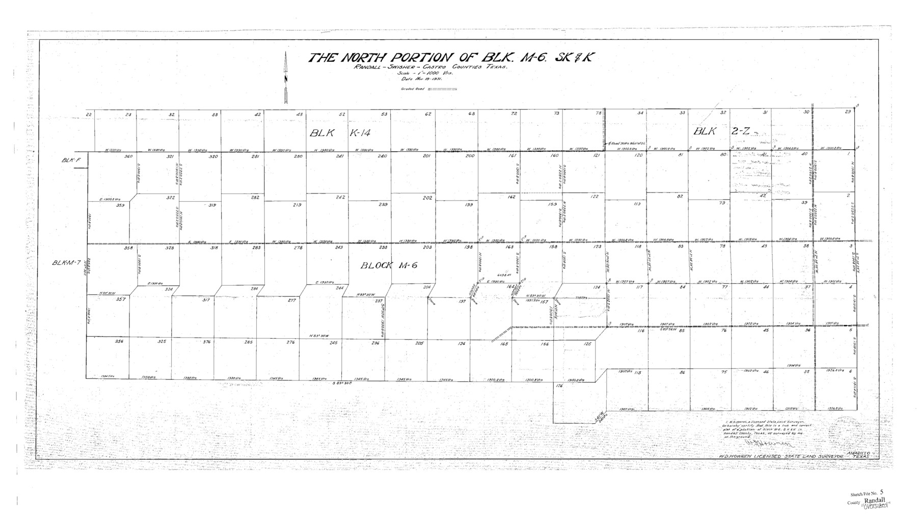
The North Portion of Blk. M-6 S. K. & K., Randall-Swisher-Castro Counties, Texas
-
Map/Doc
10583
-
Collection
General Map Collection
-
Object Dates
11/18/1931 (Creation Date)
11/30/1931 (File Date)
-
People and Organizations
W.D. Howren (Surveyor/Engineer)
-
Counties
Randall Swisher Castro
-
Subjects
Surveying Sketch File
-
Height x Width
23.9 x 41.7 inches
60.7 x 105.9 cm
-
Medium
paper, print
-
Scale
1" = 1000 varas
Part of: General Map Collection
Hudspeth County Working Sketch 2

Print $20.00
- Digital $50.00
Hudspeth County Working Sketch 2
1912
Size 22.3 x 17.7 inches
Map/Doc 66283
Karnes County Working Sketch 9

Print $20.00
- Digital $50.00
Karnes County Working Sketch 9
1962
Size 37.1 x 28.9 inches
Map/Doc 66657
[Surveys in Waller County]
![78367, [Surveys in Waller County], General Map Collection](https://historictexasmaps.com/wmedia_w700/maps/78367.tif.jpg)
Print $20.00
- Digital $50.00
[Surveys in Waller County]
Size 21.5 x 28.7 inches
Map/Doc 78367
Map of a part of Fisher and Miller's Colony - Harvey's District

Print $20.00
- Digital $50.00
Map of a part of Fisher and Miller's Colony - Harvey's District
1856
Size 18.6 x 24.5 inches
Map/Doc 4658
Houston County Working Sketch 35, revised

Print $20.00
- Digital $50.00
Houston County Working Sketch 35, revised
1999
Size 27.8 x 31.6 inches
Map/Doc 66266
Johnson's Texas

Print $20.00
- Digital $50.00
Johnson's Texas
1866
Size 18.4 x 27.2 inches
Map/Doc 89279
Map of Armstrong County

Print $20.00
- Digital $50.00
Map of Armstrong County
1881
Size 25.8 x 19.9 inches
Map/Doc 3243
Cameron County Rolled Sketch 20D

Print $20.00
- Digital $50.00
Cameron County Rolled Sketch 20D
Size 14.3 x 13.9 inches
Map/Doc 5477
Hartley County Sketch File 5

Print $8.00
- Digital $50.00
Hartley County Sketch File 5
1883
Size 12.7 x 8.1 inches
Map/Doc 26090
Kleberg County Rolled Sketch 11

Print $20.00
- Digital $50.00
Kleberg County Rolled Sketch 11
1915
Size 21.0 x 26.5 inches
Map/Doc 6552
Medina County Working Sketch 12

Print $20.00
- Digital $50.00
Medina County Working Sketch 12
1971
Size 24.2 x 23.9 inches
Map/Doc 70927
Upshur County

Print $20.00
- Digital $50.00
Upshur County
1945
Size 37.7 x 33.5 inches
Map/Doc 77442
You may also like
Wood County Sketch File 9

Print $4.00
- Digital $50.00
Wood County Sketch File 9
1852
Size 7.4 x 8.9 inches
Map/Doc 40656
Flight Mission No. BQR-4K, Frame 59, Brazoria County

Print $20.00
- Digital $50.00
Flight Mission No. BQR-4K, Frame 59, Brazoria County
1952
Size 18.7 x 22.4 inches
Map/Doc 83992
Lavaca County Rolled Sketch 8

Print $40.00
- Digital $50.00
Lavaca County Rolled Sketch 8
1982
Size 36.5 x 65.6 inches
Map/Doc 10289
Flight Mission No. DQO-6K, Frame 21, Galveston County

Print $20.00
- Digital $50.00
Flight Mission No. DQO-6K, Frame 21, Galveston County
1952
Size 18.7 x 22.3 inches
Map/Doc 85094
Bowles's New Pocket Map of North America, divided into it's Provinces, Colonies, &c.

Print $20.00
- Digital $50.00
Bowles's New Pocket Map of North America, divided into it's Provinces, Colonies, &c.
1776
Size 21.8 x 29.0 inches
Map/Doc 93732
Motley County Sketch File 12 (N)

Print $3.00
- Digital $50.00
Motley County Sketch File 12 (N)
Size 20.0 x 18.4 inches
Map/Doc 42141
Galveston County Sketch File 11

Print $40.00
- Digital $50.00
Galveston County Sketch File 11
Size 16.3 x 13.2 inches
Map/Doc 23374
[Surveys between the Little River and Darr's Creek]
![69757, [Surveys between the Little River and Darr's Creek], General Map Collection](https://historictexasmaps.com/wmedia_w700/maps/69757.tif.jpg)
Print $2.00
- Digital $50.00
[Surveys between the Little River and Darr's Creek]
1846
Size 7.6 x 7.9 inches
Map/Doc 69757

Runnels County Rolled Sketch 46

Print $20.00
- Digital $50.00
Runnels County Rolled Sketch 46
1954
Size 33.5 x 39.0 inches
Map/Doc 9872
Anderson County Rolled Sketch 12

Print $20.00
- Digital $50.00
Anderson County Rolled Sketch 12
1954
Size 24.6 x 21.3 inches
Map/Doc 77157
Engineer's Office, Department of the Gulf Map No. 59, Texas prepared by order of Maj. Gen. N. P. Banks under direction of Capt. P. C. Hains, U. S. Engr. & Chief Engr., Dept. of the Gulf

Print $20.00
- Digital $50.00
Engineer's Office, Department of the Gulf Map No. 59, Texas prepared by order of Maj. Gen. N. P. Banks under direction of Capt. P. C. Hains, U. S. Engr. & Chief Engr., Dept. of the Gulf
1865
Size 18.3 x 27.6 inches
Map/Doc 72717