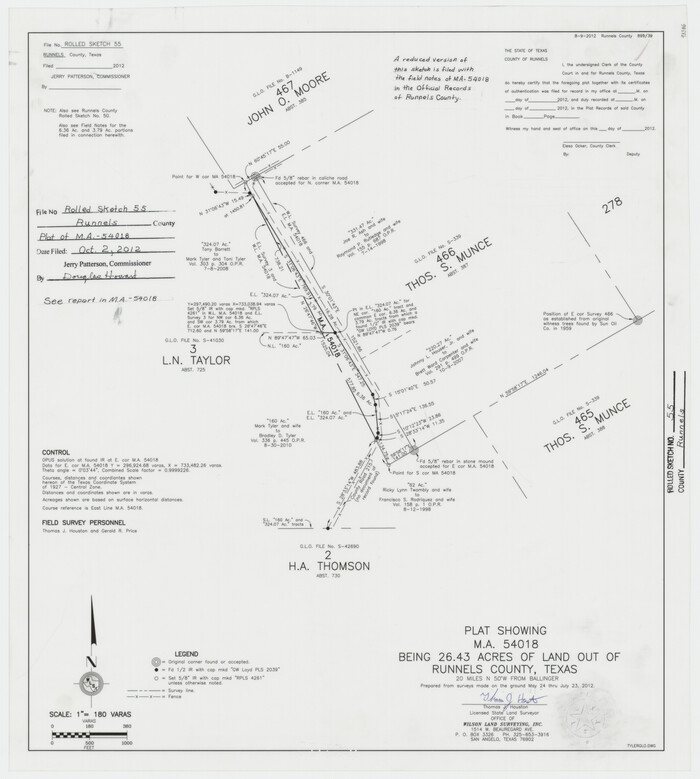
Runnels County Rolled Sketch 55
2012
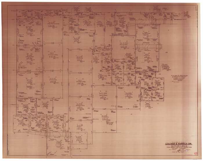
Coleman County Working Sketch 24
1989

Runnels County Working Sketch 36
1984

Runnels County Working Sketch 35b
1981
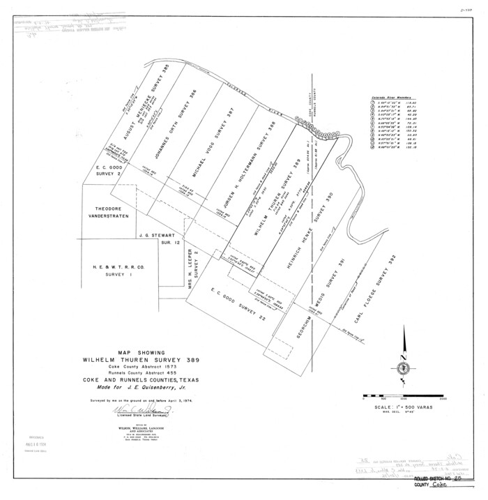
Coke County Rolled Sketch 25
1974
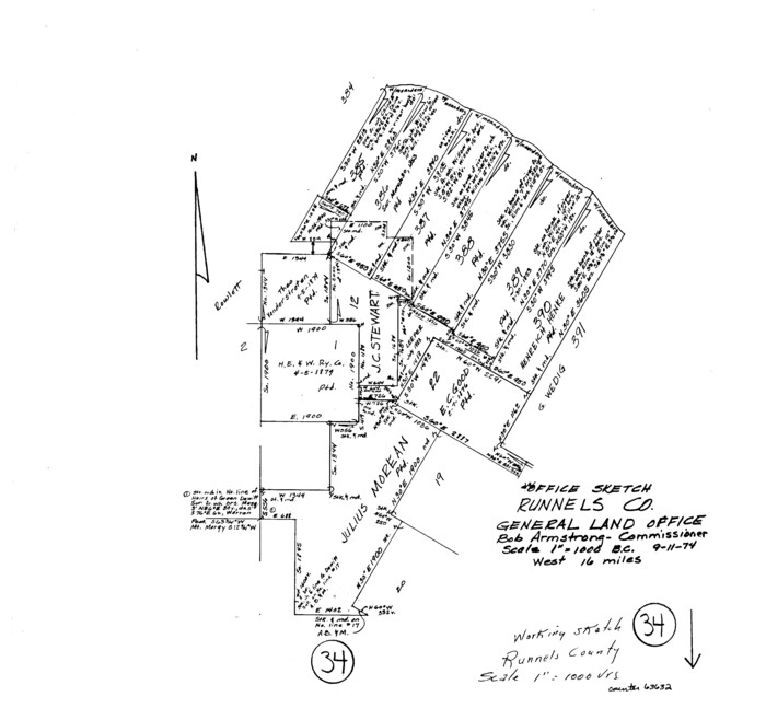
Runnels County Working Sketch 34
1974

General Highway Map, Runnels County, Texas
1961
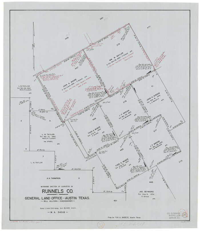
Runnels County Working Sketch 32
1959
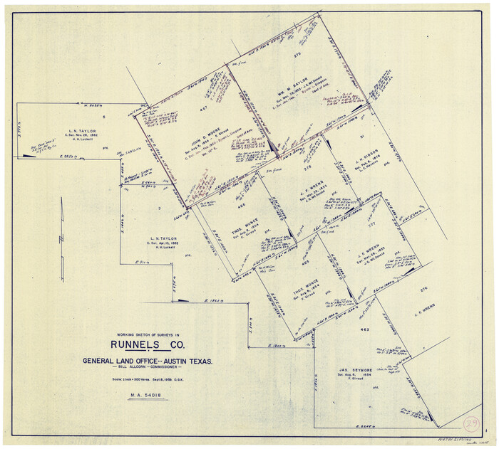
Runnels County Working Sketch 29
1959
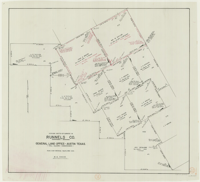
Runnels County Working Sketch 31
1959
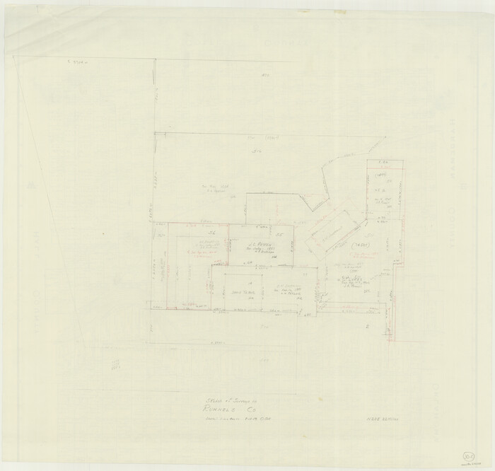
Runnels County Working Sketch 30c
1959
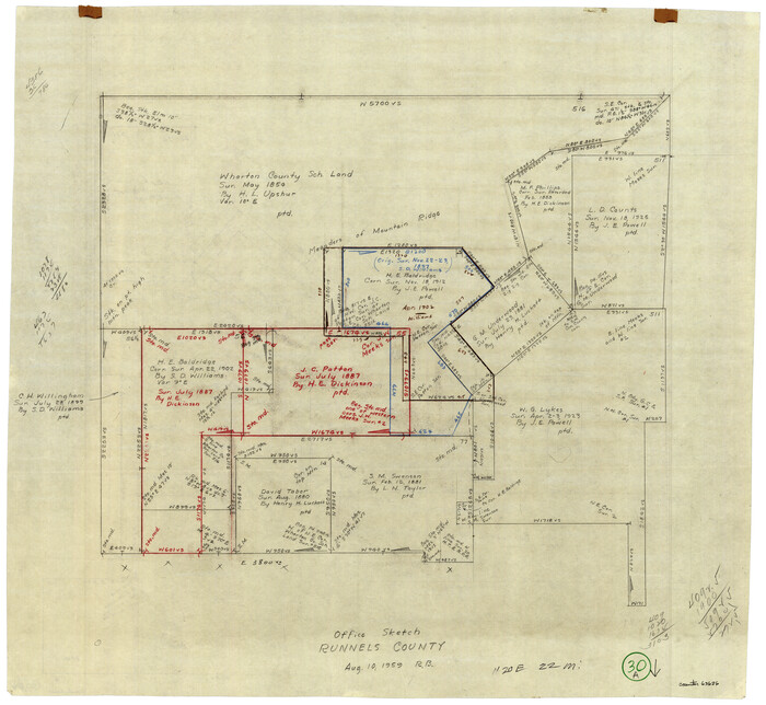
Runnels County Working Sketch 30a
1959
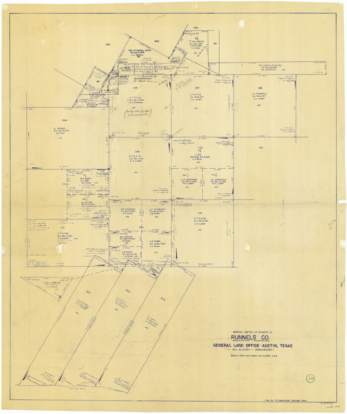
Runnels County Working Sketch 28
1959
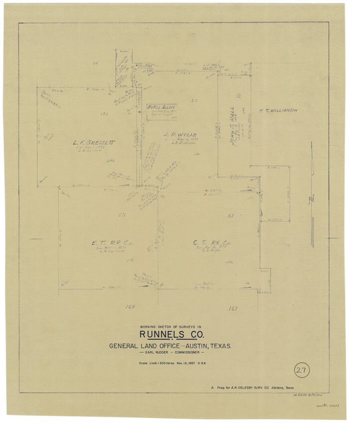
Runnels County Working Sketch 27
1957
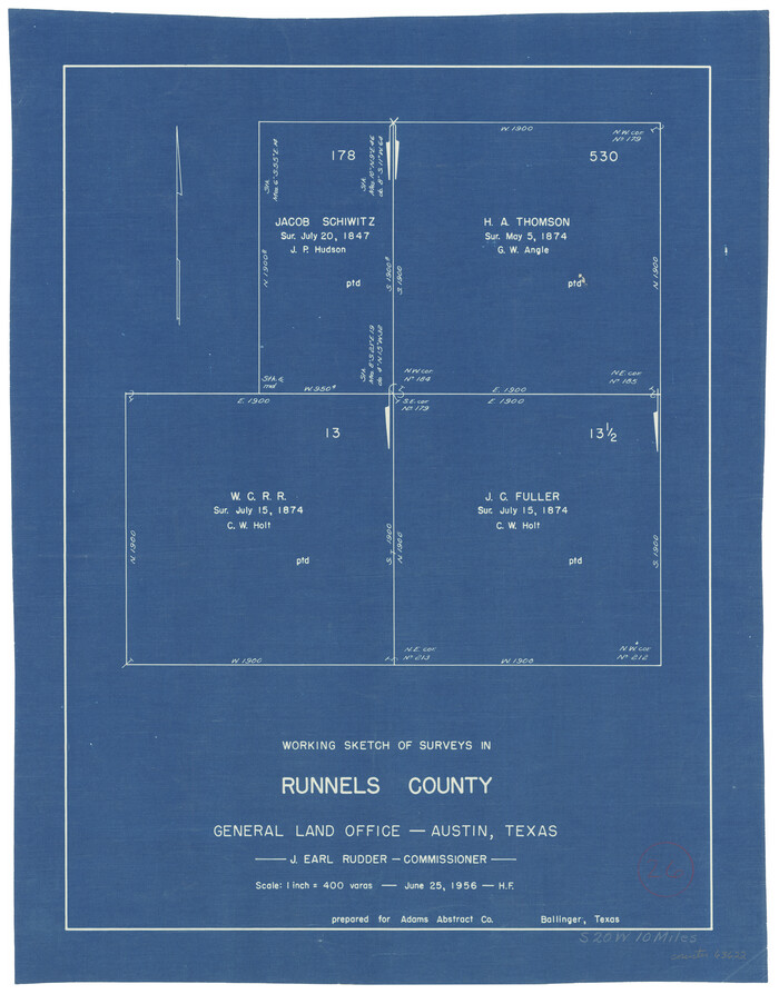
Runnels County Working Sketch 26
1956
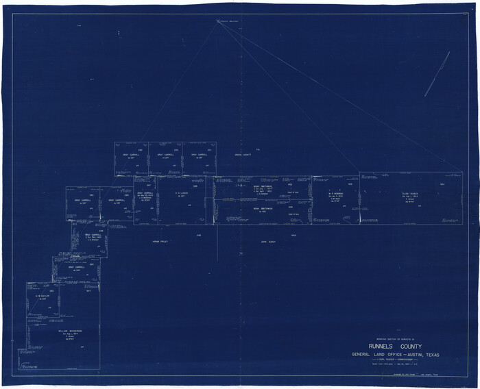
Runnels County Working Sketch 25
1955

Runnels County Rolled Sketch 47
1954

Runnels County Rolled Sketch 46
1954

Runnels County Rolled Sketch 45
1954
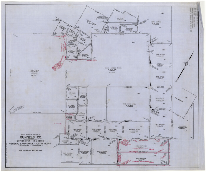
Runnels County Rolled Sketch 46
1954
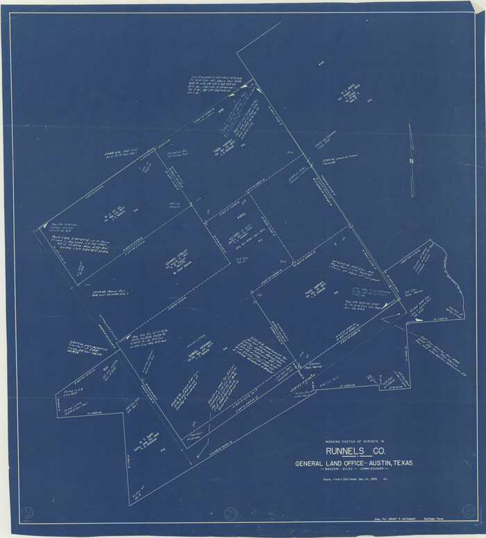
Runnels County Working Sketch 23
1953
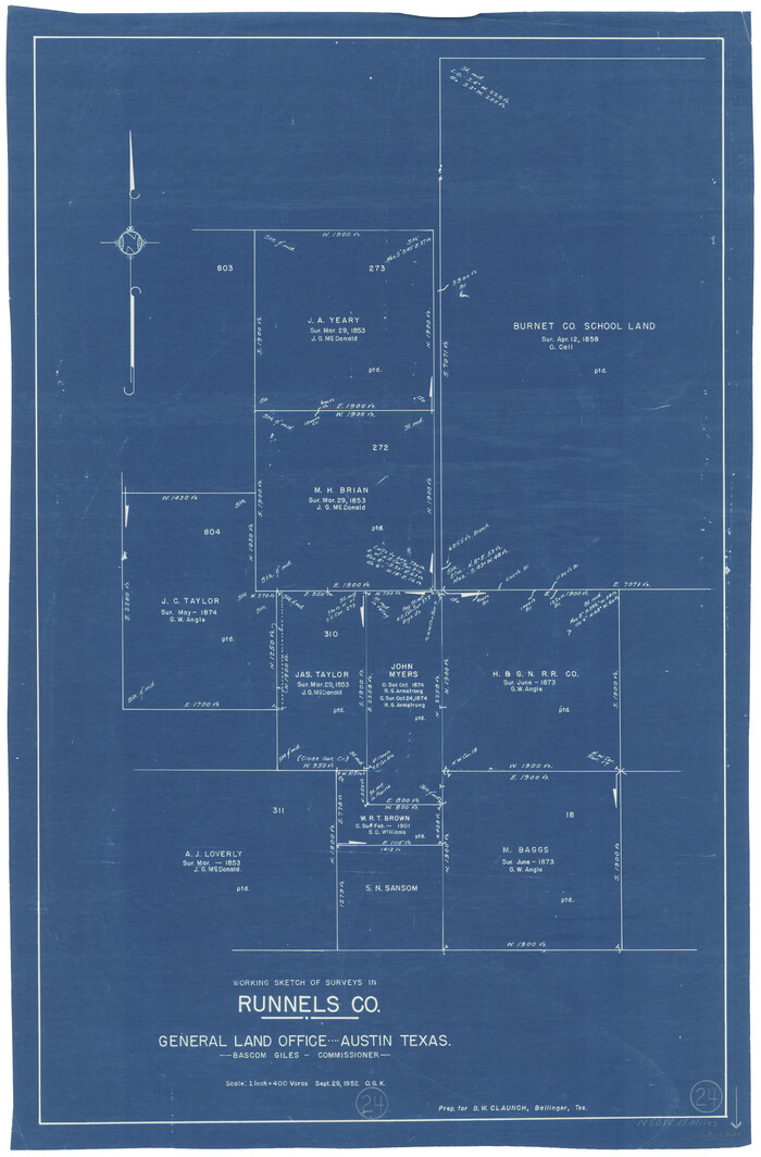
Runnels County Working Sketch 24
1952

Runnels County Rolled Sketch 42
1951

Coleman County Rolled Sketch 8
1951
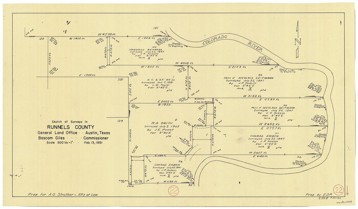
Runnels County Working Sketch 22
1951
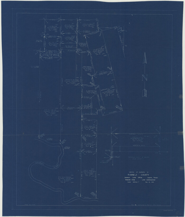
Runnels County Working Sketch 21
1951

Runnels County Rolled Sketch 38
1950
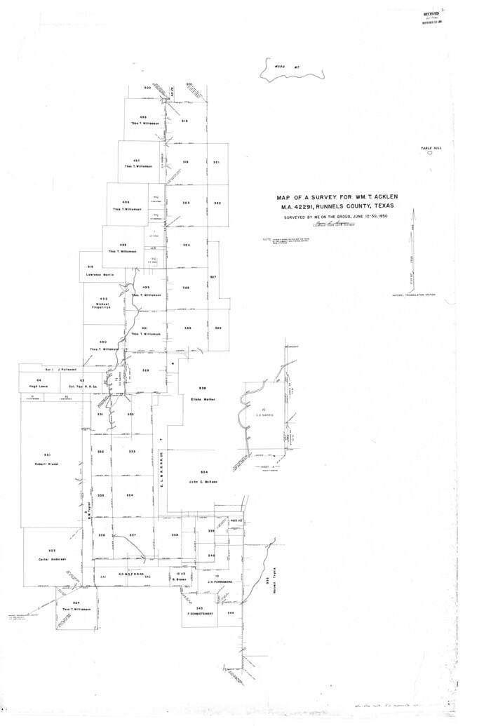
Runnels County Rolled Sketch 36
1950

Runnels County Rolled Sketch 35
1950
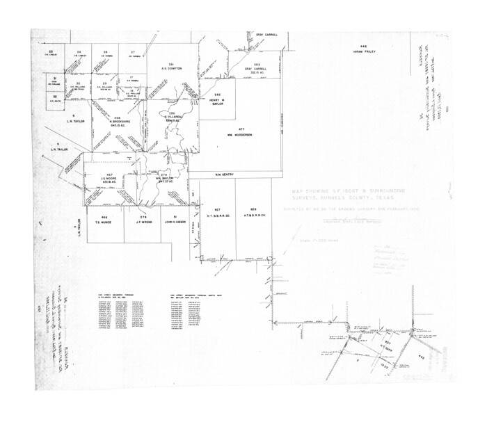
Runnels County Rolled Sketch 34
1950

Runnels County Rolled Sketch 55
2012
-
Size
20.9 x 18.7 inches
-
Map/Doc
93386
-
Creation Date
2012

Coleman County Working Sketch 24
1989
-
Size
43.1 x 54.3 inches
-
Map/Doc
68277
-
Creation Date
1989

Runnels County Working Sketch 36
1984
-
Size
31.9 x 39.2 inches
-
Map/Doc
63635
-
Creation Date
1984

Runnels County Working Sketch 35b
1981
-
Size
36.0 x 38.6 inches
-
Map/Doc
63634
-
Creation Date
1981

Coke County Rolled Sketch 25
1974
-
Size
24.9 x 24.3 inches
-
Map/Doc
5525
-
Creation Date
1974

Runnels County Working Sketch 34
1974
-
Size
14.0 x 14.9 inches
-
Map/Doc
63632
-
Creation Date
1974

General Highway Map, Runnels County, Texas
1961
-
Size
24.6 x 18.2 inches
-
Map/Doc
79642
-
Creation Date
1961

Runnels County Working Sketch 32
1959
-
Size
27.7 x 24.0 inches
-
Map/Doc
63630
-
Creation Date
1959

Runnels County Working Sketch 29
1959
-
Size
27.1 x 30.0 inches
-
Map/Doc
63625
-
Creation Date
1959

Runnels County Working Sketch 31
1959
-
Size
28.3 x 31.3 inches
-
Map/Doc
63629
-
Creation Date
1959

Runnels County Working Sketch 30c
1959
-
Size
30.5 x 32.1 inches
-
Map/Doc
63628
-
Creation Date
1959

Runnels County Working Sketch 30a
1959
-
Size
23.3 x 25.4 inches
-
Map/Doc
63626
-
Creation Date
1959

Runnels County Working Sketch 28
1959
-
Size
41.9 x 35.2 inches
-
Map/Doc
63624
-
Creation Date
1959

Runnels County Working Sketch 27
1957
-
Size
27.1 x 22.1 inches
-
Map/Doc
63623
-
Creation Date
1957

Runnels County Working Sketch 26
1956
-
Size
17.3 x 13.6 inches
-
Map/Doc
63622
-
Creation Date
1956

Runnels County Working Sketch 25
1955
-
Size
38.2 x 47.1 inches
-
Map/Doc
63621
-
Creation Date
1955

Runnels County Rolled Sketch 47
1954
-
Size
49.9 x 30.5 inches
-
Map/Doc
76167
-
Creation Date
1954

Runnels County Rolled Sketch 46
1954
-
Size
33.5 x 39.0 inches
-
Map/Doc
9872
-
Creation Date
1954

Runnels County Rolled Sketch 45
1954
-
Size
32.1 x 41.0 inches
-
Map/Doc
7532
-
Creation Date
1954

Runnels County Rolled Sketch 46
1954
-
Size
32.3 x 38.5 inches
-
Map/Doc
10622
-
Creation Date
1954

Runnels County Working Sketch 23
1953
-
Size
34.7 x 31.4 inches
-
Map/Doc
63619
-
Creation Date
1953

Runnels County Working Sketch 24
1952
-
Size
30.6 x 20.0 inches
-
Map/Doc
63620
-
Creation Date
1952

Runnels County Rolled Sketch 42
1951
-
Size
30.8 x 37.4 inches
-
Map/Doc
7530
-
Creation Date
1951

Coleman County Rolled Sketch 8
1951
-
Size
58.8 x 40.8 inches
-
Map/Doc
8634
-
Creation Date
1951

Runnels County Working Sketch 22
1951
-
Size
16.2 x 28.1 inches
-
Map/Doc
63618
-
Creation Date
1951

Runnels County Working Sketch 21
1951
-
Size
43.6 x 37.0 inches
-
Map/Doc
63617
-
Creation Date
1951

Runnels County Rolled Sketch 38
1950
-
Size
33.9 x 46.6 inches
-
Map/Doc
7524
-
Creation Date
1950

Runnels County Rolled Sketch 36
1950
-
Size
66.6 x 45.0 inches
-
Map/Doc
9869
-
Creation Date
1950

Runnels County Rolled Sketch 35
1950
-
Size
34.1 x 44.6 inches
-
Map/Doc
7523
-
Creation Date
1950

Runnels County Rolled Sketch 34
1950
-
Size
30.8 x 35.5 inches
-
Map/Doc
7521
-
Creation Date
1950