187 results

Callahan County Sketch File 11
35887, Callahan County Sketch File 11, General Map Collection
Print $64.00 - Digital $50.00

Callahan County Sketch File 11

Size: 11.4 x 8.4 inches
35887
Coke County Rolled Sketch 16
8630.tif
Print $20.00 - Digital $50.00

Coke County Rolled Sketch 16

1950

Size: 44.0 x 34.3 inches
8630
Coke County Rolled Sketch 16A
5518.tif
Print $20.00 - Digital $50.00

Coke County Rolled Sketch 16A

Size: 32.3 x 30.4 inches
5518
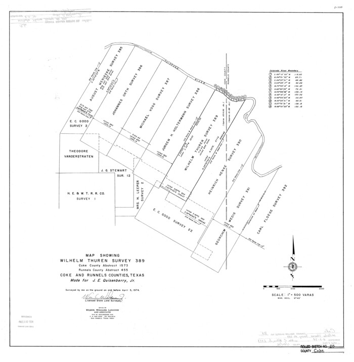
Coke County Rolled Sketch 25
5525.tif
Print $20.00 - Digital $50.00

Coke County Rolled Sketch 25

1974

Size: 24.9 x 24.3 inches
5525
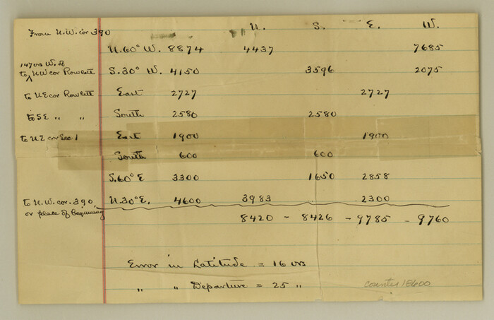
Coke County Sketch File 15
18600, Coke County Sketch File 15, General Map Collection
Print $12.00 - Digital $50.00

Coke County Sketch File 15

1893

Size: 5.6 x 8.6 inches
18600
Coke County Sketch File 16
11108, Coke County Sketch File 16, General Map Collection
Print $20.00 - Digital $50.00

Coke County Sketch File 16

1902

Size: 18.7 x 16.2 inches
11108
Coke County Sketch File 36
18652, Coke County Sketch File 36, General Map Collection
Print $24.00 - Digital $50.00

Coke County Sketch File 36

1918

Size: 14.1 x 8.5 inches
18652
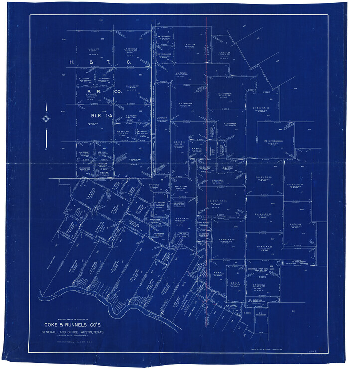
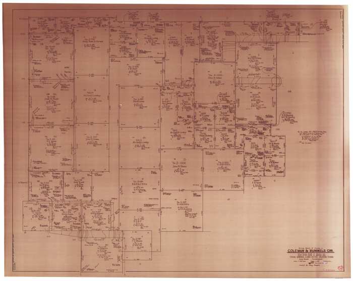
Coke County Working Sketch 13
68050-1.tif
Print $20.00 - Digital $50.00

Coke County Working Sketch 13

1947

Size: 47.0 x 44.5 inches
68050
Coleman County Rolled Sketch 7
5530.tif
Print $20.00 - Digital $50.00

Coleman County Rolled Sketch 7

Size: 19.3 x 14.3 inches
5530
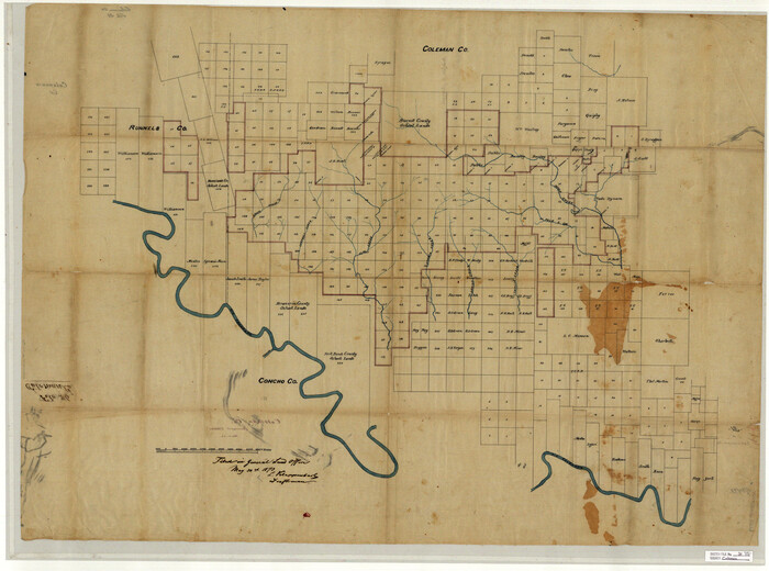
Coleman County Rolled Sketch 8
8634.tif
Print $40.00 - Digital $50.00

Coleman County Rolled Sketch 8

1951

Size: 58.8 x 40.8 inches
8634
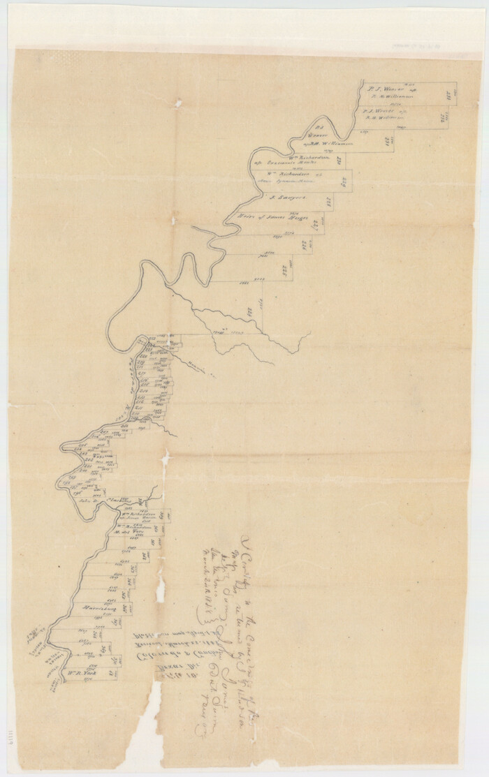
Coleman County Sketch File 10
11119, Coleman County Sketch File 10, General Map Collection
Print $20.00 - Digital $50.00

Coleman County Sketch File 10

1848

Size: 28.0 x 13.2 inches
11119
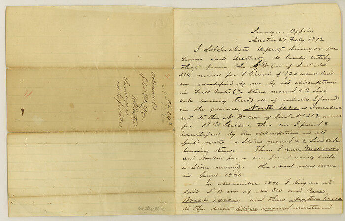
Coleman County Sketch File 24a
18708, Coleman County Sketch File 24a, General Map Collection
Print $6.00 - Digital $50.00

Coleman County Sketch File 24a

1872

Size: 10.2 x 15.9 inches
18708
Coleman County Sketch File 26a
11120, Coleman County Sketch File 26a, General Map Collection
Print $3.00 - Digital $50.00

Coleman County Sketch File 26a

Size: 10.6 x 15.8 inches
11120
Coleman County Sketch File 31
10339, Coleman County Sketch File 31, General Map Collection
Print $20.00 - Digital $50.00

Coleman County Sketch File 31

Size: 31.2 x 41.9 inches
10339
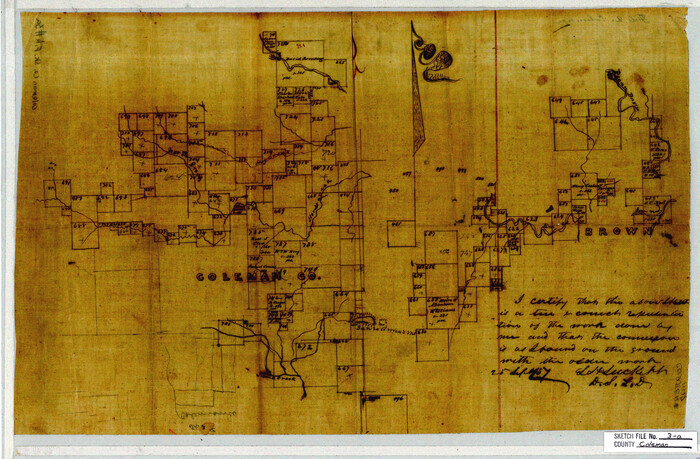
Coleman County Sketch File 3a
11117, Coleman County Sketch File 3a, General Map Collection
Print $20.00 - Digital $50.00

Coleman County Sketch File 3a

1857

Size: 12.6 x 19.2 inches
11117
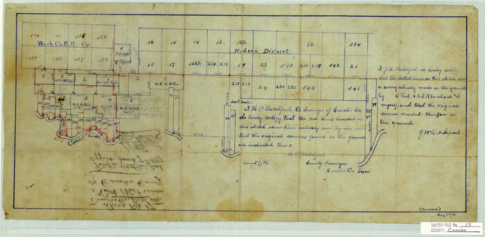
Concho County Sketch File 17
11152, Concho County Sketch File 17, General Map Collection
Print $20.00 - Digital $50.00

Concho County Sketch File 17

1896

Size: 10.2 x 20.9 inches
11152
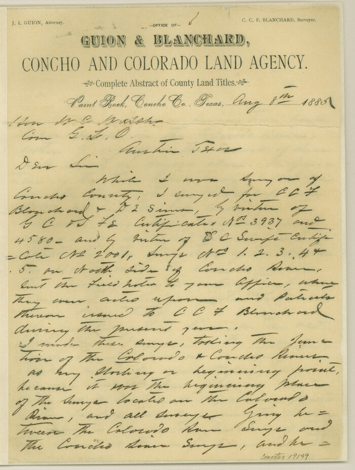
Concho County Sketch File 24
19149, Concho County Sketch File 24, General Map Collection
Print $12.00 - Digital $50.00

Concho County Sketch File 24

1885

Size: 11.1 x 8.4 inches
19149
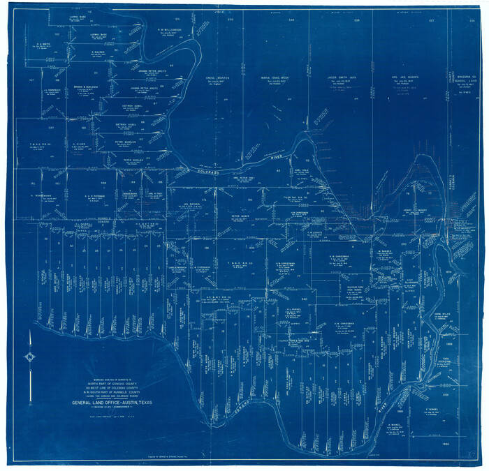
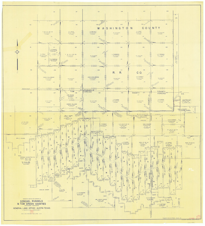
Concho County Working Sketch 8
68190-1.tif
Print $20.00 - Digital $50.00

Concho County Working Sketch 8

1948

Size: 47.0 x 42.6 inches
68190
Field Notes of Surveys in Travis District (Callahan, Coleman, and Runnels Counties)
81675, Field Notes of Surveys in Travis District (Callahan, Coleman, and Runnels Counties), General Map Collection

Field Notes of Surveys in Travis District (Callahan, Coleman, and Runnels Counties)

81675
General Highway Map, Runnels County, Texas
79231.tif
Print $20.00

General Highway Map, Runnels County, Texas

1940

Size: 24.7 x 18.3 inches
79231
General Highway Map, Runnels County, Texas
79642.tif
Print $20.00

General Highway Map, Runnels County, Texas

1961
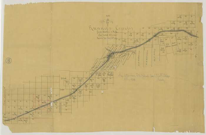
Size: 24.6 x 18.2 inches
79642
Location Through GC&SFRRCo., Runnels County, Texas
64509.tif
Print $20.00 - Digital $50.00

Location Through GC&SFRRCo., Runnels County, Texas

1898

Size: 21.5 x 32.8 inches
64509
Map of Fisher and Miller's Colony made from the records in the Office of the District Surveyor of Bexar comprising also all the recent surveys
82026.tif
Print $20.00 - Digital $50.00

Map of Fisher and Miller's Colony made from the records in the Office of the District Surveyor of Bexar comprising also all the recent surveys

1855
Size: 27.2 x 39.6 inches
82026
Map of Runnels Co[unty]
88991.tif
Print $20.00

Map of Runnels Co[unty]

1879

Size: 24.5 x 18.2 inches
88991
Map of Runnels County
16803-GC.tif
Print $20.00 - Digital $50.00

Map of Runnels County

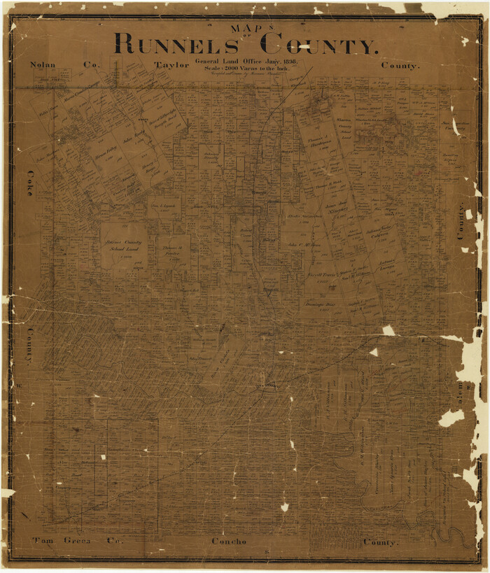
1898

Size: 43.2 x 36.9 inches
16803
Map of Runnels County
4000.tif
Print $20.00 - Digital $50.00

Map of Runnels County

1887

Size: 24.7 x 19.9 inches
4000
Map of Runnels County
4003.tif
Print $20.00 - Digital $50.00

Map of Runnels County

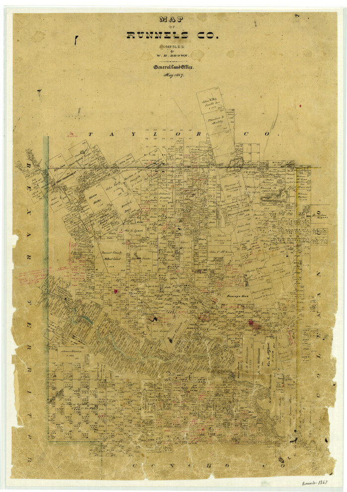
1867

Size: 27.3 x 19.3 inches
4003
Map of Runnels County
4004.tif
Print $20.00 - Digital $50.00

Map of Runnels County

1858

Size: 24.7 x 25.6 inches
4004
Map of Runnels County
4620.tif
Print $20.00 - Digital $50.00

Map of Runnels County

1879

Size: 25.9 x 18.5 inches
4620
Map of Runnels County
63008.tif
Print $20.00 - Digital $50.00

Map of Runnels County

1898

Size: 44.7 x 39.5 inches
63008
Callahan County Sketch File 11
35887, Callahan County Sketch File 11, General Map Collection
Print $64.00 - Digital $50.00

Callahan County Sketch File 11

  • Size

    11.4 x 8.4 inches

  • Map/Doc

    35887

Coke County Rolled Sketch 16
8630, Coke County Rolled Sketch 16, General Map Collection
Print $20.00 - Digital $50.00

Coke County Rolled Sketch 16

1950

  • Size

    44.0 x 34.3 inches

  • Map/Doc

    8630

  • Creation Date

    1950

Coke County Rolled Sketch 16A
5518, Coke County Rolled Sketch 16A, General Map Collection
Print $20.00 - Digital $50.00

Coke County Rolled Sketch 16A

  • Size

    32.3 x 30.4 inches

  • Map/Doc

    5518

Coke County Rolled Sketch 25
5525, Coke County Rolled Sketch 25, General Map Collection
Print $20.00 - Digital $50.00

Coke County Rolled Sketch 25

1974

  • Size

    24.9 x 24.3 inches

  • Map/Doc

    5525

  • Creation Date

    1974

Coke County Sketch File 15
18600, Coke County Sketch File 15, General Map Collection
Print $12.00 - Digital $50.00

Coke County Sketch File 15

1893

  • Size

    5.6 x 8.6 inches

  • Map/Doc

    18600

  • Creation Date

    1893

Coke County Sketch File 16
11108, Coke County Sketch File 16, General Map Collection
Print $20.00 - Digital $50.00

Coke County Sketch File 16

1902

  • Size

    18.7 x 16.2 inches

  • Map/Doc

    11108

  • Creation Date

    1902

Coke County Sketch File 36
18652, Coke County Sketch File 36, General Map Collection
Print $24.00 - Digital $50.00

Coke County Sketch File 36

1918

  • Size

    14.1 x 8.5 inches

  • Map/Doc

    18652

  • Creation Date

    1918

Coke County Working Sketch 13
68050, Coke County Working Sketch 13, General Map Collection
Print $20.00 - Digital $50.00

Coke County Working Sketch 13

1947

  • Size

    47.0 x 44.5 inches

  • Map/Doc

    68050

  • Creation Date

    1947

Coleman County Rolled Sketch 7
5530, Coleman County Rolled Sketch 7, General Map Collection
Print $20.00 - Digital $50.00

Coleman County Rolled Sketch 7

  • Size

    19.3 x 14.3 inches

  • Map/Doc

    5530

Coleman County Rolled Sketch 8
8634, Coleman County Rolled Sketch 8, General Map Collection
Print $40.00 - Digital $50.00

Coleman County Rolled Sketch 8

1951

  • Size

    58.8 x 40.8 inches

  • Map/Doc

    8634

  • Creation Date

    1951

Coleman County Sketch File 10
11119, Coleman County Sketch File 10, General Map Collection
Print $20.00 - Digital $50.00

Coleman County Sketch File 10

1848

  • Size

    28.0 x 13.2 inches

  • Map/Doc

    11119

  • Creation Date

    1848

Coleman County Sketch File 24a
18708, Coleman County Sketch File 24a, General Map Collection
Print $6.00 - Digital $50.00

Coleman County Sketch File 24a

1872

  • Size

    10.2 x 15.9 inches

  • Map/Doc

    18708

  • Creation Date

    1872

Coleman County Sketch File 26a
11120, Coleman County Sketch File 26a, General Map Collection
Print $3.00 - Digital $50.00

Coleman County Sketch File 26a

  • Size

    10.6 x 15.8 inches

  • Map/Doc

    11120

Coleman County Sketch File 31
10339, Coleman County Sketch File 31, General Map Collection
Print $20.00 - Digital $50.00

Coleman County Sketch File 31

  • Size

    31.2 x 41.9 inches

  • Map/Doc

    10339

Coleman County Sketch File 3a
11117, Coleman County Sketch File 3a, General Map Collection
Print $20.00 - Digital $50.00

Coleman County Sketch File 3a

1857

  • Size

    12.6 x 19.2 inches

  • Map/Doc

    11117

  • Creation Date

    1857

Concho County Sketch File 17
11152, Concho County Sketch File 17, General Map Collection
Print $20.00 - Digital $50.00

Concho County Sketch File 17

1896

  • Size

    10.2 x 20.9 inches

  • Map/Doc

    11152

  • Creation Date

    1896

Concho County Sketch File 24
19149, Concho County Sketch File 24, General Map Collection
Print $12.00 - Digital $50.00

Concho County Sketch File 24

1885

  • Size

    11.1 x 8.4 inches

  • Map/Doc

    19149

  • Creation Date

    1885

Concho County Working Sketch 8
68190, Concho County Working Sketch 8, General Map Collection
Print $20.00 - Digital $50.00

Concho County Working Sketch 8

1948

  • Size

    47.0 x 42.6 inches

  • Map/Doc

    68190

  • Creation Date

    1948

Field Notes of Surveys in Travis District (Callahan, Coleman, and Runnels Counties)
81675, Field Notes of Surveys in Travis District (Callahan, Coleman, and Runnels Counties), General Map Collection

Field Notes of Surveys in Travis District (Callahan, Coleman, and Runnels Counties)

  • Map/Doc

    81675

General Highway Map, Runnels County, Texas
79231, General Highway Map, Runnels County, Texas, Texas State Library and Archives
Print $20.00

General Highway Map, Runnels County, Texas

1940

  • Size

    24.7 x 18.3 inches

  • Map/Doc

    79231

  • Creation Date

    1940

General Highway Map, Runnels County, Texas
79642, General Highway Map, Runnels County, Texas, Texas State Library and Archives
Print $20.00

General Highway Map, Runnels County, Texas

1961

  • Size

    24.6 x 18.2 inches

  • Map/Doc

    79642

  • Creation Date

    1961

Location Through GC&SFRRCo., Runnels County, Texas
64509, Location Through GC&SFRRCo., Runnels County, Texas, General Map Collection
Print $20.00 - Digital $50.00

Location Through GC&SFRRCo., Runnels County, Texas

1898

  • Size

    21.5 x 32.8 inches

  • Map/Doc

    64509

  • Creation Date

    1898

Map of Fisher and Miller's Colony made from the records in the Office of the District Surveyor of Bexar comprising also all the recent surveys
82026, Map of Fisher and Miller's Colony made from the records in the Office of the District Surveyor of Bexar comprising also all the recent surveys, General Map Collection
Print $20.00 - Digital $50.00

Map of Fisher and Miller's Colony made from the records in the Office of the District Surveyor of Bexar comprising also all the recent surveys

1855

  • Size

    27.2 x 39.6 inches

  • Map/Doc

    82026

  • Creation Date

    1855

Map of Runnels Co[unty]
88991, Map of Runnels Co[unty], Library of Congress
Print $20.00

Map of Runnels Co[unty]

1879

  • Size

    24.5 x 18.2 inches

  • Map/Doc

    88991

  • Creation Date

    1879

Map of Runnels County
16803, Map of Runnels County, General Map Collection
Print $20.00 - Digital $50.00

Map of Runnels County

1898

  • Size

    43.2 x 36.9 inches

  • Map/Doc

    16803

  • Creation Date

    1898

Map of Runnels County
4000, Map of Runnels County, General Map Collection
Print $20.00 - Digital $50.00

Map of Runnels County

1887

  • Size

    24.7 x 19.9 inches

  • Map/Doc

    4000

  • Creation Date

    1887

Map of Runnels County
4003, Map of Runnels County, General Map Collection
Print $20.00 - Digital $50.00

Map of Runnels County

1867

  • Size

    27.3 x 19.3 inches

  • Map/Doc

    4003

  • Creation Date

    1867

Map of Runnels County
4004, Map of Runnels County, General Map Collection
Print $20.00 - Digital $50.00

Map of Runnels County

1858

  • Size

    24.7 x 25.6 inches

  • Map/Doc

    4004

  • Creation Date

    1858

Map of Runnels County
4620, Map of Runnels County, General Map Collection
Print $20.00 - Digital $50.00

Map of Runnels County

1879

  • Size

    25.9 x 18.5 inches

  • Map/Doc

    4620

  • Creation Date

    1879

Map of Runnels County
63008, Map of Runnels County, General Map Collection
Print $20.00 - Digital $50.00

Map of Runnels County

1898

  • Size

    44.7 x 39.5 inches

  • Map/Doc

    63008

  • Creation Date

    1898