
The Republic County of San Augustine. Boundaries Defined, December 14, 1837
2020
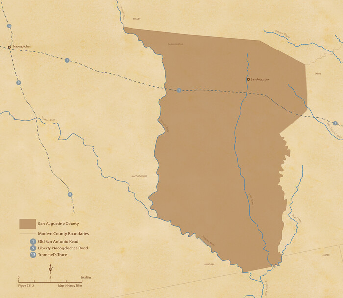
The Republic County of San Augustine. December 29, 1845
2020
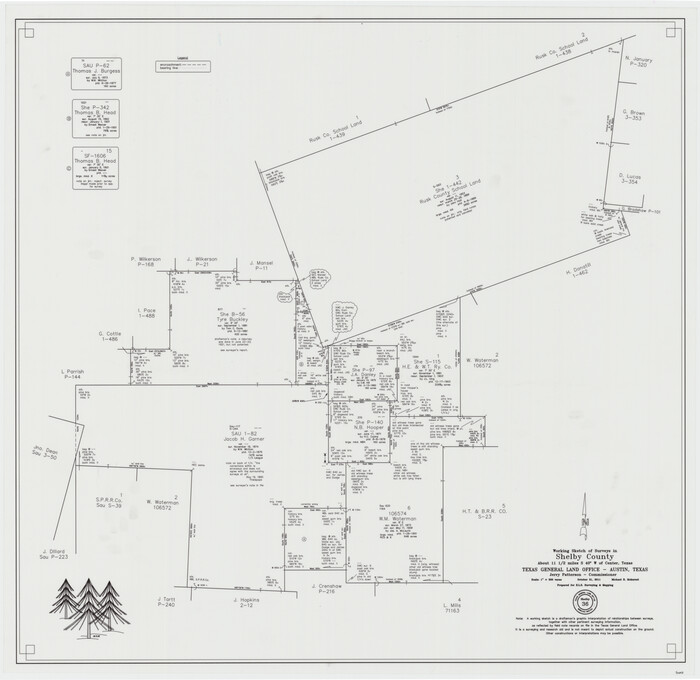
Shelby County Working Sketch 36
2011
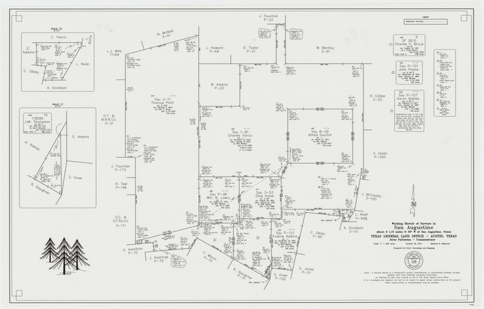
San Augustine County Working Sketch 28
2011

San Augustine County Working Sketch 27
2009
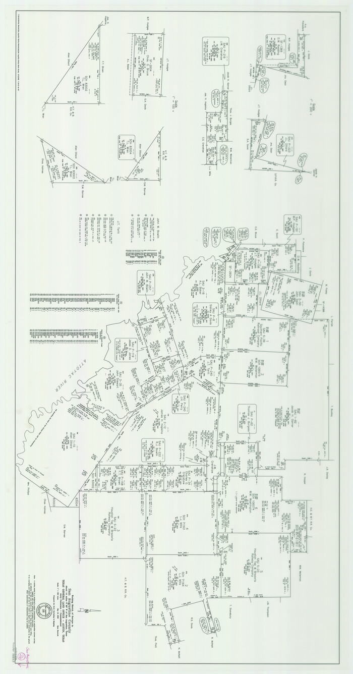
San Augustine County Working Sketch 26
2008
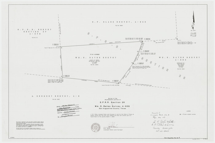
San Augustine County Rolled Sketch 4
2004

San Augustine County Sketch File 23
1992
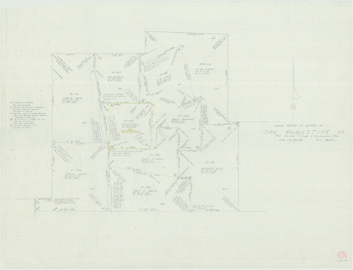
San Augustine County Working Sketch 25
1976
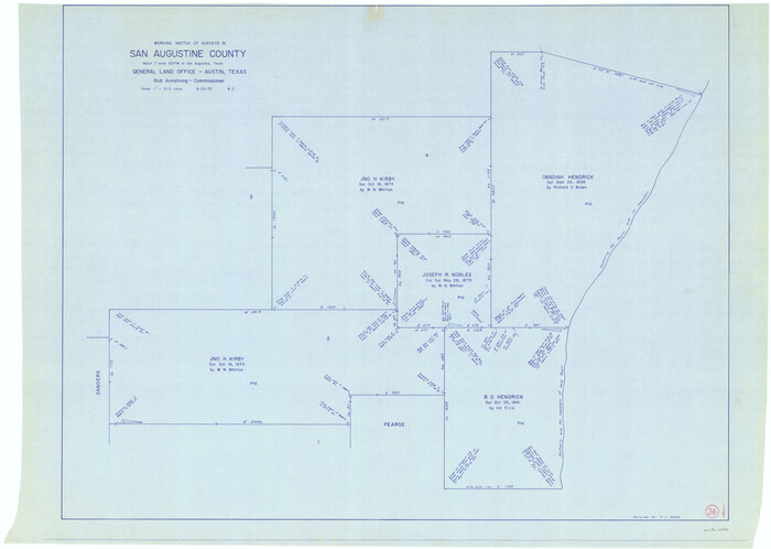
San Augustine County Working Sketch 24
1975

San Augustine County Working Sketch 23
1974
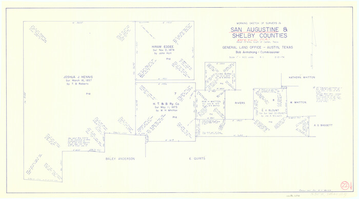
San Augustine County Working Sketch 22
1974

San Augustine County Working Sketch 21
1973

San Augustine County Rolled Sketch 3
1969
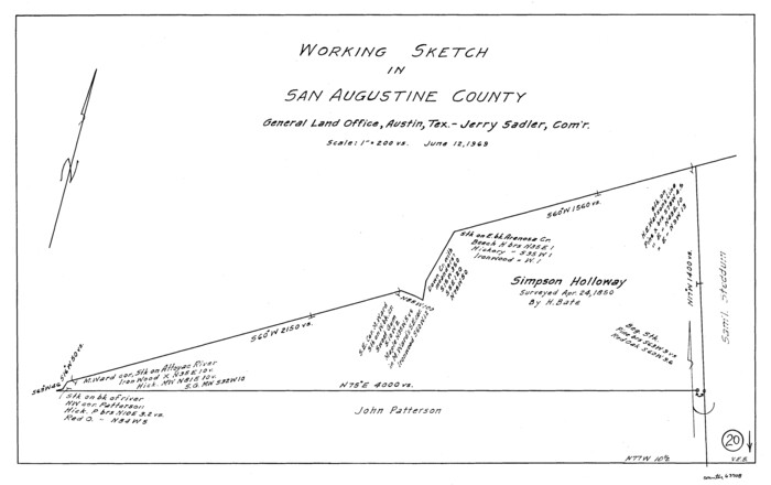
San Augustine County Working Sketch 20
1969

San Augustine County Working Sketch 19
1967
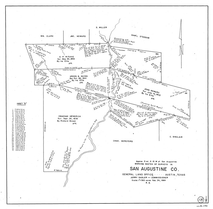
San Augustine County Working Sketch 18
1964
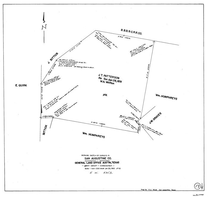
San Augustine County Working Sketch 17
1963
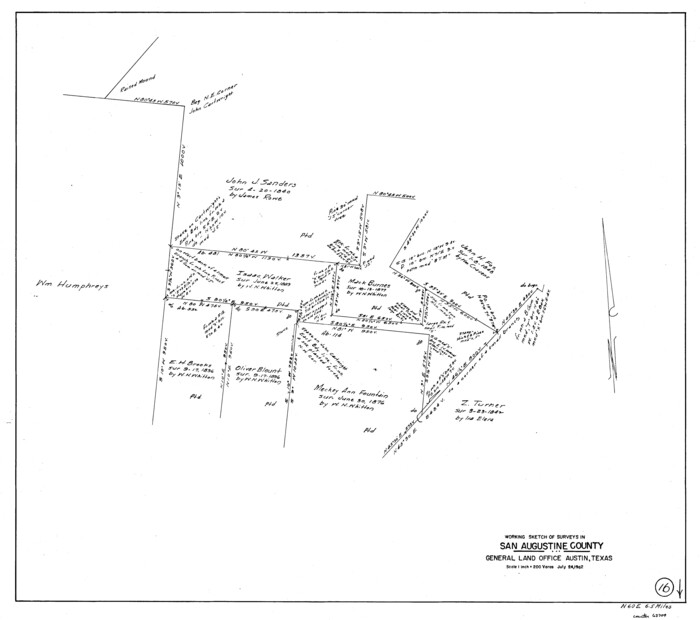
San Augustine County Working Sketch 16
1962
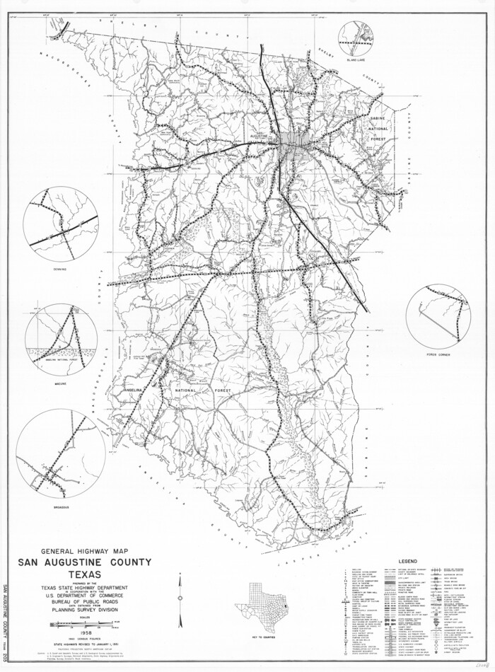
General Highway Map, San Augustine County, Texas
1961
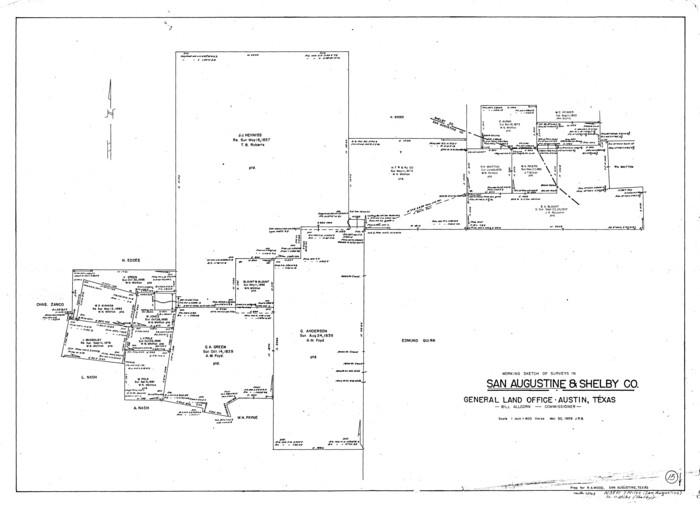
San Augustine County Working Sketch 15
1959
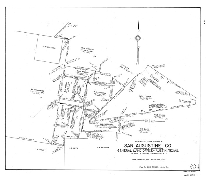
San Augustine County Working Sketch 14
1958

San Augustine County Working Sketch 13
1952
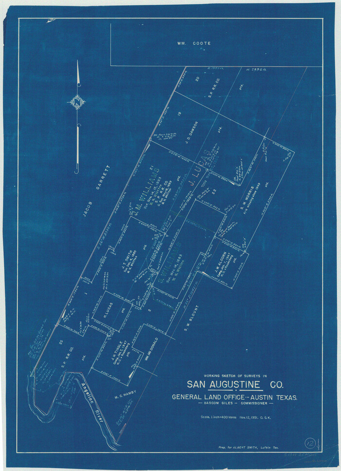
San Augustine County Working Sketch 12
1951

San Augustine County Sketch File 20
1951

San Augustine Co.
1949

San Augustine Co.
1949

San Augustine Co.
1949
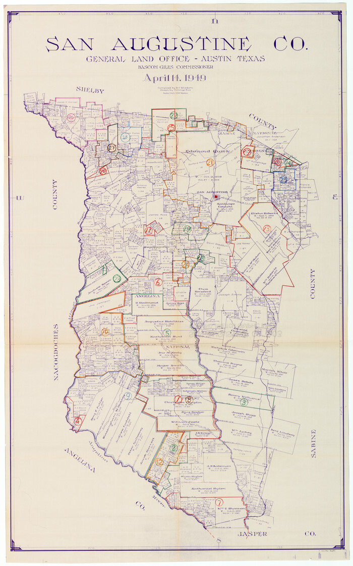
San Augustine County Working Sketch Graphic Index
1949
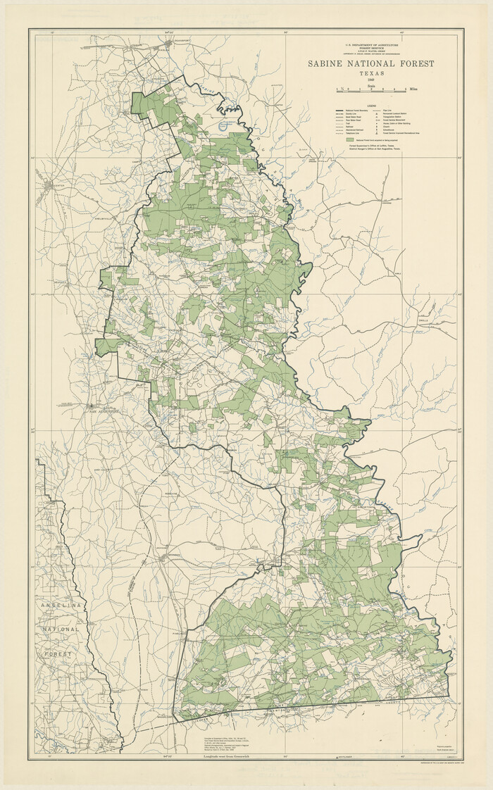
Sabine County Rolled Sketch 2
1949

The Republic County of San Augustine. Boundaries Defined, December 14, 1837
2020
-
Size
18.8 x 21.7 inches
-
Map/Doc
96271
-
Creation Date
2020

The Republic County of San Augustine. December 29, 1845
2020
-
Size
18.8 x 21.7 inches
-
Map/Doc
96272
-
Creation Date
2020

Shelby County Working Sketch 36
2011
-
Size
35.0 x 36.0 inches
-
Map/Doc
90093
-
Creation Date
2011

San Augustine County Working Sketch 28
2011
-
Size
23.4 x 36.7 inches
-
Map/Doc
90091
-
Creation Date
2011

San Augustine County Working Sketch 27
2009
-
Size
30.4 x 31.3 inches
-
Map/Doc
89020
-
Creation Date
2009

San Augustine County Working Sketch 26
2008
-
Size
63.9 x 33.5 inches
-
Map/Doc
88823
-
Creation Date
2008

San Augustine County Rolled Sketch 4
2004
-
Size
24.5 x 36.7 inches
-
Map/Doc
83422
-
Creation Date
2004

San Augustine County Sketch File 23
1992
-
Size
14.5 x 9.0 inches
-
Map/Doc
35689
-
Creation Date
1992

San Augustine County Working Sketch 25
1976
-
Size
28.0 x 36.6 inches
-
Map/Doc
63713
-
Creation Date
1976

San Augustine County Working Sketch 24
1975
-
Size
27.8 x 39.1 inches
-
Map/Doc
63712
-
Creation Date
1975

San Augustine County Working Sketch 23
1974
-
Size
23.6 x 36.4 inches
-
Map/Doc
63711
-
Creation Date
1974

San Augustine County Working Sketch 22
1974
-
Size
16.1 x 29.0 inches
-
Map/Doc
63710
-
Creation Date
1974

San Augustine County Working Sketch 21
1973
-
Size
56.1 x 47.4 inches
-
Map/Doc
63709
-
Creation Date
1973

San Augustine County Rolled Sketch 3
1969
-
Size
21.5 x 29.0 inches
-
Map/Doc
7555
-
Creation Date
1969

San Augustine County Working Sketch 20
1969
-
Size
15.1 x 24.0 inches
-
Map/Doc
63708
-
Creation Date
1969

San Augustine County Working Sketch 19
1967
-
Size
22.9 x 30.6 inches
-
Map/Doc
63707
-
Creation Date
1967

San Augustine County Working Sketch 18
1964
-
Size
22.7 x 23.1 inches
-
Map/Doc
63706
-
Creation Date
1964

San Augustine County Working Sketch 17
1963
-
Size
20.3 x 21.5 inches
-
Map/Doc
63705
-
Creation Date
1963

San Augustine County Working Sketch 16
1962
-
Size
22.2 x 25.0 inches
-
Map/Doc
63704
-
Creation Date
1962

General Highway Map, San Augustine County, Texas
1961
-
Size
24.6 x 18.1 inches
-
Map/Doc
79645
-
Creation Date
1961

San Augustine County Working Sketch 15
1959
-
Size
26.6 x 36.7 inches
-
Map/Doc
63703
-
Creation Date
1959

San Augustine County Working Sketch 14
1958
-
Size
22.7 x 26.1 inches
-
Map/Doc
63702
-
Creation Date
1958

San Augustine County Working Sketch 13
1952
-
Size
34.0 x 27.6 inches
-
Map/Doc
63701
-
Creation Date
1952

San Augustine County Working Sketch 12
1951
-
Size
29.0 x 21.0 inches
-
Map/Doc
63700
-
Creation Date
1951

San Augustine County Sketch File 20
1951
-
Size
8.9 x 14.4 inches
-
Map/Doc
35680
-
Creation Date
1951

San Augustine Co.
1949
-
Size
47.9 x 31.2 inches
-
Map/Doc
73281
-
Creation Date
1949

San Augustine Co.
1949
-
Size
45.7 x 28.6 inches
-
Map/Doc
77414
-
Creation Date
1949

San Augustine Co.
1949
-
Size
48.9 x 32.2 inches
-
Map/Doc
95632
-
Creation Date
1949

San Augustine County Working Sketch Graphic Index
1949
-
Size
47.4 x 29.6 inches
-
Map/Doc
76690
-
Creation Date
1949

Sabine County Rolled Sketch 2
1949
-
Size
33.3 x 20.8 inches
-
Map/Doc
7551
-
Creation Date
1949