'The Cradle of Texas' - San Augustine


Print $20.00
- Digital $50.00
'The Cradle of Texas' - San Augustine
Size: 19.3 x 25.3 inches
94441
Angelina County Rolled Sketch 2


Print $20.00
- Digital $50.00
Angelina County Rolled Sketch 2
1948
Size: 21.9 x 20.1 inches
77185
English Field Notes of the Spanish Archives - Books DB3 & WR


English Field Notes of the Spanish Archives - Books DB3 & WR
1835
96548
English Field Notes of the Spanish Archives - Books DBE, WBPS, GAN, WB3, and X


English Field Notes of the Spanish Archives - Books DBE, WBPS, GAN, WB3, and X
1835
96546
English Field Notes of the Spanish Archives - Books GMP, FH, SCH, and JAV


English Field Notes of the Spanish Archives - Books GMP, FH, SCH, and JAV
1835
96545
English Field Notes of the Spanish Archives - Books JMH, MCMCHB, TGI


English Field Notes of the Spanish Archives - Books JMH, MCMCHB, TGI
1835
96547
English Field Notes of the Spanish Archives - Books R & MC


English Field Notes of the Spanish Archives - Books R & MC
1835
96552
English Field Notes of the Spanish Archives - Books SAS, DB4, GWS, JWB, and JWB3


English Field Notes of the Spanish Archives - Books SAS, DB4, GWS, JWB, and JWB3
1835
96551
English Field Notes of the Spanish Archives - Books TJG, DB, A, A2, B, B2, WB, and WR


English Field Notes of the Spanish Archives - Books TJG, DB, A, A2, B, B2, WB, and WR
1835
96553
General Highway Map, San Augustine County, Texas


Print $20.00
General Highway Map, San Augustine County, Texas
1940
Size: 24.8 x 18.3 inches
79235
General Highway Map, San Augustine County, Texas
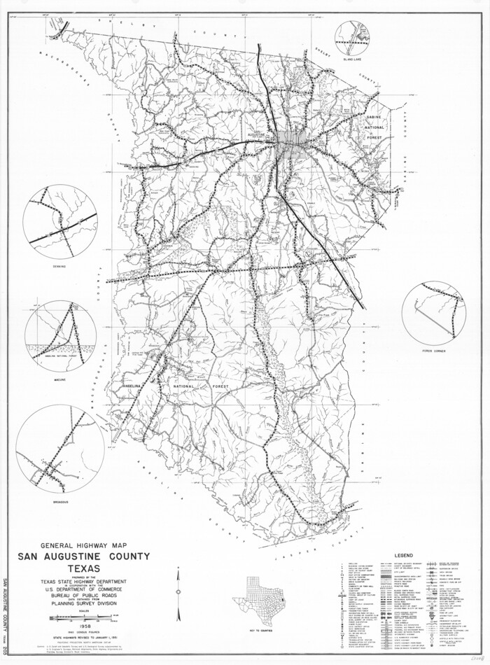

Print $20.00
General Highway Map, San Augustine County, Texas
1961
Size: 24.6 x 18.1 inches
79645
Guadalupe County Sketch File 24


Print $4.00
- Digital $50.00
Guadalupe County Sketch File 24
1838
Size: 12.9 x 8.4 inches
24715
Jasper County Sketch File 10

Print $4.00
- Digital $50.00
Jasper County Sketch File 10
1878
Size: 9.1 x 8.6 inches
27788
Map of Augustine Cty.
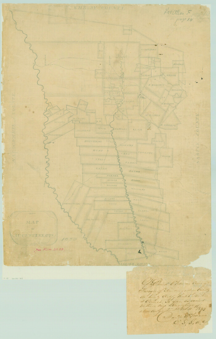

Print $20.00
- Digital $50.00
Map of Augustine Cty.
1839
Size: 22.9 x 14.6 inches
165
Map of Sabine and San Augustine Counties
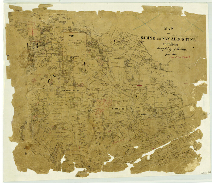

Print $20.00
- Digital $50.00
Map of Sabine and San Augustine Counties
1863
Size: 20.4 x 23.7 inches
4008
Map of San Augustine County


Print $40.00
- Digital $50.00
Map of San Augustine County
1901
Size: 48.8 x 29.3 inches
16807
Map of San Augustine County
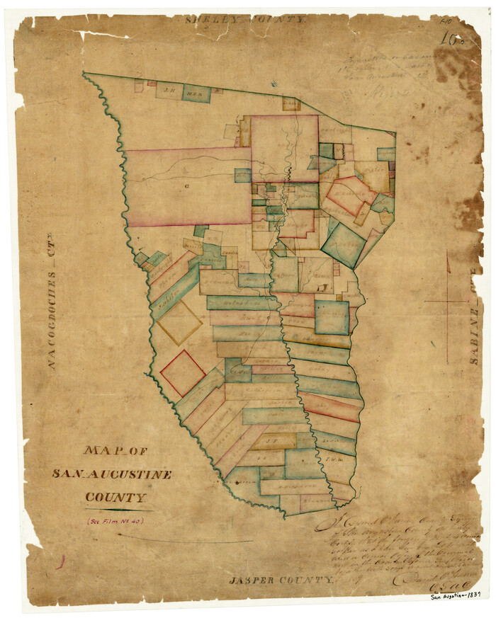

Print $20.00
- Digital $50.00
Map of San Augustine County
1839
Size: 22.3 x 18.2 inches
4011
Map of San Augustine County
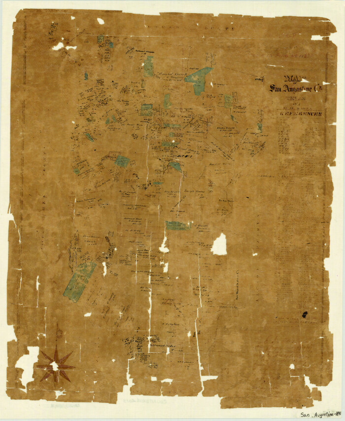

Print $20.00
- Digital $50.00
Map of San Augustine County
1841
Size: 20.5 x 16.9 inches
4013
Map of the River Sabine from its Mouth on the Gulf of Mexico in the Sea to Logan's Ferry in Latitude 31° 58' 25" North


Print $20.00
Map of the River Sabine from its Mouth on the Gulf of Mexico in the Sea to Logan's Ferry in Latitude 31° 58' 25" North
1840
Size: 35.5 x 9.1 inches
79294
Plat of Jasper, Sabine, San Augustine, Shelby, Harrison and South Part of Nacogdoches Counties


Print $2.00
- Digital $50.00
Plat of Jasper, Sabine, San Augustine, Shelby, Harrison and South Part of Nacogdoches Counties
1841
Size: 13.7 x 9.2 inches
3174
Reconnoissance of Sabine River and Valley
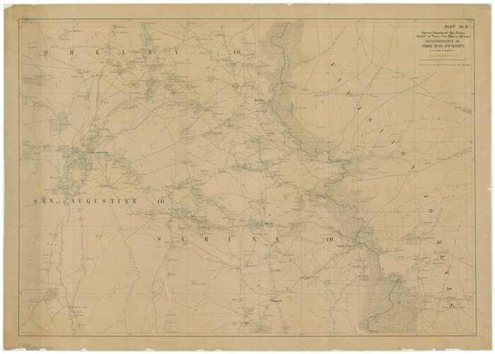

Print $20.00
Reconnoissance of Sabine River and Valley
1863
Size: 30.4 x 42.5 inches
97498
Sabine County Rolled Sketch 2
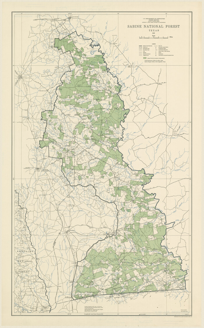

Print $20.00
- Digital $50.00
Sabine County Rolled Sketch 2
1949
Size: 33.3 x 20.8 inches
7551
Sabine County, Texas


Print $20.00
- Digital $50.00
Sabine County, Texas
1879
Size: 22.1 x 18.6 inches
751
San Augustine Co.


Print $20.00
- Digital $50.00
San Augustine Co.
1949
Size: 47.9 x 31.2 inches
73281
San Augustine Co.


Print $20.00
- Digital $50.00
San Augustine Co.
1949
Size: 45.7 x 28.6 inches
77414
San Augustine Co.


Print $40.00
- Digital $50.00
San Augustine Co.
1949
Size: 48.9 x 32.2 inches
95632
San Augustine County
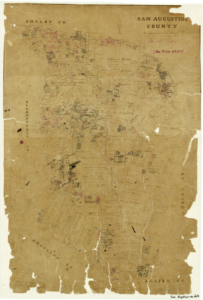

Print $20.00
- Digital $50.00
San Augustine County
1871
Size: 20.7 x 14.2 inches
4014
San Augustine County
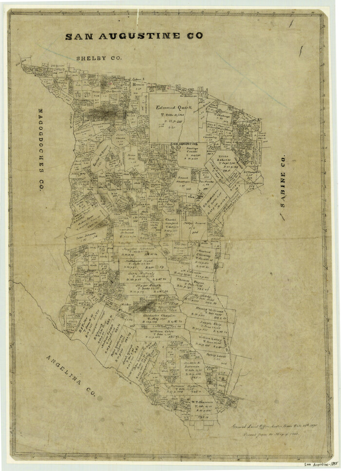

Print $20.00
- Digital $50.00
San Augustine County
1895
Size: 23.7 x 17.2 inches
4015
San Augustine County
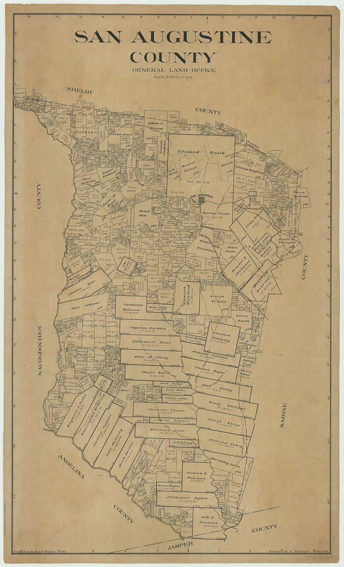

Print $20.00
- Digital $50.00
San Augustine County
1901
Size: 46.4 x 28.1 inches
63015
San Augustine County Boundary File 1
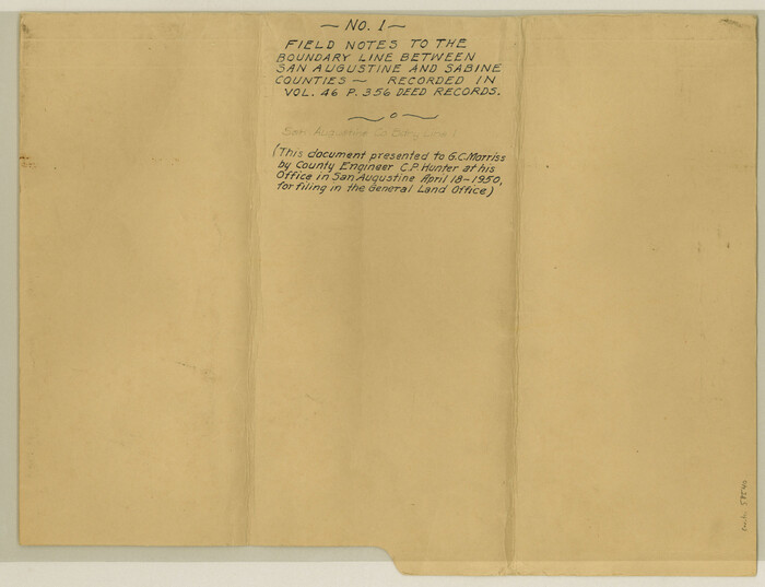

Print $17.00
- Digital $50.00
San Augustine County Boundary File 1
Size: 9.3 x 12.2 inches
58540
'The Cradle of Texas' - San Augustine


Print $20.00
- Digital $50.00
'The Cradle of Texas' - San Augustine
-
Size
19.3 x 25.3 inches
-
Map/Doc
94441
Angelina County Rolled Sketch 2


Print $20.00
- Digital $50.00
Angelina County Rolled Sketch 2
1948
-
Size
21.9 x 20.1 inches
-
Map/Doc
77185
-
Creation Date
1948
English Field Notes of the Spanish Archives - Books DB3 & WR


English Field Notes of the Spanish Archives - Books DB3 & WR
1835
-
Map/Doc
96548
-
Creation Date
1835
English Field Notes of the Spanish Archives - Books DBE, WBPS, GAN, WB3, and X


English Field Notes of the Spanish Archives - Books DBE, WBPS, GAN, WB3, and X
1835
-
Map/Doc
96546
-
Creation Date
1835
English Field Notes of the Spanish Archives - Books GMP, FH, SCH, and JAV


English Field Notes of the Spanish Archives - Books GMP, FH, SCH, and JAV
1835
-
Map/Doc
96545
-
Creation Date
1835
English Field Notes of the Spanish Archives - Books JMH, MCMCHB, TGI


English Field Notes of the Spanish Archives - Books JMH, MCMCHB, TGI
1835
-
Map/Doc
96547
-
Creation Date
1835
English Field Notes of the Spanish Archives - Books R & MC


English Field Notes of the Spanish Archives - Books R & MC
1835
-
Map/Doc
96552
-
Creation Date
1835
English Field Notes of the Spanish Archives - Books SAS, DB4, GWS, JWB, and JWB3


English Field Notes of the Spanish Archives - Books SAS, DB4, GWS, JWB, and JWB3
1835
-
Map/Doc
96551
-
Creation Date
1835
English Field Notes of the Spanish Archives - Books TJG, DB, A, A2, B, B2, WB, and WR


English Field Notes of the Spanish Archives - Books TJG, DB, A, A2, B, B2, WB, and WR
1835
-
Map/Doc
96553
-
Creation Date
1835
General Highway Map, San Augustine County, Texas


Print $20.00
General Highway Map, San Augustine County, Texas
1940
-
Size
24.8 x 18.3 inches
-
Map/Doc
79235
-
Creation Date
1940
General Highway Map, San Augustine County, Texas


Print $20.00
General Highway Map, San Augustine County, Texas
1961
-
Size
24.6 x 18.1 inches
-
Map/Doc
79645
-
Creation Date
1961
Guadalupe County Sketch File 24


Print $4.00
- Digital $50.00
Guadalupe County Sketch File 24
1838
-
Size
12.9 x 8.4 inches
-
Map/Doc
24715
-
Creation Date
1838
Jasper County Sketch File 10


Print $4.00
- Digital $50.00
Jasper County Sketch File 10
1878
-
Size
9.1 x 8.6 inches
-
Map/Doc
27788
-
Creation Date
1878
Map of Augustine Cty.


Print $20.00
- Digital $50.00
Map of Augustine Cty.
1839
-
Size
22.9 x 14.6 inches
-
Map/Doc
165
-
Creation Date
1839
Map of Sabine and San Augustine Counties


Print $20.00
- Digital $50.00
Map of Sabine and San Augustine Counties
1863
-
Size
20.4 x 23.7 inches
-
Map/Doc
4008
-
Creation Date
1863
Map of San Augustine County


Print $40.00
- Digital $50.00
Map of San Augustine County
1901
-
Size
48.8 x 29.3 inches
-
Map/Doc
16807
-
Creation Date
1901
Map of San Augustine County


Print $20.00
- Digital $50.00
Map of San Augustine County
1839
-
Size
22.3 x 18.2 inches
-
Map/Doc
4011
-
Creation Date
1839
Map of San Augustine County


Print $20.00
- Digital $50.00
Map of San Augustine County
1841
-
Size
20.5 x 16.9 inches
-
Map/Doc
4013
-
Creation Date
1841
Map of the River Sabine from its Mouth on the Gulf of Mexico in the Sea to Logan's Ferry in Latitude 31° 58' 25" North


Print $20.00
Map of the River Sabine from its Mouth on the Gulf of Mexico in the Sea to Logan's Ferry in Latitude 31° 58' 25" North
1840
-
Size
35.5 x 9.1 inches
-
Map/Doc
79294
-
Creation Date
1840
Plat of Jasper, Sabine, San Augustine, Shelby, Harrison and South Part of Nacogdoches Counties


Print $2.00
- Digital $50.00
Plat of Jasper, Sabine, San Augustine, Shelby, Harrison and South Part of Nacogdoches Counties
1841
-
Size
13.7 x 9.2 inches
-
Map/Doc
3174
-
Creation Date
1841
Reconnoissance of Sabine River and Valley


Print $20.00
Reconnoissance of Sabine River and Valley
1863
-
Size
30.4 x 42.5 inches
-
Map/Doc
97498
-
Creation Date
1863
Sabine County Rolled Sketch 2


Print $20.00
- Digital $50.00
Sabine County Rolled Sketch 2
1949
-
Size
33.3 x 20.8 inches
-
Map/Doc
7551
-
Creation Date
1949
Sabine County, Texas


Print $20.00
- Digital $50.00
Sabine County, Texas
1879
-
Size
22.1 x 18.6 inches
-
Map/Doc
751
-
Creation Date
1879
San Augustine Co.


Print $20.00
- Digital $50.00
San Augustine Co.
1949
-
Size
47.9 x 31.2 inches
-
Map/Doc
73281
-
Creation Date
1949
San Augustine Co.


Print $20.00
- Digital $50.00
San Augustine Co.
1949
-
Size
45.7 x 28.6 inches
-
Map/Doc
77414
-
Creation Date
1949
San Augustine Co.


Print $40.00
- Digital $50.00
San Augustine Co.
1949
-
Size
48.9 x 32.2 inches
-
Map/Doc
95632
-
Creation Date
1949
San Augustine County


Print $20.00
- Digital $50.00
San Augustine County
1871
-
Size
20.7 x 14.2 inches
-
Map/Doc
4014
-
Creation Date
1871
San Augustine County


Print $20.00
- Digital $50.00
San Augustine County
1895
-
Size
23.7 x 17.2 inches
-
Map/Doc
4015
-
Creation Date
1895
San Augustine County


Print $20.00
- Digital $50.00
San Augustine County
1901
-
Size
46.4 x 28.1 inches
-
Map/Doc
63015
-
Creation Date
1901
San Augustine County Boundary File 1


Print $17.00
- Digital $50.00
San Augustine County Boundary File 1
-
Size
9.3 x 12.2 inches
-
Map/Doc
58540