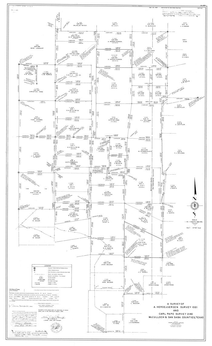
McCulloch County Rolled Sketch 8
1982
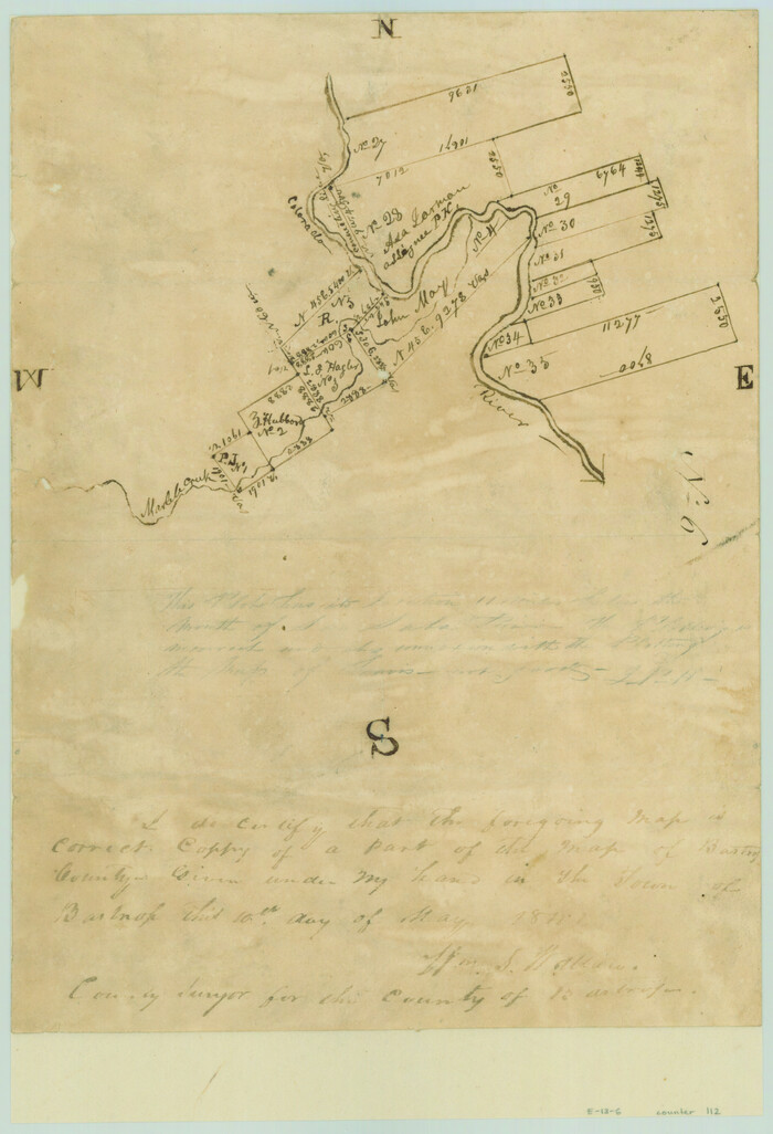
[Surveys along the Colorado River]
1841
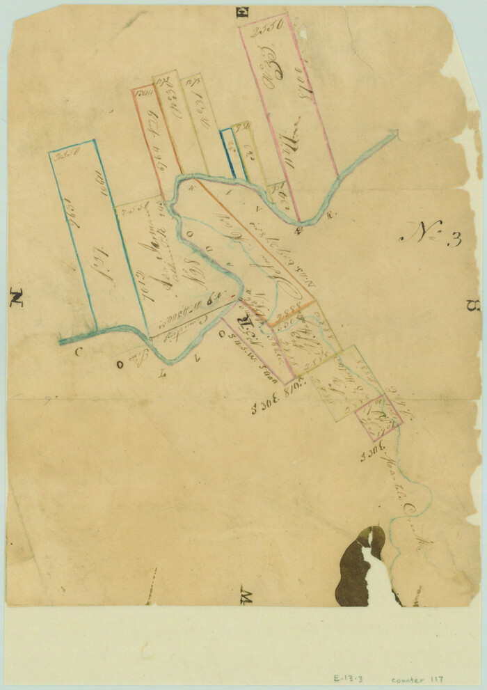
[Surveys in the Travis District along the Colorado River]
1840
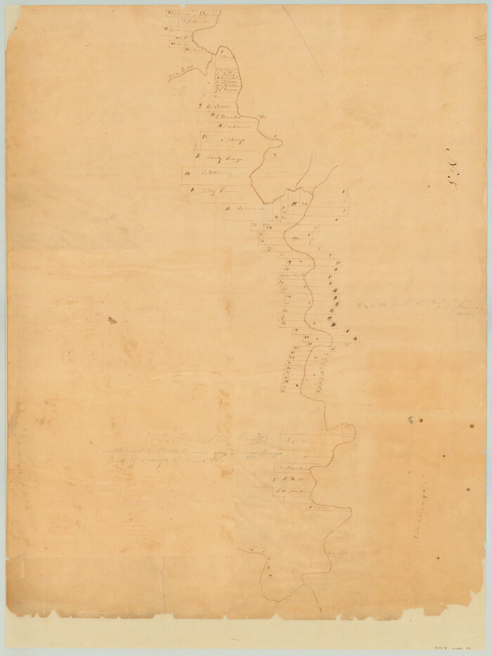
[Surveys along the Colorado River]
1840
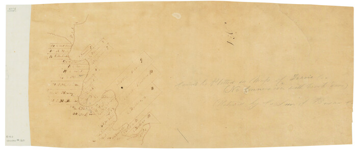
[Surveys in the Travis District along the Colorado River]
1841

San Saba County Sketch File 10
1883
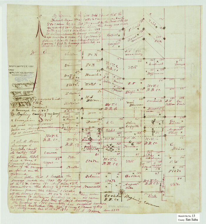
San Saba County Sketch File 13
1890
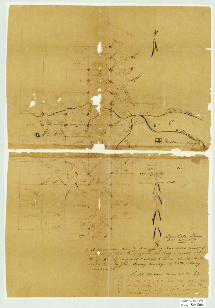
San Saba County Sketch File 13A
1891
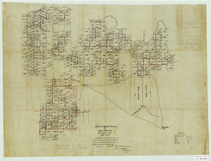
San Saba County Sketch File 14
1891
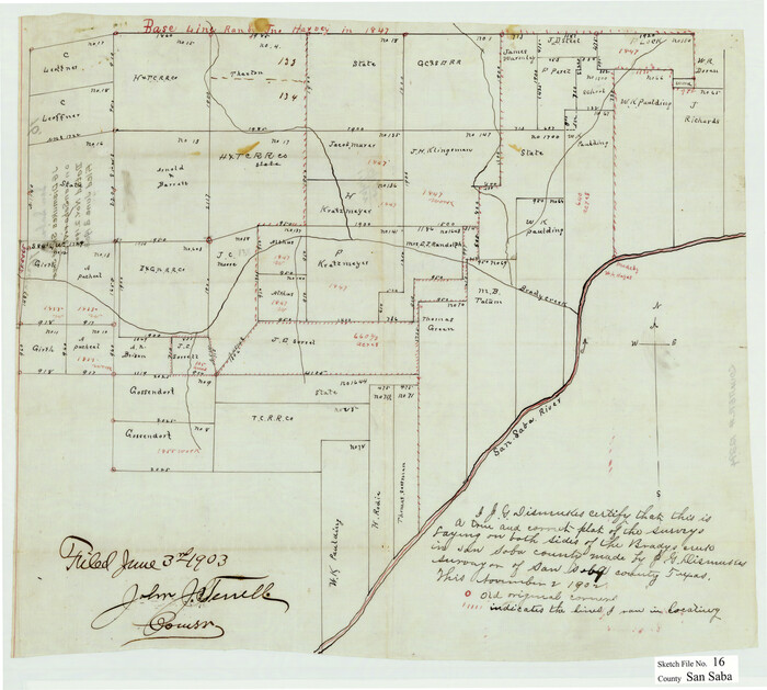
San Saba County Sketch File 16
1902
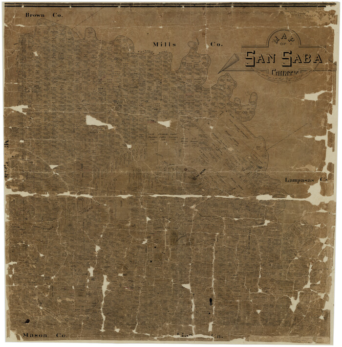
Map of San Saba County
1887

Map of Fisher and Miller's Colony made from the records in the Office of the District Surveyor of Bexar comprising also all the recent surveys
1855
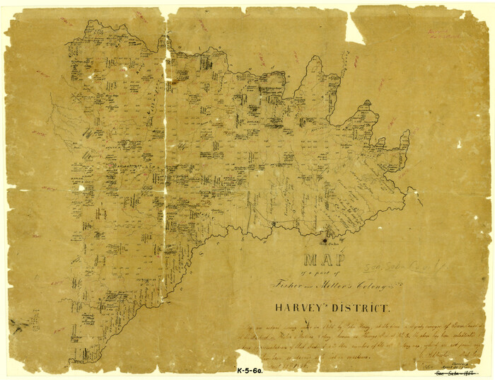
Map of a part of Fisher and Miller's Colony - Harvey's District
1856

Llano County Sketch File 1

Llano County Sketch File 4
1869

Llano County Sketch File 14

Mason County Sketch File 13
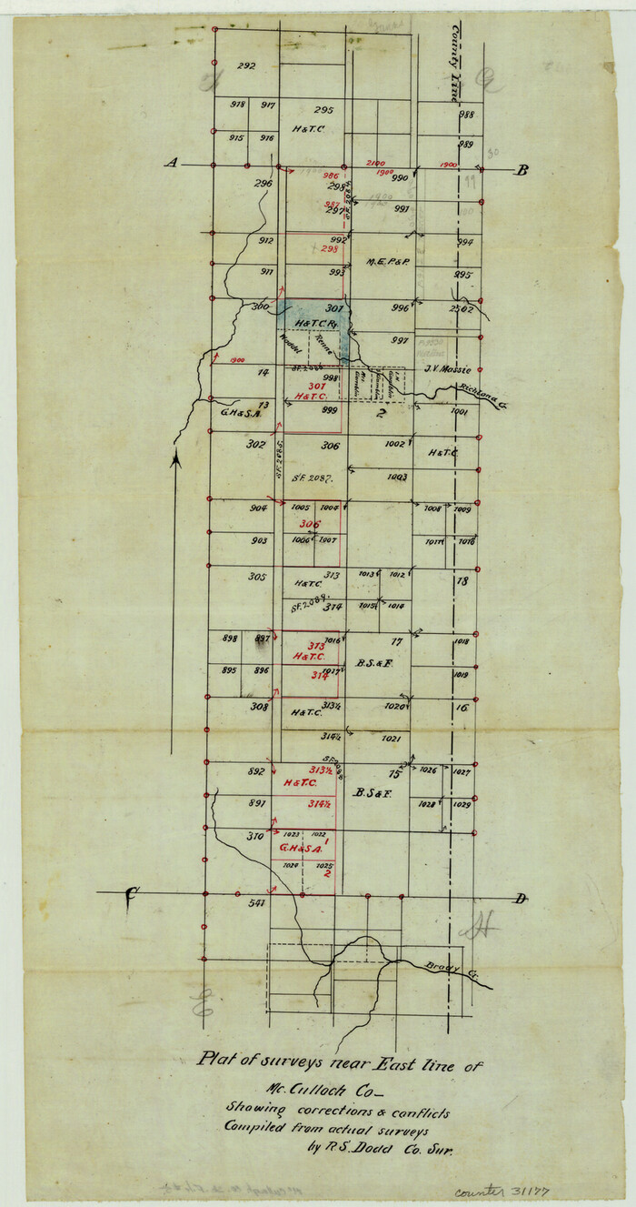
McCulloch County Sketch File 5
1899

McCulloch County Sketch File 14
1990

San Saba County Sketch File 1
1854
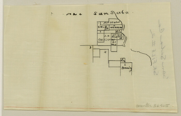
San Saba County Sketch File 2
1854
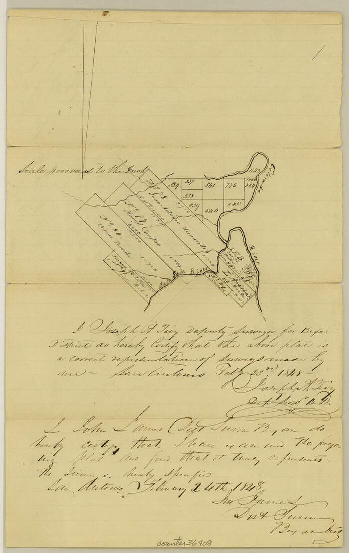
San Saba County Sketch File 3
1848

San Saba County Sketch File 4a
1854

San Saba County Sketch File 5
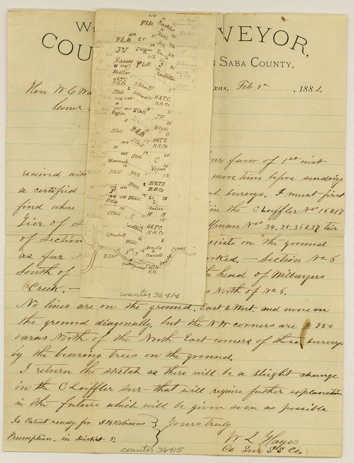
San Saba County Sketch File 6
1881
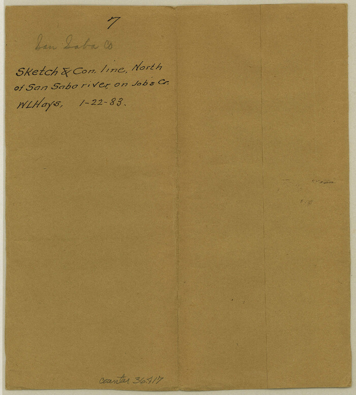
San Saba County Sketch File 7
1883

San Saba County Sketch File 7a
1883
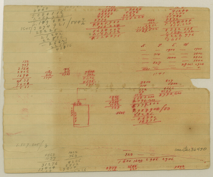
San Saba County Sketch File 8
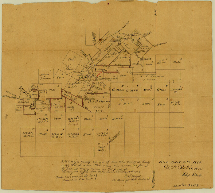
San Saba County Sketch File 9
1883

McCulloch County Rolled Sketch 8
1982
-
Size
51.3 x 31.4 inches
-
Map/Doc
10292
-
Creation Date
1982
![112, [Surveys along the Colorado River], General Map Collection](https://historictexasmaps.com/wmedia_w700/maps/112.tif.jpg)
[Surveys along the Colorado River]
1841
-
Size
12.2 x 8.3 inches
-
Map/Doc
112
-
Creation Date
1841
![117, [Surveys in the Travis District along the Colorado River], General Map Collection](https://historictexasmaps.com/wmedia_w700/maps/117.tif.jpg)
[Surveys in the Travis District along the Colorado River]
1840
-
Size
8.9 x 6.3 inches
-
Map/Doc
117
-
Creation Date
1840
![119, [Surveys along the Colorado River], General Map Collection](https://historictexasmaps.com/wmedia_w700/maps/119.tif.jpg)
[Surveys along the Colorado River]
1840
-
Size
23.8 x 17.9 inches
-
Map/Doc
119
-
Creation Date
1840
![120, [Surveys in the Travis District along the Colorado River], General Map Collection](https://historictexasmaps.com/wmedia_w700/maps/120-2.tif.jpg)
[Surveys in the Travis District along the Colorado River]
1841
-
Size
7.0 x 16.5 inches
-
Map/Doc
120
-
Creation Date
1841

San Saba County Sketch File 10
1883
-
Size
20.4 x 16.5 inches
-
Map/Doc
12290
-
Creation Date
1883

San Saba County Sketch File 13
1890
-
Size
20.9 x 19.2 inches
-
Map/Doc
12291
-
Creation Date
1890

San Saba County Sketch File 13A
1891
-
Size
25.2 x 17.6 inches
-
Map/Doc
12292
-
Creation Date
1891

San Saba County Sketch File 14
1891
-
Size
25.5 x 33.3 inches
-
Map/Doc
12293
-
Creation Date
1891

San Saba County Sketch File 16
1902
-
Size
16.9 x 18.8 inches
-
Map/Doc
12294
-
Creation Date
1902

Map of San Saba County
1887
-
Size
41.1 x 40.9 inches
-
Map/Doc
16809
-
Creation Date
1887
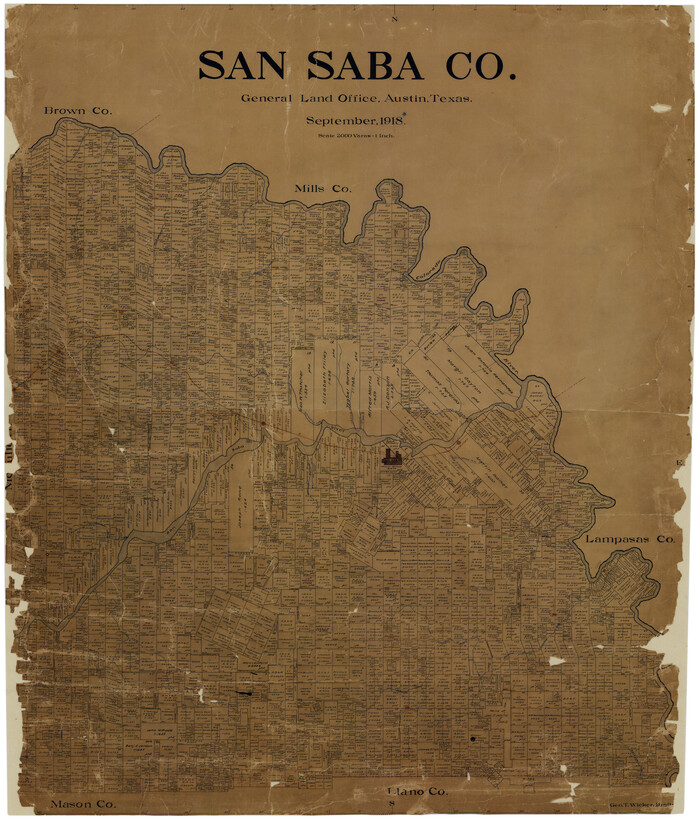
San Saba Co.
1918
-
Size
46.0 x 39.3 inches
-
Map/Doc
16810
-
Creation Date
1918

Map of Fisher and Miller's Colony made from the records in the Office of the District Surveyor of Bexar comprising also all the recent surveys
1855
-
Size
23.7 x 35.2 inches
-
Map/Doc
1971
-
Creation Date
1855

Map of a part of Fisher and Miller's Colony - Harvey's District
1856
-
Size
15.2 x 19.8 inches
-
Map/Doc
1972
-
Creation Date
1856

Llano County Sketch File 1
-
Size
8.9 x 7.7 inches
-
Map/Doc
30345

Llano County Sketch File 4
1869
-
Size
12.4 x 8.0 inches
-
Map/Doc
30353
-
Creation Date
1869

Llano County Sketch File 14
-
Size
8.0 x 12.7 inches
-
Map/Doc
30389

Mason County Sketch File 13
-
Size
7.3 x 6.2 inches
-
Map/Doc
30701

McCulloch County Sketch File 5
1899
-
Size
17.5 x 9.2 inches
-
Map/Doc
31177
-
Creation Date
1899

McCulloch County Sketch File 14
1990
-
Size
11.2 x 8.7 inches
-
Map/Doc
31203
-
Creation Date
1990

San Saba County Sketch File 1
1854
-
Size
9.1 x 7.8 inches
-
Map/Doc
36400
-
Creation Date
1854

San Saba County Sketch File 2
1854
-
Size
4.8 x 7.4 inches
-
Map/Doc
36405
-
Creation Date
1854

San Saba County Sketch File 3
1848
-
Size
12.5 x 7.9 inches
-
Map/Doc
36408
-
Creation Date
1848

San Saba County Sketch File 4a
1854
-
Size
9.6 x 8.5 inches
-
Map/Doc
36410
-
Creation Date
1854

San Saba County Sketch File 5
-
Size
12.8 x 8.0 inches
-
Map/Doc
36412

San Saba County Sketch File 6
1881
-
Size
10.9 x 8.4 inches
-
Map/Doc
36414
-
Creation Date
1881

San Saba County Sketch File 7
1883
-
Size
8.6 x 7.8 inches
-
Map/Doc
36417
-
Creation Date
1883

San Saba County Sketch File 7a
1883
-
Size
16.4 x 10.5 inches
-
Map/Doc
36428
-
Creation Date
1883

San Saba County Sketch File 8
-
Size
6.6 x 7.9 inches
-
Map/Doc
36430

San Saba County Sketch File 9
1883
-
Size
12.3 x 13.7 inches
-
Map/Doc
36433
-
Creation Date
1883