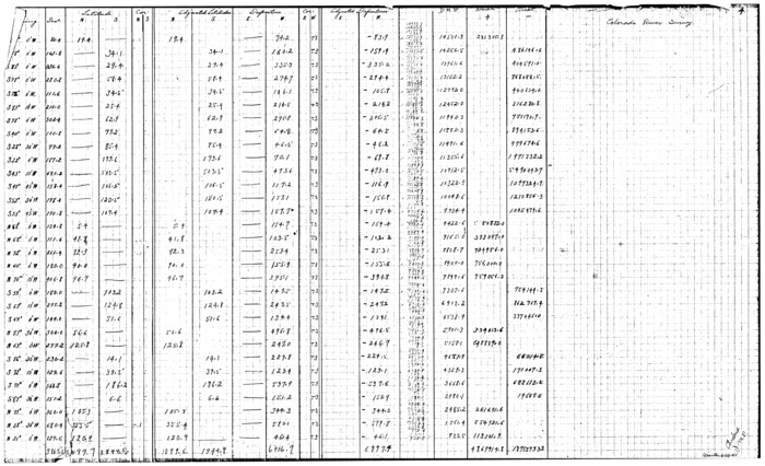
[Surveys in the Travis District along the Colorado River]
Print $2.00
- Digital $50.00
[Surveys in the Travis District along the Colorado River]
1840
Size: 8.9 x 6.3 inches
117
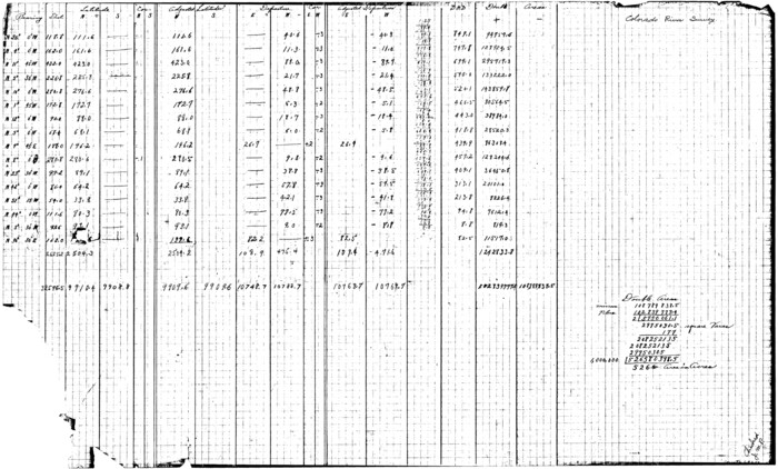
[Surveys in the Travis District along the Colorado River]
Print $3.00
- Digital $50.00
[Surveys in the Travis District along the Colorado River]
1841
Size: 7.0 x 16.5 inches
120
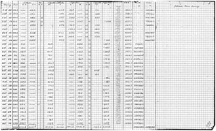
[Surveys along the Colorado River]
Print $2.00
- Digital $50.00
[Surveys along the Colorado River]
1841
Size: 12.2 x 8.3 inches
112
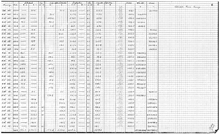
[Surveys along the Colorado River]
Print $20.00
- Digital $50.00
[Surveys along the Colorado River]
1840
Size: 23.8 x 17.9 inches
119
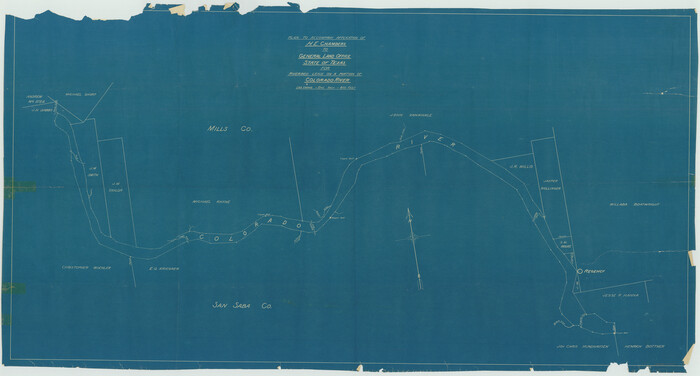
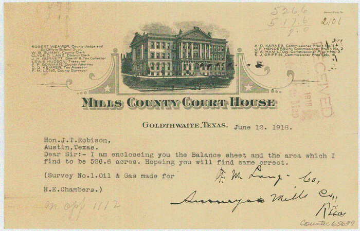
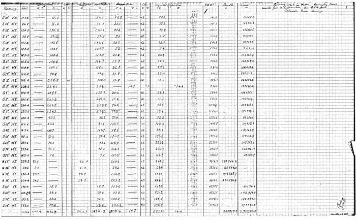
[Sketch for Mineral Application 1112 - Colorado River, H. E. Chambers]
Print $40.00
- Digital $50.00
[Sketch for Mineral Application 1112 - Colorado River, H. E. Chambers]
1918
Size: 25.8 x 48.1 inches
65635
[Sketch for Mineral Application 1112 - Colorado River, H. E. Chambers]
Print $40.00
- Digital $50.00
[Sketch for Mineral Application 1112 - Colorado River, H. E. Chambers]
1918
Size: 48.2 x 26.5 inches
65636
[Sketch for Mineral Application 1112 - Colorado River, H. E. Chambers]
Print $20.00
- Digital $50.00
[Sketch for Mineral Application 1112 - Colorado River, H. E. Chambers]
1918
Size: 5.5 x 8.5 inches
65637
[Sketch for Mineral Application 1112 - Colorado River, H. E. Chambers]
Print $20.00
- Digital $50.00
[Sketch for Mineral Application 1112 - Colorado River, H. E. Chambers]
1918
Size: 17.5 x 28.2 inches
65638
[Sketch for Mineral Application 1112 - Colorado River, H. E. Chambers]
Print $20.00
- Digital $50.00
[Sketch for Mineral Application 1112 - Colorado River, H. E. Chambers]
1918
Size: 17.3 x 28.3 inches
65639
[Sketch for Mineral Application 1112 - Colorado River, H. E. Chambers]
Print $20.00
- Digital $50.00
[Sketch for Mineral Application 1112 - Colorado River, H. E. Chambers]
1918
Size: 17.2 x 28.3 inches
65640
[Sketch for Mineral Application 1112 - Colorado River, H. E. Chambers]
Print $20.00
- Digital $50.00
[Sketch for Mineral Application 1112 - Colorado River, H. E. Chambers]
1918
Size: 17.4 x 28.5 inches
65641
[Sketch for Mineral Application 1112 - Colorado River, H. E. Chambers]
Print $20.00
- Digital $50.00
[Sketch for Mineral Application 1112 - Colorado River, H. E. Chambers]
1918
Size: 17.1 x 28.4 inches
65642
Water-Shed of the Colorado River

Print $40.00
- Digital $50.00
Water-Shed of the Colorado River
1925
Size: 37.1 x 79.8 inches
65261
San Saba County Working Sketch Graphic Index

Print $20.00
- Digital $50.00
San Saba County Working Sketch Graphic Index
1918
Size: 46.5 x 41.1 inches
76693
San Saba County Working Sketch 9

Print $20.00
- Digital $50.00
San Saba County Working Sketch 9
1983
Size: 33.8 x 42.8 inches
63797
San Saba County Working Sketch 8

Print $20.00
- Digital $50.00
San Saba County Working Sketch 8
1979
Size: 13.3 x 17.2 inches
63796
San Saba County Working Sketch 7

Print $20.00
- Digital $50.00
San Saba County Working Sketch 7
1952
Size: 35.5 x 29.1 inches
63795
San Saba County Working Sketch 6

Print $20.00
- Digital $50.00
San Saba County Working Sketch 6
1959
Size: 17.5 x 23.4 inches
63794
San Saba County Working Sketch 5

Print $20.00
- Digital $50.00
San Saba County Working Sketch 5
1945
Size: 30.5 x 22.9 inches
63793
San Saba County Working Sketch 4

Print $20.00
- Digital $50.00
San Saba County Working Sketch 4
1941
Size: 43.4 x 31.8 inches
63792
San Saba County Working Sketch 3

Print $20.00
- Digital $50.00
San Saba County Working Sketch 3
1941
Size: 27.3 x 20.7 inches
63791
San Saba County Working Sketch 2

Print $20.00
- Digital $50.00
San Saba County Working Sketch 2
1928
Size: 23.2 x 27.2 inches
63790
San Saba County Working Sketch 14

Print $20.00
- Digital $50.00
San Saba County Working Sketch 14
1998
Size: 29.0 x 42.8 inches
63802
San Saba County Working Sketch 13

Print $20.00
- Digital $50.00
San Saba County Working Sketch 13
1995
Size: 42.8 x 32.8 inches
63801
San Saba County Working Sketch 12

Print $20.00
- Digital $50.00
San Saba County Working Sketch 12
1993
Size: 32.2 x 39.9 inches
63800
San Saba County Working Sketch 11

Print $20.00
- Digital $50.00
San Saba County Working Sketch 11
1989
Size: 30.3 x 38.2 inches
63799
San Saba County Working Sketch 10

Print $40.00
- Digital $50.00
San Saba County Working Sketch 10
1985
Size: 33.4 x 52.9 inches
63798
San Saba County Working Sketch 1

Print $20.00
- Digital $50.00
San Saba County Working Sketch 1
1919
Size: 15.3 x 15.3 inches
63789
San Saba County Sketch File 9

Print $22.00
- Digital $50.00
San Saba County Sketch File 9
1883
Size: 12.3 x 13.7 inches
36433
San Saba County Sketch File 8

Print $6.00
- Digital $50.00
San Saba County Sketch File 8
Size: 6.6 x 7.9 inches
36430
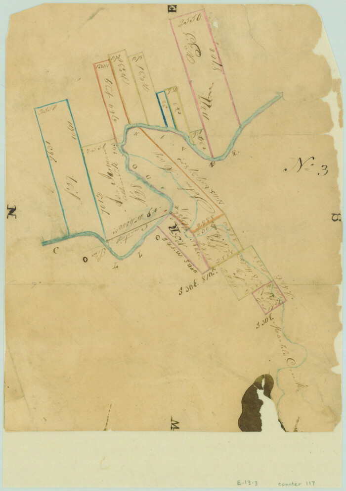
[Surveys in the Travis District along the Colorado River]
Print $2.00
- Digital $50.00
[Surveys in the Travis District along the Colorado River]
1840
-
Size
8.9 x 6.3 inches
-
Map/Doc
117
-
Creation Date
1840
[Surveys in the Travis District along the Colorado River]
Print $3.00
- Digital $50.00
[Surveys in the Travis District along the Colorado River]
1841
-
Size
7.0 x 16.5 inches
-
Map/Doc
120
-
Creation Date
1841
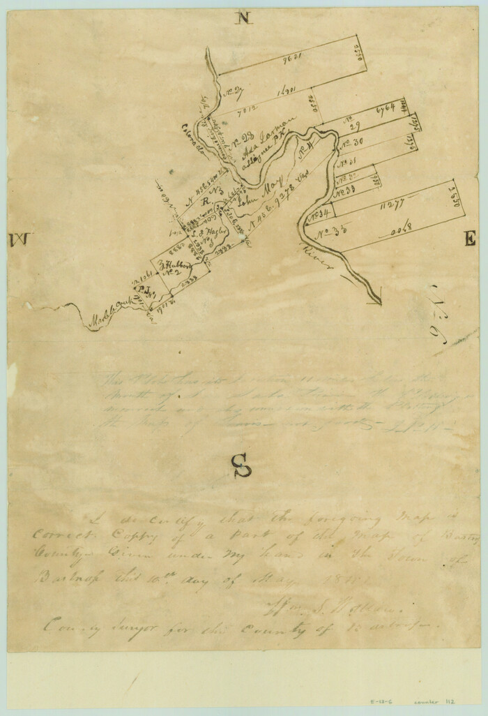
[Surveys along the Colorado River]
Print $2.00
- Digital $50.00
[Surveys along the Colorado River]
1841
-
Size
12.2 x 8.3 inches
-
Map/Doc
112
-
Creation Date
1841
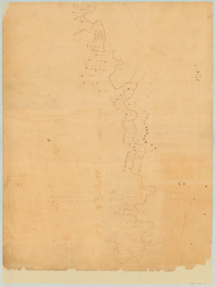
[Surveys along the Colorado River]
Print $20.00
- Digital $50.00
[Surveys along the Colorado River]
1840
-
Size
23.8 x 17.9 inches
-
Map/Doc
119
-
Creation Date
1840
[Sketch for Mineral Application 1112 - Colorado River, H. E. Chambers]
Print $40.00
- Digital $50.00
[Sketch for Mineral Application 1112 - Colorado River, H. E. Chambers]
1918
-
Size
25.8 x 48.1 inches
-
Map/Doc
65635
-
Creation Date
1918
[Sketch for Mineral Application 1112 - Colorado River, H. E. Chambers]
Print $40.00
- Digital $50.00
[Sketch for Mineral Application 1112 - Colorado River, H. E. Chambers]
1918
-
Size
48.2 x 26.5 inches
-
Map/Doc
65636
-
Creation Date
1918
[Sketch for Mineral Application 1112 - Colorado River, H. E. Chambers]
Print $20.00
- Digital $50.00
[Sketch for Mineral Application 1112 - Colorado River, H. E. Chambers]
1918
-
Size
5.5 x 8.5 inches
-
Map/Doc
65637
-
Creation Date
1918
[Sketch for Mineral Application 1112 - Colorado River, H. E. Chambers]
Print $20.00
- Digital $50.00
[Sketch for Mineral Application 1112 - Colorado River, H. E. Chambers]
1918
-
Size
17.5 x 28.2 inches
-
Map/Doc
65638
-
Creation Date
1918
[Sketch for Mineral Application 1112 - Colorado River, H. E. Chambers]
Print $20.00
- Digital $50.00
[Sketch for Mineral Application 1112 - Colorado River, H. E. Chambers]
1918
-
Size
17.3 x 28.3 inches
-
Map/Doc
65639
-
Creation Date
1918
[Sketch for Mineral Application 1112 - Colorado River, H. E. Chambers]
Print $20.00
- Digital $50.00
[Sketch for Mineral Application 1112 - Colorado River, H. E. Chambers]
1918
-
Size
17.2 x 28.3 inches
-
Map/Doc
65640
-
Creation Date
1918
[Sketch for Mineral Application 1112 - Colorado River, H. E. Chambers]
Print $20.00
- Digital $50.00
[Sketch for Mineral Application 1112 - Colorado River, H. E. Chambers]
1918
-
Size
17.4 x 28.5 inches
-
Map/Doc
65641
-
Creation Date
1918
[Sketch for Mineral Application 1112 - Colorado River, H. E. Chambers]
Print $20.00
- Digital $50.00
[Sketch for Mineral Application 1112 - Colorado River, H. E. Chambers]
1918
-
Size
17.1 x 28.4 inches
-
Map/Doc
65642
-
Creation Date
1918
Water-Shed of the Colorado River
Print $40.00
- Digital $50.00
Water-Shed of the Colorado River
1925
-
Size
37.1 x 79.8 inches
-
Map/Doc
65261
-
Creation Date
1925
San Saba County Working Sketch Graphic Index
Print $20.00
- Digital $50.00
San Saba County Working Sketch Graphic Index
1918
-
Size
46.5 x 41.1 inches
-
Map/Doc
76693
-
Creation Date
1918
San Saba County Working Sketch 9
Print $20.00
- Digital $50.00
San Saba County Working Sketch 9
1983
-
Size
33.8 x 42.8 inches
-
Map/Doc
63797
-
Creation Date
1983
San Saba County Working Sketch 8
Print $20.00
- Digital $50.00
San Saba County Working Sketch 8
1979
-
Size
13.3 x 17.2 inches
-
Map/Doc
63796
-
Creation Date
1979
San Saba County Working Sketch 7
Print $20.00
- Digital $50.00
San Saba County Working Sketch 7
1952
-
Size
35.5 x 29.1 inches
-
Map/Doc
63795
-
Creation Date
1952
San Saba County Working Sketch 6
Print $20.00
- Digital $50.00
San Saba County Working Sketch 6
1959
-
Size
17.5 x 23.4 inches
-
Map/Doc
63794
-
Creation Date
1959
San Saba County Working Sketch 5
Print $20.00
- Digital $50.00
San Saba County Working Sketch 5
1945
-
Size
30.5 x 22.9 inches
-
Map/Doc
63793
-
Creation Date
1945
San Saba County Working Sketch 4
Print $20.00
- Digital $50.00
San Saba County Working Sketch 4
1941
-
Size
43.4 x 31.8 inches
-
Map/Doc
63792
-
Creation Date
1941
San Saba County Working Sketch 3
Print $20.00
- Digital $50.00
San Saba County Working Sketch 3
1941
-
Size
27.3 x 20.7 inches
-
Map/Doc
63791
-
Creation Date
1941
San Saba County Working Sketch 2
Print $20.00
- Digital $50.00
San Saba County Working Sketch 2
1928
-
Size
23.2 x 27.2 inches
-
Map/Doc
63790
-
Creation Date
1928
San Saba County Working Sketch 14
Print $20.00
- Digital $50.00
San Saba County Working Sketch 14
1998
-
Size
29.0 x 42.8 inches
-
Map/Doc
63802
-
Creation Date
1998
San Saba County Working Sketch 13
Print $20.00
- Digital $50.00
San Saba County Working Sketch 13
1995
-
Size
42.8 x 32.8 inches
-
Map/Doc
63801
-
Creation Date
1995
San Saba County Working Sketch 12
Print $20.00
- Digital $50.00
San Saba County Working Sketch 12
1993
-
Size
32.2 x 39.9 inches
-
Map/Doc
63800
-
Creation Date
1993
San Saba County Working Sketch 11
Print $20.00
- Digital $50.00
San Saba County Working Sketch 11
1989
-
Size
30.3 x 38.2 inches
-
Map/Doc
63799
-
Creation Date
1989
San Saba County Working Sketch 10
Print $40.00
- Digital $50.00
San Saba County Working Sketch 10
1985
-
Size
33.4 x 52.9 inches
-
Map/Doc
63798
-
Creation Date
1985
San Saba County Working Sketch 1
Print $20.00
- Digital $50.00
San Saba County Working Sketch 1
1919
-
Size
15.3 x 15.3 inches
-
Map/Doc
63789
-
Creation Date
1919
San Saba County Sketch File 9
Print $22.00
- Digital $50.00
San Saba County Sketch File 9
1883
-
Size
12.3 x 13.7 inches
-
Map/Doc
36433
-
Creation Date
1883
San Saba County Sketch File 8
Print $6.00
- Digital $50.00
San Saba County Sketch File 8
-
Size
6.6 x 7.9 inches
-
Map/Doc
36430