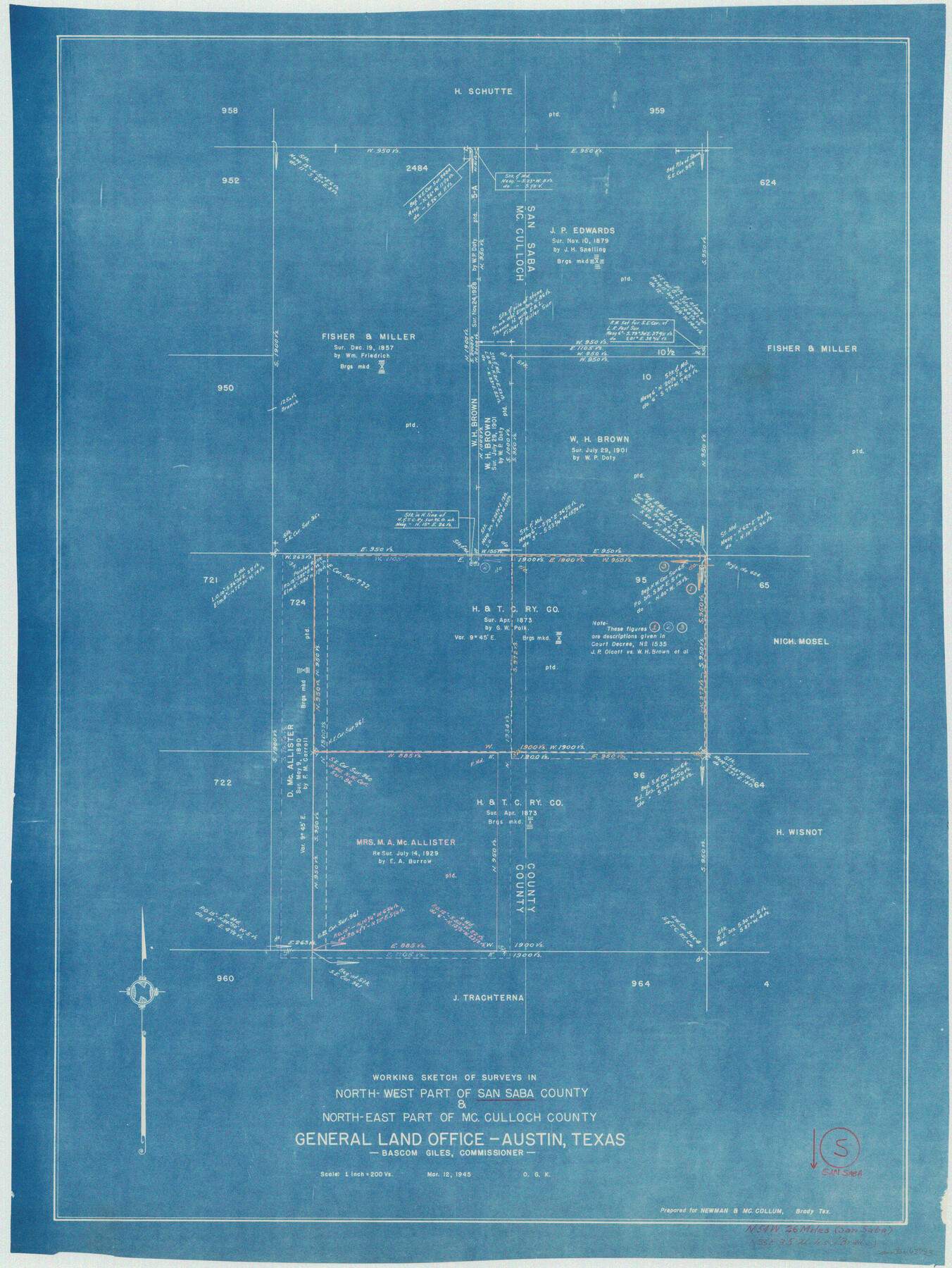
San Saba County Working Sketch 5
-
Map/Doc
63793
-
Collection
General Map Collection
-
Object Dates
3/12/1945 (Creation Date)
-
People and Organizations
Otto G. Kurio (Draftsman)
-
Counties
San Saba McCulloch
-
Subjects
Surveying Working Sketch
-
Height x Width
30.5 x 22.9 inches
77.5 x 58.2 cm
-
Scale
1" = 200 varas
Part of: General Map Collection
Flight Mission No. DAG-21K, Frame 33, Matagorda County

Print $20.00
- Digital $50.00
Flight Mission No. DAG-21K, Frame 33, Matagorda County
1952
Size 18.5 x 22.3 inches
Map/Doc 86400
International Railroad Map & Profile of the First Fifty Miles East of Brazos River

Print $20.00
- Digital $50.00
International Railroad Map & Profile of the First Fifty Miles East of Brazos River
1877
Size 18.8 x 45.7 inches
Map/Doc 64464
Cottle County Working Sketch 14a

Print $20.00
- Digital $50.00
Cottle County Working Sketch 14a
1963
Size 31.2 x 42.1 inches
Map/Doc 68324
Hudspeth County Working Sketch 30

Print $40.00
- Digital $50.00
Hudspeth County Working Sketch 30
Size 80.4 x 36.0 inches
Map/Doc 66313
Fort Bend County Working Sketch 13

Print $20.00
- Digital $50.00
Fort Bend County Working Sketch 13
1946
Size 29.0 x 29.3 inches
Map/Doc 69218
Sutton County Working Sketch 24

Print $20.00
- Digital $50.00
Sutton County Working Sketch 24
1985
Size 32.6 x 42.5 inches
Map/Doc 62367
Oldham County Rolled Sketch 8

Print $20.00
- Digital $50.00
Oldham County Rolled Sketch 8
1931
Size 39.2 x 29.0 inches
Map/Doc 7174
Flight Mission No. DIX-5P, Frame 109, Aransas County

Print $20.00
- Digital $50.00
Flight Mission No. DIX-5P, Frame 109, Aransas County
1956
Size 17.8 x 18.1 inches
Map/Doc 83788
DeWitt County Sketch File 9

Print $22.00
- Digital $50.00
DeWitt County Sketch File 9
1878
Size 5.6 x 5.9 inches
Map/Doc 20820
Hockley County Sketch File 5

Print $4.00
- Digital $50.00
Hockley County Sketch File 5
Size 9.1 x 11.2 inches
Map/Doc 26539
Flight Mission No. DAG-17K, Frame 136, Matagorda County

Print $20.00
- Digital $50.00
Flight Mission No. DAG-17K, Frame 136, Matagorda County
1952
Size 18.5 x 22.3 inches
Map/Doc 86353
Van Zandt County Working Sketch 13

Print $20.00
- Digital $50.00
Van Zandt County Working Sketch 13
1982
Size 14.4 x 14.0 inches
Map/Doc 72263
You may also like
Hays County Working Sketch 12

Print $20.00
- Digital $50.00
Hays County Working Sketch 12
1950
Size 22.8 x 24.3 inches
Map/Doc 66086
Flight Mission No. BRA-16M, Frame 169, Jefferson County

Print $20.00
- Digital $50.00
Flight Mission No. BRA-16M, Frame 169, Jefferson County
1953
Size 18.7 x 22.6 inches
Map/Doc 85767
Sketch Showing Original Corners Affecting Block I and Adjacent Surveys from Actual Connections by W. D. Twichell

Print $20.00
- Digital $50.00
Sketch Showing Original Corners Affecting Block I and Adjacent Surveys from Actual Connections by W. D. Twichell
Size 23.4 x 24.3 inches
Map/Doc 90281
Crockett County Rolled Sketch 80

Print $40.00
- Digital $50.00
Crockett County Rolled Sketch 80
1954
Size 24.8 x 55.5 inches
Map/Doc 8725
Cass County Sketch File 3

Print $4.00
- Digital $50.00
Cass County Sketch File 3
Size 12.8 x 8.5 inches
Map/Doc 17396
Cherokee County Sketch File 15

Print $6.00
- Digital $50.00
Cherokee County Sketch File 15
Size 12.4 x 8.0 inches
Map/Doc 18149
Wharton County Rolled Sketch 5

Print $20.00
- Digital $50.00
Wharton County Rolled Sketch 5
1899
Size 19.3 x 24.6 inches
Map/Doc 8229
DeWitt County

Print $40.00
- Digital $50.00
DeWitt County
1987
Size 42.6 x 53.2 inches
Map/Doc 73131
Map of Sabine County

Print $20.00
- Digital $50.00
Map of Sabine County
1896
Size 25.8 x 17.9 inches
Map/Doc 63012
Working Sketch Cochran and Yoakum Co's.

Print $40.00
- Digital $50.00
Working Sketch Cochran and Yoakum Co's.
1919
Size 54.5 x 16.4 inches
Map/Doc 89688
San Patricio County Rolled Sketch 35A

Print $20.00
- Digital $50.00
San Patricio County Rolled Sketch 35A
1958
Size 23.1 x 17.4 inches
Map/Doc 7587
Haskell County Rolled Sketch 6

Print $20.00
- Digital $50.00
Haskell County Rolled Sketch 6
1940
Size 22.3 x 19.6 inches
Map/Doc 6166