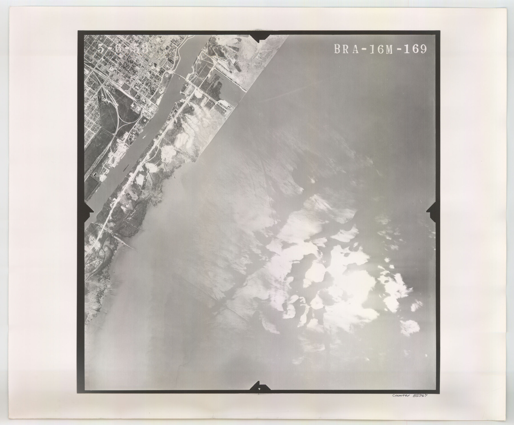
Flight Mission No. BRA-16M, Frame 169, Jefferson County
BRA-16M-169
-
Map/Doc
85767
-
Collection
General Map Collection
-
Object Dates
1953/5/6 (Creation Date)
-
People and Organizations
U. S. Department of Agriculture (Publisher)
-
Counties
Jefferson
-
Subjects
Aerial Photograph
-
Height x Width
18.7 x 22.6 inches
47.5 x 57.4 cm
-
Comments
Flown by Jack Ammann Photogrammetric Engineers of San Antonio, Texas.
Part of: General Map Collection
Kenedy County Rolled Sketch 13

Print $20.00
- Digital $50.00
Kenedy County Rolled Sketch 13
1946
Size 38.2 x 45.5 inches
Map/Doc 9334
Aransas County Rolled Sketch 1

Print $40.00
- Digital $50.00
Aransas County Rolled Sketch 1
1930
Size 16.6 x 53.4 inches
Map/Doc 8404
Wilbarger County Rolled Sketch 10

Print $20.00
- Digital $50.00
Wilbarger County Rolled Sketch 10
1983
Size 37.6 x 23.8 inches
Map/Doc 8259
Young County Working Sketch 16

Print $20.00
- Digital $50.00
Young County Working Sketch 16
1955
Size 23.8 x 21.7 inches
Map/Doc 62039
Culberson County Working Sketch 2

Print $20.00
- Digital $50.00
Culberson County Working Sketch 2
Size 27.7 x 18.7 inches
Map/Doc 68454
Pecos County Rolled Sketch 144

Print $20.00
- Digital $50.00
Pecos County Rolled Sketch 144
1956
Size 28.5 x 29.8 inches
Map/Doc 7277
Hardin County Sketch File 16

Print $8.00
- Digital $50.00
Hardin County Sketch File 16
Size 8.3 x 11.4 inches
Map/Doc 25125
Kent County Boundary File 11

Print $4.00
- Digital $50.00
Kent County Boundary File 11
Size 13.9 x 8.8 inches
Map/Doc 55895
Flight Mission No. BRA-16M, Frame 149, Jefferson County

Print $20.00
- Digital $50.00
Flight Mission No. BRA-16M, Frame 149, Jefferson County
1953
Size 18.6 x 22.3 inches
Map/Doc 85755
Sketch Showing Land Ties with Houston & Texas Central Railroad Through Harris County, Texas

Print $20.00
- Digital $50.00
Sketch Showing Land Ties with Houston & Texas Central Railroad Through Harris County, Texas
1880
Size 7.3 x 27.0 inches
Map/Doc 66739
Bandera County Working Sketch 8

Print $20.00
- Digital $50.00
Bandera County Working Sketch 8
1920
Size 16.6 x 20.8 inches
Map/Doc 67601
Williamson County Rolled Sketch 3

Print $20.00
- Digital $50.00
Williamson County Rolled Sketch 3
1915
Size 40.1 x 30.9 inches
Map/Doc 8261
You may also like
Lavaca County Sketch File 7

Print $4.00
- Digital $50.00
Lavaca County Sketch File 7
1873
Size 7.9 x 9.8 inches
Map/Doc 29642
Clay County Sketch File 37

Print $8.00
- Digital $50.00
Clay County Sketch File 37
1935
Size 11.6 x 7.2 inches
Map/Doc 18465
Map of Comal County, Texas

Print $20.00
- Digital $50.00
Map of Comal County, Texas
1879
Size 23.4 x 28.6 inches
Map/Doc 701
![90967, [Survey 12], Twichell Survey Records](https://historictexasmaps.com/wmedia_w700/maps/90967-1.tif.jpg)
San Patricio County NRC Article 33.136 Sketch 1

Print $32.00
- Digital $50.00
San Patricio County NRC Article 33.136 Sketch 1
2001
Size 18.5 x 24.1 inches
Map/Doc 61623
Flight Mission No. DAG-16K, Frame 74, Matagorda County

Print $20.00
- Digital $50.00
Flight Mission No. DAG-16K, Frame 74, Matagorda County
1952
Size 18.6 x 22.3 inches
Map/Doc 86320
Crosby County

Print $20.00
- Digital $50.00
Crosby County
1927
Size 41.2 x 36.4 inches
Map/Doc 95472
No. 3 Chart of Channel connecting Corpus Christi Bay with Aransas Bay, Texas

Print $20.00
- Digital $50.00
No. 3 Chart of Channel connecting Corpus Christi Bay with Aransas Bay, Texas
1878
Size 18.1 x 27.8 inches
Map/Doc 72780
Uvalde County Working Sketch 61

Print $20.00
- Digital $50.00
Uvalde County Working Sketch 61
1978
Size 40.4 x 37.4 inches
Map/Doc 72131
Burleson County Working Sketch 21

Print $20.00
- Digital $50.00
Burleson County Working Sketch 21
1980
Size 16.4 x 12.7 inches
Map/Doc 67740
Nolan County Sketch File 9

Print $26.00
- Digital $50.00
Nolan County Sketch File 9
1902
Size 14.3 x 9.0 inches
Map/Doc 32465
Map of the Hearne and Brazos Valley Railroad from Mumford to Moseley's Ferry

Print $40.00
- Digital $50.00
Map of the Hearne and Brazos Valley Railroad from Mumford to Moseley's Ferry
1892
Size 20.0 x 56.8 inches
Map/Doc 64400