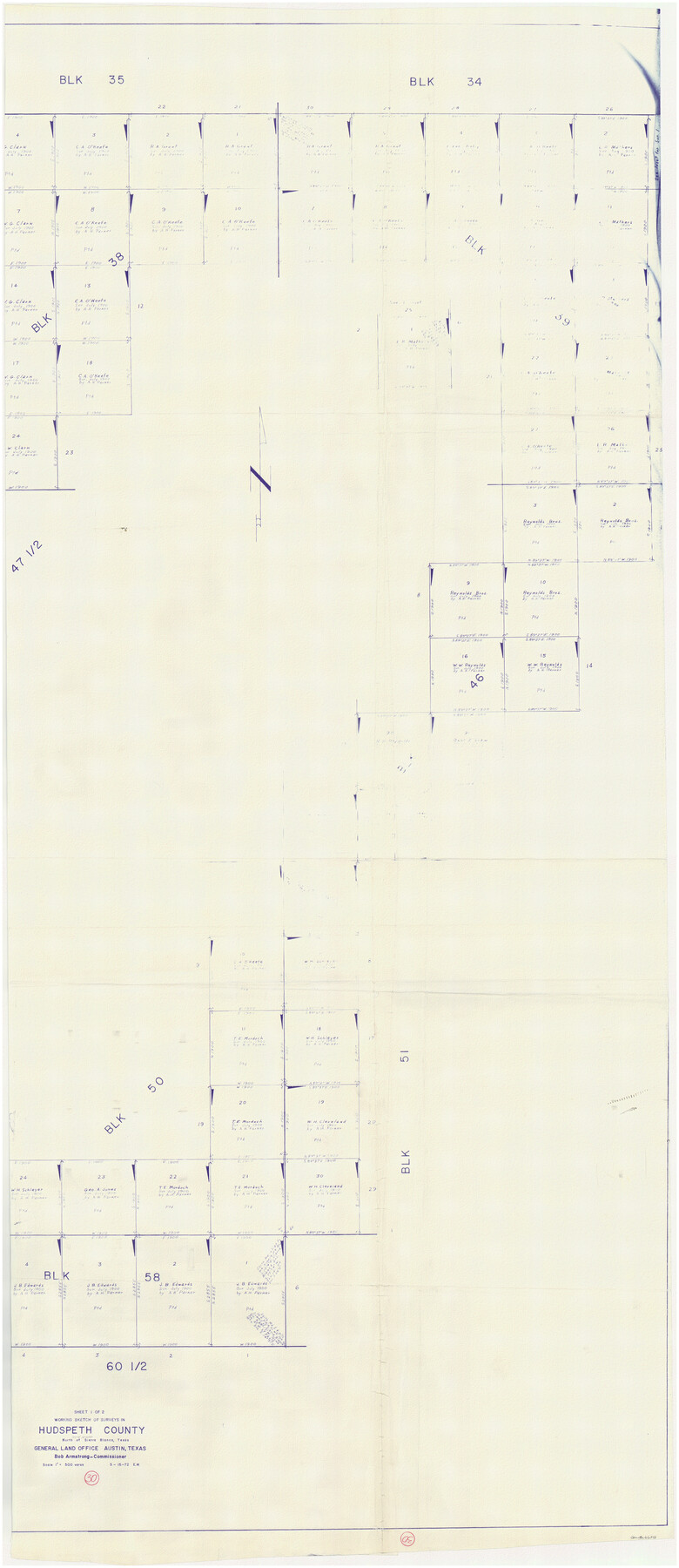
Hudspeth County Working Sketch 30
-
Map/Doc
66313
-
Collection
General Map Collection
-
Object Dates
5/15/1972 (Edition Date)
-
People and Organizations
Elbert Menzel (Draftsman)
-
Counties
Hudspeth
-
Subjects
Surveying Working Sketch
-
Height x Width
80.4 x 36.0 inches
204.2 x 91.4 cm
-
Scale
1" = 500 varas
-
Comments
Segment 2; for segment 1 see counter No. 66312.
Related maps
Hudspeth County Working Sketch 30

Print $40.00
- Digital $50.00
Hudspeth County Working Sketch 30
1972
Size 80.8 x 42.2 inches
Map/Doc 66312
Part of: General Map Collection
Hutchinson County Sketch File 28

Print $6.00
- Digital $50.00
Hutchinson County Sketch File 28
1926
Size 11.3 x 8.8 inches
Map/Doc 27261
Flight Mission No. BRA-8M, Frame 66, Jefferson County

Print $20.00
- Digital $50.00
Flight Mission No. BRA-8M, Frame 66, Jefferson County
1953
Size 18.6 x 22.1 inches
Map/Doc 85586
Concho County Rolled Sketch 18

Print $20.00
- Digital $50.00
Concho County Rolled Sketch 18
1955
Size 11.4 x 18.3 inches
Map/Doc 5553
Briscoe County Sketch File M

Print $40.00
- Digital $50.00
Briscoe County Sketch File M
Size 36.1 x 28.0 inches
Map/Doc 11010
Milam County Rolled Sketch 5

Print $20.00
- Digital $50.00
Milam County Rolled Sketch 5
Size 27.9 x 39.8 inches
Map/Doc 6777
[Map of Starr County]
![4049, [Map of Starr County], General Map Collection](https://historictexasmaps.com/wmedia_w700/maps/4049.tif.jpg)
Print $20.00
- Digital $50.00
[Map of Starr County]
Size 18.8 x 16.2 inches
Map/Doc 4049
[Galveston, Harrisburg & San Antonio Railroad from Cuero to Stockdale]
![64193, [Galveston, Harrisburg & San Antonio Railroad from Cuero to Stockdale], General Map Collection](https://historictexasmaps.com/wmedia_w700/maps/64193.tif.jpg)
Print $20.00
- Digital $50.00
[Galveston, Harrisburg & San Antonio Railroad from Cuero to Stockdale]
1907
Size 13.7 x 34.0 inches
Map/Doc 64193
Red River County Working Sketch 17

Print $20.00
- Digital $50.00
Red River County Working Sketch 17
1954
Size 23.2 x 18.8 inches
Map/Doc 72000
Medina County Rolled Sketch 10

Print $20.00
- Digital $50.00
Medina County Rolled Sketch 10
1977
Size 14.3 x 21.7 inches
Map/Doc 6744
Orange County Sketch File 12

Print $4.00
- Digital $50.00
Orange County Sketch File 12
1876
Size 12.7 x 7.9 inches
Map/Doc 33324
King County Working Sketch 10

Print $20.00
- Digital $50.00
King County Working Sketch 10
1956
Size 19.1 x 13.9 inches
Map/Doc 70174
Wood County Boundary File 2

Print $8.00
- Digital $50.00
Wood County Boundary File 2
Size 8.4 x 7.1 inches
Map/Doc 60155
You may also like
Map of Henderson County

Print $20.00
- Digital $50.00
Map of Henderson County
1871
Size 16.0 x 31.4 inches
Map/Doc 3665
Terry County Boundary File 4

Print $64.00
- Digital $50.00
Terry County Boundary File 4
Size 14.5 x 8.9 inches
Map/Doc 59236
[King/Stonewall County Line]
![90979, [King/Stonewall County Line], Twichell Survey Records](https://historictexasmaps.com/wmedia_w700/maps/90979-1.tif.jpg)
Print $20.00
- Digital $50.00
[King/Stonewall County Line]
1895
Size 38.9 x 8.3 inches
Map/Doc 90979

Township No. 1 South Range No. 25 West of the Indian Meridian

Print $20.00
- Digital $50.00
Township No. 1 South Range No. 25 West of the Indian Meridian
1875
Size 19.2 x 24.3 inches
Map/Doc 75248
Hutchinson County Sketch File 15

Print $20.00
- Digital $50.00
Hutchinson County Sketch File 15
Size 20.7 x 26.7 inches
Map/Doc 11813
Liberty County Working Sketch 18

Print $20.00
- Digital $50.00
Liberty County Working Sketch 18
1939
Size 20.5 x 20.4 inches
Map/Doc 70477
Yoakum County Rolled Sketch 1

Print $20.00
- Digital $50.00
Yoakum County Rolled Sketch 1
1939
Size 40.5 x 37.5 inches
Map/Doc 10162
Galveston County Rolled Sketch 28

Print $347.00
- Digital $50.00
Galveston County Rolled Sketch 28
Size 22.6 x 18.1 inches
Map/Doc 6068
Hudspeth County Rolled Sketch 20

Print $20.00
- Digital $50.00
Hudspeth County Rolled Sketch 20
Size 39.5 x 44.3 inches
Map/Doc 76028
[Sketch showing Block 47, sections 77-108]
![91732, [Sketch showing Block 47, sections 77-108], Twichell Survey Records](https://historictexasmaps.com/wmedia_w700/maps/91732-1.tif.jpg)
Print $20.00
- Digital $50.00
[Sketch showing Block 47, sections 77-108]
1919
Size 20.5 x 34.1 inches
Map/Doc 91732
Eastham State Farm - Houston, Walker Counties and Ferguson State Farm, Madison County

Print $20.00
- Digital $50.00
Eastham State Farm - Houston, Walker Counties and Ferguson State Farm, Madison County
Size 27.7 x 40.3 inches
Map/Doc 62975