
A Map of Sterling County
1919

Andrews County Rolled Sketch 42

Coke County Sketch File 17-18
1902

Coke County Sketch File 23
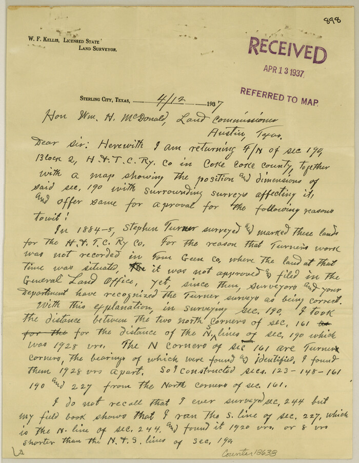
Coke County Sketch File 27
1937
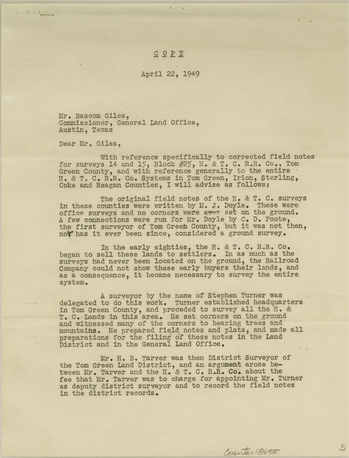
Coke County Sketch File 32
1949

Coke County Sketch File 38
1858

Coke County Working Sketch 8
1926

Concho, San Saba & Llano Valley Railway, Sterling City Branch, Texas. Right of Way and Track Map
1910

Concho, San Saba & Llano Valley Railway, Sterling City Branch, Texas. Right of Way and Track Map
1910

Concho, San Saba & Llano Valley Railway, Sterling City Branch, Texas. Right of Way and Track Map
1910

Concho, San Saba & Llano Valley Railway, Sterling City Branch, Texas. Right of Way and Track Map
1910
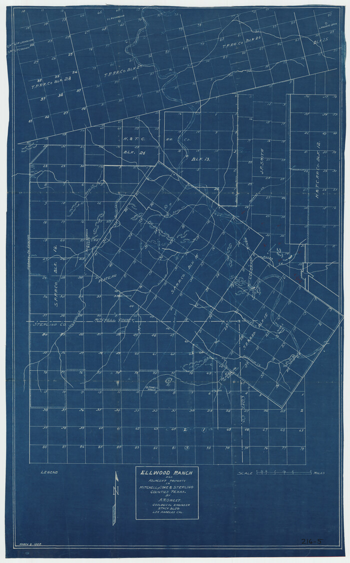
Ellwood Ranch and Adjacent Property in Mitchell, Coke & Sterling Counties, Texas
1925

General Highway Map, Sterling County, Texas
1940
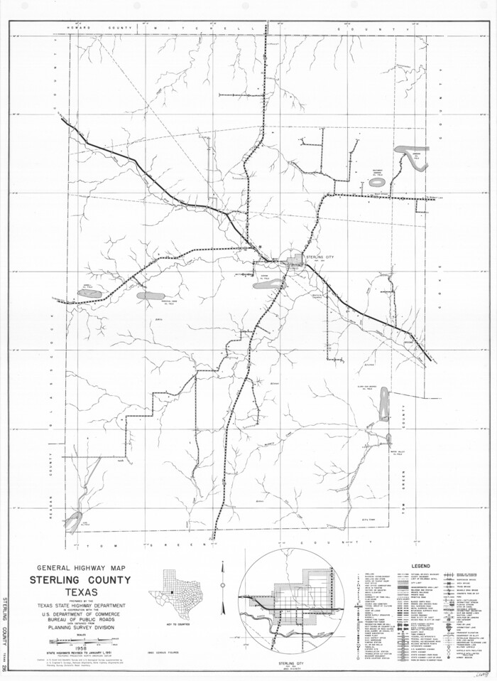
General Highway Map, Sterling County, Texas
1961
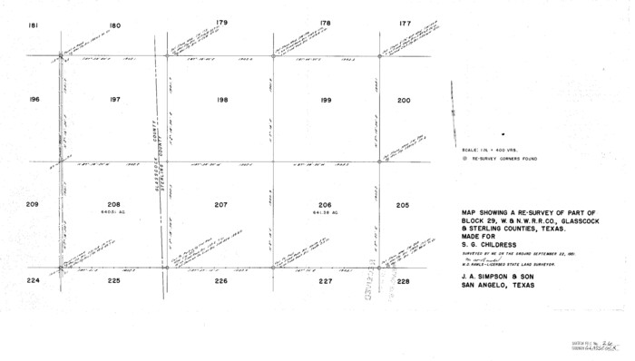
Glasscock County Sketch File 26
1951

Glasscock County Sketch File 28
1877
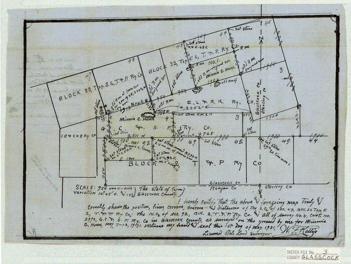
Glasscock County Sketch File 3
1931
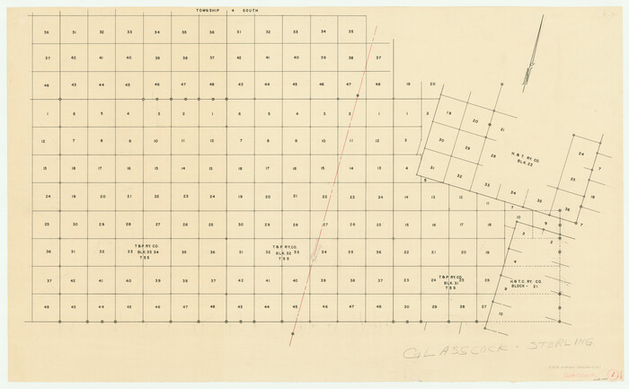
Glasscock County Working Sketch 1
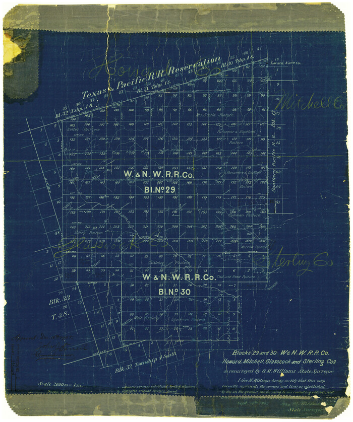
Howard County Rolled Sketch 2
1905

Irion County Rolled Sketch 7

Irion County Rolled Sketch 8
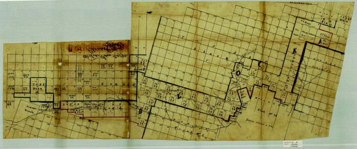
Irion County Sketch File 1
1881
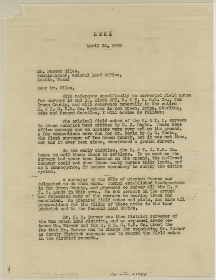
Irion County Sketch File 14
1949

Irion County Sketch File 2
1890

Map Showing Blocks 15, 16 & 18 S.P.R.R.Co.
1933

Mitchell County Rolled Sketch 2A
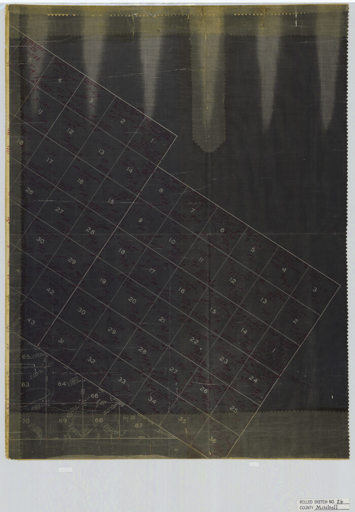
Mitchell County Rolled Sketch 2B

Mitchell County Rolled Sketch 3
1940
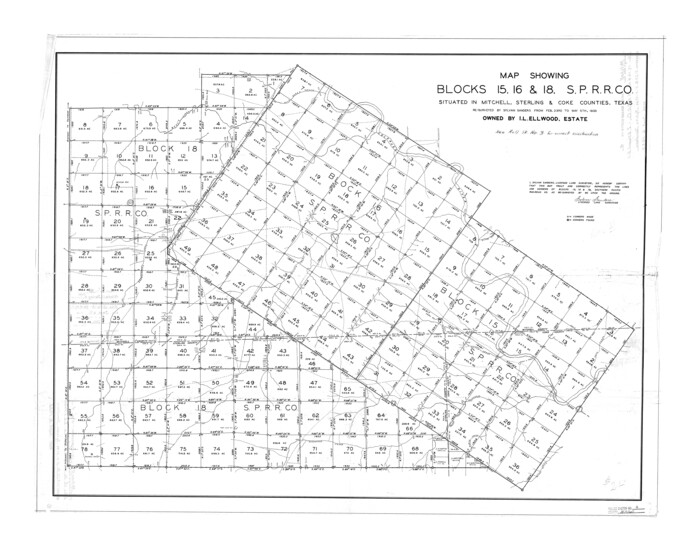
Mitchell County Rolled Sketch 4

A Map of Sterling County
1919
-
Size
33.3 x 21.6 inches
-
Map/Doc
4054
-
Creation Date
1919

Andrews County Rolled Sketch 42
-
Size
27.3 x 36.0 inches
-
Map/Doc
77182

Coke County Sketch File 17-18
1902
-
Size
16.6 x 14.2 inches
-
Map/Doc
11109
-
Creation Date
1902

Coke County Sketch File 23
-
Size
43.9 x 18.5 inches
-
Map/Doc
10338

Coke County Sketch File 27
1937
-
Size
11.2 x 8.7 inches
-
Map/Doc
18638
-
Creation Date
1937

Coke County Sketch File 32
1949
-
Size
11.1 x 8.5 inches
-
Map/Doc
18645
-
Creation Date
1949

Coke County Sketch File 38
1858
-
Size
8.0 x 10.0 inches
-
Map/Doc
82529
-
Creation Date
1858

Coke County Working Sketch 8
1926
-
Size
26.9 x 25.5 inches
-
Map/Doc
68045
-
Creation Date
1926

Concho, San Saba & Llano Valley Railway, Sterling City Branch, Texas. Right of Way and Track Map
1910
-
Size
17.9 x 120.8 inches
-
Map/Doc
64436
-
Creation Date
1910

Concho, San Saba & Llano Valley Railway, Sterling City Branch, Texas. Right of Way and Track Map
1910
-
Size
17.7 x 57.8 inches
-
Map/Doc
64437
-
Creation Date
1910

Concho, San Saba & Llano Valley Railway, Sterling City Branch, Texas. Right of Way and Track Map
1910
-
Size
18.1 x 121.2 inches
-
Map/Doc
64438
-
Creation Date
1910

Concho, San Saba & Llano Valley Railway, Sterling City Branch, Texas. Right of Way and Track Map
1910
-
Size
18.3 x 59.7 inches
-
Map/Doc
64439
-
Creation Date
1910

Ellwood Ranch and Adjacent Property in Mitchell, Coke & Sterling Counties, Texas
1925
-
Size
17.6 x 27.8 inches
-
Map/Doc
91884
-
Creation Date
1925

General Highway Map, Sterling County, Texas
1940
-
Size
24.9 x 18.4 inches
-
Map/Doc
79248
-
Creation Date
1940

General Highway Map, Sterling County, Texas
1961
-
Size
24.8 x 18.1 inches
-
Map/Doc
79661
-
Creation Date
1961

Glasscock County Sketch File 26
1951
-
Size
16.1 x 28.3 inches
-
Map/Doc
11567
-
Creation Date
1951

Glasscock County Sketch File 28
1877
-
Size
15.7 x 15.9 inches
-
Map/Doc
38163
-
Creation Date
1877

Glasscock County Sketch File 3
1931
-
Size
11.1 x 14.8 inches
-
Map/Doc
11560
-
Creation Date
1931

Glasscock County Working Sketch 1
-
Size
26.6 x 43.0 inches
-
Map/Doc
63174

Howard County Rolled Sketch 2
1905
-
Size
27.6 x 23.0 inches
-
Map/Doc
6232
-
Creation Date
1905

Irion County Rolled Sketch 7
-
Size
43.9 x 33.8 inches
-
Map/Doc
9250

Irion County Rolled Sketch 8
-
Size
42.9 x 34.1 inches
-
Map/Doc
9251

Irion County Sketch File 1
1881
-
Size
43.9 x 18.3 inches
-
Map/Doc
10615
-
Creation Date
1881

Irion County Sketch File 14
1949
-
Size
11.2 x 8.7 inches
-
Map/Doc
27486
-
Creation Date
1949

Irion County Sketch File 2
1890
-
Size
11.2 x 8.4 inches
-
Map/Doc
27456
-
Creation Date
1890

Map Showing Blocks 15, 16 & 18 S.P.R.R.Co.
1933
-
Size
24.7 x 19.1 inches
-
Map/Doc
92282
-
Creation Date
1933

Mitchell County Rolled Sketch 2A
-
Size
24.2 x 18.5 inches
-
Map/Doc
88857

Mitchell County Rolled Sketch 2B
-
Size
26.9 x 18.6 inches
-
Map/Doc
6784

Mitchell County Rolled Sketch 3
1940
-
Size
39.6 x 49.0 inches
-
Map/Doc
9524
-
Creation Date
1940

Mitchell County Rolled Sketch 4
-
Size
32.6 x 41.4 inches
-
Map/Doc
6785