138 results

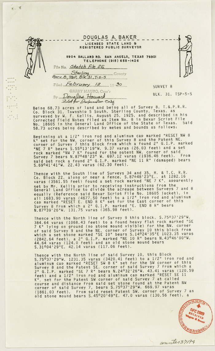
Sterling County Sketch File 26
37194, Sterling County Sketch File 26, General Map Collection
Print $24.00 - Digital $50.00

Sterling County Sketch File 26

1989
Size: 14.2 x 8.8 inches
37194
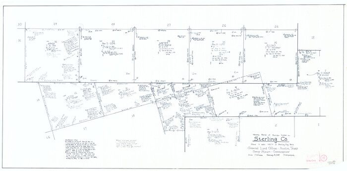
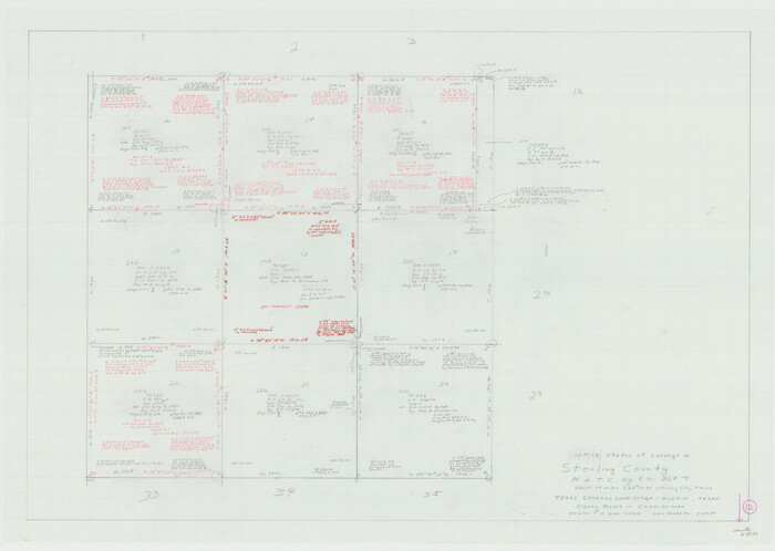
Sterling County Rolled Sketch 38
7863.tif
Print $20.00 - Digital $50.00

Sterling County Rolled Sketch 38

1988
Size: 25.0 x 31.7 inches
7863
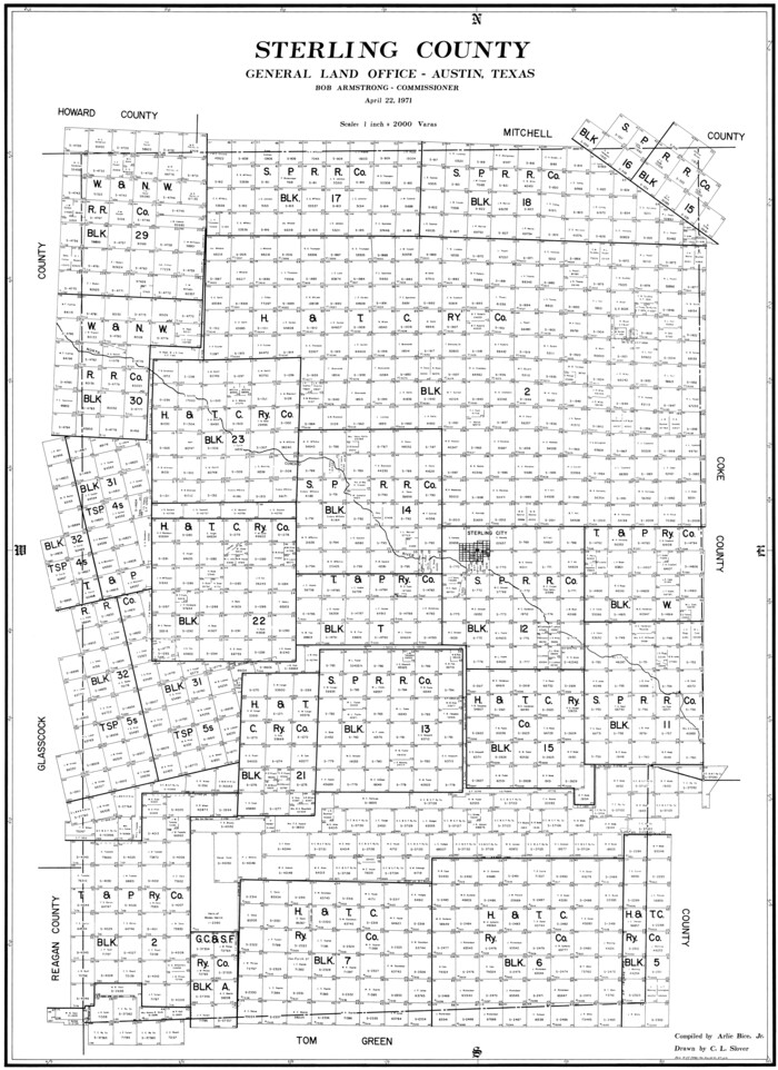
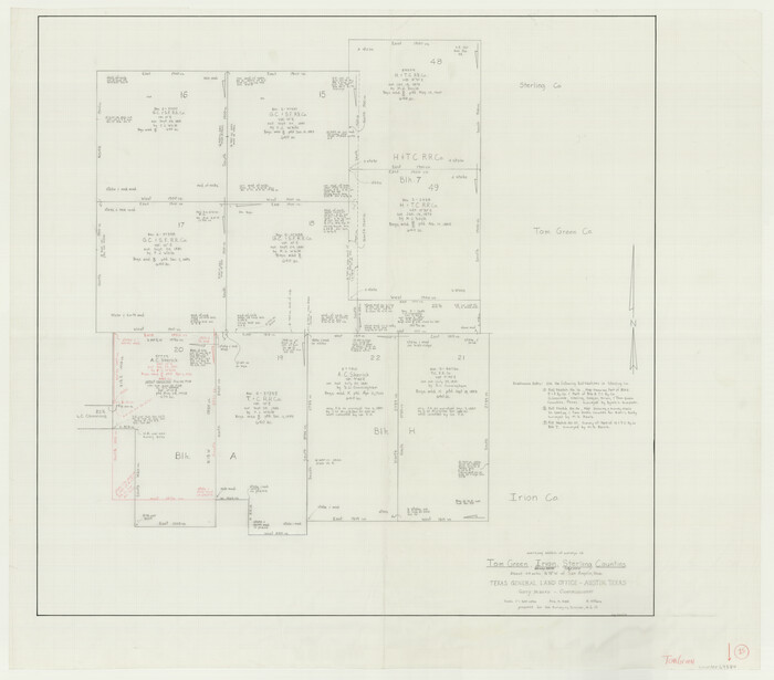
Sterling County
73294.tif
Print $20.00 - Digital $50.00

Sterling County

1971

Size: 44.7 x 33.4 inches
73294
Sterling County Working Sketch Graphic Index
76703.tif
Print $20.00 - Digital $50.00

Sterling County Working Sketch Graphic Index

1971
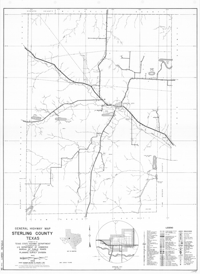
Size: 45.5 x 36.3 inches
76703
Sterling County
77427.tif
Print $20.00 - Digital $50.00

Sterling County

1971

Size: 42.8 x 31.1 inches
77427
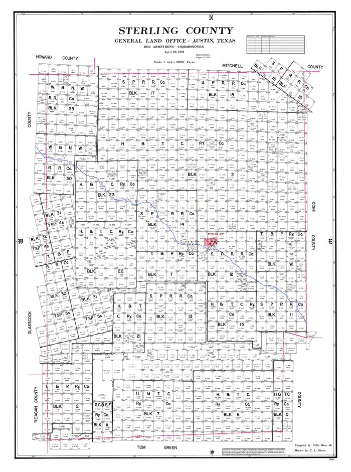
Sterling County
95645.tif
Print $20.00 - Digital $50.00

Sterling County

1971

Size: 45.6 x 33.9 inches
95645
General Highway Map, Sterling County, Texas
79661.tif
Print $20.00

General Highway Map, Sterling County, Texas

1961
Size: 24.8 x 18.1 inches
79661
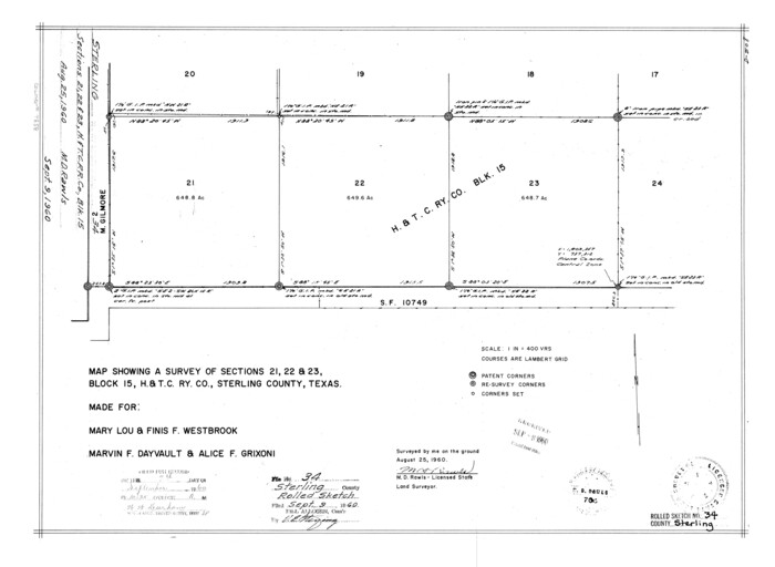
Sterling County Rolled Sketch 34
7858.tif
Print $20.00 - Digital $50.00

Sterling County Rolled Sketch 34

1960
Size: 16.0 x 21.8 inches
7858
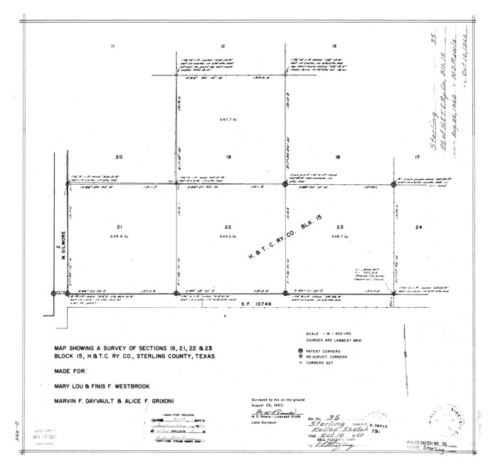
Sterling County Rolled Sketch 35
7859.tif
Print $20.00 - Digital $50.00

Sterling County Rolled Sketch 35

1960
Size: 20.8 x 21.8 inches
7859
Sterling County Sketch File 23
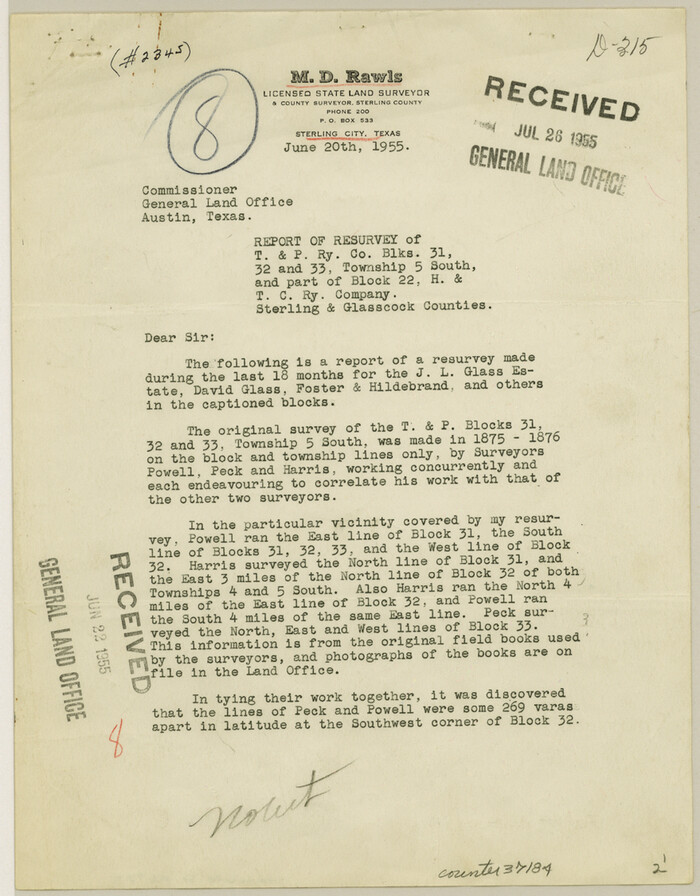
37184, Sterling County Sketch File 23, General Map Collection
Print $10.00 - Digital $50.00

Sterling County Sketch File 23

1955

Size: 11.2 x 8.8 inches
37184
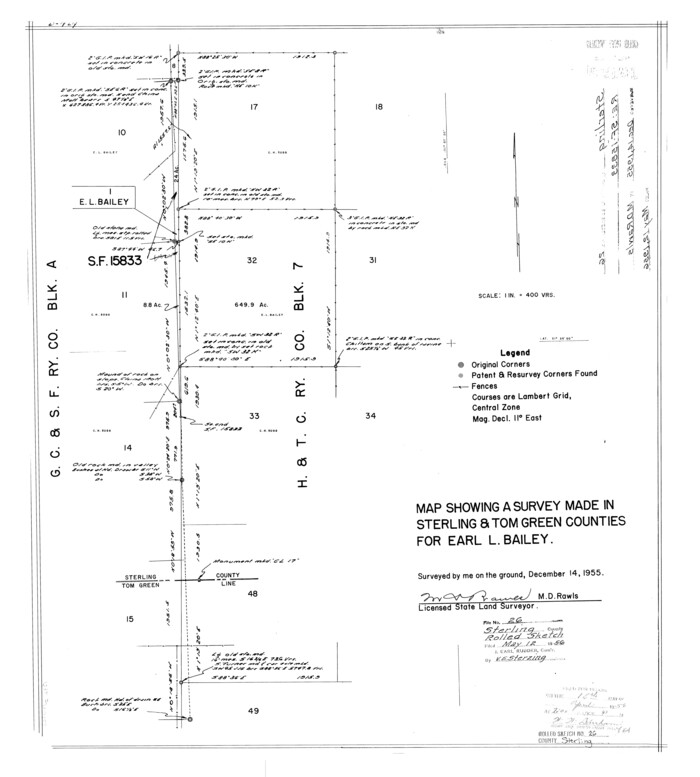
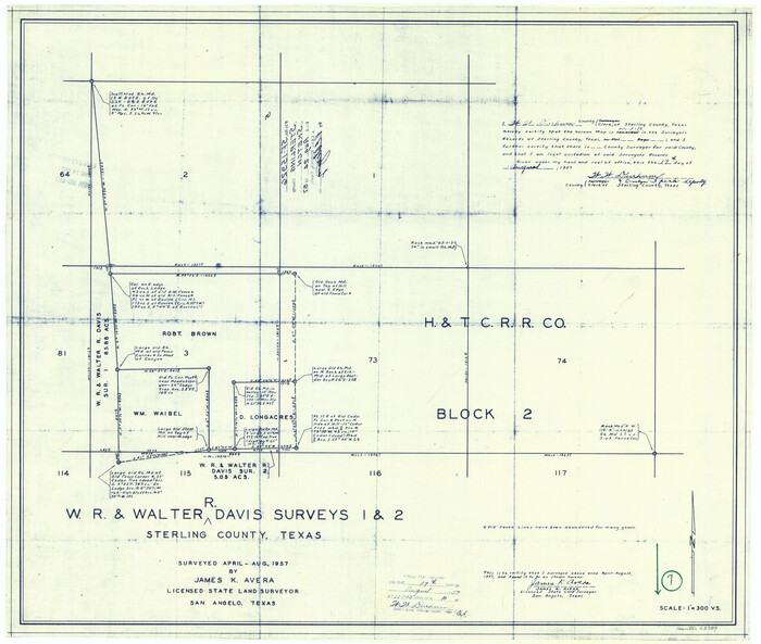
Sterling County Rolled Sketch 26
7851.tif
Print $20.00 - Digital $50.00

Sterling County Rolled Sketch 26

1955
Size: 23.8 x 21.4 inches
7851
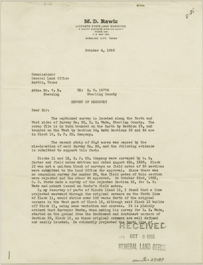
Sterling County Sketch File 24
37189, Sterling County Sketch File 24, General Map Collection
Print $6.00 - Digital $50.00

Sterling County Sketch File 24

1955

Size: 11.1 x 8.5 inches
37189
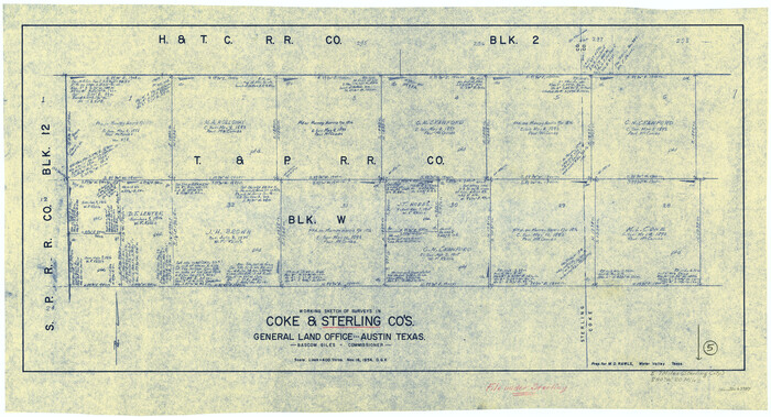
Sterling County Sketch File 21
37179, Sterling County Sketch File 21, General Map Collection
Print $6.00 - Digital $50.00

Sterling County Sketch File 21

1954

Size: 9.7 x 8.4 inches
37179
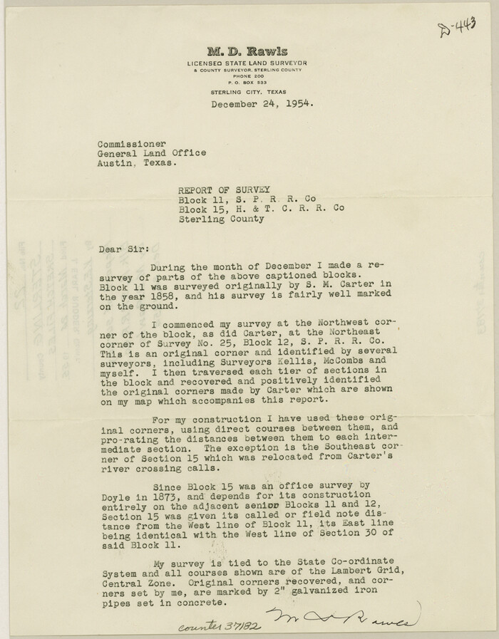
Sterling County Sketch File 22
37182, Sterling County Sketch File 22, General Map Collection
Print $4.00 - Digital $50.00

Sterling County Sketch File 22

1954

Size: 11.2 x 8.7 inches
37182
Sterling County Sketch File 20
37173, Sterling County Sketch File 20, General Map Collection
Print $12.00 - Digital $50.00

Sterling County Sketch File 20

1952

Size: 11.2 x 8.7 inches
37173
Reagan County Rolled Sketch 26
9820.tif
Print $20.00 - Digital $50.00

Reagan County Rolled Sketch 26

1951

Size: 32.7 x 42.7 inches
9820
Sterling County Rolled Sketch 16
9948.tif
Print $40.00 - Digital $50.00

Sterling County Rolled Sketch 16

1951
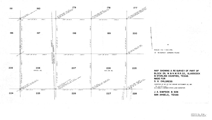
Size: 73.6 x 43.0 inches
9948
Glasscock County Sketch File 26
11567, Glasscock County Sketch File 26, General Map Collection
Print $20.00 - Digital $50.00

Glasscock County Sketch File 26

1951

Size: 16.1 x 28.3 inches
11567
Reagan County Rolled Sketch 21
9815-GC.tif
Print $20.00 - Digital $50.00

Reagan County Rolled Sketch 21

1950

Size: 32.5 x 42.2 inches
9815
Reagan County Rolled Sketch 21A
9816.tif
Print $20.00 - Digital $50.00

Reagan County Rolled Sketch 21A

1950

Size: 34.8 x 43.4 inches
9816
Coke County Sketch File 32
18645, Coke County Sketch File 32, General Map Collection
Print $8.00 - Digital $50.00

Coke County Sketch File 32

1949

Size: 11.1 x 8.5 inches
18645
Irion County Sketch File 14
27486, Irion County Sketch File 14, General Map Collection
Print $8.00 - Digital $50.00

Irion County Sketch File 14

1949

Size: 11.2 x 8.7 inches
27486
Sterling County Sketch File 19
37169, Sterling County Sketch File 19, General Map Collection
Print $8.00 - Digital $50.00

Sterling County Sketch File 19

1949

Size: 11.2 x 8.6 inches
37169
Sterling County Rolled Sketch 13
7847.tif
Print $20.00 - Digital $50.00

Sterling County Rolled Sketch 13

1945

Size: 34.9 x 27.3 inches
7847
Sterling County Rolled Sketch 12
9946.tif
Print $20.00 - Digital $50.00

Sterling County Rolled Sketch 12

1941

Size: 35.6 x 35.0 inches
9946
Mitchell County Rolled Sketch 3
9524.tif
Print $40.00 - Digital $50.00

Mitchell County Rolled Sketch 3

1940

Size: 39.6 x 49.0 inches
9524
General Highway Map, Sterling County, Texas
79248.tif
Print $20.00

General Highway Map, Sterling County, Texas

1940

Size: 24.9 x 18.4 inches
79248
Sterling County Rolled Sketch 10
7846.tif
Print $20.00 - Digital $50.00

Sterling County Rolled Sketch 10

1939

Size: 24.2 x 31.2 inches
7846
Sterling County Sketch File 18
37161, Sterling County Sketch File 18, General Map Collection
Print $8.00 - Digital $50.00

Sterling County Sketch File 18

1939

Size: 11.2 x 8.7 inches
37161
Coke County Sketch File 27
18638, Coke County Sketch File 27, General Map Collection
Print $26.00 - Digital $50.00

Coke County Sketch File 27

1937

Size: 11.2 x 8.7 inches
18638
Sterling County Sketch File 26
37194, Sterling County Sketch File 26, General Map Collection
Print $24.00 - Digital $50.00

Sterling County Sketch File 26

1989

  • Size

    14.2 x 8.8 inches

  • Map/Doc

    37194

  • Creation Date

    1989

Sterling County Rolled Sketch 38
7863, Sterling County Rolled Sketch 38, General Map Collection
Print $20.00 - Digital $50.00

Sterling County Rolled Sketch 38

1988

  • Size

    25.0 x 31.7 inches

  • Map/Doc

    7863

  • Creation Date

    1988

Sterling County
73294, Sterling County, General Map Collection
Print $20.00 - Digital $50.00

Sterling County

1971

  • Size

    44.7 x 33.4 inches

  • Map/Doc

    73294

  • Creation Date

    1971

Sterling County Working Sketch Graphic Index
76703, Sterling County Working Sketch Graphic Index, General Map Collection
Print $20.00 - Digital $50.00

Sterling County Working Sketch Graphic Index

1971

  • Size

    45.5 x 36.3 inches

  • Map/Doc

    76703

  • Creation Date

    1971

Sterling County
77427, Sterling County, General Map Collection
Print $20.00 - Digital $50.00

Sterling County

1971

  • Size

    42.8 x 31.1 inches

  • Map/Doc

    77427

  • Creation Date

    1971

Sterling County
95645, Sterling County, General Map Collection
Print $20.00 - Digital $50.00

Sterling County

1971

  • Size

    45.6 x 33.9 inches

  • Map/Doc

    95645

  • Creation Date

    1971

General Highway Map, Sterling County, Texas
79661, General Highway Map, Sterling County, Texas, Texas State Library and Archives
Print $20.00

General Highway Map, Sterling County, Texas

1961

  • Size

    24.8 x 18.1 inches

  • Map/Doc

    79661

  • Creation Date

    1961

Sterling County Rolled Sketch 34
7858, Sterling County Rolled Sketch 34, General Map Collection
Print $20.00 - Digital $50.00

Sterling County Rolled Sketch 34

1960

  • Size

    16.0 x 21.8 inches

  • Map/Doc

    7858

  • Creation Date

    1960

Sterling County Rolled Sketch 35
7859, Sterling County Rolled Sketch 35, General Map Collection
Print $20.00 - Digital $50.00

Sterling County Rolled Sketch 35

1960

  • Size

    20.8 x 21.8 inches

  • Map/Doc

    7859

  • Creation Date

    1960

Sterling County Sketch File 23
37184, Sterling County Sketch File 23, General Map Collection
Print $10.00 - Digital $50.00

Sterling County Sketch File 23

1955

  • Size

    11.2 x 8.8 inches

  • Map/Doc

    37184

  • Creation Date

    1955

Sterling County Rolled Sketch 26
7851, Sterling County Rolled Sketch 26, General Map Collection
Print $20.00 - Digital $50.00

Sterling County Rolled Sketch 26

1955

  • Size

    23.8 x 21.4 inches

  • Map/Doc

    7851

  • Creation Date

    1955

Sterling County Sketch File 24
37189, Sterling County Sketch File 24, General Map Collection
Print $6.00 - Digital $50.00

Sterling County Sketch File 24

1955

  • Size

    11.1 x 8.5 inches

  • Map/Doc

    37189

  • Creation Date

    1955

Sterling County Sketch File 21
37179, Sterling County Sketch File 21, General Map Collection
Print $6.00 - Digital $50.00

Sterling County Sketch File 21

1954

  • Size

    9.7 x 8.4 inches

  • Map/Doc

    37179

  • Creation Date

    1954

Sterling County Sketch File 22
37182, Sterling County Sketch File 22, General Map Collection
Print $4.00 - Digital $50.00

Sterling County Sketch File 22

1954

  • Size

    11.2 x 8.7 inches

  • Map/Doc

    37182

  • Creation Date

    1954

Sterling County Sketch File 20
37173, Sterling County Sketch File 20, General Map Collection
Print $12.00 - Digital $50.00

Sterling County Sketch File 20

1952

  • Size

    11.2 x 8.7 inches

  • Map/Doc

    37173

  • Creation Date

    1952

Reagan County Rolled Sketch 26
9820, Reagan County Rolled Sketch 26, General Map Collection
Print $20.00 - Digital $50.00

Reagan County Rolled Sketch 26

1951

  • Size

    32.7 x 42.7 inches

  • Map/Doc

    9820

  • Creation Date

    1951

Sterling County Rolled Sketch 16
9948, Sterling County Rolled Sketch 16, General Map Collection
Print $40.00 - Digital $50.00

Sterling County Rolled Sketch 16

1951

  • Size

    73.6 x 43.0 inches

  • Map/Doc

    9948

  • Creation Date

    1951

Glasscock County Sketch File 26
11567, Glasscock County Sketch File 26, General Map Collection
Print $20.00 - Digital $50.00

Glasscock County Sketch File 26

1951

  • Size

    16.1 x 28.3 inches

  • Map/Doc

    11567

  • Creation Date

    1951

Reagan County Rolled Sketch 21
9815, Reagan County Rolled Sketch 21, General Map Collection
Print $20.00 - Digital $50.00

Reagan County Rolled Sketch 21

1950

  • Size

    32.5 x 42.2 inches

  • Map/Doc

    9815

  • Creation Date

    1950

Reagan County Rolled Sketch 21A
9816, Reagan County Rolled Sketch 21A, General Map Collection
Print $20.00 - Digital $50.00

Reagan County Rolled Sketch 21A

1950

  • Size

    34.8 x 43.4 inches

  • Map/Doc

    9816

  • Creation Date

    1950

Coke County Sketch File 32
18645, Coke County Sketch File 32, General Map Collection
Print $8.00 - Digital $50.00

Coke County Sketch File 32

1949

  • Size

    11.1 x 8.5 inches

  • Map/Doc

    18645

  • Creation Date

    1949

Irion County Sketch File 14
27486, Irion County Sketch File 14, General Map Collection
Print $8.00 - Digital $50.00

Irion County Sketch File 14

1949

  • Size

    11.2 x 8.7 inches

  • Map/Doc

    27486

  • Creation Date

    1949

Sterling County Sketch File 19
37169, Sterling County Sketch File 19, General Map Collection
Print $8.00 - Digital $50.00

Sterling County Sketch File 19

1949

  • Size

    11.2 x 8.6 inches

  • Map/Doc

    37169

  • Creation Date

    1949

Sterling County Rolled Sketch 13
7847, Sterling County Rolled Sketch 13, General Map Collection
Print $20.00 - Digital $50.00

Sterling County Rolled Sketch 13

1945

  • Size

    34.9 x 27.3 inches

  • Map/Doc

    7847

  • Creation Date

    1945

Sterling County Rolled Sketch 12
9946, Sterling County Rolled Sketch 12, General Map Collection
Print $20.00 - Digital $50.00

Sterling County Rolled Sketch 12

1941

  • Size

    35.6 x 35.0 inches

  • Map/Doc

    9946

  • Creation Date

    1941

Mitchell County Rolled Sketch 3
9524, Mitchell County Rolled Sketch 3, General Map Collection
Print $40.00 - Digital $50.00

Mitchell County Rolled Sketch 3

1940

  • Size

    39.6 x 49.0 inches

  • Map/Doc

    9524

  • Creation Date

    1940

General Highway Map, Sterling County, Texas
79248, General Highway Map, Sterling County, Texas, Texas State Library and Archives
Print $20.00

General Highway Map, Sterling County, Texas

1940

  • Size

    24.9 x 18.4 inches

  • Map/Doc

    79248

  • Creation Date

    1940

Sterling County Rolled Sketch 10
7846, Sterling County Rolled Sketch 10, General Map Collection
Print $20.00 - Digital $50.00

Sterling County Rolled Sketch 10

1939

  • Size

    24.2 x 31.2 inches

  • Map/Doc

    7846

  • Creation Date

    1939

Sterling County Sketch File 18
37161, Sterling County Sketch File 18, General Map Collection
Print $8.00 - Digital $50.00

Sterling County Sketch File 18

1939

  • Size

    11.2 x 8.7 inches

  • Map/Doc

    37161

  • Creation Date

    1939

Coke County Sketch File 27
18638, Coke County Sketch File 27, General Map Collection
Print $26.00 - Digital $50.00

Coke County Sketch File 27

1937

  • Size

    11.2 x 8.7 inches

  • Map/Doc

    18638

  • Creation Date

    1937