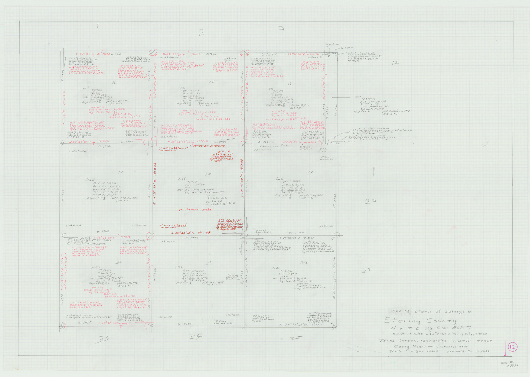
Sterling County Working Sketch 12
-
Map/Doc
63994
-
Collection
General Map Collection
-
Object Dates
1/27/1989 (Creation Date)
-
People and Organizations
Dan Felts, Jr. (Draftsman)
-
Counties
Sterling
-
Subjects
Surveying Working Sketch
-
Height x Width
26.0 x 36.5 inches
66.0 x 92.7 cm
-
Scale
1" = 300 varas
Part of: General Map Collection
Wichita County Rolled Sketch 7

Print $20.00
- Digital $50.00
Wichita County Rolled Sketch 7
Size 14.7 x 16.4 inches
Map/Doc 8244
New Map of the State of Texas Compiled from J. De Cordova's large Map

Print $20.00
- Digital $50.00
New Map of the State of Texas Compiled from J. De Cordova's large Map
1856
Size 17.8 x 27.4 inches
Map/Doc 89252
Hansford County

Print $20.00
- Digital $50.00
Hansford County
1889
Size 22.9 x 18.5 inches
Map/Doc 3624
Hamilton County Rolled Sketch 10

Print $20.00
- Digital $50.00
Hamilton County Rolled Sketch 10
1949
Size 22.2 x 27.5 inches
Map/Doc 6059
Collin County

Print $20.00
- Digital $50.00
Collin County
1975
Size 42.7 x 39.8 inches
Map/Doc 95459
Stonewall County Sketch File 25

Print $7.00
- Digital $50.00
Stonewall County Sketch File 25
1952
Size 26.7 x 43.3 inches
Map/Doc 10375


Lavaca County Working Sketch 21

Print $20.00
- Digital $50.00
Lavaca County Working Sketch 21
1982
Size 16.1 x 18.1 inches
Map/Doc 70374
Bosque County Working Sketch 25

Print $20.00
- Digital $50.00
Bosque County Working Sketch 25
1994
Size 36.6 x 47.9 inches
Map/Doc 67459
Cooke County Sketch File 46

Print $36.00
- Digital $50.00
Cooke County Sketch File 46
2002
Size 10.5 x 8.0 inches
Map/Doc 82578
Flight Mission No. CRK-8P, Frame 120, Refugio County

Print $20.00
- Digital $50.00
Flight Mission No. CRK-8P, Frame 120, Refugio County
1956
Size 18.4 x 22.1 inches
Map/Doc 86975
You may also like
Gaines County Working Sketch 25

Print $20.00
- Digital $50.00
Gaines County Working Sketch 25
1983
Size 37.5 x 38.4 inches
Map/Doc 69325
Harrison County Working Sketch 34

Print $20.00
- Digital $50.00
Harrison County Working Sketch 34
2015
Size 13.7 x 17.9 inches
Map/Doc 93726
Flight Mission No. BRE-2P, Frame 14, Nueces County

Print $20.00
- Digital $50.00
Flight Mission No. BRE-2P, Frame 14, Nueces County
1956
Size 18.5 x 22.6 inches
Map/Doc 86723
General Highway Map, Andrews County, Texas

Print $20.00
General Highway Map, Andrews County, Texas
1961
Size 25.2 x 18.2 inches
Map/Doc 79348
McLennan County Sketch File 42

Print $24.00
- Digital $50.00
McLennan County Sketch File 42
1868
Size 7.8 x 7.1 inches
Map/Doc 31331
Chambers County Sketch File 51

Print $35.00
- Digital $50.00
Chambers County Sketch File 51
1935
Size 14.3 x 9.0 inches
Map/Doc 18068
Wichita County Working Sketch 11

Print $20.00
- Digital $50.00
Wichita County Working Sketch 11
1920
Size 32.0 x 18.8 inches
Map/Doc 72520
Medina County Working Sketch 2

Print $20.00
- Digital $50.00
Medina County Working Sketch 2
1942
Size 30.3 x 31.0 inches
Map/Doc 70917
Kent County Rolled Sketch 3

Print $20.00
- Digital $50.00
Kent County Rolled Sketch 3
1950
Size 27.6 x 25.3 inches
Map/Doc 6474
Flight Mission No. CRC-2R, Frame 133, Chambers County

Print $20.00
- Digital $50.00
Flight Mission No. CRC-2R, Frame 133, Chambers County
1956
Size 18.7 x 22.5 inches
Map/Doc 84749
Cottle County Working Sketch 13

Print $20.00
- Digital $50.00
Cottle County Working Sketch 13
1960
Size 19.6 x 25.0 inches
Map/Doc 68323
Freestone County Working Sketch 25

Print $20.00
- Digital $50.00
Freestone County Working Sketch 25
1984
Size 43.5 x 38.4 inches
Map/Doc 69267