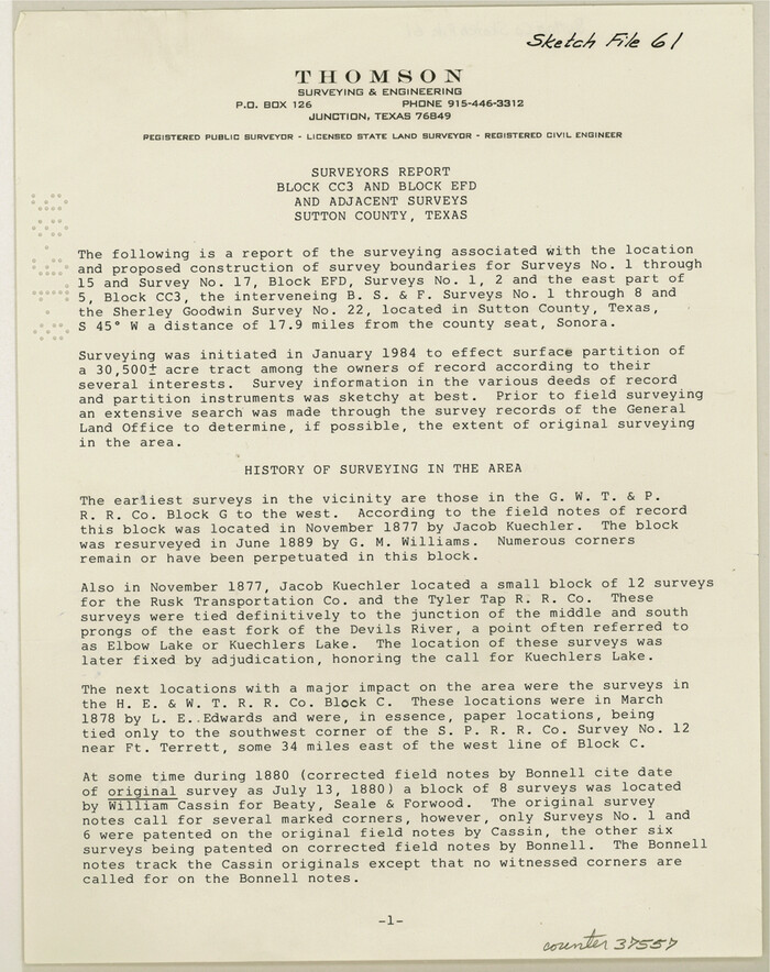
Sutton County Sketch File 61
1986

Edwards County Working Sketch 134
1986
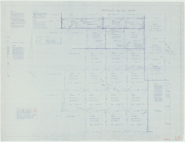
Sutton County Working Sketch 24
1985

Sutton County Working Sketch 22
1981

Sutton County Working Sketch 23
1981

Sutton County Working Sketch 21
1978
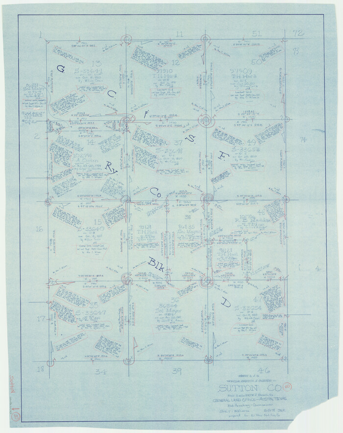
Sutton County Working Sketch 20
1978

Sutton County Working Sketch 19
1978
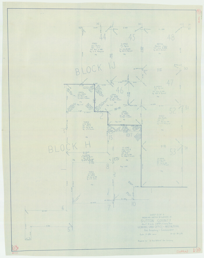
Sutton County Working Sketch 18
1978
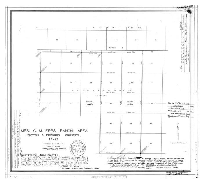
Sutton County Rolled Sketch 64
1975

Sutton County Working Sketch 17
1975
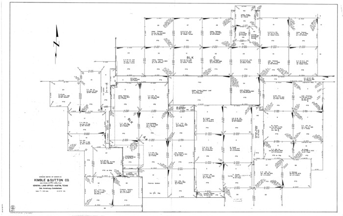
Kimble County Working Sketch 85
1972
Sutton County Working Sketch 16
1972

Sutton County Working Sketch 15
1972
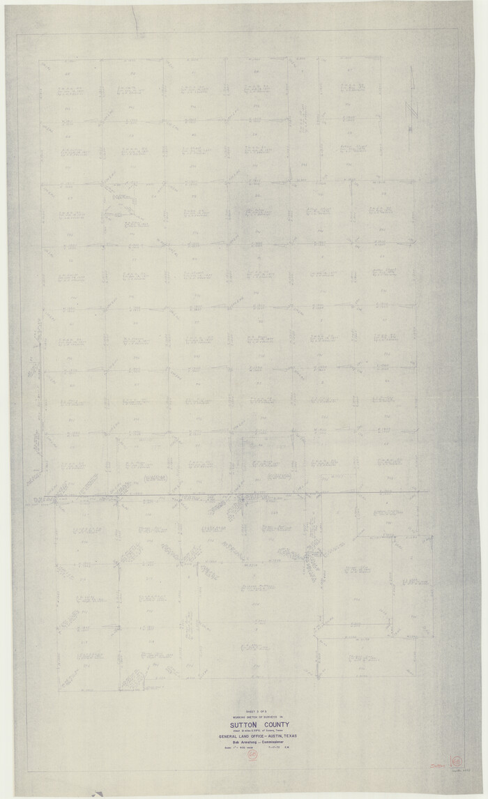
Sutton County Working Sketch 68
1972

Sutton County Working Sketch 14
1972

Sutton County Working Sketch 13
1972
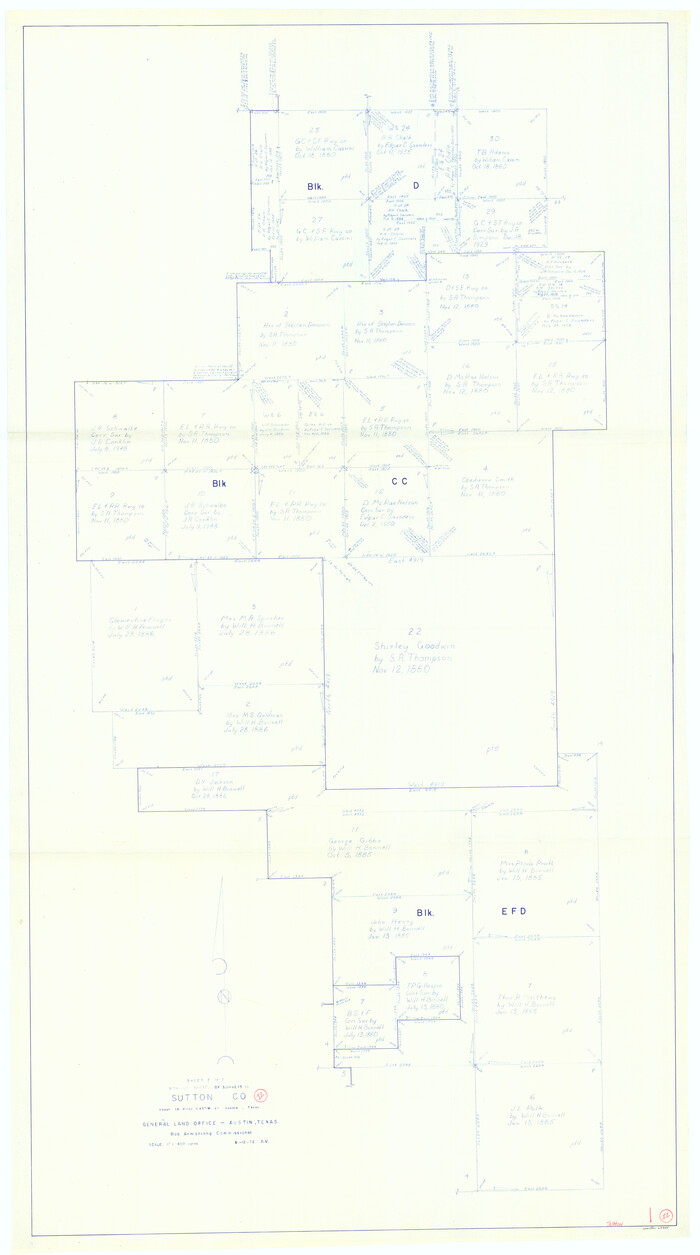
Sutton County Working Sketch 12
1972

Sutton County Working Sketch 11
1972

Sutton County Working Sketch 10
1972
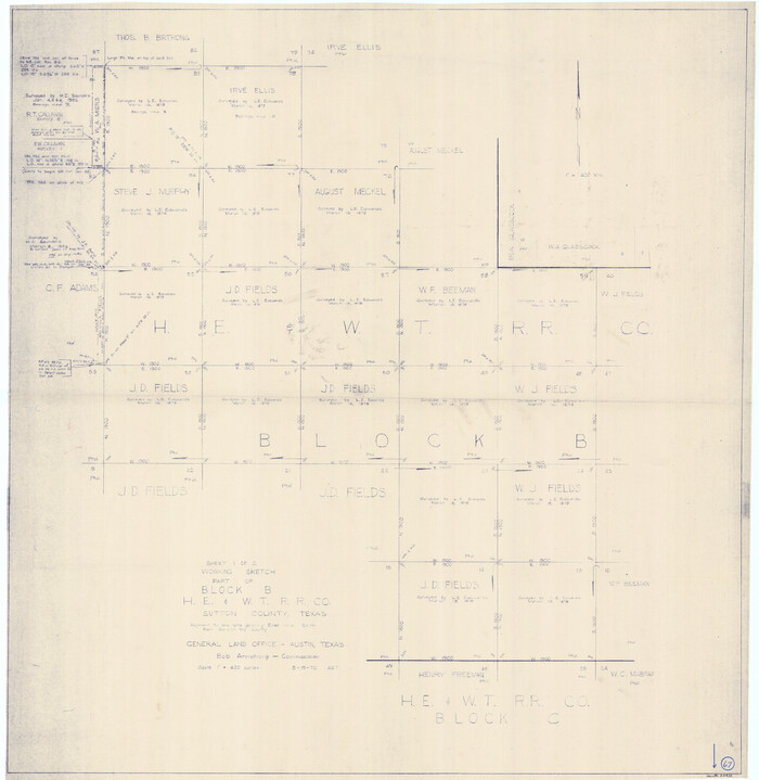
Sutton County Working Sketch 67
1972

Sutton County Working Sketch 66
1972
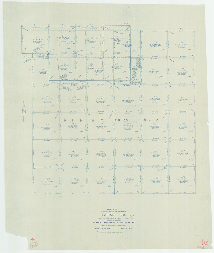
Sutton County Working Sketch 7
1972

Sutton County Working Sketch 9
1972

Sutton County Working Sketch 6
1972
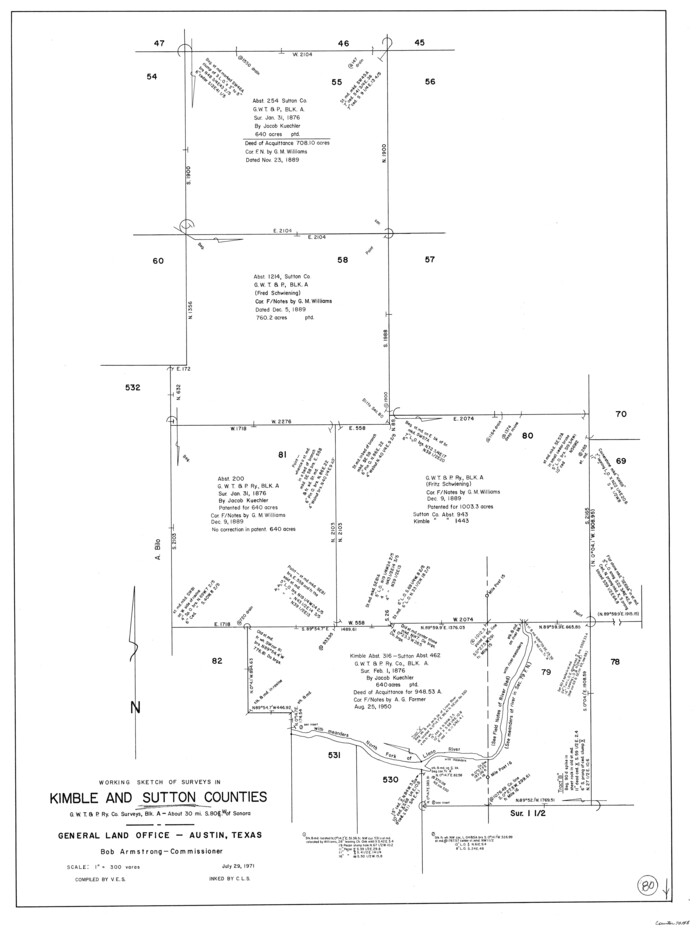
Kimble County Working Sketch 80
1971

Sutton County Working Sketch 5
1969
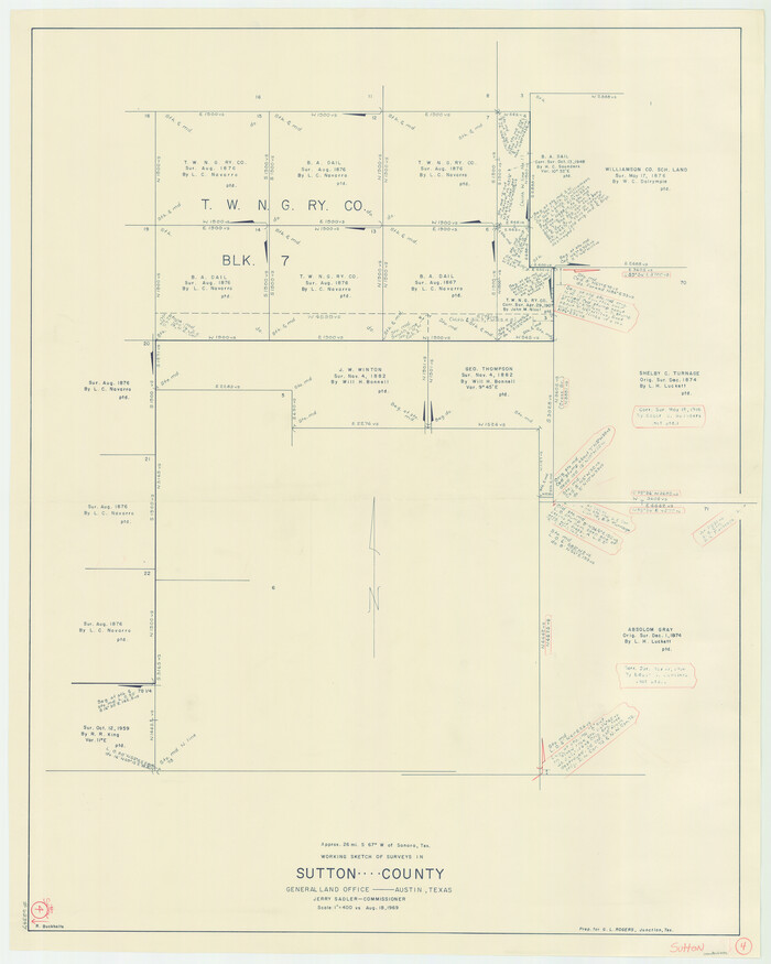
Sutton County Working Sketch 4
1969
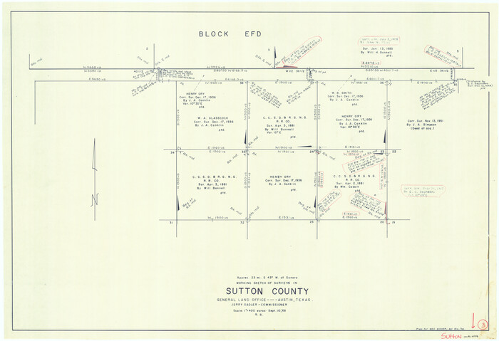
Sutton County Working Sketch 3
1968

Sutton County Working Sketch 2
1968

Sutton County Sketch File 61
1986
-
Size
11.2 x 8.9 inches
-
Map/Doc
37557
-
Creation Date
1986

Edwards County Working Sketch 134
1986
-
Size
29.4 x 54.2 inches
-
Map/Doc
69010
-
Creation Date
1986

Sutton County Working Sketch 24
1985
-
Size
32.6 x 42.5 inches
-
Map/Doc
62367
-
Creation Date
1985

Sutton County Working Sketch 22
1981
-
Size
33.7 x 33.4 inches
-
Map/Doc
62365
-
Creation Date
1981

Sutton County Working Sketch 23
1981
-
Size
17.3 x 27.1 inches
-
Map/Doc
62366
-
Creation Date
1981

Sutton County Working Sketch 21
1978
-
Size
22.3 x 26.1 inches
-
Map/Doc
62364
-
Creation Date
1978

Sutton County Working Sketch 20
1978
-
Size
34.5 x 27.4 inches
-
Map/Doc
62363
-
Creation Date
1978

Sutton County Working Sketch 19
1978
-
Size
37.7 x 39.0 inches
-
Map/Doc
62362
-
Creation Date
1978

Sutton County Working Sketch 18
1978
-
Size
39.9 x 31.5 inches
-
Map/Doc
62361
-
Creation Date
1978

Sutton County Rolled Sketch 64
1975
-
Size
17.9 x 19.6 inches
-
Map/Doc
7899
-
Creation Date
1975

Sutton County Working Sketch 17
1975
-
Size
34.0 x 27.2 inches
-
Map/Doc
62360
-
Creation Date
1975

Kimble County Working Sketch 85
1972
-
Size
35.7 x 56.8 inches
-
Map/Doc
70153
-
Creation Date
1972

Sutton County Working Sketch 16
1972
-
Size
30.9 x 67.6 inches
-
Map/Doc
62359
-
Creation Date
1972

Sutton County Working Sketch 15
1972
-
Size
37.0 x 81.1 inches
-
Map/Doc
62358
-
Creation Date
1972

Sutton County Working Sketch 68
1972
-
Size
61.2 x 37.4 inches
-
Map/Doc
62411
-
Creation Date
1972

Sutton County Working Sketch 14
1972
-
Size
59.5 x 36.8 inches
-
Map/Doc
62357
-
Creation Date
1972

Sutton County Working Sketch 13
1972
-
Size
58.8 x 37.0 inches
-
Map/Doc
62356
-
Creation Date
1972

Sutton County Working Sketch 12
1972
-
Size
66.8 x 37.3 inches
-
Map/Doc
62355
-
Creation Date
1972

Sutton County Working Sketch 11
1972
-
Size
76.8 x 45.5 inches
-
Map/Doc
62354
-
Creation Date
1972

Sutton County Working Sketch 10
1972
-
Size
71.0 x 42.9 inches
-
Map/Doc
62353
-
Creation Date
1972

Sutton County Working Sketch 67
1972
-
Size
37.7 x 36.7 inches
-
Map/Doc
62410
-
Creation Date
1972

Sutton County Working Sketch 66
1972
-
Size
29.0 x 39.3 inches
-
Map/Doc
62409
-
Creation Date
1972

Sutton County Working Sketch 7
1972
-
Size
44.4 x 37.5 inches
-
Map/Doc
62350
-
Creation Date
1972

Sutton County Working Sketch 9
1972
-
Size
41.8 x 38.1 inches
-
Map/Doc
62352
-
Creation Date
1972

Sutton County Working Sketch 6
1972
-
Size
39.3 x 37.4 inches
-
Map/Doc
62349
-
Creation Date
1972

Kimble County Working Sketch 80
1971
-
Size
32.3 x 24.3 inches
-
Map/Doc
70148
-
Creation Date
1971

Sutton County Working Sketch 5
1969
-
Size
25.4 x 33.4 inches
-
Map/Doc
62348
-
Creation Date
1969

Sutton County Working Sketch 4
1969
-
Size
40.3 x 32.2 inches
-
Map/Doc
62347
-
Creation Date
1969

Sutton County Working Sketch 3
1968
-
Size
23.6 x 34.5 inches
-
Map/Doc
62346
-
Creation Date
1968

Sutton County Working Sketch 2
1968
-
Size
31.2 x 29.3 inches
-
Map/Doc
62345
-
Creation Date
1968