231 results

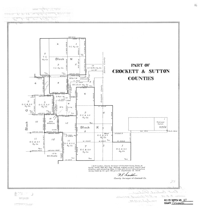
Crockett County Rolled Sketch 47
5596.tif
Print $20.00 - Digital $50.00

Crockett County Rolled Sketch 47

1939

Size: 22.2 x 21.1 inches
5596
Crockett County Rolled Sketch 64
5607.tif
Print $20.00 - Digital $50.00

Crockett County Rolled Sketch 64

1947
Size: 19.8 x 41.2 inches
5607
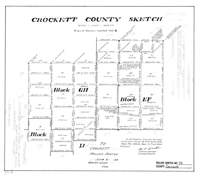
Crockett County Rolled Sketch 70
5612.tif
Print $20.00 - Digital $50.00

Crockett County Rolled Sketch 70

1949

Size: 15.1 x 17.0 inches
5612
Crockett County Rolled Sketch 77
5618.tif
Print $20.00 - Digital $50.00

Crockett County Rolled Sketch 77

1952

Size: 26.9 x 28.6 inches
5618
Crockett County Sketch File 10 and 11
19661, Crockett County Sketch File 10 and 11, General Map Collection
Print $8.00 - Digital $50.00

Crockett County Sketch File 10 and 11

Size: 12.6 x 7.3 inches
19661
Crockett County Sketch File 26
19706, Crockett County Sketch File 26, General Map Collection
Print $58.00 - Digital $50.00

Crockett County Sketch File 26

1880

Size: 8.7 x 7.2 inches
19706
Crockett County Sketch File 38
11220, Crockett County Sketch File 38, General Map Collection
Print $20.00 - Digital $50.00

Crockett County Sketch File 38

1887

Size: 20.8 x 30.3 inches
11220
Crockett County Sketch File 39
Print $20.00 - Digital $50.00

Crockett County Sketch File 39

1889

Size: 19.7 x 32.6 inches
11221
Crockett County Sketch File 4
19649, Crockett County Sketch File 4, General Map Collection
Print $6.00 - Digital $50.00

Crockett County Sketch File 4

Size: 6.4 x 5.2 inches
19649
Crockett County Sketch File 4a
11215, Crockett County Sketch File 4a, General Map Collection
Print $20.00 - Digital $50.00

Crockett County Sketch File 4a

Size: 28.1 x 8.2 inches
11215
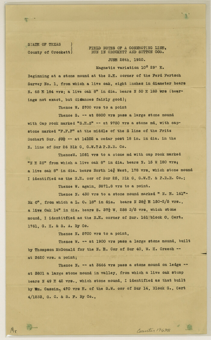
Crockett County Sketch File H
19638, Crockett County Sketch File H, General Map Collection
Print $26.00 - Digital $50.00

Crockett County Sketch File H

1920

Size: 14.4 x 9.0 inches
19638
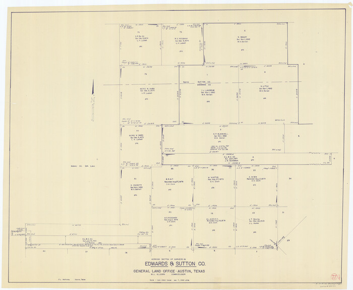
Edwards County Sketch File 14 1/2
11426, Edwards County Sketch File 14 1/2, General Map Collection
Print $20.00 - Digital $50.00

Edwards County Sketch File 14 1/2

1887
Size: 18.3 x 15.3 inches
11426
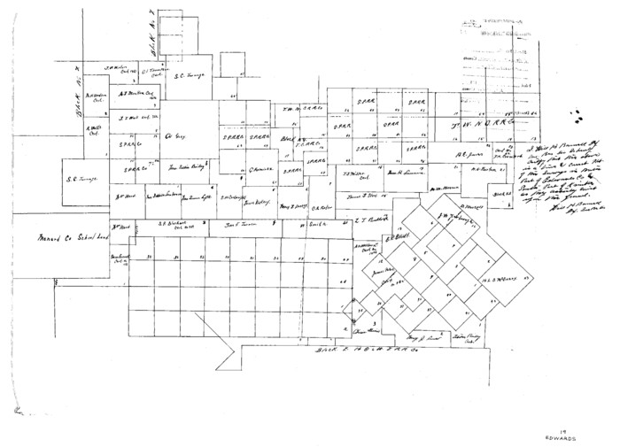
Edwards County Sketch File 19
11430, Edwards County Sketch File 19, General Map Collection
Print $20.00 - Digital $50.00

Edwards County Sketch File 19

Size: 17.1 x 23.7 inches
11430
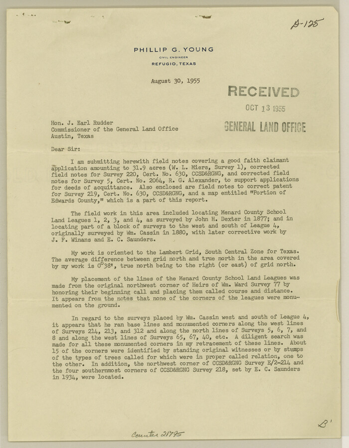
Edwards County Sketch File 47
21795, Edwards County Sketch File 47, General Map Collection
Print $24.00 - Digital $50.00

Edwards County Sketch File 47

1955

Size: 11.4 x 8.9 inches
21795
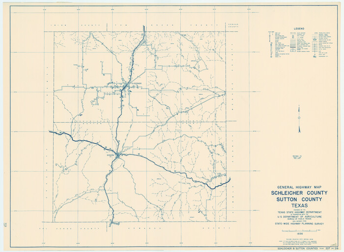
General Highway Map, Schleicher County, Sutton County, Texas
79239.tif
Print $20.00

General Highway Map, Schleicher County, Sutton County, Texas

1940

Size: 18.3 x 25.0 inches
79239
General Highway Map, Schleicher County, Sutton County, Texas
79649.tif
Print $20.00

General Highway Map, Schleicher County, Sutton County, Texas

1961

Size: 18.2 x 24.3 inches
79649
Kimble County Rolled Sketch 19
9339.tif
Print $20.00 - Digital $50.00

Kimble County Rolled Sketch 19

Size: 38.8 x 33.6 inches
9339
Kimble County Sketch File 1
28907, Kimble County Sketch File 1, General Map Collection
Print $4.00 - Digital $50.00

Kimble County Sketch File 1

1854

Size: 7.2 x 10.0 inches
28907
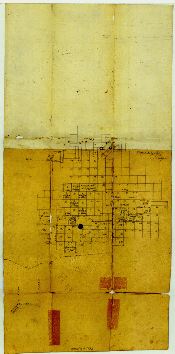
Kimble County Sketch File 11
28933, Kimble County Sketch File 11, General Map Collection
Print $40.00 - Digital $50.00

Kimble County Sketch File 11

1882

Size: 20.5 x 10.2 inches
28933
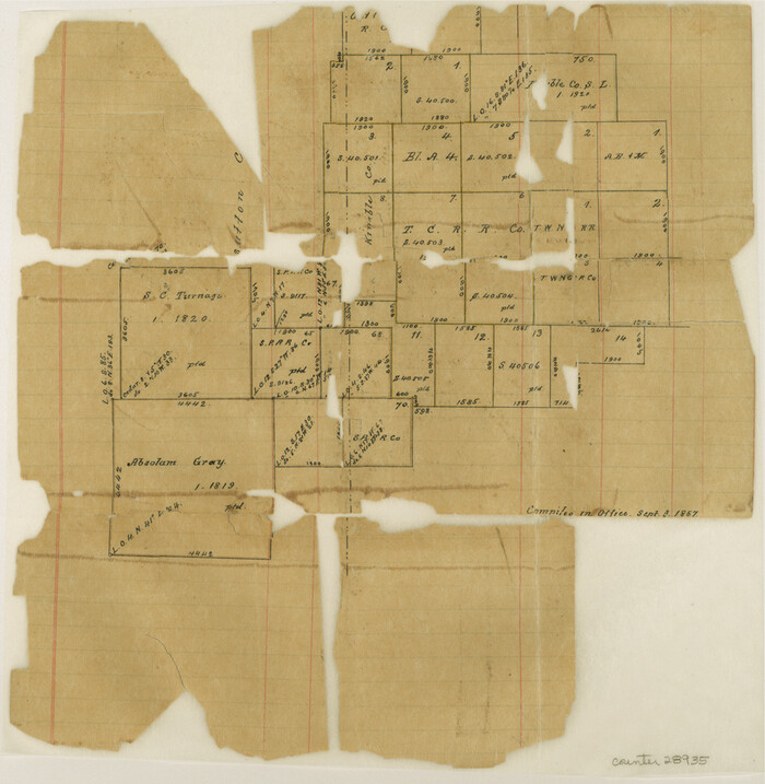
Kimble County Sketch File 12
28935, Kimble County Sketch File 12, General Map Collection
Print $5.00 - Digital $50.00

Kimble County Sketch File 12

Size: 10.7 x 10.5 inches
28935
Kimble County Sketch File 27
28971, Kimble County Sketch File 27, General Map Collection
Print $6.00 - Digital $50.00

Kimble County Sketch File 27

1913

Size: 11.4 x 9.7 inches
28971
Kimble County Sketch File 31
11929, Kimble County Sketch File 31, General Map Collection
Print $20.00 - Digital $50.00

Kimble County Sketch File 31

1890

Size: 26.0 x 24.3 inches
11929
Kimble County Sketch File 9a
28929, Kimble County Sketch File 9a, General Map Collection
Print $4.00 - Digital $50.00

Kimble County Sketch File 9a

Size: 12.4 x 9.2 inches
28929
Map of Sutton County
4061-1.tif
Print $20.00 - Digital $50.00

Map of Sutton County

1887

Size: 24.5 x 29.5 inches
4061
Menard County Rolled Sketch 6
6755.tif
Print $20.00 - Digital $50.00

Menard County Rolled Sketch 6

Size: 17.3 x 21.2 inches
6755
Schleicher County Rolled Sketch 3
8362.tif
Print $20.00 - Digital $50.00

Schleicher County Rolled Sketch 3

1890

Size: 41.5 x 31.2 inches
8362
Schleicher County Sketch File 13
36493, Schleicher County Sketch File 13, General Map Collection
Print $10.00 - Digital $50.00

Schleicher County Sketch File 13

1916

Size: 14.4 x 8.9 inches
36493
Schleicher County Sketch File 27
12305, Schleicher County Sketch File 27, General Map Collection
Print $20.00 - Digital $50.00

Schleicher County Sketch File 27

Size: 23.0 x 19.2 inches
12305
Schleicher County Sketch File 4
12296, Schleicher County Sketch File 4, General Map Collection
Print $20.00 - Digital $50.00

Schleicher County Sketch File 4

Size: 18.8 x 16.1 inches
12296
Schleicher County Sketch File 5
36470, Schleicher County Sketch File 5, General Map Collection
Print $40.00 - Digital $50.00

Schleicher County Sketch File 5

Size: 17.2 x 13.4 inches
36470
Crockett County Rolled Sketch 47
5596, Crockett County Rolled Sketch 47, General Map Collection
Print $20.00 - Digital $50.00

Crockett County Rolled Sketch 47

1939

  • Size

    22.2 x 21.1 inches

  • Map/Doc

    5596

  • Creation Date

    1939

Crockett County Rolled Sketch 64
5607, Crockett County Rolled Sketch 64, General Map Collection
Print $20.00 - Digital $50.00

Crockett County Rolled Sketch 64

1947

  • Size

    19.8 x 41.2 inches

  • Map/Doc

    5607

  • Creation Date

    1947

Crockett County Rolled Sketch 70
5612, Crockett County Rolled Sketch 70, General Map Collection
Print $20.00 - Digital $50.00

Crockett County Rolled Sketch 70

1949

  • Size

    15.1 x 17.0 inches

  • Map/Doc

    5612

  • Creation Date

    1949

Crockett County Rolled Sketch 77
5618, Crockett County Rolled Sketch 77, General Map Collection
Print $20.00 - Digital $50.00

Crockett County Rolled Sketch 77

1952

  • Size

    26.9 x 28.6 inches

  • Map/Doc

    5618

  • Creation Date

    1952

Crockett County Sketch File 10 and 11
19661, Crockett County Sketch File 10 and 11, General Map Collection
Print $8.00 - Digital $50.00

Crockett County Sketch File 10 and 11

  • Size

    12.6 x 7.3 inches

  • Map/Doc

    19661

Crockett County Sketch File 26
19706, Crockett County Sketch File 26, General Map Collection
Print $58.00 - Digital $50.00

Crockett County Sketch File 26

1880

  • Size

    8.7 x 7.2 inches

  • Map/Doc

    19706

  • Creation Date

    1880

Crockett County Sketch File 38
11220, Crockett County Sketch File 38, General Map Collection
Print $20.00 - Digital $50.00

Crockett County Sketch File 38

1887

  • Size

    20.8 x 30.3 inches

  • Map/Doc

    11220

  • Creation Date

    1887

Crockett County Sketch File 39
Print $20.00 - Digital $50.00

Crockett County Sketch File 39

1889

  • Size

    19.7 x 32.6 inches

  • Map/Doc

    11221

  • Creation Date

    1889

Crockett County Sketch File 4
19649, Crockett County Sketch File 4, General Map Collection
Print $6.00 - Digital $50.00

Crockett County Sketch File 4

  • Size

    6.4 x 5.2 inches

  • Map/Doc

    19649

Crockett County Sketch File 4a
11215, Crockett County Sketch File 4a, General Map Collection
Print $20.00 - Digital $50.00

Crockett County Sketch File 4a

  • Size

    28.1 x 8.2 inches

  • Map/Doc

    11215

Crockett County Sketch File H
19638, Crockett County Sketch File H, General Map Collection
Print $26.00 - Digital $50.00

Crockett County Sketch File H

1920

  • Size

    14.4 x 9.0 inches

  • Map/Doc

    19638

  • Creation Date

    1920

Edwards County Sketch File 14 1/2
11426, Edwards County Sketch File 14 1/2, General Map Collection
Print $20.00 - Digital $50.00

Edwards County Sketch File 14 1/2

1887

  • Size

    18.3 x 15.3 inches

  • Map/Doc

    11426

  • Creation Date

    1887

Edwards County Sketch File 19
11430, Edwards County Sketch File 19, General Map Collection
Print $20.00 - Digital $50.00

Edwards County Sketch File 19

  • Size

    17.1 x 23.7 inches

  • Map/Doc

    11430

Edwards County Sketch File 47
21795, Edwards County Sketch File 47, General Map Collection
Print $24.00 - Digital $50.00

Edwards County Sketch File 47

1955

  • Size

    11.4 x 8.9 inches

  • Map/Doc

    21795

  • Creation Date

    1955

General Highway Map, Schleicher County, Sutton County, Texas
79239, General Highway Map, Schleicher County, Sutton County, Texas, Texas State Library and Archives
Print $20.00

General Highway Map, Schleicher County, Sutton County, Texas

1940

  • Size

    18.3 x 25.0 inches

  • Map/Doc

    79239

  • Creation Date

    1940

General Highway Map, Schleicher County, Sutton County, Texas
79649, General Highway Map, Schleicher County, Sutton County, Texas, Texas State Library and Archives
Print $20.00

General Highway Map, Schleicher County, Sutton County, Texas

1961

  • Size

    18.2 x 24.3 inches

  • Map/Doc

    79649

  • Creation Date

    1961

Kimble County Rolled Sketch 19
9339, Kimble County Rolled Sketch 19, General Map Collection
Print $20.00 - Digital $50.00

Kimble County Rolled Sketch 19

  • Size

    38.8 x 33.6 inches

  • Map/Doc

    9339

Kimble County Sketch File 1
28907, Kimble County Sketch File 1, General Map Collection
Print $4.00 - Digital $50.00

Kimble County Sketch File 1

1854

  • Size

    7.2 x 10.0 inches

  • Map/Doc

    28907

  • Creation Date

    1854

Kimble County Sketch File 11
28933, Kimble County Sketch File 11, General Map Collection
Print $40.00 - Digital $50.00

Kimble County Sketch File 11

1882

  • Size

    20.5 x 10.2 inches

  • Map/Doc

    28933

  • Creation Date

    1882

Kimble County Sketch File 12
28935, Kimble County Sketch File 12, General Map Collection
Print $5.00 - Digital $50.00

Kimble County Sketch File 12

  • Size

    10.7 x 10.5 inches

  • Map/Doc

    28935

Kimble County Sketch File 27
28971, Kimble County Sketch File 27, General Map Collection
Print $6.00 - Digital $50.00

Kimble County Sketch File 27

1913

  • Size

    11.4 x 9.7 inches

  • Map/Doc

    28971

  • Creation Date

    1913

Kimble County Sketch File 31
11929, Kimble County Sketch File 31, General Map Collection
Print $20.00 - Digital $50.00

Kimble County Sketch File 31

1890

  • Size

    26.0 x 24.3 inches

  • Map/Doc

    11929

  • Creation Date

    1890

Kimble County Sketch File 9a
28929, Kimble County Sketch File 9a, General Map Collection
Print $4.00 - Digital $50.00

Kimble County Sketch File 9a

  • Size

    12.4 x 9.2 inches

  • Map/Doc

    28929

Map of Sutton County
4061, Map of Sutton County, General Map Collection
Print $20.00 - Digital $50.00

Map of Sutton County

1887

  • Size

    24.5 x 29.5 inches

  • Map/Doc

    4061

  • Creation Date

    1887

Menard County Rolled Sketch 6
6755, Menard County Rolled Sketch 6, General Map Collection
Print $20.00 - Digital $50.00

Menard County Rolled Sketch 6

  • Size

    17.3 x 21.2 inches

  • Map/Doc

    6755

Schleicher County Rolled Sketch 3
8362, Schleicher County Rolled Sketch 3, General Map Collection
Print $20.00 - Digital $50.00

Schleicher County Rolled Sketch 3

1890

  • Size

    41.5 x 31.2 inches

  • Map/Doc

    8362

  • Creation Date

    1890

Schleicher County Sketch File 13
36493, Schleicher County Sketch File 13, General Map Collection
Print $10.00 - Digital $50.00

Schleicher County Sketch File 13

1916

  • Size

    14.4 x 8.9 inches

  • Map/Doc

    36493

  • Creation Date

    1916

Schleicher County Sketch File 27
12305, Schleicher County Sketch File 27, General Map Collection
Print $20.00 - Digital $50.00

Schleicher County Sketch File 27

  • Size

    23.0 x 19.2 inches

  • Map/Doc

    12305

Schleicher County Sketch File 4
12296, Schleicher County Sketch File 4, General Map Collection
Print $20.00 - Digital $50.00

Schleicher County Sketch File 4

  • Size

    18.8 x 16.1 inches

  • Map/Doc

    12296

Schleicher County Sketch File 5
36470, Schleicher County Sketch File 5, General Map Collection
Print $40.00 - Digital $50.00

Schleicher County Sketch File 5

  • Size

    17.2 x 13.4 inches

  • Map/Doc

    36470