225 results

Tom Green County Rolled Sketch 12
10000.tif
Print $40.00 - Digital $50.00

Tom Green County Rolled Sketch 12

1951
Size: 51.0 x 42.5 inches
10000
Tom Green County Rolled Sketch 15
10002.tif
Print $20.00 - Digital $50.00

Tom Green County Rolled Sketch 15

Size: 38.7 x 43.1 inches
10002
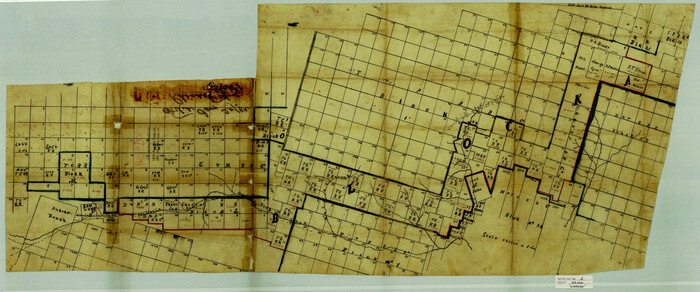
Tom Green County Rolled Sketch 12A
10003.tif
Print $40.00 - Digital $50.00

Tom Green County Rolled Sketch 12A

1951

Size: 50.4 x 42.9 inches
10003
Tom Green County Rolled Sketch 16
10004.tif
Print $20.00 - Digital $50.00

Tom Green County Rolled Sketch 16

1954

Size: 38.2 x 44.6 inches
10004
Tom Green County Rolled Sketch 17
10005.tif
Print $40.00 - Digital $50.00

Tom Green County Rolled Sketch 17

Size: 49.2 x 37.8 inches
10005
Tom Green County Rolled Sketch 22
10006.tif
Print $20.00 - Digital $50.00

Tom Green County Rolled Sketch 22

1966

Size: 38.0 x 43.6 inches
10006
Tom Green County Rolled Sketch 26
10007.tif
Print $40.00 - Digital $50.00

Tom Green County Rolled Sketch 26

Size: 40.0 x 48.3 inches
10007
Tom Green County Rolled Sketch 27
10008.tif
Print $20.00 - Digital $50.00

Tom Green County Rolled Sketch 27

Size: 36.1 x 45.4 inches
10008
Tom Green County Sketch File 3
10400, Tom Green County Sketch File 3, General Map Collection
Print $20.00 - Digital $50.00

Tom Green County Sketch File 3

Size: 29.7 x 40.5 inches
10400
Tom Green County Sketch File 46
10402, Tom Green County Sketch File 46, General Map Collection
Print $82.00 - Digital $50.00

Tom Green County Sketch File 46

1883

Size: 28.4 x 28.6 inches
10402
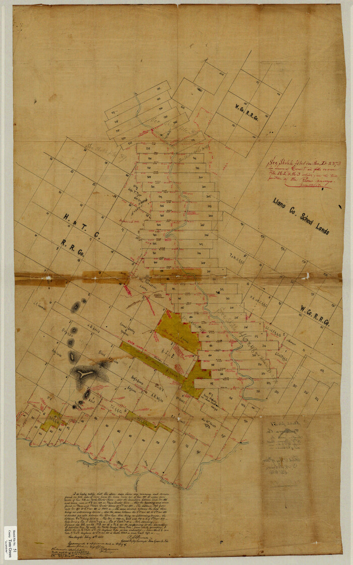
Tom Green County Sketch File 51
10403, Tom Green County Sketch File 51, General Map Collection
Print $20.00 - Digital $50.00

Tom Green County Sketch File 51

1884

Size: 44.0 x 27.5 inches
10403
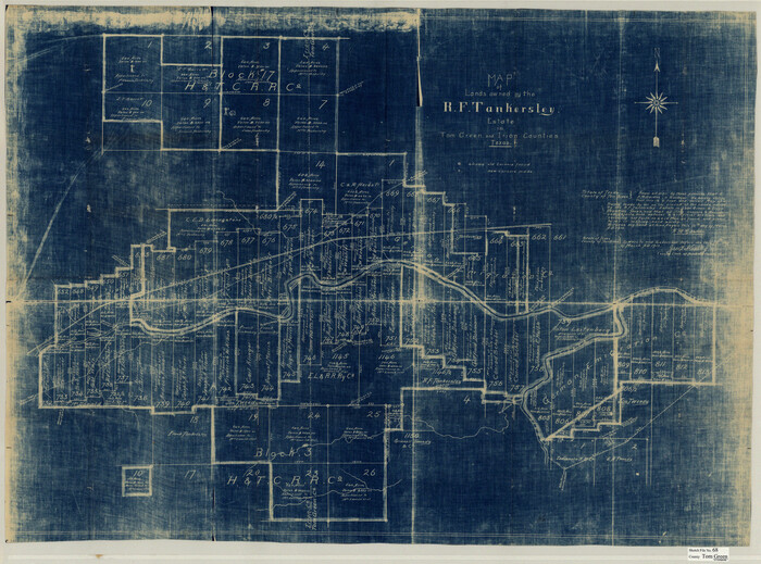
Tom Green County Sketch File 68
10406, Tom Green County Sketch File 68, General Map Collection
Print $20.00 - Digital $50.00

Tom Green County Sketch File 68

1913

Size: 30.8 x 41.5 inches
10406
Irion County Sketch File 1
10615, Irion County Sketch File 1, General Map Collection
Print $20.00 - Digital $50.00

Irion County Sketch File 1

1881

Size: 43.9 x 18.3 inches
10615
Coke County Sketch File 28
11113, Coke County Sketch File 28, General Map Collection
Print $20.00 - Digital $50.00

Coke County Sketch File 28

1886

Size: 36.4 x 26.5 inches
11113
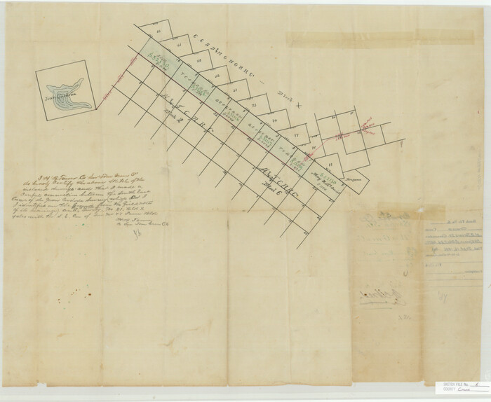
Concho County Sketch File 10
11150, Concho County Sketch File 10, General Map Collection
Print $20.00 - Digital $50.00

Concho County Sketch File 10

1887

Size: 23.1 x 33.8 inches
11150
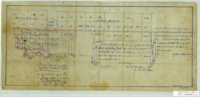
Concho County Sketch File 17
11152, Concho County Sketch File 17, General Map Collection
Print $20.00 - Digital $50.00

Concho County Sketch File 17

1896

Size: 10.2 x 20.9 inches
11152
Concho County Sketch File 22
11155, Concho County Sketch File 22, General Map Collection
Print $20.00 - Digital $50.00

Concho County Sketch File 22

Size: 24.9 x 18.1 inches
11155
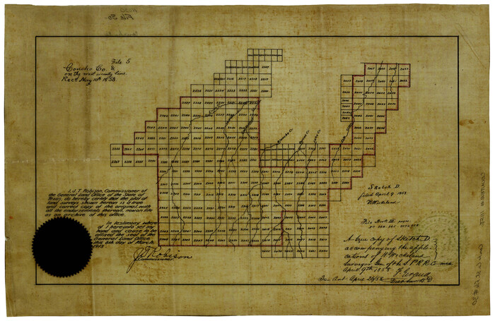
Concho County Sketch File 30
Print $20.00 - Digital $50.00

Concho County Sketch File 30

1858

Size: 13.8 x 20.4 inches
11156
Concho County Sketch File 32
11157, Concho County Sketch File 32, General Map Collection
Print $20.00 - Digital $50.00

Concho County Sketch File 32

Size: 29.6 x 26.7 inches
11157
Concho County Sketch File 37
11162, Concho County Sketch File 37, General Map Collection
Print $20.00 - Digital $50.00

Concho County Sketch File 37

1938

Size: 18.7 x 29.1 inches
11162
Concho County Sketch File 49
Print $20.00 - Digital $50.00

Concho County Sketch File 49

1889

Size: 30.7 x 19.3 inches
11166
Crane County Sketch File 6
11207, Crane County Sketch File 6, General Map Collection
Print $20.00 - Digital $50.00

Crane County Sketch File 6

Size: 18.7 x 22.8 inches
11207
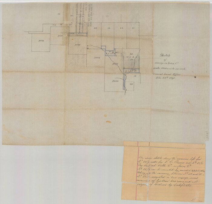
Irion County Sketch File 3
11823, Irion County Sketch File 3, General Map Collection
Print $20.00 - Digital $50.00

Irion County Sketch File 3

1891

Size: 22.4 x 22.1 inches
11823
Menard County Sketch File 24
12077, Menard County Sketch File 24, General Map Collection
Print $20.00 - Digital $50.00

Menard County Sketch File 24

1932

Size: 17.0 x 26.5 inches
12077
Schleicher County Sketch File 25
12304, Schleicher County Sketch File 25, General Map Collection
Print $20.00 - Digital $50.00

Schleicher County Sketch File 25

1937

Size: 24.1 x 17.5 inches
12304
Schleicher County Sketch File 29
12306, Schleicher County Sketch File 29, General Map Collection
Print $44.00 - Digital $50.00

Schleicher County Sketch File 29

1940

Size: 31.9 x 23.7 inches
12306
Sterling County Sketch File 12
12358, Sterling County Sketch File 12, General Map Collection
Print $20.00 - Digital $50.00

Sterling County Sketch File 12

1930

Size: 14.4 x 28.4 inches
12358
Tom Green County Sketch File 37a
12437, Tom Green County Sketch File 37a, General Map Collection
Print $24.00 - Digital $50.00

Tom Green County Sketch File 37a

1881

Size: 18.5 x 24.0 inches
12437
Tom Green County Sketch File 46 1/2
12440, Tom Green County Sketch File 46 1/2, General Map Collection
Print $40.00 - Digital $50.00

Tom Green County Sketch File 46 1/2

1882

Size: 12.7 x 19.6 inches
12440
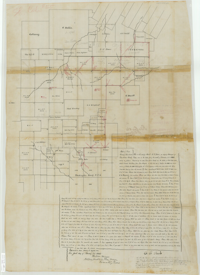
Tom Green County Sketch File 55 1/2
12443, Tom Green County Sketch File 55 1/2, General Map Collection
Print $20.00 - Digital $50.00

Tom Green County Sketch File 55 1/2

1886

Size: 26.4 x 13.6 inches
12443
Tom Green County Rolled Sketch 12
10000, Tom Green County Rolled Sketch 12, General Map Collection
Print $40.00 - Digital $50.00

Tom Green County Rolled Sketch 12

1951

  • Size

    51.0 x 42.5 inches

  • Map/Doc

    10000

  • Creation Date

    1951

Tom Green County Rolled Sketch 15
10002, Tom Green County Rolled Sketch 15, General Map Collection
Print $20.00 - Digital $50.00

Tom Green County Rolled Sketch 15

  • Size

    38.7 x 43.1 inches

  • Map/Doc

    10002

Tom Green County Rolled Sketch 12A
10003, Tom Green County Rolled Sketch 12A, General Map Collection
Print $40.00 - Digital $50.00

Tom Green County Rolled Sketch 12A

1951
  • Size

    50.4 x 42.9 inches

  • Map/Doc

    10003

  • Creation Date

    1951

Tom Green County Rolled Sketch 16
10004, Tom Green County Rolled Sketch 16, General Map Collection
Print $20.00 - Digital $50.00

Tom Green County Rolled Sketch 16

1954
  • Size

    38.2 x 44.6 inches

  • Map/Doc

    10004

  • Creation Date

    1954

Tom Green County Rolled Sketch 17
10005, Tom Green County Rolled Sketch 17, General Map Collection
Print $40.00 - Digital $50.00

Tom Green County Rolled Sketch 17

  • Size

    49.2 x 37.8 inches

  • Map/Doc

    10005

Tom Green County Rolled Sketch 22
10006, Tom Green County Rolled Sketch 22, General Map Collection
Print $20.00 - Digital $50.00

Tom Green County Rolled Sketch 22

1966

  • Size

    38.0 x 43.6 inches

  • Map/Doc

    10006

  • Creation Date

    1966

Tom Green County Rolled Sketch 26
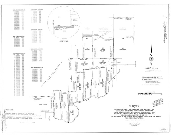
10007, Tom Green County Rolled Sketch 26, General Map Collection
Print $40.00 - Digital $50.00

Tom Green County Rolled Sketch 26

  • Size

    40.0 x 48.3 inches

  • Map/Doc

    10007

Tom Green County Rolled Sketch 27
10008, Tom Green County Rolled Sketch 27, General Map Collection
Print $20.00 - Digital $50.00

Tom Green County Rolled Sketch 27

  • Size

    36.1 x 45.4 inches

  • Map/Doc

    10008

Tom Green County Sketch File 3
10400, Tom Green County Sketch File 3, General Map Collection
Print $20.00 - Digital $50.00

Tom Green County Sketch File 3

  • Size

    29.7 x 40.5 inches

  • Map/Doc

    10400

Tom Green County Sketch File 46
10402, Tom Green County Sketch File 46, General Map Collection
Print $82.00 - Digital $50.00

Tom Green County Sketch File 46

1883

  • Size

    28.4 x 28.6 inches

  • Map/Doc

    10402

  • Creation Date

    1883

Tom Green County Sketch File 51
10403, Tom Green County Sketch File 51, General Map Collection
Print $20.00 - Digital $50.00

Tom Green County Sketch File 51

1884

  • Size

    44.0 x 27.5 inches

  • Map/Doc

    10403

  • Creation Date

    1884

Tom Green County Sketch File 68
10406, Tom Green County Sketch File 68, General Map Collection
Print $20.00 - Digital $50.00

Tom Green County Sketch File 68

1913

  • Size

    30.8 x 41.5 inches

  • Map/Doc

    10406

  • Creation Date

    1913

Irion County Sketch File 1
10615, Irion County Sketch File 1, General Map Collection
Print $20.00 - Digital $50.00

Irion County Sketch File 1

1881

  • Size

    43.9 x 18.3 inches

  • Map/Doc

    10615

  • Creation Date

    1881

Coke County Sketch File 28
11113, Coke County Sketch File 28, General Map Collection
Print $20.00 - Digital $50.00

Coke County Sketch File 28

1886

  • Size

    36.4 x 26.5 inches

  • Map/Doc

    11113

  • Creation Date

    1886

Concho County Sketch File 10
11150, Concho County Sketch File 10, General Map Collection
Print $20.00 - Digital $50.00

Concho County Sketch File 10

1887

  • Size

    23.1 x 33.8 inches

  • Map/Doc

    11150

  • Creation Date

    1887

Concho County Sketch File 17
11152, Concho County Sketch File 17, General Map Collection
Print $20.00 - Digital $50.00

Concho County Sketch File 17

1896

  • Size

    10.2 x 20.9 inches

  • Map/Doc

    11152

  • Creation Date

    1896

Concho County Sketch File 22
11155, Concho County Sketch File 22, General Map Collection
Print $20.00 - Digital $50.00

Concho County Sketch File 22

  • Size

    24.9 x 18.1 inches

  • Map/Doc

    11155

Concho County Sketch File 30
Print $20.00 - Digital $50.00

Concho County Sketch File 30

1858

  • Size

    13.8 x 20.4 inches

  • Map/Doc

    11156

  • Creation Date

    1858

Concho County Sketch File 32
11157, Concho County Sketch File 32, General Map Collection
Print $20.00 - Digital $50.00

Concho County Sketch File 32

  • Size

    29.6 x 26.7 inches

  • Map/Doc

    11157

Concho County Sketch File 37
11162, Concho County Sketch File 37, General Map Collection
Print $20.00 - Digital $50.00

Concho County Sketch File 37

1938

  • Size

    18.7 x 29.1 inches

  • Map/Doc

    11162

  • Creation Date

    1938

Concho County Sketch File 49
Print $20.00 - Digital $50.00

Concho County Sketch File 49

1889

  • Size

    30.7 x 19.3 inches

  • Map/Doc

    11166

  • Creation Date

    1889

Crane County Sketch File 6
11207, Crane County Sketch File 6, General Map Collection
Print $20.00 - Digital $50.00

Crane County Sketch File 6

  • Size

    18.7 x 22.8 inches

  • Map/Doc

    11207

Irion County Sketch File 3
11823, Irion County Sketch File 3, General Map Collection
Print $20.00 - Digital $50.00

Irion County Sketch File 3

1891

  • Size

    22.4 x 22.1 inches

  • Map/Doc

    11823

  • Creation Date

    1891

Menard County Sketch File 24
12077, Menard County Sketch File 24, General Map Collection
Print $20.00 - Digital $50.00

Menard County Sketch File 24

1932

  • Size

    17.0 x 26.5 inches

  • Map/Doc

    12077

  • Creation Date

    1932

Schleicher County Sketch File 25
12304, Schleicher County Sketch File 25, General Map Collection
Print $20.00 - Digital $50.00

Schleicher County Sketch File 25

1937
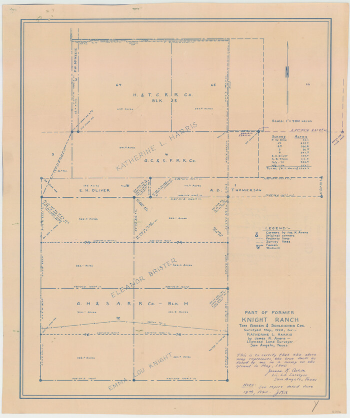
  • Size

    24.1 x 17.5 inches

  • Map/Doc

    12304

  • Creation Date

    1937

Schleicher County Sketch File 29
12306, Schleicher County Sketch File 29, General Map Collection
Print $44.00 - Digital $50.00

Schleicher County Sketch File 29

1940
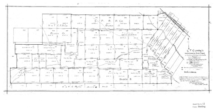
  • Size

    31.9 x 23.7 inches

  • Map/Doc

    12306

  • Creation Date

    1940

Sterling County Sketch File 12
12358, Sterling County Sketch File 12, General Map Collection
Print $20.00 - Digital $50.00

Sterling County Sketch File 12

1930

  • Size

    14.4 x 28.4 inches

  • Map/Doc

    12358

  • Creation Date

    1930

Tom Green County Sketch File 37a
12437, Tom Green County Sketch File 37a, General Map Collection
Print $24.00 - Digital $50.00

Tom Green County Sketch File 37a

1881

  • Size

    18.5 x 24.0 inches

  • Map/Doc

    12437

  • Creation Date

    1881

Tom Green County Sketch File 46 1/2
12440, Tom Green County Sketch File 46 1/2, General Map Collection
Print $40.00 - Digital $50.00

Tom Green County Sketch File 46 1/2

1882
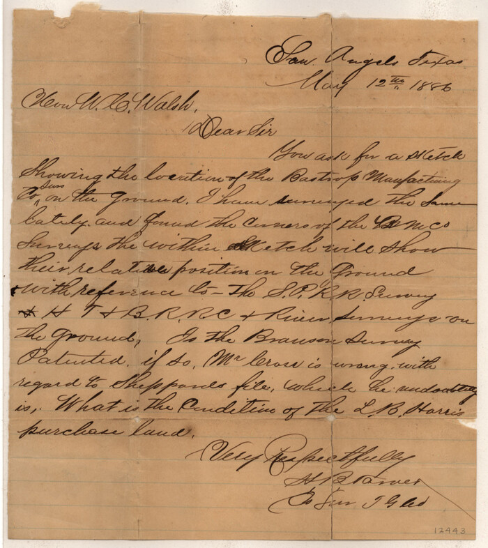
  • Size

    12.7 x 19.6 inches

  • Map/Doc

    12440

  • Creation Date

    1882

Tom Green County Sketch File 55 1/2
12443, Tom Green County Sketch File 55 1/2, General Map Collection
Print $20.00 - Digital $50.00

Tom Green County Sketch File 55 1/2

1886

  • Size

    26.4 x 13.6 inches

  • Map/Doc

    12443

  • Creation Date

    1886