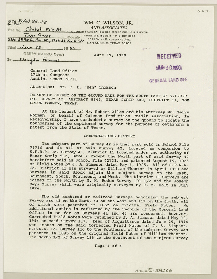
Tom Green County Sketch File 88
1990
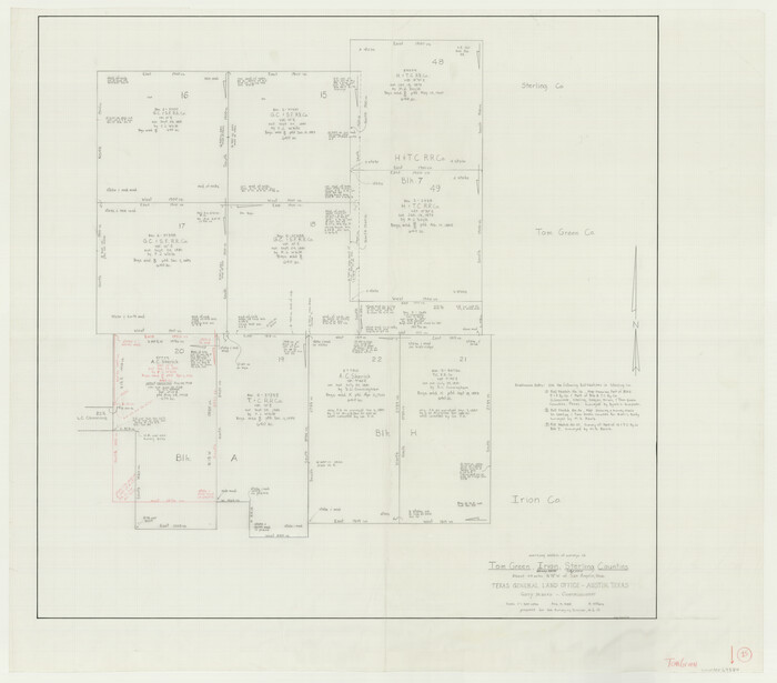
Tom Green County Working Sketch 15
1988

Tom Green County Sketch File 86
1986
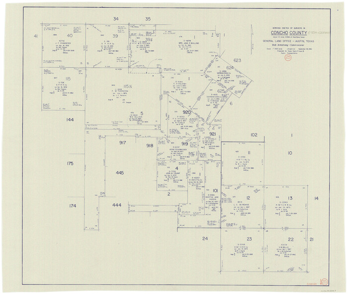
Concho County Working Sketch 25
1982
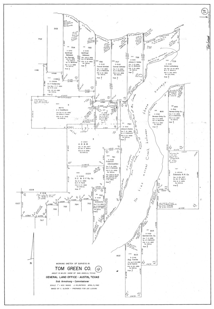
Tom Green County Working Sketch 14
1982

Tom Green County Working Sketch 13
1981
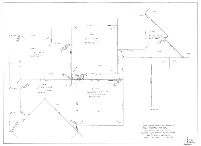
Tom Green County Working Sketch 12
1975

Concho County Rolled Sketch 22
1971

Tom Green County Sketch File 79A
1970
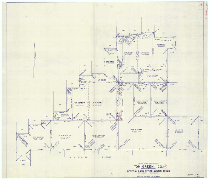
Tom Green County Working Sketch 11
1968

Tom Green County Rolled Sketch 22
1966

Tom Green County Sketch File 80
1962

General Highway Map, Tom Green County, Texas
1961
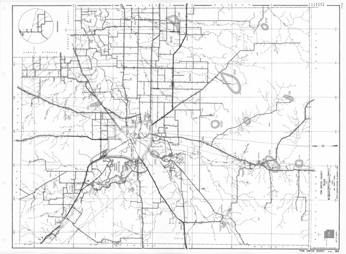
General Highway Map, Tom Green County, Texas
1961

General Highway Map. Detail of Cities and Towns in Tom Green County, Texas. City Map, San Angelo, Tom Green County, Texas
1961
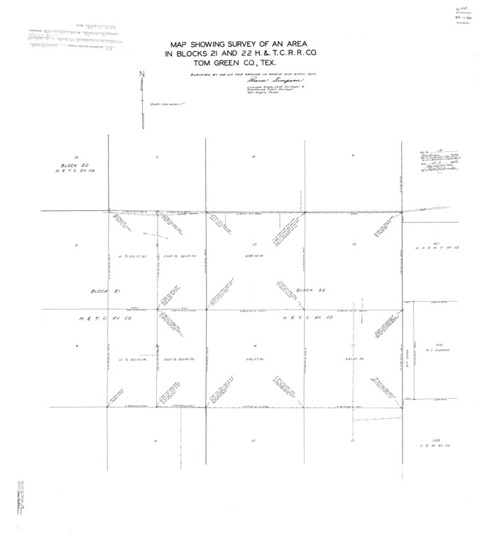
Tom Green County Rolled Sketch 19
1959
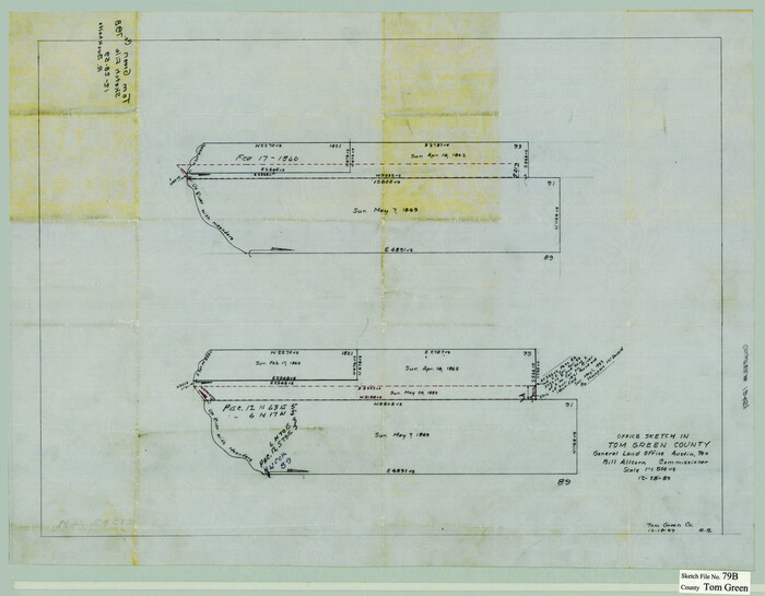
Tom Green County Sketch File 79B
1959
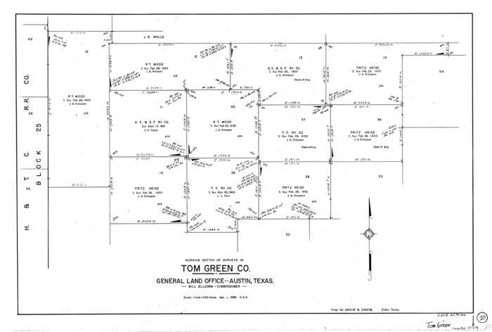
Tom Green County Working Sketch 10
1959
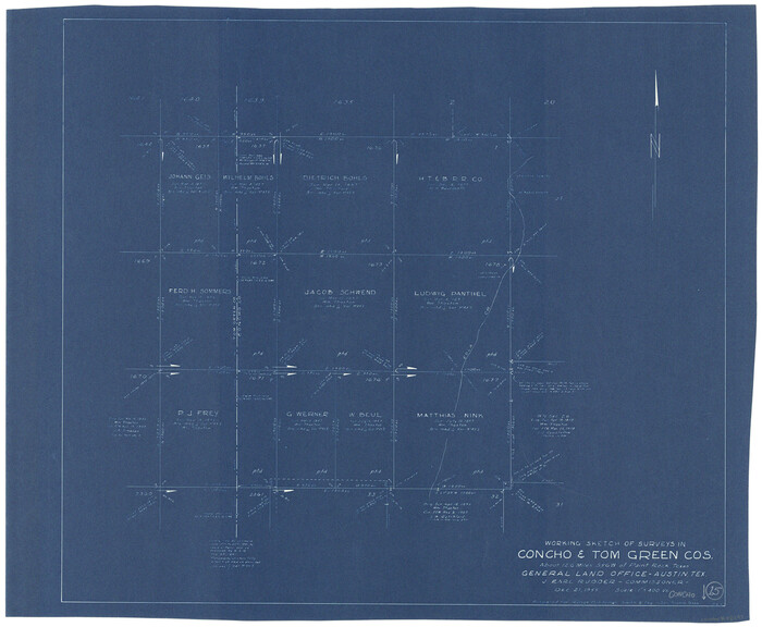
Concho County Working Sketch 15
1955
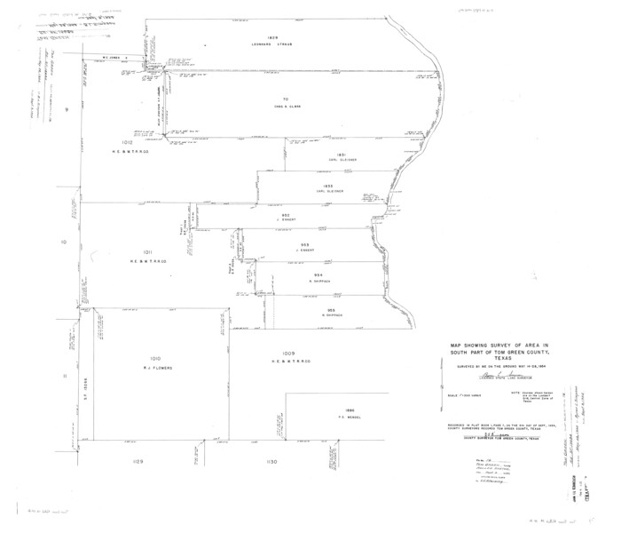
Tom Green County Rolled Sketch 16
1954

Tom Green County Rolled Sketch 14
1953
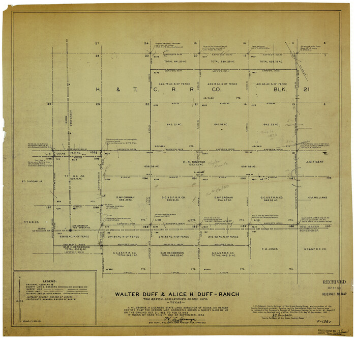
Tom Green County Rolled Sketch 14
1953

Coke County Rolled Sketch 17
1953
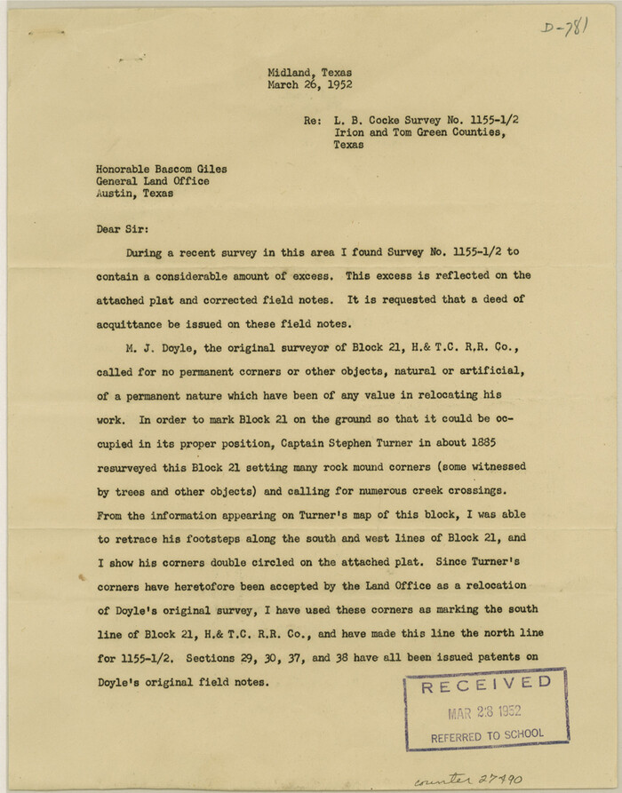
Irion County Sketch File 16
1952
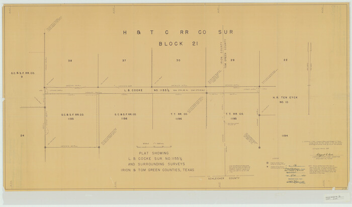
Irion County Rolled Sketch 16
1952

Reagan County Rolled Sketch 26
1951
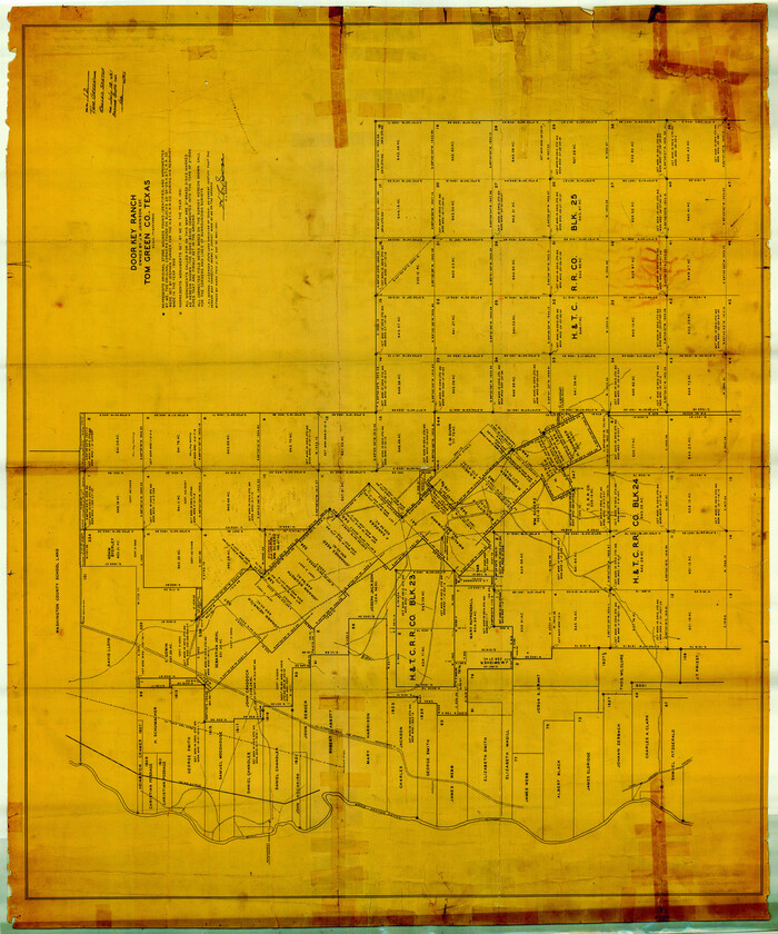
Tom Green County Rolled Sketch 12
1951

Sterling County Rolled Sketch 16
1951

Tom Green County Working Sketch 9
1951

Tom Green County Rolled Sketch 12A
1951

Tom Green County Sketch File 88
1990
-
Size
11.5 x 8.9 inches
-
Map/Doc
38266
-
Creation Date
1990

Tom Green County Working Sketch 15
1988
-
Size
32.9 x 37.5 inches
-
Map/Doc
69384
-
Creation Date
1988

Tom Green County Sketch File 86
1986
-
Size
14.2 x 8.9 inches
-
Map/Doc
38260
-
Creation Date
1986

Concho County Working Sketch 25
1982
-
Size
32.3 x 38.1 inches
-
Map/Doc
68207
-
Creation Date
1982

Tom Green County Working Sketch 14
1982
-
Size
32.7 x 22.7 inches
-
Map/Doc
69383
-
Creation Date
1982

Tom Green County Working Sketch 13
1981
-
Size
34.3 x 26.4 inches
-
Map/Doc
69382
-
Creation Date
1981

Tom Green County Working Sketch 12
1975
-
Size
30.0 x 41.1 inches
-
Map/Doc
69381
-
Creation Date
1975

Concho County Rolled Sketch 22
1971
-
Size
24.6 x 28.8 inches
-
Map/Doc
5555
-
Creation Date
1971

Tom Green County Sketch File 79A
1970
-
Size
14.5 x 8.8 inches
-
Map/Doc
38258
-
Creation Date
1970

Tom Green County Working Sketch 11
1968
-
Size
33.9 x 39.2 inches
-
Map/Doc
69380
-
Creation Date
1968

Tom Green County Rolled Sketch 22
1966
-
Size
38.0 x 43.6 inches
-
Map/Doc
10006
-
Creation Date
1966

Tom Green County Sketch File 80
1962
-
Size
20.6 x 35.6 inches
-
Map/Doc
12452
-
Creation Date
1962

General Highway Map, Tom Green County, Texas
1961
-
Size
25.0 x 18.1 inches
-
Map/Doc
79677
-
Creation Date
1961

General Highway Map, Tom Green County, Texas
1961
-
Size
18.4 x 25.0 inches
-
Map/Doc
79678
-
Creation Date
1961

General Highway Map. Detail of Cities and Towns in Tom Green County, Texas. City Map, San Angelo, Tom Green County, Texas
1961
-
Size
18.1 x 24.8 inches
-
Map/Doc
79679
-
Creation Date
1961

Tom Green County Rolled Sketch 19
1959
-
Size
35.0 x 32.1 inches
-
Map/Doc
8002
-
Creation Date
1959

Tom Green County Sketch File 79B
1959
-
Size
18.5 x 23.8 inches
-
Map/Doc
12451
-
Creation Date
1959

Tom Green County Working Sketch 10
1959
-
Size
22.0 x 32.7 inches
-
Map/Doc
69379
-
Creation Date
1959

Concho County Working Sketch 15
1955
-
Size
25.2 x 30.8 inches
-
Map/Doc
68197
-
Creation Date
1955

Tom Green County Rolled Sketch 16
1954
-
Size
38.2 x 44.6 inches
-
Map/Doc
10004
-
Creation Date
1954

Tom Green County Rolled Sketch 14
1953
-
Size
28.3 x 30.9 inches
-
Map/Doc
7999
-
Creation Date
1953

Tom Green County Rolled Sketch 14
1953
-
Size
26.7 x 28.4 inches
-
Map/Doc
8000
-
Creation Date
1953

Coke County Rolled Sketch 17
1953
-
Size
36.1 x 45.2 inches
-
Map/Doc
8631
-
Creation Date
1953

Irion County Sketch File 16
1952
-
Size
11.1 x 8.7 inches
-
Map/Doc
27490
-
Creation Date
1952

Irion County Rolled Sketch 16
1952
-
Size
24.4 x 41.6 inches
-
Map/Doc
6325
-
Creation Date
1952

Reagan County Rolled Sketch 26
1951
-
Size
32.7 x 42.7 inches
-
Map/Doc
9820
-
Creation Date
1951

Tom Green County Rolled Sketch 12
1951
-
Size
51.0 x 42.5 inches
-
Map/Doc
10000
-
Creation Date
1951

Sterling County Rolled Sketch 16
1951
-
Size
73.6 x 43.0 inches
-
Map/Doc
9948
-
Creation Date
1951

Tom Green County Working Sketch 9
1951
-
Size
31.3 x 42.2 inches
-
Map/Doc
69378
-
Creation Date
1951

Tom Green County Rolled Sketch 12A
1951
-
Size
42.9 x 50.4 inches
-
Map/Doc
10003
-
Creation Date
1951