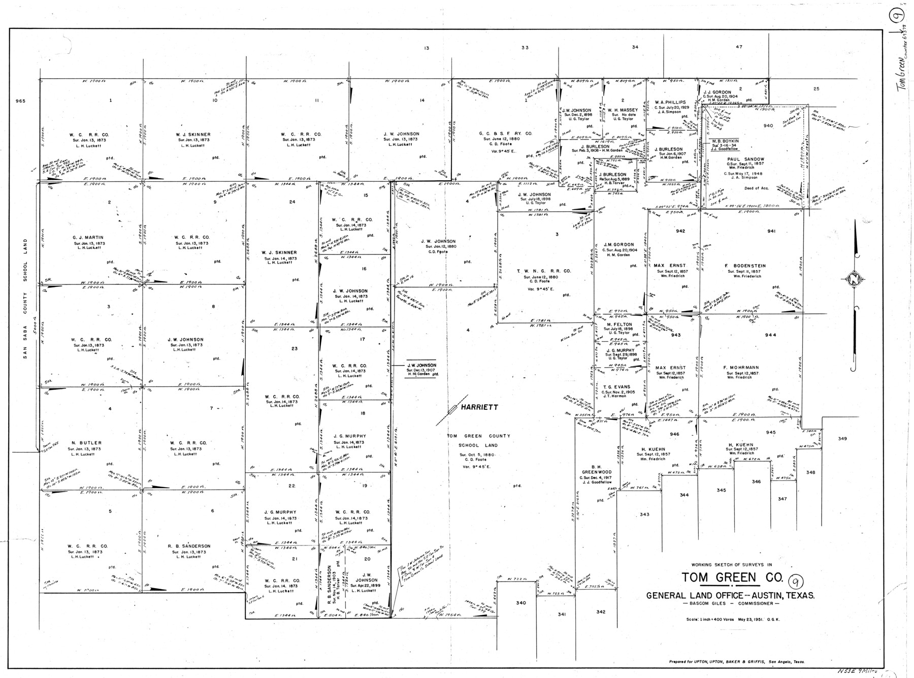
Tom Green County Working Sketch 9
-
Map/Doc
69378
-
Collection
General Map Collection
-
Object Dates
5/23/1951 (Creation Date)
-
People and Organizations
Otto G. Kurio (Draftsman)
-
Counties
Tom Green
-
Subjects
Surveying Working Sketch
-
Height x Width
31.3 x 42.2 inches
79.5 x 107.2 cm
-
Scale
1" = 400 varas
Part of: General Map Collection

Eastland County Working Sketch 26

Print $20.00
- Digital $50.00
Eastland County Working Sketch 26
1948
Size 21.4 x 19.0 inches
Map/Doc 68807
Illinois, Missouri, Iowa, Wisconsin and Minnesota

Print $20.00
- Digital $50.00
Illinois, Missouri, Iowa, Wisconsin and Minnesota
1885
Size 12.2 x 9.0 inches
Map/Doc 93521
Reeves County Sketch File 6

Print $20.00
- Digital $50.00
Reeves County Sketch File 6
Size 17.3 x 28.3 inches
Map/Doc 12242
Foard County Sketch File 15

Print $8.00
- Digital $50.00
Foard County Sketch File 15
1883
Size 13.0 x 8.5 inches
Map/Doc 22821
North East Corner of Lamar County

Print $3.00
- Digital $50.00
North East Corner of Lamar County
Size 10.7 x 15.4 inches
Map/Doc 291
Map of Houston Heights, Harris County, Texas owned by the Omaha & South Texas Land Co., Houston, Texas

Print $20.00
- Digital $50.00
Map of Houston Heights, Harris County, Texas owned by the Omaha & South Texas Land Co., Houston, Texas
1891
Size 16.3 x 10.7 inches
Map/Doc 94458
Flight Mission No. DAG-23K, Frame 171, Matagorda County

Print $20.00
- Digital $50.00
Flight Mission No. DAG-23K, Frame 171, Matagorda County
1953
Size 18.6 x 22.4 inches
Map/Doc 86509
Eastland County Working Sketch 20

Print $20.00
- Digital $50.00
Eastland County Working Sketch 20
1920
Size 38.0 x 23.5 inches
Map/Doc 68801
Pecos County Working Sketch 78

Print $20.00
- Digital $50.00
Pecos County Working Sketch 78
1960
Size 29.4 x 34.4 inches
Map/Doc 71550
Flight Mission No. DQO-1K, Frame 152, Galveston County

Print $20.00
- Digital $50.00
Flight Mission No. DQO-1K, Frame 152, Galveston County
1952
Size 18.9 x 22.5 inches
Map/Doc 85005
Cherokee County Sketch File 2

Print $6.00
- Digital $50.00
Cherokee County Sketch File 2
1857
Size 8.2 x 7.9 inches
Map/Doc 18112
You may also like
Hardeman County Working Sketch 16

Print $20.00
- Digital $50.00
Hardeman County Working Sketch 16
1982
Size 35.7 x 45.1 inches
Map/Doc 63397
Supreme Court of the United States, October Term, 1924, No. 13, Original - The State of Oklahoma, Complainant vs. The State of Texas, Defendant, The United States, Intervener

Print $20.00
- Digital $50.00
Supreme Court of the United States, October Term, 1924, No. 13, Original - The State of Oklahoma, Complainant vs. The State of Texas, Defendant, The United States, Intervener
1924
Size 18.6 x 33.7 inches
Map/Doc 75118
Garza County Sketch File H

Print $20.00
- Digital $50.00
Garza County Sketch File H
Size 43.1 x 38.7 inches
Map/Doc 10472
Flight Mission No. DAG-24K, Frame 160, Matagorda County

Print $20.00
- Digital $50.00
Flight Mission No. DAG-24K, Frame 160, Matagorda County
1953
Size 18.6 x 22.5 inches
Map/Doc 86574
Leon County Working Sketch 45

Print $20.00
- Digital $50.00
Leon County Working Sketch 45
1980
Size 45.4 x 37.4 inches
Map/Doc 70444
Harris County Sketch File 59

Print $32.00
- Digital $50.00
Harris County Sketch File 59
1921
Size 14.3 x 9.0 inches
Map/Doc 25480
McMullen County Boundary File 7

Print $5.00
- Digital $50.00
McMullen County Boundary File 7
Size 7.2 x 17.0 inches
Map/Doc 57017
[Sections 58-63, I. & G. N. Block 1 and adjacent area]
![91614, [Sections 58-63, I. & G. N. Block 1 and adjacent area], Twichell Survey Records](https://historictexasmaps.com/wmedia_w700/maps/91614-1.tif.jpg)
Print $20.00
- Digital $50.00
[Sections 58-63, I. & G. N. Block 1 and adjacent area]
Size 21.3 x 14.4 inches
Map/Doc 91614
Marion County Sketch File 19

Print $20.00
- Digital $50.00
Marion County Sketch File 19
2001
Size 11.2 x 8.8 inches
Map/Doc 30616
[Sketch for Mineral Application 16787 - Pecos River Bed, A. T. Freet]
![2814, [Sketch for Mineral Application 16787 - Pecos River Bed, A. T. Freet], General Map Collection](https://historictexasmaps.com/wmedia_w700/maps/2814-1.tif.jpg)
Print $40.00
- Digital $50.00
[Sketch for Mineral Application 16787 - Pecos River Bed, A. T. Freet]
1927
Size 20.2 x 59.5 inches
Map/Doc 2814
McMullen County Working Sketch 9

Print $40.00
- Digital $50.00
McMullen County Working Sketch 9
1937
Size 58.8 x 36.9 inches
Map/Doc 70710
Edwards County Working Sketch 138

Print $20.00
- Digital $50.00
Edwards County Working Sketch 138
1999
Size 30.5 x 35.7 inches
Map/Doc 69015