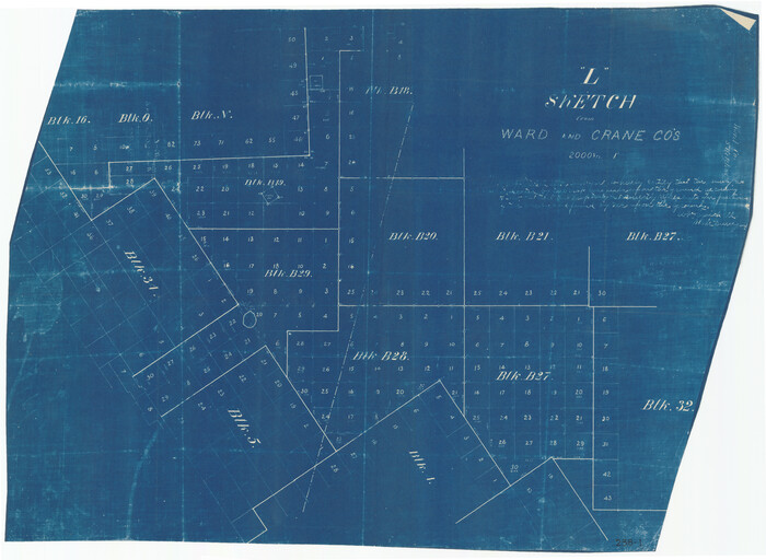
"L" Sketch from Ward and Crane Cos.

Print $20.00
- Digital $50.00
"L" Sketch from Ward and Crane Cos.
Size: 28.7 x 20.8 inches
91961
Andrews County Rolled Sketch 42


Print $20.00
- Digital $50.00
Andrews County Rolled Sketch 42
Size: 27.3 x 36.0 inches
77182
Crane County Sketch File 1


Print $20.00
- Digital $50.00
Crane County Sketch File 1
Size: 44.8 x 14.6 inches
10343
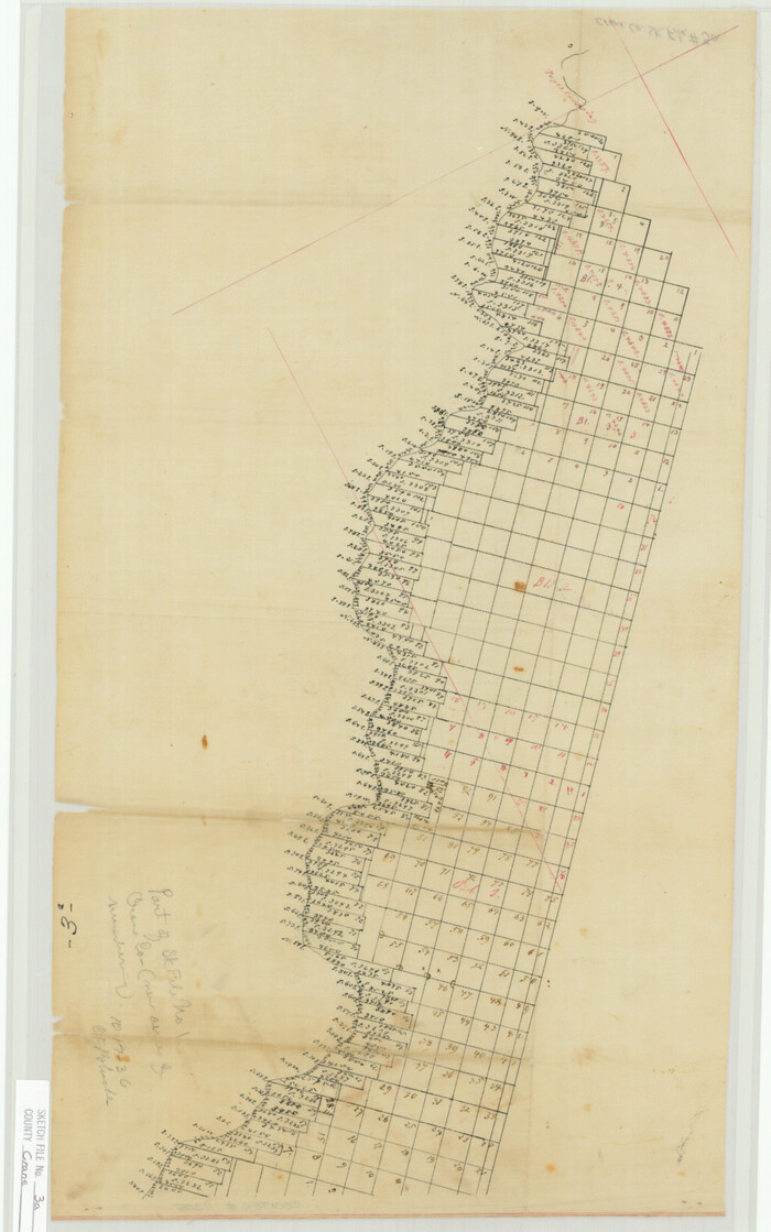
Crane County Sketch File 3a

Print $20.00
- Digital $50.00
Crane County Sketch File 3a
Size: 20.8 x 13.0 inches
11205
Crane County Working Sketch 26


Print $20.00
- Digital $50.00
Crane County Working Sketch 26
1971
Size: 32.4 x 33.0 inches
68303
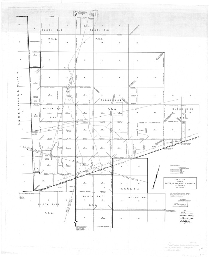
Ector County Rolled Sketch 11

Print $20.00
- Digital $50.00
Ector County Rolled Sketch 11
1947
Size: 47.5 x 38.8 inches
8839
Ector County Sketch File 3


Print $20.00
- Digital $50.00
Ector County Sketch File 3
1889
Size: 16.2 x 35.5 inches
11417
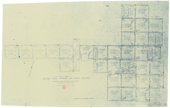
Ector County Working Sketch 10

Print $20.00
- Digital $50.00
Ector County Working Sketch 10
1953
Size: 25.4 x 39.0 inches
68853
General Highway Map, Ward County, Texas
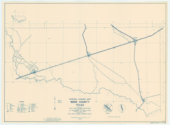

Print $20.00
General Highway Map, Ward County, Texas
1940
Size: 18.5 x 25.1 inches
79271
General Highway Map, Ward County, Texas


Print $20.00
General Highway Map, Ward County, Texas
1961
Size: 18.2 x 25.0 inches
79702
L Sketch from Ward and Crane Co's
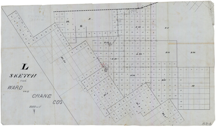

Print $20.00
- Digital $50.00
L Sketch from Ward and Crane Co's
Size: 39.6 x 23.2 inches
90462
Lands of Gunter & Munson and Maddox Bros. & Anderson, Tom Green Co. Tex.
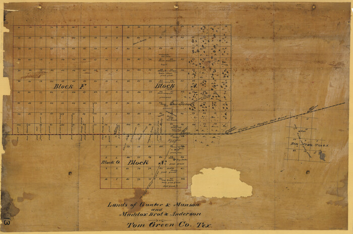

Print $20.00
- Digital $50.00
Lands of Gunter & Munson and Maddox Bros. & Anderson, Tom Green Co. Tex.
Size: 20.4 x 30.7 inches
75787
Loving County Working Sketch 1
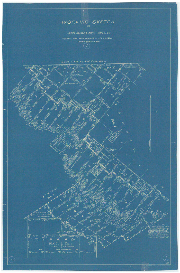

Print $20.00
- Digital $50.00
Loving County Working Sketch 1
1928
Size: 30.0 x 19.7 inches
70633
Loving County Working Sketch 15
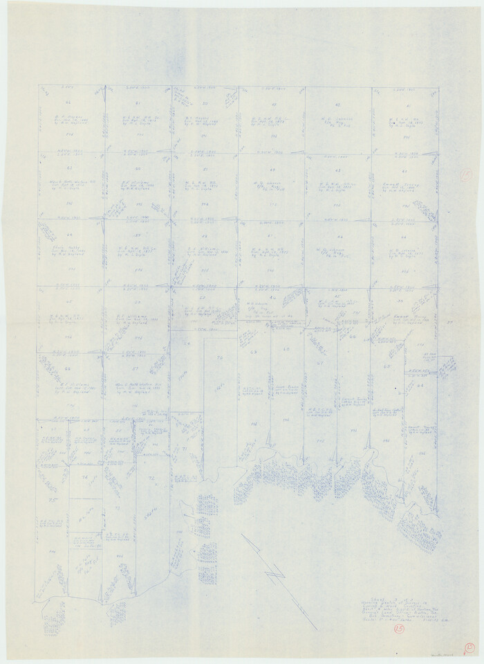

Print $20.00
- Digital $50.00
Loving County Working Sketch 15
1973
Size: 47.3 x 34.5 inches
70648
Loving County Working Sketch 16
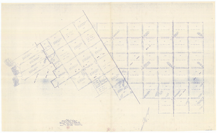

Print $40.00
- Digital $50.00
Loving County Working Sketch 16
1973
Size: 33.3 x 54.1 inches
70649
Map Prepared from Data by Original Field Book by W.D. Twichell


Print $40.00
- Digital $50.00
Map Prepared from Data by Original Field Book by W.D. Twichell
Size: 64.0 x 40.0 inches
89733
Map of 4th Section of 54.68 Miles East from Franklin, Rio Grande Division T. and P. Ry.


Print $40.00
- Digital $50.00
Map of 4th Section of 54.68 Miles East from Franklin, Rio Grande Division T. and P. Ry.
1881
Size: 150.0 x 21.9 inches
64639
Map of Survey made for Bascom Giles, General Land Commissioner, covering Bob Reid Mineral Application No. 35521
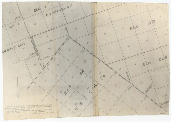

Print $20.00
- Digital $50.00
Map of Survey made for Bascom Giles, General Land Commissioner, covering Bob Reid Mineral Application No. 35521
1941
Size: 26.5 x 19.1 inches
91964
PSL Field Notes for Block B13 in Crane, Ector, Ward, and Winkler Counties, Blocks B14 and B16 in Crane and Ector Counties, Blocks B7 and B8 in Ector and Winkler Counties and Block B15 in Ector County


PSL Field Notes for Block B13 in Crane, Ector, Ward, and Winkler Counties, Blocks B14 and B16 in Crane and Ector Counties, Blocks B7 and B8 in Ector and Winkler Counties and Block B15 in Ector County
81651
PSL Field Notes for Block B27 in Crane County and Block B28 in Crane and Ward Counties


PSL Field Notes for Block B27 in Crane County and Block B28 in Crane and Ward Counties
81648
PSL Field Notes for Block B9 in Ector and Winkler Counties, Block B13 in Ector, Ward, and Winkler Counties, and Blocks A55, A56, A57, B1, B2, B3, B5, B6, B7, B10, B11, and B12 in Winkler County


PSL Field Notes for Block B9 in Ector and Winkler Counties, Block B13 in Ector, Ward, and Winkler Counties, and Blocks A55, A56, A57, B1, B2, B3, B5, B6, B7, B10, B11, and B12 in Winkler County
81676
PSL Field Notes for Blocks B13, B18, and B28 in Crane and Ward Counties, and Blocks B19, B20, and B29 in Ward County


PSL Field Notes for Blocks B13, B18, and B28 in Crane and Ward Counties, and Blocks B19, B20, and B29 in Ward County
81647
PSL Field Notes for Blocks B14 and B16 in Crane and Ector Counties, Blocks B18 and B20 in Crane and Ward Counties, and Blocks B17, B21, B22, B23, B24, B25, and B26 in Crane County


PSL Field Notes for Blocks B14 and B16 in Crane and Ector Counties, Blocks B18 and B20 in Crane and Ward Counties, and Blocks B17, B21, B22, B23, B24, B25, and B26 in Crane County
81646
Pecos County Rolled Sketch 139
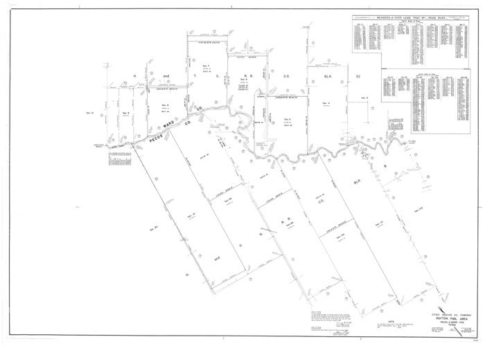

Print $40.00
- Digital $50.00
Pecos County Rolled Sketch 139
1953
Size: 41.0 x 57.4 inches
9732
Pecos County Rolled Sketch 141


Print $40.00
- Digital $50.00
Pecos County Rolled Sketch 141
1927
Size: 60.5 x 20.4 inches
10722
Reeves County Rolled Sketch 6


Print $20.00
- Digital $50.00
Reeves County Rolled Sketch 6
Size: 22.6 x 29.0 inches
7478
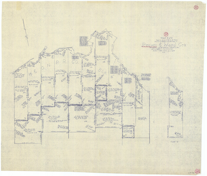
Reeves County Working Sketch 30

Print $20.00
- Digital $50.00
Reeves County Working Sketch 30
1969
Size: 31.1 x 36.5 inches
63473
Reeves County Working Sketch 31


Print $20.00
- Digital $50.00
Reeves County Working Sketch 31
1969
Size: 27.6 x 36.5 inches
63474
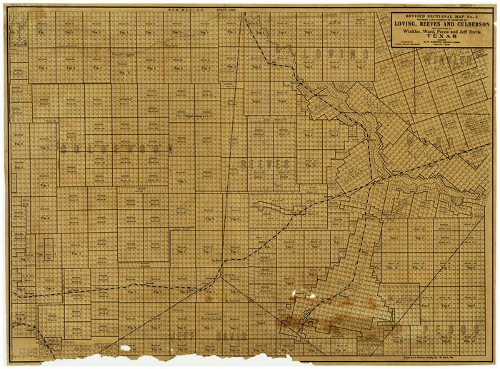
Revised Sectional Map No. 3 showing land surveys in counties of Loving, Reeves and Culberson and portions of Winkler, Ward, Pecos and Jeff Davis, Texas

Print $20.00
- Digital $50.00
Revised Sectional Map No. 3 showing land surveys in counties of Loving, Reeves and Culberson and portions of Winkler, Ward, Pecos and Jeff Davis, Texas
Size: 19.0 x 24.7 inches
4478
Revised Sectional Map showing land surveys in counties of Loving and Reeves


Print $20.00
- Digital $50.00
Revised Sectional Map showing land surveys in counties of Loving and Reeves
Size: 18.0 x 17.7 inches
5053
"L" Sketch from Ward and Crane Cos.


Print $20.00
- Digital $50.00
"L" Sketch from Ward and Crane Cos.
-
Size
28.7 x 20.8 inches
-
Map/Doc
91961
Andrews County Rolled Sketch 42


Print $20.00
- Digital $50.00
Andrews County Rolled Sketch 42
-
Size
27.3 x 36.0 inches
-
Map/Doc
77182
Crane County Sketch File 1


Print $20.00
- Digital $50.00
Crane County Sketch File 1
-
Size
44.8 x 14.6 inches
-
Map/Doc
10343
Crane County Sketch File 3a


Print $20.00
- Digital $50.00
Crane County Sketch File 3a
-
Size
20.8 x 13.0 inches
-
Map/Doc
11205
Crane County Working Sketch 26


Print $20.00
- Digital $50.00
Crane County Working Sketch 26
1971
-
Size
32.4 x 33.0 inches
-
Map/Doc
68303
-
Creation Date
1971
Ector County Rolled Sketch 11


Print $20.00
- Digital $50.00
Ector County Rolled Sketch 11
1947
-
Size
47.5 x 38.8 inches
-
Map/Doc
8839
-
Creation Date
1947
Ector County Sketch File 3


Print $20.00
- Digital $50.00
Ector County Sketch File 3
1889
-
Size
16.2 x 35.5 inches
-
Map/Doc
11417
-
Creation Date
1889
Ector County Working Sketch 10


Print $20.00
- Digital $50.00
Ector County Working Sketch 10
1953
-
Size
25.4 x 39.0 inches
-
Map/Doc
68853
-
Creation Date
1953
General Highway Map, Ward County, Texas


Print $20.00
General Highway Map, Ward County, Texas
1940
-
Size
18.5 x 25.1 inches
-
Map/Doc
79271
-
Creation Date
1940
General Highway Map, Ward County, Texas


Print $20.00
General Highway Map, Ward County, Texas
1961
-
Size
18.2 x 25.0 inches
-
Map/Doc
79702
-
Creation Date
1961
L Sketch from Ward and Crane Co's


Print $20.00
- Digital $50.00
L Sketch from Ward and Crane Co's
-
Size
39.6 x 23.2 inches
-
Map/Doc
90462
Lands of Gunter & Munson and Maddox Bros. & Anderson, Tom Green Co. Tex.


Print $20.00
- Digital $50.00
Lands of Gunter & Munson and Maddox Bros. & Anderson, Tom Green Co. Tex.
-
Size
20.4 x 30.7 inches
-
Map/Doc
75787
Loving County Working Sketch 1


Print $20.00
- Digital $50.00
Loving County Working Sketch 1
1928
-
Size
30.0 x 19.7 inches
-
Map/Doc
70633
-
Creation Date
1928
Loving County Working Sketch 15


Print $20.00
- Digital $50.00
Loving County Working Sketch 15
1973
-
Size
47.3 x 34.5 inches
-
Map/Doc
70648
-
Creation Date
1973
Loving County Working Sketch 16


Print $40.00
- Digital $50.00
Loving County Working Sketch 16
1973
-
Size
33.3 x 54.1 inches
-
Map/Doc
70649
-
Creation Date
1973
Map Prepared from Data by Original Field Book by W.D. Twichell


Print $40.00
- Digital $50.00
Map Prepared from Data by Original Field Book by W.D. Twichell
-
Size
64.0 x 40.0 inches
-
Map/Doc
89733
Map of 4th Section of 54.68 Miles East from Franklin, Rio Grande Division T. and P. Ry.


Print $40.00
- Digital $50.00
Map of 4th Section of 54.68 Miles East from Franklin, Rio Grande Division T. and P. Ry.
1881
-
Size
150.0 x 21.9 inches
-
Map/Doc
64639
-
Creation Date
1881
Map of Survey made for Bascom Giles, General Land Commissioner, covering Bob Reid Mineral Application No. 35521


Print $20.00
- Digital $50.00
Map of Survey made for Bascom Giles, General Land Commissioner, covering Bob Reid Mineral Application No. 35521
1941
-
Size
26.5 x 19.1 inches
-
Map/Doc
91964
-
Creation Date
1941
PSL Field Notes for Block B13 in Crane, Ector, Ward, and Winkler Counties, Blocks B14 and B16 in Crane and Ector Counties, Blocks B7 and B8 in Ector and Winkler Counties and Block B15 in Ector County


PSL Field Notes for Block B13 in Crane, Ector, Ward, and Winkler Counties, Blocks B14 and B16 in Crane and Ector Counties, Blocks B7 and B8 in Ector and Winkler Counties and Block B15 in Ector County
-
Map/Doc
81651
PSL Field Notes for Block B27 in Crane County and Block B28 in Crane and Ward Counties


PSL Field Notes for Block B27 in Crane County and Block B28 in Crane and Ward Counties
-
Map/Doc
81648
PSL Field Notes for Block B9 in Ector and Winkler Counties, Block B13 in Ector, Ward, and Winkler Counties, and Blocks A55, A56, A57, B1, B2, B3, B5, B6, B7, B10, B11, and B12 in Winkler County


PSL Field Notes for Block B9 in Ector and Winkler Counties, Block B13 in Ector, Ward, and Winkler Counties, and Blocks A55, A56, A57, B1, B2, B3, B5, B6, B7, B10, B11, and B12 in Winkler County
-
Map/Doc
81676
PSL Field Notes for Blocks B13, B18, and B28 in Crane and Ward Counties, and Blocks B19, B20, and B29 in Ward County


PSL Field Notes for Blocks B13, B18, and B28 in Crane and Ward Counties, and Blocks B19, B20, and B29 in Ward County
-
Map/Doc
81647
PSL Field Notes for Blocks B14 and B16 in Crane and Ector Counties, Blocks B18 and B20 in Crane and Ward Counties, and Blocks B17, B21, B22, B23, B24, B25, and B26 in Crane County


PSL Field Notes for Blocks B14 and B16 in Crane and Ector Counties, Blocks B18 and B20 in Crane and Ward Counties, and Blocks B17, B21, B22, B23, B24, B25, and B26 in Crane County
-
Map/Doc
81646
Pecos County Rolled Sketch 139


Print $40.00
- Digital $50.00
Pecos County Rolled Sketch 139
1953
-
Size
41.0 x 57.4 inches
-
Map/Doc
9732
-
Creation Date
1953
Pecos County Rolled Sketch 141


Print $40.00
- Digital $50.00
Pecos County Rolled Sketch 141
1927
-
Size
60.5 x 20.4 inches
-
Map/Doc
10722
-
Creation Date
1927
Reeves County Rolled Sketch 6


Print $20.00
- Digital $50.00
Reeves County Rolled Sketch 6
-
Size
22.6 x 29.0 inches
-
Map/Doc
7478
Reeves County Working Sketch 30


Print $20.00
- Digital $50.00
Reeves County Working Sketch 30
1969
-
Size
31.1 x 36.5 inches
-
Map/Doc
63473
-
Creation Date
1969
Reeves County Working Sketch 31


Print $20.00
- Digital $50.00
Reeves County Working Sketch 31
1969
-
Size
27.6 x 36.5 inches
-
Map/Doc
63474
-
Creation Date
1969
Revised Sectional Map No. 3 showing land surveys in counties of Loving, Reeves and Culberson and portions of Winkler, Ward, Pecos and Jeff Davis, Texas


Print $20.00
- Digital $50.00
Revised Sectional Map No. 3 showing land surveys in counties of Loving, Reeves and Culberson and portions of Winkler, Ward, Pecos and Jeff Davis, Texas
-
Size
19.0 x 24.7 inches
-
Map/Doc
4478
Revised Sectional Map showing land surveys in counties of Loving and Reeves


Print $20.00
- Digital $50.00
Revised Sectional Map showing land surveys in counties of Loving and Reeves
-
Size
18.0 x 17.7 inches
-
Map/Doc
5053