188 results

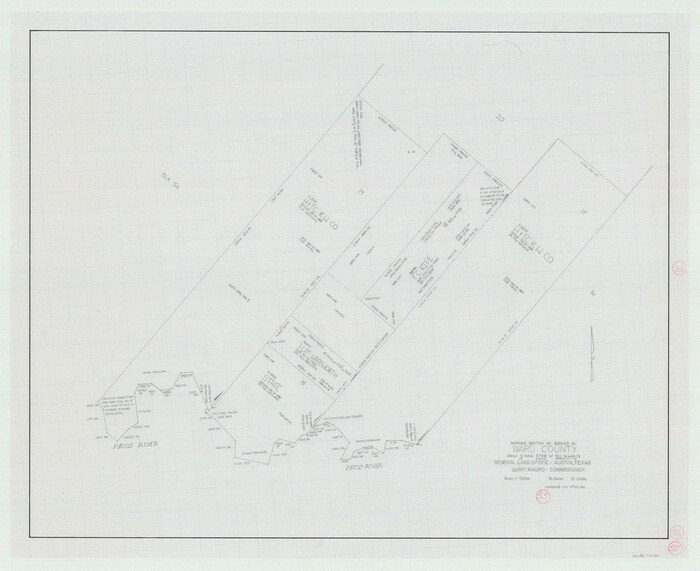
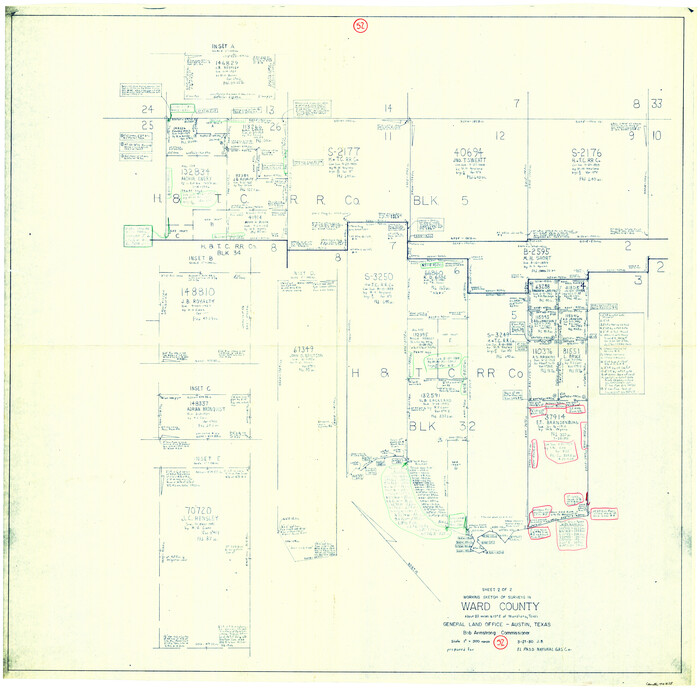
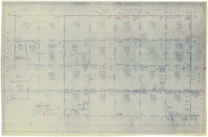
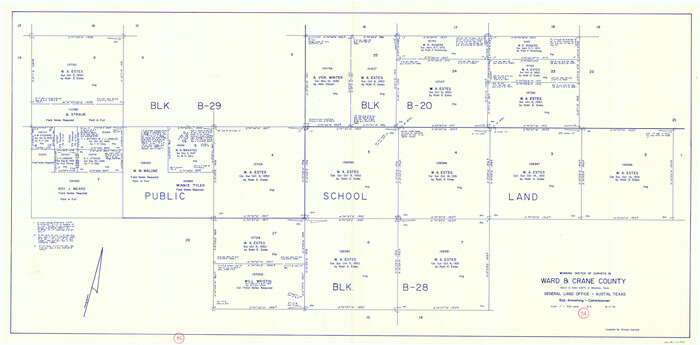
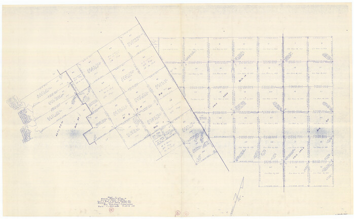
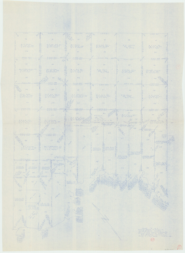
Ward County Rolled Sketch 27
8166.tif
Print $20.00 - Digital $50.00

Ward County Rolled Sketch 27

1982

Size: 22.7 x 16.5 inches
8166
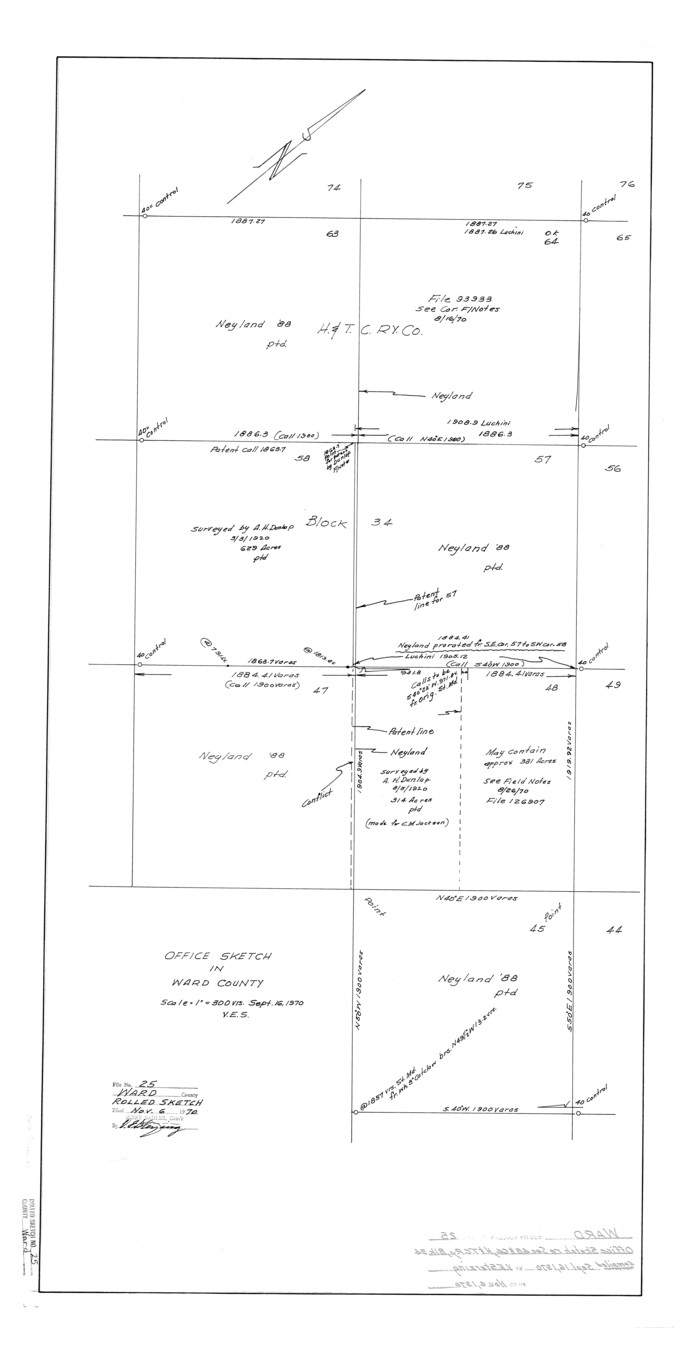
Ward County Rolled Sketch 25
8165.tif
Print $20.00 - Digital $50.00

Ward County Rolled Sketch 25

1970

Size: 38.7 x 19.9 inches
8165
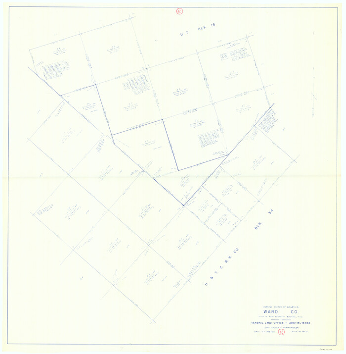
Ward County Rolled Sketch 24B
10115.tif
Print $40.00 - Digital $50.00

Ward County Rolled Sketch 24B

1967

Size: 24.7 x 56.4 inches
10115
Ward County Rolled Sketch 24E
10116.tif
Print $40.00 - Digital $50.00

Ward County Rolled Sketch 24E

1967

Size: 42.3 x 64.9 inches
10116
Ward County Rolled Sketch 24F
10117.tif
Print $40.00 - Digital $50.00

Ward County Rolled Sketch 24F

1967

Size: 43.0 x 72.4 inches
10117
Ward County Rolled Sketch 24C
10114.tif
Print $40.00 - Digital $50.00

Ward County Rolled Sketch 24C

1967

Size: 54.8 x 24.4 inches
10114
General Highway Map, Ward County, Texas
79702.tif
Print $20.00

General Highway Map, Ward County, Texas

1961

Size: 18.2 x 25.0 inches
79702
Ward County Rolled Sketch 23
10111.tif
Print $20.00 - Digital $50.00

Ward County Rolled Sketch 23

1955

Size: 31.5 x 37.5 inches
10111
Pecos County Rolled Sketch 139
9732.tif
Print $40.00 - Digital $50.00

Pecos County Rolled Sketch 139

1953

Size: 58.7 x 42.5 inches
9732
Ward County Sketch File 13
39640, Ward County Sketch File 13, General Map Collection
Print $14.00 - Digital $50.00

Ward County Sketch File 13

1951

Size: 14.5 x 8.8 inches
39640
Ward County Rolled Sketch 21
8163.tif
Print $20.00 - Digital $50.00

Ward County Rolled Sketch 21

1951

Size: 21.1 x 43.3 inches
8163
Ward County Rolled Sketch 20
8162-1.tif
Print $20.00 - Digital $50.00

Ward County Rolled Sketch 20

1950

Size: 27.4 x 22.7 inches
8162
Ward County Rolled Sketch 19
8161.tif
Print $20.00 - Digital $50.00

Ward County Rolled Sketch 19

1949

Size: 20.5 x 26.7 inches
8161
Ward County Rolled Sketch 18
10109-1.tif
Print $20.00 - Digital $50.00

Ward County Rolled Sketch 18

1949

Size: 31.6 x 34.0 inches
10109
Ward County Rolled Sketch 17
8160.tif
Print $20.00 - Digital $50.00

Ward County Rolled Sketch 17

1947

Size: 16.2 x 19.5 inches
8160
Ector County Rolled Sketch 11
8839.tif
Print $20.00 - Digital $50.00

Ector County Rolled Sketch 11

1947

Size: 47.5 x 38.8 inches
8839
Ward County Sketch File 11
12600, Ward County Sketch File 11, General Map Collection
Print $20.00 - Digital $50.00

Ward County Sketch File 11

1943

Size: 17.4 x 20.4 inches
12600
[Skletch filed with corrected field notes of Surveys 27, 28, 29 and 30, Block B-19 Public School Lands]
93056.tif
Print $20.00 - Digital $50.00

[Skletch filed with corrected field notes of Surveys 27, 28, 29 and 30, Block B-19 Public School Lands]

1943

Size: 19.3 x 15.4 inches
93056
[Sketch filed with corrected field notes of Surveys 27, 28, 29 and 30, Block B-19, PSL]
91848-1.tif
Print $20.00 - Digital $50.00

[Sketch filed with corrected field notes of Surveys 27, 28, 29 and 30, Block B-19, PSL]

1943

Size: 19.9 x 15.1 inches
91848
Ward County Rolled Sketch 16
8159-1.tif
Print $20.00 - Digital $50.00

Ward County Rolled Sketch 16

1942

Size: 30.5 x 21.7 inches
8159
Ward County Rolled Sketch 15
8158.tif
Print $20.00 - Digital $50.00

Ward County Rolled Sketch 15

1941

Size: 26.9 x 39.2 inches
8158
Map of Survey made for Bascom Giles, General Land Commissioner, covering Bob Reid Mineral Application No. 35521
91964-1.tif
Print $20.00 - Digital $50.00

Map of Survey made for Bascom Giles, General Land Commissioner, covering Bob Reid Mineral Application No. 35521

1941

Size: 26.5 x 19.1 inches
91964
[Sketch of 27 1/2 Acre Tract]
92799.tif
Print $3.00 - Digital $50.00

[Sketch of 27 1/2 Acre Tract]

1940

Size: 12.4 x 9.1 inches
92799
Ward County Rolled Sketch 14
8157.tif
Print $20.00 - Digital $50.00

Ward County Rolled Sketch 14

1940

Size: 18.5 x 26.2 inches
8157
General Highway Map, Ward County, Texas
79271.tif
Print $20.00

General Highway Map, Ward County, Texas

1940

Size: 18.5 x 25.1 inches
79271
Ward County Rolled Sketch 13
8156.tif
Print $20.00 - Digital $50.00

Ward County Rolled Sketch 13

1938

Size: 30.0 x 20.0 inches
8156
[University Land in Loving, Ward, Winkler, Pecos, Crane, Ector, Upton, Crockett, Schleicher, Irion and Reagan Counties]
2424.tif
Print $40.00 - Digital $50.00

[University Land in Loving, Ward, Winkler, Pecos, Crane, Ector, Upton, Crockett, Schleicher, Irion and Reagan Counties]

1938

Size: 37.9 x 78.5 inches
2424
[Notes and rough sketch of survey 6, Block 16 and survey 19 1/2, Block 19]
93052.tif
Print $2.00 - Digital $50.00

[Notes and rough sketch of survey 6, Block 16 and survey 19 1/2, Block 19]

1937

Size: 8.7 x 11.4 inches
93052
Ward County Sketch File 9
39623, Ward County Sketch File 9, General Map Collection
Print $25.00 - Digital $50.00

Ward County Sketch File 9

1937

Size: 10.8 x 8.9 inches
39623
Survey for J. R. Prince, Ward County, Texas
89905-1.tif
Print $20.00 - Digital $50.00

Survey for J. R. Prince, Ward County, Texas

1937

Size: 47.6 x 37.7 inches
89905
Ward County Rolled Sketch 27
8166, Ward County Rolled Sketch 27, General Map Collection
Print $20.00 - Digital $50.00

Ward County Rolled Sketch 27

1982

  • Size

    22.7 x 16.5 inches

  • Map/Doc

    8166

  • Creation Date

    1982

Ward County Rolled Sketch 25
8165, Ward County Rolled Sketch 25, General Map Collection
Print $20.00 - Digital $50.00

Ward County Rolled Sketch 25

1970

  • Size

    38.7 x 19.9 inches

  • Map/Doc

    8165

  • Creation Date

    1970

Ward County Rolled Sketch 24B
10115, Ward County Rolled Sketch 24B, General Map Collection
Print $40.00 - Digital $50.00

Ward County Rolled Sketch 24B

1967

  • Size

    24.7 x 56.4 inches

  • Map/Doc

    10115

  • Creation Date

    1967

Ward County Rolled Sketch 24E
10116, Ward County Rolled Sketch 24E, General Map Collection
Print $40.00 - Digital $50.00

Ward County Rolled Sketch 24E

1967

  • Size

    42.3 x 64.9 inches

  • Map/Doc

    10116

  • Creation Date

    1967

Ward County Rolled Sketch 24F
10117, Ward County Rolled Sketch 24F, General Map Collection
Print $40.00 - Digital $50.00

Ward County Rolled Sketch 24F

1967

  • Size

    43.0 x 72.4 inches

  • Map/Doc

    10117

  • Creation Date

    1967

Ward County Rolled Sketch 24C
10114, Ward County Rolled Sketch 24C, General Map Collection
Print $40.00 - Digital $50.00

Ward County Rolled Sketch 24C

1967

  • Size

    54.8 x 24.4 inches

  • Map/Doc

    10114

  • Creation Date

    1967

General Highway Map, Ward County, Texas
79702, General Highway Map, Ward County, Texas, Texas State Library and Archives
Print $20.00

General Highway Map, Ward County, Texas

1961

  • Size

    18.2 x 25.0 inches

  • Map/Doc

    79702

  • Creation Date

    1961

Ward County Rolled Sketch 23
10111, Ward County Rolled Sketch 23, General Map Collection
Print $20.00 - Digital $50.00

Ward County Rolled Sketch 23

1955

  • Size

    31.5 x 37.5 inches

  • Map/Doc

    10111

  • Creation Date

    1955

Pecos County Rolled Sketch 139
9732, Pecos County Rolled Sketch 139, General Map Collection
Print $40.00 - Digital $50.00

Pecos County Rolled Sketch 139

1953

  • Size

    58.7 x 42.5 inches

  • Map/Doc

    9732

  • Creation Date

    1953

Ward County Sketch File 13
39640, Ward County Sketch File 13, General Map Collection
Print $14.00 - Digital $50.00

Ward County Sketch File 13

1951

  • Size

    14.5 x 8.8 inches

  • Map/Doc

    39640

  • Creation Date

    1951

Ward County Rolled Sketch 21
8163, Ward County Rolled Sketch 21, General Map Collection
Print $20.00 - Digital $50.00

Ward County Rolled Sketch 21

1951

  • Size

    21.1 x 43.3 inches

  • Map/Doc

    8163

  • Creation Date

    1951

Ward County Rolled Sketch 20
8162, Ward County Rolled Sketch 20, General Map Collection
Print $20.00 - Digital $50.00

Ward County Rolled Sketch 20

1950

  • Size

    27.4 x 22.7 inches

  • Map/Doc

    8162

  • Creation Date

    1950

Ward County Rolled Sketch 19
8161, Ward County Rolled Sketch 19, General Map Collection
Print $20.00 - Digital $50.00

Ward County Rolled Sketch 19

1949

  • Size

    20.5 x 26.7 inches

  • Map/Doc

    8161

  • Creation Date

    1949

Ward County Rolled Sketch 18
10109, Ward County Rolled Sketch 18, General Map Collection
Print $20.00 - Digital $50.00

Ward County Rolled Sketch 18

1949

  • Size

    31.6 x 34.0 inches

  • Map/Doc

    10109

  • Creation Date

    1949

Ward County Rolled Sketch 17
8160, Ward County Rolled Sketch 17, General Map Collection
Print $20.00 - Digital $50.00

Ward County Rolled Sketch 17

1947

  • Size

    16.2 x 19.5 inches

  • Map/Doc

    8160

  • Creation Date

    1947

Ector County Rolled Sketch 11
8839, Ector County Rolled Sketch 11, General Map Collection
Print $20.00 - Digital $50.00

Ector County Rolled Sketch 11

1947

  • Size

    47.5 x 38.8 inches

  • Map/Doc

    8839

  • Creation Date

    1947

Ward County Sketch File 11
12600, Ward County Sketch File 11, General Map Collection
Print $20.00 - Digital $50.00

Ward County Sketch File 11

1943

  • Size

    17.4 x 20.4 inches

  • Map/Doc

    12600

  • Creation Date

    1943

[Skletch filed with corrected field notes of Surveys 27, 28, 29 and 30, Block B-19 Public School Lands]
93056, [Skletch filed with corrected field notes of Surveys 27, 28, 29 and 30, Block B-19 Public School Lands], Twichell Survey Records
Print $20.00 - Digital $50.00

[Skletch filed with corrected field notes of Surveys 27, 28, 29 and 30, Block B-19 Public School Lands]

1943

  • Size

    19.3 x 15.4 inches

  • Map/Doc

    93056

  • Creation Date

    1943

[Sketch filed with corrected field notes of Surveys 27, 28, 29 and 30, Block B-19, PSL]
91848, [Sketch filed with corrected field notes of Surveys 27, 28, 29 and 30, Block B-19, PSL], Twichell Survey Records
Print $20.00 - Digital $50.00

[Sketch filed with corrected field notes of Surveys 27, 28, 29 and 30, Block B-19, PSL]

1943

  • Size

    19.9 x 15.1 inches

  • Map/Doc

    91848

  • Creation Date

    1943

Ward County Rolled Sketch 16
8159, Ward County Rolled Sketch 16, General Map Collection
Print $20.00 - Digital $50.00

Ward County Rolled Sketch 16

1942

  • Size

    30.5 x 21.7 inches

  • Map/Doc

    8159

  • Creation Date

    1942

Ward County Rolled Sketch 15
8158, Ward County Rolled Sketch 15, General Map Collection
Print $20.00 - Digital $50.00

Ward County Rolled Sketch 15

1941

  • Size

    26.9 x 39.2 inches

  • Map/Doc

    8158

  • Creation Date

    1941

Map of Survey made for Bascom Giles, General Land Commissioner, covering Bob Reid Mineral Application No. 35521
91964, Map of Survey made for Bascom Giles, General Land Commissioner, covering Bob Reid Mineral Application No. 35521, Twichell Survey Records
Print $20.00 - Digital $50.00

Map of Survey made for Bascom Giles, General Land Commissioner, covering Bob Reid Mineral Application No. 35521

1941

  • Size

    26.5 x 19.1 inches

  • Map/Doc

    91964

  • Creation Date

    1941

[Sketch of 27 1/2 Acre Tract]
92799, [Sketch of 27 1/2 Acre Tract], Twichell Survey Records
Print $3.00 - Digital $50.00

[Sketch of 27 1/2 Acre Tract]

1940

  • Size

    12.4 x 9.1 inches

  • Map/Doc

    92799

  • Creation Date

    1940

Ward County Rolled Sketch 14
8157, Ward County Rolled Sketch 14, General Map Collection
Print $20.00 - Digital $50.00

Ward County Rolled Sketch 14

1940

  • Size

    18.5 x 26.2 inches

  • Map/Doc

    8157

  • Creation Date

    1940

General Highway Map, Ward County, Texas
79271, General Highway Map, Ward County, Texas, Texas State Library and Archives
Print $20.00

General Highway Map, Ward County, Texas

1940

  • Size

    18.5 x 25.1 inches

  • Map/Doc

    79271

  • Creation Date

    1940

Ward County Rolled Sketch 13
8156, Ward County Rolled Sketch 13, General Map Collection
Print $20.00 - Digital $50.00

Ward County Rolled Sketch 13

1938

  • Size

    30.0 x 20.0 inches

  • Map/Doc

    8156

  • Creation Date

    1938

[University Land in Loving, Ward, Winkler, Pecos, Crane, Ector, Upton, Crockett, Schleicher, Irion and Reagan Counties]
2424, [University Land in Loving, Ward, Winkler, Pecos, Crane, Ector, Upton, Crockett, Schleicher, Irion and Reagan Counties], General Map Collection
Print $40.00 - Digital $50.00

[University Land in Loving, Ward, Winkler, Pecos, Crane, Ector, Upton, Crockett, Schleicher, Irion and Reagan Counties]

1938

  • Size

    37.9 x 78.5 inches

  • Map/Doc

    2424

  • Creation Date

    1938

[Notes and rough sketch of survey 6, Block 16 and survey 19 1/2, Block 19]
93052, [Notes and rough sketch of survey 6, Block 16 and survey 19 1/2, Block 19], Twichell Survey Records
Print $2.00 - Digital $50.00

[Notes and rough sketch of survey 6, Block 16 and survey 19 1/2, Block 19]

1937

  • Size

    8.7 x 11.4 inches

  • Map/Doc

    93052

  • Creation Date

    1937

Ward County Sketch File 9
39623, Ward County Sketch File 9, General Map Collection
Print $25.00 - Digital $50.00

Ward County Sketch File 9

1937

  • Size

    10.8 x 8.9 inches

  • Map/Doc

    39623

  • Creation Date

    1937

Survey for J. R. Prince, Ward County, Texas
89905, Survey for J. R. Prince, Ward County, Texas, Twichell Survey Records
Print $20.00 - Digital $50.00

Survey for J. R. Prince, Ward County, Texas

1937

  • Size

    47.6 x 37.7 inches

  • Map/Doc

    89905

  • Creation Date

    1937