"K" Sketch from Loving & Winkler Counties


Print $40.00
- Digital $50.00
"K" Sketch from Loving & Winkler Counties
1902
Size: 49.4 x 39.7 inches
89938
Andrews County Rolled Sketch 10
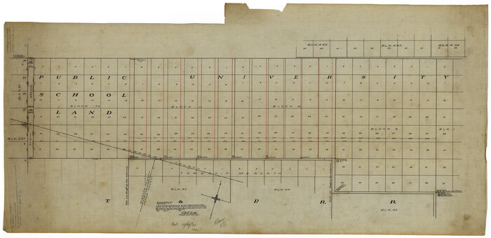

Print $40.00
- Digital $50.00
Andrews County Rolled Sketch 10
1931
Size: 27.2 x 56.1 inches
8389
Andrews County Rolled Sketch 24
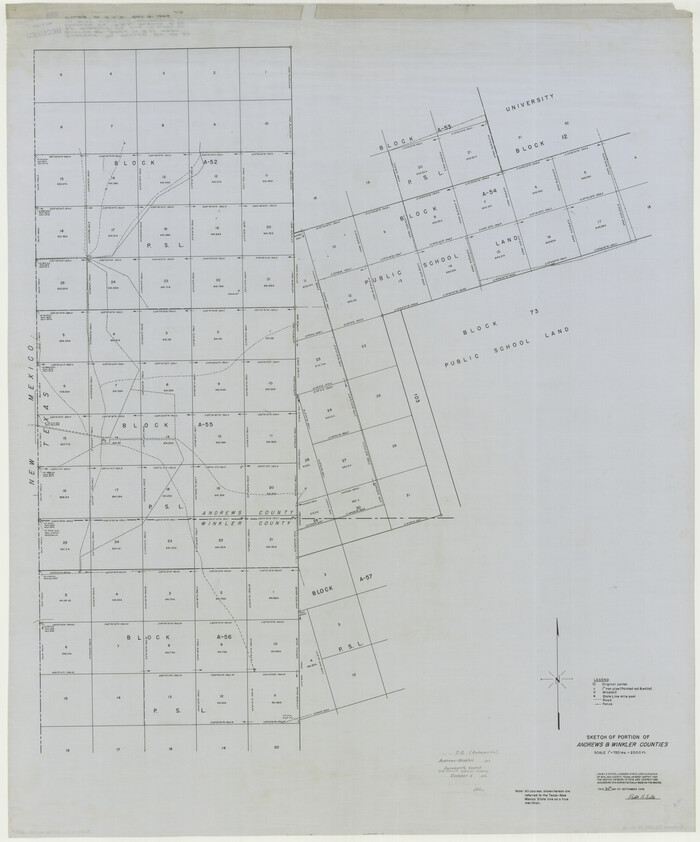

Print $20.00
- Digital $50.00
Andrews County Rolled Sketch 24
1946
Size: 43.0 x 35.8 inches
8397
Andrews County Rolled Sketch 42


Print $20.00
- Digital $50.00
Andrews County Rolled Sketch 42
Size: 27.3 x 36.0 inches
77182
Andrews County Working Sketch 1


Print $20.00
- Digital $50.00
Andrews County Working Sketch 1
1946
Size: 40.4 x 37.3 inches
67047
Andrews County Working Sketch 34


Print $20.00
- Digital $50.00
Andrews County Working Sketch 34
1990
Size: 29.9 x 31.0 inches
67080
Ector County Rolled Sketch 10
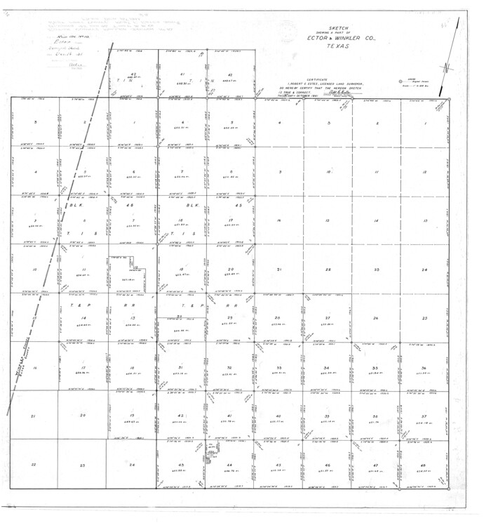

Print $20.00
- Digital $50.00
Ector County Rolled Sketch 10
1941
Size: 34.2 x 32.1 inches
8838
Ector County Rolled Sketch 11
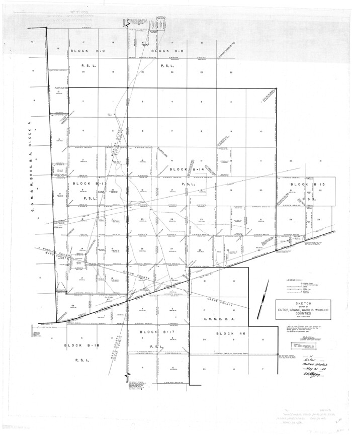

Print $20.00
- Digital $50.00
Ector County Rolled Sketch 11
1947
Size: 47.5 x 38.8 inches
8839
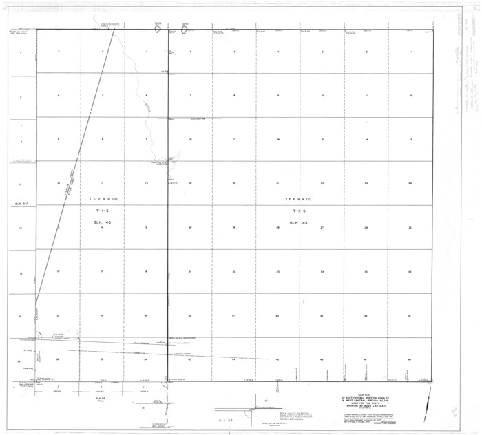
Ector County Rolled Sketch 9

Print $20.00
- Digital $50.00
Ector County Rolled Sketch 9
1940
Size: 39.1 x 43.0 inches
8837
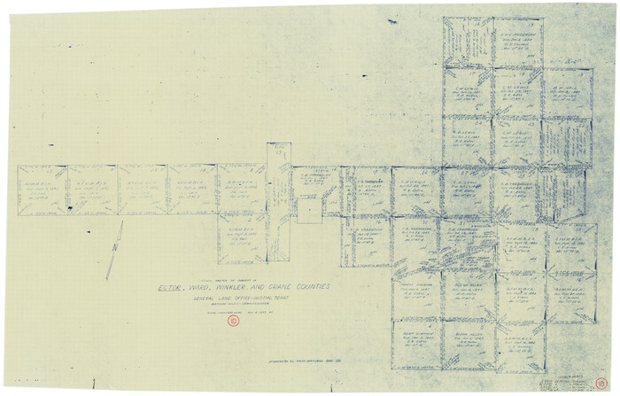
Ector County Working Sketch 10

Print $20.00
- Digital $50.00
Ector County Working Sketch 10
1953
Size: 25.4 x 39.0 inches
68853
Ector County Working Sketch 22


Print $20.00
- Digital $50.00
Ector County Working Sketch 22
1959
Size: 24.2 x 36.6 inches
68865
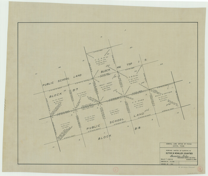
Ector County Working Sketch 3

Print $20.00
- Digital $50.00
Ector County Working Sketch 3
1940
Size: 26.4 x 31.2 inches
68846
Ector County Working Sketch 31


Print $40.00
- Digital $50.00
Ector County Working Sketch 31
1980
Size: 36.0 x 51.0 inches
68874
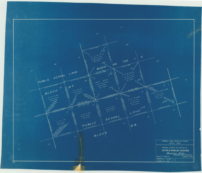
Ector County Working Sketch 4

Print $20.00
- Digital $50.00
Ector County Working Sketch 4
1940
Size: 25.8 x 30.0 inches
68847
General Highway Map, Winkler County, Texas
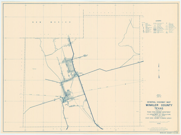

Print $20.00
General Highway Map, Winkler County, Texas
1940
Size: 18.4 x 24.7 inches
79283
General Highway Map, Winkler County, Texas


Print $20.00
General Highway Map, Winkler County, Texas
1961
Size: 18.2 x 24.8 inches
79716
General Highway Map, Winkler County, Texas


Print $20.00
General Highway Map, Winkler County, Texas
1961
Size: 18.2 x 24.8 inches
79717
Lands of Gunter & Munson and Maddox Bros. & Anderson, Tom Green Co. Tex.
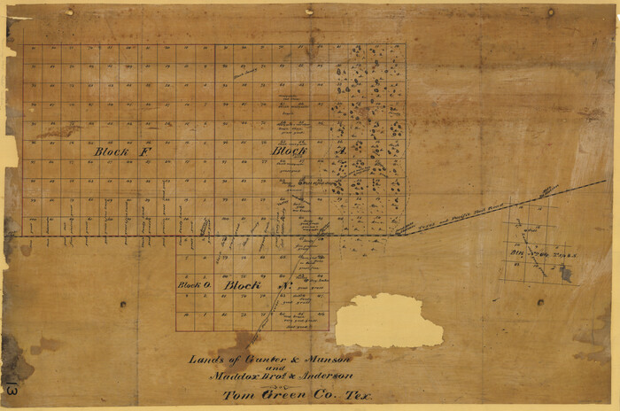

Print $20.00
- Digital $50.00
Lands of Gunter & Munson and Maddox Bros. & Anderson, Tom Green Co. Tex.
Size: 20.4 x 30.7 inches
75787
Loving County Rolled Sketch 13


Print $20.00
- Digital $50.00
Loving County Rolled Sketch 13
2006
Size: 43.6 x 45.0 inches
83650
Loving County Working Sketch 22
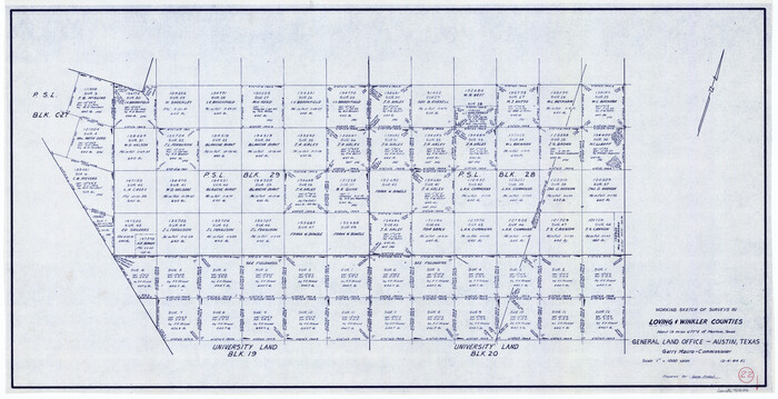

Print $20.00
- Digital $50.00
Loving County Working Sketch 22
1984
Size: 18.3 x 34.9 inches
70656
Loving County Working Sketch 4
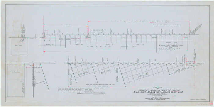

Print $20.00
- Digital $50.00
Loving County Working Sketch 4
1941
Size: 20.1 x 40.2 inches
70636
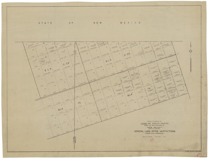
Loving County Working Sketch 5

Print $20.00
- Digital $50.00
Loving County Working Sketch 5
1946
Size: 29.7 x 39.0 inches
70637
Loving County Working Sketch 6


Print $40.00
- Digital $50.00
Loving County Working Sketch 6
1947
Size: 31.3 x 51.0 inches
70638
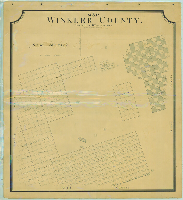
Map of Winkler County

Print $20.00
- Digital $50.00
Map of Winkler County
1900
Size: 42.4 x 38.6 inches
16931
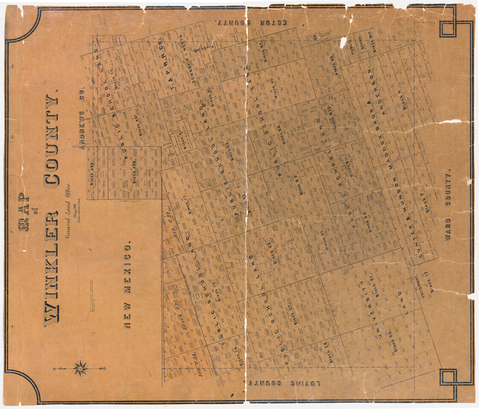
Map of Winkler County

Print $20.00
- Digital $50.00
Map of Winkler County
1901
Size: 43.1 x 36.6 inches
4158
PSL Field Notes for Block B13 in Crane, Ector, Ward, and Winkler Counties, Blocks B14 and B16 in Crane and Ector Counties, Blocks B7 and B8 in Ector and Winkler Counties and Block B15 in Ector County


PSL Field Notes for Block B13 in Crane, Ector, Ward, and Winkler Counties, Blocks B14 and B16 in Crane and Ector Counties, Blocks B7 and B8 in Ector and Winkler Counties and Block B15 in Ector County
81651
PSL Field Notes for Block B9 in Ector and Winkler Counties, Block B13 in Ector, Ward, and Winkler Counties, and Blocks A55, A56, A57, B1, B2, B3, B5, B6, B7, B10, B11, and B12 in Winkler County


PSL Field Notes for Block B9 in Ector and Winkler Counties, Block B13 in Ector, Ward, and Winkler Counties, and Blocks A55, A56, A57, B1, B2, B3, B5, B6, B7, B10, B11, and B12 in Winkler County
81676
PSL Field Notes for Block C24 in Loving and Winkler Counties, and Blocks C22 and C23 in Winkler County


PSL Field Notes for Block C24 in Loving and Winkler Counties, and Blocks C22 and C23 in Winkler County
81677
PSL Field Notes for Block C24 in Loving and Winkler Counties, and Blocks C25, C26, and C27 in Loving County


PSL Field Notes for Block C24 in Loving and Winkler Counties, and Blocks C25, C26, and C27 in Loving County
81680
"K" Sketch from Loving & Winkler Counties


Print $40.00
- Digital $50.00
"K" Sketch from Loving & Winkler Counties
1902
-
Size
49.4 x 39.7 inches
-
Map/Doc
89938
-
Creation Date
1902
Andrews County Rolled Sketch 10


Print $40.00
- Digital $50.00
Andrews County Rolled Sketch 10
1931
-
Size
27.2 x 56.1 inches
-
Map/Doc
8389
-
Creation Date
1931
Andrews County Rolled Sketch 24


Print $20.00
- Digital $50.00
Andrews County Rolled Sketch 24
1946
-
Size
43.0 x 35.8 inches
-
Map/Doc
8397
-
Creation Date
1946
Andrews County Rolled Sketch 42


Print $20.00
- Digital $50.00
Andrews County Rolled Sketch 42
-
Size
27.3 x 36.0 inches
-
Map/Doc
77182
Andrews County Working Sketch 1


Print $20.00
- Digital $50.00
Andrews County Working Sketch 1
1946
-
Size
40.4 x 37.3 inches
-
Map/Doc
67047
-
Creation Date
1946
Andrews County Working Sketch 34


Print $20.00
- Digital $50.00
Andrews County Working Sketch 34
1990
-
Size
29.9 x 31.0 inches
-
Map/Doc
67080
-
Creation Date
1990
Ector County Rolled Sketch 10


Print $20.00
- Digital $50.00
Ector County Rolled Sketch 10
1941
-
Size
34.2 x 32.1 inches
-
Map/Doc
8838
-
Creation Date
1941
Ector County Rolled Sketch 11


Print $20.00
- Digital $50.00
Ector County Rolled Sketch 11
1947
-
Size
47.5 x 38.8 inches
-
Map/Doc
8839
-
Creation Date
1947
Ector County Rolled Sketch 9


Print $20.00
- Digital $50.00
Ector County Rolled Sketch 9
1940
-
Size
39.1 x 43.0 inches
-
Map/Doc
8837
-
Creation Date
1940
Ector County Working Sketch 10


Print $20.00
- Digital $50.00
Ector County Working Sketch 10
1953
-
Size
25.4 x 39.0 inches
-
Map/Doc
68853
-
Creation Date
1953
Ector County Working Sketch 22


Print $20.00
- Digital $50.00
Ector County Working Sketch 22
1959
-
Size
24.2 x 36.6 inches
-
Map/Doc
68865
-
Creation Date
1959
Ector County Working Sketch 3


Print $20.00
- Digital $50.00
Ector County Working Sketch 3
1940
-
Size
26.4 x 31.2 inches
-
Map/Doc
68846
-
Creation Date
1940
Ector County Working Sketch 31


Print $40.00
- Digital $50.00
Ector County Working Sketch 31
1980
-
Size
36.0 x 51.0 inches
-
Map/Doc
68874
-
Creation Date
1980
Ector County Working Sketch 4


Print $20.00
- Digital $50.00
Ector County Working Sketch 4
1940
-
Size
25.8 x 30.0 inches
-
Map/Doc
68847
-
Creation Date
1940
General Highway Map, Winkler County, Texas


Print $20.00
General Highway Map, Winkler County, Texas
1940
-
Size
18.4 x 24.7 inches
-
Map/Doc
79283
-
Creation Date
1940
General Highway Map, Winkler County, Texas


Print $20.00
General Highway Map, Winkler County, Texas
1961
-
Size
18.2 x 24.8 inches
-
Map/Doc
79716
-
Creation Date
1961
General Highway Map, Winkler County, Texas


Print $20.00
General Highway Map, Winkler County, Texas
1961
-
Size
18.2 x 24.8 inches
-
Map/Doc
79717
-
Creation Date
1961
Lands of Gunter & Munson and Maddox Bros. & Anderson, Tom Green Co. Tex.


Print $20.00
- Digital $50.00
Lands of Gunter & Munson and Maddox Bros. & Anderson, Tom Green Co. Tex.
-
Size
20.4 x 30.7 inches
-
Map/Doc
75787
Loving County Boundary File 2


Print $40.00
- Digital $50.00
Loving County Boundary File 2
-
Map/Doc
90033
Loving County Rolled Sketch 13


Print $20.00
- Digital $50.00
Loving County Rolled Sketch 13
2006
-
Size
43.6 x 45.0 inches
-
Map/Doc
83650
-
Creation Date
2006
Loving County Working Sketch 22


Print $20.00
- Digital $50.00
Loving County Working Sketch 22
1984
-
Size
18.3 x 34.9 inches
-
Map/Doc
70656
-
Creation Date
1984
Loving County Working Sketch 4


Print $20.00
- Digital $50.00
Loving County Working Sketch 4
1941
-
Size
20.1 x 40.2 inches
-
Map/Doc
70636
-
Creation Date
1941
Loving County Working Sketch 5


Print $20.00
- Digital $50.00
Loving County Working Sketch 5
1946
-
Size
29.7 x 39.0 inches
-
Map/Doc
70637
-
Creation Date
1946
Loving County Working Sketch 6


Print $40.00
- Digital $50.00
Loving County Working Sketch 6
1947
-
Size
31.3 x 51.0 inches
-
Map/Doc
70638
-
Creation Date
1947
Map of Winkler County


Print $20.00
- Digital $50.00
Map of Winkler County
1900
-
Size
42.4 x 38.6 inches
-
Map/Doc
16931
-
Creation Date
1900
Map of Winkler County


Print $20.00
- Digital $50.00
Map of Winkler County
1901
-
Size
43.1 x 36.6 inches
-
Map/Doc
4158
-
Creation Date
1901
PSL Field Notes for Block B13 in Crane, Ector, Ward, and Winkler Counties, Blocks B14 and B16 in Crane and Ector Counties, Blocks B7 and B8 in Ector and Winkler Counties and Block B15 in Ector County


PSL Field Notes for Block B13 in Crane, Ector, Ward, and Winkler Counties, Blocks B14 and B16 in Crane and Ector Counties, Blocks B7 and B8 in Ector and Winkler Counties and Block B15 in Ector County
-
Map/Doc
81651
PSL Field Notes for Block B9 in Ector and Winkler Counties, Block B13 in Ector, Ward, and Winkler Counties, and Blocks A55, A56, A57, B1, B2, B3, B5, B6, B7, B10, B11, and B12 in Winkler County


PSL Field Notes for Block B9 in Ector and Winkler Counties, Block B13 in Ector, Ward, and Winkler Counties, and Blocks A55, A56, A57, B1, B2, B3, B5, B6, B7, B10, B11, and B12 in Winkler County
-
Map/Doc
81676
PSL Field Notes for Block C24 in Loving and Winkler Counties, and Blocks C22 and C23 in Winkler County


PSL Field Notes for Block C24 in Loving and Winkler Counties, and Blocks C22 and C23 in Winkler County
-
Map/Doc
81677
PSL Field Notes for Block C24 in Loving and Winkler Counties, and Blocks C25, C26, and C27 in Loving County


PSL Field Notes for Block C24 in Loving and Winkler Counties, and Blocks C25, C26, and C27 in Loving County
-
Map/Doc
81680