
Winkler County Rolled Sketch 18
2017

Winkler County Working Sketch 21
2015

Loving County Rolled Sketch 13
2006

Winkler County Sketch File 18
1999

Winkler County Rolled Sketch 17
1999

Winkler County Working Sketch 20
1990

Andrews County Working Sketch 34
1990

Winkler County Working Sketch 19
1990
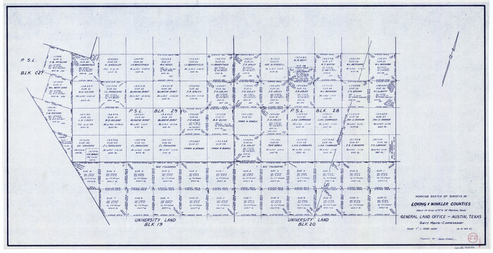
Loving County Working Sketch 22
1984

Ector County Working Sketch 31
1980
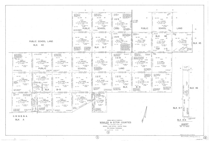
Winkler County Working Sketch 18
1980

Winkler County Working Sketch 17
1973
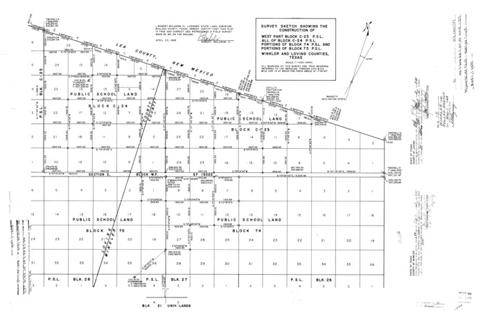
Winkler County Rolled Sketch 15
1968
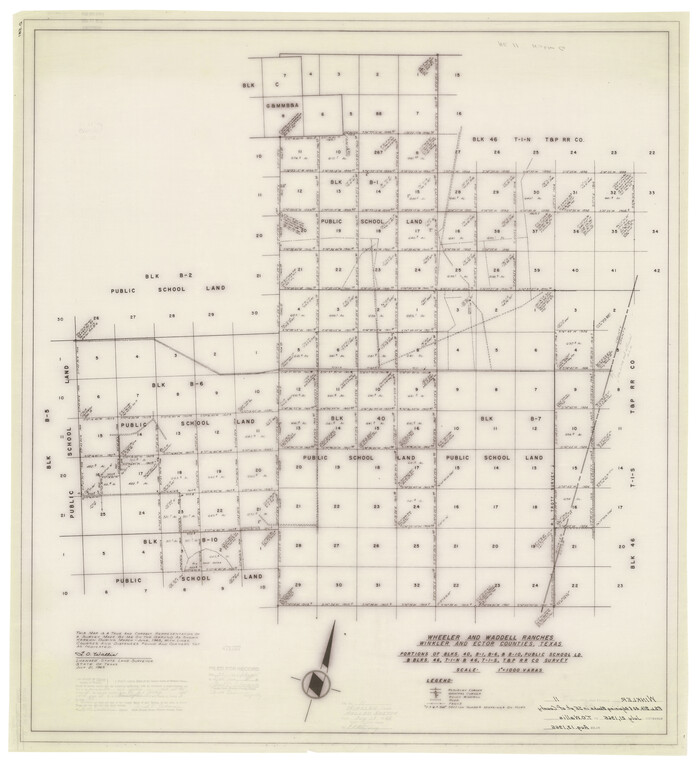
Winkler County Rolled Sketch 11
1965
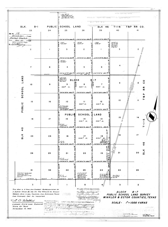
Winkler County Rolled Sketch 12
1965

Ward County Working Sketch 30
1964

Winkler County Working Sketch 16
1964

Ward County Working Sketch 28
1964

Winkler County Working Sketch 15
1964
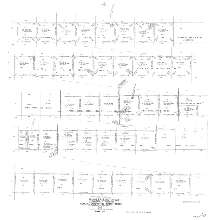
Winkler County Working Sketch 14
1961
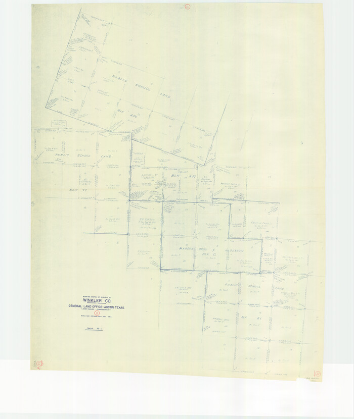
Winkler County Working Sketch 12
1961
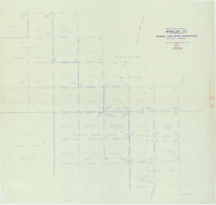
Winkler County Working Sketch 13
1961

General Highway Map, Winkler County, Texas
1961

General Highway Map, Winkler County, Texas
1961

Winkler County Working Sketch 11
1960
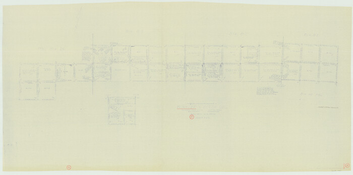
Winkler County Working Sketch 10
1960

Ector County Working Sketch 22
1959

Winkler County Rolled Sketch 10
1958
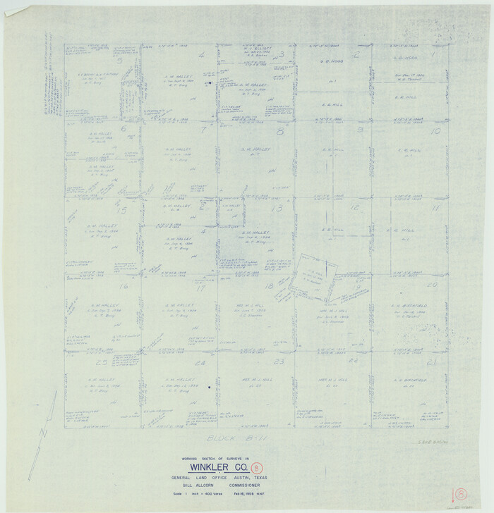
Winkler County Working Sketch 8
1958

Winkler County Working Sketch 7
1958

Winkler County Rolled Sketch 18
2017
-
Size
37.4 x 29.4 inches
-
Map/Doc
95289
-
Creation Date
2017

Winkler County Working Sketch 21
2015
-
Size
33.2 x 45.7 inches
-
Map/Doc
93728
-
Creation Date
2015

Loving County Rolled Sketch 13
2006
-
Size
43.6 x 45.0 inches
-
Map/Doc
83650
-
Creation Date
2006

Winkler County Sketch File 18
1999
-
Size
11.2 x 8.7 inches
-
Map/Doc
40517
-
Creation Date
1999

Winkler County Rolled Sketch 17
1999
-
Size
38.9 x 54.5 inches
-
Map/Doc
8277
-
Creation Date
1999

Winkler County Working Sketch 20
1990
-
Size
22.3 x 24.0 inches
-
Map/Doc
72614
-
Creation Date
1990

Andrews County Working Sketch 34
1990
-
Size
29.9 x 31.0 inches
-
Map/Doc
67080
-
Creation Date
1990

Winkler County Working Sketch 19
1990
-
Size
29.4 x 25.7 inches
-
Map/Doc
72613
-
Creation Date
1990

Loving County Working Sketch 22
1984
-
Size
18.3 x 34.9 inches
-
Map/Doc
70656
-
Creation Date
1984

Ector County Working Sketch 31
1980
-
Size
36.0 x 51.0 inches
-
Map/Doc
68874
-
Creation Date
1980

Winkler County Working Sketch 18
1980
-
Size
33.7 x 49.9 inches
-
Map/Doc
72612
-
Creation Date
1980

Winkler County Working Sketch 17
1973
-
Size
36.5 x 36.7 inches
-
Map/Doc
72611
-
Creation Date
1973

Winkler County Rolled Sketch 15
1968
-
Size
25.1 x 37.8 inches
-
Map/Doc
10305
-
Creation Date
1968

Winkler County Rolled Sketch 11
1965
-
Size
37.4 x 34.2 inches
-
Map/Doc
10152
-
Creation Date
1965

Winkler County Rolled Sketch 12
1965
-
Size
24.9 x 18.5 inches
-
Map/Doc
8279
-
Creation Date
1965

Ward County Working Sketch 30
1964
-
Size
118.5 x 43.4 inches
-
Map/Doc
72336
-
Creation Date
1964

Winkler County Working Sketch 16
1964
-
Size
27.7 x 35.8 inches
-
Map/Doc
72610
-
Creation Date
1964

Ward County Working Sketch 28
1964
-
Size
60.9 x 29.1 inches
-
Map/Doc
72334
-
Creation Date
1964

Winkler County Working Sketch 15
1964
-
Size
29.2 x 30.5 inches
-
Map/Doc
72609
-
Creation Date
1964

Winkler County Working Sketch 14
1961
-
Size
42.9 x 41.4 inches
-
Map/Doc
72608
-
Creation Date
1961

Winkler County Working Sketch 12
1961
-
Size
59.3 x 50.0 inches
-
Map/Doc
72606
-
Creation Date
1961

Winkler County Working Sketch 13
1961
-
Size
39.2 x 41.2 inches
-
Map/Doc
72607
-
Creation Date
1961

General Highway Map, Winkler County, Texas
1961
-
Size
18.2 x 24.8 inches
-
Map/Doc
79716
-
Creation Date
1961

General Highway Map, Winkler County, Texas
1961
-
Size
18.2 x 24.8 inches
-
Map/Doc
79717
-
Creation Date
1961

Winkler County Working Sketch 11
1960
-
Size
28.5 x 81.4 inches
-
Map/Doc
72605
-
Creation Date
1960

Winkler County Working Sketch 10
1960
-
Size
30.3 x 61.0 inches
-
Map/Doc
72604
-
Creation Date
1960

Ector County Working Sketch 22
1959
-
Size
24.2 x 36.6 inches
-
Map/Doc
68865
-
Creation Date
1959

Winkler County Rolled Sketch 10
1958
-
Size
29.4 x 55.9 inches
-
Map/Doc
10151
-
Creation Date
1958

Winkler County Working Sketch 8
1958
-
Size
31.9 x 30.7 inches
-
Map/Doc
72602
-
Creation Date
1958

Winkler County Working Sketch 7
1958
-
Size
45.4 x 30.2 inches
-
Map/Doc
72601
-
Creation Date
1958