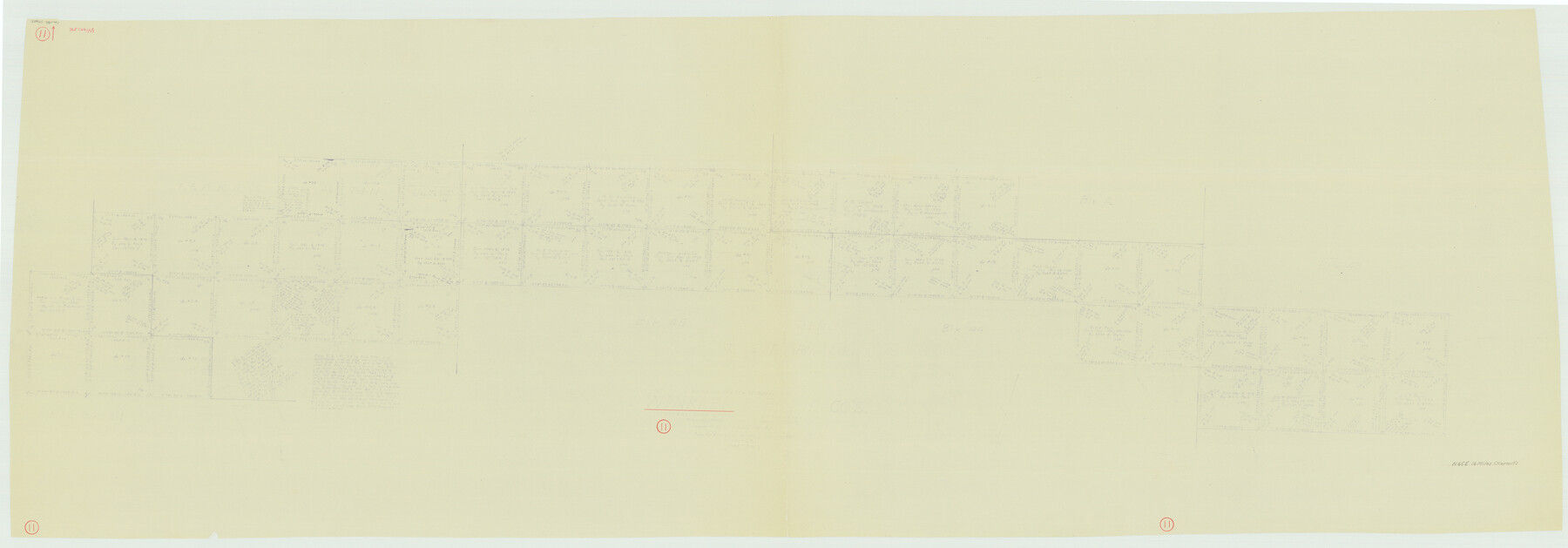
Winkler County Working Sketch 11
-
Map/Doc
72605
-
Collection
General Map Collection
-
Object Dates
2/9/1960 (Creation Date)
-
People and Organizations
Roy Buckholts (Draftsman)
-
Counties
Winkler Ector
-
Subjects
Surveying Working Sketch
-
Height x Width
28.5 x 81.4 inches
72.4 x 206.8 cm
-
Scale
1" = 600 varas
Part of: General Map Collection
Gregg County Sketch File 1A

Print $6.00
- Digital $50.00
Gregg County Sketch File 1A
1847
Size 8.3 x 7.6 inches
Map/Doc 24535
Travis County Sketch File 29

Print $20.00
- Digital $50.00
Travis County Sketch File 29
1880
Size 12.3 x 21.8 inches
Map/Doc 12459
Hardin County Rolled Sketch 3

Print $20.00
- Digital $50.00
Hardin County Rolled Sketch 3
1902
Size 20.1 x 17.0 inches
Map/Doc 6076
Aransas County Sketch File 20

Print $4.00
- Digital $50.00
Aransas County Sketch File 20
1896
Size 8.2 x 10.2 inches
Map/Doc 13155
Duval County Sketch File 33

Print $55.00
- Digital $50.00
Duval County Sketch File 33
1932
Size 14.4 x 8.8 inches
Map/Doc 21342
Nueces County Rolled Sketch 68A

Print $165.00
- Digital $50.00
Nueces County Rolled Sketch 68A
1980
Size 9.8 x 15.0 inches
Map/Doc 47898
Crane County Sketch File 16

Print $20.00
- Digital $50.00
Crane County Sketch File 16
Size 15.8 x 19.1 inches
Map/Doc 11209
Map of the Fort Worth & Denver City Railway

Print $40.00
- Digital $50.00
Map of the Fort Worth & Denver City Railway
1887
Size 22.2 x 79.5 inches
Map/Doc 64459
Flight Mission No. BRE-2P, Frame 81, Nueces County

Print $20.00
- Digital $50.00
Flight Mission No. BRE-2P, Frame 81, Nueces County
1956
Size 18.6 x 22.5 inches
Map/Doc 86776
Flight Mission No. BQR-13K, Frame 24, Brazoria County

Print $20.00
- Digital $50.00
Flight Mission No. BQR-13K, Frame 24, Brazoria County
1952
Size 18.9 x 22.4 inches
Map/Doc 84072
Harris County Rolled Sketch 98

Print $20.00
- Digital $50.00
Harris County Rolled Sketch 98
1992
Size 27.1 x 39.5 inches
Map/Doc 6136
Edwards County Working Sketch 100

Print $20.00
- Digital $50.00
Edwards County Working Sketch 100
1971
Size 31.5 x 34.2 inches
Map/Doc 68976
You may also like
San Jacinto River, Buff Lake Sheet 1/Caney Creek

Print $20.00
- Digital $50.00
San Jacinto River, Buff Lake Sheet 1/Caney Creek
1937
Size 18.7 x 37.6 inches
Map/Doc 65147
[T. & P. Blocks 32-36, Townships 3N, 4N and 5N]
![90630, [T. & P. Blocks 32-36, Townships 3N, 4N and 5N], Twichell Survey Records](https://historictexasmaps.com/wmedia_w700/maps/90630.tif.jpg)
Print $20.00
- Digital $50.00
[T. & P. Blocks 32-36, Townships 3N, 4N and 5N]
Size 35.5 x 24.6 inches
Map/Doc 90630
Kimble County

Print $40.00
- Digital $50.00
Kimble County
1890
Size 39.2 x 57.5 inches
Map/Doc 78435
Hudspeth County Rolled Sketch 23

Print $40.00
- Digital $50.00
Hudspeth County Rolled Sketch 23
Size 43.7 x 70.3 inches
Map/Doc 9207
Bowie County Working Sketch 7

Print $20.00
- Digital $50.00
Bowie County Working Sketch 7
1933
Size 25.1 x 12.7 inches
Map/Doc 67411
[Blocks R31E-R33E, Townships 12E-14E]
![92041, [Blocks R31E-R33E, Townships 12E-14E], Twichell Survey Records](https://historictexasmaps.com/wmedia_w700/maps/92041-1.tif.jpg)
Print $20.00
- Digital $50.00
[Blocks R31E-R33E, Townships 12E-14E]
Size 22.9 x 21.4 inches
Map/Doc 92041
Nolan County Sketch File 16

Print $20.00
- Digital $50.00
Nolan County Sketch File 16
1938
Size 18.9 x 23.4 inches
Map/Doc 42166
Crane County Sketch File 3c

Print $6.00
- Digital $50.00
Crane County Sketch File 3c
1884
Size 12.8 x 7.9 inches
Map/Doc 19559
Presidio County Boundary File 3

Print $33.00
- Digital $50.00
Presidio County Boundary File 3
Size 14.1 x 8.5 inches
Map/Doc 58058
Caldwell County Sketch File 4

Print $8.00
- Digital $50.00
Caldwell County Sketch File 4
Size 8.8 x 6.9 inches
Map/Doc 35831
Burleson County Working Sketch 1

Print $20.00
- Digital $50.00
Burleson County Working Sketch 1
1928
Size 23.4 x 17.4 inches
Map/Doc 67720
Jim Hogg County Sketch File 3

Print $6.00
- Digital $50.00
Jim Hogg County Sketch File 3
1926
Size 11.0 x 8.6 inches
Map/Doc 28401