
Zavala County Working Sketch 31
2019

Medina County Sketch File 21
2002

Frio County Sketch File 22
1994
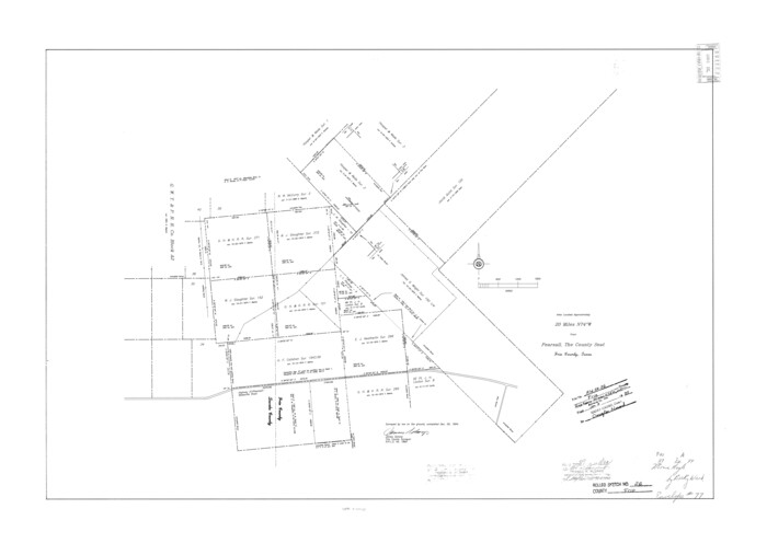
Frio County Rolled Sketch 26
1994
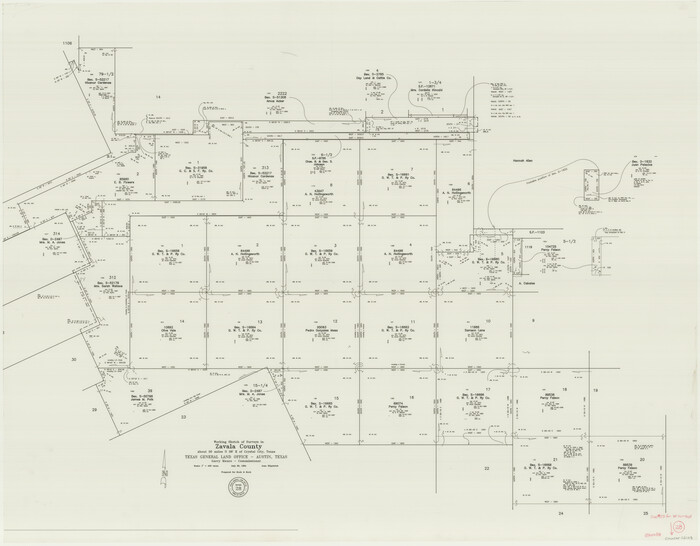
Zavala County Working Sketch 28
1994

Zavala County Working Sketch 29
1994
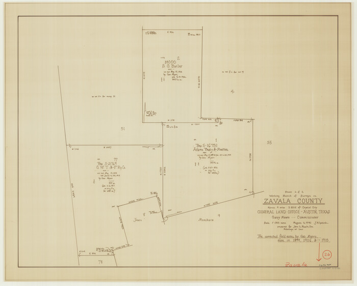
Zavala County Working Sketch 26
1990
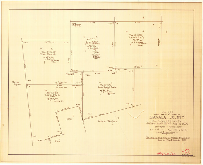
Zavala County Working Sketch 27
1990

Zavala County Working Sketch 30
1989

Frio County Working Sketch 25
1989
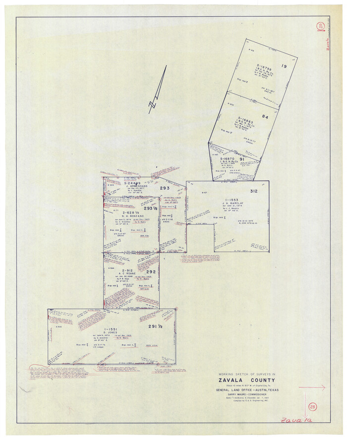
Zavala County Working Sketch 25
1984

Zavala County Working Sketch 24
1980

Dimmit County Working Sketch 49
1980
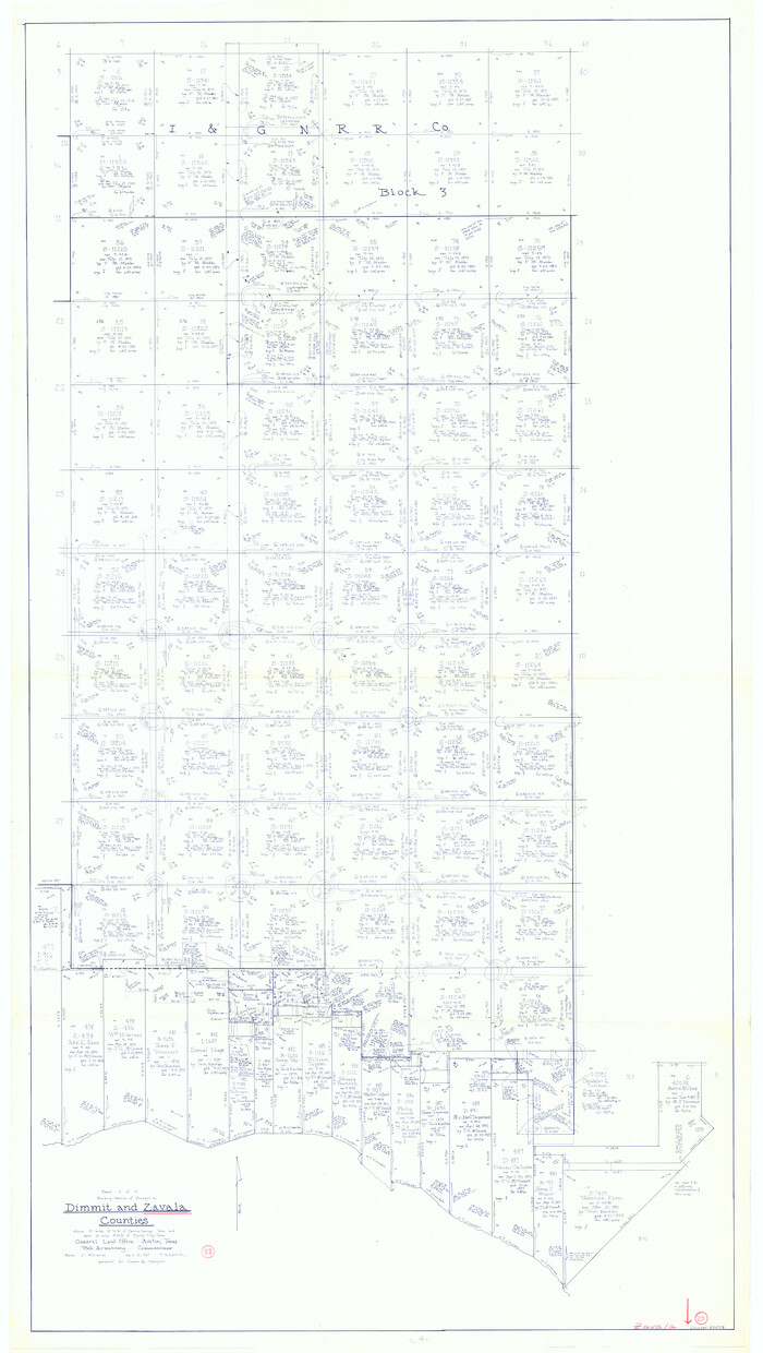
Zavala County Working Sketch 23
1980
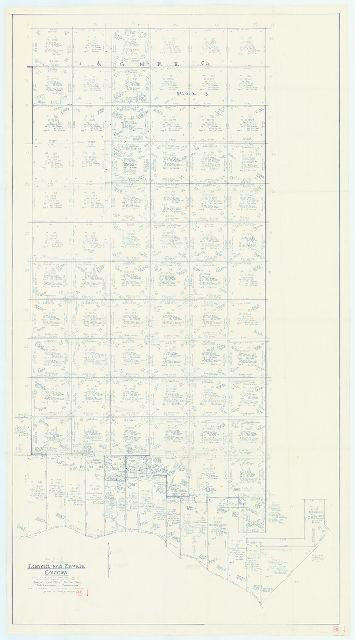
Dimmit County Working Sketch 48
1980
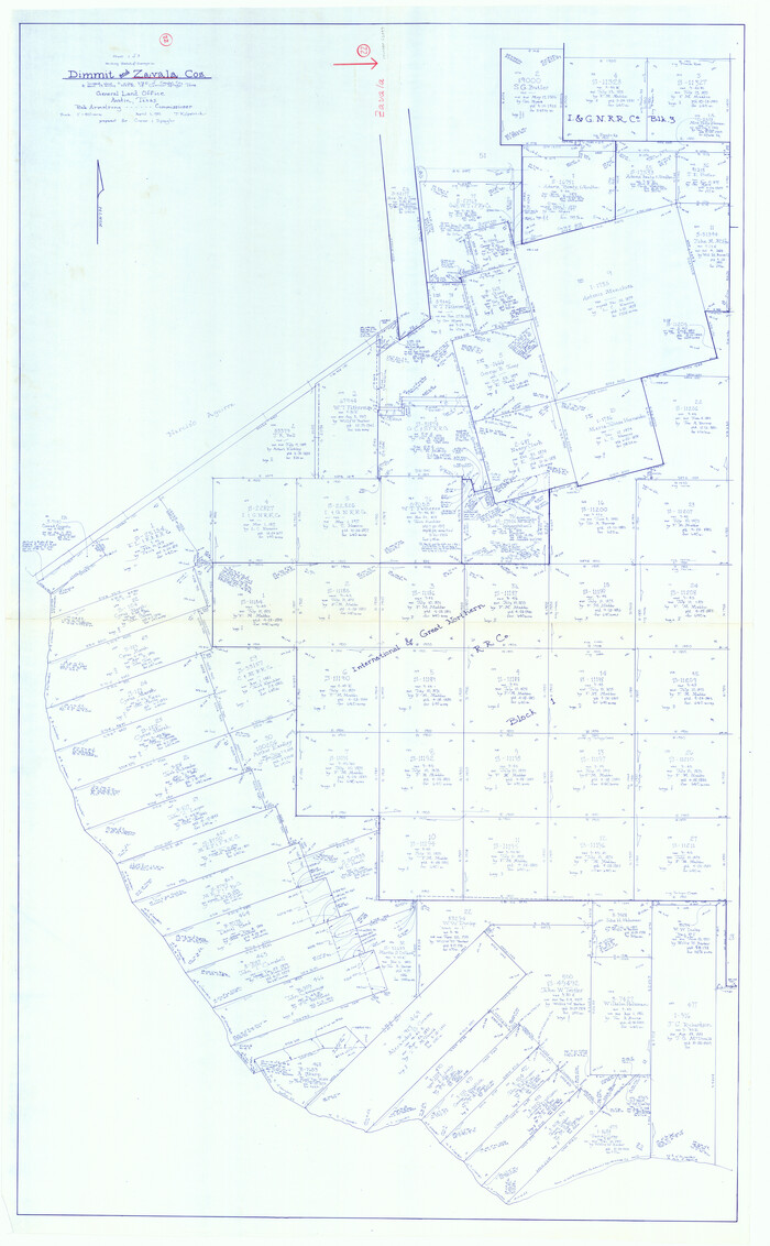
Zavala County Working Sketch 22
1980
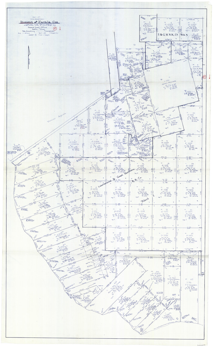
Dimmit County Working Sketch 47
1980
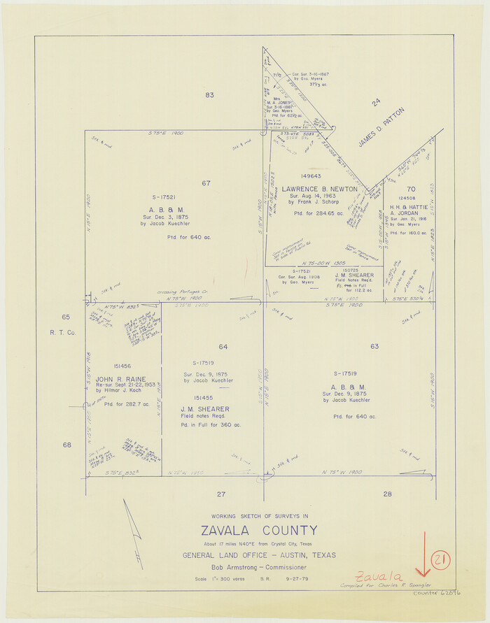
Zavala County Working Sketch 21
1979

Zavala County Working Sketch 19
1978
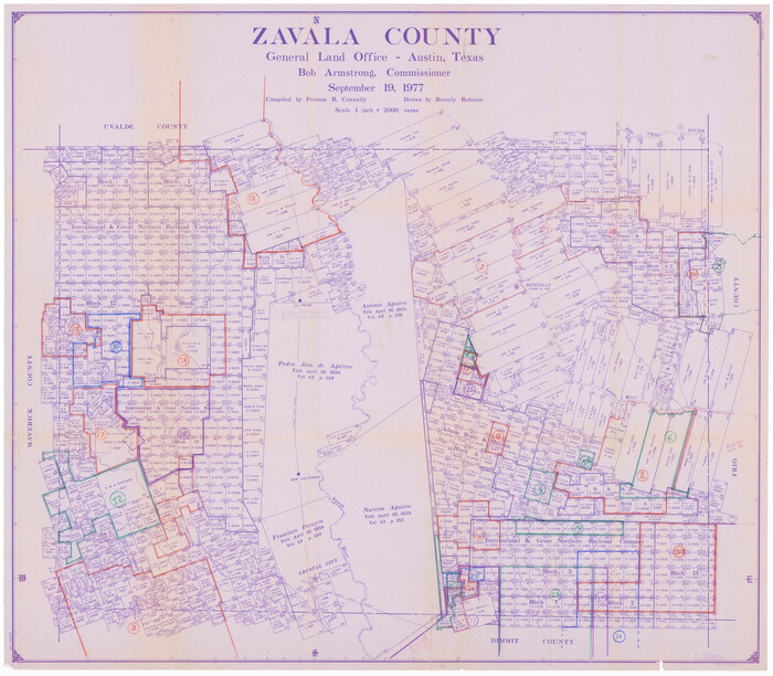
Zavala County Working Sketch Graphic Index
1977
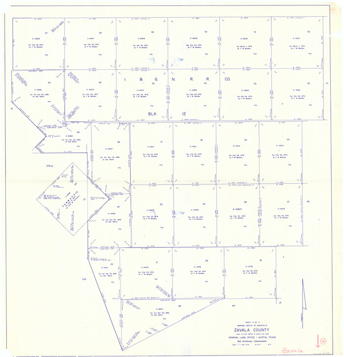
Zavala County Working Sketch 18
1977
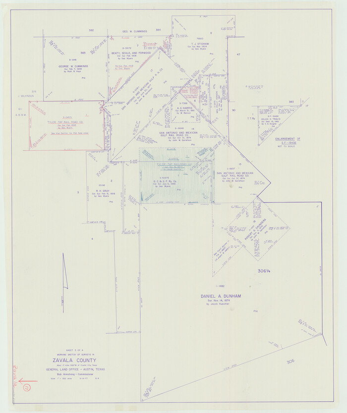
Zavala County Working Sketch 17
1977

Dimmit County Working Sketch 42
1977
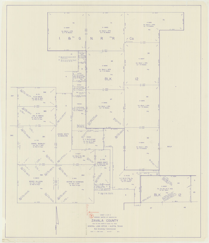
Zavala County Working Sketch 20
1977
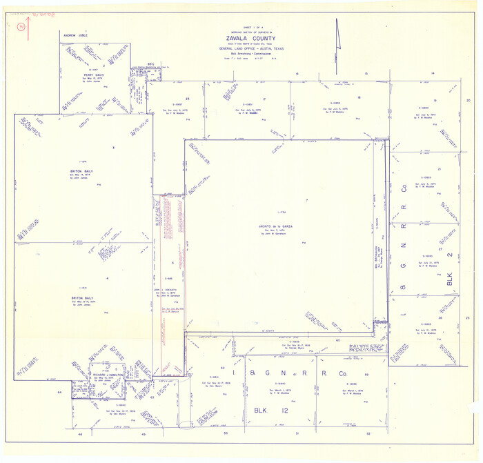
Zavala County Working Sketch 16
1977

Zavala County Working Sketch 15
1977

Zavala County Working Sketch 31
2019
-
Size
36.0 x 24.2 inches
-
Map/Doc
95407
-
Creation Date
2019

Texas Hill Country Trail Region
2017
-
Size
18.2 x 24.3 inches
-
Map/Doc
96871
-
Creation Date
2017

Medina County Sketch File 21
2002
-
Size
11.2 x 8.7 inches
-
Map/Doc
76343
-
Creation Date
2002

Frio County Sketch File 22
1994
-
Size
11.4 x 8.6 inches
-
Map/Doc
23162
-
Creation Date
1994

Frio County Rolled Sketch 26
1994
-
Size
28.1 x 38.9 inches
-
Map/Doc
5926
-
Creation Date
1994

Zavala County Working Sketch 28
1994
-
Size
34.0 x 43.5 inches
-
Map/Doc
62103
-
Creation Date
1994

Zavala County Working Sketch 29
1994
-
Size
33.1 x 42.9 inches
-
Map/Doc
62104
-
Creation Date
1994

Zavala County Working Sketch 26
1990
-
Size
22.4 x 27.9 inches
-
Map/Doc
62101
-
Creation Date
1990

Zavala County Working Sketch 27
1990
-
Size
22.3 x 27.5 inches
-
Map/Doc
62102
-
Creation Date
1990

Zavala County Working Sketch 30
1989
-
Size
36.8 x 28.1 inches
-
Map/Doc
62105
-
Creation Date
1989

Frio County Working Sketch 25
1989
-
Size
35.4 x 50.0 inches
-
Map/Doc
69299
-
Creation Date
1989

Zavala County Working Sketch 25
1984
-
Size
37.7 x 30.0 inches
-
Map/Doc
62100
-
Creation Date
1984

Zavala County Working Sketch 24
1980
-
Size
75.6 x 42.8 inches
-
Map/Doc
62099
-
Creation Date
1980

Dimmit County Working Sketch 49
1980
-
Size
78.8 x 44.7 inches
-
Map/Doc
68710
-
Creation Date
1980

Zavala County Working Sketch 23
1980
-
Size
77.3 x 43.6 inches
-
Map/Doc
62098
-
Creation Date
1980

Dimmit County Working Sketch 48
1980
-
Size
78.7 x 43.7 inches
-
Map/Doc
68709
-
Creation Date
1980

Zavala County Working Sketch 22
1980
-
Size
70.4 x 43.5 inches
-
Map/Doc
62097
-
Creation Date
1980

Dimmit County Working Sketch 47
1980
-
Size
71.3 x 43.8 inches
-
Map/Doc
68708
-
Creation Date
1980

Zavala County Working Sketch 21
1979
-
Size
23.0 x 18.0 inches
-
Map/Doc
62096
-
Creation Date
1979

Zavala County Working Sketch 19
1978
-
Size
16.2 x 59.1 inches
-
Map/Doc
62094
-
Creation Date
1978
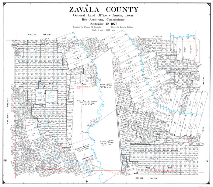
Zavala County
1977
-
Size
43.9 x 49.2 inches
-
Map/Doc
73334
-
Creation Date
1977

Zavala County
1977
-
Size
36.6 x 41.6 inches
-
Map/Doc
77468
-
Creation Date
1977
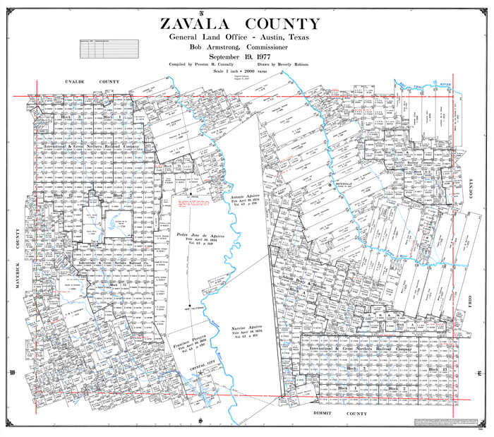
Zavala County
1977
-
Size
43.6 x 49.3 inches
-
Map/Doc
95684
-
Creation Date
1977

Zavala County Working Sketch Graphic Index
1977
-
Size
42.2 x 48.2 inches
-
Map/Doc
76751
-
Creation Date
1977

Zavala County Working Sketch 18
1977
-
Size
43.8 x 42.1 inches
-
Map/Doc
62093
-
Creation Date
1977

Zavala County Working Sketch 17
1977
-
Size
40.7 x 34.1 inches
-
Map/Doc
62092
-
Creation Date
1977

Dimmit County Working Sketch 42
1977
-
Size
33.5 x 39.6 inches
-
Map/Doc
68703
-
Creation Date
1977

Zavala County Working Sketch 20
1977
-
Size
40.0 x 34.5 inches
-
Map/Doc
62095
-
Creation Date
1977

Zavala County Working Sketch 16
1977
-
Size
41.3 x 43.1 inches
-
Map/Doc
62091
-
Creation Date
1977

Zavala County Working Sketch 15
1977
-
Size
27.8 x 23.9 inches
-
Map/Doc
62090
-
Creation Date
1977