
Dimmit County Rolled Sketch 12
1942

Dimmit County Sketch File 14
1884
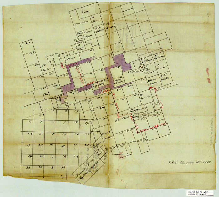
Dimmit County Sketch File 27

Dimmit County Sketch File 31
1894

Dimmit County Sketch File 5
1849
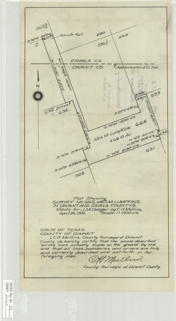
Dimmit County Sketch File 58
1951

Dimmit County Working Sketch 42
1977
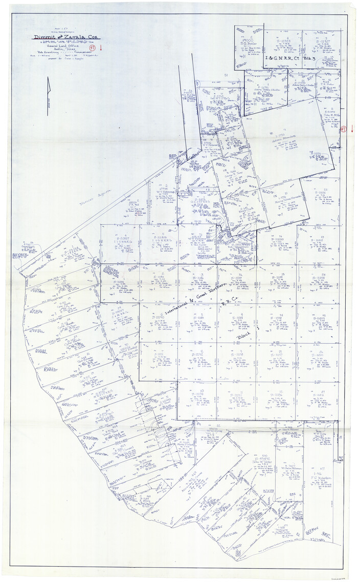
Dimmit County Working Sketch 47
1980
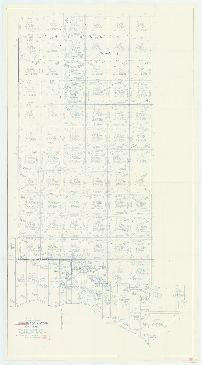
Dimmit County Working Sketch 48
1980

Dimmit County Working Sketch 49
1980
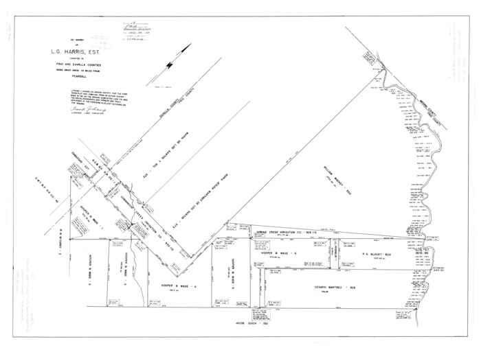
Frio County Rolled Sketch 17
1953
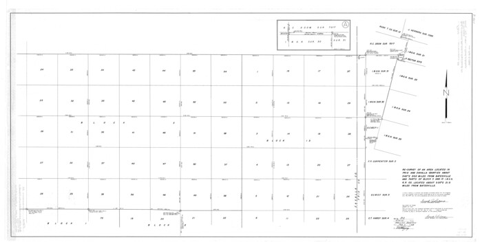
Frio County Rolled Sketch 20
1956
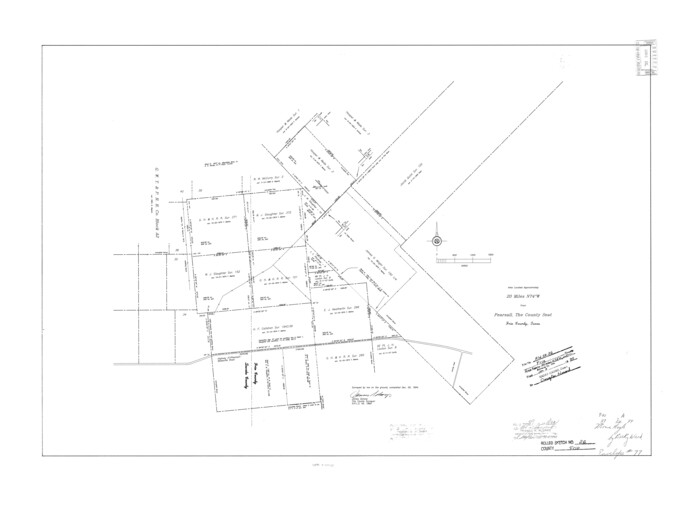
Frio County Rolled Sketch 26
1994

Frio County Sketch File 10
1906

Frio County Sketch File 22
1994
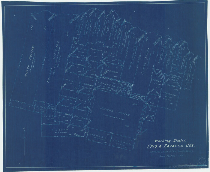
Frio County Working Sketch 1
1906
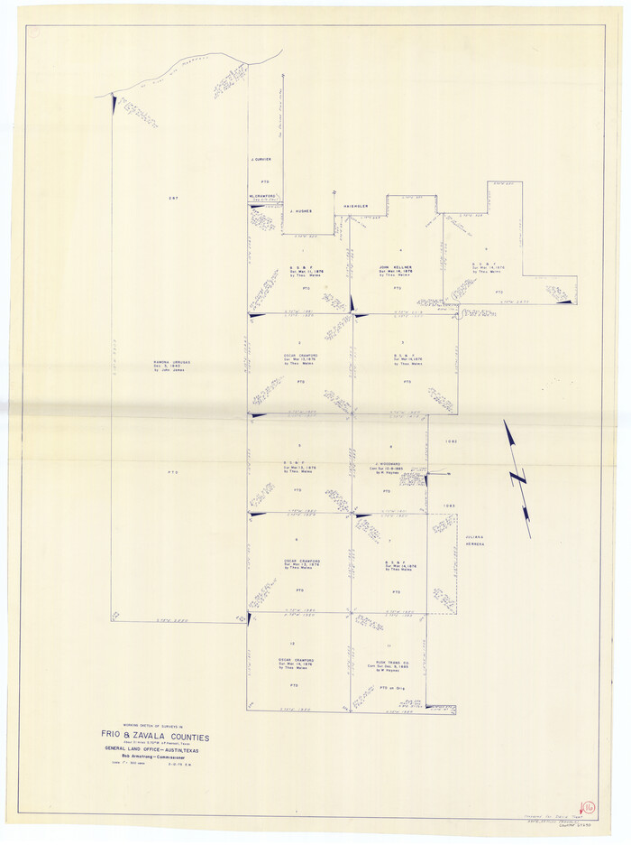
Frio County Working Sketch 16
1975

Frio County Working Sketch 25
1989

General Highway Map, Dimmit County, Zavala County, Texas
1961

General Highway Map, Maverick County, Zavala County, Texas
1940

Kinney County Working Sketch 19
1948

La Salle County Sketch File 35

Map of Bexar County
1845

Map of Bexar County
1845

Map of Bexar County
1845

Map of Bexar County
1845

Map of Bexar County
1845

Map of Zavalla County
1862
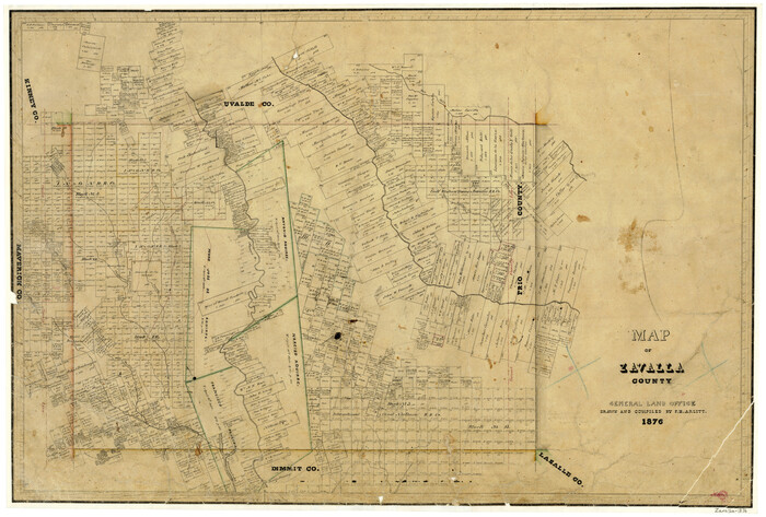
Map of Zavalla County
1876

Map of the Western Part of Bexar District
1849

Dimmit County Rolled Sketch 12
1942
-
Size
19.8 x 21.5 inches
-
Map/Doc
5721
-
Creation Date
1942

Dimmit County Sketch File 14
1884
-
Size
35.7 x 23.3 inches
-
Map/Doc
11342
-
Creation Date
1884

Dimmit County Sketch File 27
-
Size
16.5 x 18.3 inches
-
Map/Doc
11349

Dimmit County Sketch File 31
1894
-
Size
12.7 x 17.3 inches
-
Map/Doc
11352
-
Creation Date
1894

Dimmit County Sketch File 5
1849
-
Size
8.6 x 8.0 inches
-
Map/Doc
21064
-
Creation Date
1849

Dimmit County Sketch File 58
1951
-
Size
18.0 x 9.8 inches
-
Map/Doc
11361
-
Creation Date
1951

Dimmit County Working Sketch 42
1977
-
Size
33.5 x 39.6 inches
-
Map/Doc
68703
-
Creation Date
1977

Dimmit County Working Sketch 47
1980
-
Size
71.3 x 43.8 inches
-
Map/Doc
68708
-
Creation Date
1980

Dimmit County Working Sketch 48
1980
-
Size
78.7 x 43.7 inches
-
Map/Doc
68709
-
Creation Date
1980

Dimmit County Working Sketch 49
1980
-
Size
78.8 x 44.7 inches
-
Map/Doc
68710
-
Creation Date
1980

Frio County Rolled Sketch 17
1953
-
Size
32.4 x 44.5 inches
-
Map/Doc
8907
-
Creation Date
1953

Frio County Rolled Sketch 20
1956
-
Size
31.0 x 59.4 inches
-
Map/Doc
8910
-
Creation Date
1956

Frio County Rolled Sketch 26
1994
-
Size
28.1 x 38.9 inches
-
Map/Doc
5926
-
Creation Date
1994

Frio County Sketch File 10
1906
-
Size
19.3 x 23.2 inches
-
Map/Doc
11518
-
Creation Date
1906

Frio County Sketch File 22
1994
-
Size
11.4 x 8.6 inches
-
Map/Doc
23162
-
Creation Date
1994

Frio County Working Sketch 1
1906
-
Size
19.0 x 23.2 inches
-
Map/Doc
69275
-
Creation Date
1906

Frio County Working Sketch 16
1975
-
Size
52.7 x 39.4 inches
-
Map/Doc
69290
-
Creation Date
1975

Frio County Working Sketch 25
1989
-
Size
35.4 x 50.0 inches
-
Map/Doc
69299
-
Creation Date
1989

General Highway Map, Dimmit County, Zavala County, Texas
1961
-
Size
18.2 x 24.6 inches
-
Map/Doc
79444
-
Creation Date
1961

General Highway Map, Maverick County, Zavala County, Texas
1940
-
Size
18.6 x 24.7 inches
-
Map/Doc
79189
-
Creation Date
1940

Kinney County Working Sketch 19
1948
-
Size
32.0 x 35.7 inches
-
Map/Doc
70201
-
Creation Date
1948

La Salle County Sketch File 35
-
Size
12.1 x 19.7 inches
-
Map/Doc
29587

Map of Bexar County
1845
-
Size
90.6 x 81.0 inches
-
Map/Doc
82242
-
Creation Date
1845

Map of Bexar County
1845
-
Size
47.4 x 44.9 inches
-
Map/Doc
87234
-
Creation Date
1845

Map of Bexar County
1845
-
Size
47.5 x 41.7 inches
-
Map/Doc
87235
-
Creation Date
1845

Map of Bexar County
1845
-
Size
49.0 x 46.5 inches
-
Map/Doc
87236
-
Creation Date
1845

Map of Bexar County
1845
-
Size
48.8 x 43.0 inches
-
Map/Doc
87237
-
Creation Date
1845

Map of Zavalla County
1862
-
Size
24.2 x 20.5 inches
-
Map/Doc
4180
-
Creation Date
1862

Map of Zavalla County
1876
-
Size
22.5 x 33.2 inches
-
Map/Doc
4181
-
Creation Date
1876

Map of the Western Part of Bexar District
1849
-
Size
64.0 x 54.3 inches
-
Map/Doc
16944
-
Creation Date
1849