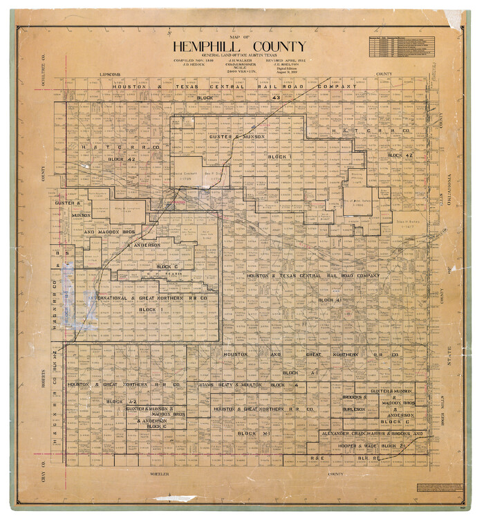
Map of Hemphill County
1899
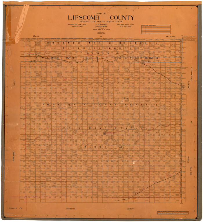
Map of Lipscomb County
1899
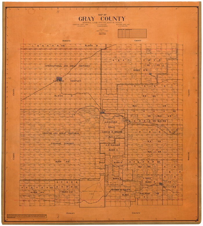
Map of Gray County
1900
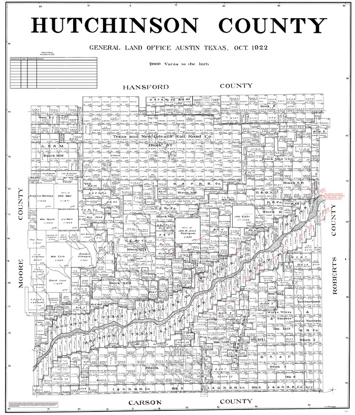
Hutchinson County
1922

Map of Hemphill County
1899
-
Size
41.2 x 38.5 inches
-
Map/Doc
95527
-
Creation Date
1899

Map of Lipscomb County
1899
-
Size
42.2 x 38.9 inches
-
Map/Doc
95572
-
Creation Date
1899
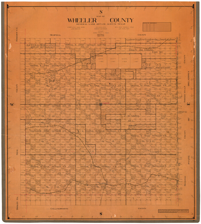
Wheeler County
1899
-
Size
42.2 x 37.9 inches
-
Map/Doc
95672
-
Creation Date
1899

Map of Gray County
1900
-
Size
43.4 x 40.5 inches
-
Map/Doc
95511
-
Creation Date
1900

Nueces County
1913
-
Size
26.9 x 35.9 inches
-
Map/Doc
95602
-
Creation Date
1913
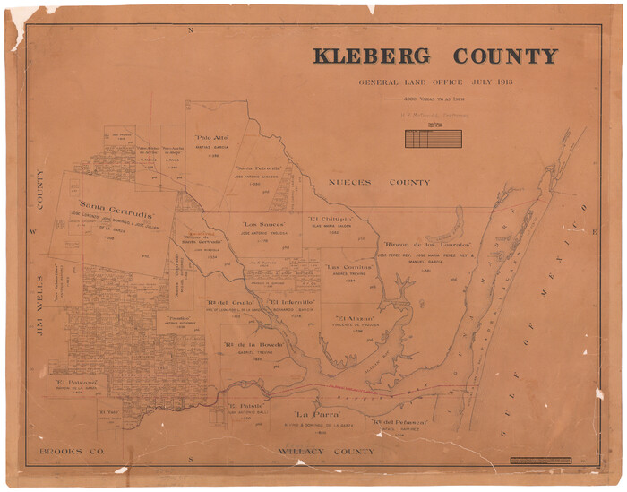
Kleberg County
1913
-
Size
27.0 x 33.9 inches
-
Map/Doc
95560
-
Creation Date
1913
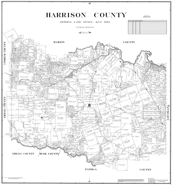
Harrison County
1920
-
Size
43.8 x 40.8 inches
-
Map/Doc
95523
-
Creation Date
1920

Jackson County
1920
-
Size
46.9 x 40.1 inches
-
Map/Doc
95541
-
Creation Date
1920
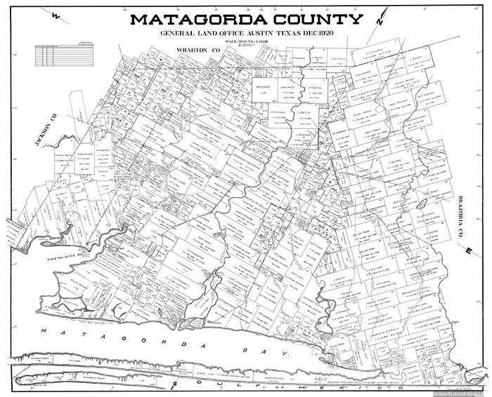
Matagorda County
1920
-
Size
41.6 x 49.7 inches
-
Map/Doc
95582
-
Creation Date
1920

Sabine County
1920
-
Size
45.7 x 36.1 inches
-
Map/Doc
95631
-
Creation Date
1920
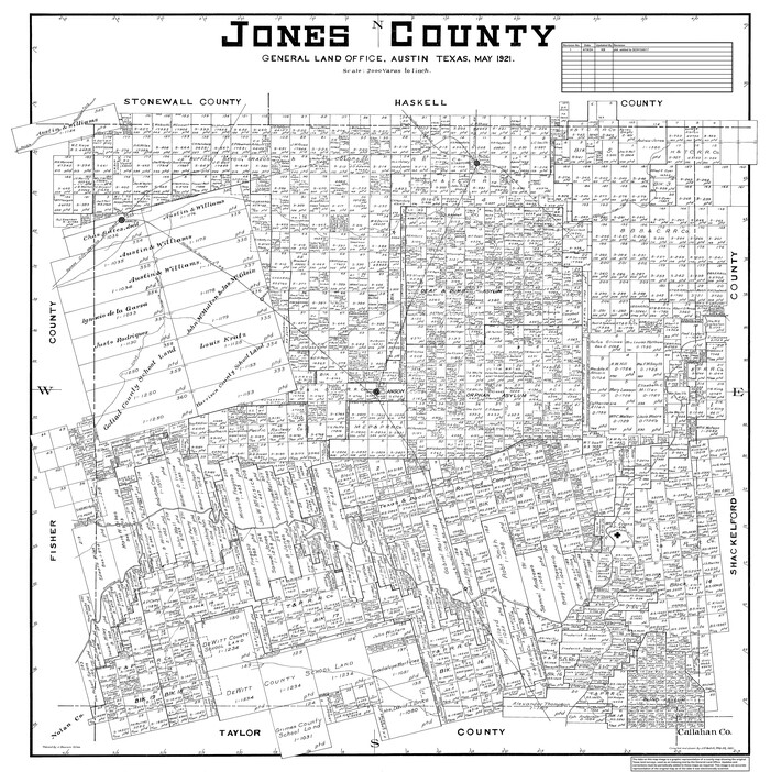
Jones County
1921
-
Size
39.9 x 37.8 inches
-
Map/Doc
95550
-
Creation Date
1921

Karnes County
1921
-
Size
44.3 x 39.6 inches
-
Map/Doc
95551
-
Creation Date
1921
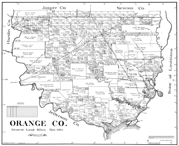
Orange Co.
1921
-
Size
25.8 x 31.6 inches
-
Map/Doc
95605
-
Creation Date
1921
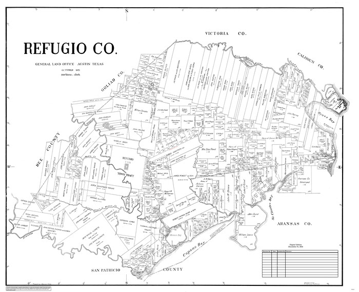
Refugio Co.
1921
-
Size
41.6 x 49.5 inches
-
Map/Doc
95625
-
Creation Date
1921
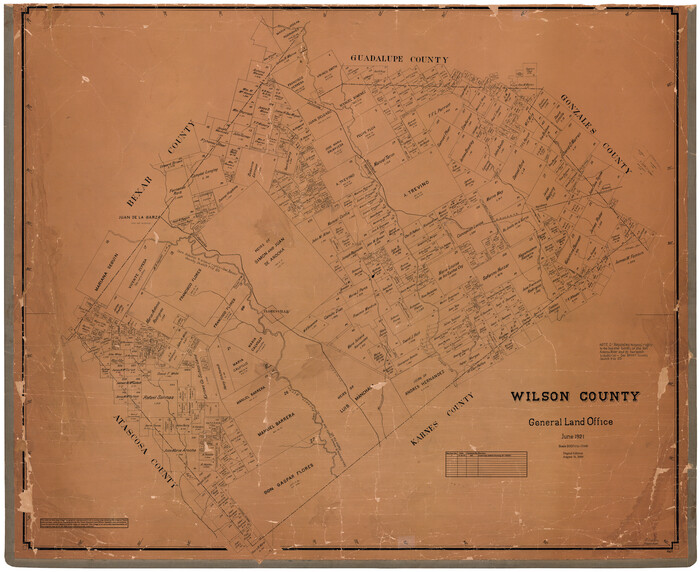
Wilson County
1921
-
Size
39.9 x 48.8 inches
-
Map/Doc
95677
-
Creation Date
1921
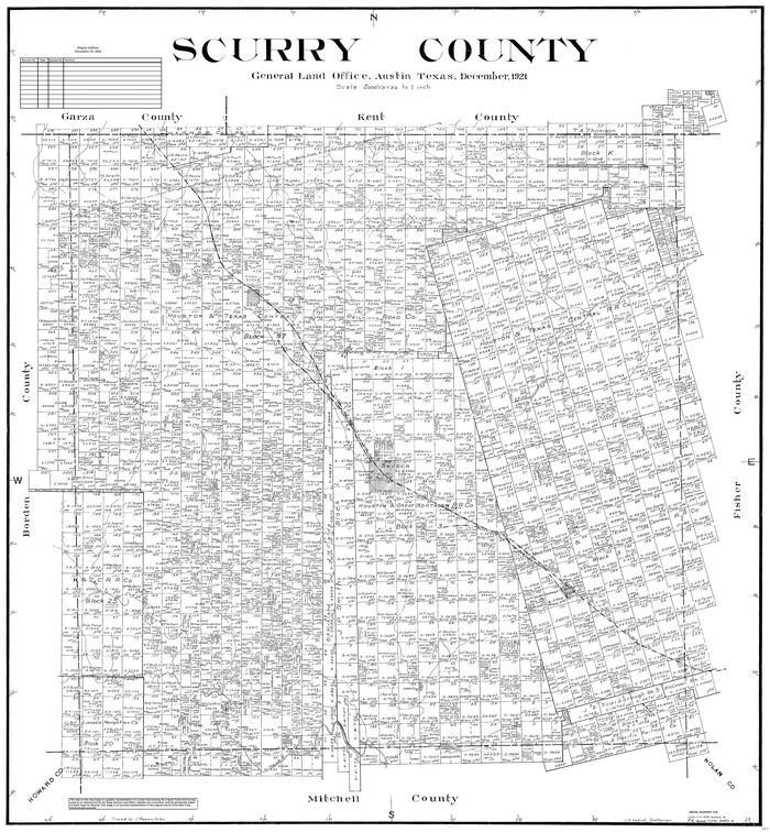
Scurry County
1921
-
Size
42.4 x 39.1 inches
-
Map/Doc
95637
-
Creation Date
1921
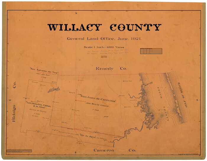
Willacy County
1921
-
Size
25.3 x 32.5 inches
-
Map/Doc
95675
-
Creation Date
1921
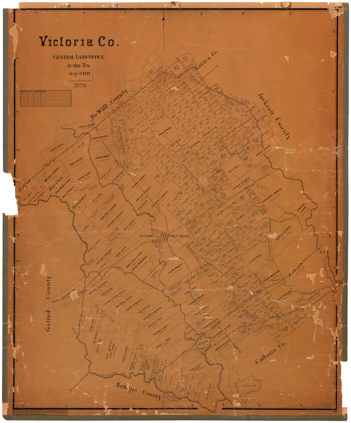
Victoria Co.
1921
-
Size
48.0 x 39.9 inches
-
Map/Doc
95663
-
Creation Date
1921
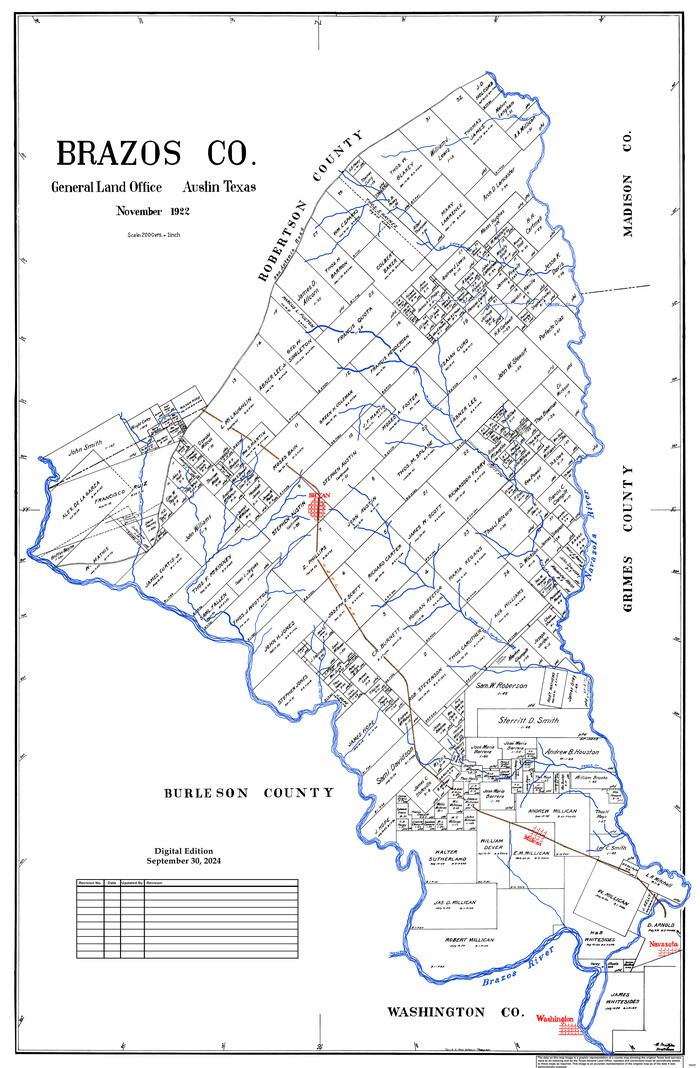
Brazos Co.
1922
-
Size
43.8 x 27.9 inches
-
Map/Doc
95435
-
Creation Date
1922
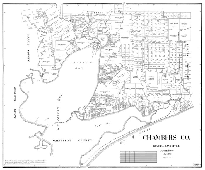
Chambers Co.
1922
-
Size
38.8 x 45.7 inches
-
Map/Doc
95452
-
Creation Date
1922

Hutchinson County
1922
-
Size
45.4 x 37.6 inches
-
Map/Doc
95538
-
Creation Date
1922
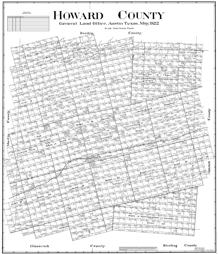
Howard County
1922
-
Size
42.3 x 36.2 inches
-
Map/Doc
95535
-
Creation Date
1922
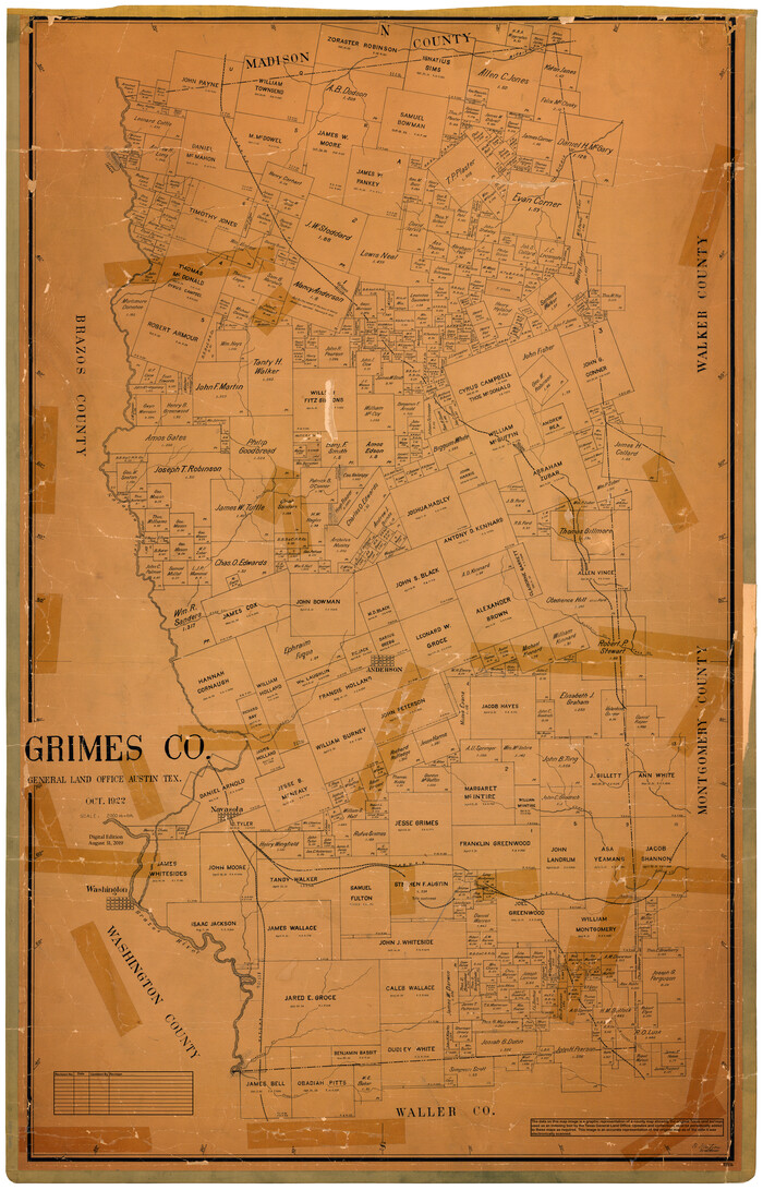
Grimes Co.
1922
-
Size
48.1 x 30.9 inches
-
Map/Doc
95514
-
Creation Date
1922

Madison Co.
1922
-
Size
30.2 x 49.9 inches
-
Map/Doc
95578
-
Creation Date
1922

Hartley County
1923
-
Size
42.1 x 49.5 inches
-
Map/Doc
95524
-
Creation Date
1923

Knox County
1923
-
Size
45.2 x 40.7 inches
-
Map/Doc
95561
-
Creation Date
1923
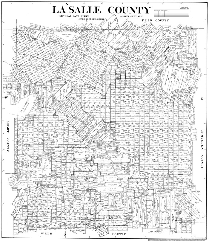
La Salle County
1923
-
Size
48.5 x 43.5 inches
-
Map/Doc
95562
-
Creation Date
1923

Burnet Co.
1924
-
Size
45.4 x 38.4 inches
-
Map/Doc
95443
-
Creation Date
1924
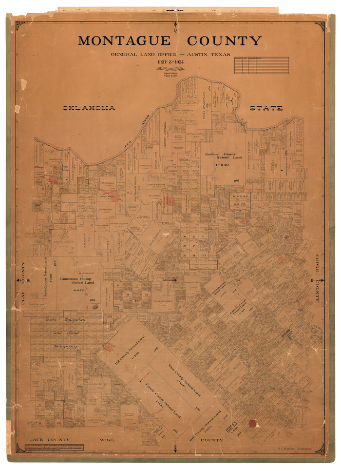
Montague County
1924
-
Size
47.9 x 34.7 inches
-
Map/Doc
95593
-
Creation Date
1924
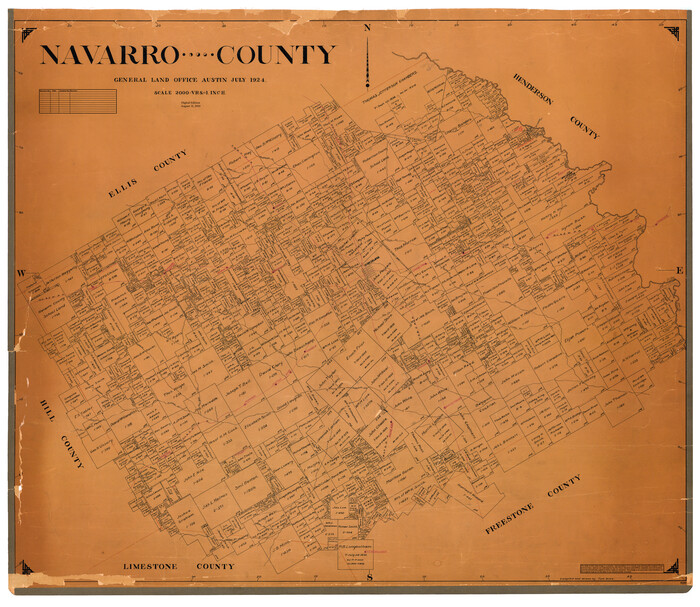
Navarro County
1924
-
Size
42.5 x 49.0 inches
-
Map/Doc
95599
-
Creation Date
1924