
Northeast Part of Webb County
1986

Northwest Part of Webb County
1984

South Part of Webb County
1984

Northwest Part Crockett County
1983

Central Part of Jeff Davis Co.
1982

West Part of Jeff Davis Co.
1977

East Part of Liberty Co.
1977
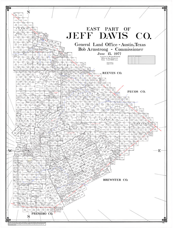
East Part of Jeff Davis Co.
1977
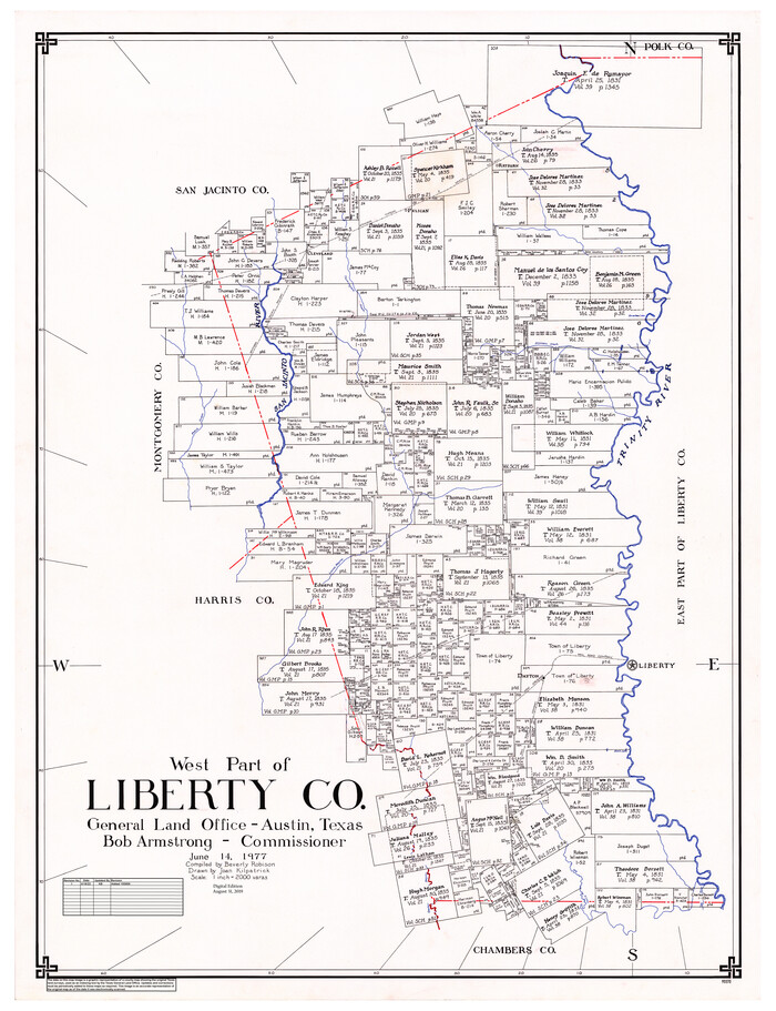
West Part of Liberty Co.
1977

South Part Crockett County
1977

North Part of El Paso Co.
1977

South Part of El Paso Co.
1977

Henderson County
1988
-
Size
35.3 x 69.7 inches
-
Map/Doc
95528
-
Creation Date
1988

Freestone County
1988
-
Size
49.0 x 43.4 inches
-
Map/Doc
95502
-
Creation Date
1988
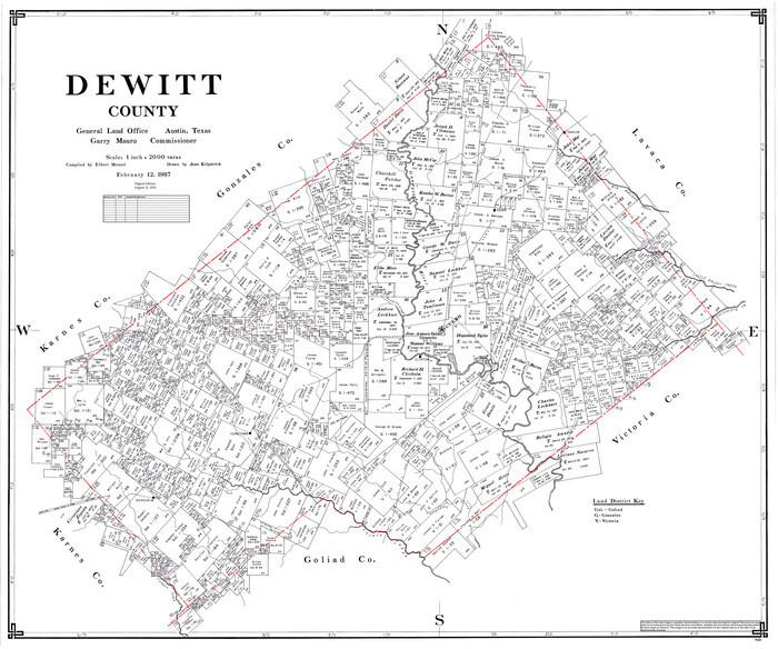
DeWitt County
1987
-
Size
42.1 x 50.6 inches
-
Map/Doc
95481
-
Creation Date
1987

San Saba County
1987
-
Size
43.5 x 47.3 inches
-
Map/Doc
95635
-
Creation Date
1987

Gonzales County
1986
-
Size
42.2 x 55.8 inches
-
Map/Doc
95510
-
Creation Date
1986

Northeast Part of Webb County
1986
-
Size
37.7 x 50.0 inches
-
Map/Doc
95668
-
Creation Date
1986

Northwest Part of Webb County
1984
-
Size
43.2 x 52.9 inches
-
Map/Doc
95669
-
Creation Date
1984

South Part of Webb County
1984
-
Size
44.1 x 64.9 inches
-
Map/Doc
95670
-
Creation Date
1984

Northwest Part Crockett County
1983
-
Size
37.3 x 48.3 inches
-
Map/Doc
95470
-
Creation Date
1983
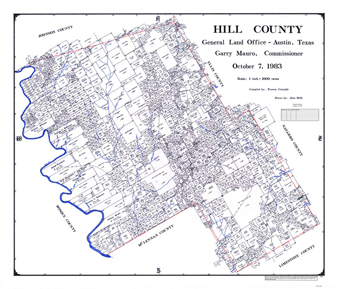
Hill County
1983
-
Size
44.2 x 51.1 inches
-
Map/Doc
95530
-
Creation Date
1983

Central Part of Jeff Davis Co.
1982
-
Size
56.3 x 43.9 inches
-
Map/Doc
95543
-
Creation Date
1982
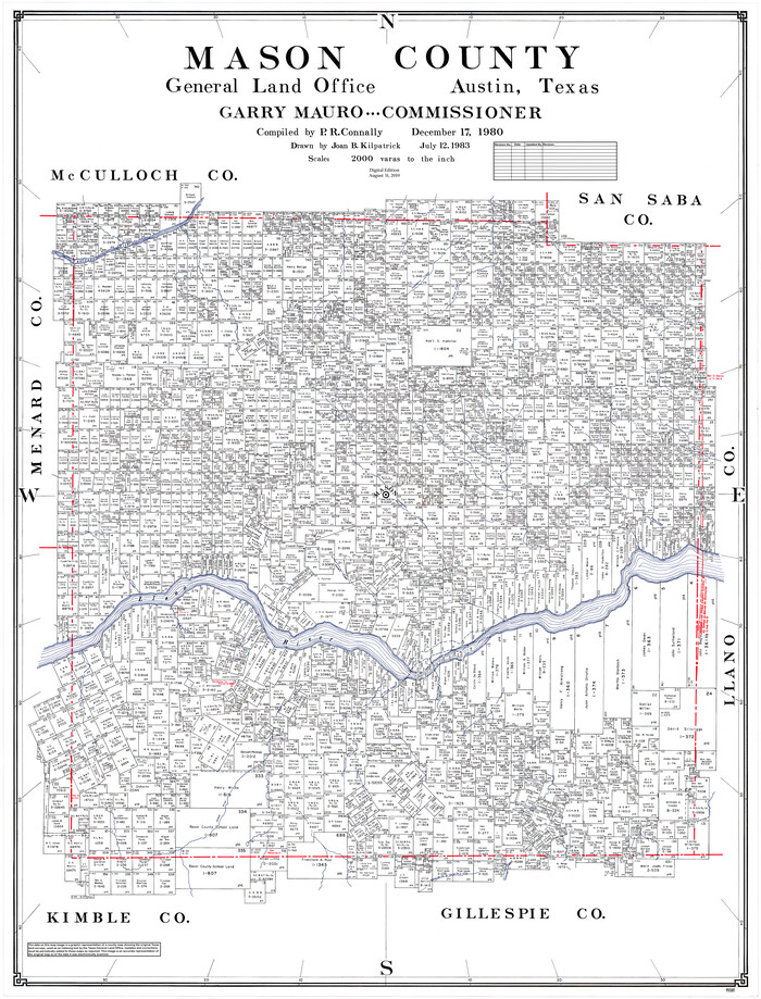
Mason County
1980
-
Size
48.1 x 36.9 inches
-
Map/Doc
95581
-
Creation Date
1980

Kenedy Co.
1978
-
Size
48.0 x 36.9 inches
-
Map/Doc
95554
-
Creation Date
1978
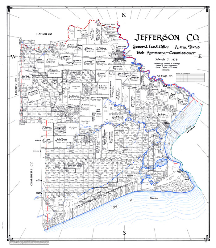
Jefferson Co.
1978
-
Size
49.3 x 43.5 inches
-
Map/Doc
95546
-
Creation Date
1978

Fayette County
1978
-
Size
43.6 x 56.1 inches
-
Map/Doc
95496
-
Creation Date
1978

Childress Co.
1978
-
Size
47.3 x 36.0 inches
-
Map/Doc
95454
-
Creation Date
1978

Burleson Co.
1978
-
Size
35.7 x 46.8 inches
-
Map/Doc
95442
-
Creation Date
1978
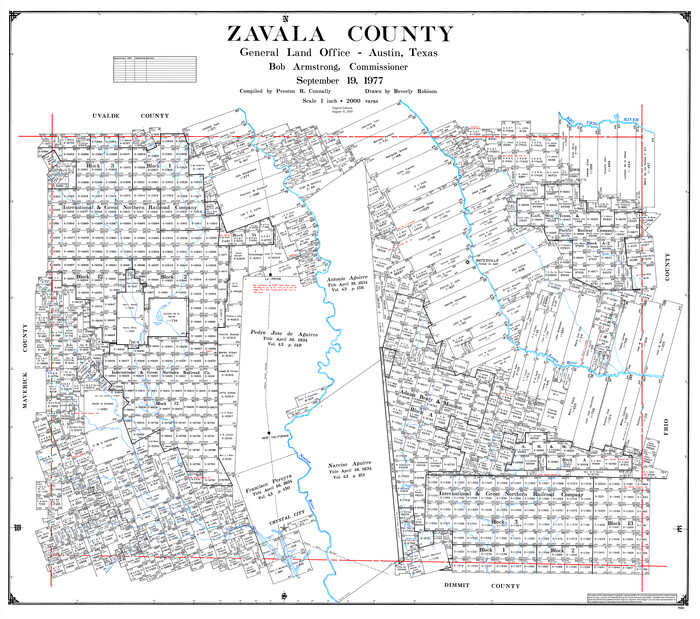
Zavala County
1977
-
Size
43.6 x 49.3 inches
-
Map/Doc
95684
-
Creation Date
1977

West Part of Jeff Davis Co.
1977
-
Size
36.5 x 47.5 inches
-
Map/Doc
95545
-
Creation Date
1977

East Part of Liberty Co.
1977
-
Size
47.9 x 36.9 inches
-
Map/Doc
95569
-
Creation Date
1977

East Part of Jeff Davis Co.
1977
-
Size
47.9 x 36.9 inches
-
Map/Doc
95544
-
Creation Date
1977

West Part of Liberty Co.
1977
-
Size
48.0 x 36.9 inches
-
Map/Doc
95570
-
Creation Date
1977

South Part Crockett County
1977
-
Size
39.1 x 51.2 inches
-
Map/Doc
95471
-
Creation Date
1977

North Part of El Paso Co.
1977
-
Size
36.5 x 47.8 inches
-
Map/Doc
95490
-
Creation Date
1977
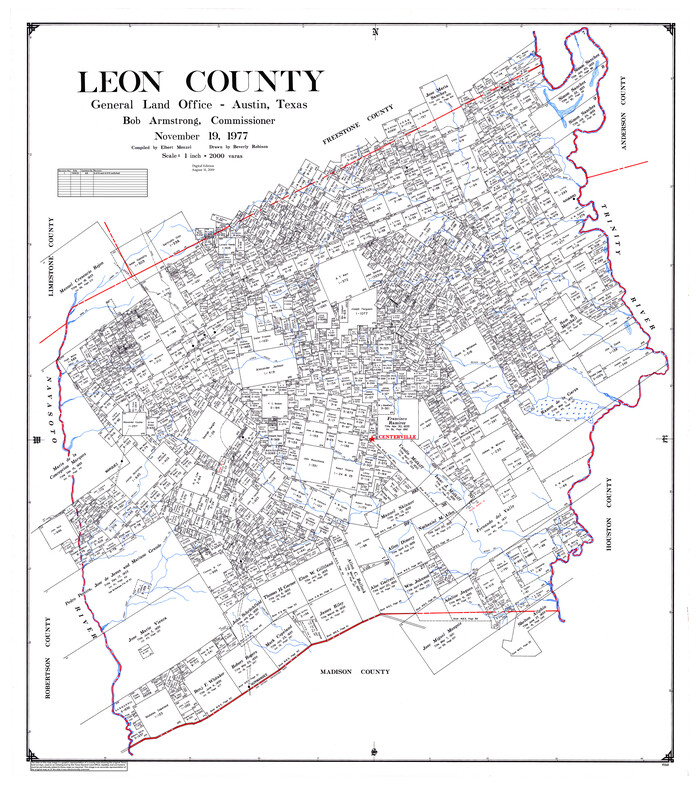
Leon County
1977
-
Size
48.8 x 43.5 inches
-
Map/Doc
95568
-
Creation Date
1977
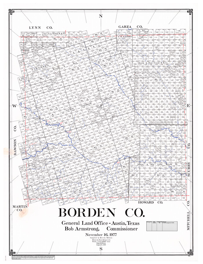
Borden Co.
1977
-
Size
46.5 x 35.2 inches
-
Map/Doc
95431
-
Creation Date
1977
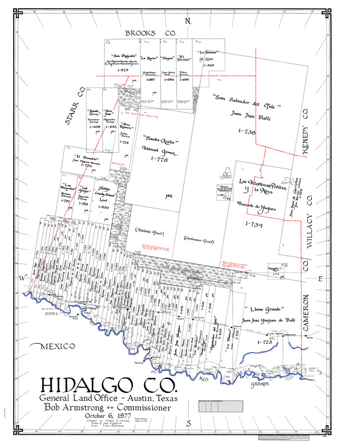
Hidalgo Co.
1977
-
Size
47.9 x 37.0 inches
-
Map/Doc
95529
-
Creation Date
1977

Guadalupe County
1977
-
Size
36.5 x 47.8 inches
-
Map/Doc
95515
-
Creation Date
1977

Starr County
1977
-
Size
43.1 x 56.2 inches
-
Map/Doc
95643
-
Creation Date
1977

South Part of El Paso Co.
1977
-
Size
36.5 x 47.8 inches
-
Map/Doc
95491
-
Creation Date
1977