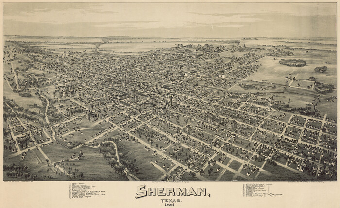
West and Trans-Pecos Texas with parts of New Mexico and Mexico and a New Map of Big Bend Ranch State Park and Surrounding Area

Print $32.48
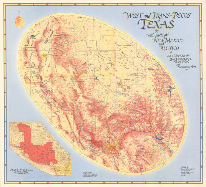
West and Trans-Pecos Texas with parts of New Mexico and Mexico and a New Map of Big Bend Ranch State Park and Surrounding Area
1988
Size: 28.0 x 31.0 inches
89070
Waco, Tex., County Seat of McLennan Co.


Print $20.00
Waco, Tex., County Seat of McLennan Co.
1886
Size: 23.1 x 32.7 inches
89212
Waco, Tex., County Seat of McLennan Co.

Print $20.00
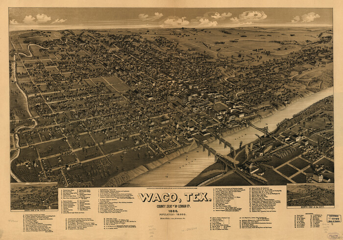
Waco, Tex., County Seat of McLennan Co.
1886
Size: 16.9 x 30.7 inches
93473
The Making of America - The Southwest


The Making of America - The Southwest
Size: 20.8 x 27.5 inches
95947
The Making of America - Northern Plains
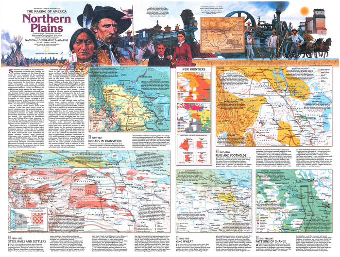

The Making of America - Northern Plains
Size: 20.7 x 27.3 inches
95943
The Land of Open Sky - Southwest U.S.A.


The Land of Open Sky - Southwest U.S.A.
Size: 20.2 x 15.6 inches
95945
The Inca, Machu Picchu Salutes the Sun


The Inca, Machu Picchu Salutes the Sun
Size: 20.4 x 31.3 inches
95935
The Great Texas Coastal Birding Trail, Central Texas Coast
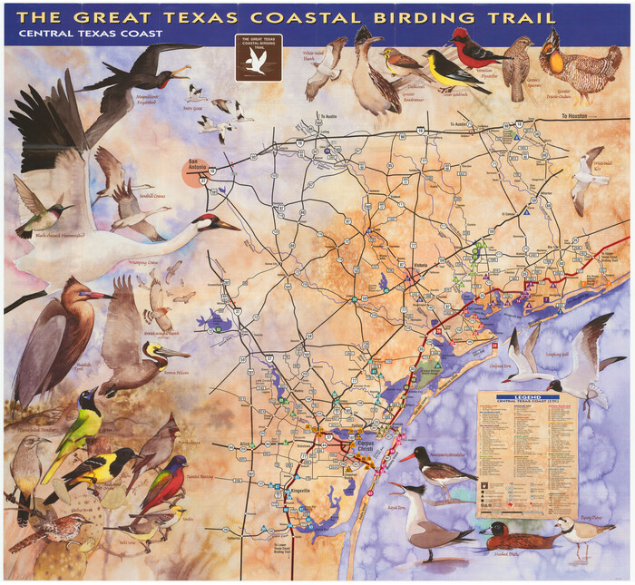

The Great Texas Coastal Birding Trail, Central Texas Coast
Size: 33.1 x 36.0 inches
94339
Texas for Tourists, a highway and reference map published by the Dallas Morning News for the Texas Almanac and State Industrial Guide


Texas for Tourists, a highway and reference map published by the Dallas Morning News for the Texas Almanac and State Industrial Guide
1936
Size: 20.3 x 26.4 inches
94294
Texas Land Commissioner Jerry Patterson's Great Military Map of Texas showing Significant Conflicts and Events between 1685 and 1916


Print $20.00
- Digital $50.00
Texas Land Commissioner Jerry Patterson's Great Military Map of Texas showing Significant Conflicts and Events between 1685 and 1916
2006
Size: 36.7 x 24.8 inches
83432
Texas Aerial Photo-Illustrated Map
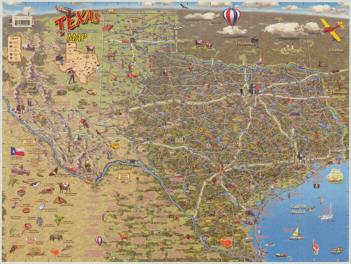

Texas Aerial Photo-Illustrated Map
Size: 21.3 x 28.3 inches
94397
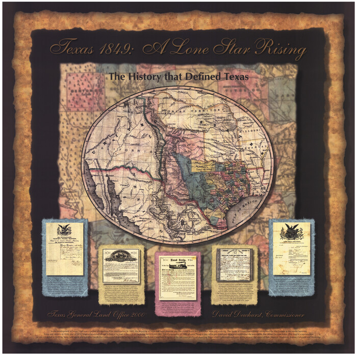
Texas 1849: A Lone Star Rising

Print $20.00
- Digital $50.00
Texas 1849: A Lone Star Rising
2000
Size: 40.6 x 40.7 inches
78270
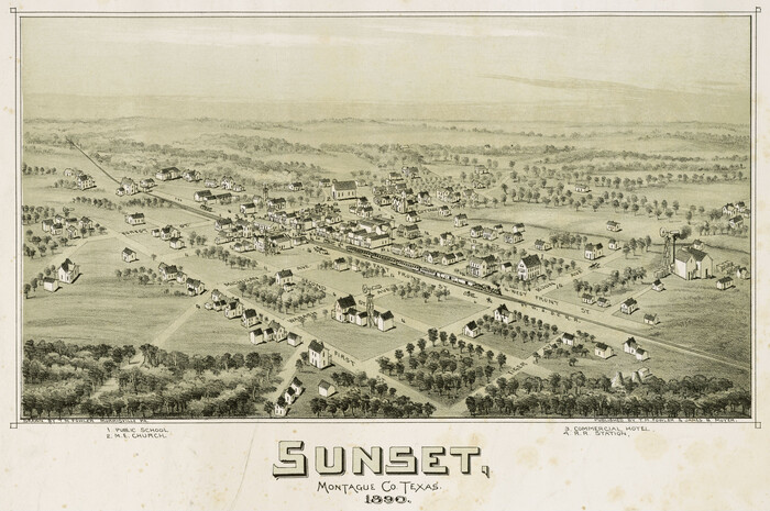
Sunset, Montague Co., Texas

Print $20.00
Sunset, Montague Co., Texas
1890
Size: 9.7 x 14.5 inches
89209
Sunset, Montague Co., Texas
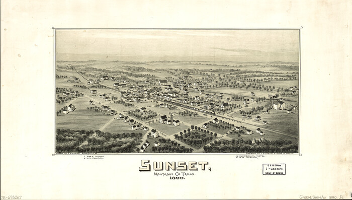

Print $20.00
Sunset, Montague Co., Texas
1890
Size: 21.0 x 37.0 inches
93481
Seymour, Baylor County, Texas


Print $20.00
Seymour, Baylor County, Texas
1890
Size: 15.4 x 24.2 inches
89207
Reyno de la Nueva España a Principios del Siglo XIX


Print $20.00
- Digital $50.00
Reyno de la Nueva España a Principios del Siglo XIX
1885
Size: 25.6 x 32.7 inches
93751
Revolutionary Map of Texas, 1836


Print $27.06
Revolutionary Map of Texas, 1836
1986
Size: 32.7 x 26.7 inches
89022
Plano, Collin County, Texas
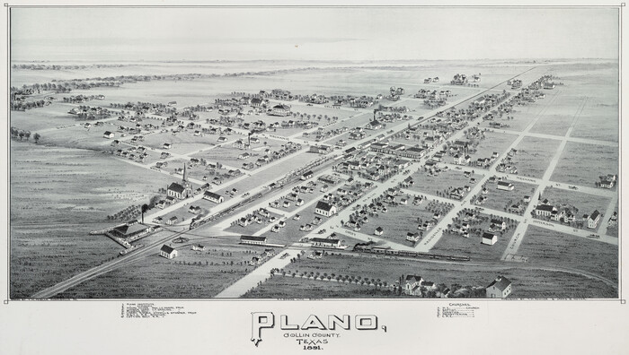

Print $20.00
Plano, Collin County, Texas
1891
Size: 12.8 x 22.6 inches
93758
Perspective Map of the City of Laredo, Texas, the Gateway to and from Mexico


Print $20.00
Perspective Map of the City of Laredo, Texas, the Gateway to and from Mexico
1892
Size: 22.1 x 34.2 inches
89098
Perspective Map of the City of Laredo, Texas, the Gateway to and from Mexico
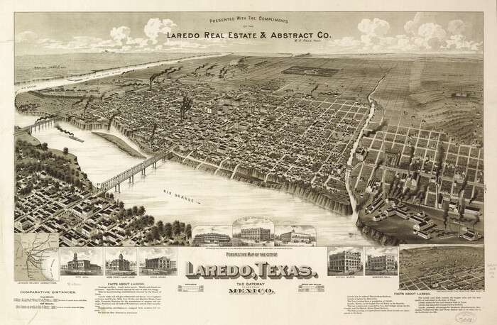

Print $20.00
Perspective Map of the City of Laredo, Texas, the Gateway to and from Mexico
1892
Size: 24.0 x 36.7 inches
93478
Wolfe City, Texas
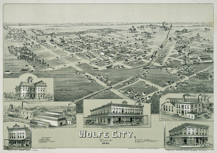

Print $20.00
Wolfe City, Texas
1891
-
Size
14.5 x 20.5 inches
-
Map/Doc
89215
-
Creation Date
1891
Wolfe City, Texas
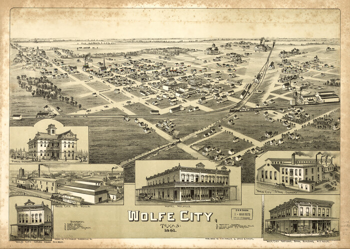

Print $20.00
Wolfe City, Texas
1891
-
Size
16.3 x 22.9 inches
-
Map/Doc
93477
-
Creation Date
1891
Wichita Falls, Texas
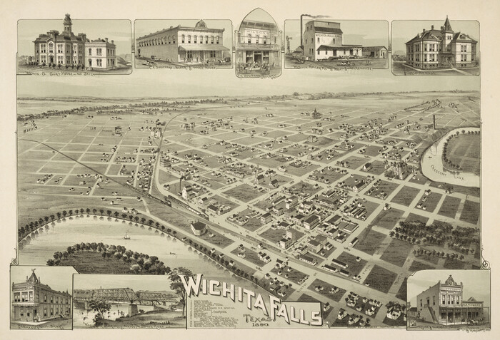

Print $20.00
Wichita Falls, Texas
1890
-
Size
21.0 x 30.9 inches
-
Map/Doc
89214
-
Creation Date
1890
Whitewright, Texas


Print $20.00
Whitewright, Texas
1891
-
Size
14.3 x 24.3 inches
-
Map/Doc
89213
-
Creation Date
1891
West and Trans-Pecos Texas with parts of New Mexico and Mexico and a New Map of Big Bend Ranch State Park and Surrounding Area


Print $32.48
West and Trans-Pecos Texas with parts of New Mexico and Mexico and a New Map of Big Bend Ranch State Park and Surrounding Area
1988
-
Size
28.0 x 31.0 inches
-
Map/Doc
89070
-
Creation Date
1988
Waco, Texas 1892


Print $20.00
Waco, Texas 1892
1892
-
Size
14.5 x 23.9 inches
-
Map/Doc
93469
-
Creation Date
1892
Waco, Tex., County Seat of McLennan Co.


Print $20.00
Waco, Tex., County Seat of McLennan Co.
1886
-
Size
23.1 x 32.7 inches
-
Map/Doc
89212
-
Creation Date
1886
Waco, Tex., County Seat of McLennan Co.


Print $20.00
Waco, Tex., County Seat of McLennan Co.
1886
-
Size
16.9 x 30.7 inches
-
Map/Doc
93473
-
Creation Date
1886
The Making of America - The Southwest


The Making of America - The Southwest
-
Size
20.8 x 27.5 inches
-
Map/Doc
95947
The Making of America - Northern Plains


The Making of America - Northern Plains
-
Size
20.7 x 27.3 inches
-
Map/Doc
95943
The Land of Open Sky - Southwest U.S.A.


The Land of Open Sky - Southwest U.S.A.
-
Size
20.2 x 15.6 inches
-
Map/Doc
95945
The Inca, Machu Picchu Salutes the Sun


The Inca, Machu Picchu Salutes the Sun
-
Size
20.4 x 31.3 inches
-
Map/Doc
95935
The Great Texas Coastal Birding Trail, Central Texas Coast


The Great Texas Coastal Birding Trail, Central Texas Coast
-
Size
33.1 x 36.0 inches
-
Map/Doc
94339
Texas for Tourists, a highway and reference map published by the Dallas Morning News for the Texas Almanac and State Industrial Guide


Texas for Tourists, a highway and reference map published by the Dallas Morning News for the Texas Almanac and State Industrial Guide
1936
-
Size
20.3 x 26.4 inches
-
Map/Doc
94294
-
Creation Date
1936
Texas Land Commissioner Jerry Patterson's Great Military Map of Texas showing Significant Conflicts and Events between 1685 and 1916


Print $20.00
- Digital $50.00
Texas Land Commissioner Jerry Patterson's Great Military Map of Texas showing Significant Conflicts and Events between 1685 and 1916
2006
-
Size
36.7 x 24.8 inches
-
Map/Doc
83432
-
Creation Date
2006
Texas Aerial Photo-Illustrated Map


Texas Aerial Photo-Illustrated Map
-
Size
21.3 x 28.3 inches
-
Map/Doc
94397
Texas 1849: A Lone Star Rising


Print $20.00
- Digital $50.00
Texas 1849: A Lone Star Rising
2000
-
Size
40.6 x 40.7 inches
-
Map/Doc
78270
-
Creation Date
2000
Texas
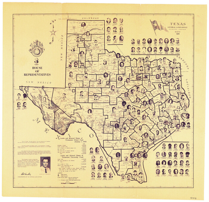

Print $20.00
- Digital $50.00
Texas
1975
-
Size
14.5 x 15.0 inches
-
Map/Doc
95716
-
Creation Date
1975
Sunset, Montague Co., Texas


Print $20.00
Sunset, Montague Co., Texas
1890
-
Size
9.7 x 14.5 inches
-
Map/Doc
89209
-
Creation Date
1890
Sunset, Montague Co., Texas


Print $20.00
Sunset, Montague Co., Texas
1890
-
Size
21.0 x 37.0 inches
-
Map/Doc
93481
-
Creation Date
1890
Seymour, Baylor County, Texas


Print $20.00
Seymour, Baylor County, Texas
1890
-
Size
15.4 x 24.2 inches
-
Map/Doc
89207
-
Creation Date
1890
Reyno de la Nueva España a Principios del Siglo XIX


Print $20.00
- Digital $50.00
Reyno de la Nueva España a Principios del Siglo XIX
1885
-
Size
25.6 x 32.7 inches
-
Map/Doc
93751
-
Creation Date
1885
Revolutionary Map of Texas, 1836


Print $27.06
Revolutionary Map of Texas, 1836
1986
-
Size
32.7 x 26.7 inches
-
Map/Doc
89022
-
Creation Date
1986
Quanah, Texas


Print $20.00
Quanah, Texas
1890
-
Size
13.0 x 20.6 inches
-
Map/Doc
89202
-
Creation Date
1890
Plano, Collin County, Texas


Print $20.00
Plano, Collin County, Texas
1891
-
Size
12.8 x 22.6 inches
-
Map/Doc
93758
-
Creation Date
1891
Perspective Map of the City of Laredo, Texas, the Gateway to and from Mexico


Print $20.00
Perspective Map of the City of Laredo, Texas, the Gateway to and from Mexico
1892
-
Size
22.1 x 34.2 inches
-
Map/Doc
89098
-
Creation Date
1892
Perspective Map of the City of Laredo, Texas, the Gateway to and from Mexico


Print $20.00
Perspective Map of the City of Laredo, Texas, the Gateway to and from Mexico
1892
-
Size
24.0 x 36.7 inches
-
Map/Doc
93478
-
Creation Date
1892

