Public School Land Field Note Volume Index


Public School Land Field Note Volume Index
2023
Size: 8.5 x 11.0 inches
97176
Plat of Re-survey Section 8, Block 66 1/2, Public School Land


Print $2.00
- Digital $50.00
Plat of Re-survey Section 8, Block 66 1/2, Public School Land
1972
Size: 11.3 x 8.7 inches
60299
Plat of Re-survey Section 8, Block 66 1/2, Public School Land


Print $20.00
- Digital $50.00
Plat of Re-survey Section 8, Block 66 1/2, Public School Land
1972
Size: 15.9 x 38.8 inches
2080
Hudspeth County Sketch File 27


Print $5.00
- Digital $50.00
Hudspeth County Sketch File 27
1941
Size: 9.3 x 14.3 inches
26984
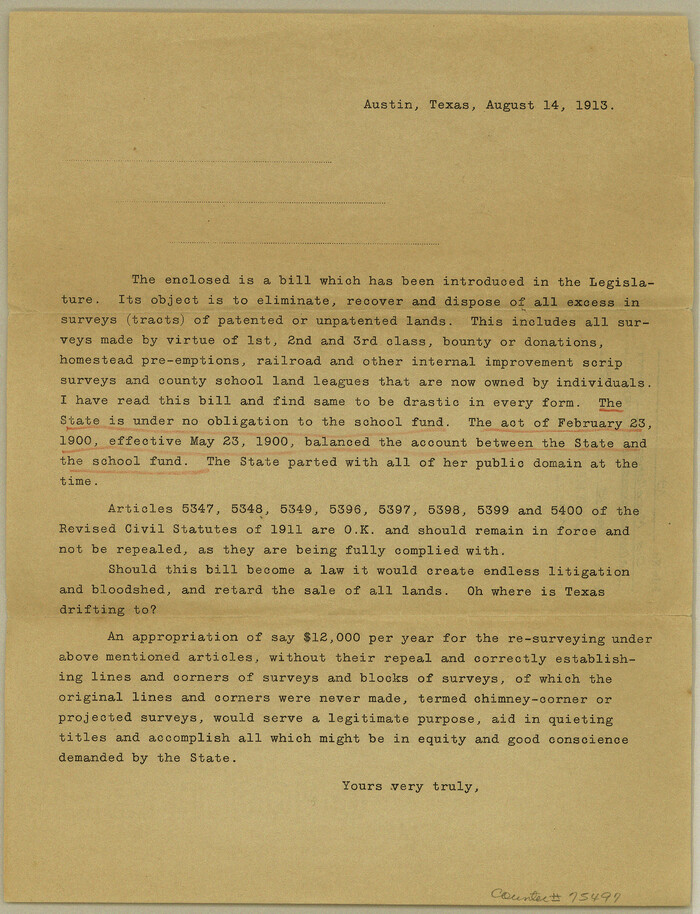
Old Miscellaneous File 18

Print $4.00
- Digital $50.00
Old Miscellaneous File 18
1913
Size: 11.3 x 8.6 inches
75497
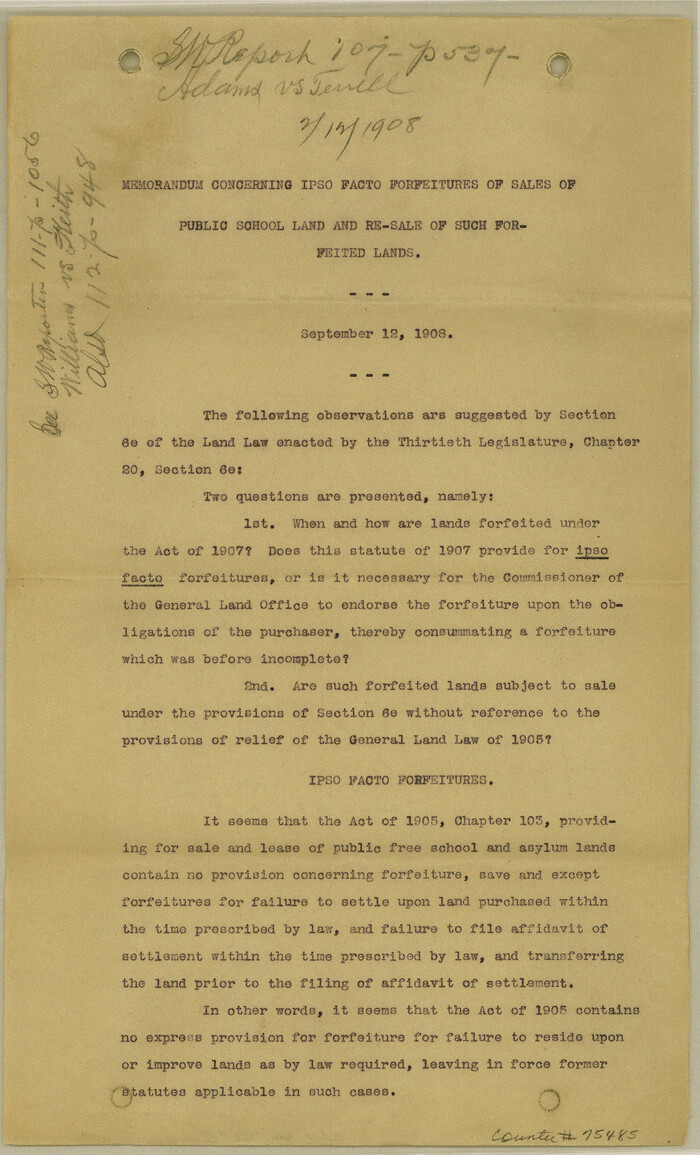
Old Miscellaneous File 17

Print $24.00
- Digital $50.00
Old Miscellaneous File 17
1908
Size: 14.2 x 8.6 inches
75485
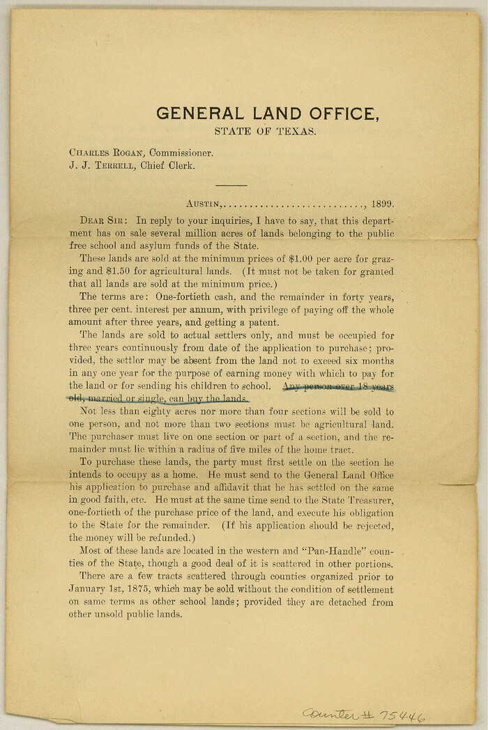
Old Miscellaneous File 13

Print $6.00
- Digital $50.00
Old Miscellaneous File 13
1899
Size: 9.7 x 6.5 inches
75446
Old Miscellaneous File 14


Print $4.00
- Digital $50.00
Old Miscellaneous File 14
1898
Size: 11.2 x 8.6 inches
75449
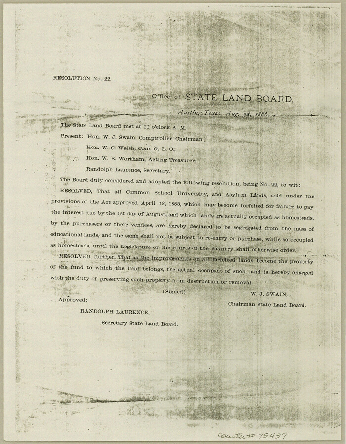
Old Miscellaneous File 11

Print $4.00
- Digital $50.00
Old Miscellaneous File 11
1886
Size: 11.2 x 8.8 inches
75437
List of County School Lands
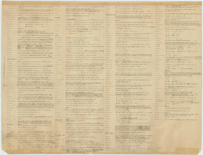

Print $20.00
- Digital $50.00
List of County School Lands
Size: 17.7 x 23.2 inches
65797
List of County School Lands


Print $20.00
- Digital $50.00
List of County School Lands
Size: 18.4 x 23.4 inches
65798
Current Miscellaneous File 87
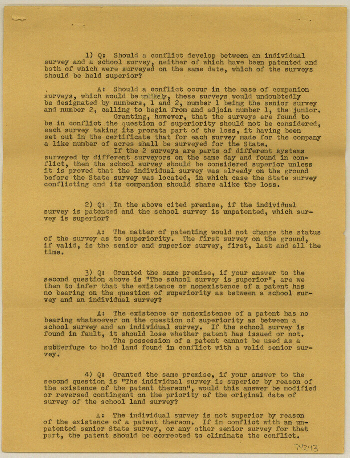

Print $8.00
- Digital $50.00
Current Miscellaneous File 87
Size: 11.3 x 8.6 inches
74243
Current Miscellaneous File 113


Print $52.00
- Digital $50.00
Current Miscellaneous File 113
Size: 23.8 x 17.1 inches
74787
PSL Field Notes for Blocks A19, A20, A22, A23, A26, A28, A29, A30, A31, A32, A33, A34, A35, A36, A37, A38, A39, A40, A41 in Andrews County


PSL Field Notes for Blocks A19, A20, A22, A23, A26, A28, A29, A30, A31, A32, A33, A34, A35, A36, A37, A38, A39, A40, A41 in Andrews County
81642
PSL Field Notes for Block A19 in Andrews County, C45 in Andrews and Gaines Counties, C31 in Dawson and Gaines Counties, C34 in Terry and Gaines Counties, C35 in Yoakum and Gaines Counties, and Blocks C30, C32, C33, C43, and C44 in Gaines County


PSL Field Notes for Block A19 in Andrews County, C45 in Andrews and Gaines Counties, C31 in Dawson and Gaines Counties, C34 in Terry and Gaines Counties, C35 in Yoakum and Gaines Counties, and Blocks C30, C32, C33, C43, and C44 in Gaines County
81643
PSL Field Notes for Blocks A42 through A55 in Andrews County


PSL Field Notes for Blocks A42 through A55 in Andrews County
81644
PSL Field Notes for Blocks G, L, P, and Q in Cochran and Yoakum Counties and Blocks U, V, W, Y, and Z in Cochran County


PSL Field Notes for Blocks G, L, P, and Q in Cochran and Yoakum Counties and Blocks U, V, W, Y, and Z in Cochran County
81645
PSL Field Notes for Blocks B14 and B16 in Crane and Ector Counties, Blocks B18 and B20 in Crane and Ward Counties, and Blocks B17, B21, B22, B23, B24, B25, and B26 in Crane County


PSL Field Notes for Blocks B14 and B16 in Crane and Ector Counties, Blocks B18 and B20 in Crane and Ward Counties, and Blocks B17, B21, B22, B23, B24, B25, and B26 in Crane County
81646
PSL Field Notes for Blocks B13, B18, and B28 in Crane and Ward Counties, and Blocks B19, B20, and B29 in Ward County


PSL Field Notes for Blocks B13, B18, and B28 in Crane and Ward Counties, and Blocks B19, B20, and B29 in Ward County
81647
PSL Field Notes for Block B27 in Crane County and Block B28 in Crane and Ward Counties


PSL Field Notes for Block B27 in Crane County and Block B28 in Crane and Ward Counties
81648
PSL Field Notes for Blocks C38 and C39 in Dawson and Terry Counties, and Block C41 in Dawson, Lynn, and Terry Counties


PSL Field Notes for Blocks C38 and C39 in Dawson and Terry Counties, and Block C41 in Dawson, Lynn, and Terry Counties
81650
PSL Field Notes for Block B13 in Crane, Ector, Ward, and Winkler Counties, Blocks B14 and B16 in Crane and Ector Counties, Blocks B7 and B8 in Ector and Winkler Counties and Block B15 in Ector County


PSL Field Notes for Block B13 in Crane, Ector, Ward, and Winkler Counties, Blocks B14 and B16 in Crane and Ector Counties, Blocks B7 and B8 in Ector and Winkler Counties and Block B15 in Ector County
81651
State University and PSL Blocks 1 through 77 in Andrews, Culberson, Crane, Ector, El Paso, Gaines, Loving, Martin, Reeves, Tom Green, Ward County, and Winkler Counties


State University and PSL Blocks 1 through 77 in Andrews, Culberson, Crane, Ector, El Paso, Gaines, Loving, Martin, Reeves, Tom Green, Ward County, and Winkler Counties
81652
PSL Field Notes for Blocks 1, 5, 6, and 7 in El Paso County and Blocks 2, 3, 4, 8, 9, 10, 11, 12, 13, and 14 in Hudspeth County


PSL Field Notes for Blocks 1, 5, 6, and 7 in El Paso County and Blocks 2, 3, 4, 8, 9, 10, 11, 12, 13, and 14 in Hudspeth County
81653
PSL Field Notes for Blocks A27 and A28 in Andrews and Gaines Counties, and Blocks A6 through A13, A20 through A26, and A30 in Gaines County


PSL Field Notes for Blocks A27 and A28 in Andrews and Gaines Counties, and Blocks A6 through A13, A20 through A26, and A30 in Gaines County
81654
PSL Field Notes for Blocks 1 and 2, Hansford and Sherman Counties, Blocks 3 and 4, Hansford County, Blocks A1, A2, A4, A5, and A6 in Hartley County, Block C0 in Hockley, Lubbock, Lynn, and Terry Counties, and Blocks A and B in Kent County


PSL Field Notes for Blocks 1 and 2, Hansford and Sherman Counties, Blocks 3 and 4, Hansford County, Blocks A1, A2, A4, A5, and A6 in Hartley County, Block C0 in Hockley, Lubbock, Lynn, and Terry Counties, and Blocks A and B in Kent County
81655
PSL Field Notes for Blocks I, O, and X in Hockley and Terry Counties and Blocks A and D in Hockley County


PSL Field Notes for Blocks I, O, and X in Hockley and Terry Counties and Blocks A and D in Hockley County
81657
PSL Field Notes for Block JKL in Hudspeth County


PSL Field Notes for Block JKL in Hudspeth County
81658
Public School Land Field Note Volume Index


Public School Land Field Note Volume Index
2023
This index was created to help users determine which PSL field note volume to view. Organized by...
-
Size
8.5 x 11.0 inches
-
Map/Doc
97176
-
Creation Date
2023
Plat of Re-survey Section 8, Block 66 1/2, Public School Land


Print $2.00
- Digital $50.00
Plat of Re-survey Section 8, Block 66 1/2, Public School Land
1972
-
Size
11.3 x 8.7 inches
-
Map/Doc
60299
-
Creation Date
1972
Plat of Re-survey Section 8, Block 66 1/2, Public School Land


Print $20.00
- Digital $50.00
Plat of Re-survey Section 8, Block 66 1/2, Public School Land
1972
-
Size
15.9 x 38.8 inches
-
Map/Doc
2080
-
Creation Date
1972
Hudspeth County Sketch File 27


Print $5.00
- Digital $50.00
Hudspeth County Sketch File 27
1941
-
Size
9.3 x 14.3 inches
-
Map/Doc
26984
-
Creation Date
1941
Old Miscellaneous File 18


Print $4.00
- Digital $50.00
Old Miscellaneous File 18
1913
-
Size
11.3 x 8.6 inches
-
Map/Doc
75497
-
Creation Date
1913
Old Miscellaneous File 17


Print $24.00
- Digital $50.00
Old Miscellaneous File 17
1908
-
Size
14.2 x 8.6 inches
-
Map/Doc
75485
-
Creation Date
1908
Old Miscellaneous File 13


Print $6.00
- Digital $50.00
Old Miscellaneous File 13
1899
-
Size
9.7 x 6.5 inches
-
Map/Doc
75446
-
Creation Date
1899
Old Miscellaneous File 14


Print $4.00
- Digital $50.00
Old Miscellaneous File 14
1898
-
Size
11.2 x 8.6 inches
-
Map/Doc
75449
-
Creation Date
1898
Old Miscellaneous File 11


Print $4.00
- Digital $50.00
Old Miscellaneous File 11
1886
-
Size
11.2 x 8.8 inches
-
Map/Doc
75437
-
Creation Date
1886
List of County School Lands


Print $20.00
- Digital $50.00
List of County School Lands
-
Size
17.7 x 23.2 inches
-
Map/Doc
65797
List of County School Lands


Print $20.00
- Digital $50.00
List of County School Lands
-
Size
18.4 x 23.4 inches
-
Map/Doc
65798
Current Miscellaneous File 87


Print $8.00
- Digital $50.00
Current Miscellaneous File 87
-
Size
11.3 x 8.6 inches
-
Map/Doc
74243
Current Miscellaneous File 113


Print $52.00
- Digital $50.00
Current Miscellaneous File 113
-
Size
23.8 x 17.1 inches
-
Map/Doc
74787
PSL Field Notes for Blocks A19, A20, A22, A23, A26, A28, A29, A30, A31, A32, A33, A34, A35, A36, A37, A38, A39, A40, A41 in Andrews County


PSL Field Notes for Blocks A19, A20, A22, A23, A26, A28, A29, A30, A31, A32, A33, A34, A35, A36, A37, A38, A39, A40, A41 in Andrews County
-
Map/Doc
81642
PSL Field Notes for Block A19 in Andrews County, C45 in Andrews and Gaines Counties, C31 in Dawson and Gaines Counties, C34 in Terry and Gaines Counties, C35 in Yoakum and Gaines Counties, and Blocks C30, C32, C33, C43, and C44 in Gaines County


PSL Field Notes for Block A19 in Andrews County, C45 in Andrews and Gaines Counties, C31 in Dawson and Gaines Counties, C34 in Terry and Gaines Counties, C35 in Yoakum and Gaines Counties, and Blocks C30, C32, C33, C43, and C44 in Gaines County
-
Map/Doc
81643
PSL Field Notes for Blocks A42 through A55 in Andrews County


PSL Field Notes for Blocks A42 through A55 in Andrews County
-
Map/Doc
81644
PSL Field Notes for Blocks G, L, P, and Q in Cochran and Yoakum Counties and Blocks U, V, W, Y, and Z in Cochran County


PSL Field Notes for Blocks G, L, P, and Q in Cochran and Yoakum Counties and Blocks U, V, W, Y, and Z in Cochran County
-
Map/Doc
81645
PSL Field Notes for Blocks B14 and B16 in Crane and Ector Counties, Blocks B18 and B20 in Crane and Ward Counties, and Blocks B17, B21, B22, B23, B24, B25, and B26 in Crane County


PSL Field Notes for Blocks B14 and B16 in Crane and Ector Counties, Blocks B18 and B20 in Crane and Ward Counties, and Blocks B17, B21, B22, B23, B24, B25, and B26 in Crane County
-
Map/Doc
81646
PSL Field Notes for Blocks B13, B18, and B28 in Crane and Ward Counties, and Blocks B19, B20, and B29 in Ward County


PSL Field Notes for Blocks B13, B18, and B28 in Crane and Ward Counties, and Blocks B19, B20, and B29 in Ward County
-
Map/Doc
81647
PSL Field Notes for Block B27 in Crane County and Block B28 in Crane and Ward Counties


PSL Field Notes for Block B27 in Crane County and Block B28 in Crane and Ward Counties
-
Map/Doc
81648
PSL Field Notes for Block CS in Dallam County


PSL Field Notes for Block CS in Dallam County
-
Map/Doc
81649
PSL Field Notes for Blocks C38 and C39 in Dawson and Terry Counties, and Block C41 in Dawson, Lynn, and Terry Counties


PSL Field Notes for Blocks C38 and C39 in Dawson and Terry Counties, and Block C41 in Dawson, Lynn, and Terry Counties
-
Map/Doc
81650
PSL Field Notes for Block B13 in Crane, Ector, Ward, and Winkler Counties, Blocks B14 and B16 in Crane and Ector Counties, Blocks B7 and B8 in Ector and Winkler Counties and Block B15 in Ector County


PSL Field Notes for Block B13 in Crane, Ector, Ward, and Winkler Counties, Blocks B14 and B16 in Crane and Ector Counties, Blocks B7 and B8 in Ector and Winkler Counties and Block B15 in Ector County
-
Map/Doc
81651
State University and PSL Blocks 1 through 77 in Andrews, Culberson, Crane, Ector, El Paso, Gaines, Loving, Martin, Reeves, Tom Green, Ward County, and Winkler Counties


State University and PSL Blocks 1 through 77 in Andrews, Culberson, Crane, Ector, El Paso, Gaines, Loving, Martin, Reeves, Tom Green, Ward County, and Winkler Counties
-
Map/Doc
81652
PSL Field Notes for Blocks 1, 5, 6, and 7 in El Paso County and Blocks 2, 3, 4, 8, 9, 10, 11, 12, 13, and 14 in Hudspeth County


PSL Field Notes for Blocks 1, 5, 6, and 7 in El Paso County and Blocks 2, 3, 4, 8, 9, 10, 11, 12, 13, and 14 in Hudspeth County
-
Map/Doc
81653
PSL Field Notes for Blocks A27 and A28 in Andrews and Gaines Counties, and Blocks A6 through A13, A20 through A26, and A30 in Gaines County


PSL Field Notes for Blocks A27 and A28 in Andrews and Gaines Counties, and Blocks A6 through A13, A20 through A26, and A30 in Gaines County
-
Map/Doc
81654
PSL Field Notes for Blocks 1 and 2, Hansford and Sherman Counties, Blocks 3 and 4, Hansford County, Blocks A1, A2, A4, A5, and A6 in Hartley County, Block C0 in Hockley, Lubbock, Lynn, and Terry Counties, and Blocks A and B in Kent County


PSL Field Notes for Blocks 1 and 2, Hansford and Sherman Counties, Blocks 3 and 4, Hansford County, Blocks A1, A2, A4, A5, and A6 in Hartley County, Block C0 in Hockley, Lubbock, Lynn, and Terry Counties, and Blocks A and B in Kent County
-
Map/Doc
81655
PSL Field Notes for Block CS in Hartley County


PSL Field Notes for Block CS in Hartley County
-
Map/Doc
81656
PSL Field Notes for Blocks I, O, and X in Hockley and Terry Counties and Blocks A and D in Hockley County


PSL Field Notes for Blocks I, O, and X in Hockley and Terry Counties and Blocks A and D in Hockley County
-
Map/Doc
81657
PSL Field Notes for Block JKL in Hudspeth County


PSL Field Notes for Block JKL in Hudspeth County
-
Map/Doc
81658