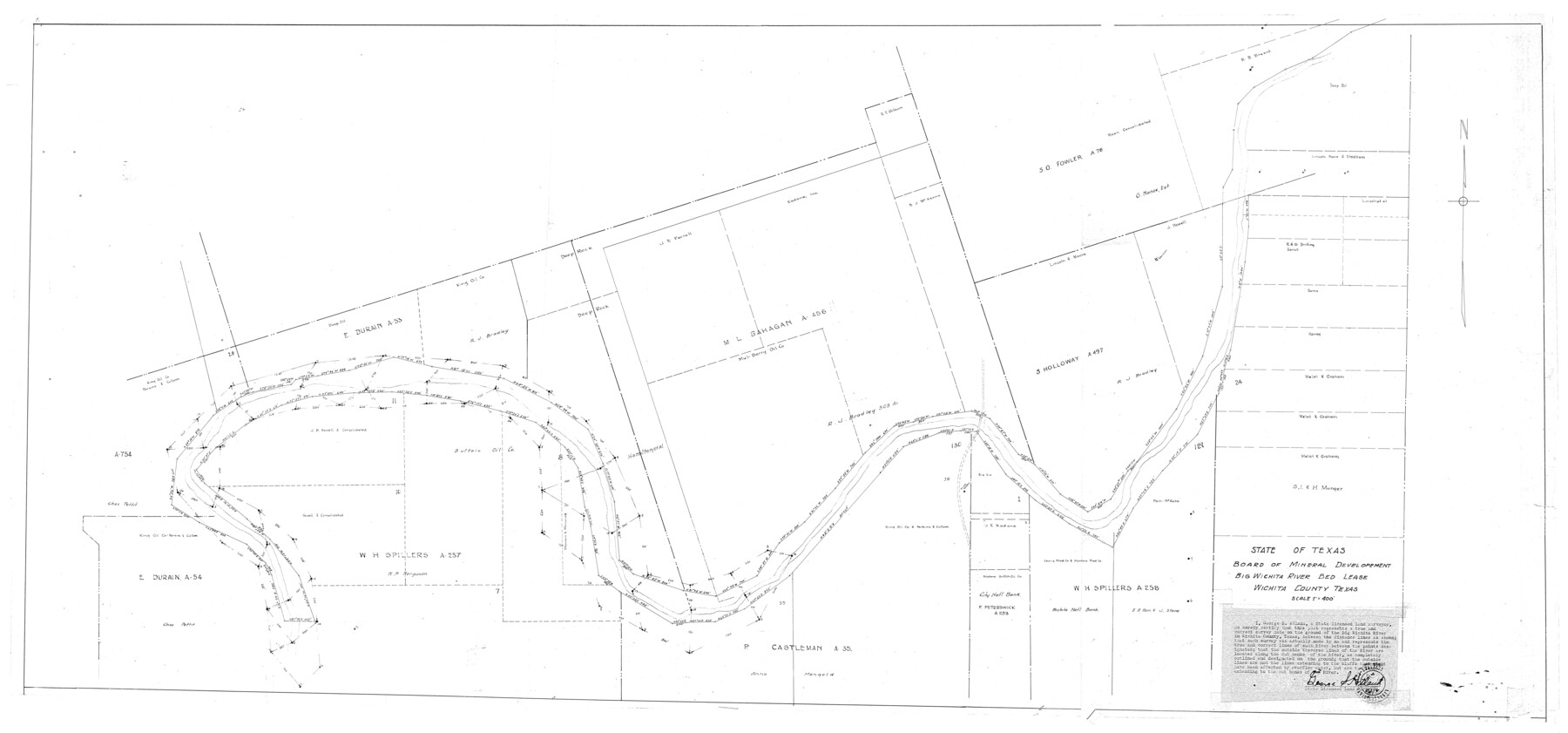
Wichita County Rolled Sketch 14A
Big Wichita River Bed lease, Wichita County, Texas
-
Map/Doc
10138
-
Collection
General Map Collection
-
People and Organizations
George S. Hiland (Surveyor/Engineer)
-
Counties
Wichita
-
Subjects
Surveying Rolled Sketch
-
Height x Width
28.0 x 59.9 inches
71.1 x 152.2 cm
-
Scale
1" = 400 feet
Part of: General Map Collection
Hydrography Survey H-6395 Off Coast of Texas, Aransas Pass to Corpus Christi Pass in the Gulf of Mexico

Print $40.00
- Digital $50.00
Hydrography Survey H-6395 Off Coast of Texas, Aransas Pass to Corpus Christi Pass in the Gulf of Mexico
1938
Size 56.1 x 33.6 inches
Map/Doc 2696
El Paso County Rolled Sketch 52

Print $20.00
- Digital $50.00
El Paso County Rolled Sketch 52
1929
Size 18.4 x 24.4 inches
Map/Doc 5845
Live Oak County Sketch File 1

Print $4.00
- Digital $50.00
Live Oak County Sketch File 1
1856
Size 11.5 x 7.8 inches
Map/Doc 30251
Texas Intracoastal Waterway - Matagorda Bay, Cedar Lakes to Oyster Lake

Print $20.00
- Digital $50.00
Texas Intracoastal Waterway - Matagorda Bay, Cedar Lakes to Oyster Lake
1960
Size 27.2 x 38.9 inches
Map/Doc 73369
Carta Marina Nvova Tavola

Print $20.00
- Digital $50.00
Carta Marina Nvova Tavola
1574
Size 9.0 x 12.4 inches
Map/Doc 97081
Harris County Working Sketch 93

Print $20.00
- Digital $50.00
Harris County Working Sketch 93
1977
Size 25.9 x 21.1 inches
Map/Doc 65985
Newton County Working Sketch 26

Print $20.00
- Digital $50.00
Newton County Working Sketch 26
1953
Size 18.3 x 16.4 inches
Map/Doc 71272
Orange County Working Sketch 50

Print $20.00
- Digital $50.00
Orange County Working Sketch 50
1991
Size 36.0 x 43.6 inches
Map/Doc 71382
St. Louis, Arkansas & Texas R'y, Lufkin Branch, Formerly the Kansas & Gulf Short Line

Print $20.00
- Digital $50.00
St. Louis, Arkansas & Texas R'y, Lufkin Branch, Formerly the Kansas & Gulf Short Line
1888
Size 10.5 x 42.8 inches
Map/Doc 64271
Tyler County Rolled Sketch 3

Print $20.00
- Digital $50.00
Tyler County Rolled Sketch 3
1946
Size 45.5 x 35.6 inches
Map/Doc 10027
Gaines County Working Sketch 12

Print $20.00
- Digital $50.00
Gaines County Working Sketch 12
1954
Size 27.1 x 37.0 inches
Map/Doc 69312
Hale County Sketch File 3a

Print $20.00
- Digital $50.00
Hale County Sketch File 3a
Size 21.1 x 14.6 inches
Map/Doc 11593
You may also like
Sabine County Working Sketch 8

Print $20.00
- Digital $50.00
Sabine County Working Sketch 8
1923
Size 40.8 x 43.5 inches
Map/Doc 63679
Zapata County Working Sketch 18

Print $20.00
- Digital $50.00
Zapata County Working Sketch 18
1975
Size 43.2 x 29.1 inches
Map/Doc 62069
Tyler County Rolled Sketch 8

Print $20.00
- Digital $50.00
Tyler County Rolled Sketch 8
1965
Size 18.1 x 25.4 inches
Map/Doc 8058
West Part of Liberty Co.

Print $20.00
- Digital $50.00
West Part of Liberty Co.
1977
Size 43.5 x 32.9 inches
Map/Doc 77353
Flight Mission No. BRE-1P, Frame 68, Nueces County

Print $20.00
- Digital $50.00
Flight Mission No. BRE-1P, Frame 68, Nueces County
1956
Size 17.7 x 21.8 inches
Map/Doc 86650
New Commercial Map of Texas

Print $20.00
New Commercial Map of Texas
1900
Size 28.1 x 34.0 inches
Map/Doc 76199

Brewster County Working Sketch 97

Print $20.00
- Digital $50.00
Brewster County Working Sketch 97
1978
Size 31.7 x 47.0 inches
Map/Doc 67697

Fort Bend Co.

Print $20.00
- Digital $50.00
Fort Bend Co.
1931
Size 39.1 x 40.8 inches
Map/Doc 73150
Brewster County Working Sketch 50

Print $40.00
- Digital $50.00
Brewster County Working Sketch 50
1950
Size 31.5 x 48.4 inches
Map/Doc 67584
Crockett County Rolled Sketch 26

Print $20.00
- Digital $50.00
Crockett County Rolled Sketch 26
Size 33.7 x 40.9 inches
Map/Doc 5585